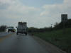
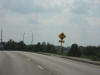
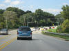
 Right
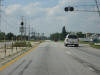
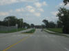
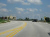
at the DuPage-Kane County line on Roosevelt Road, there are some railroad
tracks and a light at Kautz Road. The light is relatively new, about 5
years old I would guess. Right
at the DuPage-Kane County line on Roosevelt Road, there are some railroad
tracks and a light at Kautz Road. The light is relatively new, about 5
years old I would guess. |
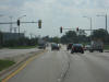
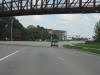
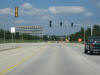
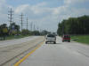 Now
in Kane County continuing on IL 38 WB. The Roosevelt Road designation
ends about 1 mile ahead at Kirk Road in Geneva. Now
in Kane County continuing on IL 38 WB. The Roosevelt Road designation
ends about 1 mile ahead at Kirk Road in Geneva. |
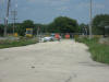
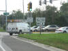 Okay,
skip around back into DuPage County, and here we are in southern
Warrenville. The intersection of IL 56 and IL 59. Okay,
skip around back into DuPage County, and here we are in southern
Warrenville. The intersection of IL 56 and IL 59. |
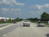
 Butterfield
Road (IL 56) becomes a divided road from just east to just west of Route 59. Butterfield
Road (IL 56) becomes a divided road from just east to just west of Route 59. |
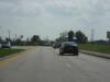
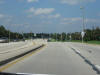
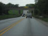 Continuing
westbound on IL 56, you can see that there is a right-of-way wide enough for
widening. This is under the Elgin, Joliet, and Eastern railroad again. Continuing
westbound on IL 56, you can see that there is a right-of-way wide enough for
widening. This is under the Elgin, Joliet, and Eastern railroad again. |
 Like
Roosevelt Road, Butterfield Road also goes up to 55 m.p.h. west of IL 59. Like
Roosevelt Road, Butterfield Road also goes up to 55 m.p.h. west of IL 59. |
 Eola
Road north of Route 56 has been closed to traffic through Fermilab. It
is really cool to bike down the Fermilab roads, because they are just like
they were in the 1960s, when Fermilab was created. Eola
Road north of Route 56 has been closed to traffic through Fermilab. It
is really cool to bike down the Fermilab roads, because they are just like
they were in the 1960s, when Fermilab was created. |
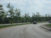
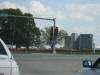
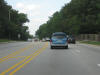
 This
is modern-day southbound Eola Road. Effectively, the north end of Eola
Road is at IL 56. This is technically the city of Aurora. This
is modern-day southbound Eola Road. Effectively, the north end of Eola
Road is at IL 56. This is technically the city of Aurora. |
 Some
curves and trees. Some
curves and trees. |
 Oh,
boy!! We're approaching the new part of Ferry Road!!! For more
information as to why this is special to me, see my
Ferry Road
page. Oh,
boy!! We're approaching the new part of Ferry Road!!! For more
information as to why this is special to me, see my
Ferry Road
page. |
 To
the left is Ferry Road, and to the right is Bilter Road. To
the left is Ferry Road, and to the right is Bilter Road. |
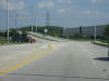 Last
time I was here, the 4-lane section ended where the curve to the left is
now. There was a giant pile of dirt where the new road is now. Last
time I was here, the 4-lane section ended where the curve to the left is
now. There was a giant pile of dirt where the new road is now. |
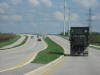 Wheee!!!
Over the railroad tracks, which the old road crossed just to the north.
That alignment has since been abandoned. Wheee!!!
Over the railroad tracks, which the old road crossed just to the north.
That alignment has since been abandoned. |
 I
wouldn't be surprised to see a bunch of commercial development here the next
time I stop by. I
wouldn't be surprised to see a bunch of commercial development here the next
time I stop by. |
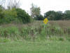 The
old road used to curve around to the left where these weeds are. I
guess the construction crews forgot to take out this sign. Ahhh, a
relic of the past. The
old road used to curve around to the left where these weeds are. I
guess the construction crews forgot to take out this sign. Ahhh, a
relic of the past. |
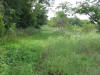
 The
old alignment, which has now been grown over with weeds. I called it!!
See my page on Ferry Road, where I said this old road would be overgrown. The
old alignment, which has now been grown over with weeds. I called it!!
See my page on Ferry Road, where I said this old road would be overgrown. |
 I
used to drive over this grass, when it was pavement. By the way, this
is looking back west. I
used to drive over this grass, when it was pavement. By the way, this
is looking back west. |
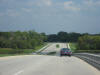
 Back
eastbound on the new Ferry Road. Back
eastbound on the new Ferry Road. |
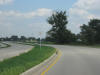
 Heading
back into Warrenville. Heading
back into Warrenville. |
 Going
under the Prairie Path, approaching IL 59. Going
under the Prairie Path, approaching IL 59. |
 When
it was connected to Warrenville Road in Naperville about 10 years ago, CR 3
was extended along Ferry Road to Route 59. Now it has been extended to
Eola Road. When
it was connected to Warrenville Road in Naperville about 10 years ago, CR 3
was extended along Ferry Road to Route 59. Now it has been extended to
Eola Road. |
 East
of IL 59. East
of IL 59. |
 Going
over the West Branch of the DuPage River, entering the development of
Cantera. Going
over the West Branch of the DuPage River, entering the development of
Cantera. |
 This
stoplight is for the business-people at the commercial developments. This
stoplight is for the business-people at the commercial developments. |
 Now
just north of Ferry Road on Winfield Road. Now
just north of Ferry Road on Winfield Road. |
 This
is what northbound Winfield Road looks like north of Butterfield Rd. This
is what northbound Winfield Road looks like north of Butterfield Rd. |
 Approaching
Mack Road. Approaching
Mack Road. |
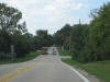
 This
is Purnell Road, a really pretty drive for about 1.5 miles. It goes
through my old neighborhood. This
is Purnell Road, a really pretty drive for about 1.5 miles. It goes
through my old neighborhood. |
 Take
the next left to get to my old house. Take
the next left to get to my old house. |
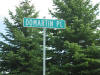 The
very first road sign photograph I ever took was of this sign. The
original is not on this web site, but here is a tribute to it. The
road I used to live on. The
very first road sign photograph I ever took was of this sign. The
original is not on this web site, but here is a tribute to it. The
road I used to live on. |
 Right
at the DuPage-Kane County line on Roosevelt Road, there are some railroad
tracks and a light at Kautz Road. The light is relatively new, about 5
years old I would guess.
Right
at the DuPage-Kane County line on Roosevelt Road, there are some railroad
tracks and a light at Kautz Road. The light is relatively new, about 5
years old I would guess.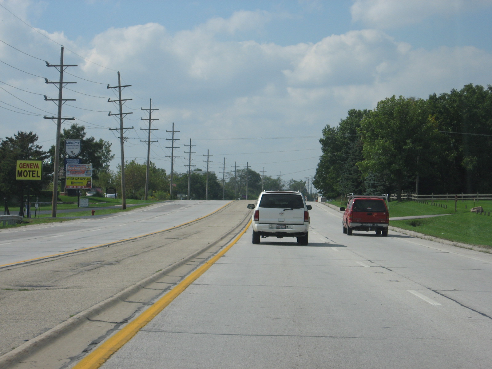 Now
in Kane County continuing on IL 38 WB. The Roosevelt Road designation
ends about 1 mile ahead at Kirk Road in Geneva.
Now
in Kane County continuing on IL 38 WB. The Roosevelt Road designation
ends about 1 mile ahead at Kirk Road in Geneva. Okay,
skip around back into DuPage County, and here we are in southern
Warrenville. The intersection of IL 56 and IL 59.
Okay,
skip around back into DuPage County, and here we are in southern
Warrenville. The intersection of IL 56 and IL 59.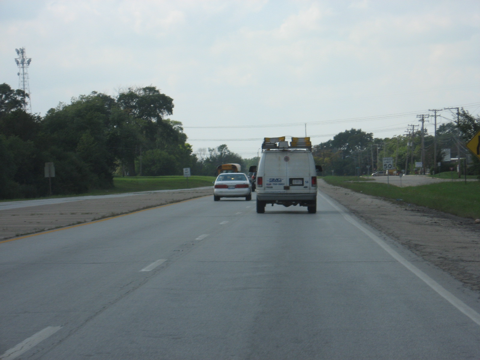 Butterfield
Road (IL 56) becomes a divided road from just east to just west of Route 59.
Butterfield
Road (IL 56) becomes a divided road from just east to just west of Route 59.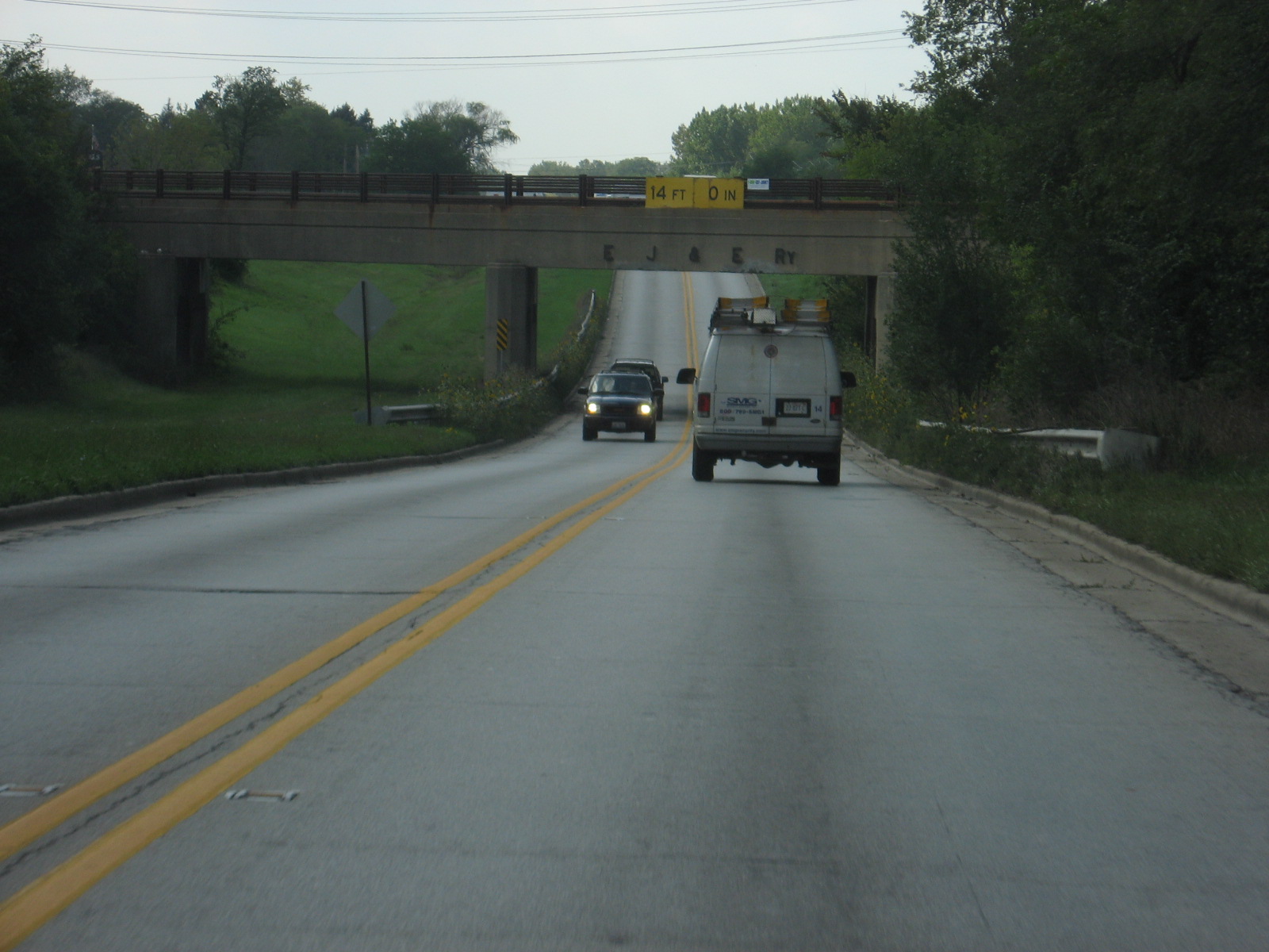 Continuing
westbound on IL 56, you can see that there is a right-of-way wide enough for
widening. This is under the Elgin, Joliet, and Eastern railroad again.
Continuing
westbound on IL 56, you can see that there is a right-of-way wide enough for
widening. This is under the Elgin, Joliet, and Eastern railroad again.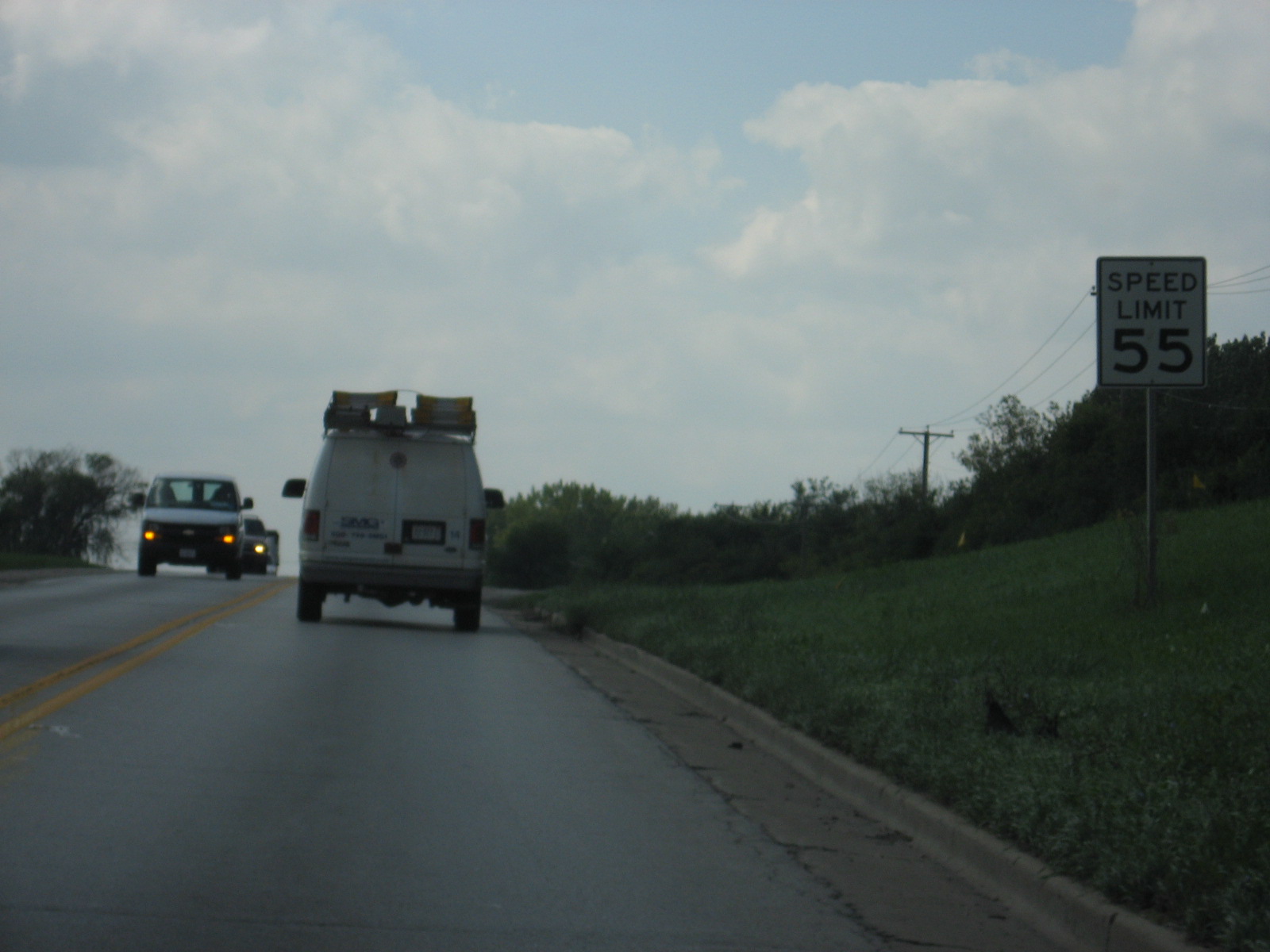 Like
Roosevelt Road, Butterfield Road also goes up to 55 m.p.h. west of IL 59.
Like
Roosevelt Road, Butterfield Road also goes up to 55 m.p.h. west of IL 59.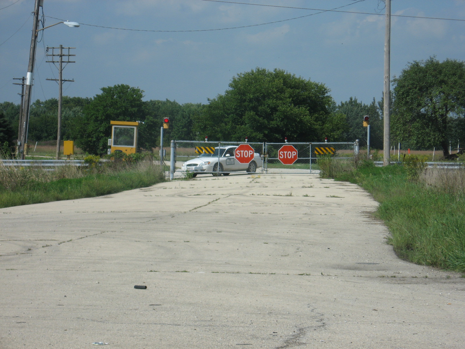 Eola
Road north of Route 56 has been closed to traffic through Fermilab. It
is really cool to bike down the Fermilab roads, because they are just like
they were in the 1960s, when Fermilab was created.
Eola
Road north of Route 56 has been closed to traffic through Fermilab. It
is really cool to bike down the Fermilab roads, because they are just like
they were in the 1960s, when Fermilab was created. This
is modern-day southbound Eola Road. Effectively, the north end of Eola
Road is at IL 56. This is technically the city of Aurora.
This
is modern-day southbound Eola Road. Effectively, the north end of Eola
Road is at IL 56. This is technically the city of Aurora.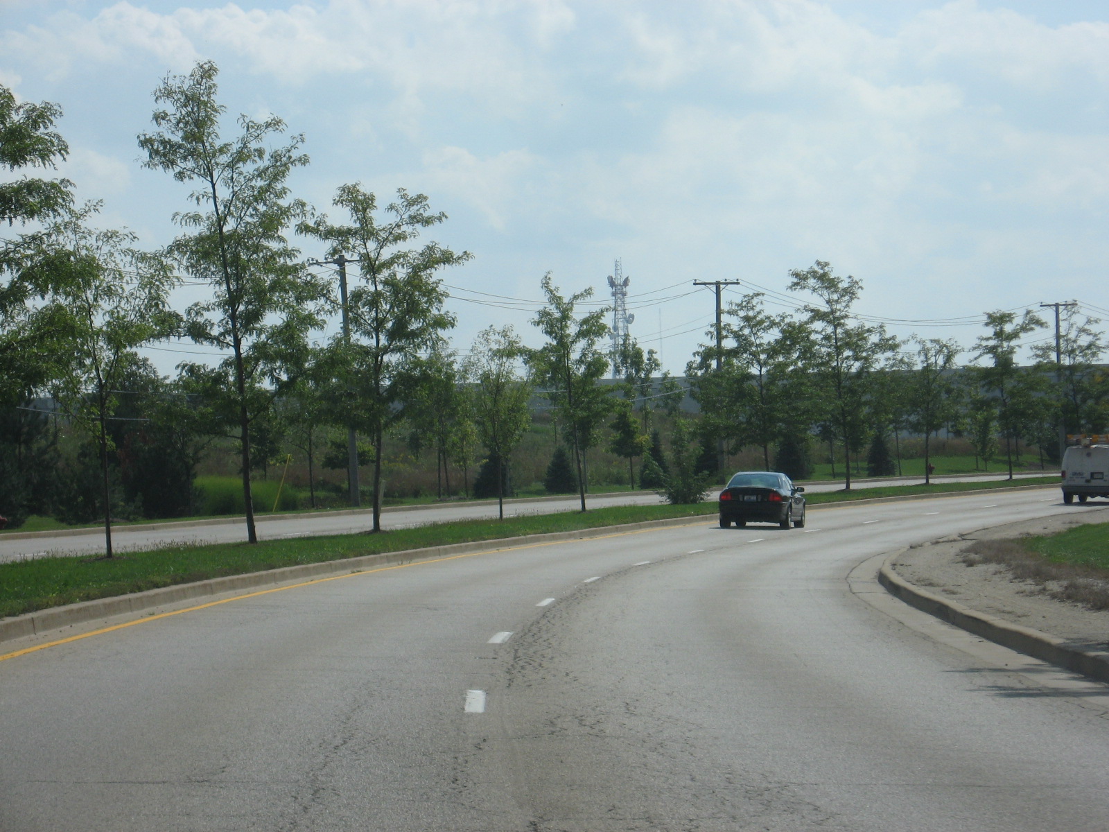 Some
curves and trees.
Some
curves and trees.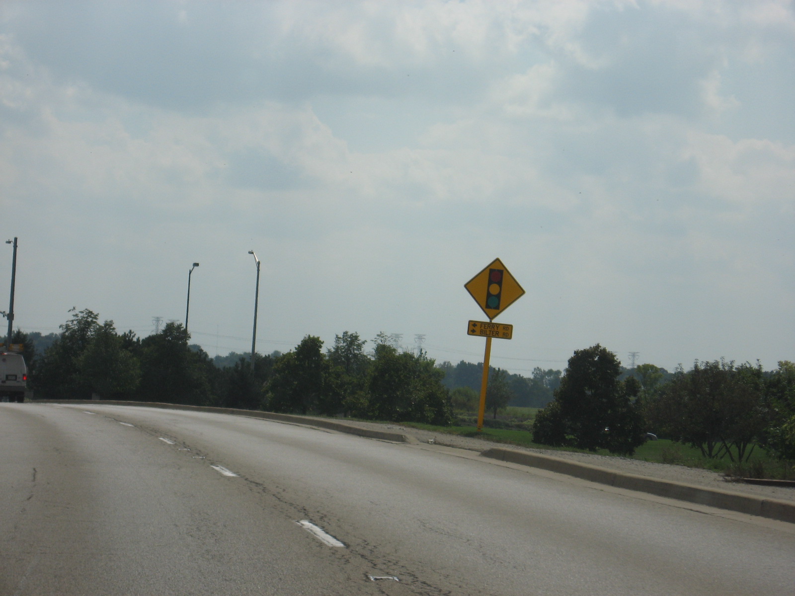 Oh,
boy!! We're approaching the new part of Ferry Road!!! For more
information as to why this is special to me, see my
Ferry Road
page.
Oh,
boy!! We're approaching the new part of Ferry Road!!! For more
information as to why this is special to me, see my
Ferry Road
page. To
the left is Ferry Road, and to the right is Bilter Road.
To
the left is Ferry Road, and to the right is Bilter Road.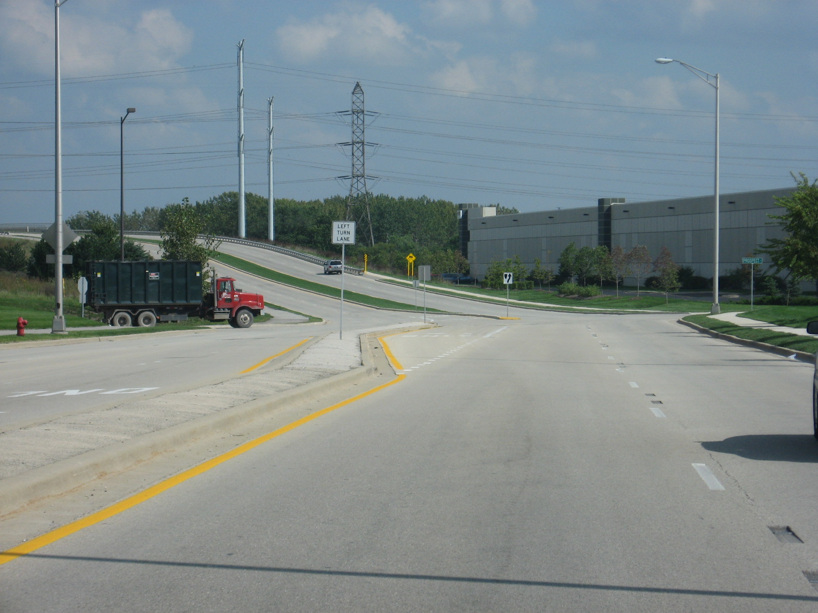 Last
time I was here, the 4-lane section ended where the curve to the left is
now. There was a giant pile of dirt where the new road is now.
Last
time I was here, the 4-lane section ended where the curve to the left is
now. There was a giant pile of dirt where the new road is now.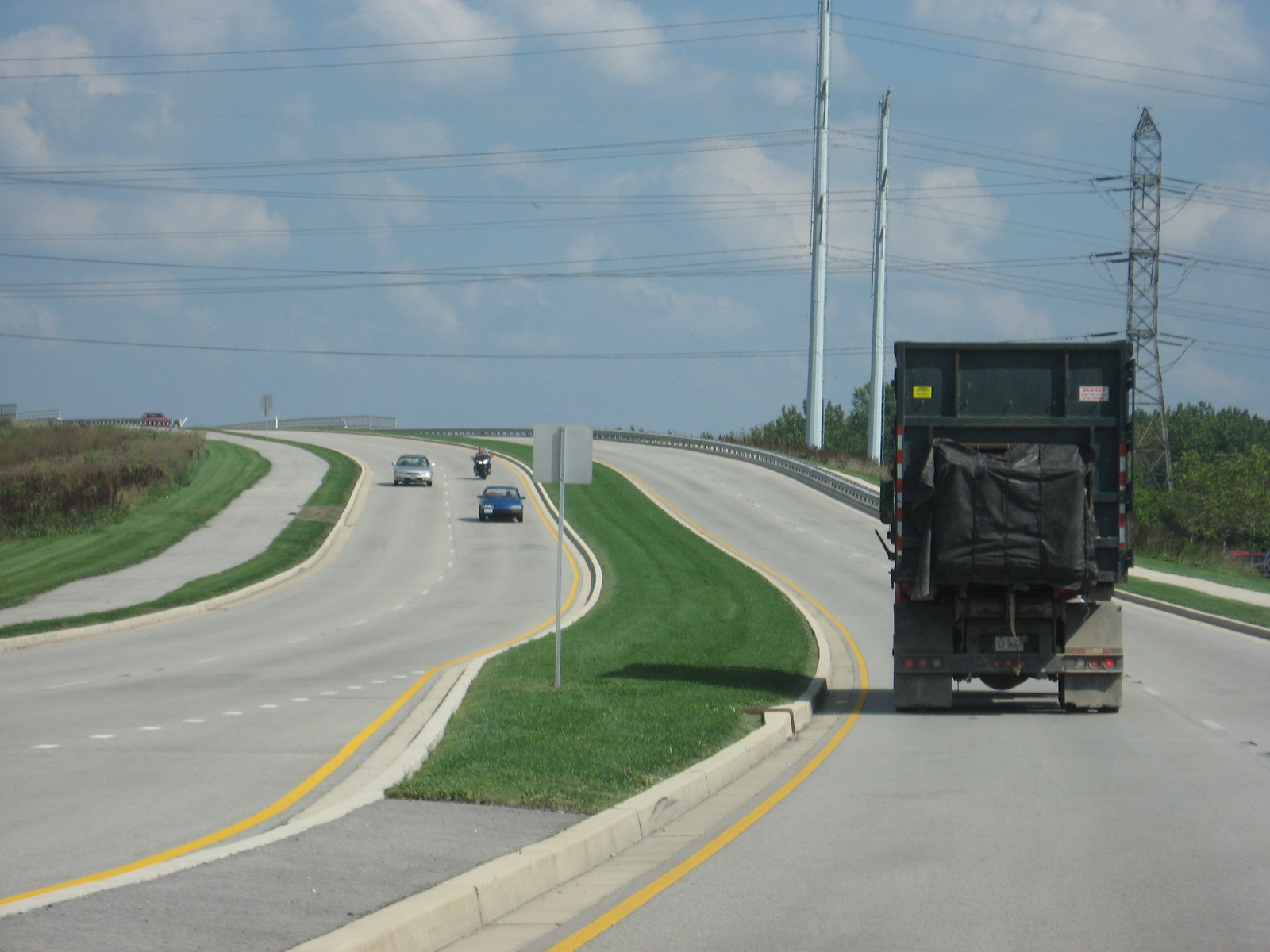 Wheee!!!
Over the railroad tracks, which the old road crossed just to the north.
That alignment has since been abandoned.
Wheee!!!
Over the railroad tracks, which the old road crossed just to the north.
That alignment has since been abandoned.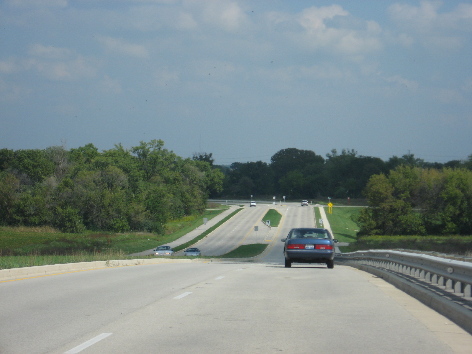 I
wouldn't be surprised to see a bunch of commercial development here the next
time I stop by.
I
wouldn't be surprised to see a bunch of commercial development here the next
time I stop by.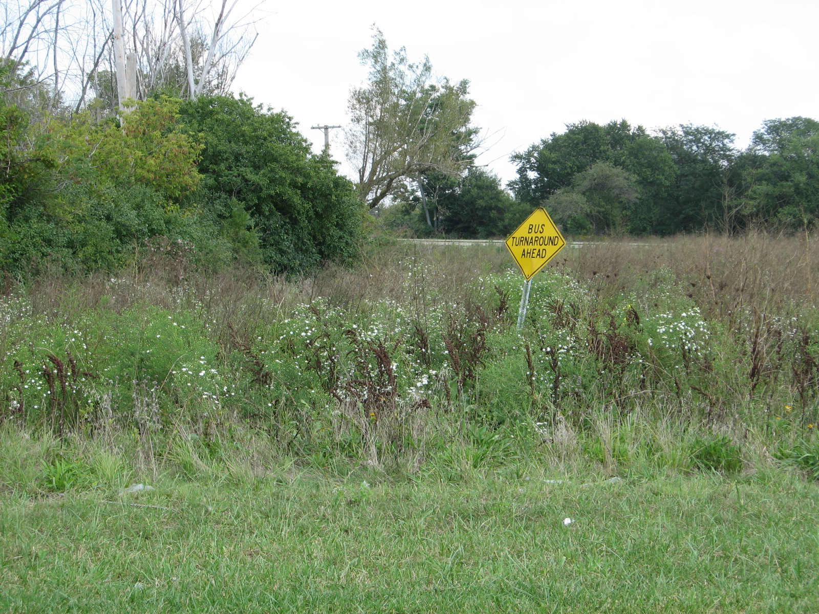 The
old road used to curve around to the left where these weeds are. I
guess the construction crews forgot to take out this sign. Ahhh, a
relic of the past.
The
old road used to curve around to the left where these weeds are. I
guess the construction crews forgot to take out this sign. Ahhh, a
relic of the past.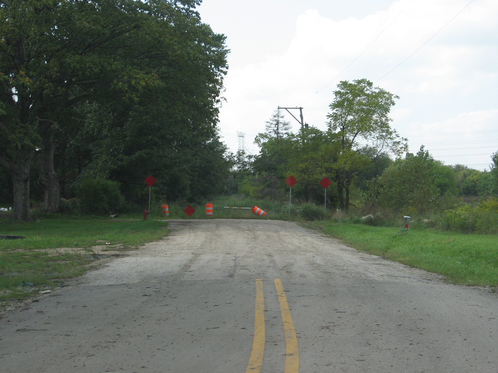 The
old alignment, which has now been grown over with weeds. I called it!!
See my page on Ferry Road, where I said this old road would be overgrown.
The
old alignment, which has now been grown over with weeds. I called it!!
See my page on Ferry Road, where I said this old road would be overgrown.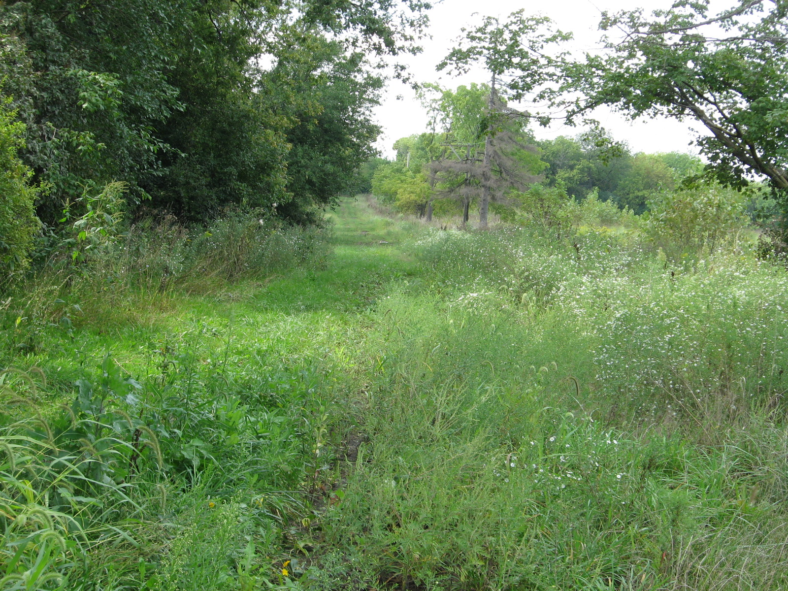 I
used to drive over this grass, when it was pavement. By the way, this
is looking back west.
I
used to drive over this grass, when it was pavement. By the way, this
is looking back west.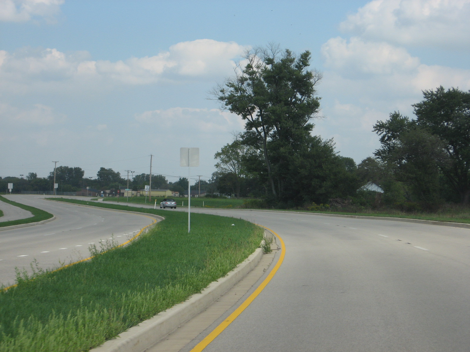 Back
eastbound on the new Ferry Road.
Back
eastbound on the new Ferry Road.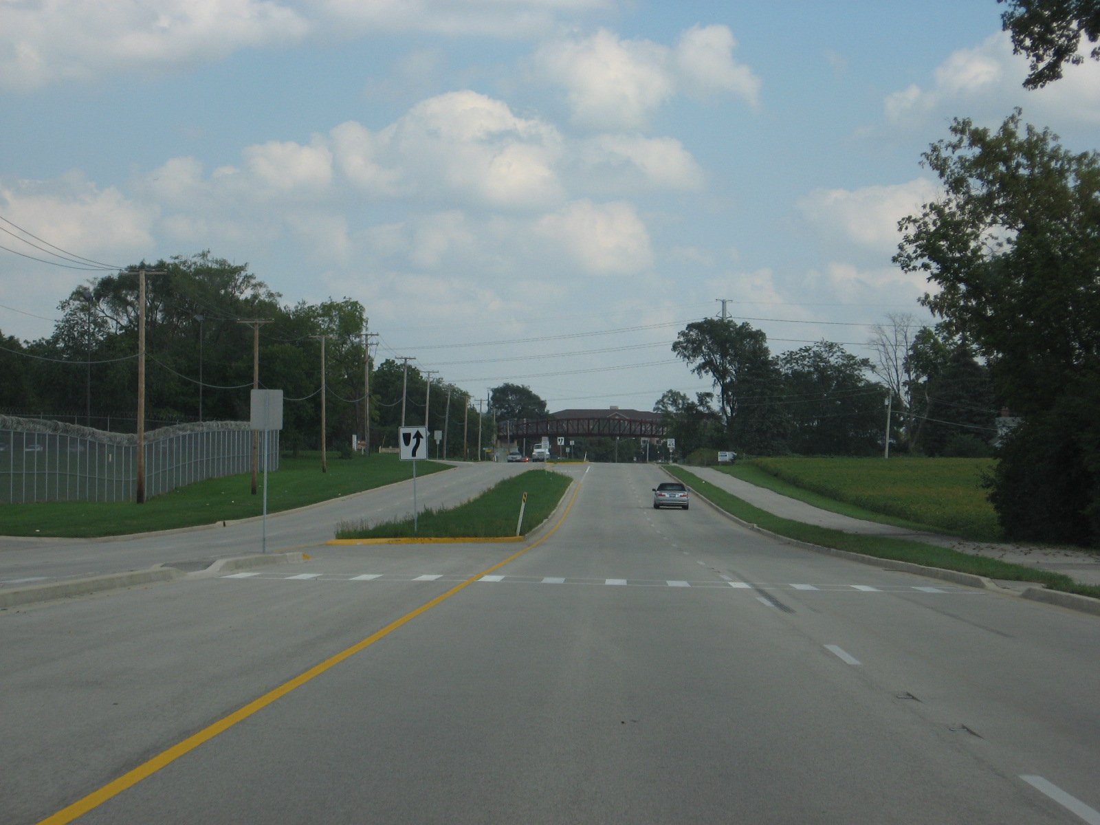 Heading
back into Warrenville.
Heading
back into Warrenville.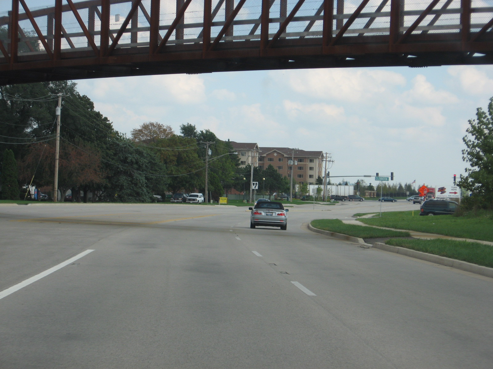 Going
under the Prairie Path, approaching IL 59.
Going
under the Prairie Path, approaching IL 59.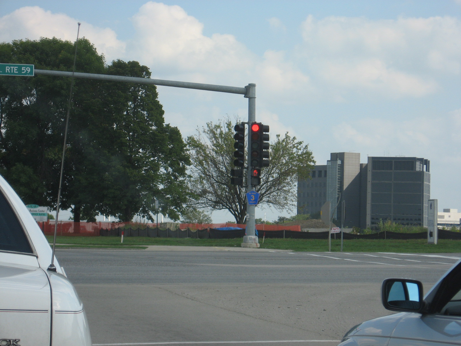 When
it was connected to Warrenville Road in Naperville about 10 years ago, CR 3
was extended along Ferry Road to Route 59. Now it has been extended to
Eola Road.
When
it was connected to Warrenville Road in Naperville about 10 years ago, CR 3
was extended along Ferry Road to Route 59. Now it has been extended to
Eola Road. East
of IL 59.
East
of IL 59.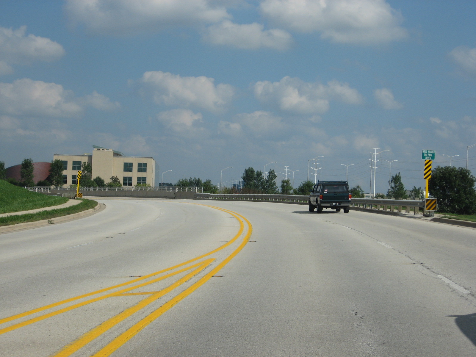 Going
over the West Branch of the DuPage River, entering the development of
Cantera.
Going
over the West Branch of the DuPage River, entering the development of
Cantera.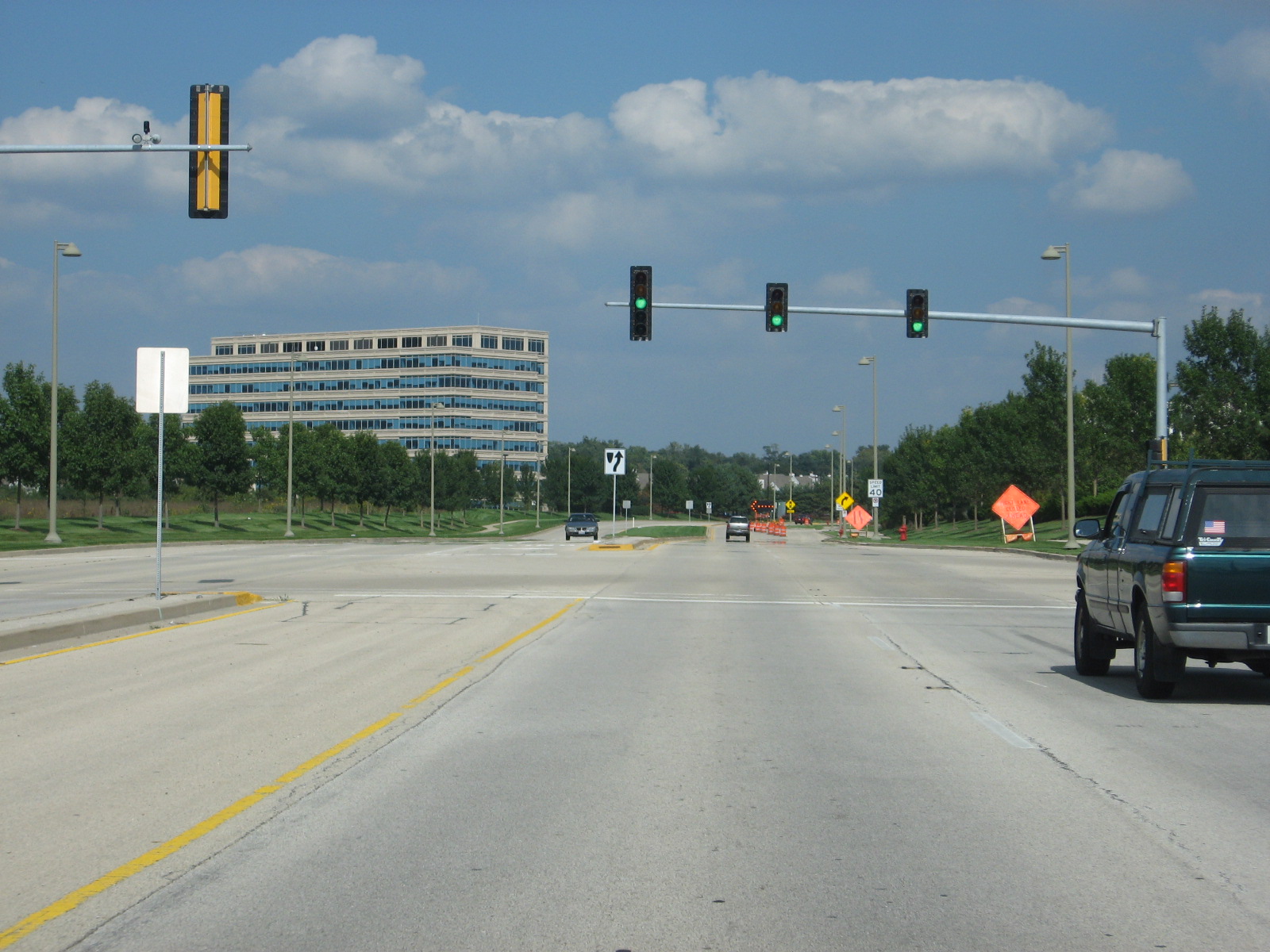 This
stoplight is for the business-people at the commercial developments.
This
stoplight is for the business-people at the commercial developments. Now
just north of Ferry Road on Winfield Road.
Now
just north of Ferry Road on Winfield Road.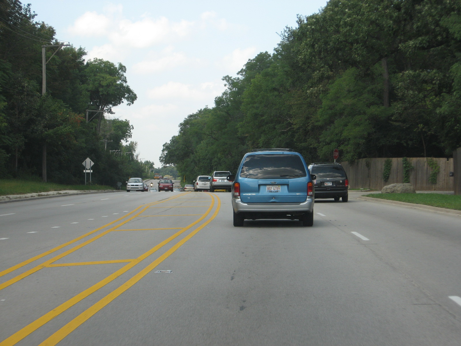 This
is what northbound Winfield Road looks like north of Butterfield Rd.
This
is what northbound Winfield Road looks like north of Butterfield Rd. Approaching
Mack Road.
Approaching
Mack Road.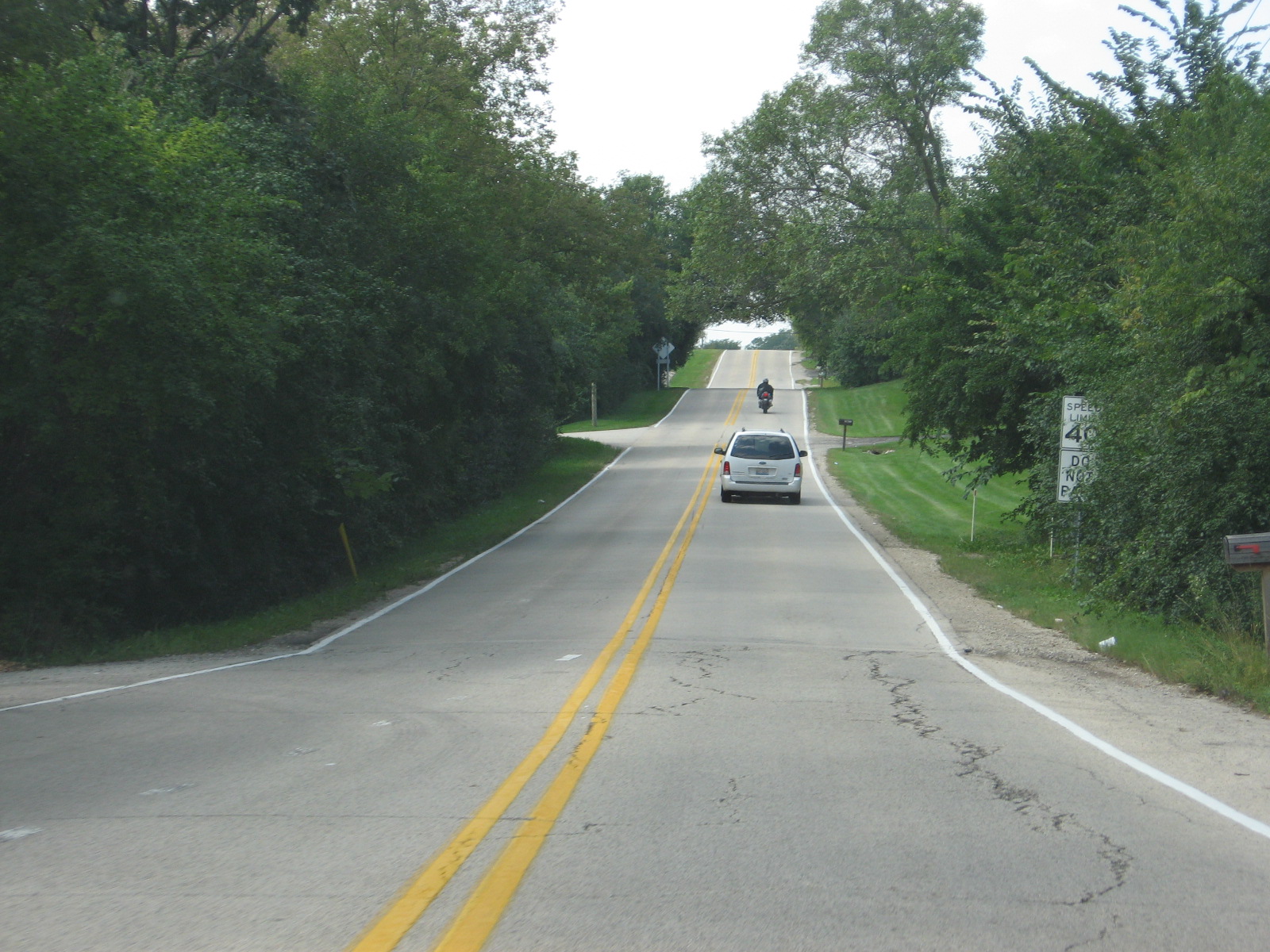 This
is Purnell Road, a really pretty drive for about 1.5 miles. It goes
through my old neighborhood.
This
is Purnell Road, a really pretty drive for about 1.5 miles. It goes
through my old neighborhood.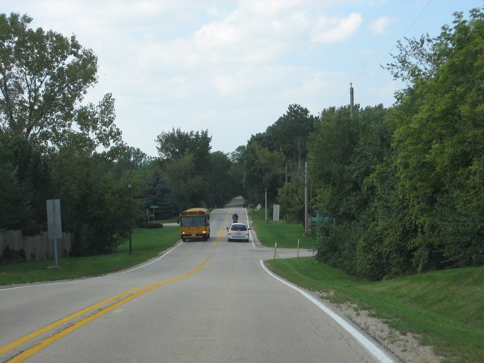 Take
the next left to get to my old house.
Take
the next left to get to my old house. The
very first road sign photograph I ever took was of this sign. The
original is not on this web site, but here is a tribute to it. The
road I used to live on.
The
very first road sign photograph I ever took was of this sign. The
original is not on this web site, but here is a tribute to it. The
road I used to live on.