Ferry Road
The purpose of these pictures is to show the progress of Ferry
Road in Naperville, as it is widened from rural 2-lane (without even center
stripes) to a 4-lane commercial parkway west of Route 59. All top pics were taken
in May 2004. The bottom pics are of December 2004 and in
blue, courtesy of my roadtrip compadre Margot.
Thanks very much!!
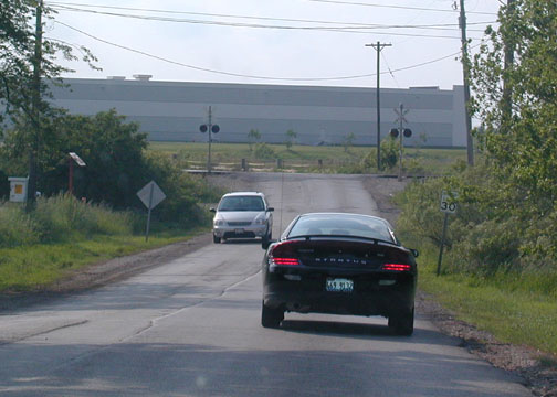
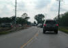
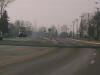
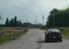
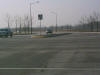
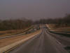
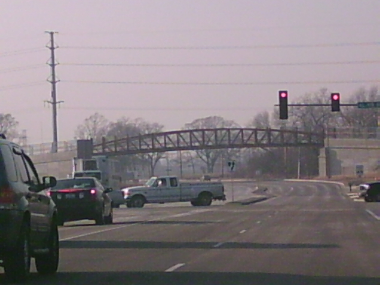
 Here
it is just west of IL 59 in May. Here
it is just west of IL 59 in May.
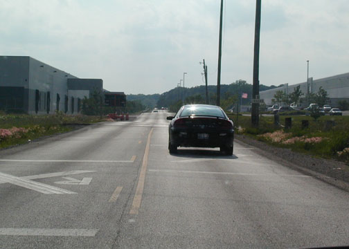
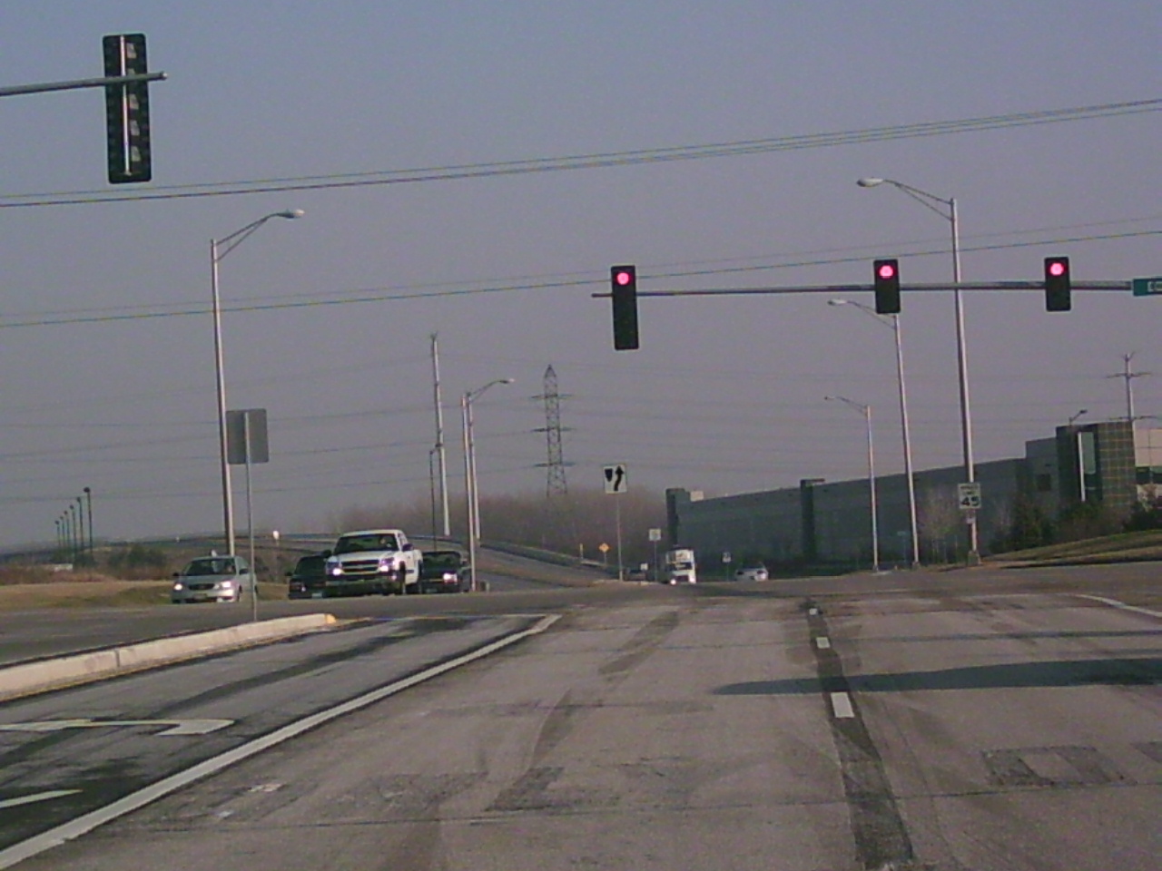
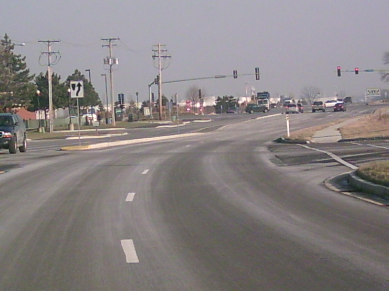
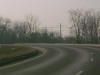
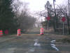
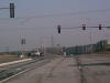
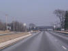
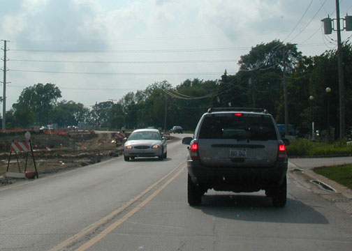
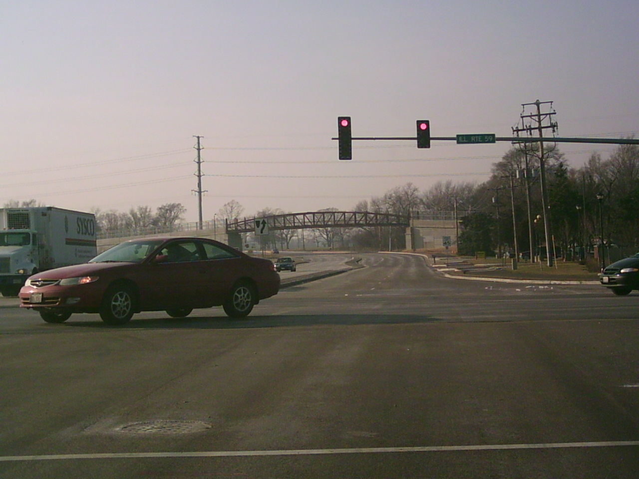
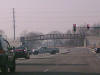 And
here is the intersection with Route 59 in December. And
here is the intersection with Route 59 in December. |
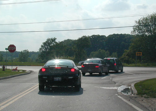
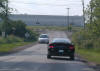
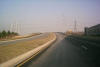
 All
these cars are turning off to the CarMax or Odyssey Fun World, located at
the corner of IL 59 and I-88 (East-West Tollway or Reagan Memorial Tollway)
in May. All
these cars are turning off to the CarMax or Odyssey Fun World, located at
the corner of IL 59 and I-88 (East-West Tollway or Reagan Memorial Tollway)
in May.
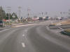
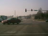 Closer
view of Ferry and Route 59 in December. Closer
view of Ferry and Route 59 in December. |
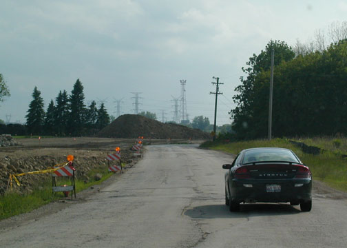
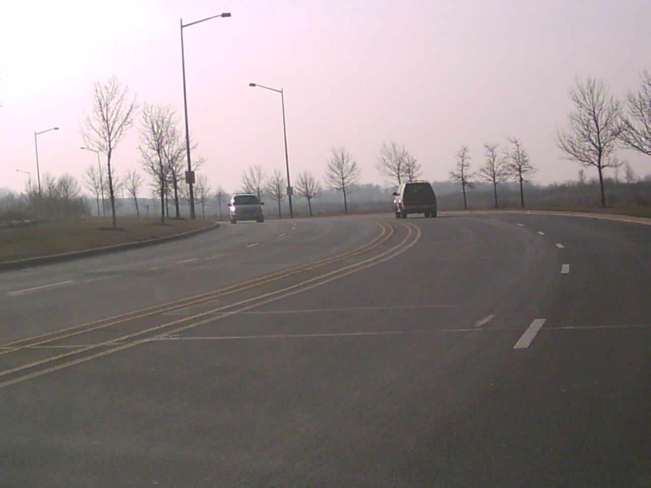
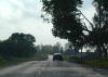
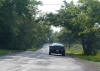
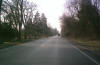
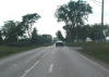 Just
west of the last picture, this one shows that work has barely even started
on this stretch of road. This is pretty much how the road looked
before construction started. Just
west of the last picture, this one shows that work has barely even started
on this stretch of road. This is pretty much how the road looked
before construction started.
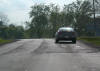
 Same
view seven months later. Same
view seven months later. |
 You
can clearly see the lack of development along this corridor, although I'm
sure that will change in the near future. Farmland country, this here
is. You
can clearly see the lack of development along this corridor, although I'm
sure that will change in the near future. Farmland country, this here
is.
 Same
view again seven months later. Same
view again seven months later. |
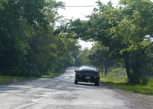
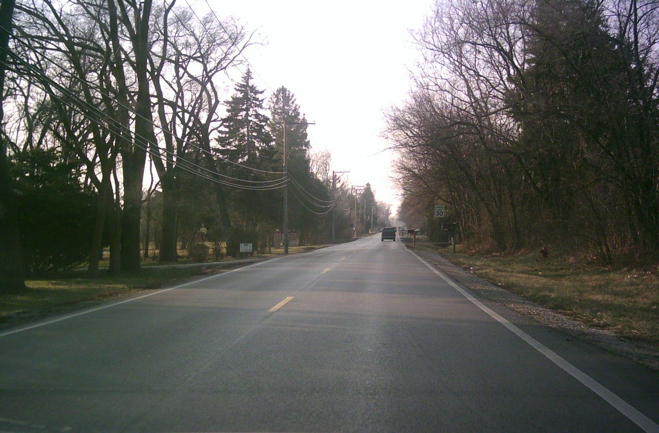
 Ah,
the center stripes have disappeared and Ferry Rd. becomes a truly rural
road! It was very rough and narrow, surrounded by cornfields, and part
of this section of road is being completely bypassed by the new version
completely. Ah,
the center stripes have disappeared and Ferry Rd. becomes a truly rural
road! It was very rough and narrow, surrounded by cornfields, and part
of this section of road is being completely bypassed by the new version
completely.
 Bypassed
by this stretch over the railroad tracks. Bypassed
by this stretch over the railroad tracks. |
 Signs
of construction have reappeared as the road continues to curve westward. Signs
of construction have reappeared as the road continues to curve westward.
No new picture. |
 You
don't see construction here because this is the part that is being bypassed.
This section had the most dangerous curves and extremely rough road.
Like, I mean potholes the size of Montana. You
don't see construction here because this is the part that is being bypassed.
This section had the most dangerous curves and extremely rough road.
Like, I mean potholes the size of Montana.
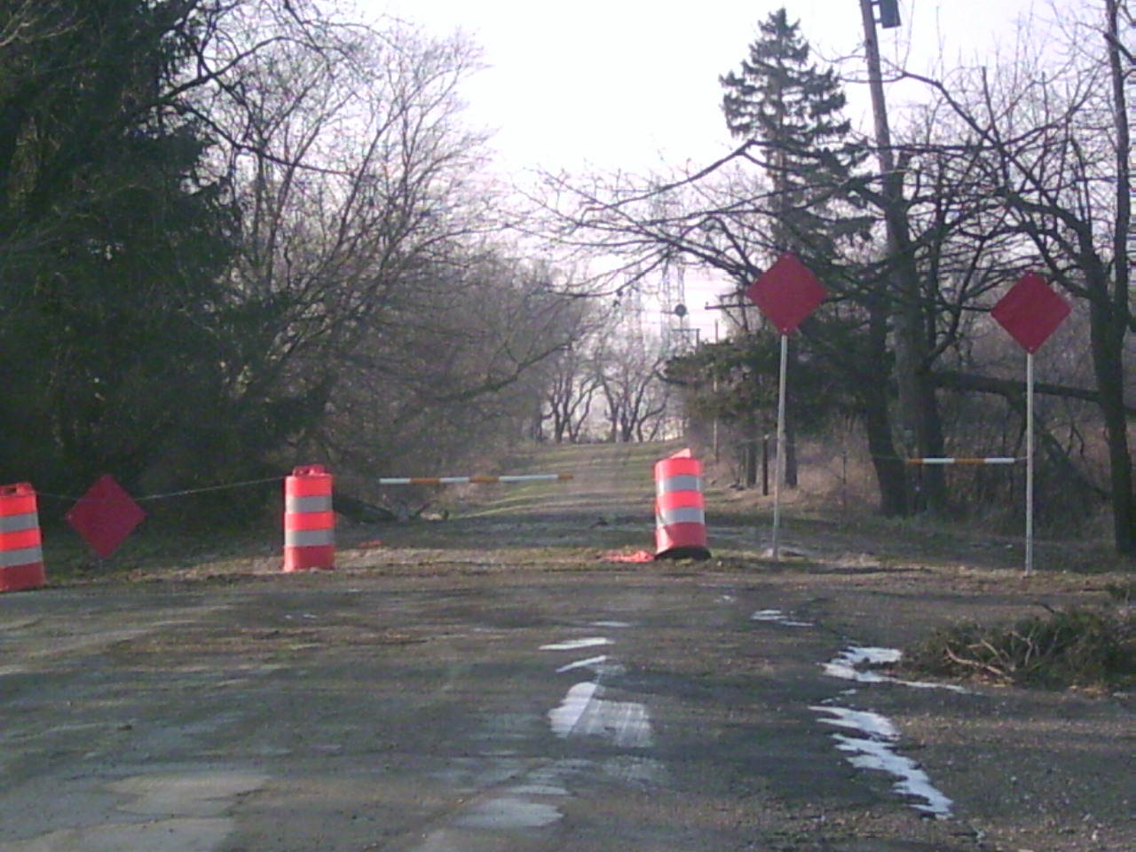
 Sadly,
they closed off the old road so that you can't even drive on it. Looks
like it will be overgrown with weeds in the spring. Sadly,
they closed off the old road so that you can't even drive on it. Looks
like it will be overgrown with weeds in the spring. |
 Oh
yeah, I forgot to mention the menacing railroad crossing with the 3 foot
drop. At least that's how it felt to go over it even at 20 mph. Oh
yeah, I forgot to mention the menacing railroad crossing with the 3 foot
drop. At least that's how it felt to go over it even at 20 mph. |
New pics only:
 A
view of Bilter Rd. WB. A
view of Bilter Rd. WB. |
 Keepin'
on keepin' on on Bilter. Keepin'
on keepin' on on Bilter. |
 At
the Kane County line, Bilter reduces to 2-lanes. At
the Kane County line, Bilter reduces to 2-lanes. |
 Looking
back east at the Eola/Ferry intersection from Bilter. Looking
back east at the Eola/Ferry intersection from Bilter. |
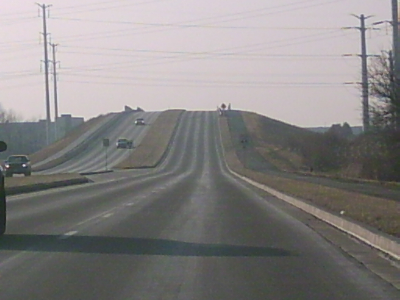
 I
like the lighting in this picture of Ferry Road climbing the hill over the
railroad tracks EB. I
like the lighting in this picture of Ferry Road climbing the hill over the
railroad tracks EB. |
 Descending
the hill. Descending
the hill. |
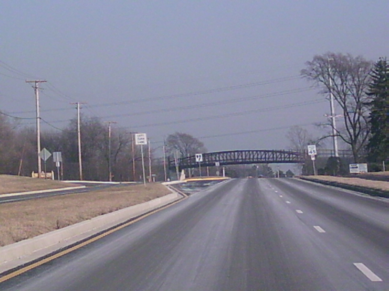
 Looking
east, west of IL 59. The bridge you see is the Prairie Path. Looking
east, west of IL 59. The bridge you see is the Prairie Path. |
 And
here we are back at Route 59 looking east this time. And
here we are back at Route 59 looking east this time. |
In the late 1990s, Ferry was extended from its end at
River Rd. in Warrenville (where it made a 90 degree turn northwards) to
Warrenville Rd. and Mill Street in Naperville. It was also widened
throughout and commercial activity sprouted up. This is part of the Cantera development project, which has been very successful for Warrenville.
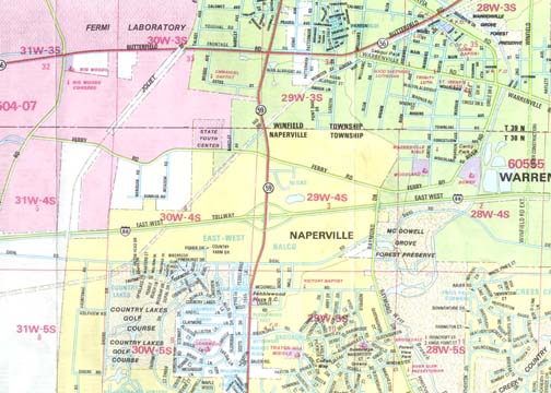
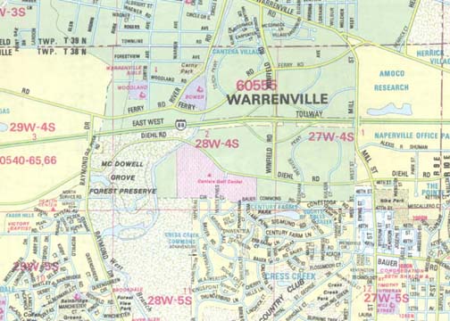
On the left is a map from 1992 and on the right, from 1999. You can see
how Ferry and Winfield Roads have both grown. The maps were both from Rand
McNally.
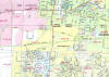
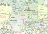
On the left map, the N-S red highway on the left is IL 59, the central
expressway is I-88 (E-W Tollway) and Ferry Road is the yellow road just north of
I-88. To the far right of the left map, you can see how Ferry Rd. curved
into River Rd. and how Winfield Rd. was proposed to be extended to just past
I-88. The right map shows Ferry Road's extension to Warrenville Rd. and Mill St.
Again, the expressway is I-88 and Ferry is just north of that. Winfield
Rd. is complete, too.
Back to
Chicagoland Page
 Here
it is just west of IL 59 in May.
Here
it is just west of IL 59 in May.
 And
here is the intersection with Route 59 in December.
And
here is the intersection with Route 59 in December.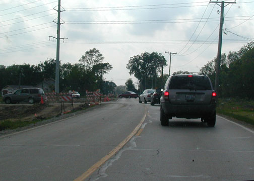 All
these cars are turning off to the CarMax or Odyssey Fun World, located at
the corner of IL 59 and I-88 (East-West Tollway or Reagan Memorial Tollway)
in May.
All
these cars are turning off to the CarMax or Odyssey Fun World, located at
the corner of IL 59 and I-88 (East-West Tollway or Reagan Memorial Tollway)
in May.
 Closer
view of Ferry and Route 59 in December.
Closer
view of Ferry and Route 59 in December. Just
west of the last picture, this one shows that work has barely even started
on this stretch of road. This is pretty much how the road looked
before construction started.
Just
west of the last picture, this one shows that work has barely even started
on this stretch of road. This is pretty much how the road looked
before construction started.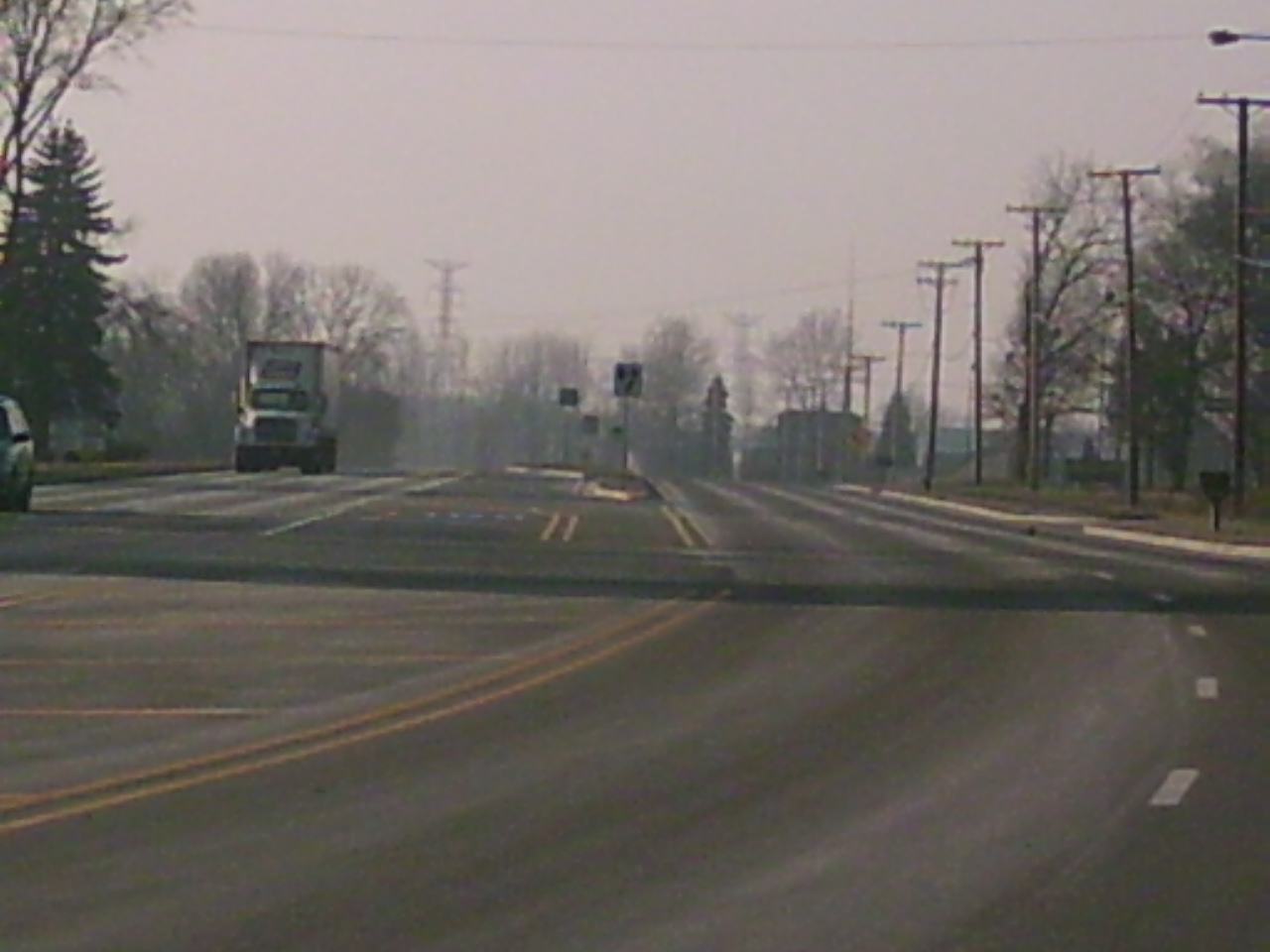 Same
view seven months later.
Same
view seven months later.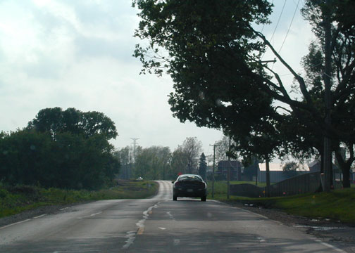 You
can clearly see the lack of development along this corridor, although I'm
sure that will change in the near future. Farmland country, this here
is.
You
can clearly see the lack of development along this corridor, although I'm
sure that will change in the near future. Farmland country, this here
is. Same
view again seven months later.
Same
view again seven months later.