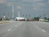
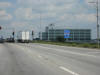
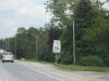
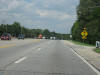
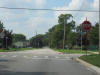
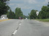
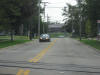
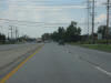
 Alright,
so we're gonna start here. This is NB IL 59 at Glacier Park Ave. in
Naperville/Aurora. Basically Route 59 straddles the boundary between
the two cities, which are among the largest in Illinois. Alright,
so we're gonna start here. This is NB IL 59 at Glacier Park Ave. in
Naperville/Aurora. Basically Route 59 straddles the boundary between
the two cities, which are among the largest in Illinois. |
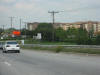
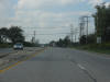
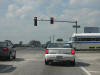
 At
North Aurora Road. North Aurora Road does not go to North Aurora,
although plans are to extend it westward into Indian Trail Rd. in Aurora.
But that's insignificant in the wide range of things on this web page. At
North Aurora Road. North Aurora Road does not go to North Aurora,
although plans are to extend it westward into Indian Trail Rd. in Aurora.
But that's insignificant in the wide range of things on this web page. |
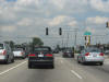
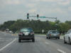
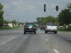
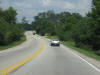
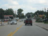
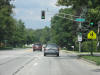
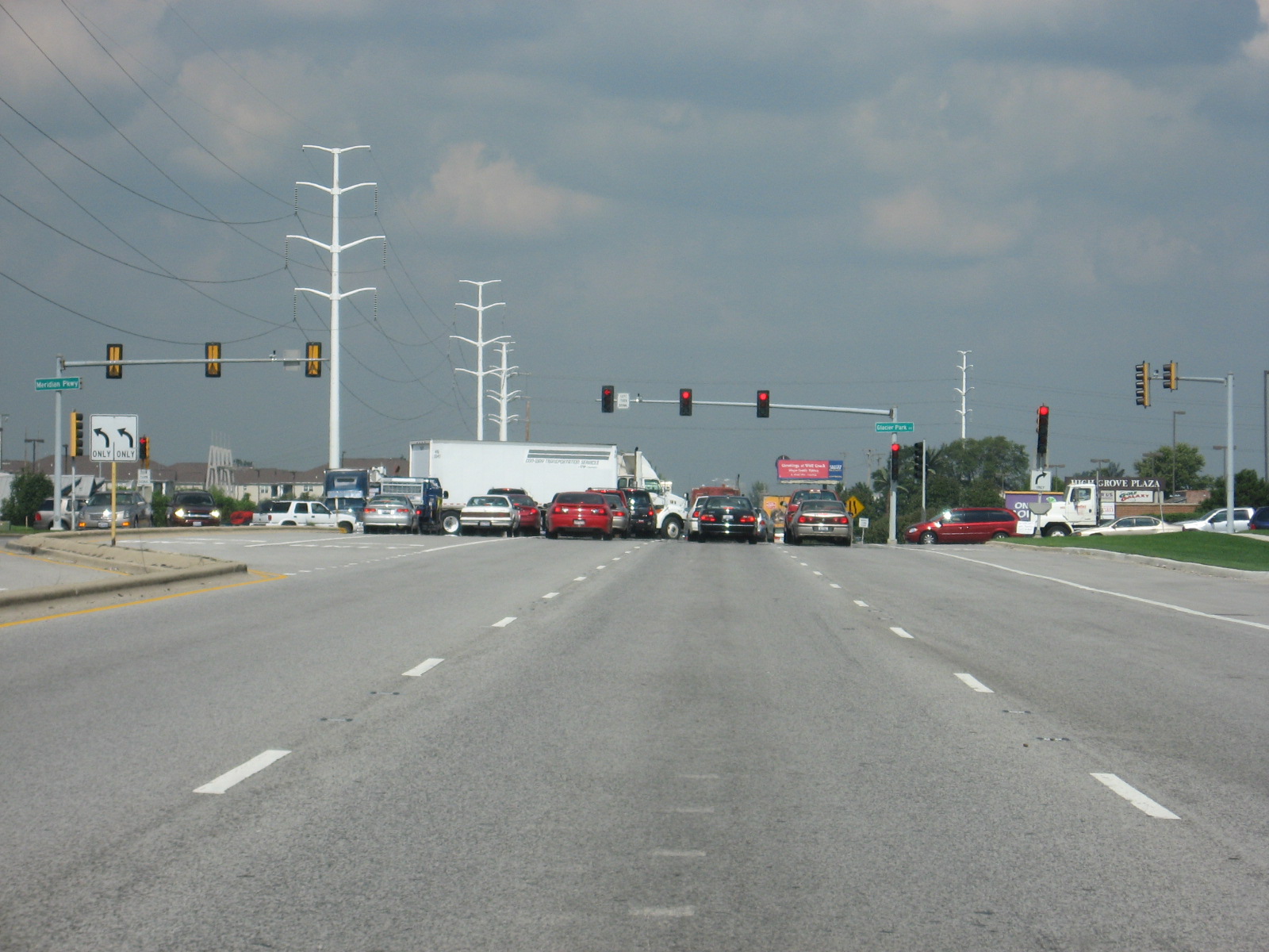
 Look
at all the blasted traffic on Route 59 NB. Look
at all the blasted traffic on Route 59 NB. |
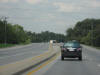
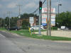
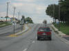
 At
Diehl Road, which is just south of the I-88 interchange. At
Diehl Road, which is just south of the I-88 interchange. |
 At
I-88 on NB IL 59. This interchange is being reconstructed sort of, so
it probably won't look like I remember it in a year or so. Or maybe
even now. At
I-88 on NB IL 59. This interchange is being reconstructed sort of, so
it probably won't look like I remember it in a year or so. Or maybe
even now. |
 The
townhomes are new since 2004, but that shield's still there! The
townhomes are new since 2004, but that shield's still there! |
 Okay,
so normally I don't include EVERY SINGLE picture I take, especially boring
ones like this one, but it just brings back so many good road memories.
Plus, Route 59 is my favorite road, as it is the road I basically grew up
on. Okay,
so normally I don't include EVERY SINGLE picture I take, especially boring
ones like this one, but it just brings back so many good road memories.
Plus, Route 59 is my favorite road, as it is the road I basically grew up
on. |
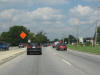
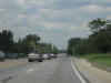
 Between
Ferry Road and Butterfield Road. Between
Ferry Road and Butterfield Road. |
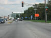
 Butterfield
Road is IL 56. Butterfield
Road is IL 56. |
 This
is at the Summerlakes subdivision, where I lived in my first and second
years. My old Dairy Queen is on the right. This
is at the Summerlakes subdivision, where I lived in my first and second
years. My old Dairy Queen is on the right. |
 That
Family Foods... *sniff*... That
Family Foods... *sniff*... |
 Approaching
Mack Road. Approaching
Mack Road. |
 Route
59 curves rather sharply ahead, just where Joliet Street starts. Way
back in the 1930s, Joliet Street was a part of the road that is now IL 59.
It ran from West Chicago to Plainfield and was called "West Chicago-Joliet
Road." I think. I don't have my 1932 map with me at college.
Correct me if I'm wrong. Route
59 curves rather sharply ahead, just where Joliet Street starts. Way
back in the 1930s, Joliet Street was a part of the road that is now IL 59.
It ran from West Chicago to Plainfield and was called "West Chicago-Joliet
Road." I think. I don't have my 1932 map with me at college.
Correct me if I'm wrong. |
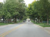
 This
is the south end of Joliet Street, which has a 40 m.p.h. limit until
Roosevelt Rd. This
is the south end of Joliet Street, which has a 40 m.p.h. limit until
Roosevelt Rd. |
 Now
we're near the north end of Joliet Street, with a 25 m.p.h. neighborhood
limit. Now
we're near the north end of Joliet Street, with a 25 m.p.h. neighborhood
limit. |
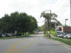 This
is Ann Street (facing west) along West Chicago Community High School.
I'm an alum, of course. This
is Ann Street (facing west) along West Chicago Community High School.
I'm an alum, of course. |
 This
four-way stop is new, and probably very helpful for school days. It
was nearly impossible to make a left off of Wood Street onto Ann Street at
3:15 to 3:45 when school let out. This
four-way stop is new, and probably very helpful for school days. It
was nearly impossible to make a left off of Wood Street onto Ann Street at
3:15 to 3:45 when school let out. |
 This
is Main Street West Chicago. The picture is not really representative
of the street as a whole, but this is what Main St. looks like near Route
59. This
is Main Street West Chicago. The picture is not really representative
of the street as a whole, but this is what Main St. looks like near Route
59. |
 Route
59 through part of West Chicago is 35 m.p.h. It is called Neltnor
Blvd. throughout the city. Route
59 through part of West Chicago is 35 m.p.h. It is called Neltnor
Blvd. throughout the city. |
 The
new Methodist Church is almost done. Last time I was here, there was a
lot of gravel. Since the photo was taken, the 1st UMC of West Chicago
has moved in. The
new Methodist Church is almost done. Last time I was here, there was a
lot of gravel. Since the photo was taken, the 1st UMC of West Chicago
has moved in. |
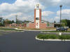
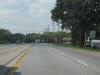
 Back
to 45 m.p.h. north of Washington Street. Back
to 45 m.p.h. north of Washington Street. |
 A
stoplight at James Avenue exists, but I really don't know why. A
stoplight at James Avenue exists, but I really don't know why. |
 This
is Washington Street WB in downtown West Chicago. It looks pretty
barren, but this part of downtown is kinda quieter than on Main Street, of
which I failed to get a decent shot. This
is Washington Street WB in downtown West Chicago. It looks pretty
barren, but this part of downtown is kinda quieter than on Main Street, of
which I failed to get a decent shot. |
 This
is the shot I got of Main Street downtown. This
is the shot I got of Main Street downtown. |
 This
is SB Wood Street, which ends at Washington Street northbound and goes by
the high school past Ann Street (remember that 4-way stop?). This
is SB Wood Street, which ends at Washington Street northbound and goes by
the high school past Ann Street (remember that 4-way stop?). |
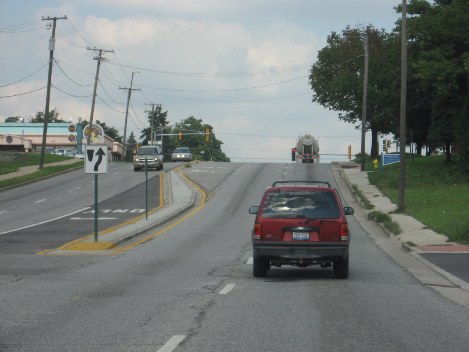
 Now
we're on the south end of town on Roosevelt Rd, or IL 38, westbound.
The bowling alley is on the right just ahead. Now
we're on the south end of town on Roosevelt Rd, or IL 38, westbound.
The bowling alley is on the right just ahead. |
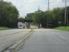 It
goes under the Elgin, Joliet, and Eastern railroad tracks. It
goes under the Elgin, Joliet, and Eastern railroad tracks. |
 This
is where the 55 m.p.h. section used to begin on this divided portion of
Route 38, but shamefully, IDOT has extended the 45 zone about 1/2 mile. This
is where the 55 m.p.h. section used to begin on this divided portion of
Route 38, but shamefully, IDOT has extended the 45 zone about 1/2 mile. |
 Ah,
that's better. Ah,
that's better. |
 That's
the same Washington Street we were on before. Just on the very western
fringes of town. It continues to the left as Fabyan Parkway. I
learned recently that Fabyan was built to appease residents of Batavia in
the 1960s, when Fermilab
(just south of this photo) told them Wilson Street, Batavia's old main route
to the east, would be closed to traffic. That's
the same Washington Street we were on before. Just on the very western
fringes of town. It continues to the left as Fabyan Parkway. I
learned recently that Fabyan was built to appease residents of Batavia in
the 1960s, when Fermilab
(just south of this photo) told them Wilson Street, Batavia's old main route
to the east, would be closed to traffic. |
 Alright,
so we're gonna start here. This is NB IL 59 at Glacier Park Ave. in
Naperville/Aurora. Basically Route 59 straddles the boundary between
the two cities, which are among the largest in Illinois.
Alright,
so we're gonna start here. This is NB IL 59 at Glacier Park Ave. in
Naperville/Aurora. Basically Route 59 straddles the boundary between
the two cities, which are among the largest in Illinois. At
North Aurora Road. North Aurora Road does not go to North Aurora,
although plans are to extend it westward into Indian Trail Rd. in Aurora.
But that's insignificant in the wide range of things on this web page.
At
North Aurora Road. North Aurora Road does not go to North Aurora,
although plans are to extend it westward into Indian Trail Rd. in Aurora.
But that's insignificant in the wide range of things on this web page.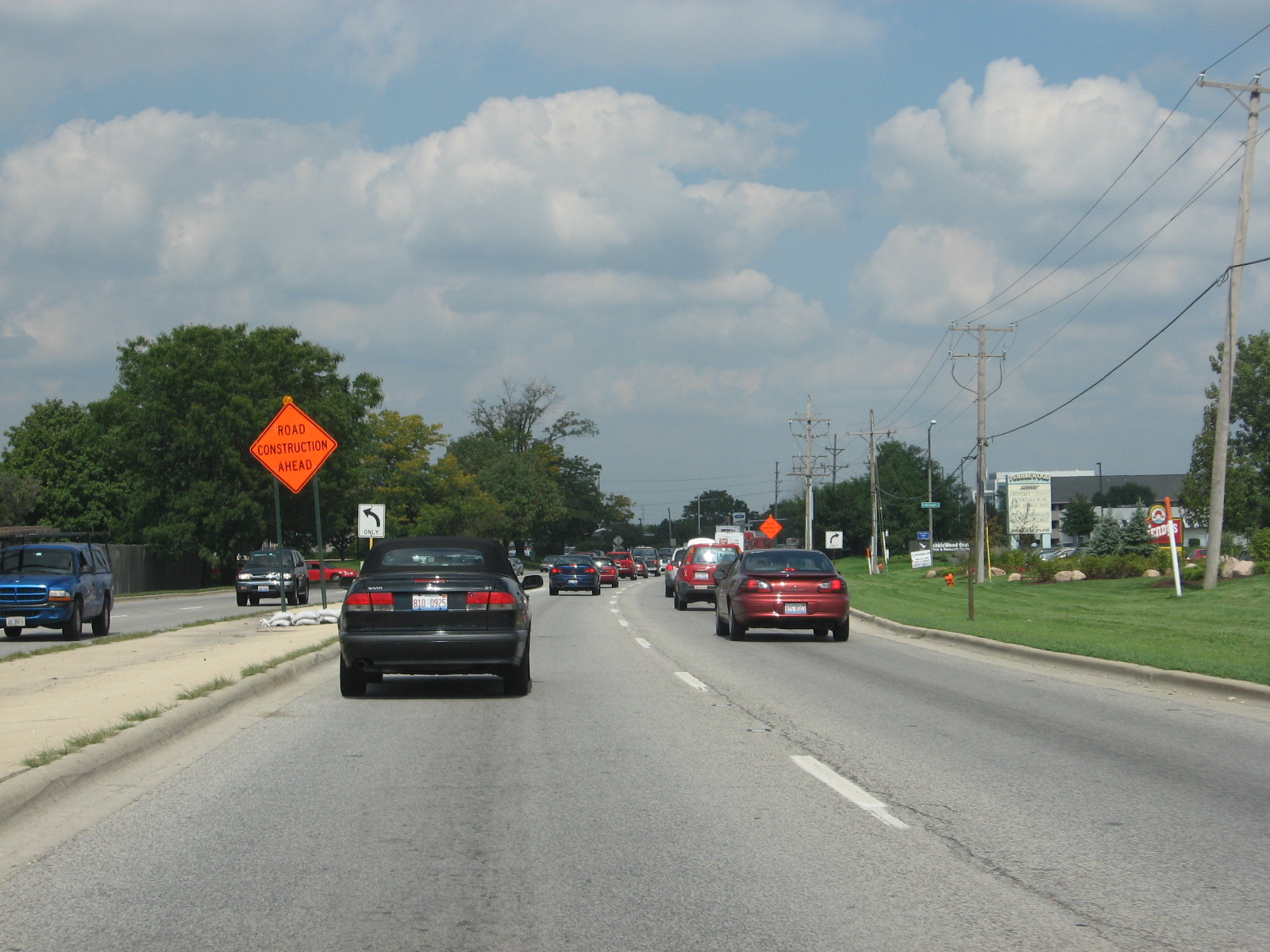 Look
at all the blasted traffic on Route 59 NB.
Look
at all the blasted traffic on Route 59 NB. At
Diehl Road, which is just south of the I-88 interchange.
At
Diehl Road, which is just south of the I-88 interchange. At
I-88 on NB IL 59. This interchange is being reconstructed sort of, so
it probably won't look like I remember it in a year or so. Or maybe
even now.
At
I-88 on NB IL 59. This interchange is being reconstructed sort of, so
it probably won't look like I remember it in a year or so. Or maybe
even now. The
townhomes are new since 2004, but that shield's still there!
The
townhomes are new since 2004, but that shield's still there!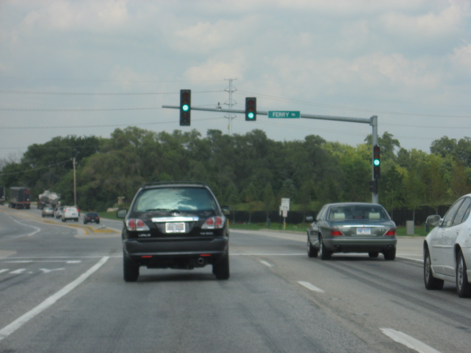 Okay,
so normally I don't include EVERY SINGLE picture I take, especially boring
ones like this one, but it just brings back so many good road memories.
Plus, Route 59 is my favorite road, as it is the road I basically grew up
on.
Okay,
so normally I don't include EVERY SINGLE picture I take, especially boring
ones like this one, but it just brings back so many good road memories.
Plus, Route 59 is my favorite road, as it is the road I basically grew up
on.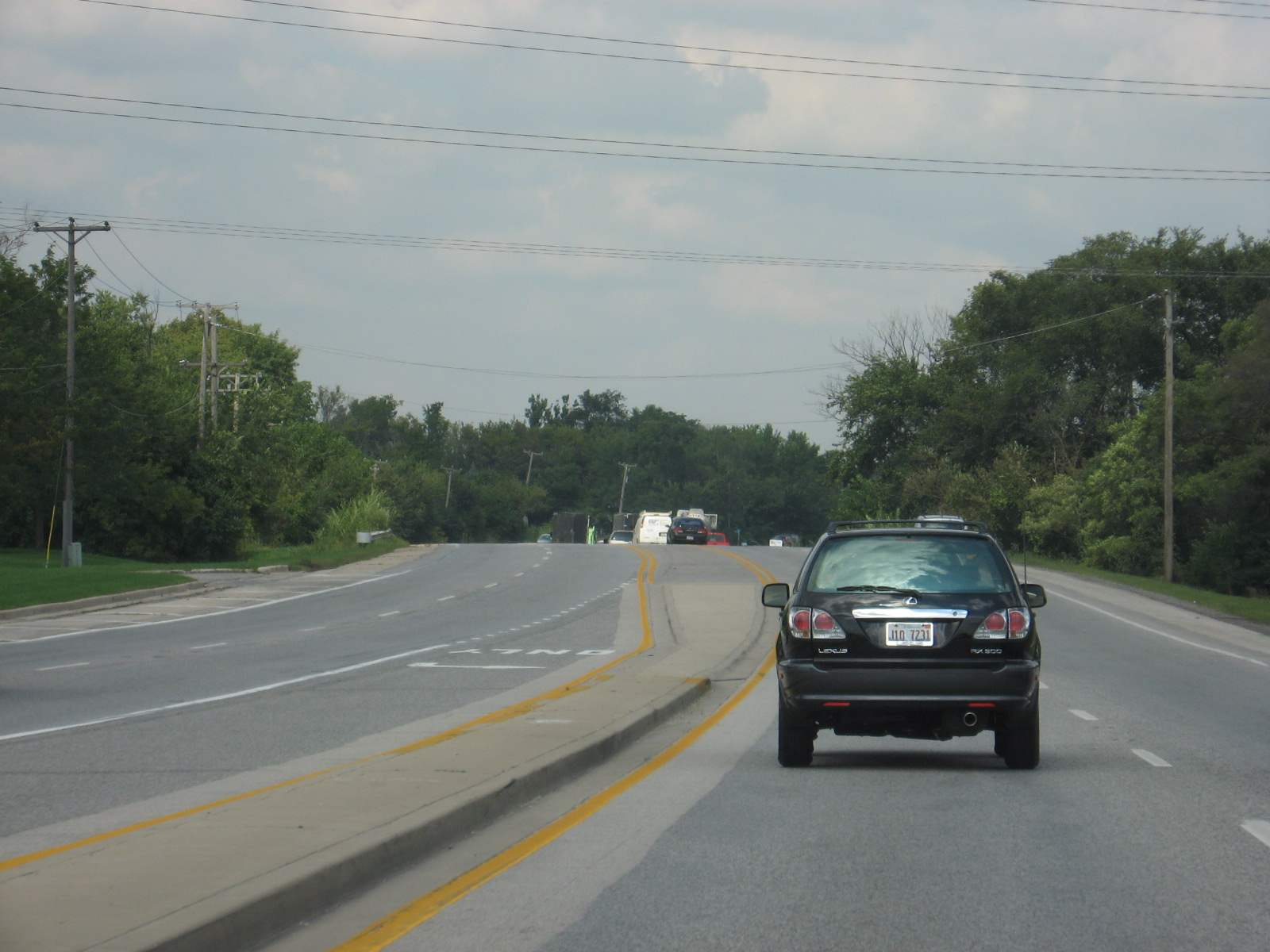 Between
Ferry Road and Butterfield Road.
Between
Ferry Road and Butterfield Road.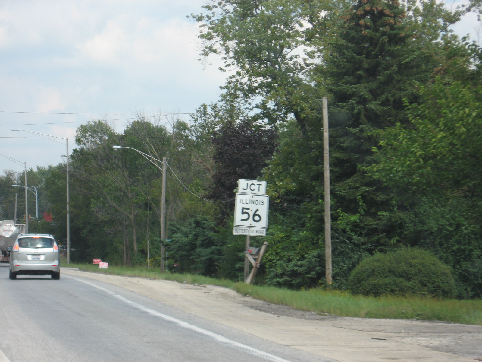 Butterfield
Road is IL 56.
Butterfield
Road is IL 56.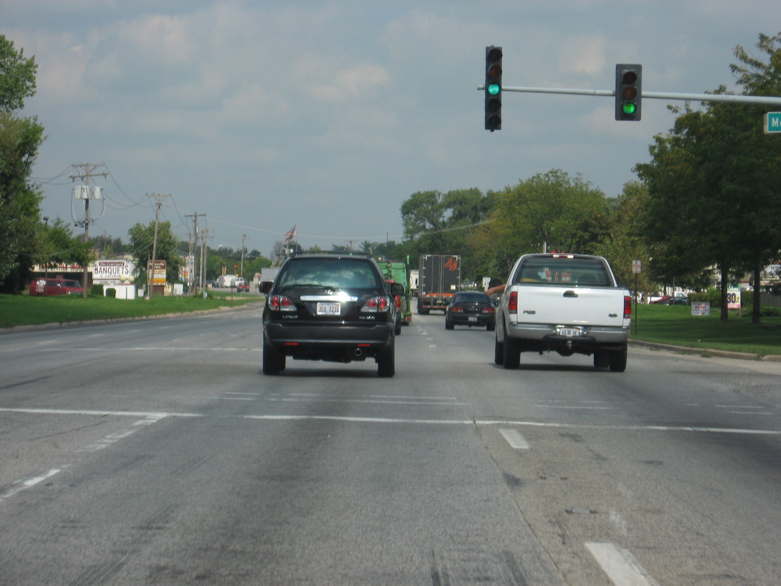 This
is at the Summerlakes subdivision, where I lived in my first and second
years. My old Dairy Queen is on the right.
This
is at the Summerlakes subdivision, where I lived in my first and second
years. My old Dairy Queen is on the right.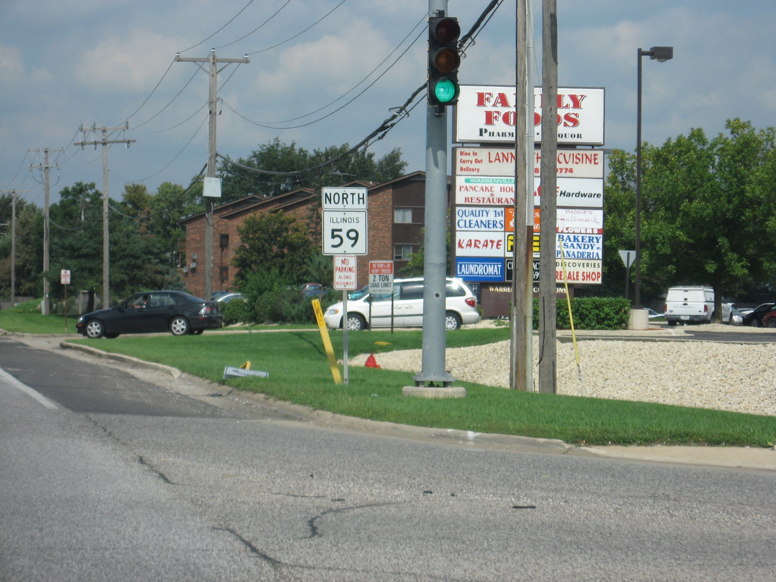 That
Family Foods... *sniff*...
That
Family Foods... *sniff*... 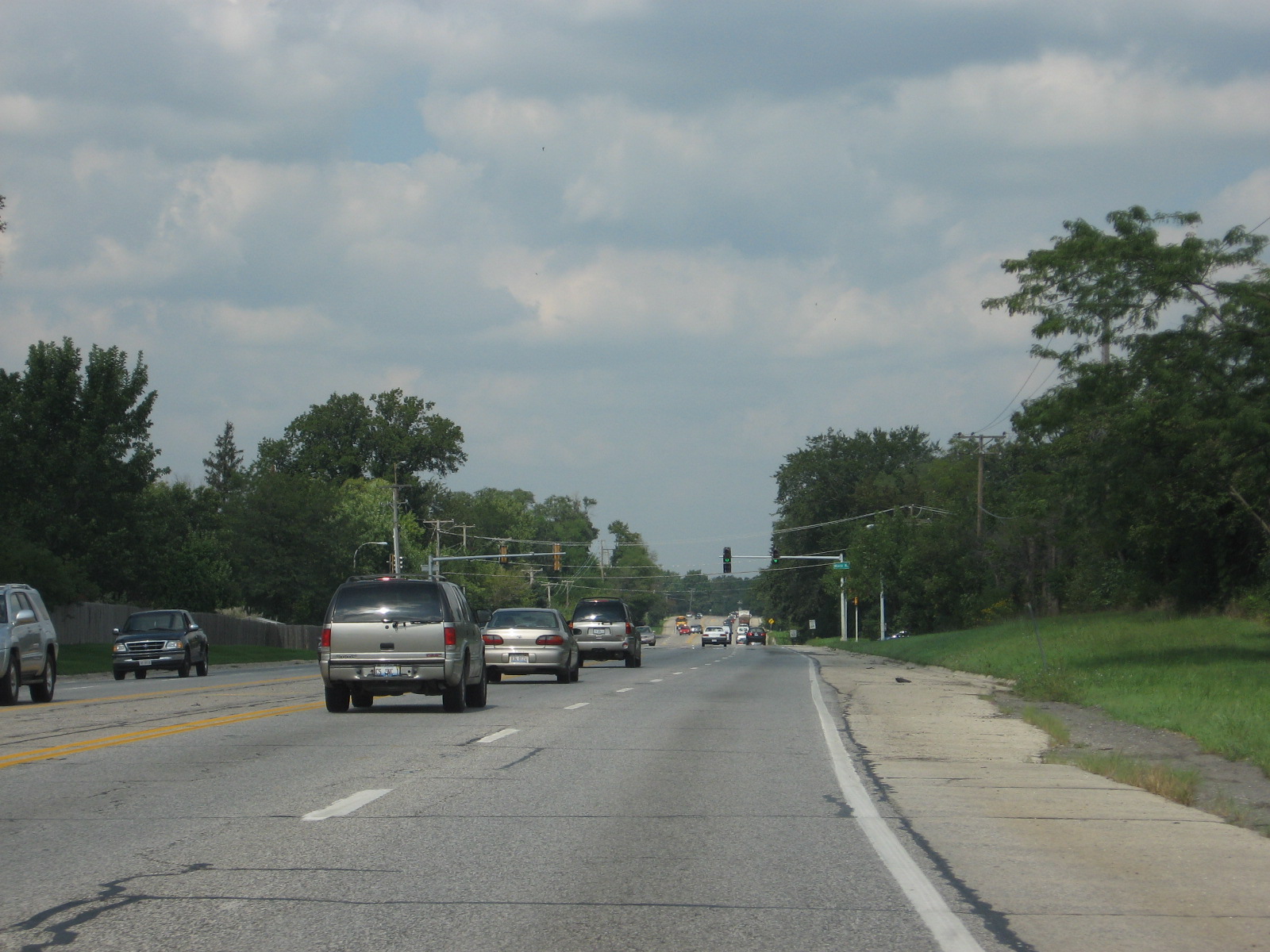 Approaching
Mack Road.
Approaching
Mack Road.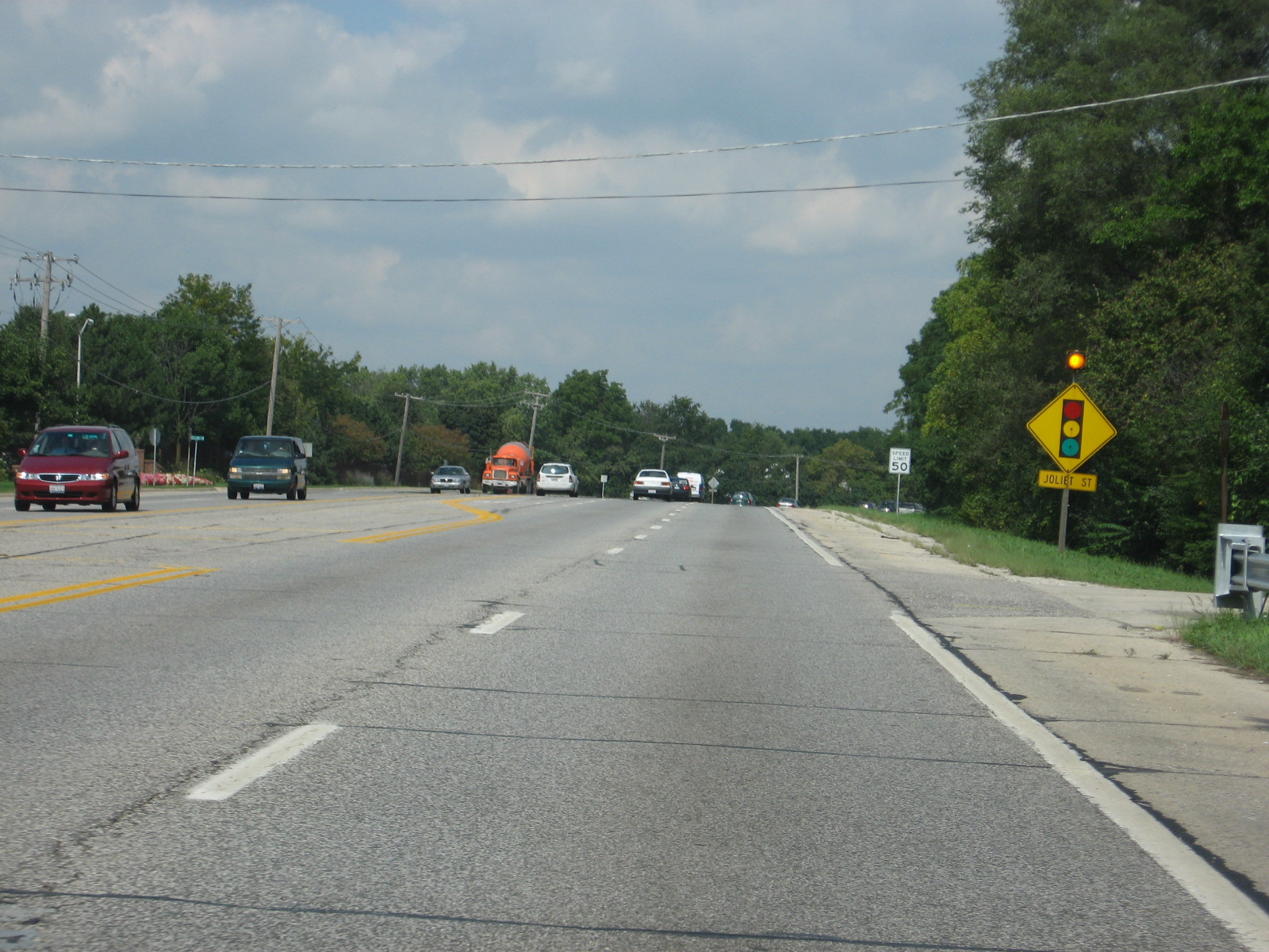 Route
59 curves rather sharply ahead, just where Joliet Street starts. Way
back in the 1930s, Joliet Street was a part of the road that is now IL 59.
It ran from West Chicago to Plainfield and was called "West Chicago-Joliet
Road." I think. I don't have my 1932 map with me at college.
Correct me if I'm wrong.
Route
59 curves rather sharply ahead, just where Joliet Street starts. Way
back in the 1930s, Joliet Street was a part of the road that is now IL 59.
It ran from West Chicago to Plainfield and was called "West Chicago-Joliet
Road." I think. I don't have my 1932 map with me at college.
Correct me if I'm wrong.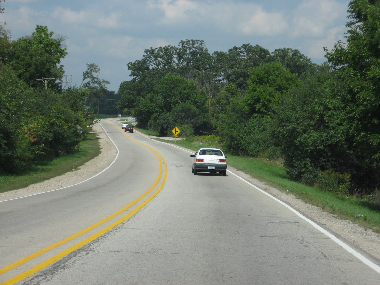 This
is the south end of Joliet Street, which has a 40 m.p.h. limit until
Roosevelt Rd.
This
is the south end of Joliet Street, which has a 40 m.p.h. limit until
Roosevelt Rd.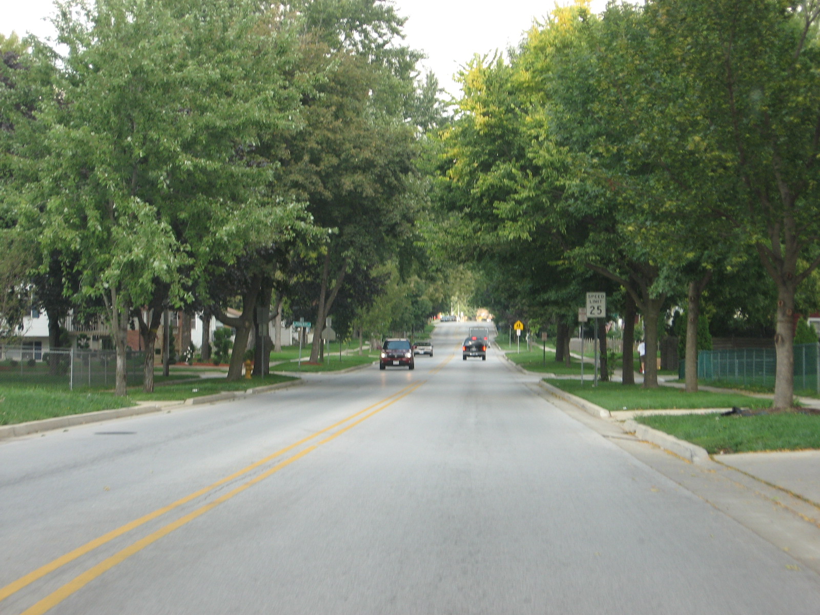 Now
we're near the north end of Joliet Street, with a 25 m.p.h. neighborhood
limit.
Now
we're near the north end of Joliet Street, with a 25 m.p.h. neighborhood
limit. This
is Ann Street (facing west) along West Chicago Community High School.
I'm an alum, of course.
This
is Ann Street (facing west) along West Chicago Community High School.
I'm an alum, of course.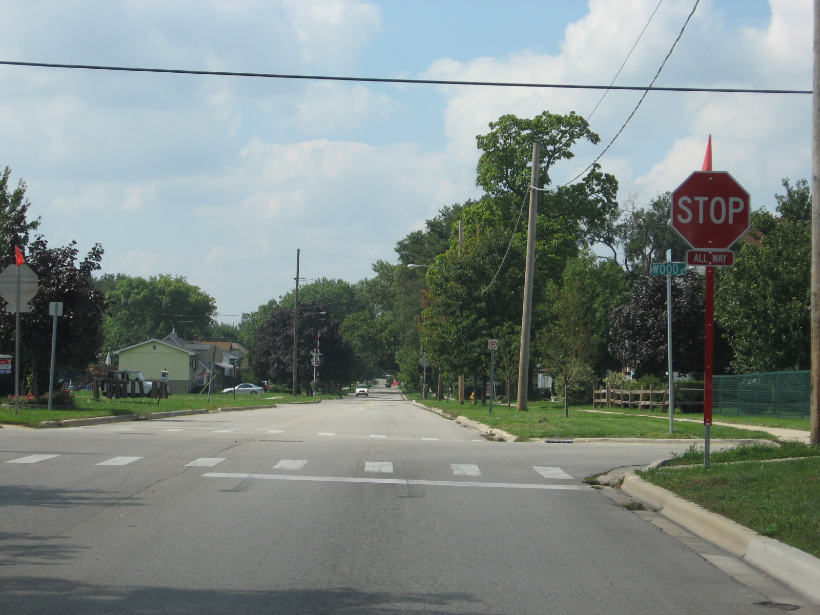 This
four-way stop is new, and probably very helpful for school days. It
was nearly impossible to make a left off of Wood Street onto Ann Street at
3:15 to 3:45 when school let out.
This
four-way stop is new, and probably very helpful for school days. It
was nearly impossible to make a left off of Wood Street onto Ann Street at
3:15 to 3:45 when school let out. This
is Main Street West Chicago. The picture is not really representative
of the street as a whole, but this is what Main St. looks like near Route
59.
This
is Main Street West Chicago. The picture is not really representative
of the street as a whole, but this is what Main St. looks like near Route
59. Route
59 through part of West Chicago is 35 m.p.h. It is called Neltnor
Blvd. throughout the city.
Route
59 through part of West Chicago is 35 m.p.h. It is called Neltnor
Blvd. throughout the city. 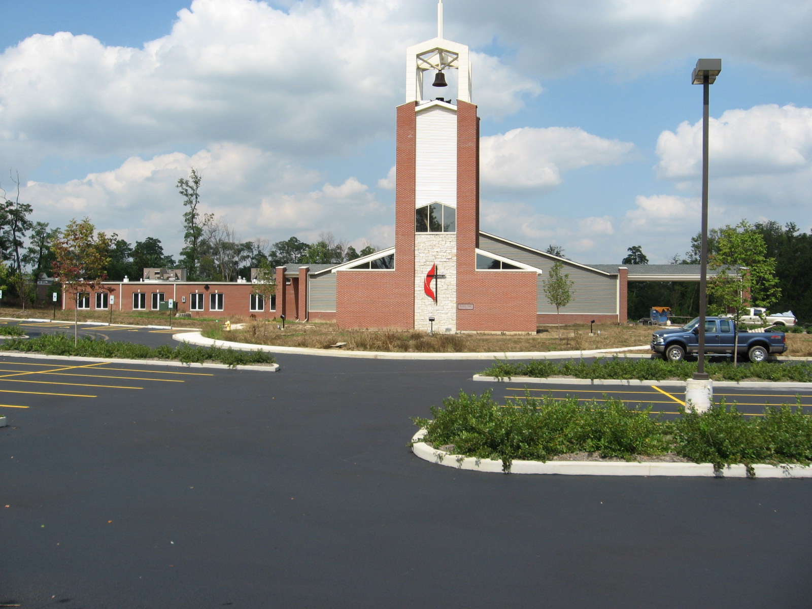 The
new Methodist Church is almost done. Last time I was here, there was a
lot of gravel. Since the photo was taken, the 1st UMC of West Chicago
has moved in.
The
new Methodist Church is almost done. Last time I was here, there was a
lot of gravel. Since the photo was taken, the 1st UMC of West Chicago
has moved in.  Back
to 45 m.p.h. north of Washington Street.
Back
to 45 m.p.h. north of Washington Street. A
stoplight at James Avenue exists, but I really don't know why.
A
stoplight at James Avenue exists, but I really don't know why.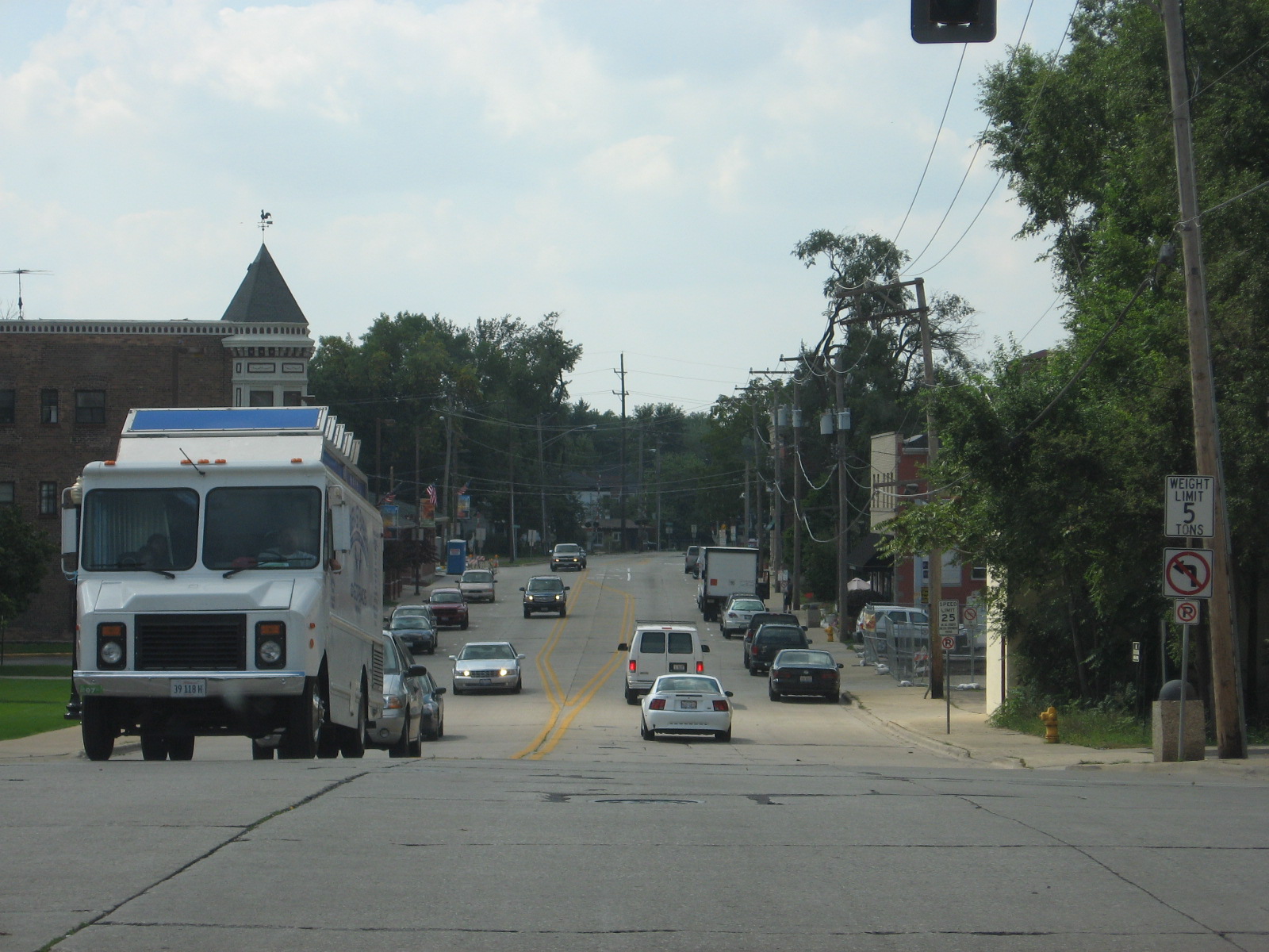 This
is Washington Street WB in downtown West Chicago. It looks pretty
barren, but this part of downtown is kinda quieter than on Main Street, of
which I failed to get a decent shot.
This
is Washington Street WB in downtown West Chicago. It looks pretty
barren, but this part of downtown is kinda quieter than on Main Street, of
which I failed to get a decent shot. This
is the shot I got of Main Street downtown.
This
is the shot I got of Main Street downtown.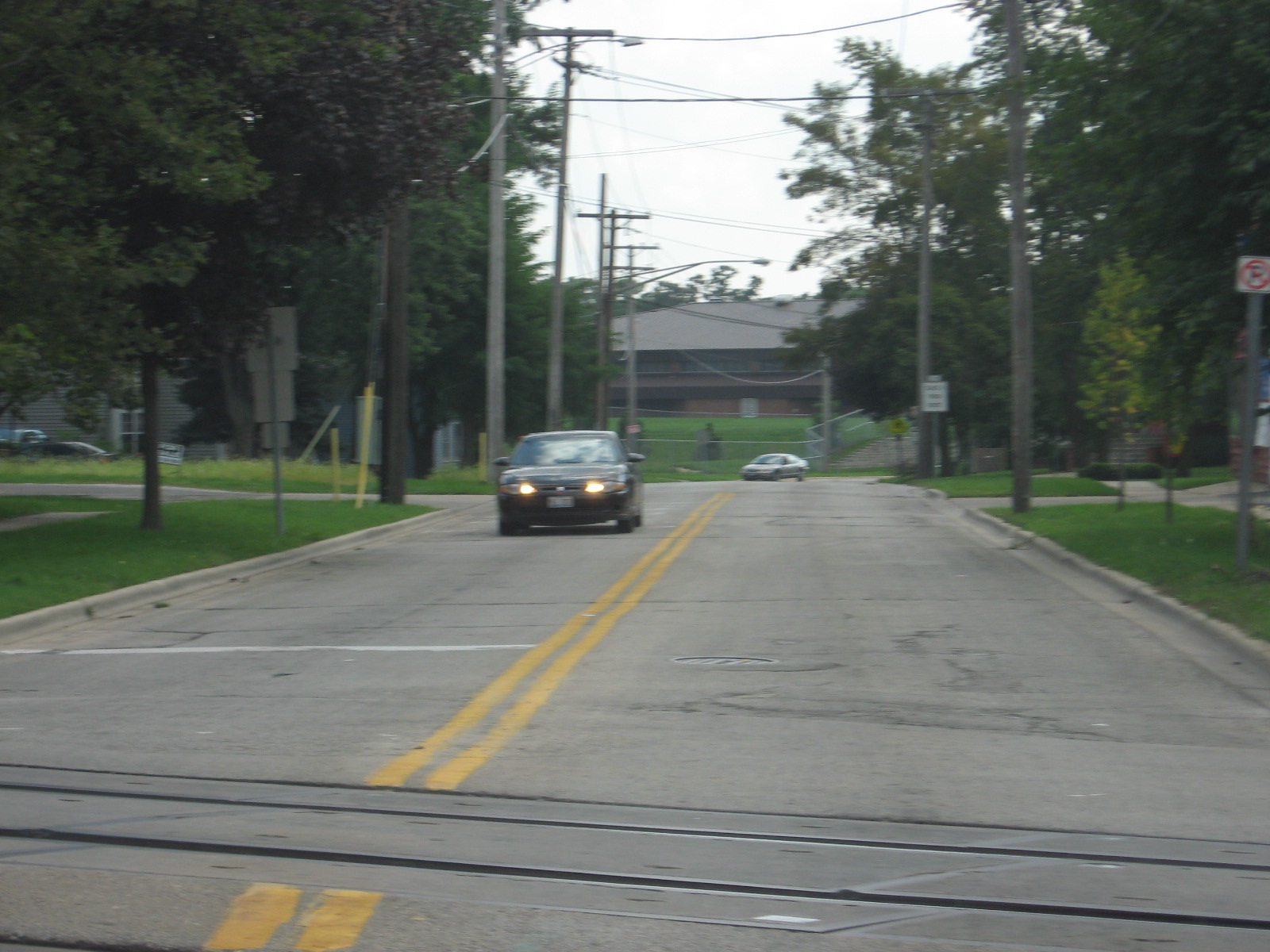 This
is SB Wood Street, which ends at Washington Street northbound and goes by
the high school past Ann Street (remember that 4-way stop?).
This
is SB Wood Street, which ends at Washington Street northbound and goes by
the high school past Ann Street (remember that 4-way stop?). Now
we're on the south end of town on Roosevelt Rd, or IL 38, westbound.
The bowling alley is on the right just ahead.
Now
we're on the south end of town on Roosevelt Rd, or IL 38, westbound.
The bowling alley is on the right just ahead.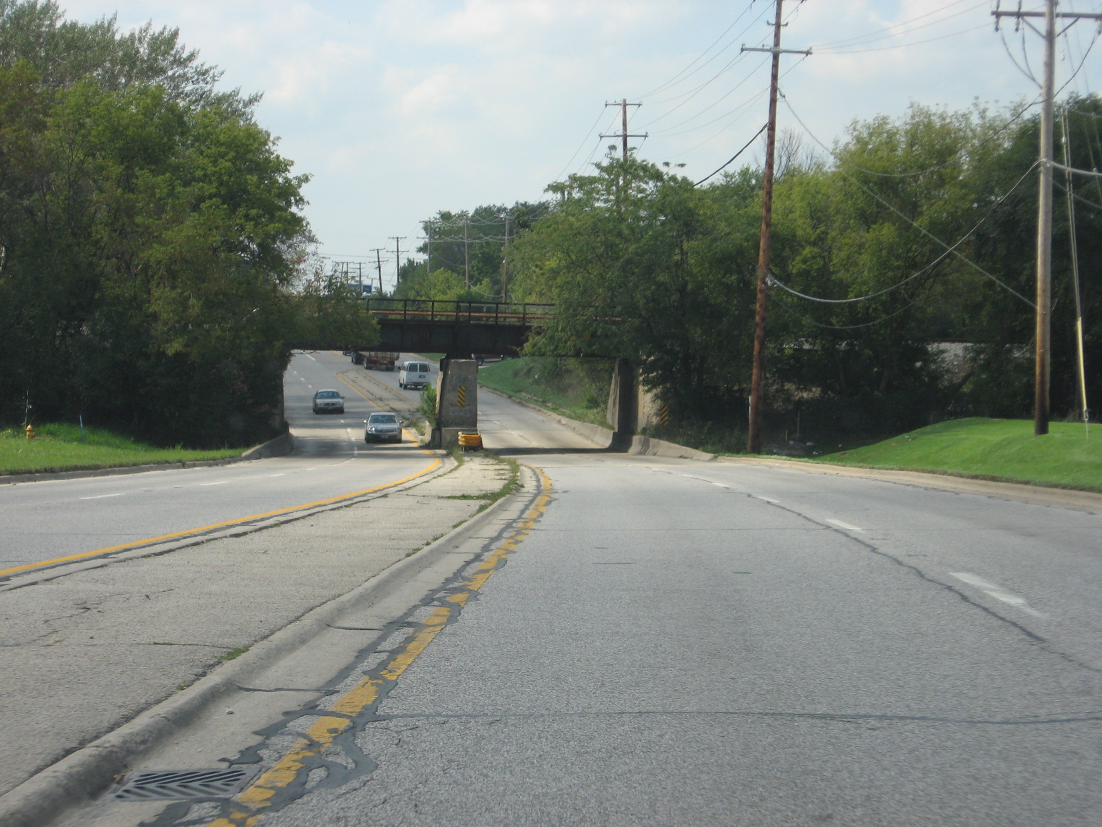 It
goes under the Elgin, Joliet, and Eastern railroad tracks.
It
goes under the Elgin, Joliet, and Eastern railroad tracks.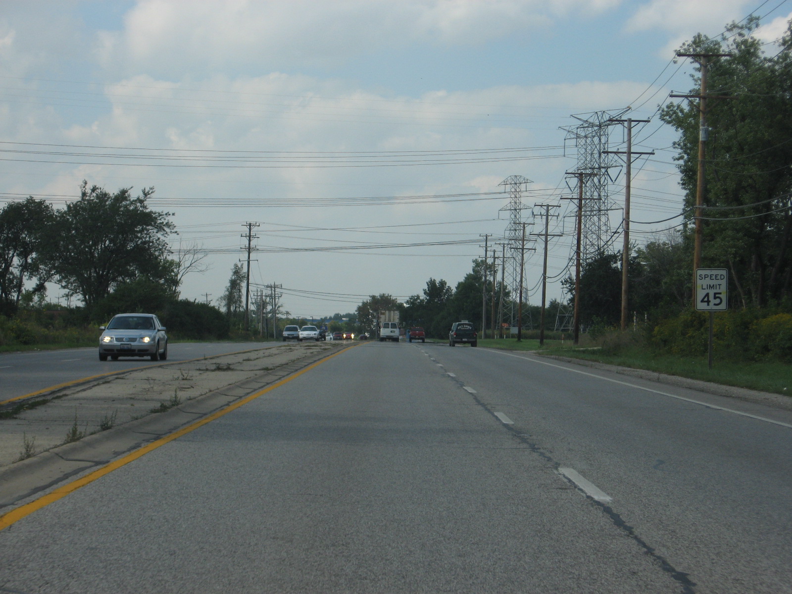 This
is where the 55 m.p.h. section used to begin on this divided portion of
Route 38, but shamefully, IDOT has extended the 45 zone about 1/2 mile.
This
is where the 55 m.p.h. section used to begin on this divided portion of
Route 38, but shamefully, IDOT has extended the 45 zone about 1/2 mile. Ah,
that's better.
Ah,
that's better.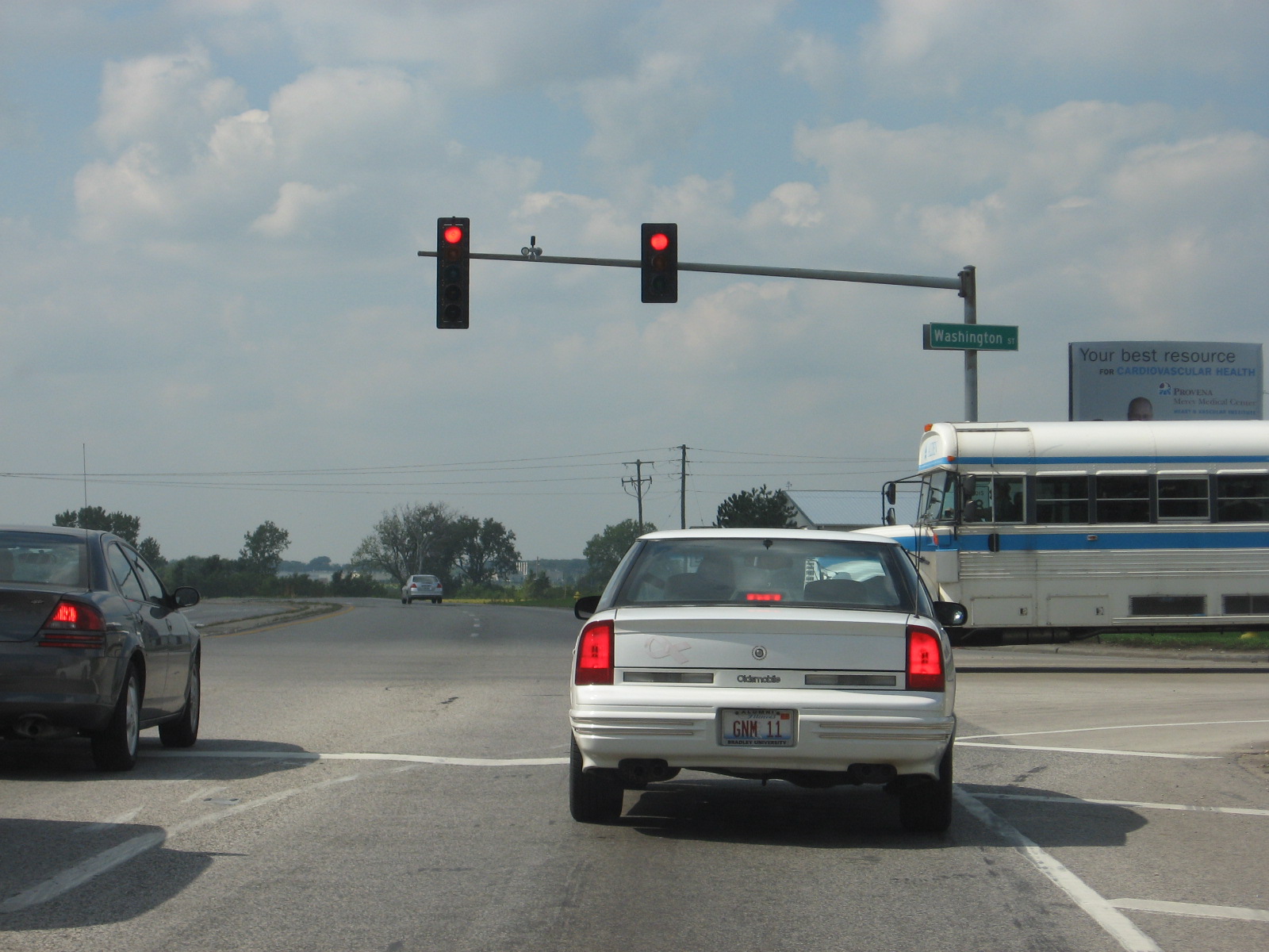 That's
the same Washington Street we were on before. Just on the very western
fringes of town. It continues to the left as Fabyan Parkway. I
learned recently that Fabyan was built to appease residents of Batavia in
the 1960s, when Fermilab
(just south of this photo) told them Wilson Street, Batavia's old main route
to the east, would be closed to traffic.
That's
the same Washington Street we were on before. Just on the very western
fringes of town. It continues to the left as Fabyan Parkway. I
learned recently that Fabyan was built to appease residents of Batavia in
the 1960s, when Fermilab
(just south of this photo) told them Wilson Street, Batavia's old main route
to the east, would be closed to traffic.