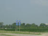
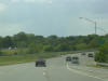
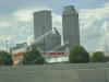
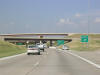
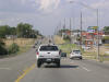
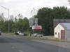
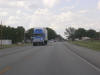
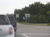
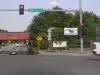
 I-40
WB with I-55 NB. This is on the Arkansas side of the Mississippi River
in the Memphis area. Both shields have the state name in them, woo hoo! I-40
WB with I-55 NB. This is on the Arkansas side of the Mississippi River
in the Memphis area. Both shields have the state name in them, woo hoo! |
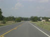
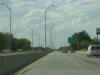
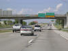
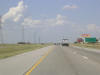
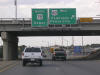
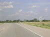
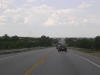
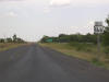
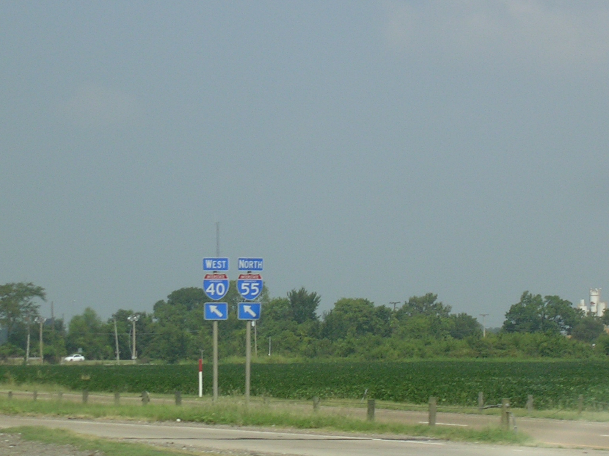
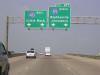 The
impending split of the interstates west of Memphis. The
impending split of the interstates west of Memphis. |
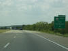
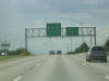
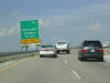
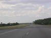
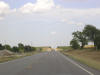
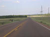
 Oh
boy the split! Oh
boy the split! |
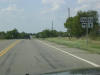
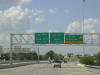
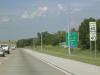
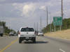
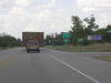
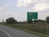
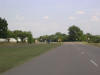
 Now
we're officially in Oklahoma on I-40 WB. This is the new-style state
shield. It was my first live glimpse of them, so this was a momentous
picture!! Anyway, this is basically what I-40 looks like through
eastern Oklahoma. Now
we're officially in Oklahoma on I-40 WB. This is the new-style state
shield. It was my first live glimpse of them, so this was a momentous
picture!! Anyway, this is basically what I-40 looks like through
eastern Oklahoma. |
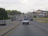
 Okay,
now we're in between Checotah and Council Hill on US 266 WB at the southern
terminus of OK 72. Before the signs were replaced, many of the OK 72
shields claimed it was US 72. Okay,
now we're in between Checotah and Council Hill on US 266 WB at the southern
terminus of OK 72. Before the signs were replaced, many of the OK 72
shields claimed it was US 72. |
 OK
72 northbound with US 62 (I think this might be near Boynton). OK
72 northbound with US 62 (I think this might be near Boynton). |
 This
is OK 72 NB and US 64 WB in Haskell. This
is OK 72 NB and US 64 WB in Haskell. |
 OK
104 ends here in Haskell. OK 72 is about to turn off to the north. OK
104 ends here in Haskell. OK 72 is about to turn off to the north. |
 And
there it goes! And
there it goes! |
 Fast
forward, and now we're on the Broken Arrow Expy. in Tulsa. Fast
forward, and now we're on the Broken Arrow Expy. in Tulsa. |
 Not
much of a left shoulder there, is it? Not
much of a left shoulder there, is it? |
 Oh
boy, we're approaching hidden I-444, which is really just US 75 for like 2
miles. Look on the 2007 Rand McNally Road Atlas for proof (if you
must). Oh
boy, we're approaching hidden I-444, which is really just US 75 for like 2
miles. Look on the 2007 Rand McNally Road Atlas for proof (if you
must). |
 This
interstate is not so hidden. This exit marks the end of the Broken
Arrow Expy. westbound. This
interstate is not so hidden. This exit marks the end of the Broken
Arrow Expy. westbound. |
 This
is just about the best shot I could get of the Tulsa skyline. This
is just about the best shot I could get of the Tulsa skyline. |
 On
the US 75 freeway north of town. This is also called the Cherokee Expy. On
the US 75 freeway north of town. This is also called the Cherokee Expy. |
 Approaching
the Gilcrease Expy. WB, which at this point is not yet OK 11. Approaching
the Gilcrease Expy. WB, which at this point is not yet OK 11. |
 Take
the Gilcrease Expy. (OK 11) East to the airport or the zoo. Take
the Gilcrease Expy. (OK 11) East to the airport or the zoo. |
 The
flyover interchange with OK 11. You can see the BGS in the background
that indicates OK 11 is a surface street to the west. The
flyover interchange with OK 11. You can see the BGS in the background
that indicates OK 11 is a surface street to the west. |
 Approaching
OK 20 near Skiatook. Approaching
OK 20 near Skiatook. |
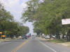
 Big
city life north of Tulsa. Big
city life north of Tulsa. |
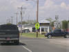
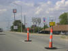 We've
hit Bartlesville, and some construction near US 60. We've
hit Bartlesville, and some construction near US 60. |
 This
is what the southern part of Bartlesville looks like on US 75 NB and US 60
WB. This
is what the southern part of Bartlesville looks like on US 75 NB and US 60
WB. |
 US
60 exits in half a mile. US
60 exits in half a mile. |
 US
75 keeps on going north to Kansas. US
75 keeps on going north to Kansas. |
 This
is what the northern part of Bartlesville looks like on US 75 NB. This
is what the northern part of Bartlesville looks like on US 75 NB. |
 Here's
OK 123. Here's
OK 123. |
 And
OK 10. And
OK 10. |
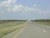
 Because
of the nothingness that surrounds US 75, the speed limit on this
non-limited-access road is 70 m.p.h. Because
of the nothingness that surrounds US 75, the speed limit on this
non-limited-access road is 70 m.p.h. |
 Whoa
mother, we've hit Kansas! Whoa
mother, we've hit Kansas! |
 So
sue me, this is not Oklahoma. I have a few pictures of Kansas, and
here is US 75 NB reduced to 2 lanes coming into Caney, KS. So
sue me, this is not Oklahoma. I have a few pictures of Kansas, and
here is US 75 NB reduced to 2 lanes coming into Caney, KS. |
 Getting
back into the country on US 75 NB. Getting
back into the country on US 75 NB. |
 But
not for long, because here is US 166 West, which I utilized to get a county. But
not for long, because here is US 166 West, which I utilized to get a county. |
 Alright,
time to turn around on US 166 WB. Alright,
time to turn around on US 166 WB. |
 Some
shields for y'all. Some
shields for y'all. |
 Some
hot resurfacing action on US 166 east of US 75. Some
hot resurfacing action on US 166 east of US 75. |
 US
166 parallels the OK-KS border, and looks a lot like this. US
166 parallels the OK-KS border, and looks a lot like this. |
 Some
old-school 4-lane action now. Some
old-school 4-lane action now. |
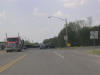
 Well,
after a snack at Braum's, we've made it to Coffeyville and US 169. Well,
after a snack at Braum's, we've made it to Coffeyville and US 169. |
 I-40
WB with I-55 NB. This is on the Arkansas side of the Mississippi River
in the Memphis area. Both shields have the state name in them, woo hoo!
I-40
WB with I-55 NB. This is on the Arkansas side of the Mississippi River
in the Memphis area. Both shields have the state name in them, woo hoo! The
impending split of the interstates west of Memphis.
The
impending split of the interstates west of Memphis.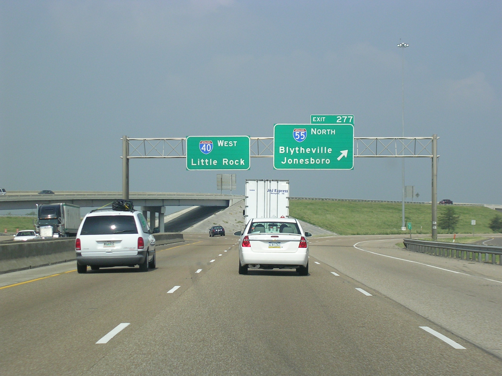 Oh
boy the split!
Oh
boy the split!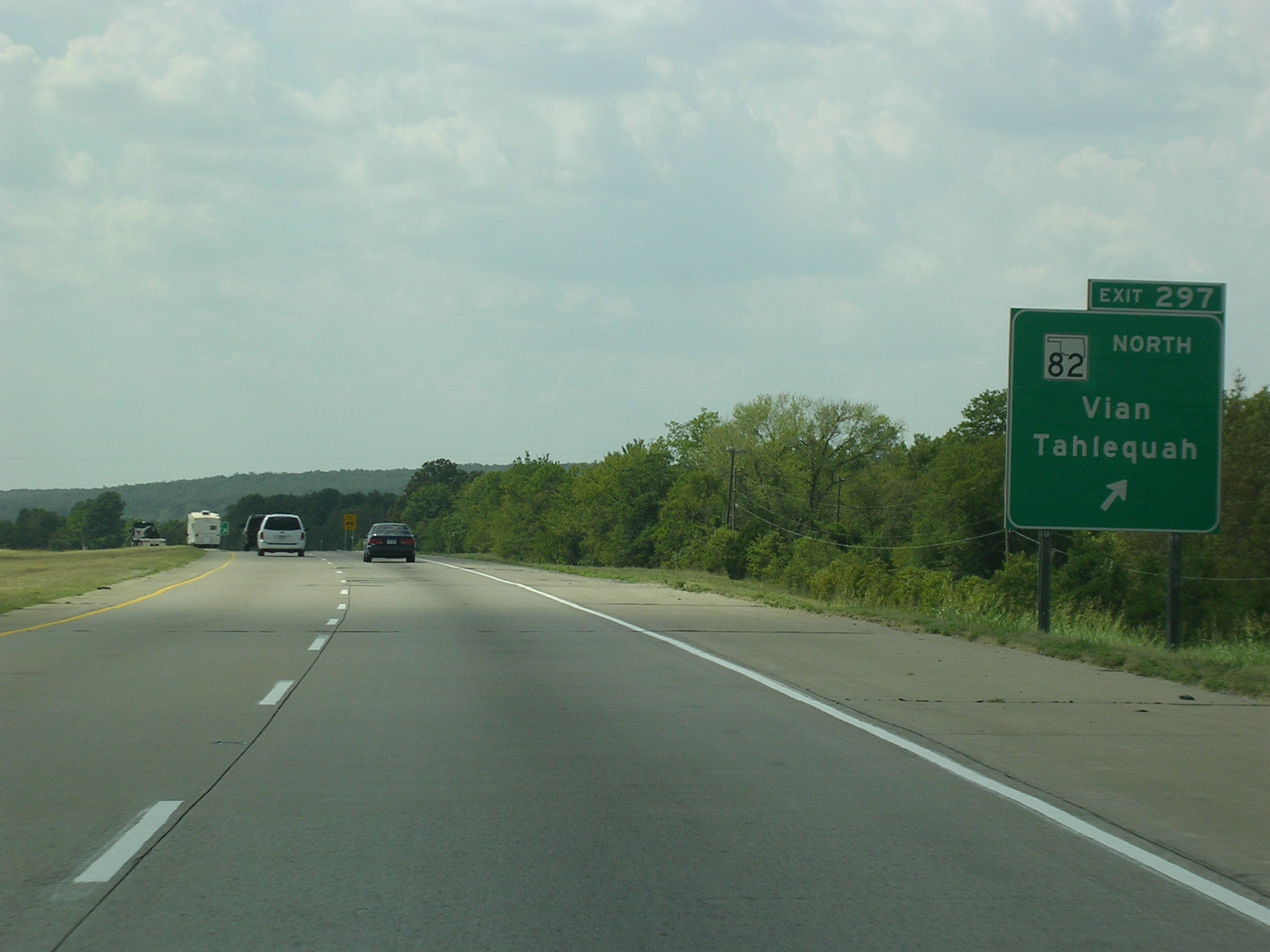 Now
we're officially in Oklahoma on I-40 WB. This is the new-style state
shield. It was my first live glimpse of them, so this was a momentous
picture!! Anyway, this is basically what I-40 looks like through
eastern Oklahoma.
Now
we're officially in Oklahoma on I-40 WB. This is the new-style state
shield. It was my first live glimpse of them, so this was a momentous
picture!! Anyway, this is basically what I-40 looks like through
eastern Oklahoma.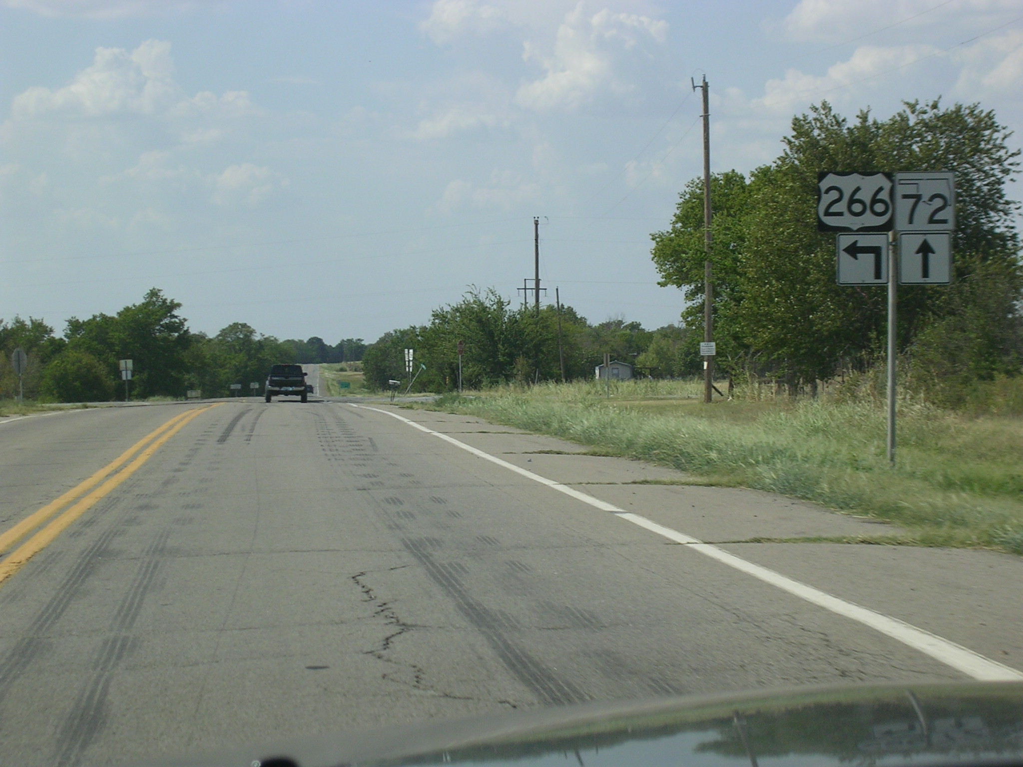 Okay,
now we're in between Checotah and Council Hill on US 266 WB at the southern
terminus of OK 72. Before the signs were replaced, many of the OK 72
shields claimed it was US 72.
Okay,
now we're in between Checotah and Council Hill on US 266 WB at the southern
terminus of OK 72. Before the signs were replaced, many of the OK 72
shields claimed it was US 72.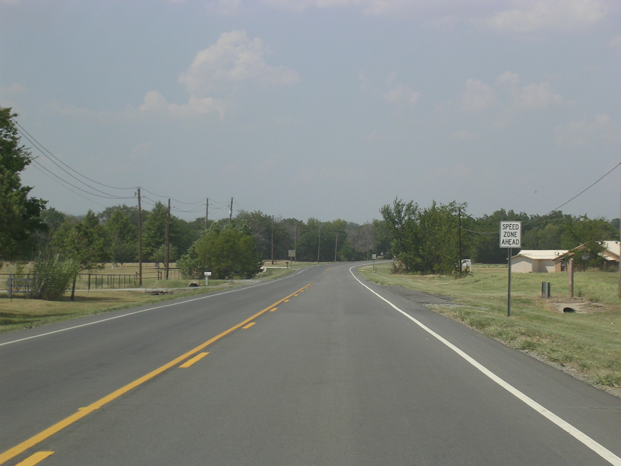 OK
72 northbound with US 62 (I think this might be near Boynton).
OK
72 northbound with US 62 (I think this might be near Boynton). This
is OK 72 NB and US 64 WB in Haskell.
This
is OK 72 NB and US 64 WB in Haskell. 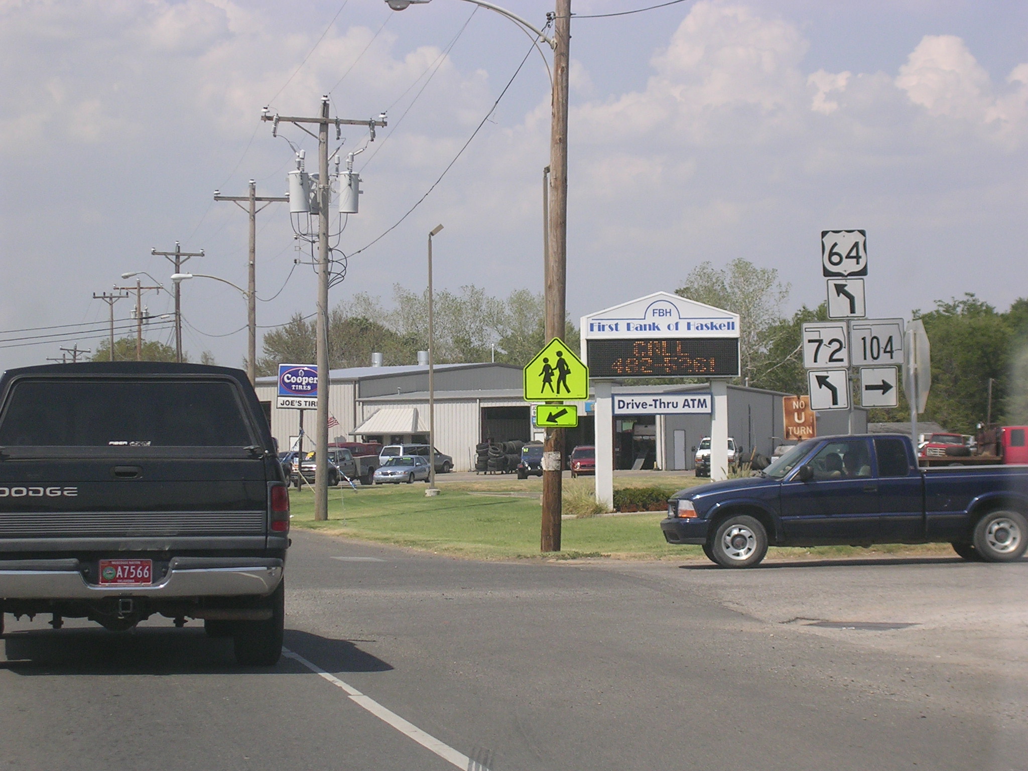 OK
104 ends here in Haskell. OK 72 is about to turn off to the north.
OK
104 ends here in Haskell. OK 72 is about to turn off to the north.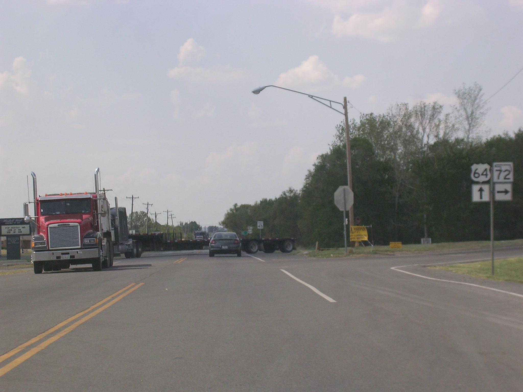 And
there it goes!
And
there it goes!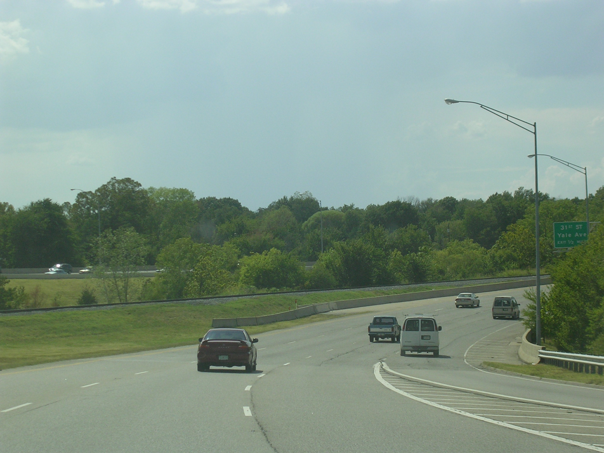 Fast
forward, and now we're on the Broken Arrow Expy. in Tulsa.
Fast
forward, and now we're on the Broken Arrow Expy. in Tulsa.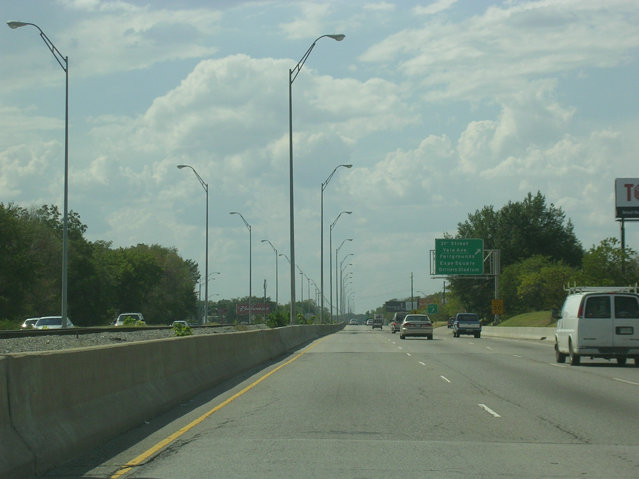 Not
much of a left shoulder there, is it?
Not
much of a left shoulder there, is it? Oh
boy, we're approaching hidden I-444, which is really just US 75 for like 2
miles. Look on the 2007 Rand McNally Road Atlas for proof (if you
must).
Oh
boy, we're approaching hidden I-444, which is really just US 75 for like 2
miles. Look on the 2007 Rand McNally Road Atlas for proof (if you
must).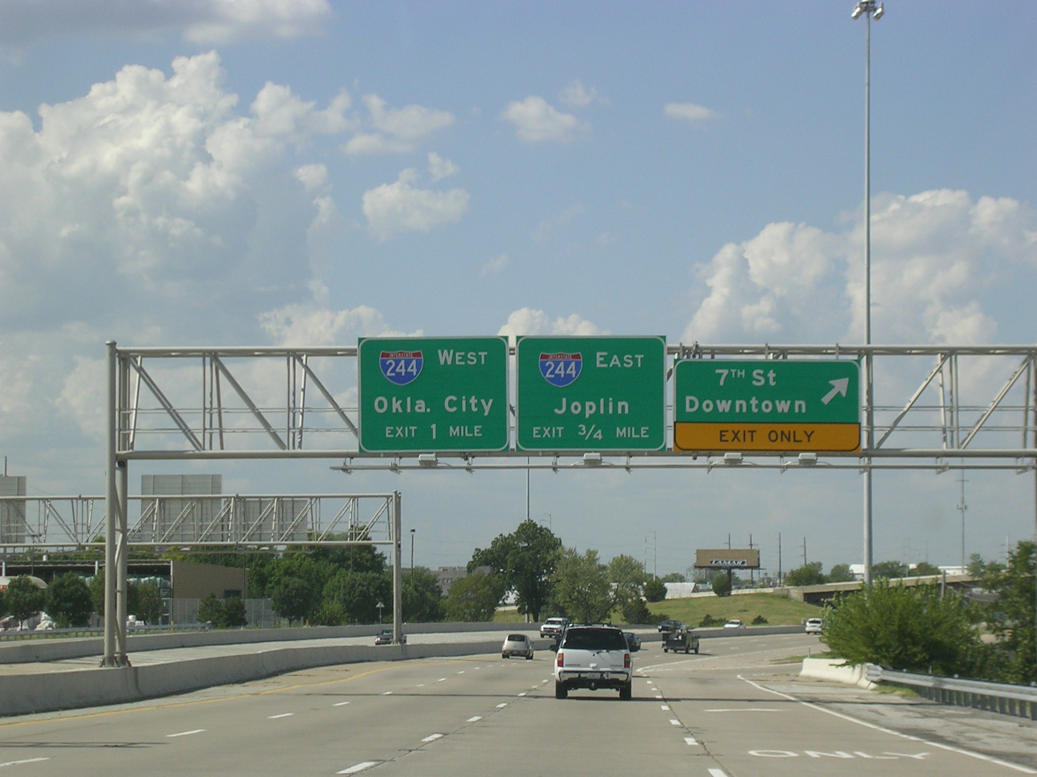 This
interstate is not so hidden. This exit marks the end of the Broken
Arrow Expy. westbound.
This
interstate is not so hidden. This exit marks the end of the Broken
Arrow Expy. westbound.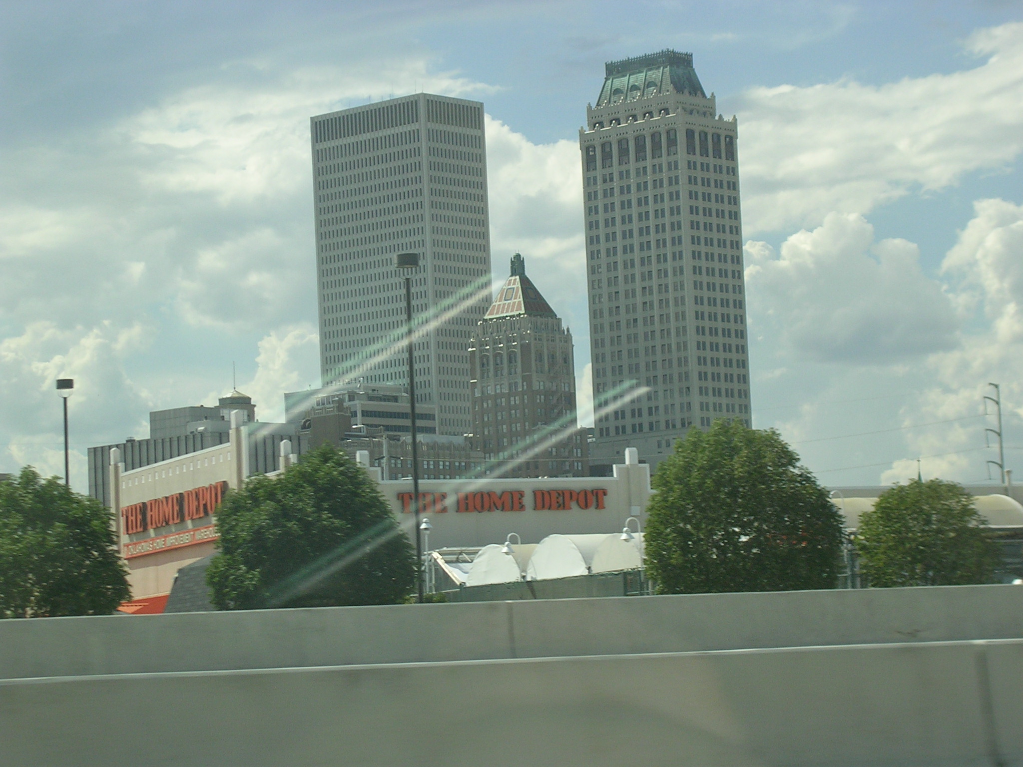 This
is just about the best shot I could get of the Tulsa skyline.
This
is just about the best shot I could get of the Tulsa skyline.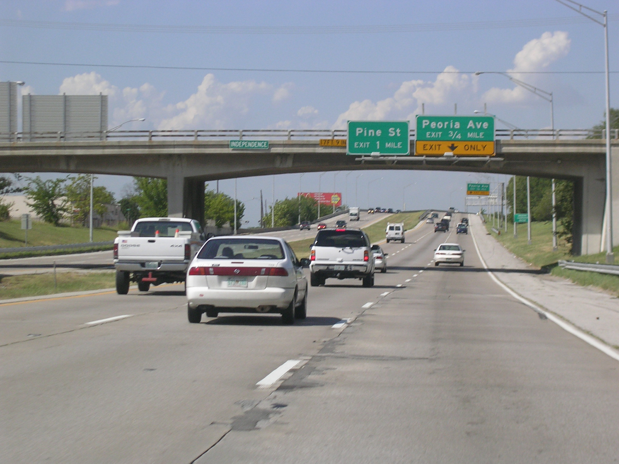 On
the US 75 freeway north of town. This is also called the Cherokee Expy.
On
the US 75 freeway north of town. This is also called the Cherokee Expy.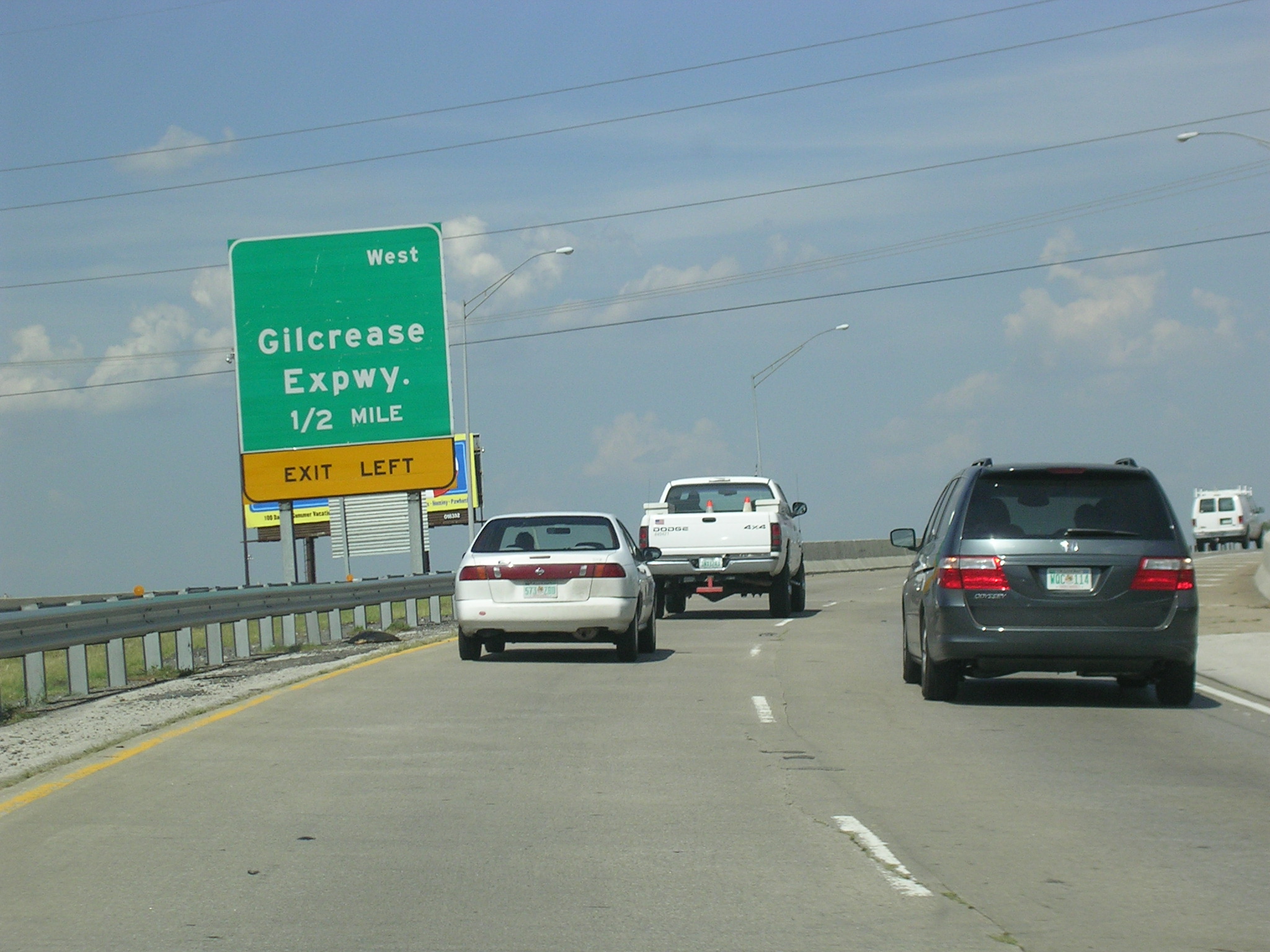 Approaching
the Gilcrease Expy. WB, which at this point is not yet OK 11.
Approaching
the Gilcrease Expy. WB, which at this point is not yet OK 11.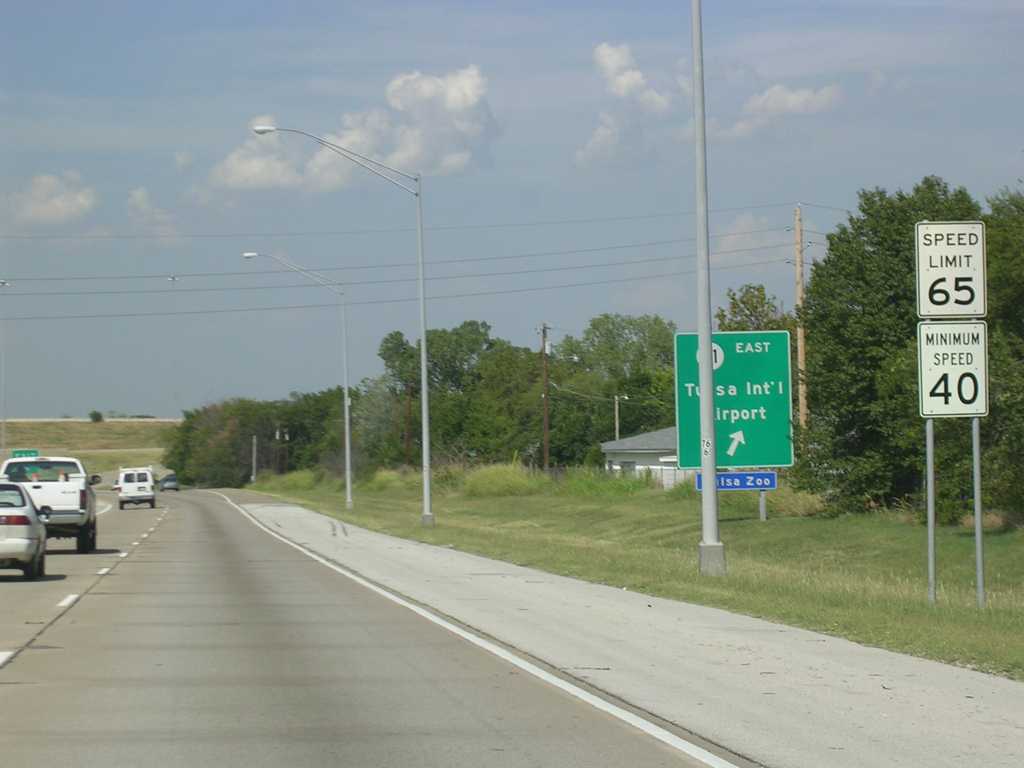 Take
the Gilcrease Expy. (OK 11) East to the airport or the zoo.
Take
the Gilcrease Expy. (OK 11) East to the airport or the zoo. The
flyover interchange with OK 11. You can see the BGS in the background
that indicates OK 11 is a surface street to the west.
The
flyover interchange with OK 11. You can see the BGS in the background
that indicates OK 11 is a surface street to the west.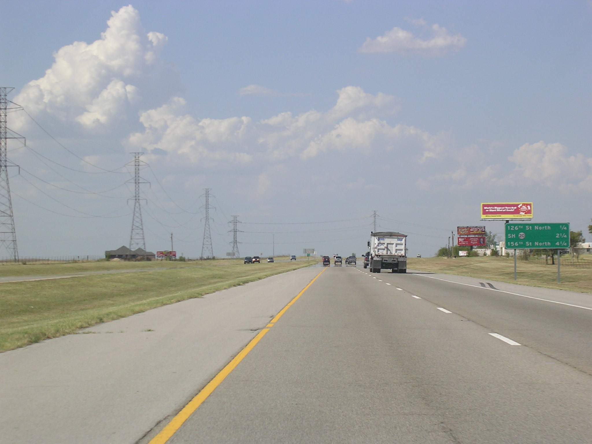 Approaching
OK 20 near Skiatook.
Approaching
OK 20 near Skiatook.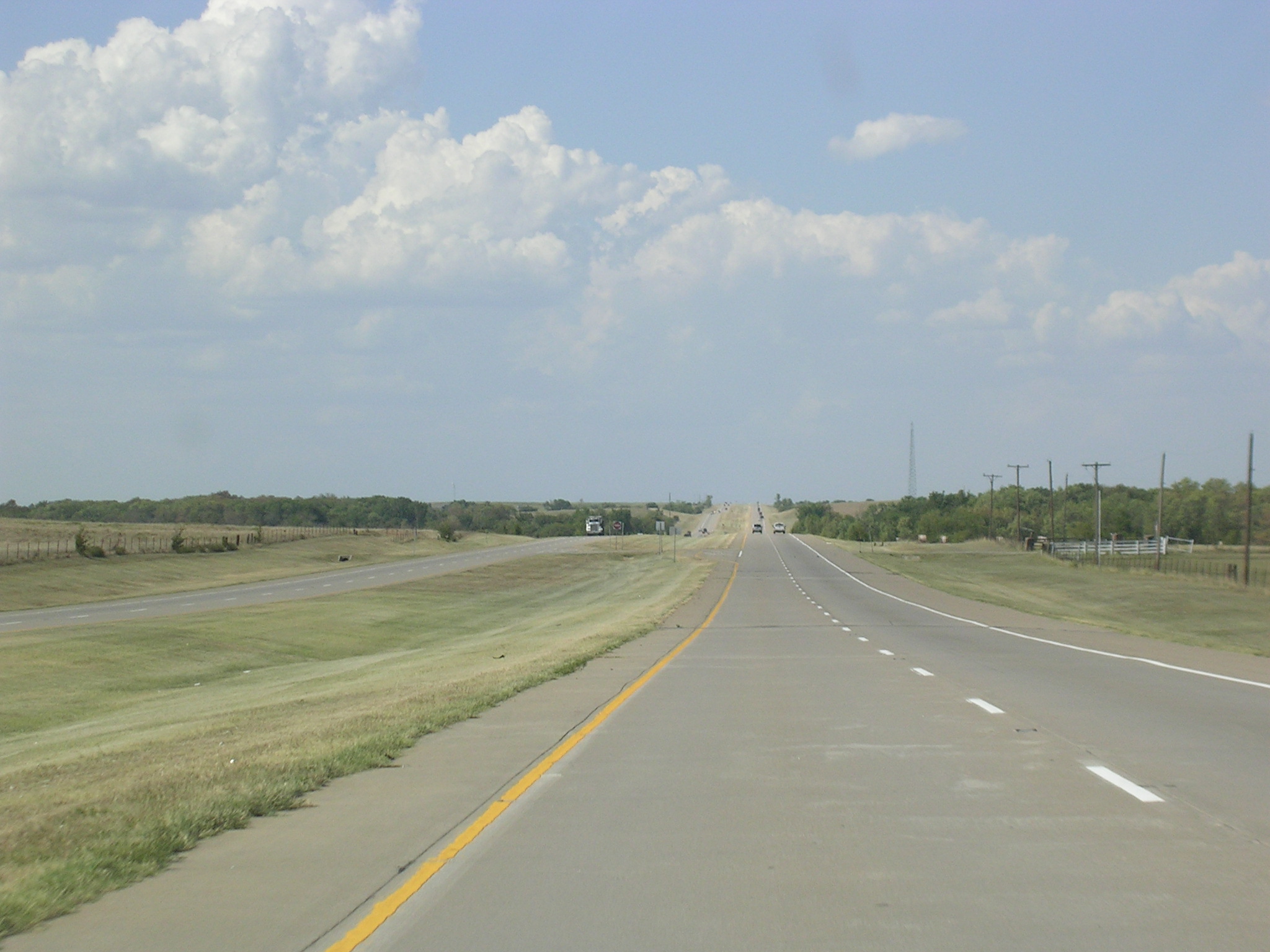 Big
city life north of Tulsa.
Big
city life north of Tulsa.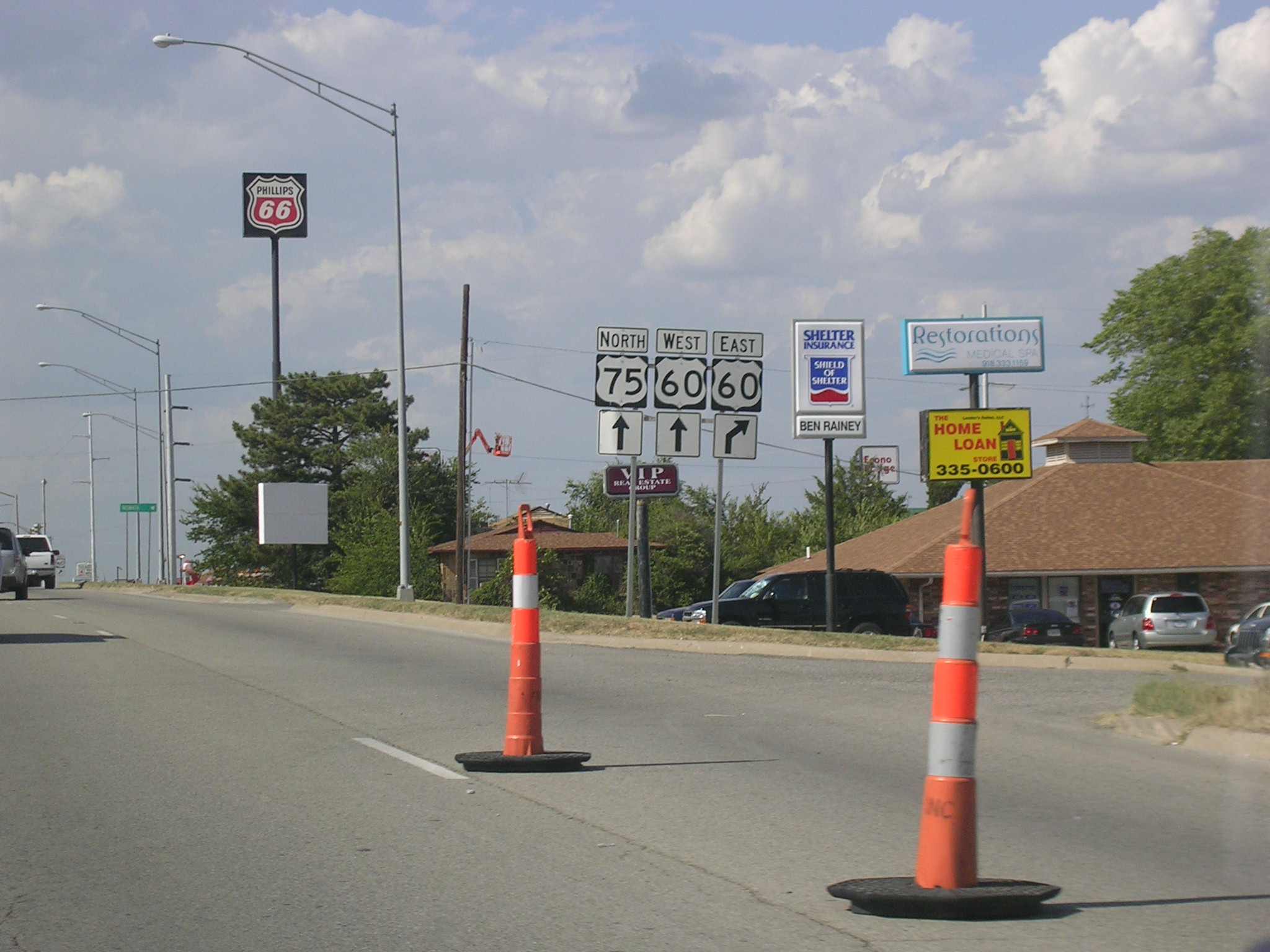 We've
hit Bartlesville, and some construction near US 60.
We've
hit Bartlesville, and some construction near US 60.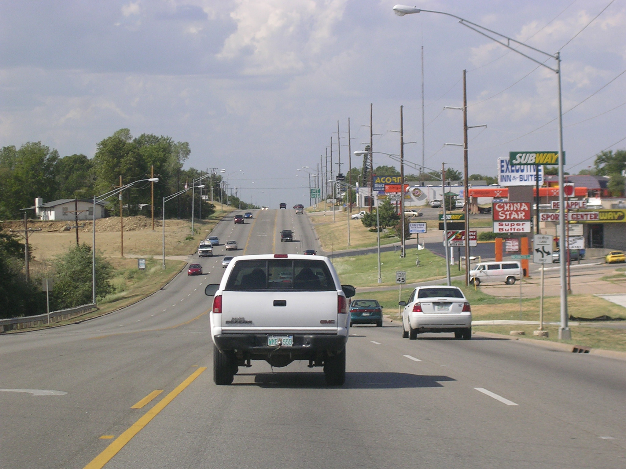 This
is what the southern part of Bartlesville looks like on US 75 NB and US 60
WB.
This
is what the southern part of Bartlesville looks like on US 75 NB and US 60
WB.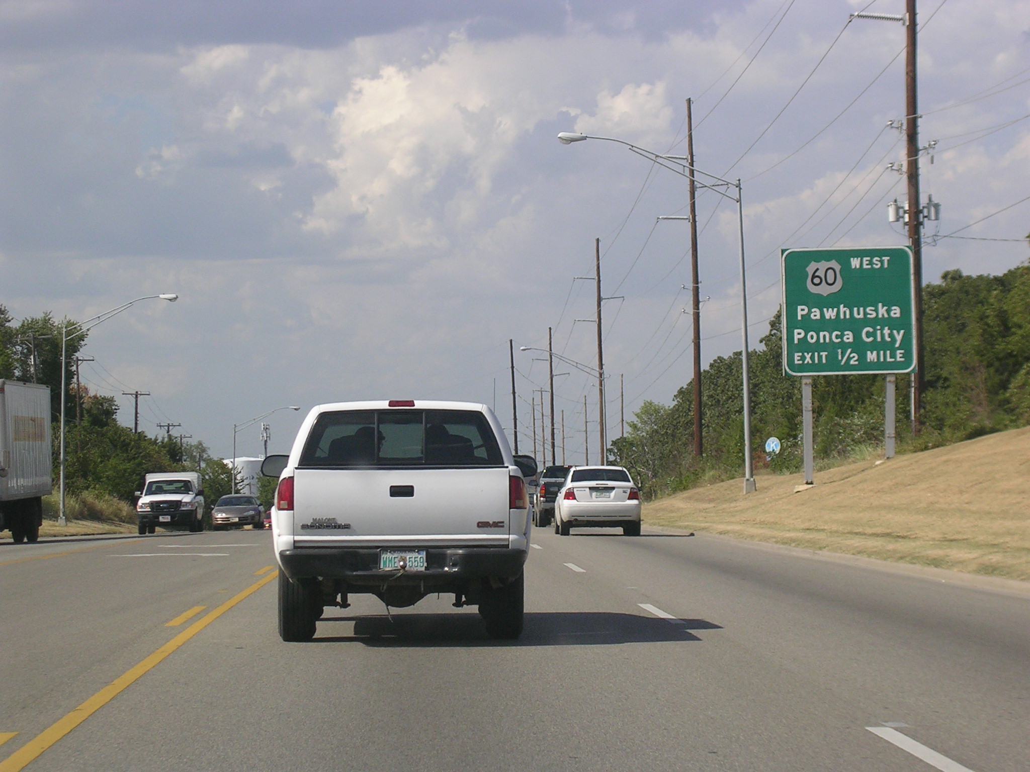 US
60 exits in half a mile.
US
60 exits in half a mile. US
75 keeps on going north to Kansas.
US
75 keeps on going north to Kansas. This
is what the northern part of Bartlesville looks like on US 75 NB.
This
is what the northern part of Bartlesville looks like on US 75 NB.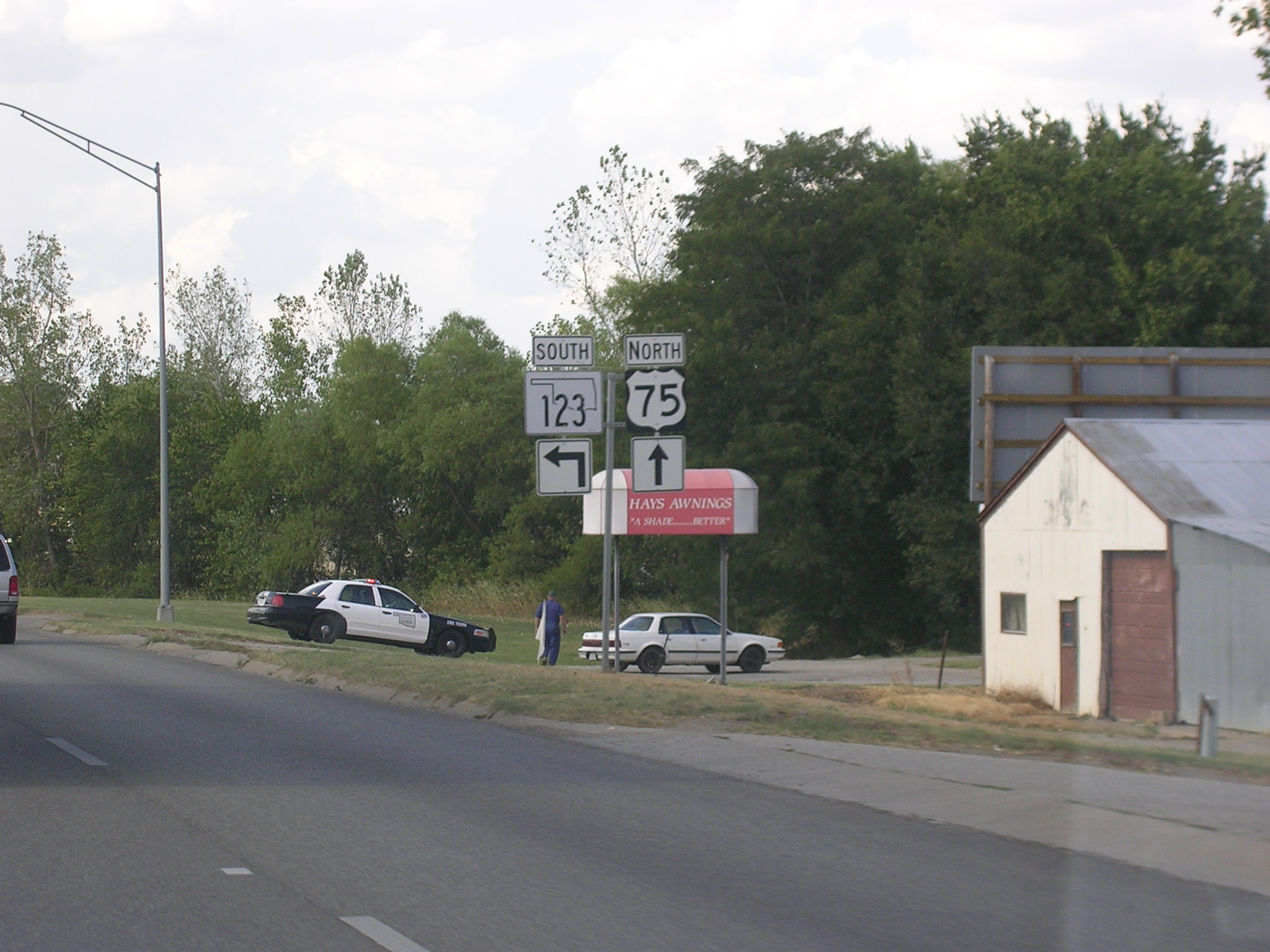 Here's
OK 123.
Here's
OK 123.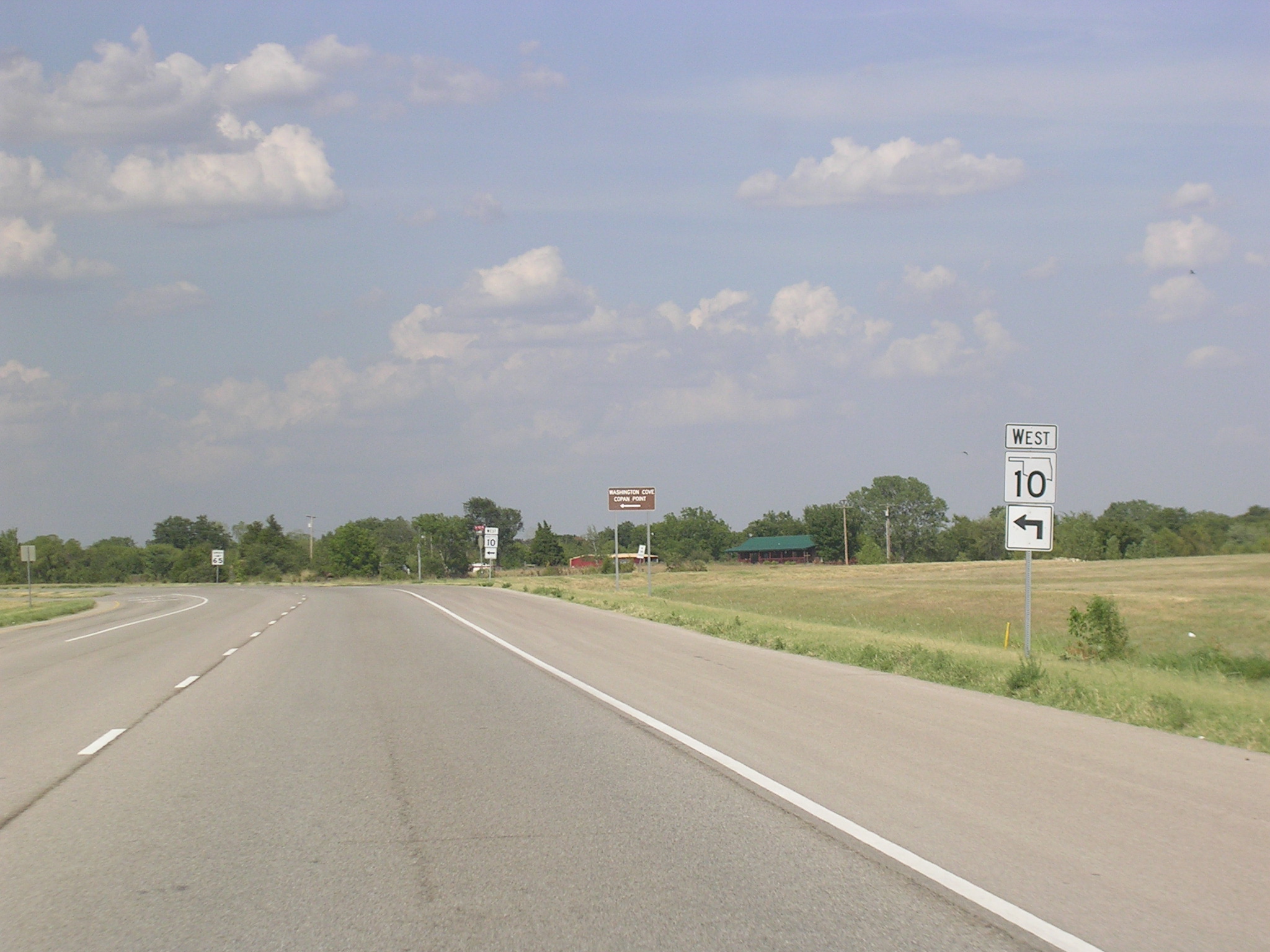 And
OK 10.
And
OK 10.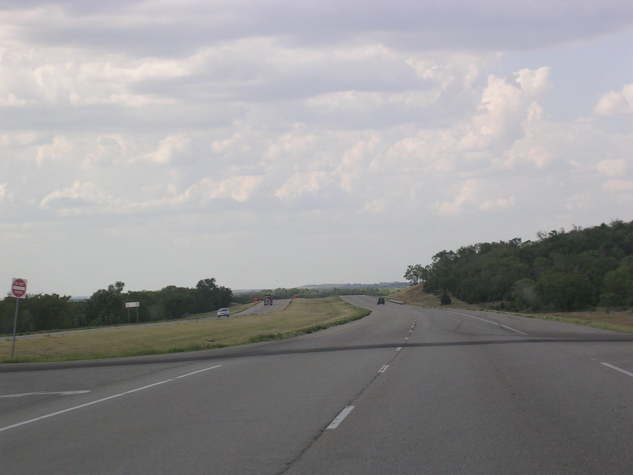 Because
of the nothingness that surrounds US 75, the speed limit on this
non-limited-access road is 70 m.p.h.
Because
of the nothingness that surrounds US 75, the speed limit on this
non-limited-access road is 70 m.p.h.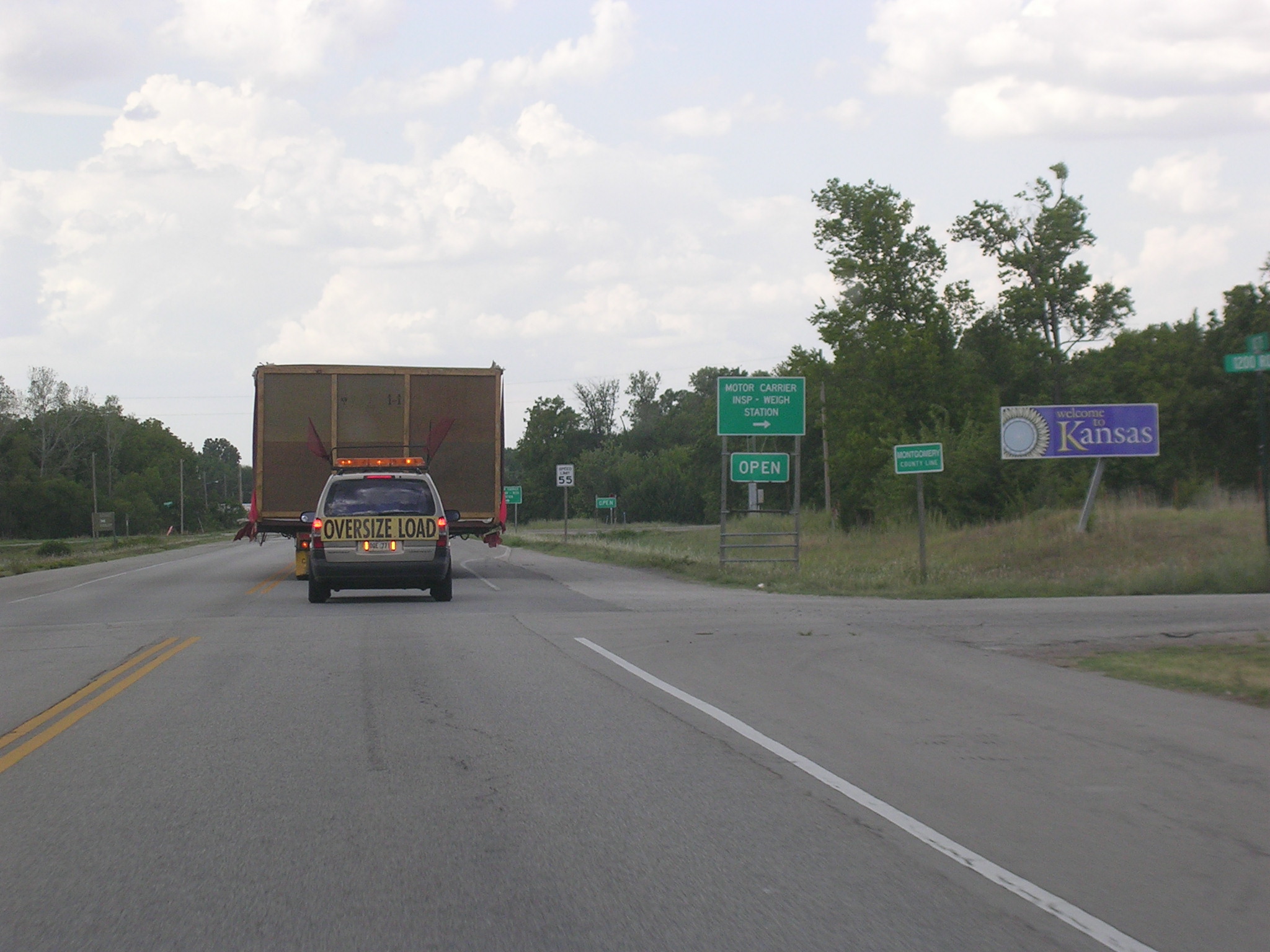 Whoa
mother, we've hit Kansas!
Whoa
mother, we've hit Kansas!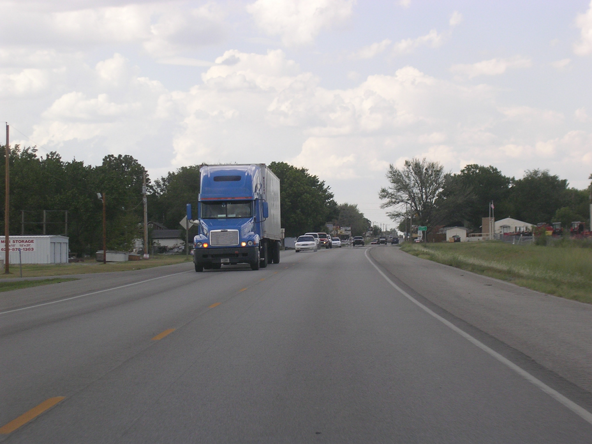 So
sue me, this is not Oklahoma. I have a few pictures of Kansas, and
here is US 75 NB reduced to 2 lanes coming into Caney, KS.
So
sue me, this is not Oklahoma. I have a few pictures of Kansas, and
here is US 75 NB reduced to 2 lanes coming into Caney, KS. Getting
back into the country on US 75 NB.
Getting
back into the country on US 75 NB. But
not for long, because here is US 166 West, which I utilized to get a county.
But
not for long, because here is US 166 West, which I utilized to get a county.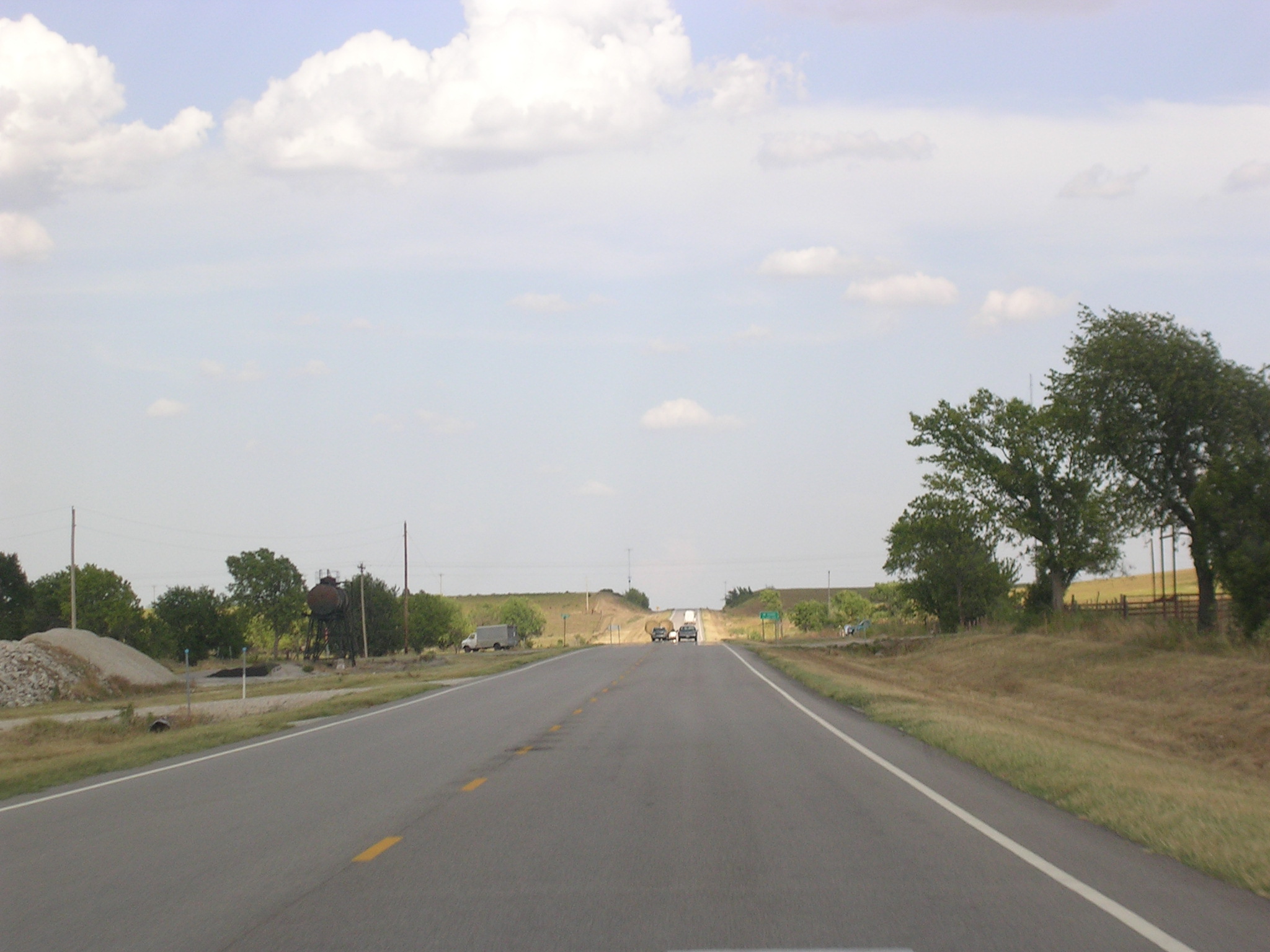 Alright,
time to turn around on US 166 WB.
Alright,
time to turn around on US 166 WB.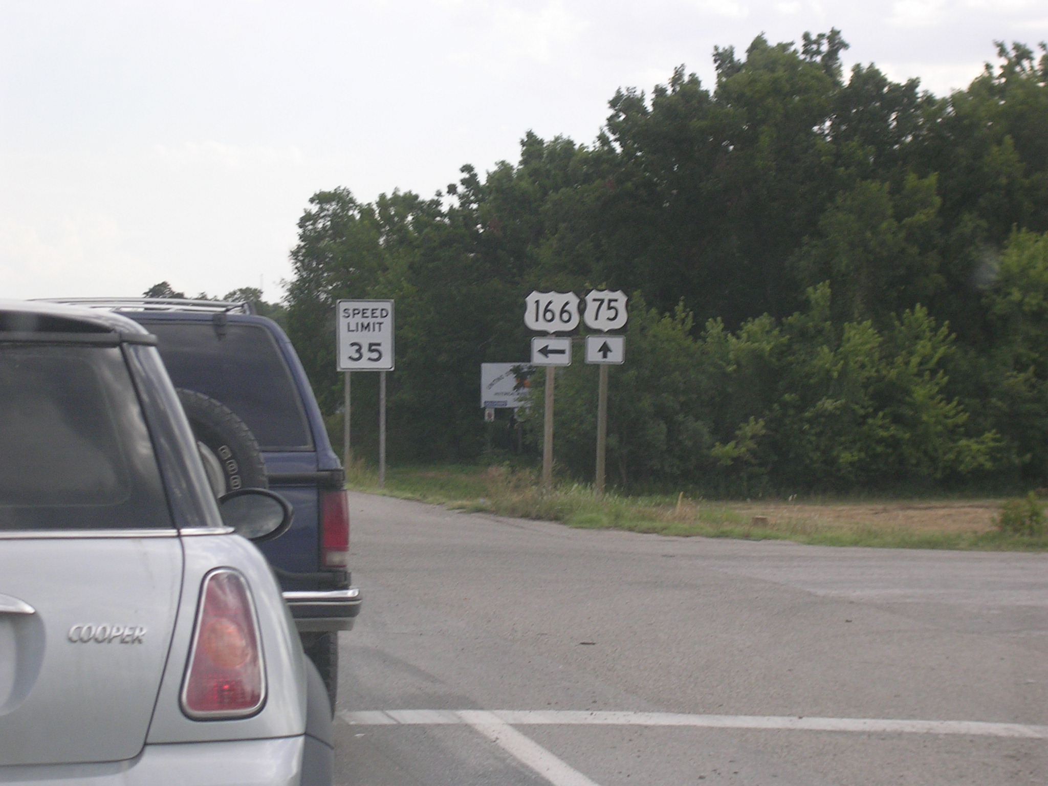 Some
shields for y'all.
Some
shields for y'all.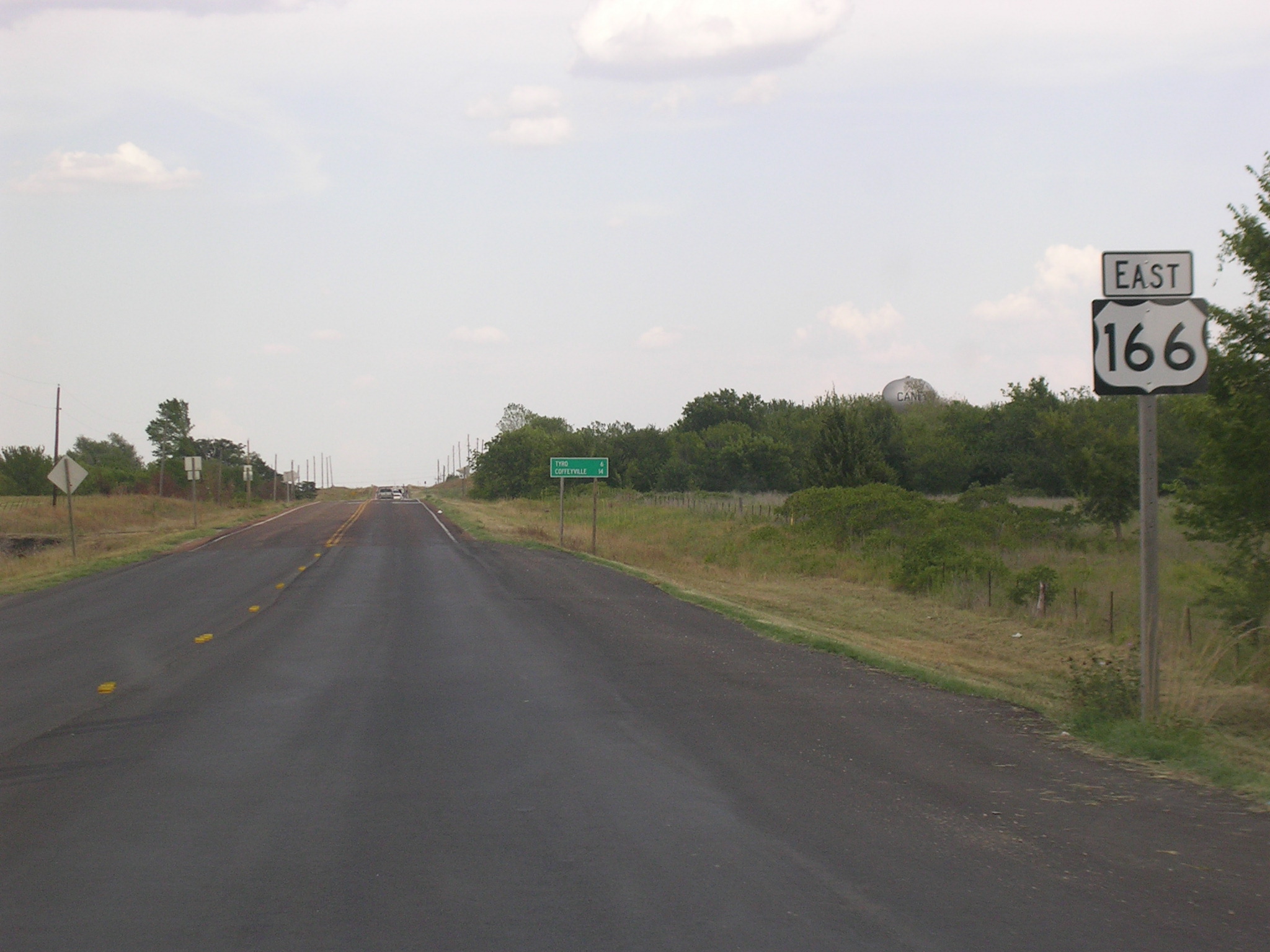 Some
hot resurfacing action on US 166 east of US 75.
Some
hot resurfacing action on US 166 east of US 75.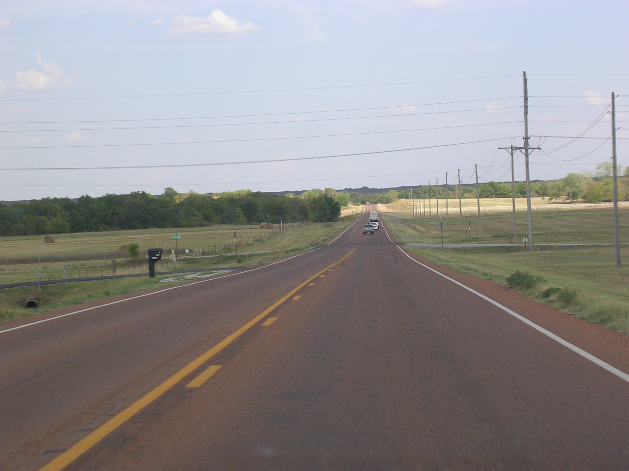 US
166 parallels the OK-KS border, and looks a lot like this.
US
166 parallels the OK-KS border, and looks a lot like this.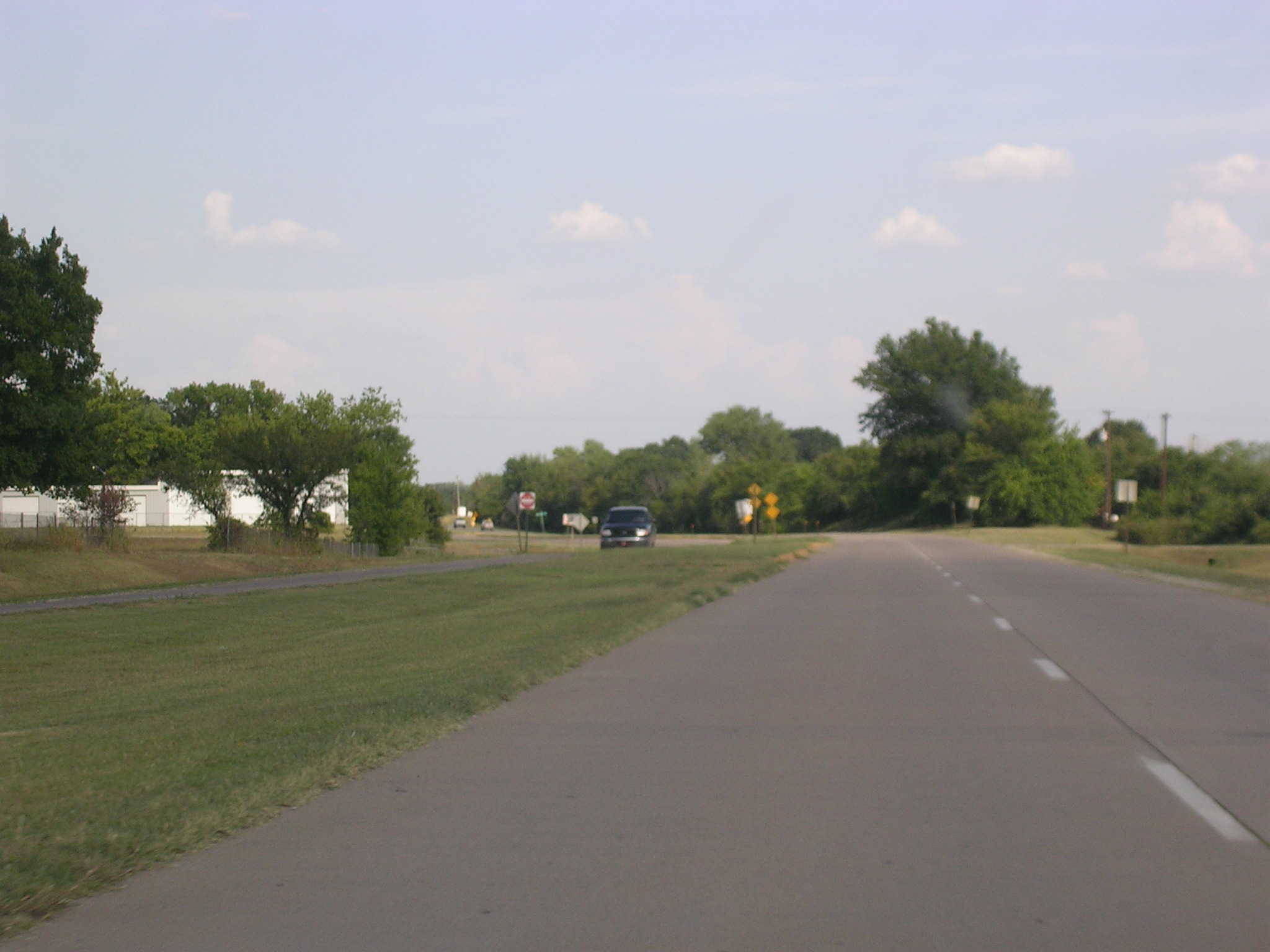 Some
old-school 4-lane action now.
Some
old-school 4-lane action now.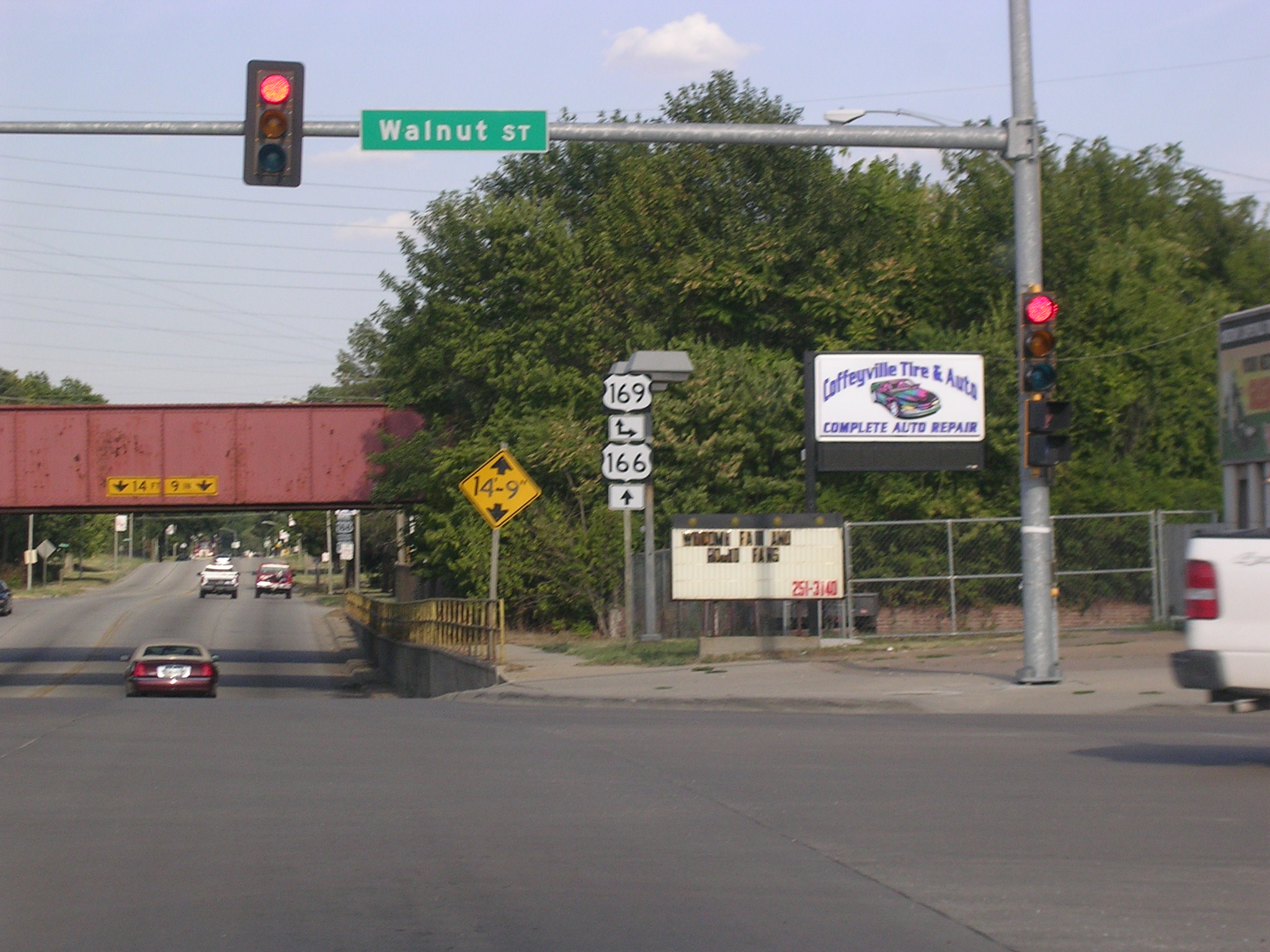 Well,
after a snack at Braum's, we've made it to Coffeyville and US 169.
Well,
after a snack at Braum's, we've made it to Coffeyville and US 169.