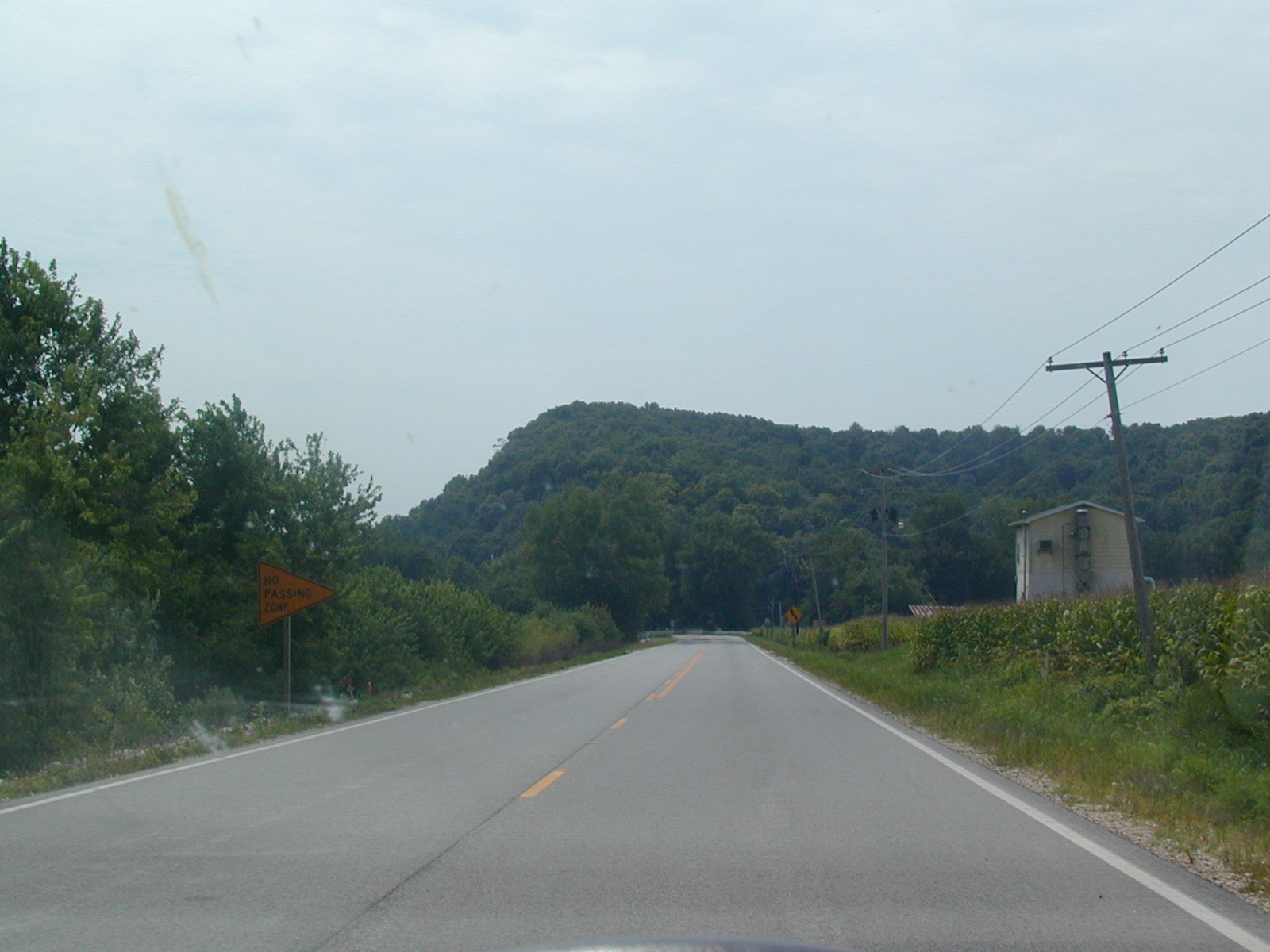
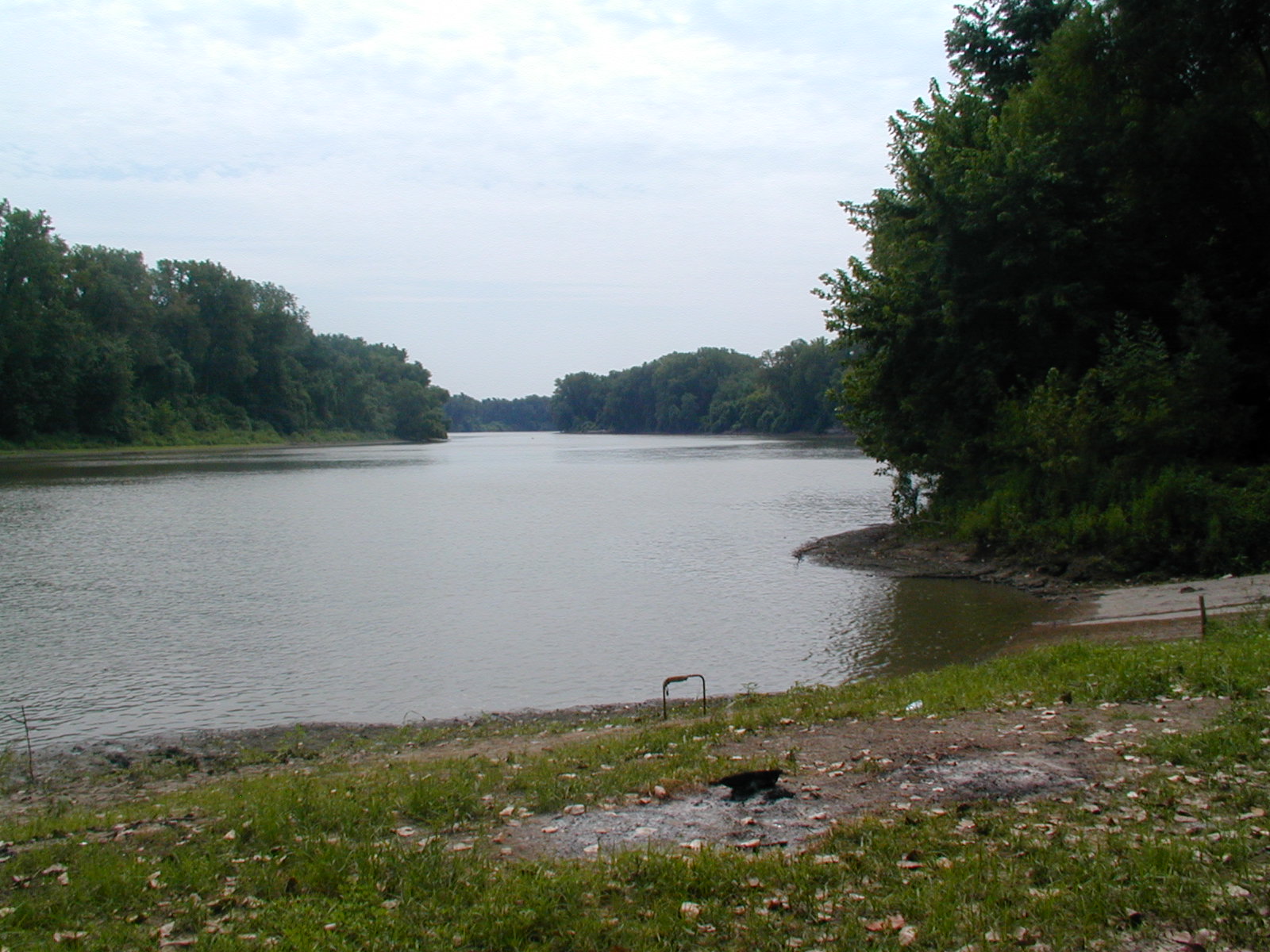
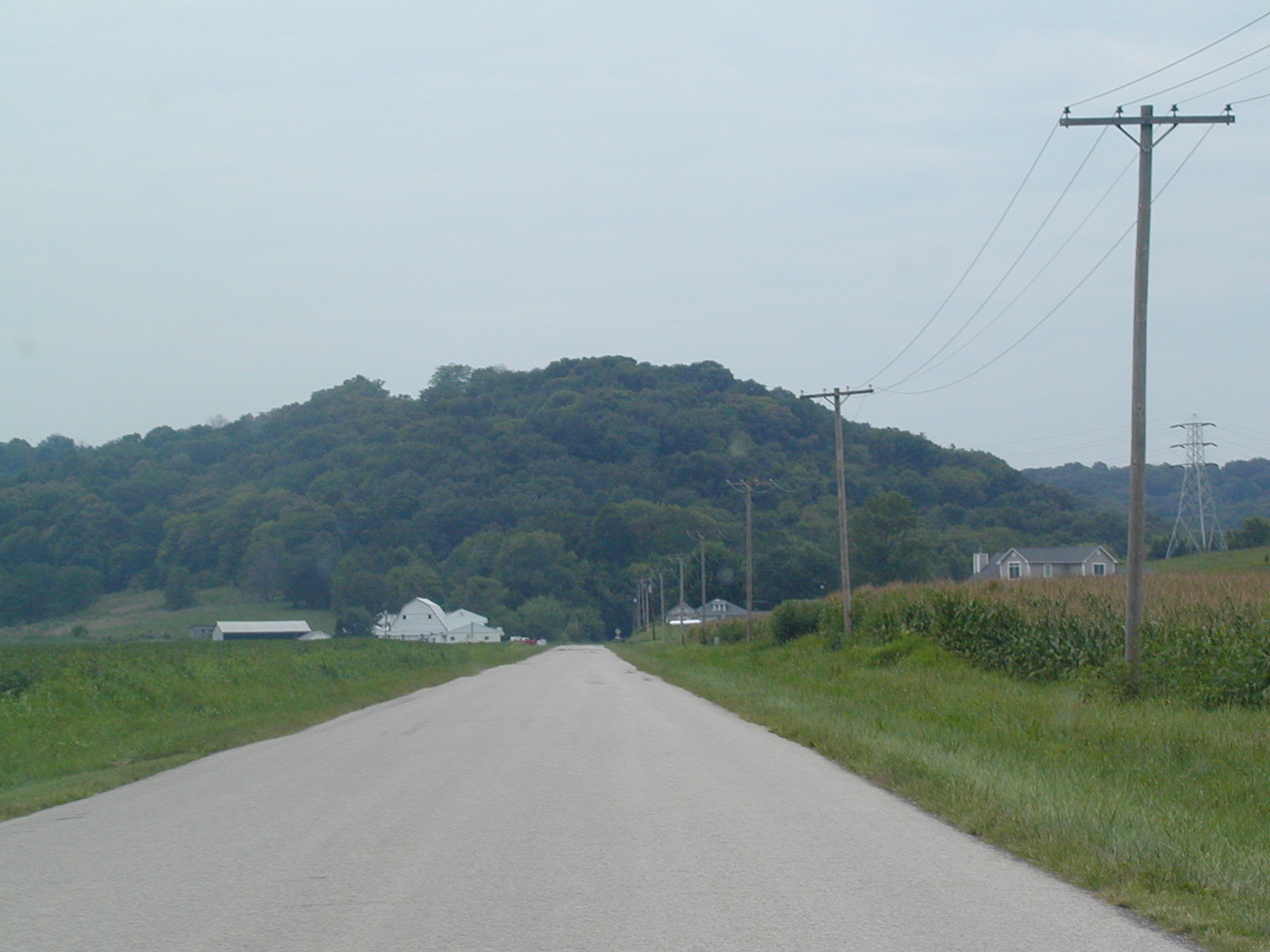
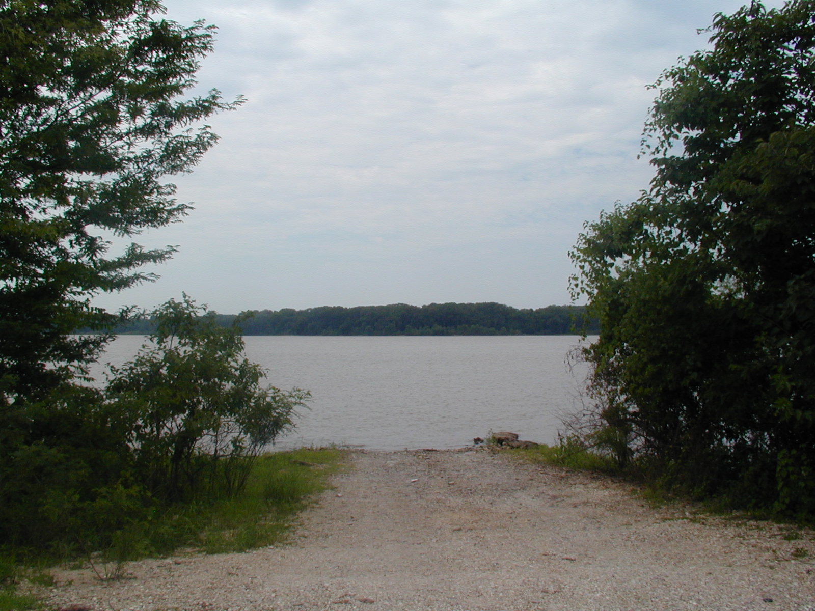
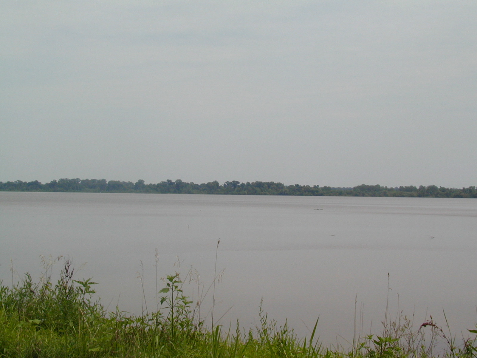
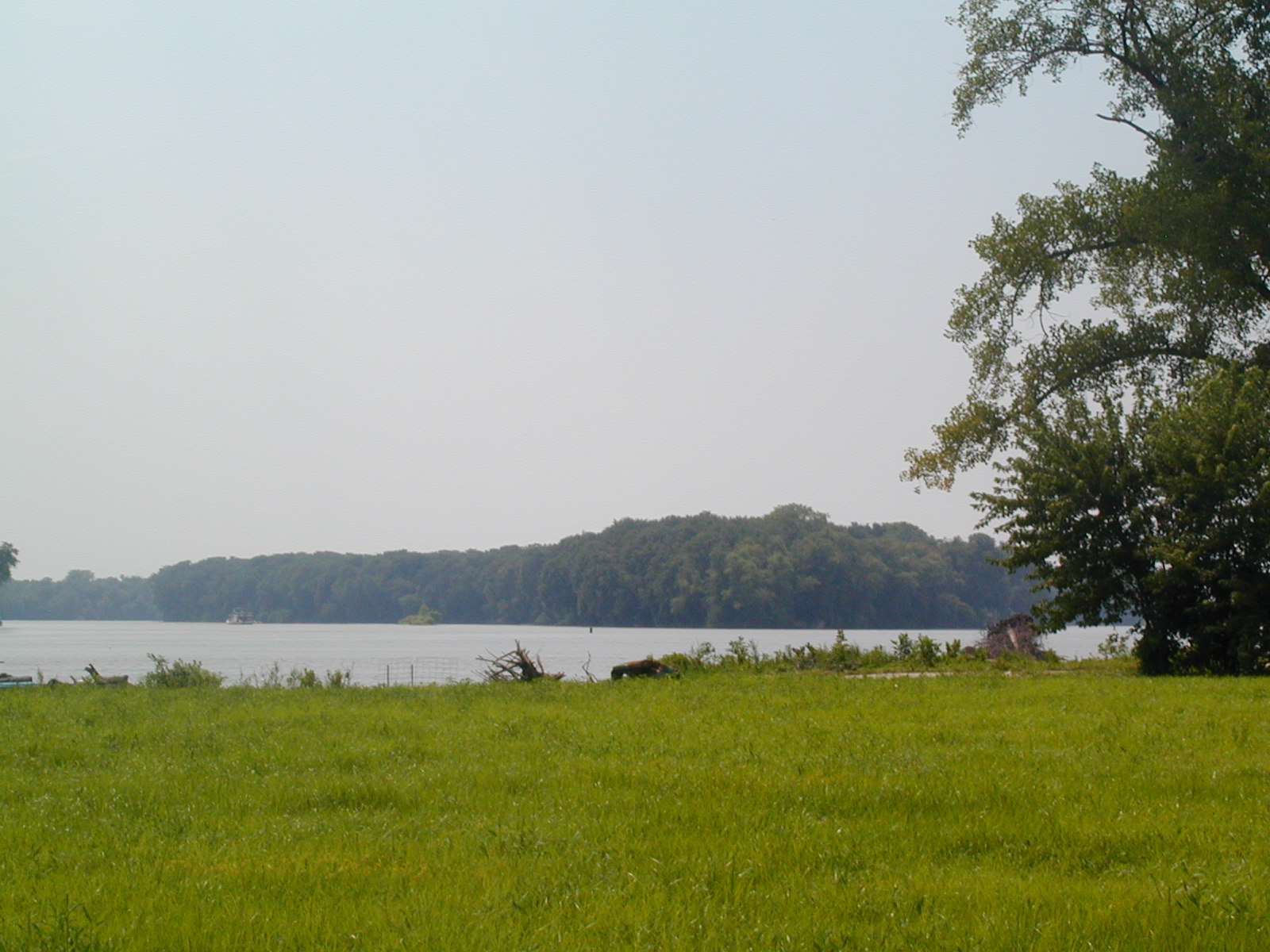
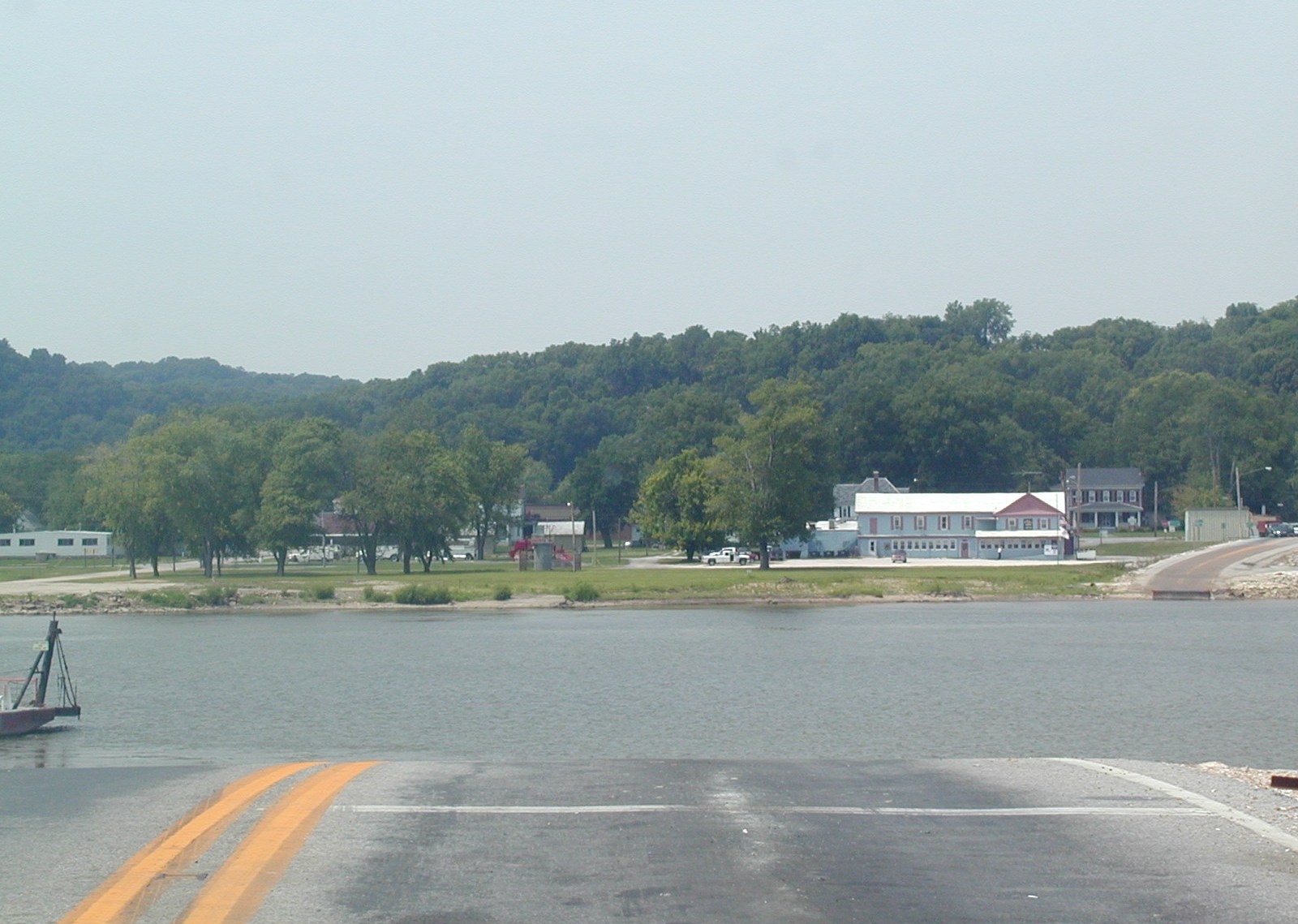
 A
view of Kampsville from the east bank of the Illinois River. This is
IL 108 westbound.
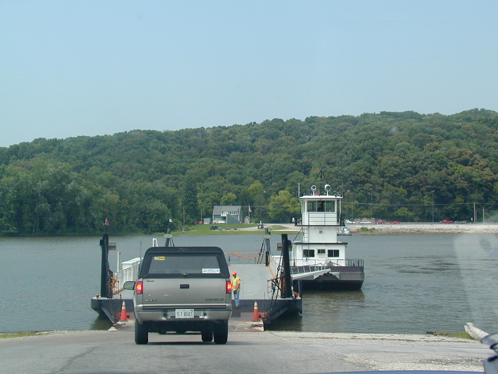
A
view of Kampsville from the east bank of the Illinois River. This is
IL 108 westbound.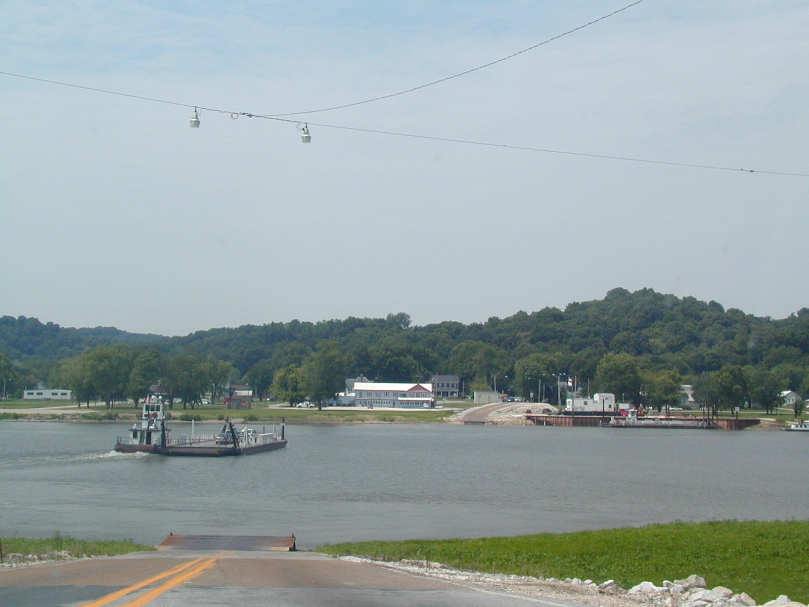 That's
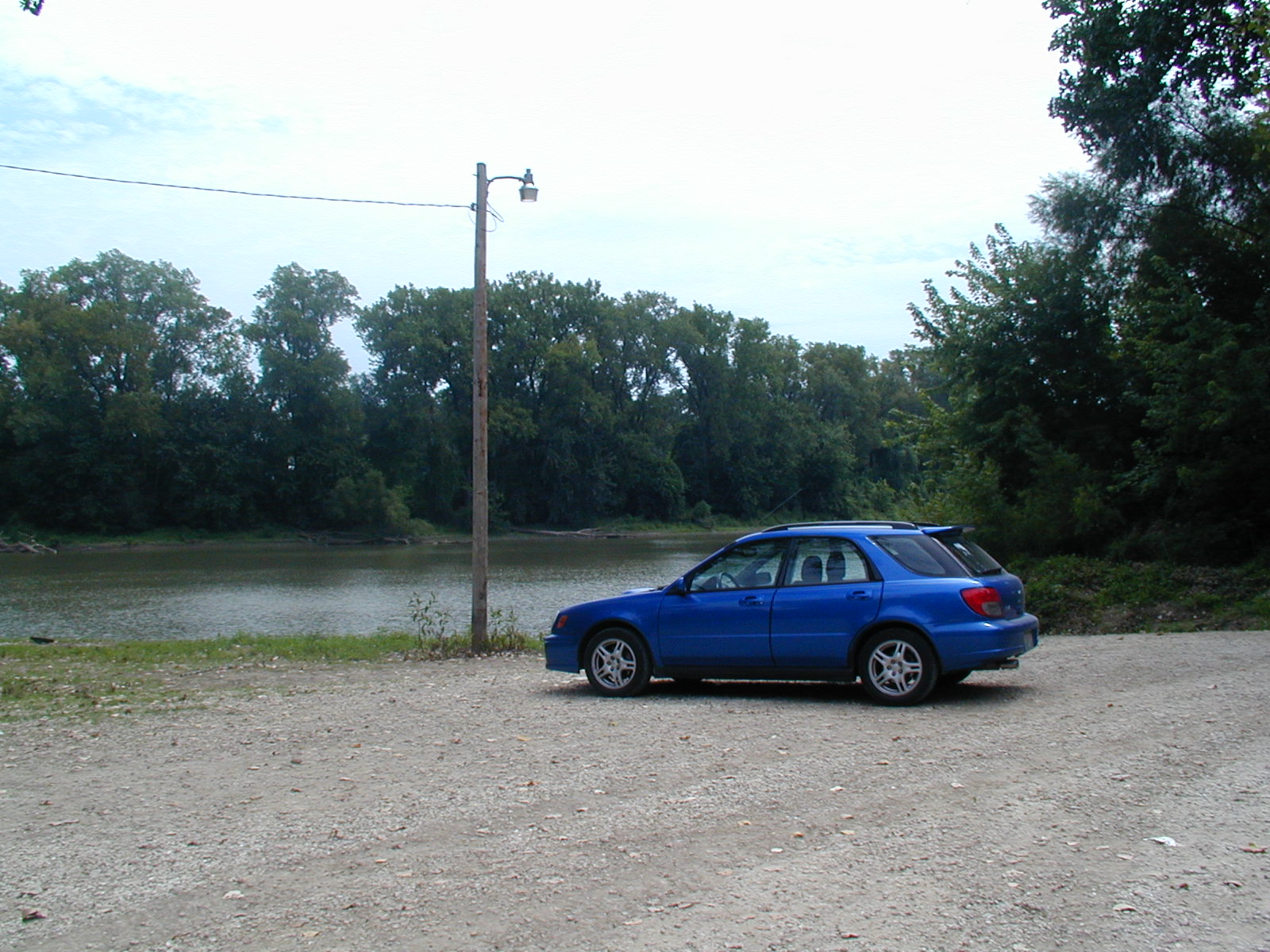
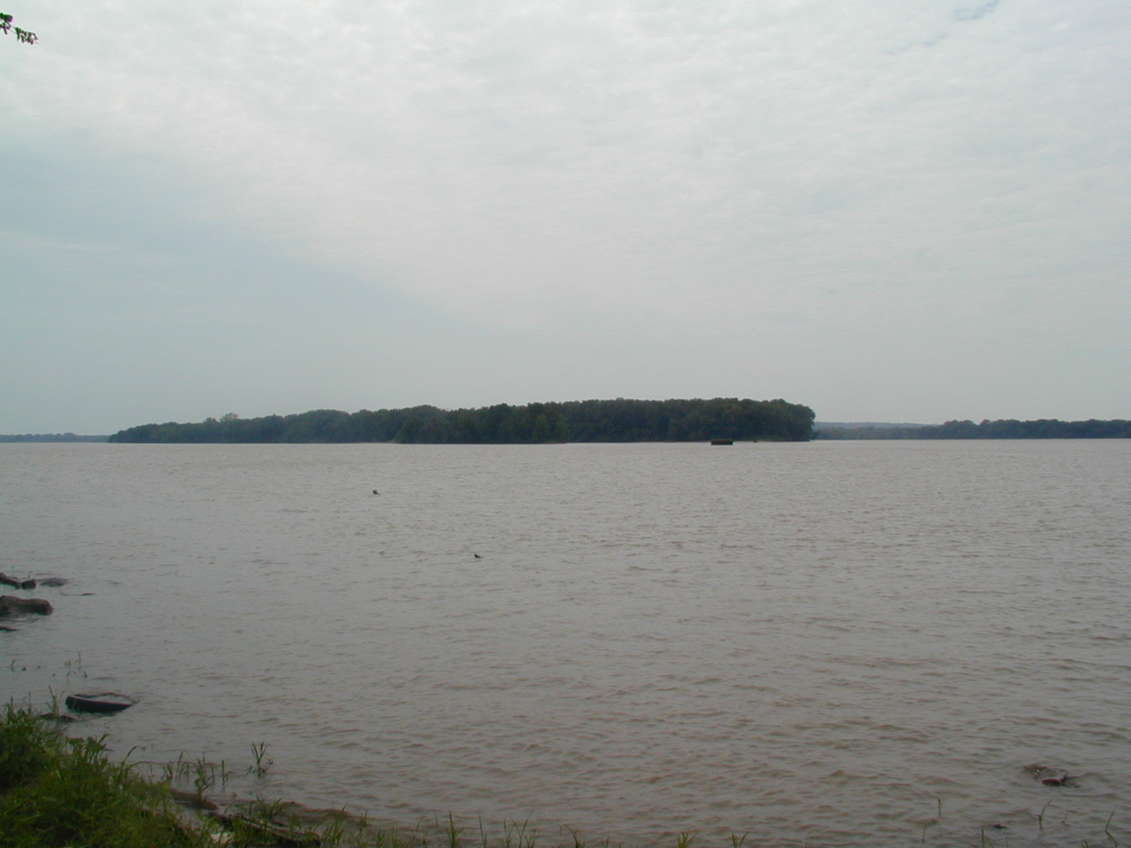
the ferry that takes you over, operated by IDOT. On my trip, it fit my
car, a pickup, another car, and a semi truck. Impressive, I think.
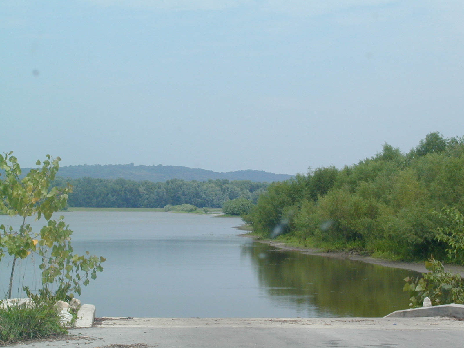
That's
the ferry that takes you over, operated by IDOT. On my trip, it fit my
car, a pickup, another car, and a semi truck. Impressive, I think.
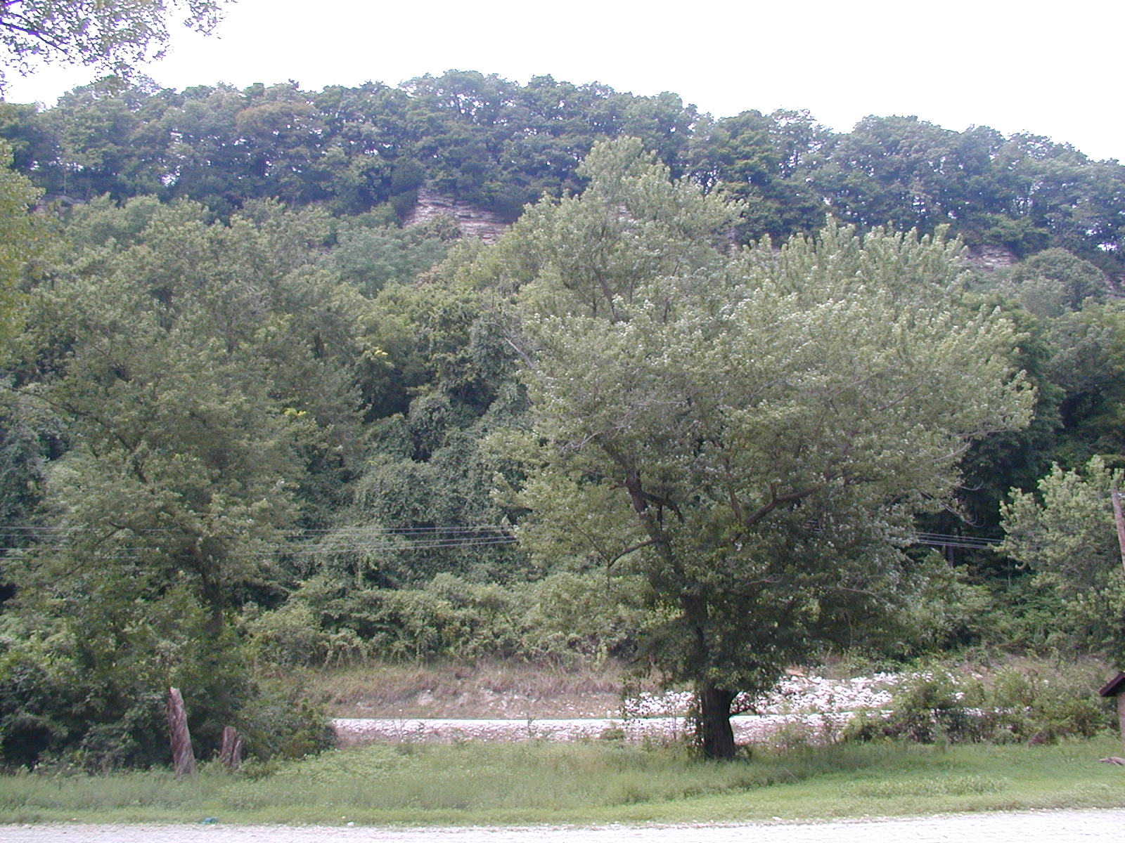
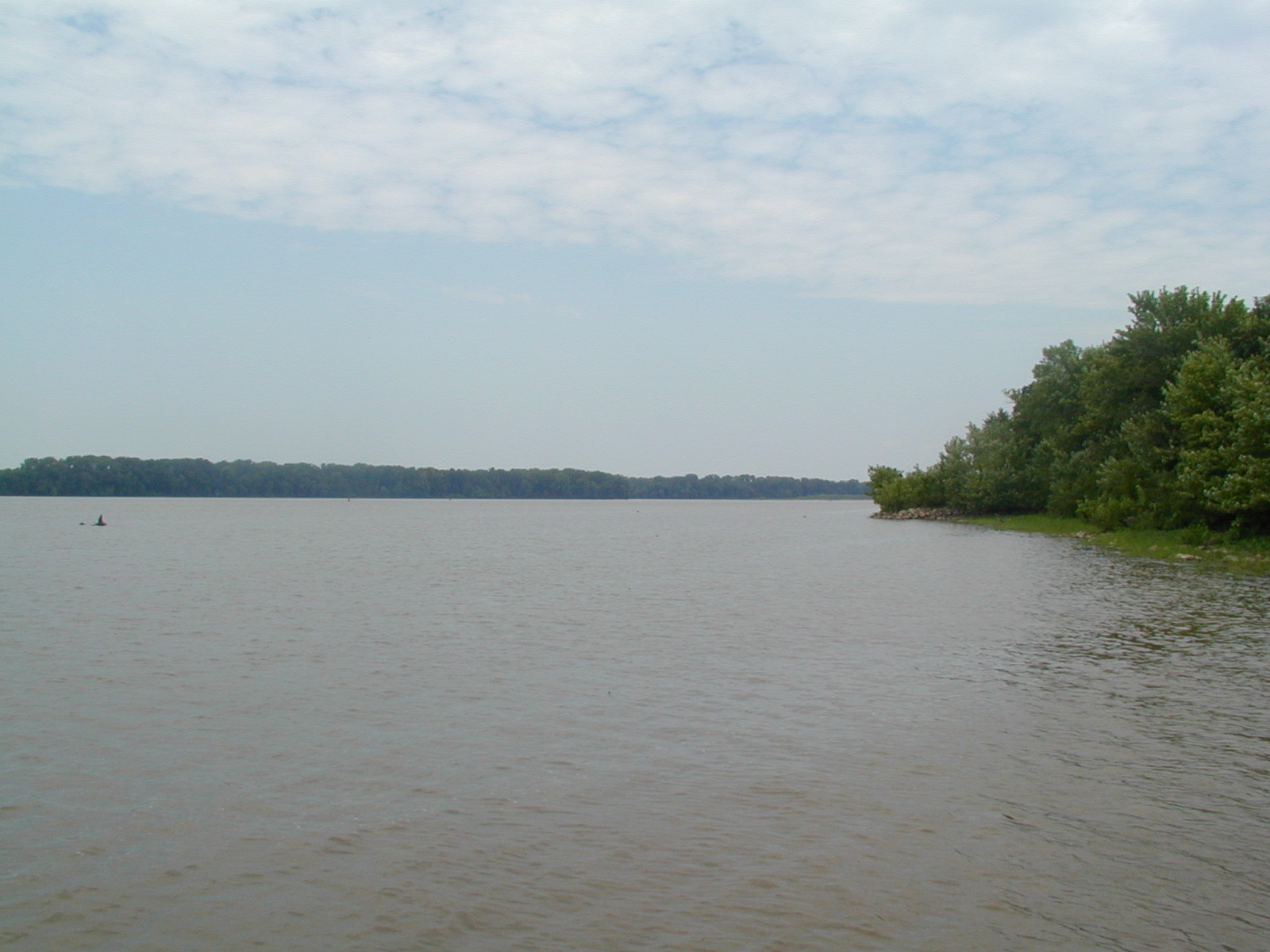
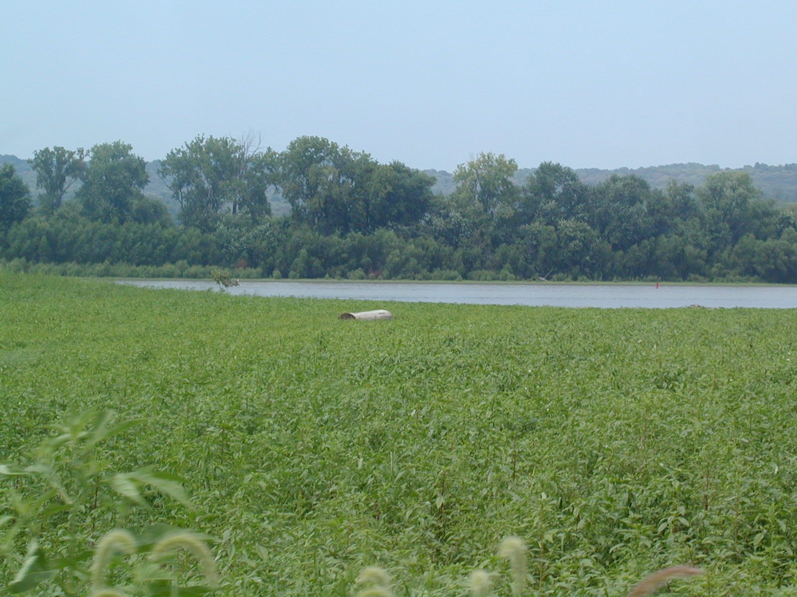
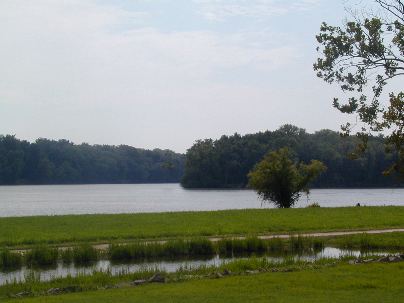
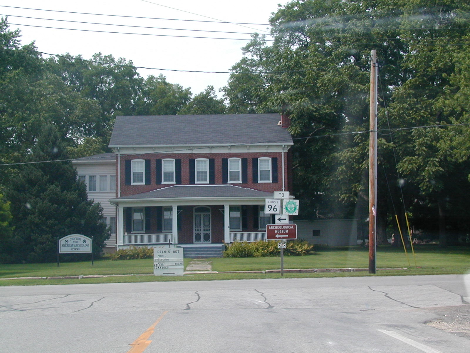 This
is one of the archeology buildings in Kampsville. Unfortunately, I
couldn't stop to check them out as both were closed at the time. This
building was visible from across the river.
This
is one of the archeology buildings in Kampsville. Unfortunately, I
couldn't stop to check them out as both were closed at the time. This
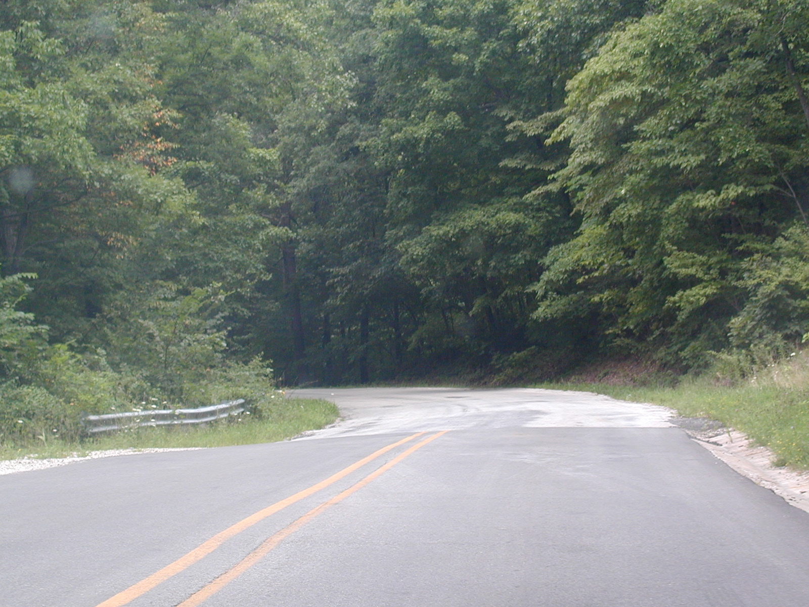
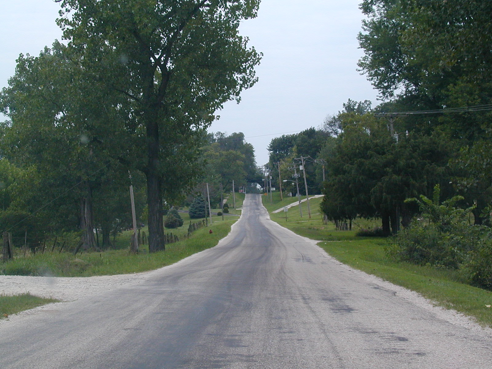
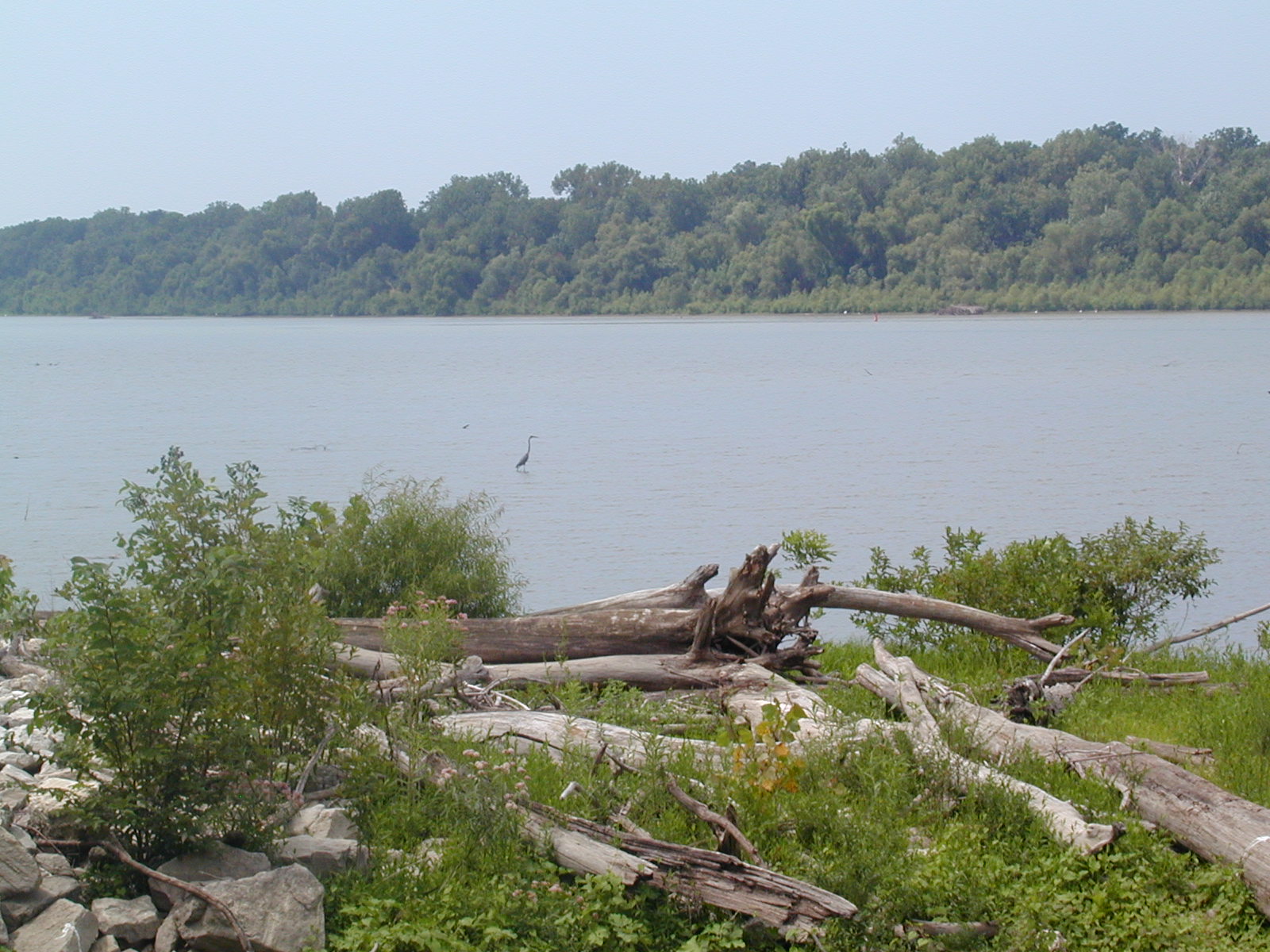
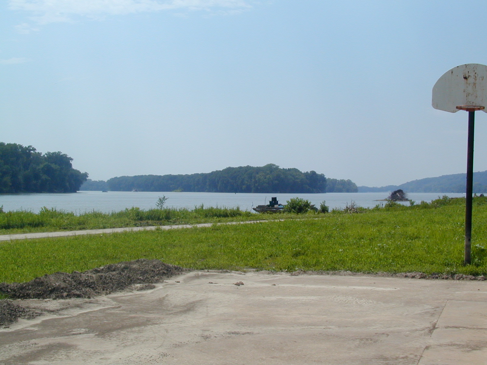
building was visible from across the river. Heading
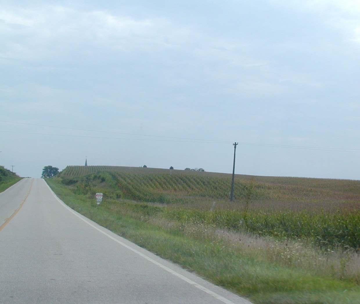
out of Kampsville on IL 100 South. IL 108 ended immediately after
crossing the river at IL 100.
Heading
out of Kampsville on IL 100 South. IL 108 ended immediately after
crossing the river at IL 100.