 The
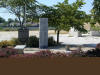
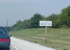
first real stop of the trip was in Moweaqua. This is on the west side
of town at the coal mine memorial, which honors those who died in the
Christmas Eve 1932 disaster at this site when the mine collapsed and 54
people died. The actual memorial is where the bushes are in the center
of the photo. The
first real stop of the trip was in Moweaqua. This is on the west side
of town at the coal mine memorial, which honors those who died in the
Christmas Eve 1932 disaster at this site when the mine collapsed and 54
people died. The actual memorial is where the bushes are in the center
of the photo. |
 Sorry
about the picture, I don't know what happened. Either way, this is a
close-up of the actual memorial. The part that is all screwy is just
bushes anyway. Sorry
about the picture, I don't know what happened. Either way, this is a
close-up of the actual memorial. The part that is all screwy is just
bushes anyway. |
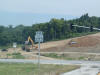
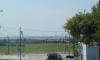
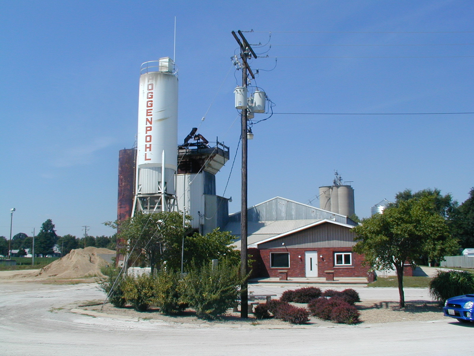
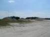 As
far as I can guess, this is just about where the mine was. They don't
tell you exactly where it was, and it closed in 1935, so it's pretty much
impossible to tell. Now it's a gravel pit for the Poggenpohl Redi-Mix
company that is located at the site. As
far as I can guess, this is just about where the mine was. They don't
tell you exactly where it was, and it closed in 1935, so it's pretty much
impossible to tell. Now it's a gravel pit for the Poggenpohl Redi-Mix
company that is located at the site. |
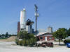
 A
very pretty car sits outside the coal mine museum in Moweaqua. A
volunteer named Bruce was there and quick to tell me everything I needed to
know about the history of Moweaqua's coal mine. The museum was kind of
corny, but at the same time very interesting, when listening to Bruce. A
very pretty car sits outside the coal mine museum in Moweaqua. A
volunteer named Bruce was there and quick to tell me everything I needed to
know about the history of Moweaqua's coal mine. The museum was kind of
corny, but at the same time very interesting, when listening to Bruce. |
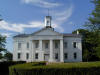 This
is the capitol building of Illinois' second capital Vandalia. The
place was okay, I guess, as it did have original wood floors on the second
level. Seems that the only important thing that happened here was that
Abe Lincoln successfully argued to get the capital changed to Springfield. This
is the capitol building of Illinois' second capital Vandalia. The
place was okay, I guess, as it did have original wood floors on the second
level. Seems that the only important thing that happened here was that
Abe Lincoln successfully argued to get the capital changed to Springfield. |
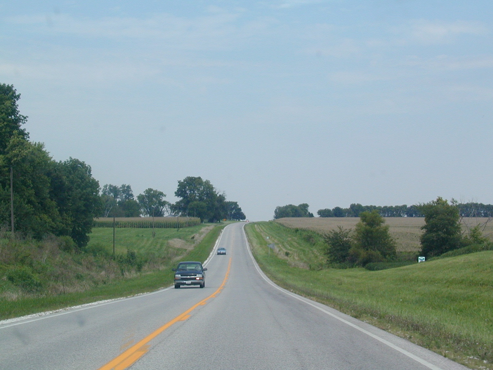
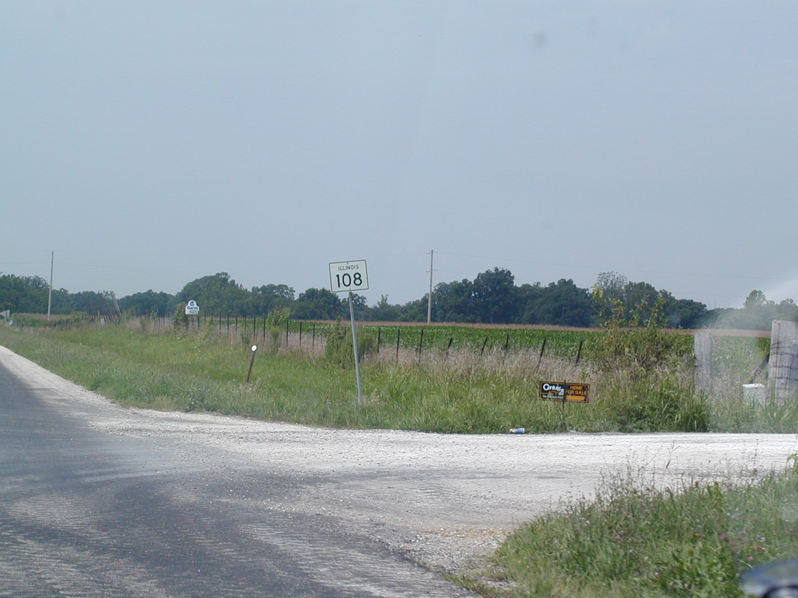
 Now
on over to Olney, where IL 130 and IL 250 hook up. There wasn't too
much to see in Olney. Now
on over to Olney, where IL 130 and IL 250 hook up. There wasn't too
much to see in Olney. |
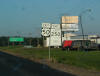 Yes,
US 50 and IL 250 are signed together on this recently resurfaced highway.
IL 250 is the designation given to the old alignment of the federal highway
from west of Olney to east of Lawrenceville. Yes,
US 50 and IL 250 are signed together on this recently resurfaced highway.
IL 250 is the designation given to the old alignment of the federal highway
from west of Olney to east of Lawrenceville. |
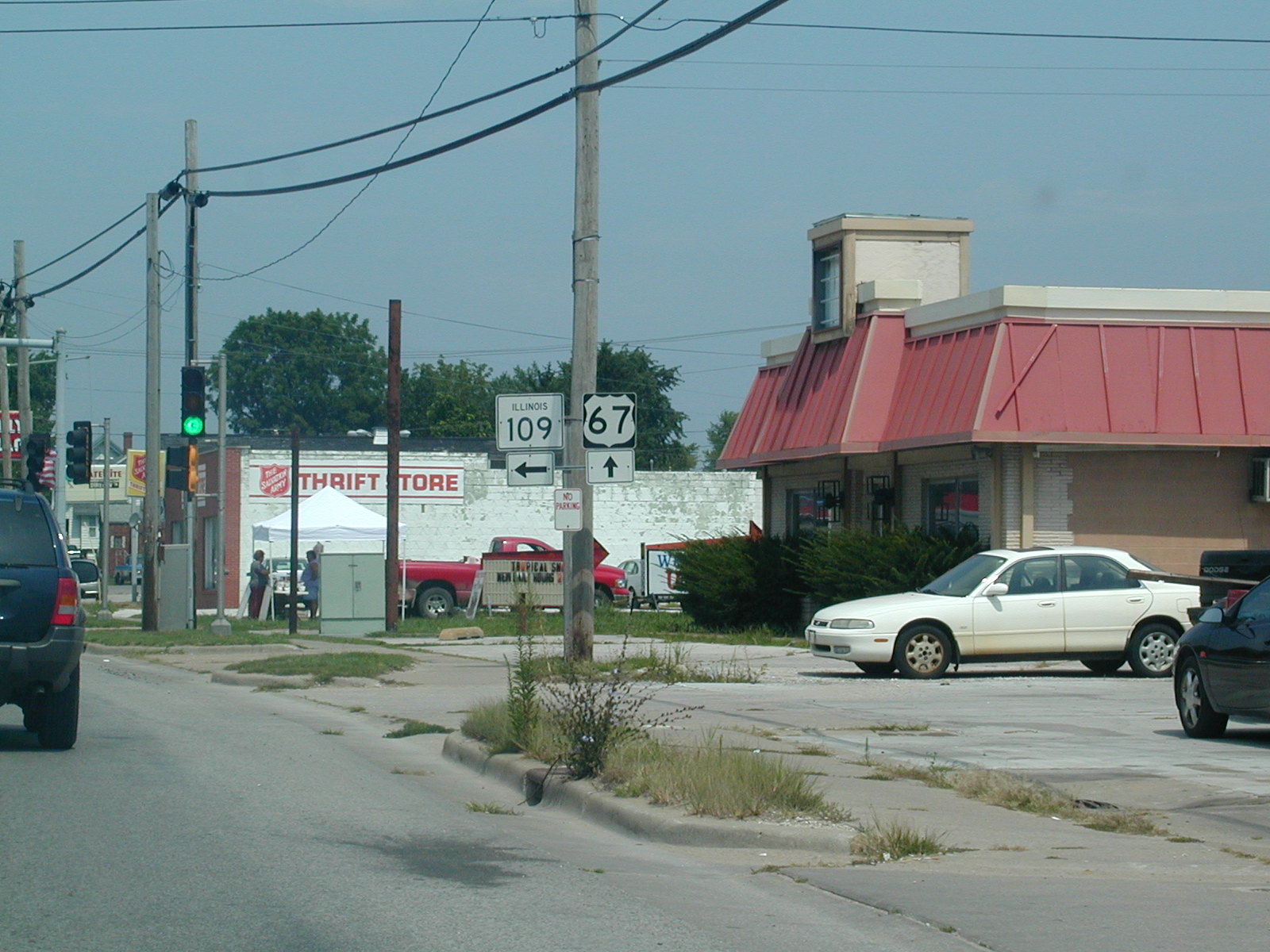
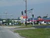
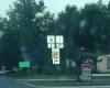 IL
1 and IL 15 come together in this larger city of Mt. Carmel, located on the
Wabash River. IL
1 and IL 15 come together in this larger city of Mt. Carmel, located on the
Wabash River. |
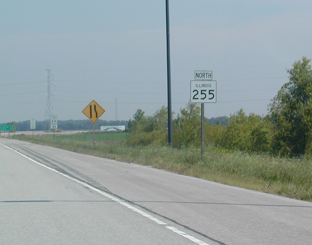
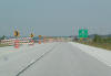
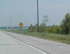 Skip
ahead a few hours, and here we are near the current northern end of the St.
Louis Beltway, which is known in these parts as IL 255. Construction
continues northward to IL 140, as you will see in subsequent photographs. Skip
ahead a few hours, and here we are near the current northern end of the St.
Louis Beltway, which is known in these parts as IL 255. Construction
continues northward to IL 140, as you will see in subsequent photographs. |
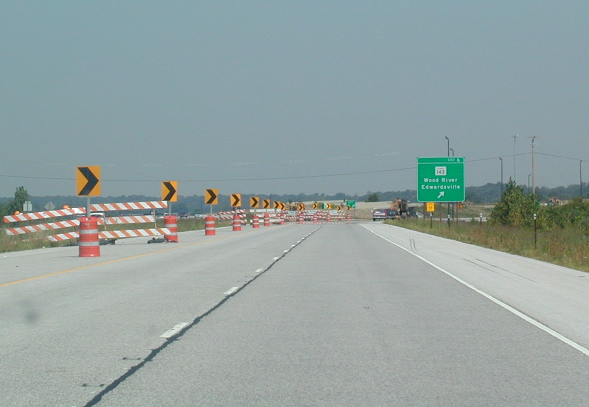
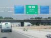
 Now
this is the actual current end of the line, at IL 143. Now
this is the actual current end of the line, at IL 143. |
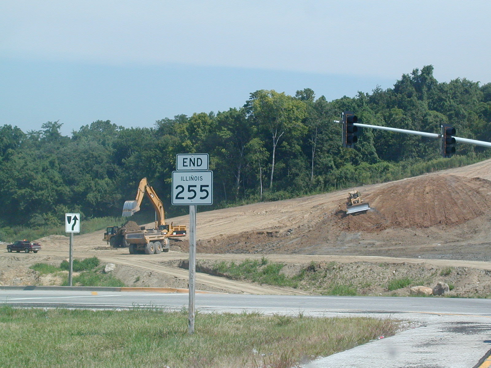
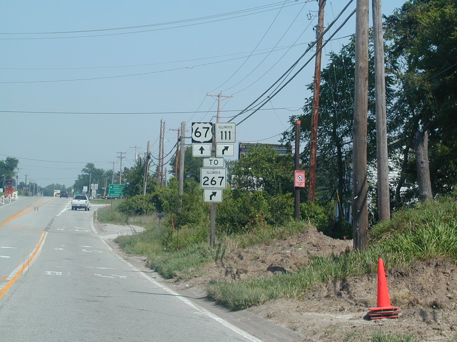
 End
IL 255 shield. The new highway will be interstate standard and connect
with the project to upgrade US 67 from Alton to Monmouth in Western
Illinois. End
IL 255 shield. The new highway will be interstate standard and connect
with the project to upgrade US 67 from Alton to Monmouth in Western
Illinois. |
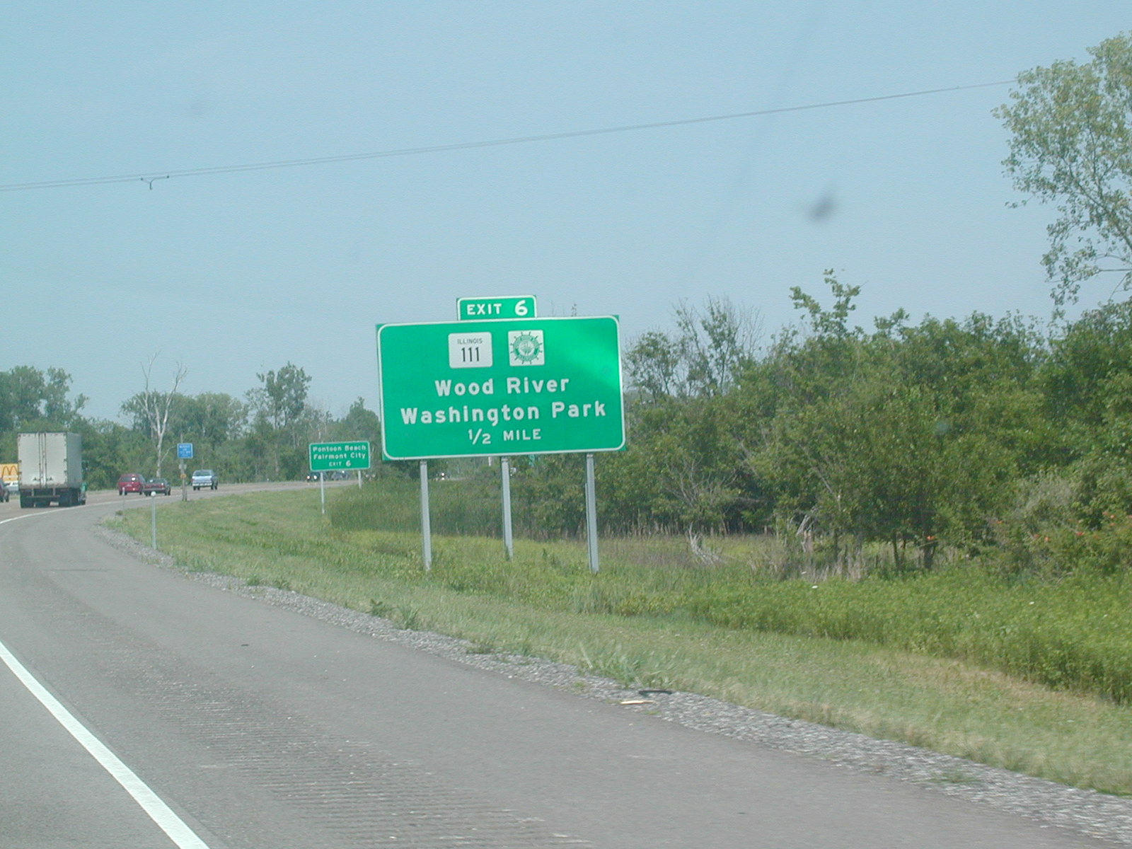
 This
is IL 143 WB at IL 111 in Wood River. Nothing much special here,
except a lot of Wal-Marty type stores and fast food. This
is IL 143 WB at IL 111 in Wood River. Nothing much special here,
except a lot of Wal-Marty type stores and fast food. |
 You
get an idea of what the road may look like once construction is finished in
this area. This is on IL 111 NB at IL 140 in Bethalto. The whole
town seemed overcome with the construction. You
get an idea of what the road may look like once construction is finished in
this area. This is on IL 111 NB at IL 140 in Bethalto. The whole
town seemed overcome with the construction. |
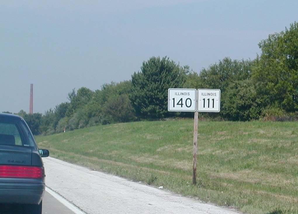
 IL
140 and IL 111 headed westward. IL
140 and IL 111 headed westward. |
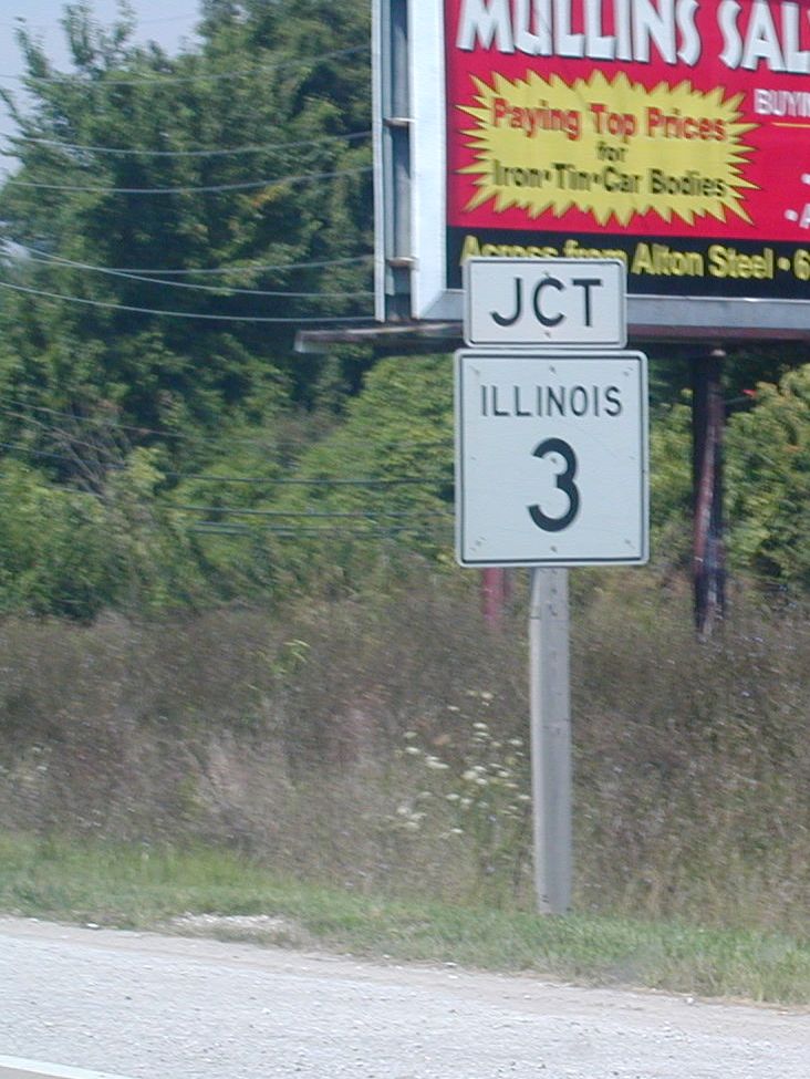
 And
we come across IL 3. And
we come across IL 3. |
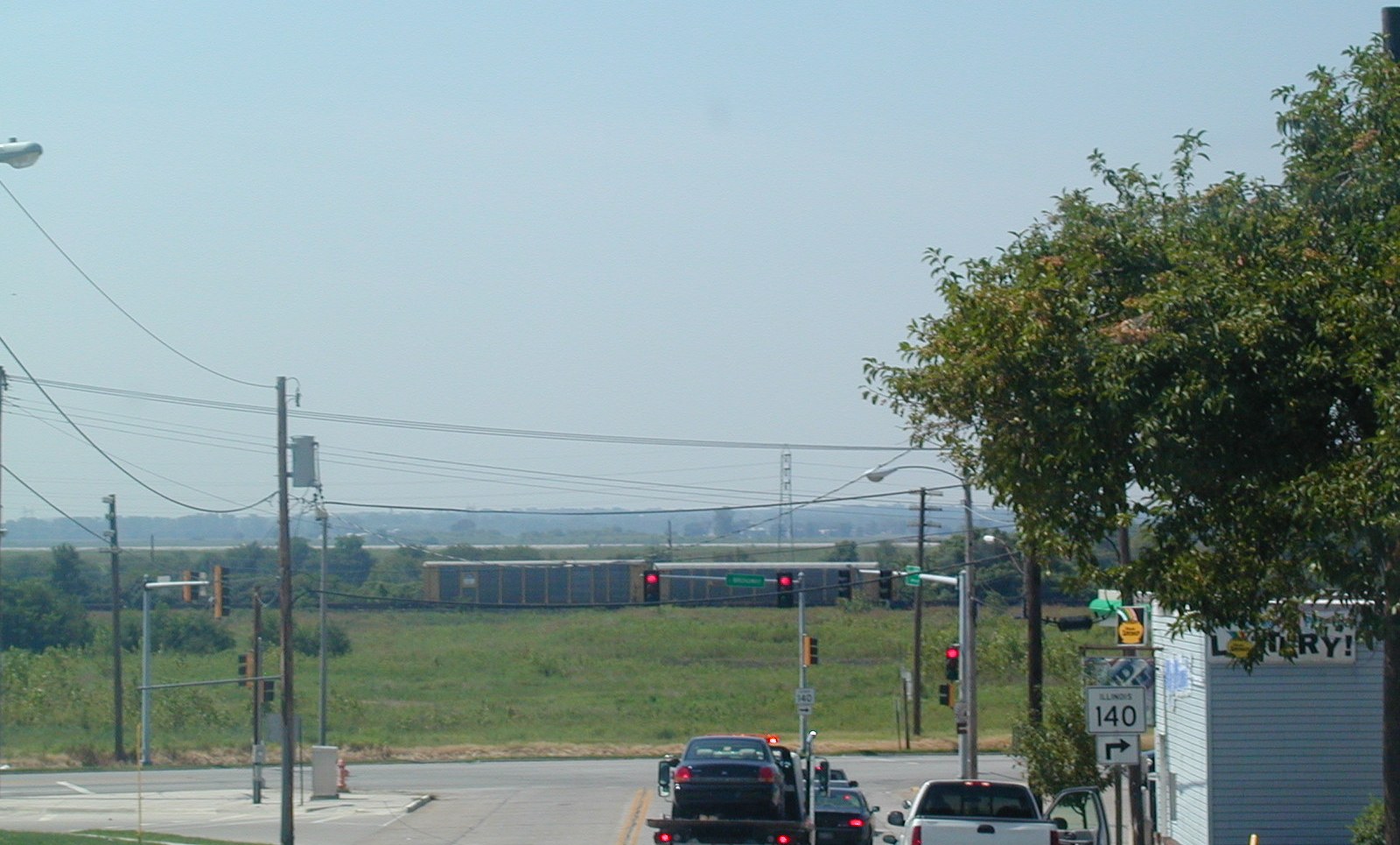
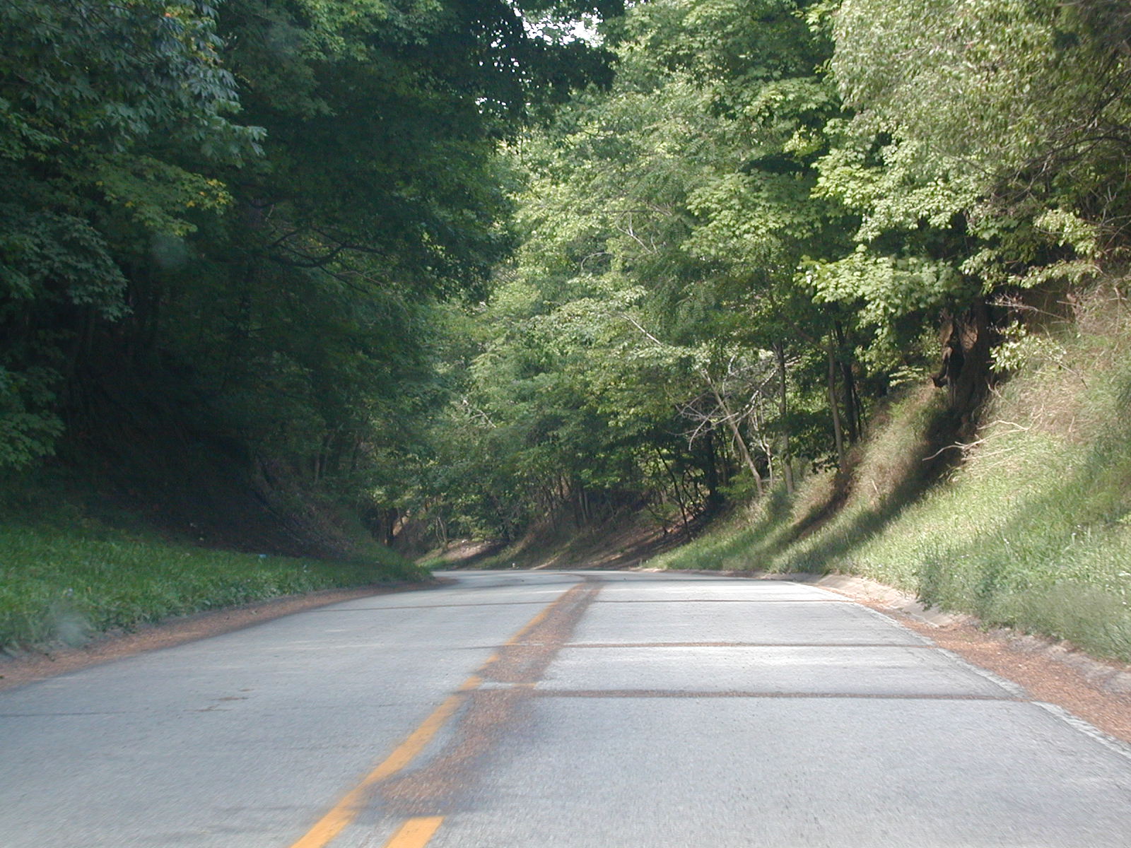
 This
is from IL 140 WB in the town of Alton. IL 140 comes into town on a
hill, then goes through the residential area, and after that, descends down
a large hill. From the top of that hill, you get a great view of the
Mississippi River, but I couldn't get situated enough, and this is what I
could get. It's not too bad-- that silver strip behind the train is
the Mississippi. This
is from IL 140 WB in the town of Alton. IL 140 comes into town on a
hill, then goes through the residential area, and after that, descends down
a large hill. From the top of that hill, you get a great view of the
Mississippi River, but I couldn't get situated enough, and this is what I
could get. It's not too bad-- that silver strip behind the train is
the Mississippi. |
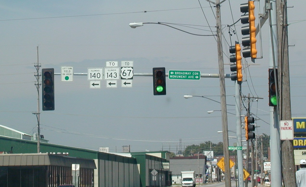
 Illinois
highway shields on a stoplight mast in Alton. Illinois
highway shields on a stoplight mast in Alton. |
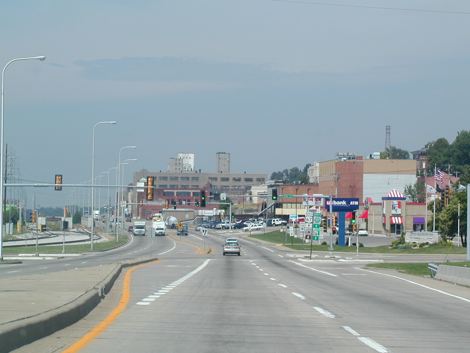
 This
is the main commercial part of Alton from US 67 northbound. The river
is to the left and the River Road continues to IL 100 and then follows that
as US 67 splits to the north in a few miles. This
is the main commercial part of Alton from US 67 northbound. The river
is to the left and the River Road continues to IL 100 and then follows that
as US 67 splits to the north in a few miles. |
 The
first real stop of the trip was in Moweaqua. This is on the west side
of town at the coal mine memorial, which honors those who died in the
Christmas Eve 1932 disaster at this site when the mine collapsed and 54
people died. The actual memorial is where the bushes are in the center
of the photo.
The
first real stop of the trip was in Moweaqua. This is on the west side
of town at the coal mine memorial, which honors those who died in the
Christmas Eve 1932 disaster at this site when the mine collapsed and 54
people died. The actual memorial is where the bushes are in the center
of the photo. Sorry
about the picture, I don't know what happened. Either way, this is a
close-up of the actual memorial. The part that is all screwy is just
bushes anyway.
Sorry
about the picture, I don't know what happened. Either way, this is a
close-up of the actual memorial. The part that is all screwy is just
bushes anyway. 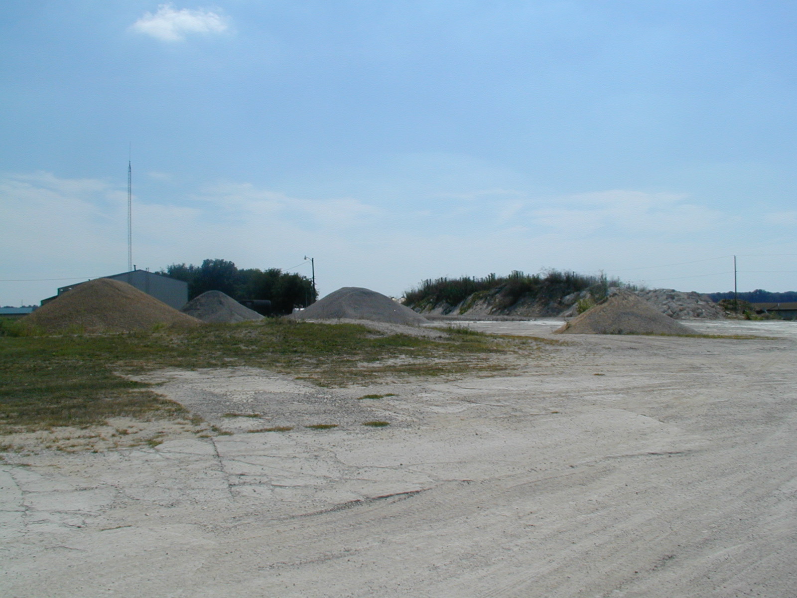 As
far as I can guess, this is just about where the mine was. They don't
tell you exactly where it was, and it closed in 1935, so it's pretty much
impossible to tell. Now it's a gravel pit for the Poggenpohl Redi-Mix
company that is located at the site.
As
far as I can guess, this is just about where the mine was. They don't
tell you exactly where it was, and it closed in 1935, so it's pretty much
impossible to tell. Now it's a gravel pit for the Poggenpohl Redi-Mix
company that is located at the site. A
very pretty car sits outside the coal mine museum in Moweaqua. A
volunteer named Bruce was there and quick to tell me everything I needed to
know about the history of Moweaqua's coal mine. The museum was kind of
corny, but at the same time very interesting, when listening to Bruce.
A
very pretty car sits outside the coal mine museum in Moweaqua. A
volunteer named Bruce was there and quick to tell me everything I needed to
know about the history of Moweaqua's coal mine. The museum was kind of
corny, but at the same time very interesting, when listening to Bruce. This
is the capitol building of Illinois' second capital Vandalia. The
place was okay, I guess, as it did have original wood floors on the second
level. Seems that the only important thing that happened here was that
Abe Lincoln successfully argued to get the capital changed to Springfield.
This
is the capitol building of Illinois' second capital Vandalia. The
place was okay, I guess, as it did have original wood floors on the second
level. Seems that the only important thing that happened here was that
Abe Lincoln successfully argued to get the capital changed to Springfield.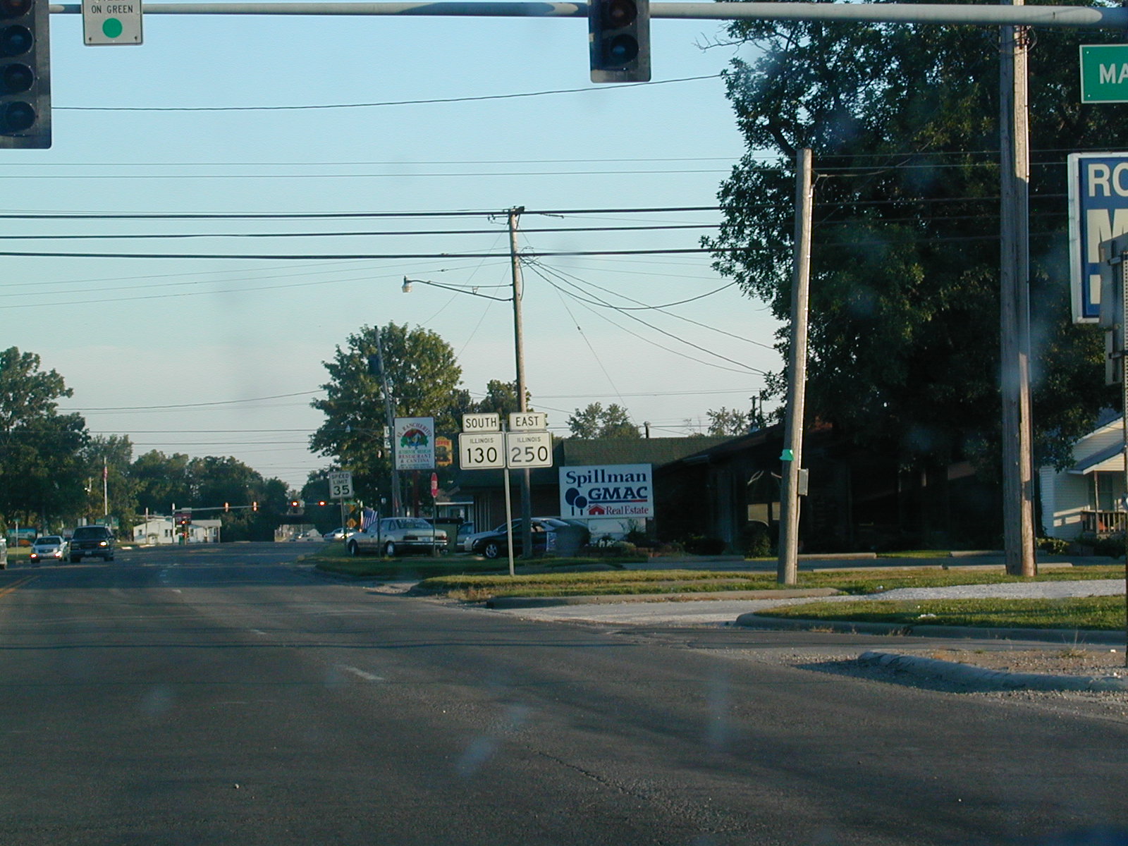 Now
on over to Olney, where IL 130 and IL 250 hook up. There wasn't too
much to see in Olney.
Now
on over to Olney, where IL 130 and IL 250 hook up. There wasn't too
much to see in Olney. Yes,
US 50 and IL 250 are signed together on this recently resurfaced highway.
IL 250 is the designation given to the old alignment of the federal highway
from west of Olney to east of Lawrenceville.
Yes,
US 50 and IL 250 are signed together on this recently resurfaced highway.
IL 250 is the designation given to the old alignment of the federal highway
from west of Olney to east of Lawrenceville.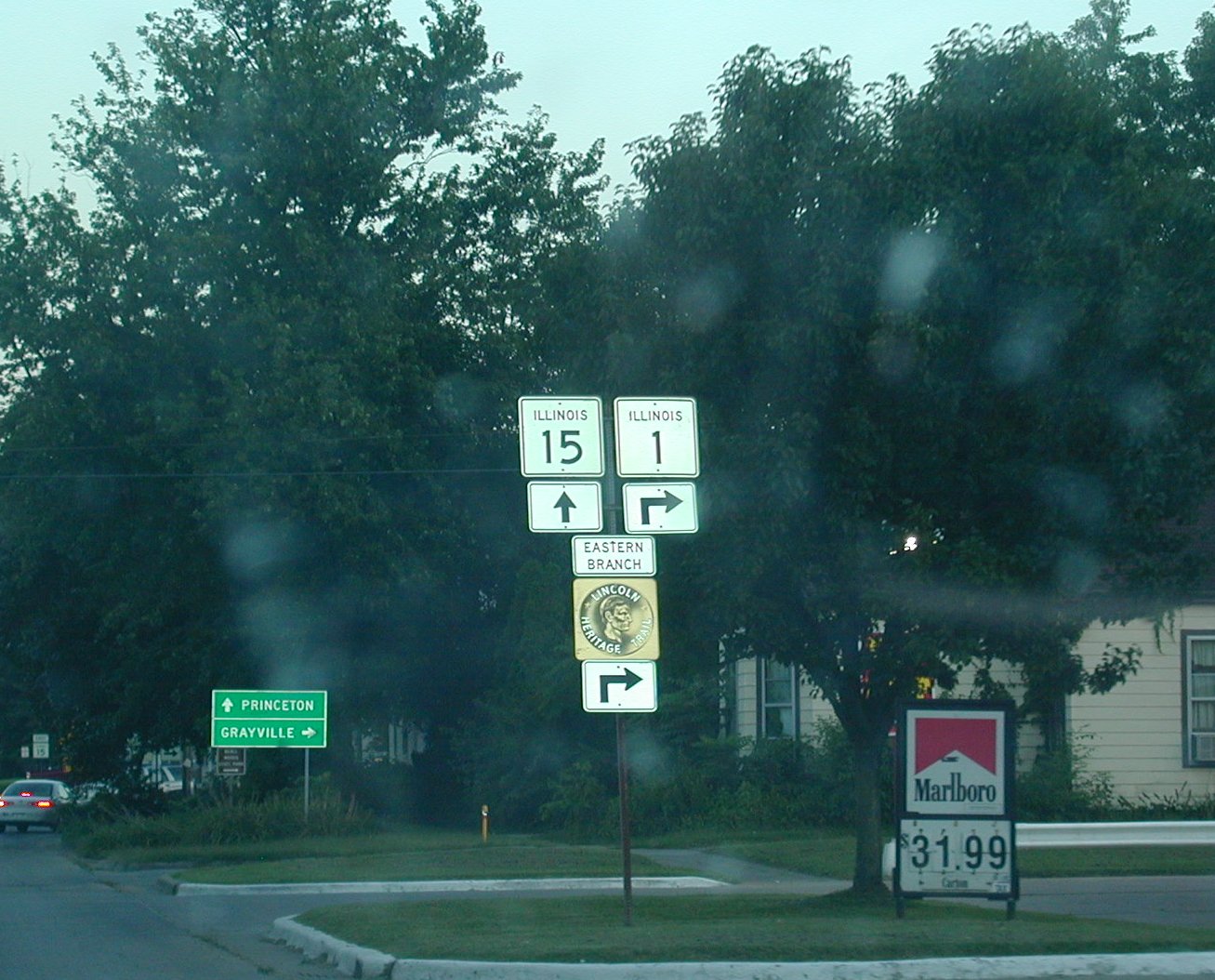 IL
1 and IL 15 come together in this larger city of Mt. Carmel, located on the
Wabash River.
IL
1 and IL 15 come together in this larger city of Mt. Carmel, located on the
Wabash River.