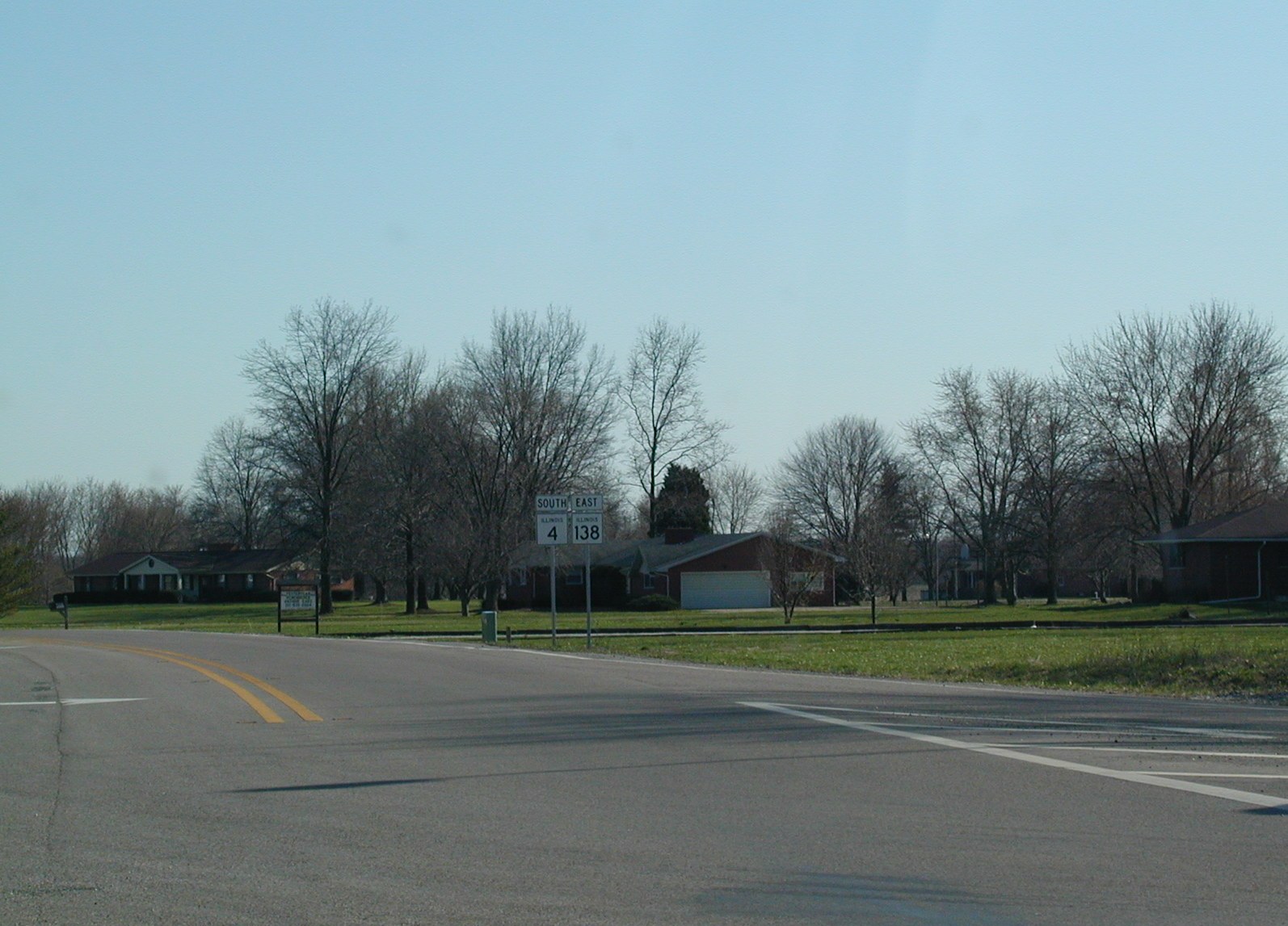
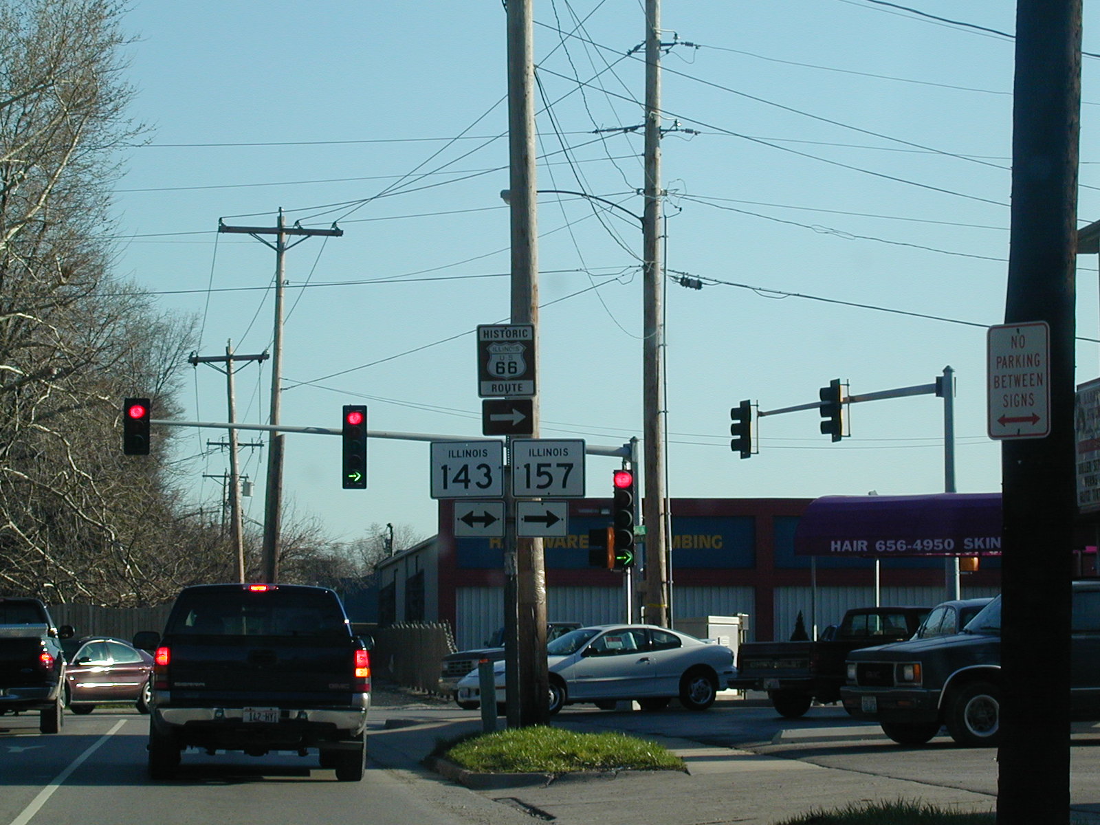
 Route
66 follows IL 4 southward to just outside the St. Louis area. This pic
is just south of Springfield near Auburn.
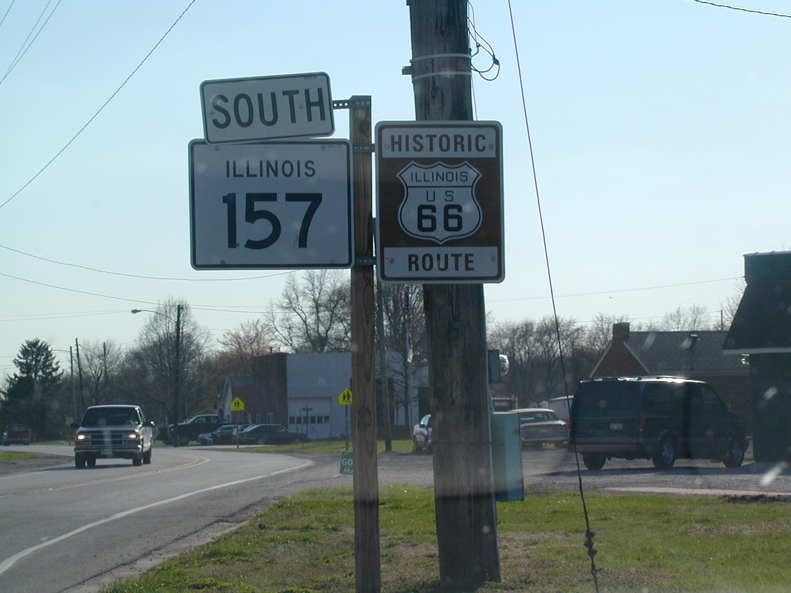
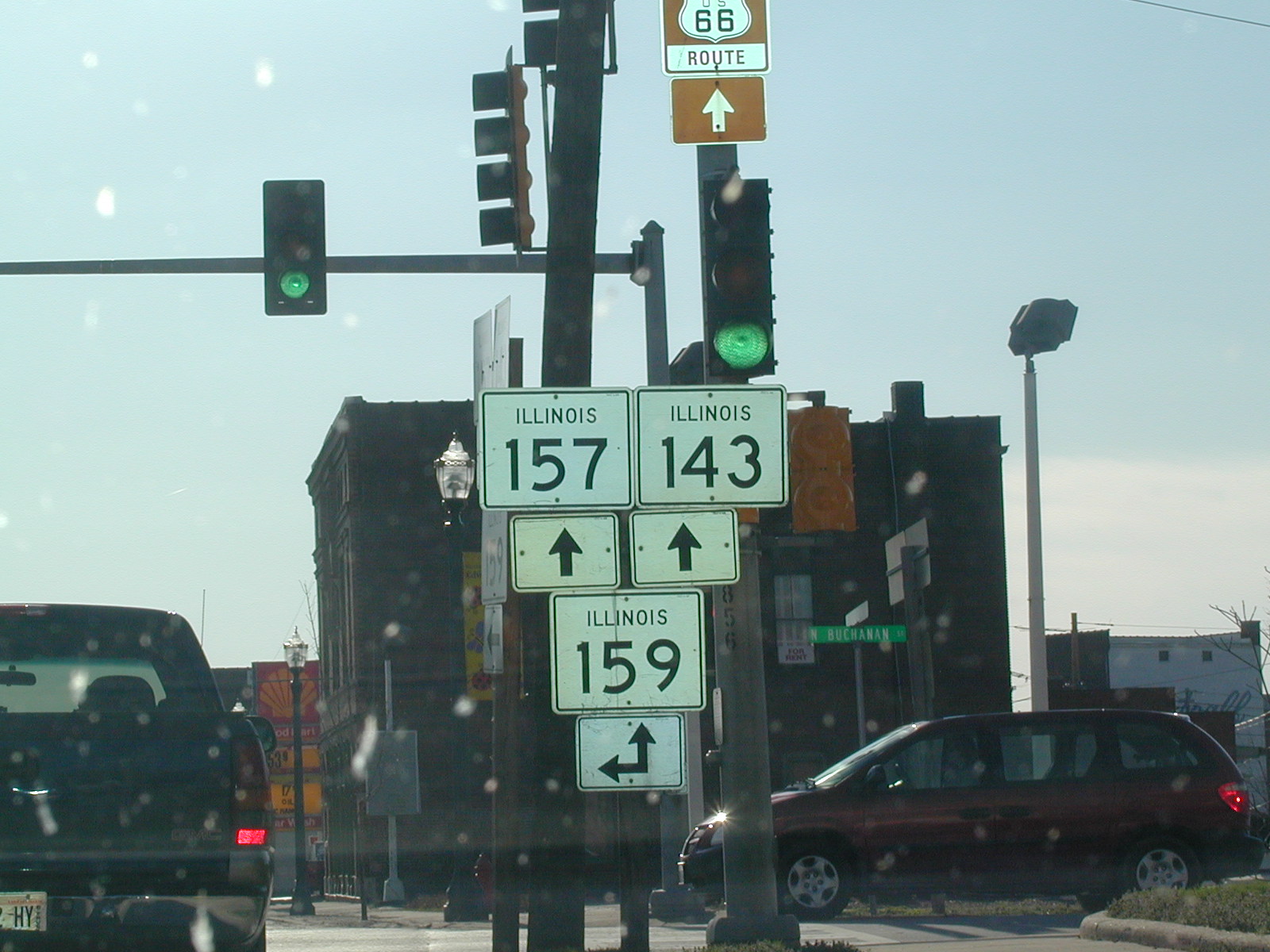
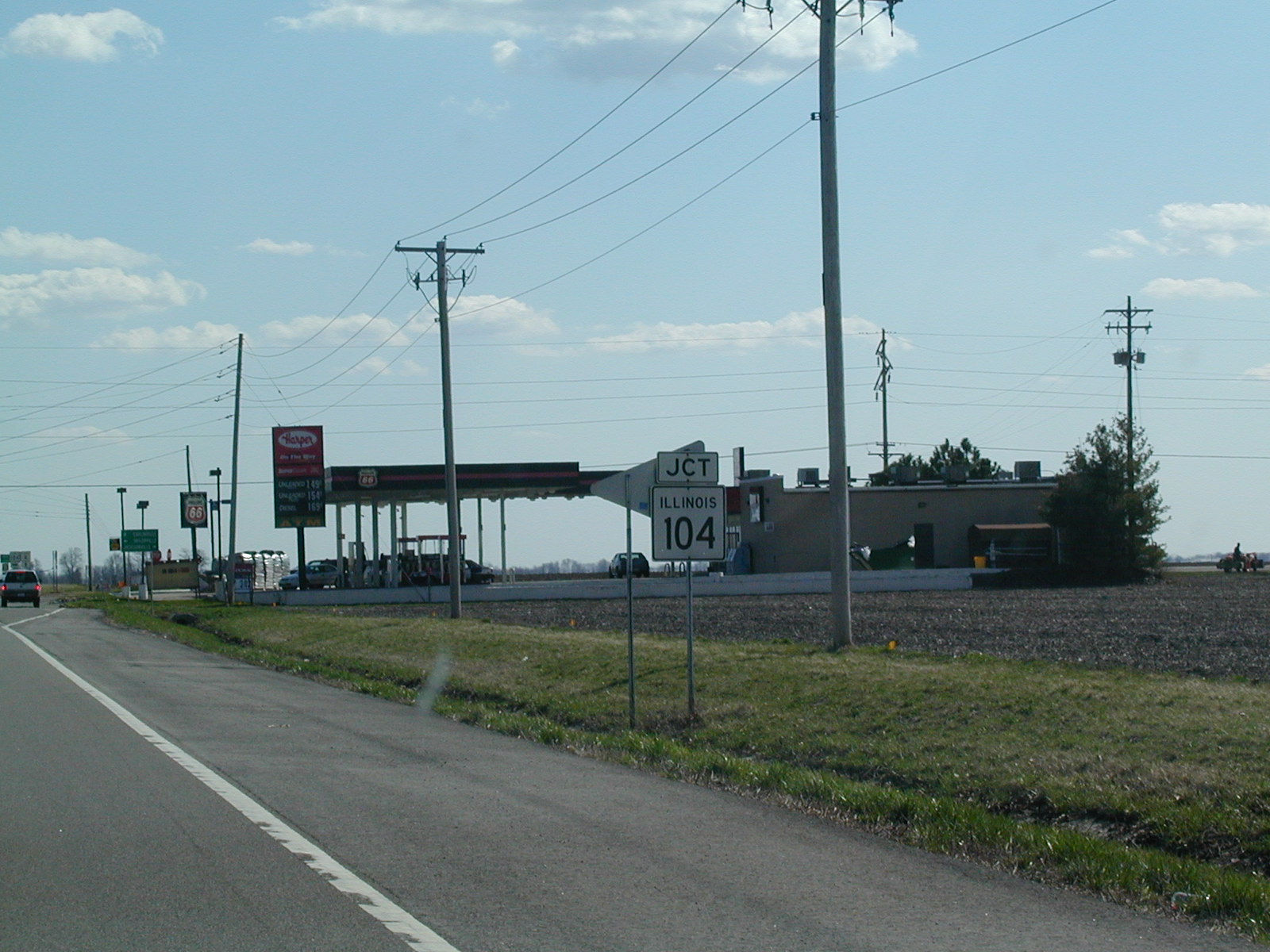
Route
66 follows IL 4 southward to just outside the St. Louis area. This pic
is just south of Springfield near Auburn. 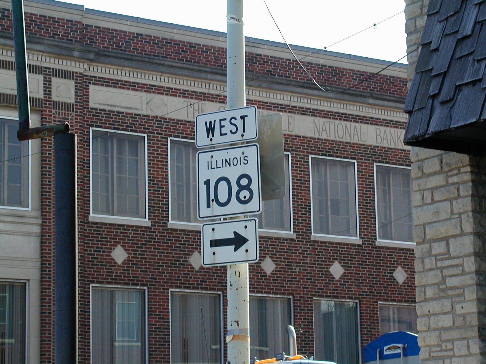 At
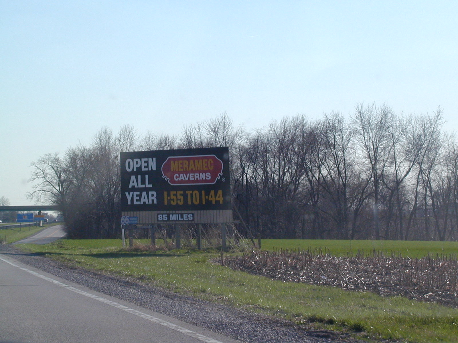
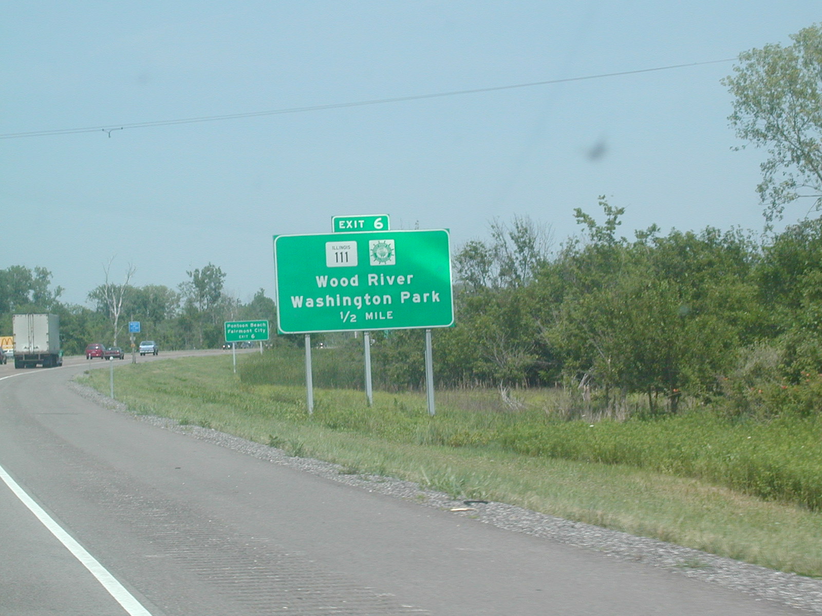
Carlinville, IL 4 connects with IL 108 shortly. Carlinville has a
courthouse and a nice-looking downtown.
At
Carlinville, IL 4 connects with IL 108 shortly. Carlinville has a
courthouse and a nice-looking downtown.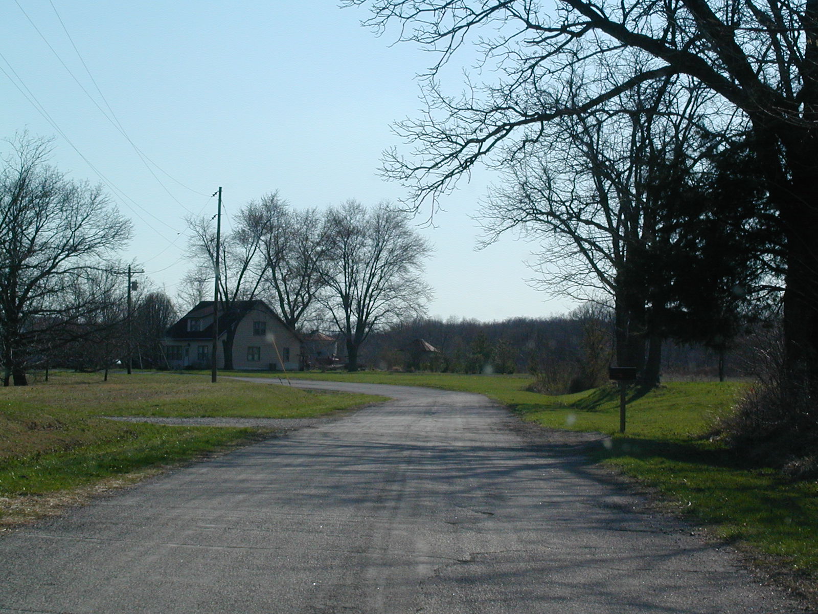 An
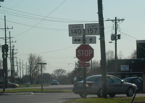
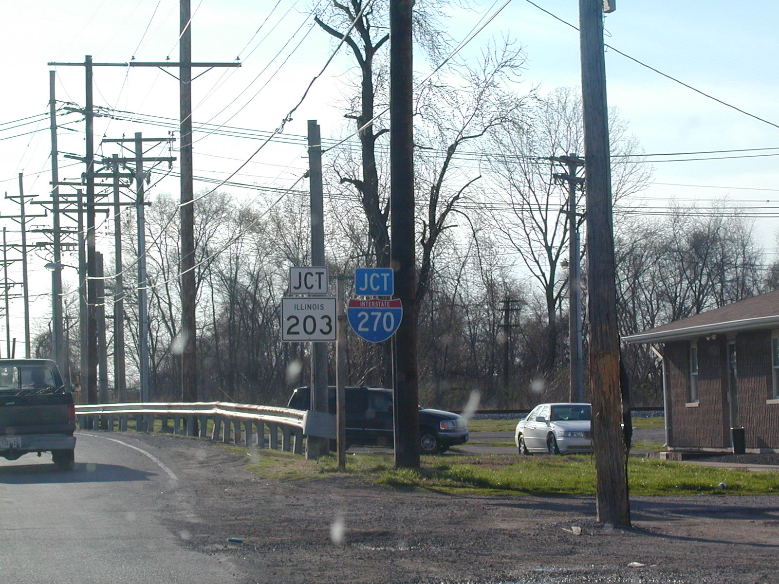
old alignment of Route 66 splits off of IL 4 south of Carlinville.
An
old alignment of Route 66 splits off of IL 4 south of Carlinville.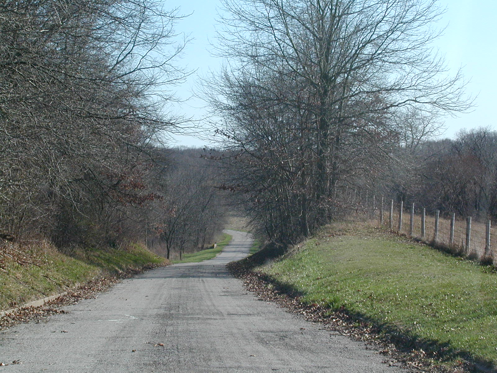 Still
on the old road.
Still
on the old road.