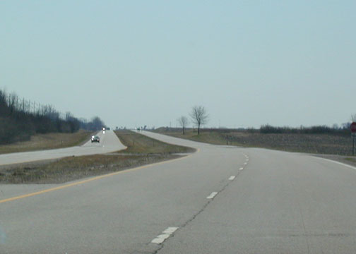
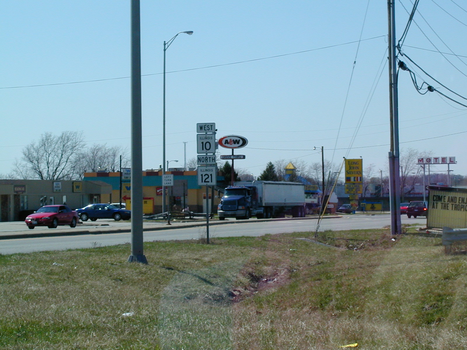
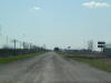
 There
isn't a whole lot except fast food stuff on this stretch of IL 10/ IL 121. There
isn't a whole lot except fast food stuff on this stretch of IL 10/ IL 121. |
 This is the abandoned Route 66 in Williamsville.
When I went through the town in March 2003, I thought there wasn't much
there. But I recently got an e-mail from a resident who says the town
is actually "alive and growing" at 1,100 in population. The town
itself is behind the camera and to the left, a part I didn't explore on my
trip. The interstate is just past those buildings, which were gas
stations about 50-60 years ago. This is the abandoned Route 66 in Williamsville.
When I went through the town in March 2003, I thought there wasn't much
there. But I recently got an e-mail from a resident who says the town
is actually "alive and growing" at 1,100 in population. The town
itself is behind the camera and to the left, a part I didn't explore on my
trip. The interstate is just past those buildings, which were gas
stations about 50-60 years ago. |
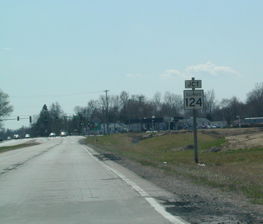
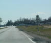 At
Sherman, Route 66 crosses IL 124, which is quite short, and heads west a few
miles to IL 29 north of Springfield. At
Sherman, Route 66 crosses IL 124, which is quite short, and heads west a few
miles to IL 29 north of Springfield. |
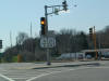 And
IL 4 begins at IL 29 in Springfield, by Route 66. This is called the Veterans
Parkway. And
IL 4 begins at IL 29 in Springfield, by Route 66. This is called the Veterans
Parkway. |
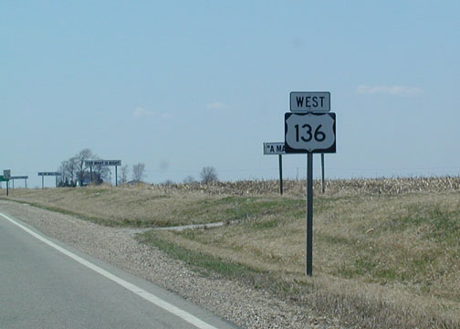 Route
66 follows US 136 westward for a 1/4 mile or so before heading back south.
Those signs in the background are the ridiculous organization GunsSaveLife's
advertisements that have popped up all over Illinois.
Route
66 follows US 136 westward for a 1/4 mile or so before heading back south.
Those signs in the background are the ridiculous organization GunsSaveLife's
advertisements that have popped up all over Illinois.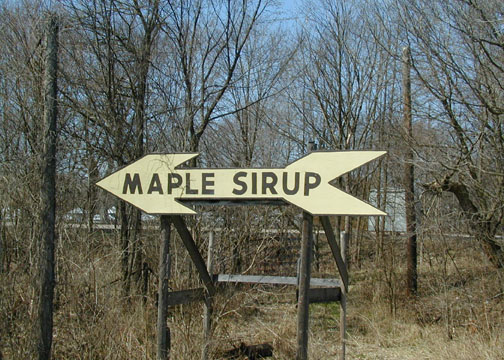 Which
way to sweet, delicious goo? Turn left for Funk's Grove! They
spell sirup with an "i" because that's the way Webster had it originally.
Or something like that.
Which
way to sweet, delicious goo? Turn left for Funk's Grove! They
spell sirup with an "i" because that's the way Webster had it originally.
Or something like that.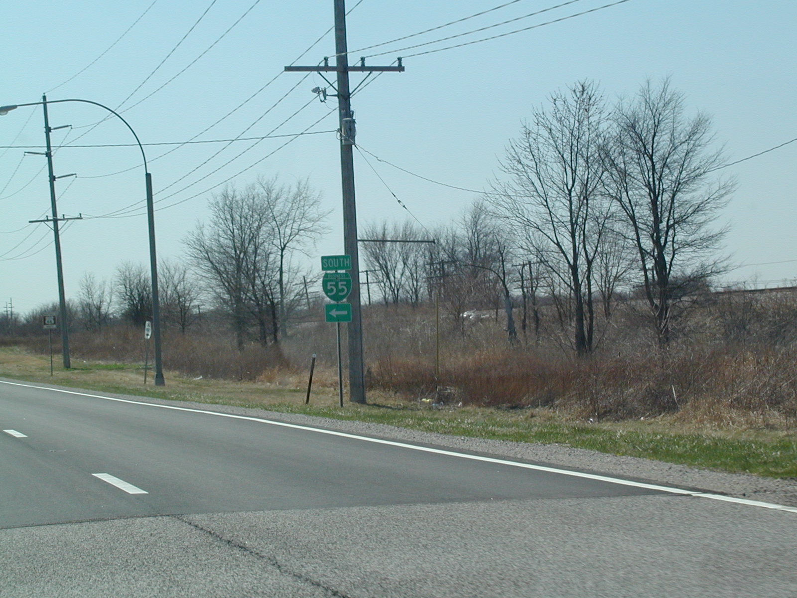 BL
I-55 turns left, but the Mother Road continues straight ahead north of
Lincoln. This is the start of the Lincoln bypass.
BL
I-55 turns left, but the Mother Road continues straight ahead north of
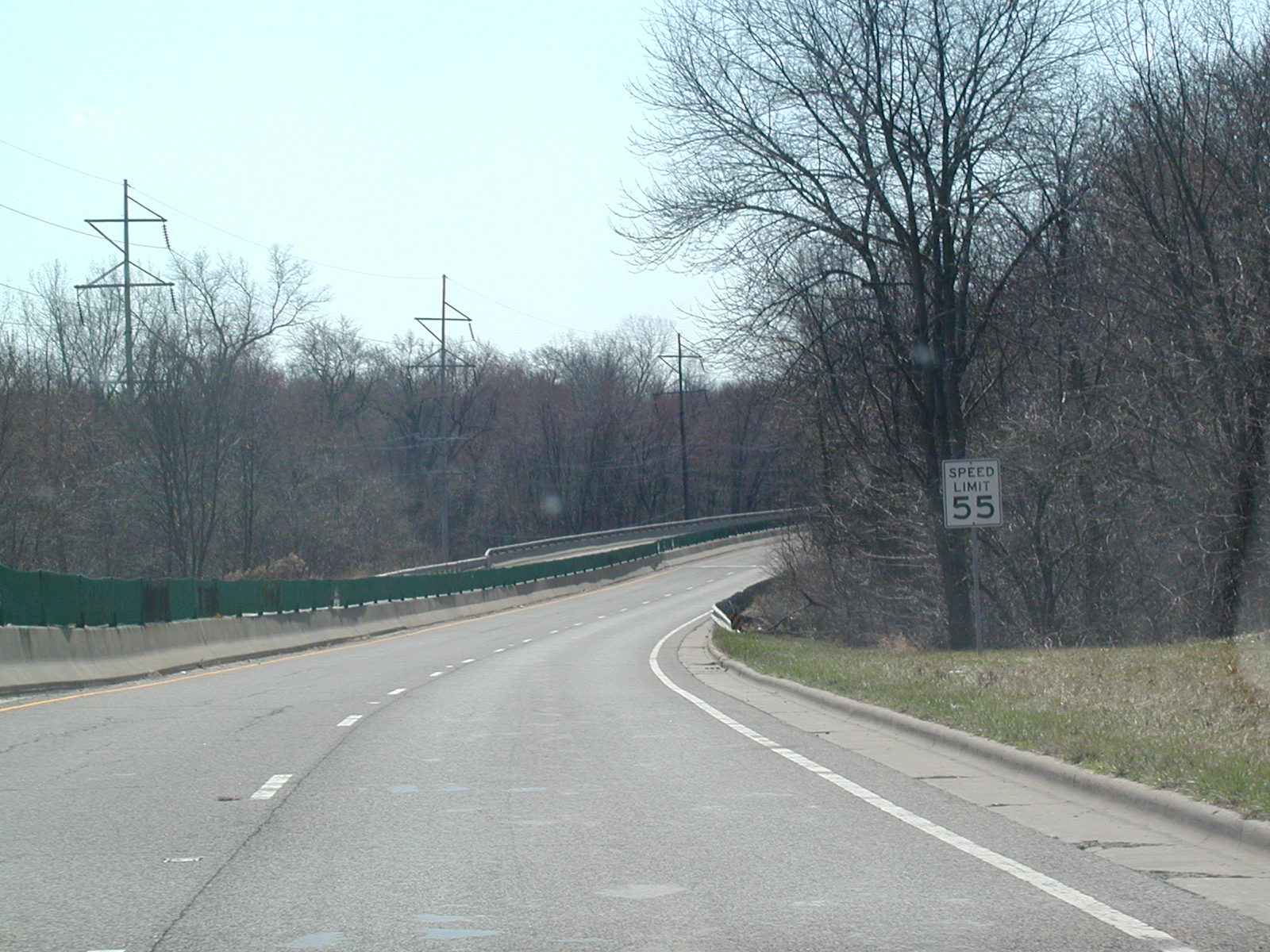
Lincoln. This is the start of the Lincoln bypass. This
is what the old road looks like as it bypasses the city of Lincoln. It
is a 55 mph speed limit and very little traffic, obviously, as I-55 bypasses
Lincoln as well.
This
is what the old road looks like as it bypasses the city of Lincoln. It
is a 55 mph speed limit and very little traffic, obviously, as I-55 bypasses
Lincoln as well.