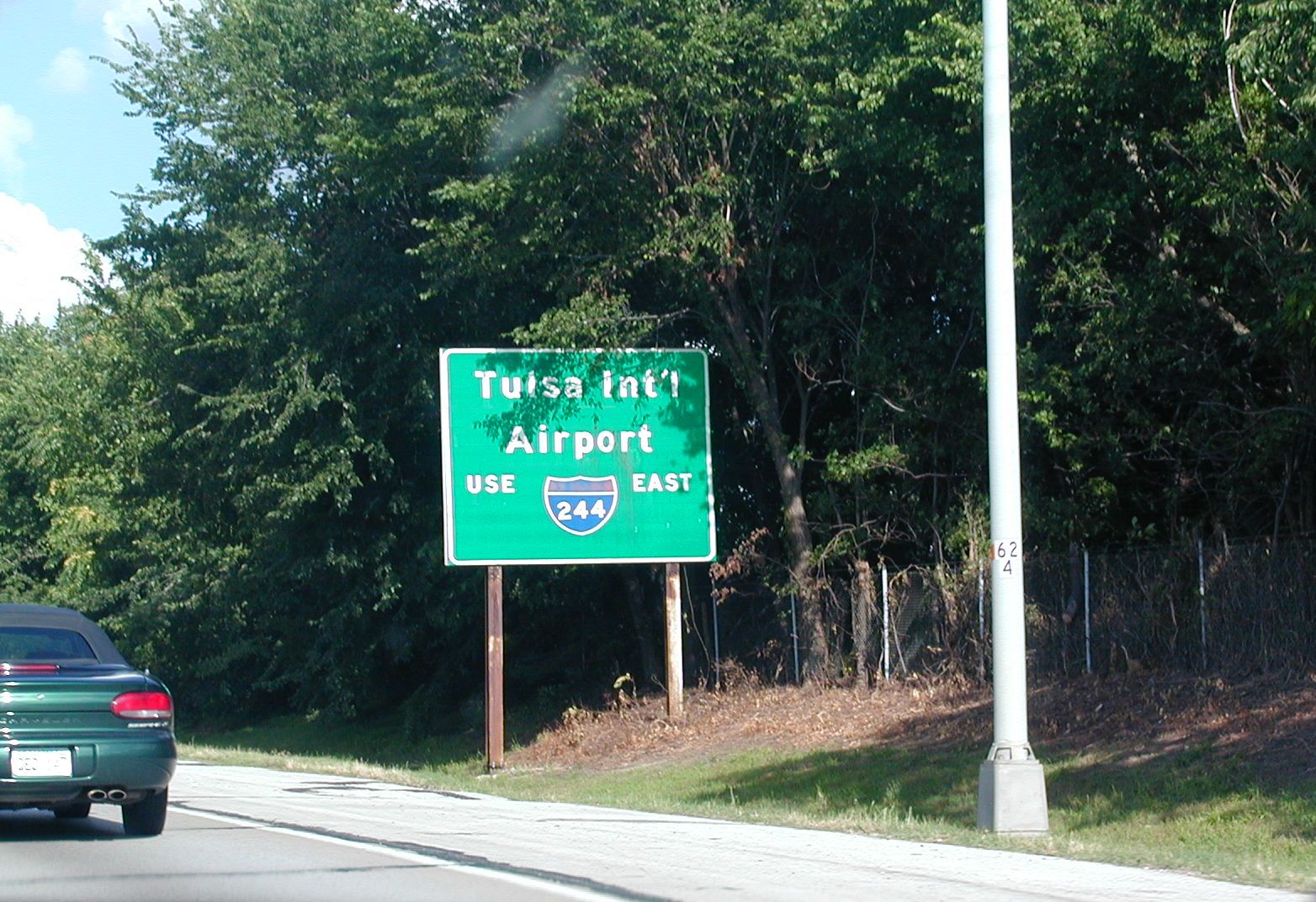
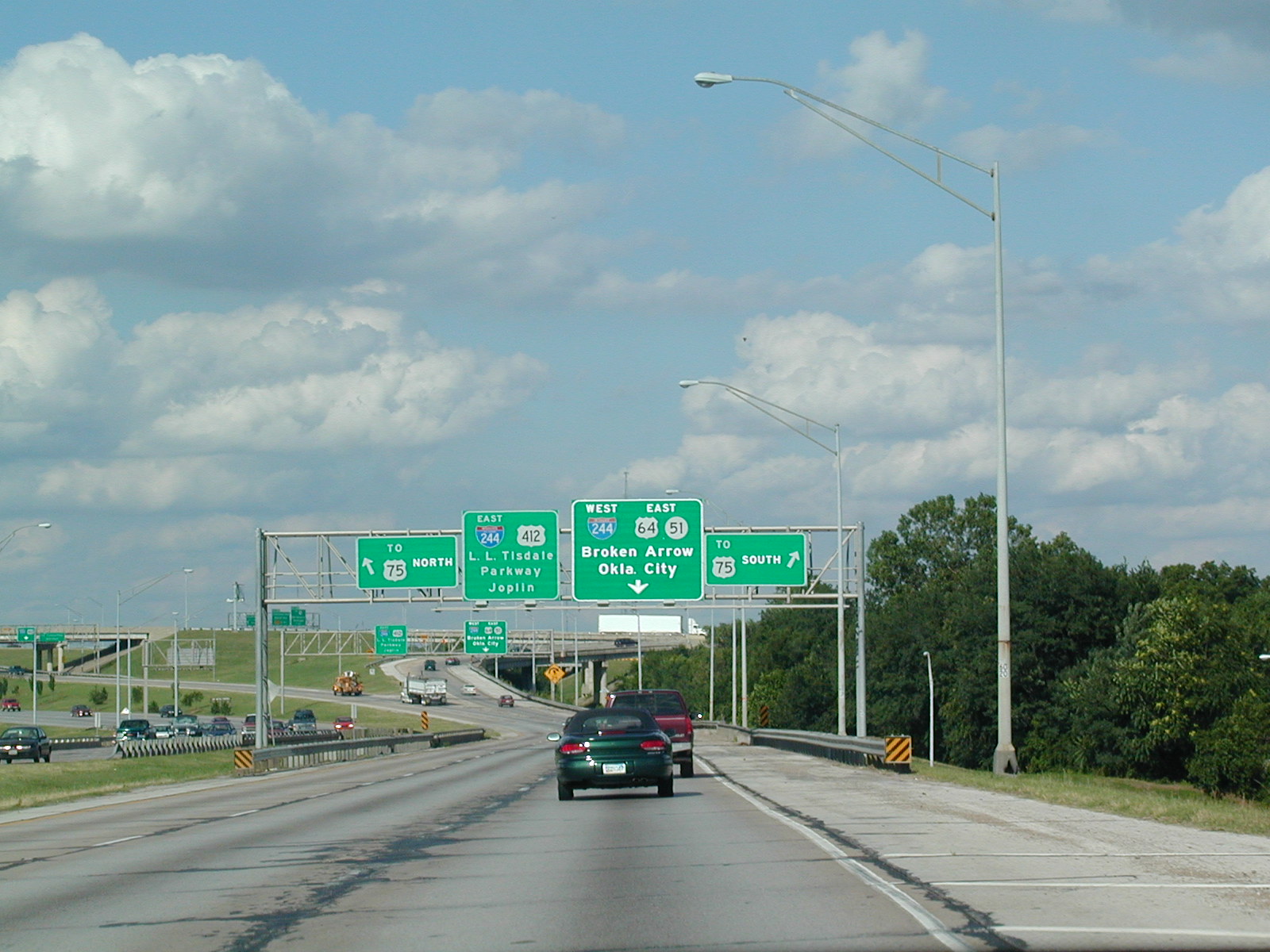
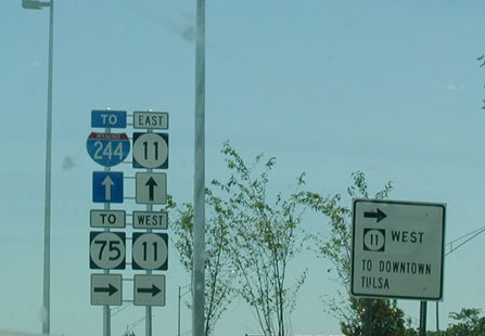
 Getting
out of the Tulsa International Airport, you come across these signs that
incorrectly point you to OK 75. It should be US 75.
Getting
out of the Tulsa International Airport, you come across these signs that
incorrectly point you to OK 75. It should be US 75. Southbound
on the former Mingo Valley Expy, which is US 169. US 64 joins the
expressway southbound here and OK 51 crosses it. Turn on OK 51 to get
to Muskogee.
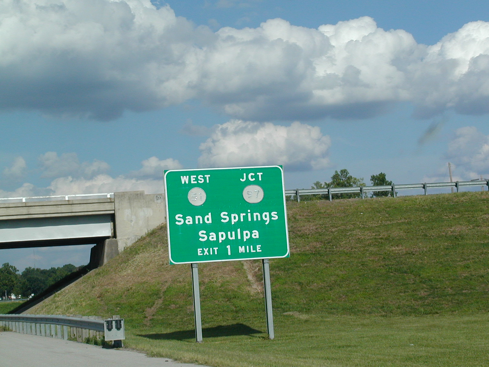
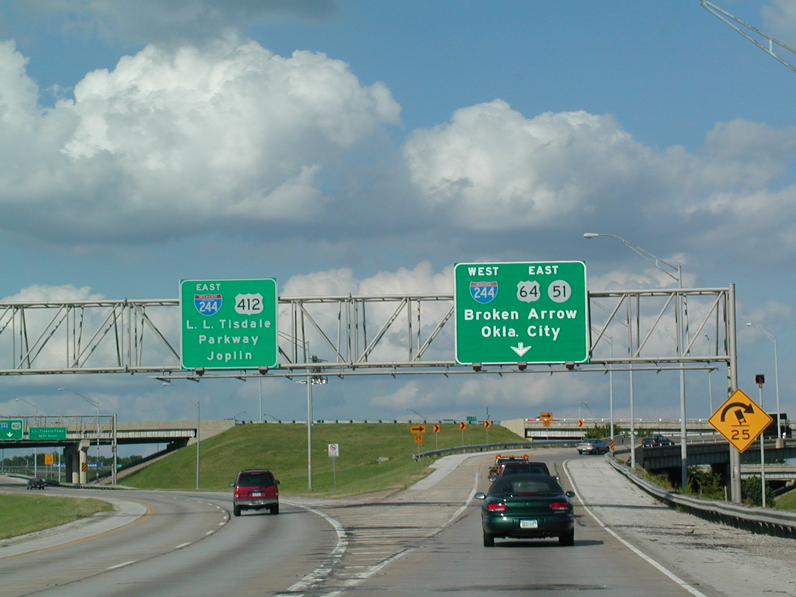
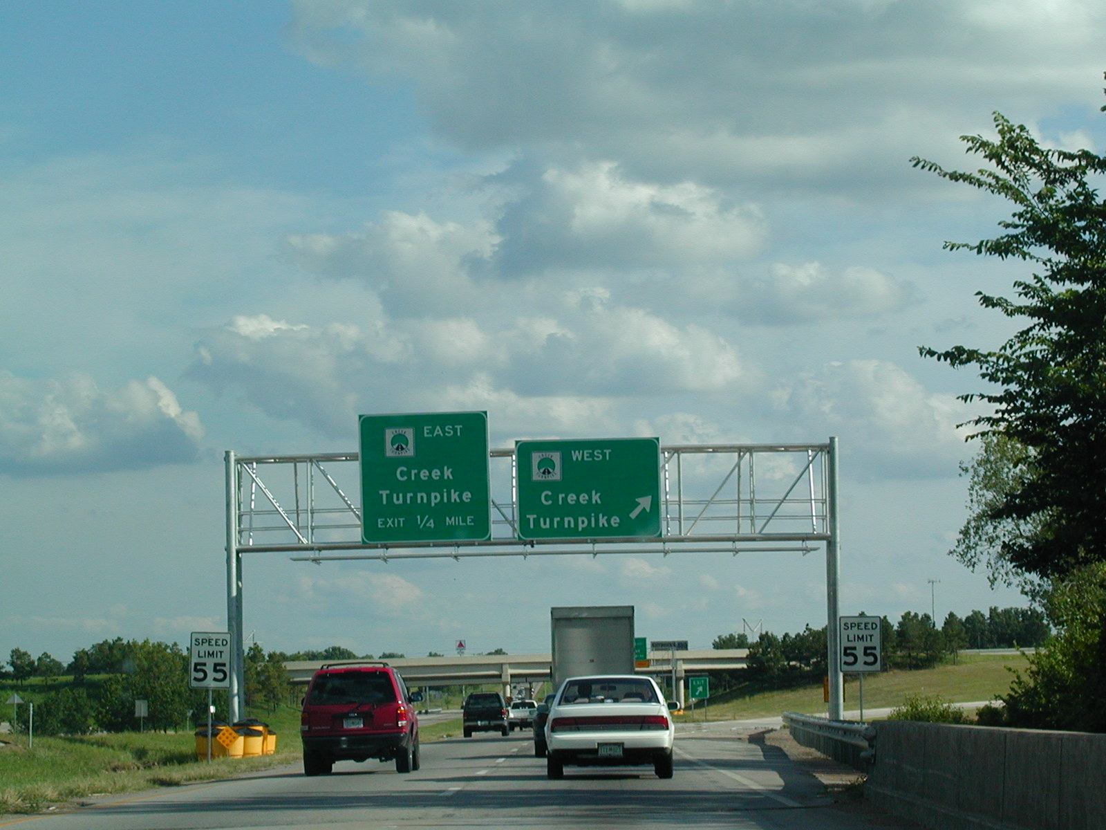
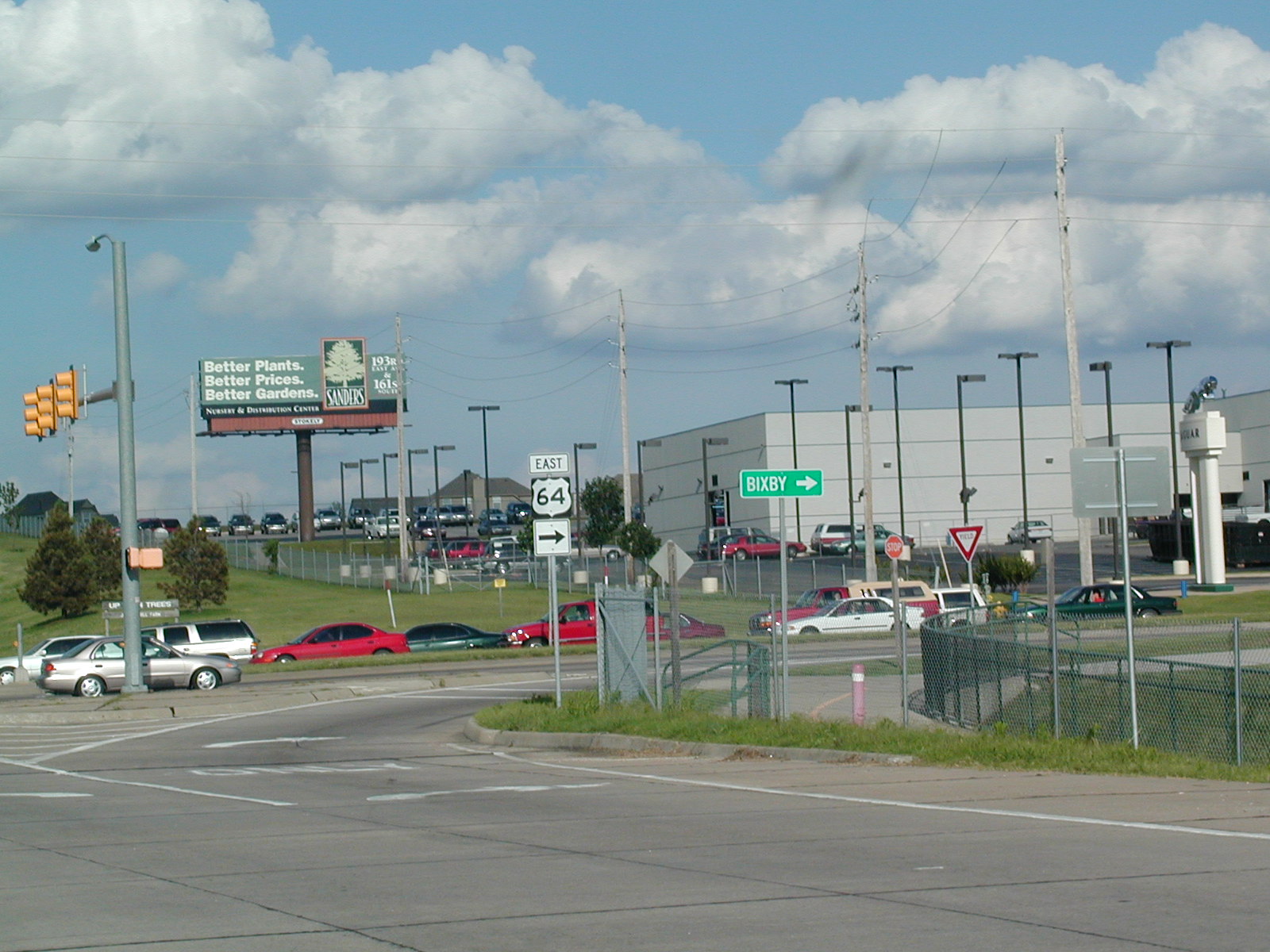
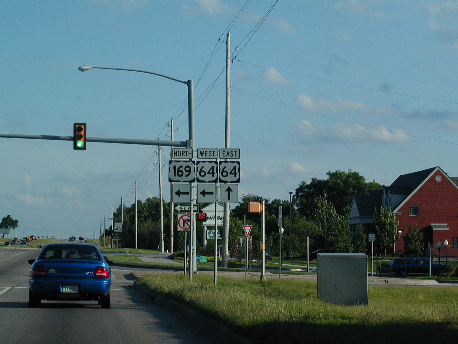
Southbound
on the former Mingo Valley Expy, which is US 169. US 64 joins the
expressway southbound here and OK 51 crosses it. Turn on OK 51 to get
to Muskogee. South
on US 75, the Beeline or Okmulgee Expy, at I-44. You can still see the
old US 66 shields on the BGSs in between the I-44 and OK 66 shields.
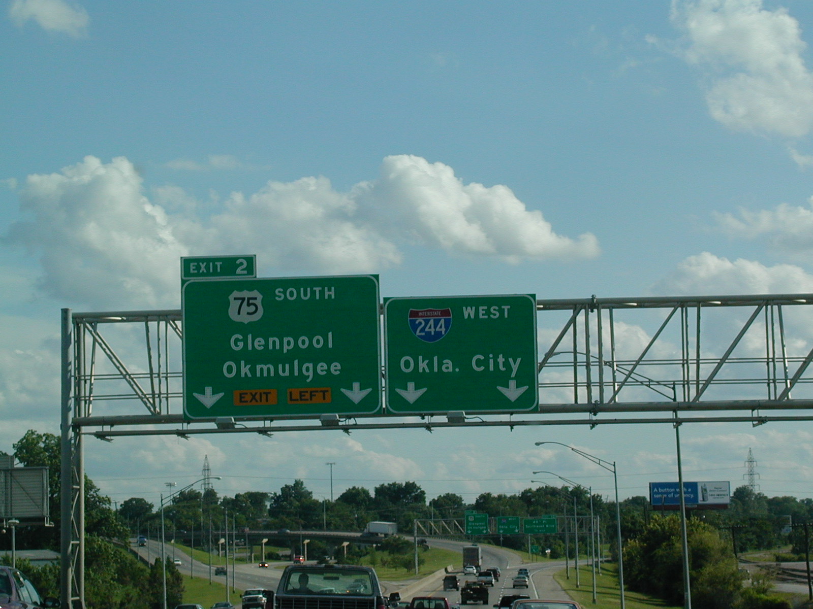
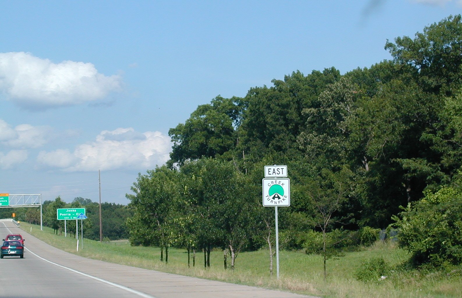
South
on US 75, the Beeline or Okmulgee Expy, at I-44. You can still see the
old US 66 shields on the BGSs in between the I-44 and OK 66 shields.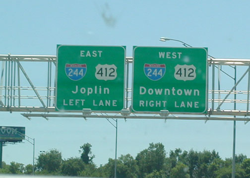 Coming
up on I-244 and US 412 from US 75 NB.
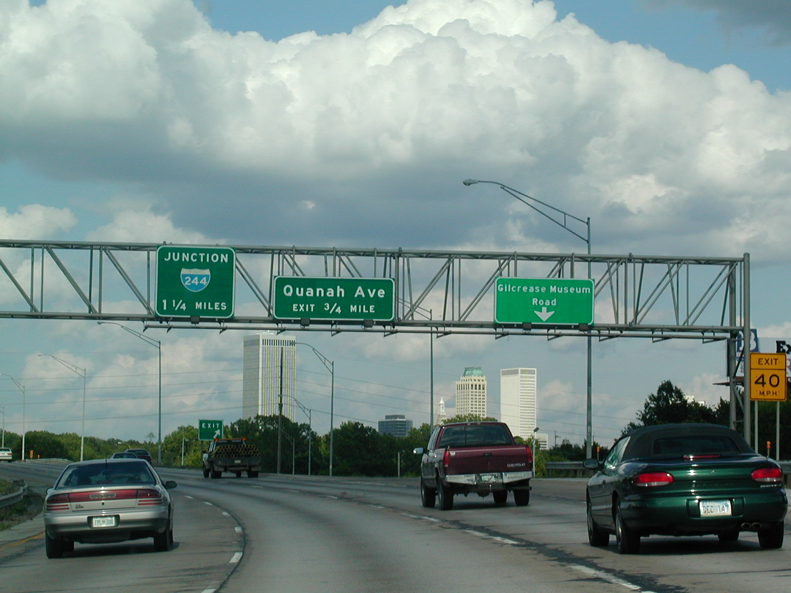
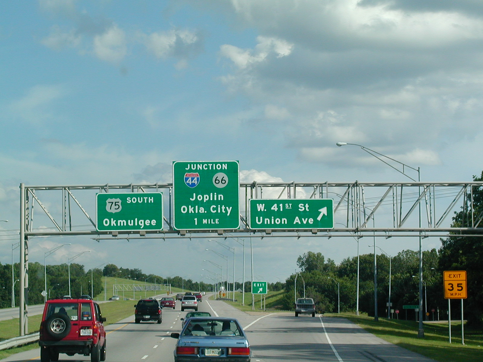
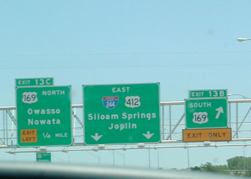
Coming
up on I-244 and US 412 from US 75 NB.