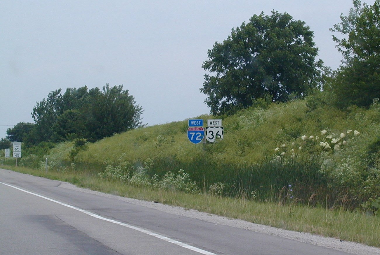
 I-72
and US 36 west of Springfield, IL. I-72 was commissioned on this
stretch of highway in 1995.
I-72
and US 36 west of Springfield, IL. I-72 was commissioned on this
stretch of highway in 1995.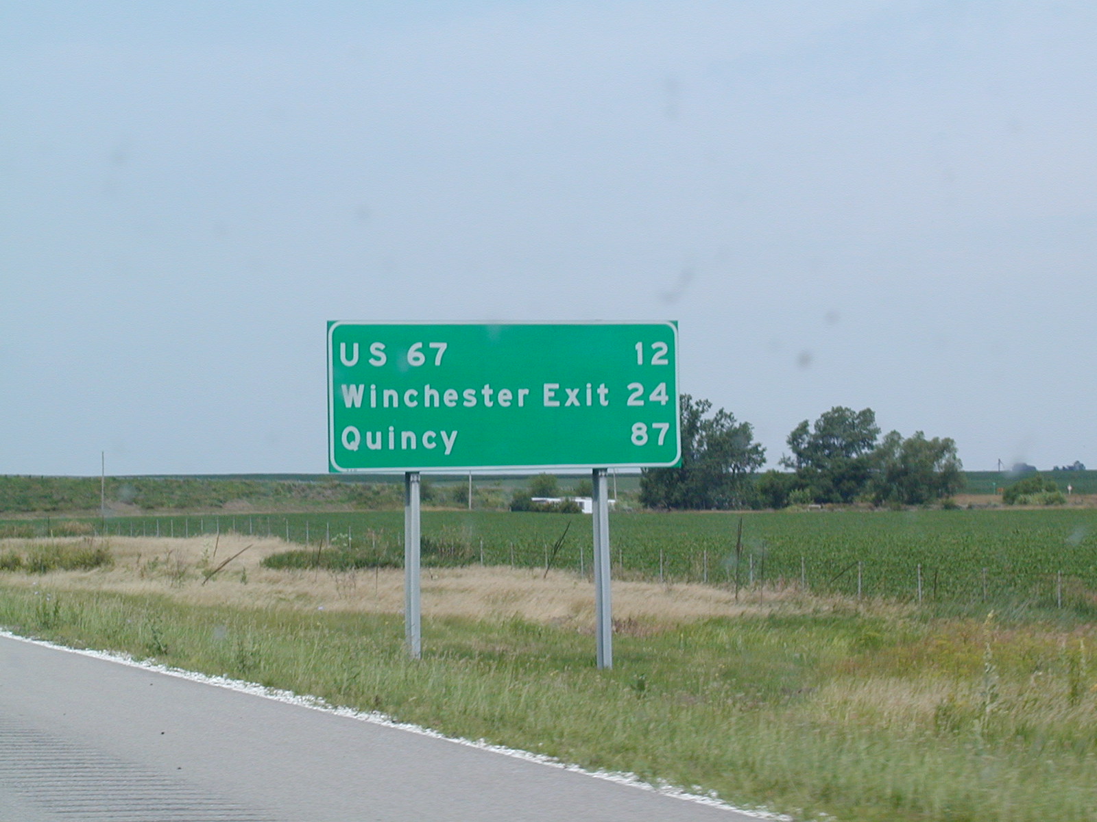 Quincy
is in 87 miles. Interesting that they have Quincy on the mileage sign
instead of Hannibal. Maybe that's because I-72 never used to make it
to Hannibal, but I-172 does go to Quincy. I dunno.
Quincy
is in 87 miles. Interesting that they have Quincy on the mileage sign
instead of Hannibal. Maybe that's because I-72 never used to make it
to Hannibal, but I-172 does go to Quincy. I dunno.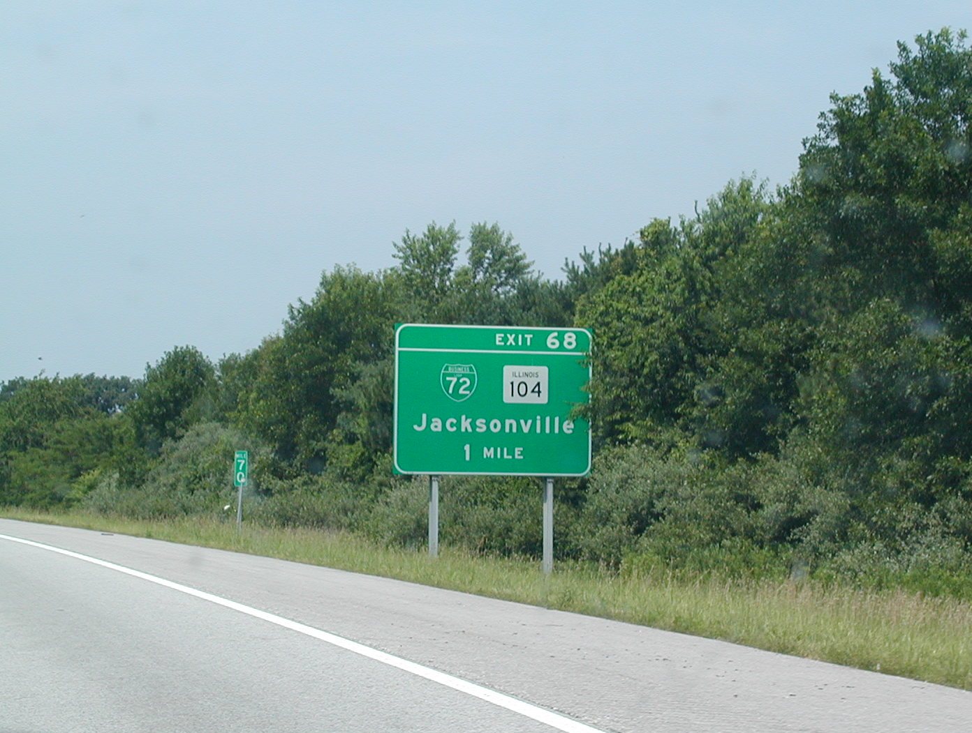 Almost
at BL 72, which appeared sometime in the late 1990s or early 2000s.
Almost
at BL 72, which appeared sometime in the late 1990s or early 2000s. A
scene on WB I-72 near Jacksonville.
A
scene on WB I-72 near Jacksonville.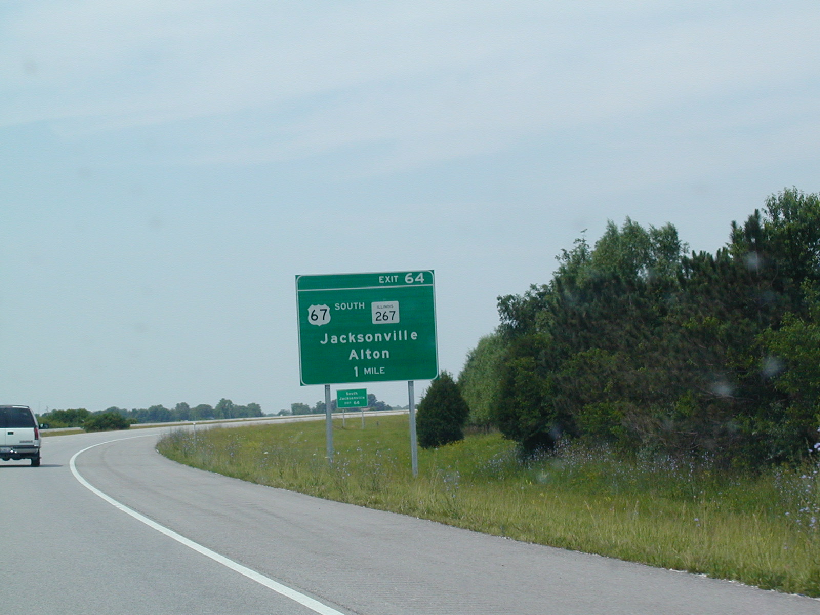 I
didn't know IL 267 made it up to I-72. But I guess it does.
I
didn't know IL 267 made it up to I-72. But I guess it does.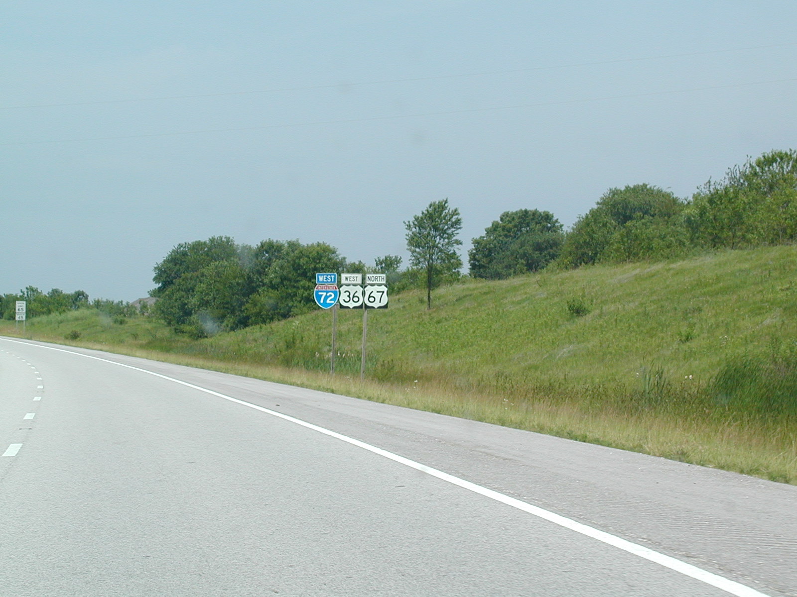 I-72,
US 36, and US 67.
I-72,
US 36, and US 67.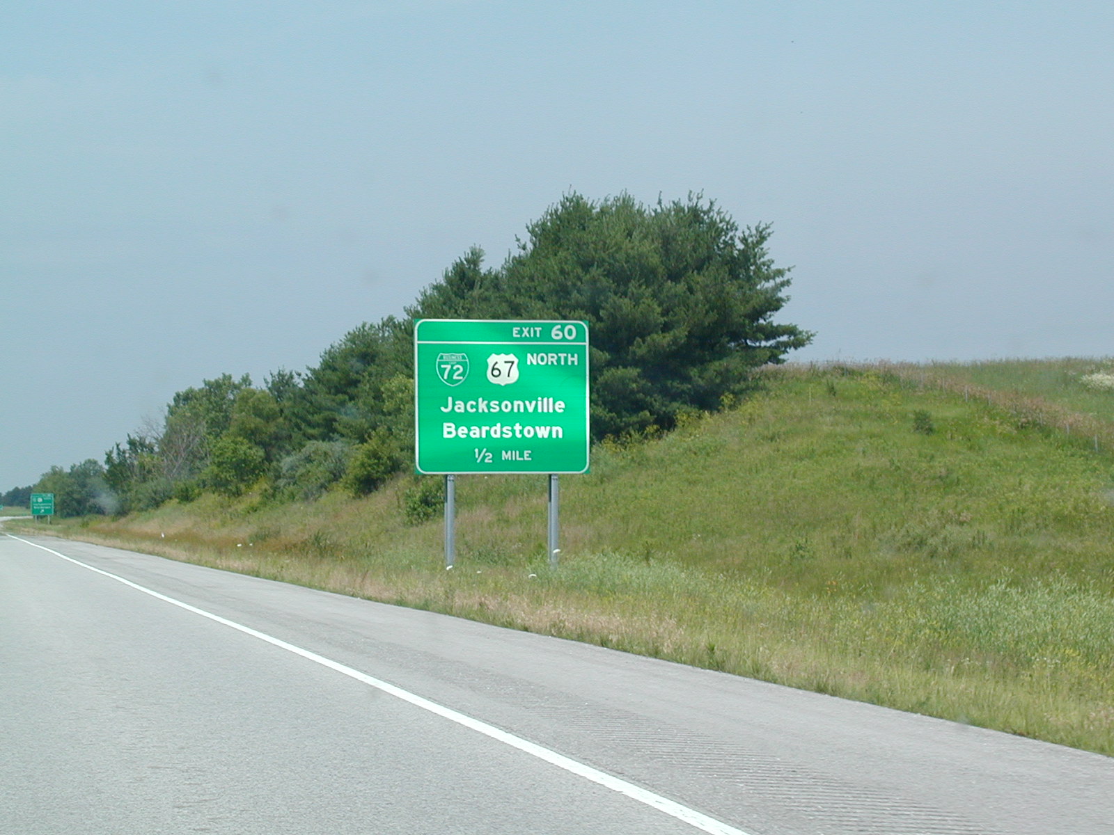 US
67 North and the other side of BL 72 come here. US 67 North is a
freeway for a bit until IL 104. The whole corridor is under
construction to make it at least 4-laned.
US
67 North and the other side of BL 72 come here. US 67 North is a
freeway for a bit until IL 104. The whole corridor is under
construction to make it at least 4-laned.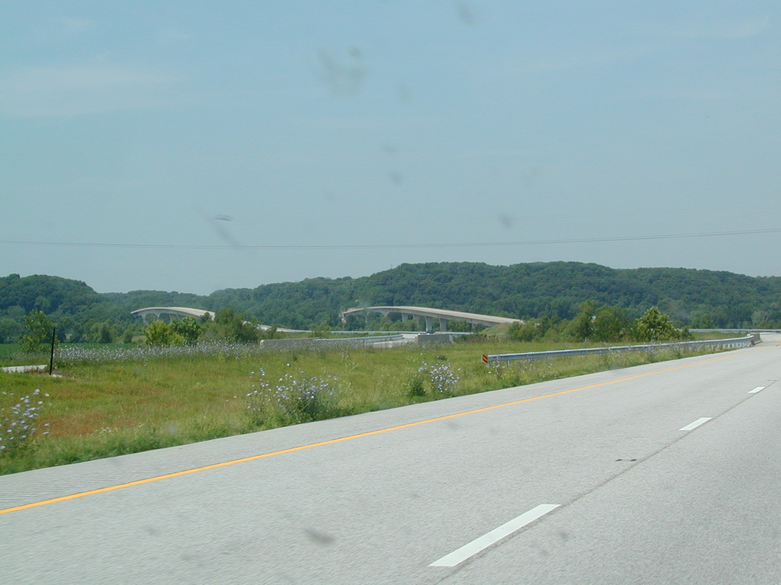
A pair of cool bridges over the Illinois River on I-72 West.
 Right
around the river, the scenery gets pretty cool, but rapidly disappears.
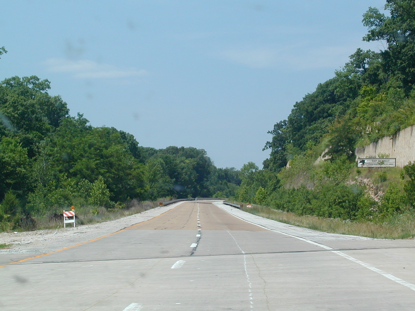
It looks like this was the original US 36 pavement from when it was
constructed in the early 1990s.
Right
around the river, the scenery gets pretty cool, but rapidly disappears.
It looks like this was the original US 36 pavement from when it was
constructed in the early 1990s.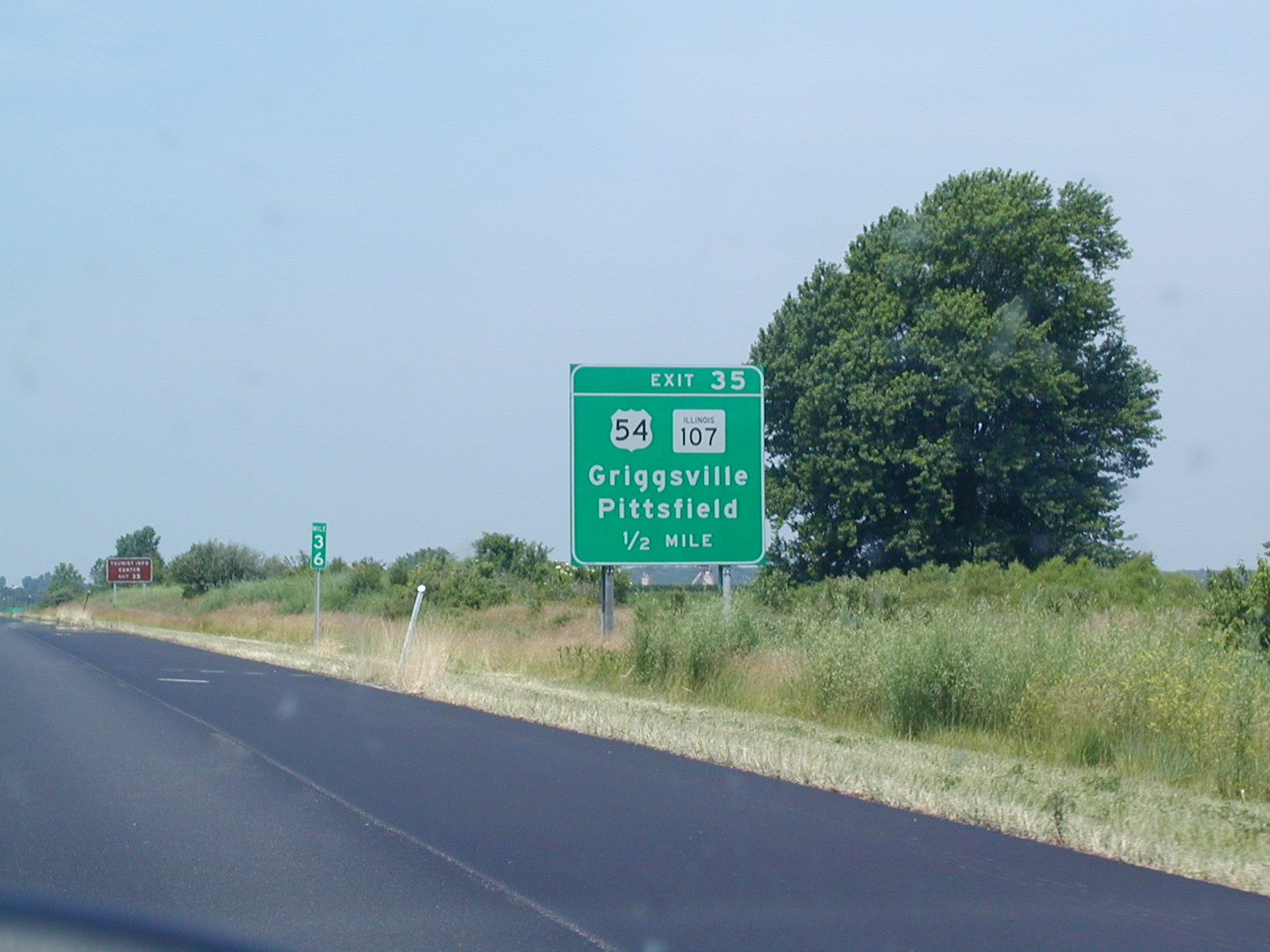 Approaching
US 54 and IL 107.
Approaching
US 54 and IL 107.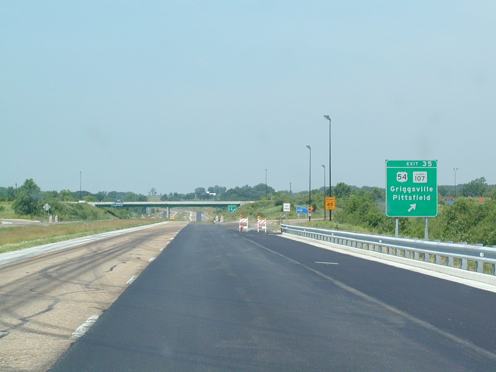 This
marks the eastern end of US 54. It used to go all the way into
downtown Chicago, but was truncated all the way back here for some strange
reason. I think it could have gone at least to Onarga, where IL 54
(former US 54) ends.
This
marks the eastern end of US 54. It used to go all the way into
downtown Chicago, but was truncated all the way back here for some strange
reason. I think it could have gone at least to Onarga, where IL 54
(former US 54) ends.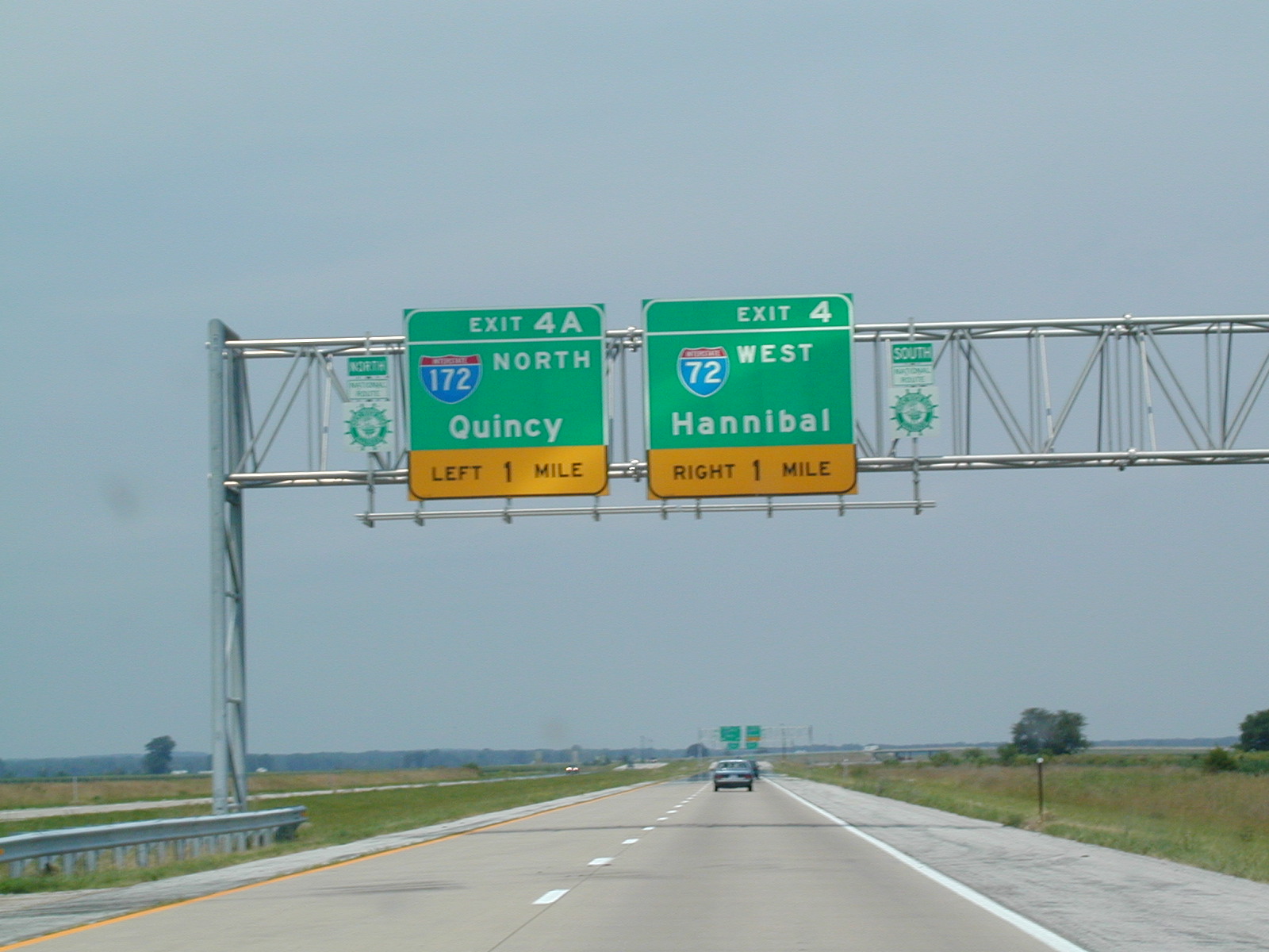 I-72
and I-172 are about to split. Someone please explain to me why I-72
exits itself here.
I-72
and I-172 are about to split. Someone please explain to me why I-72
exits itself here. 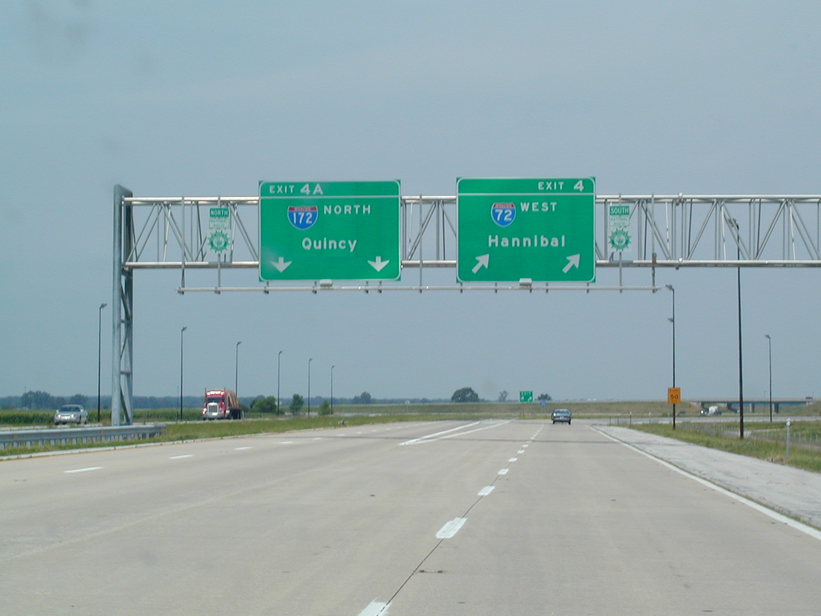 I-72
goes to the right while I-172 continues straight.
I-72
goes to the right while I-172 continues straight.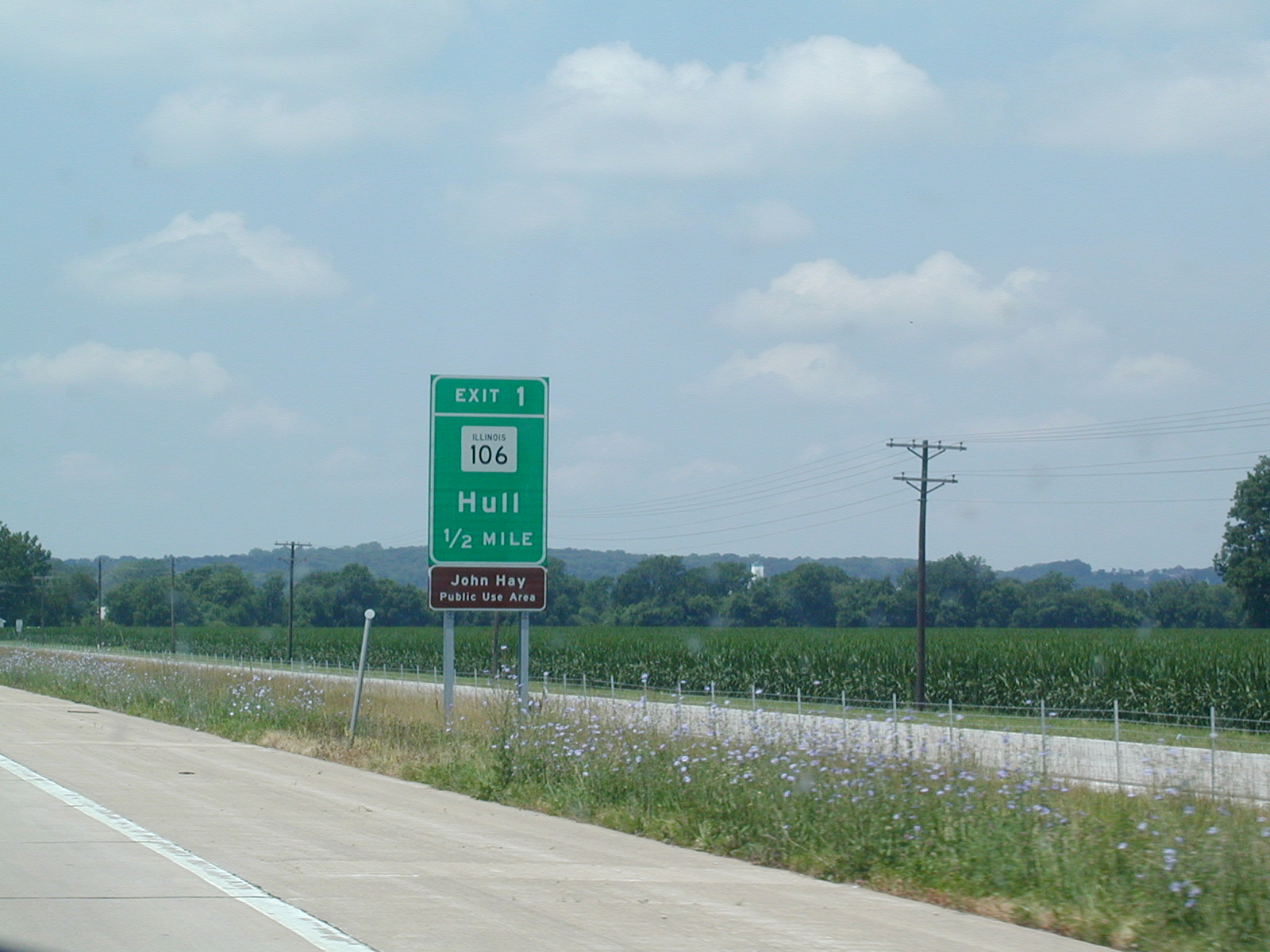 Exit
1 is for IL 106 to Hull. You can use the John Hay Public Use Area.
Exit
1 is for IL 106 to Hull. You can use the John Hay Public Use Area.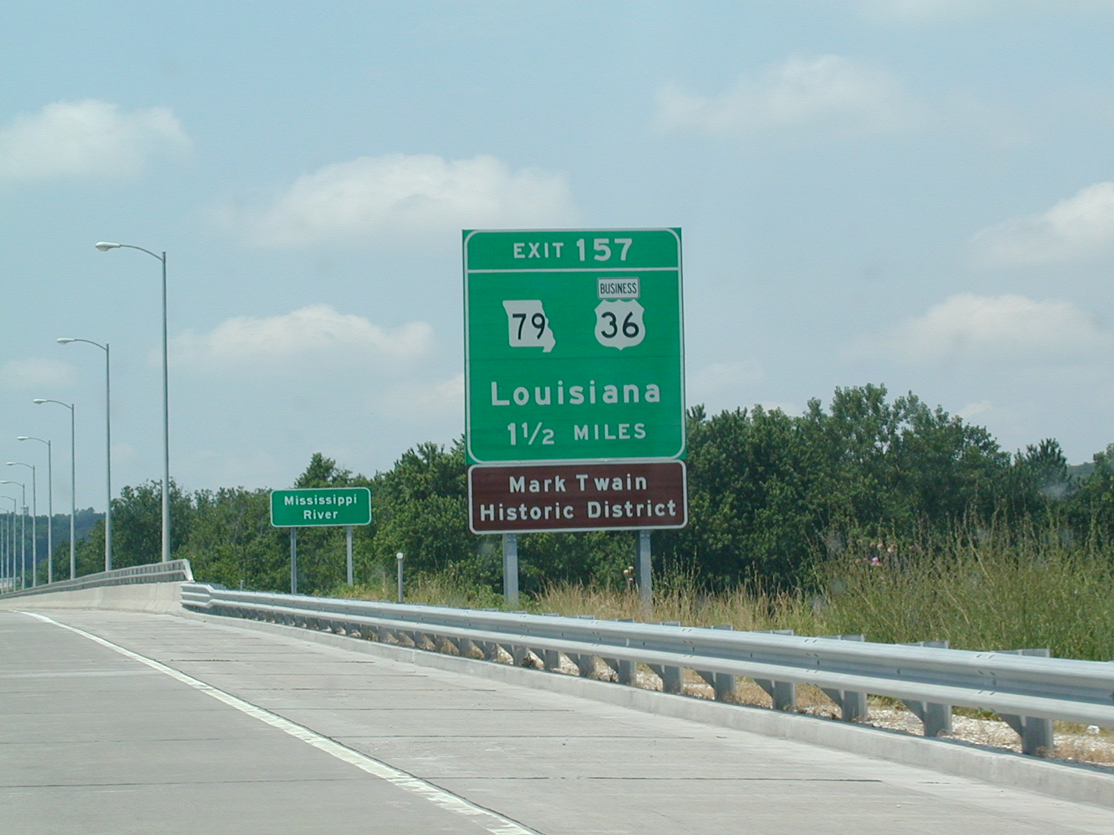 Illinois
does a commendable job of using Missouri-style BGSs. The exit number
reflects US 36's mileage, as I-72 ends just ahead in Hannibal.
Illinois
does a commendable job of using Missouri-style BGSs. The exit number
reflects US 36's mileage, as I-72 ends just ahead in Hannibal.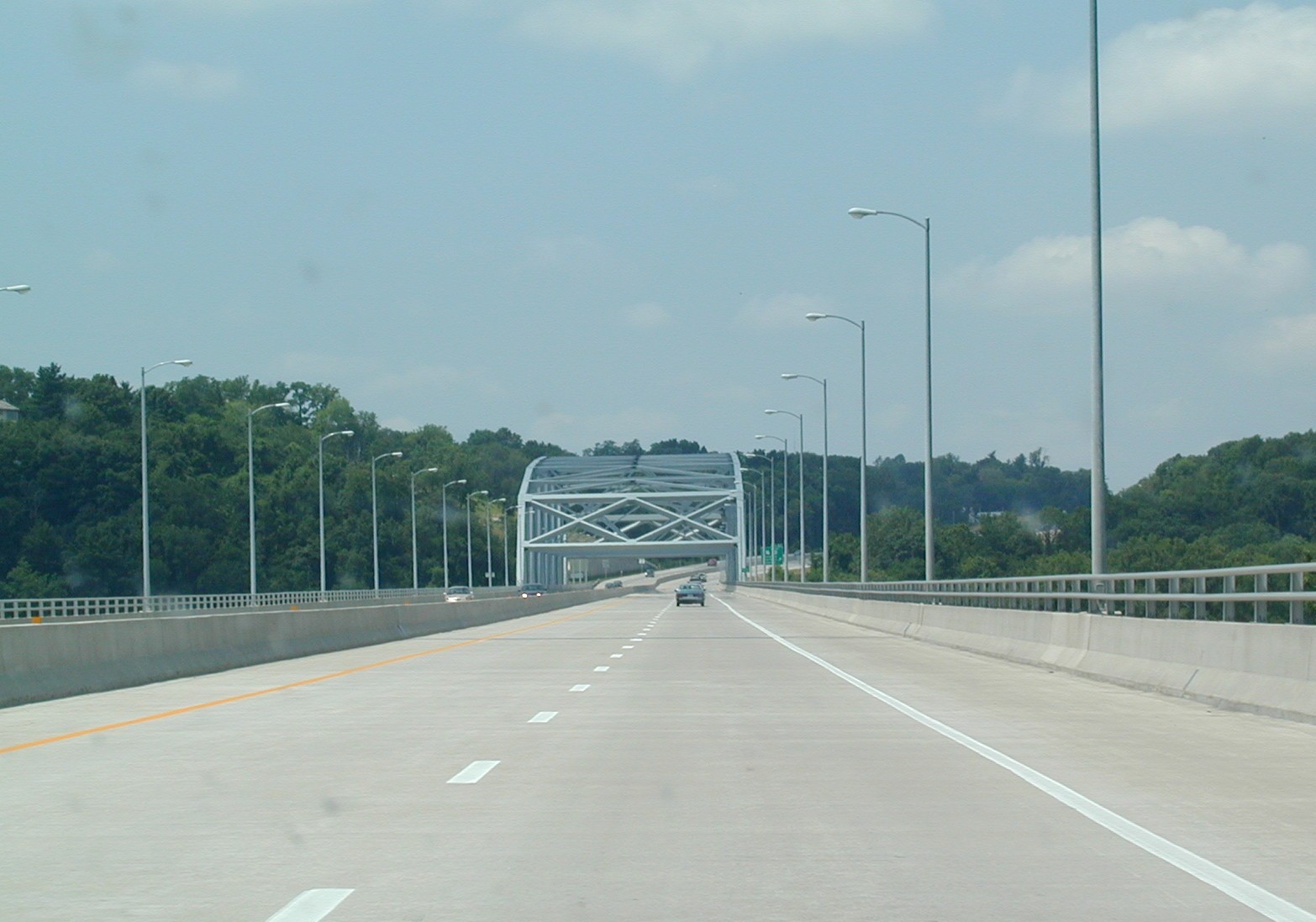 The
bridge over the Mississippi on I-72 and US 36 West.
The
bridge over the Mississippi on I-72 and US 36 West.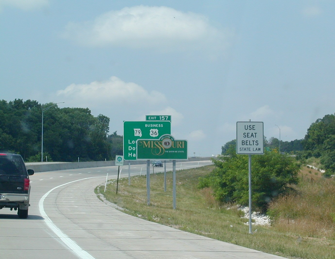 Welcome
to Missouri.
Welcome
to Missouri. I-72
and US 36 in Hannibal.
I-72
and US 36 in Hannibal.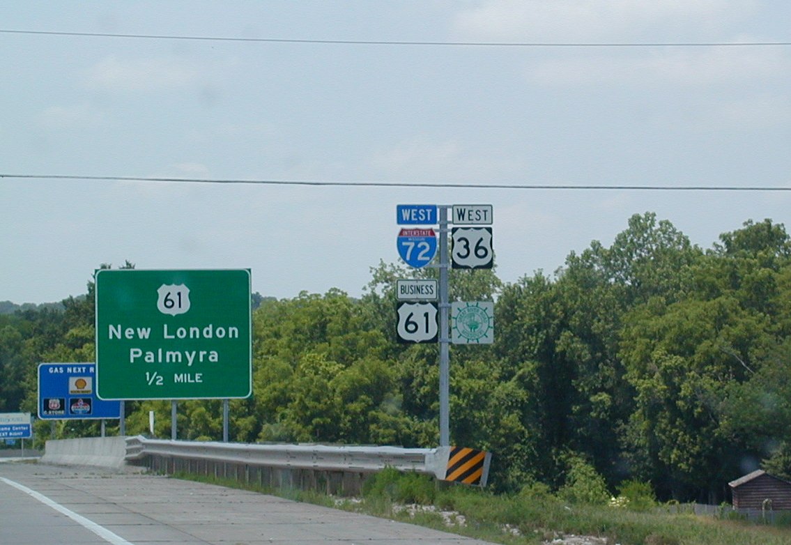 Business
US 61 follows the interstate for a bit. There's an Interstate Missouri
72 shield, as well, and that is just weird to me.
Business
US 61 follows the interstate for a bit. There's an Interstate Missouri
72 shield, as well, and that is just weird to me.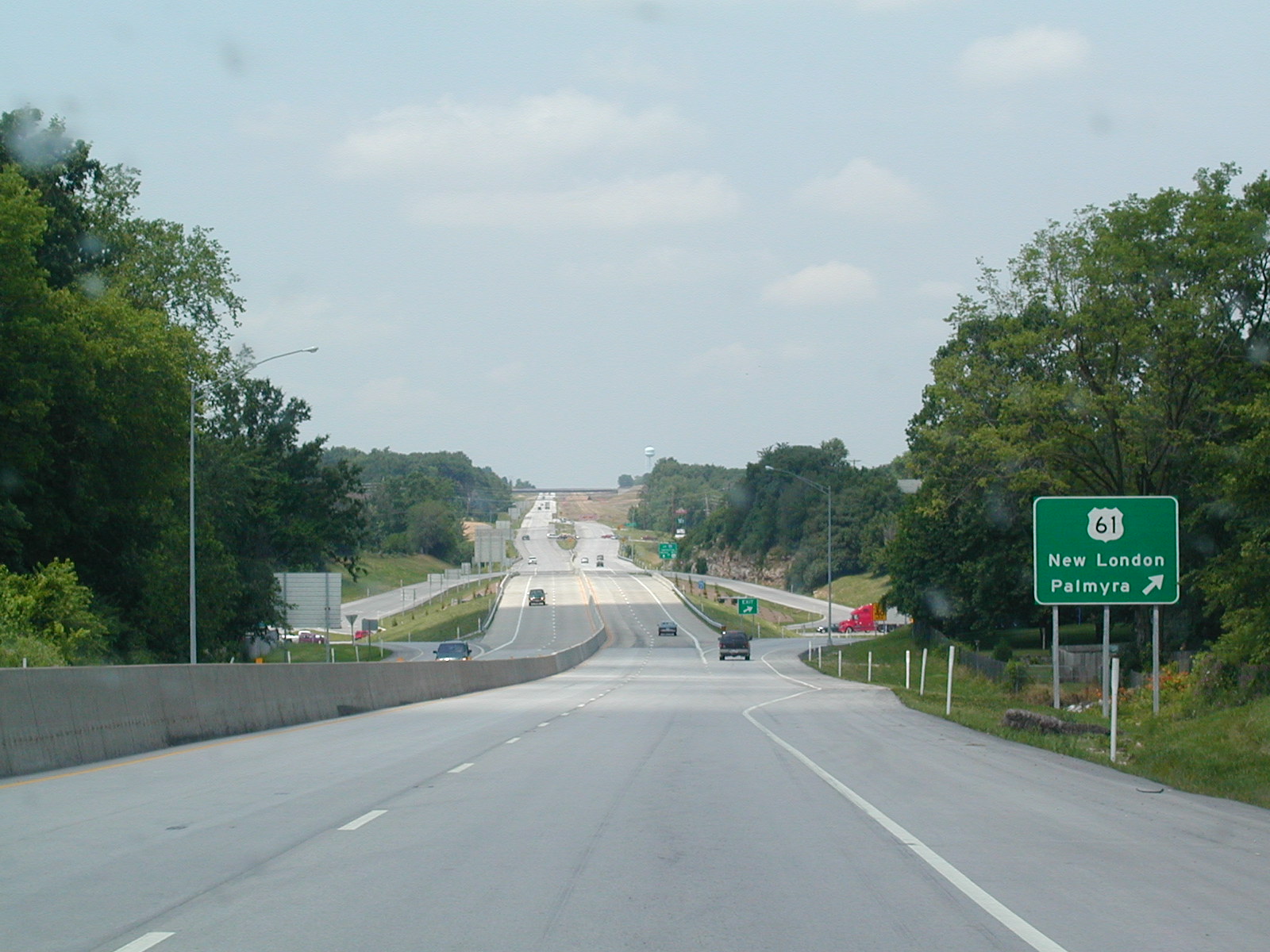 The
end of I-72 as seen from a distance. US 36 continues on to St. Joseph.
The
end of I-72 as seen from a distance. US 36 continues on to St. Joseph.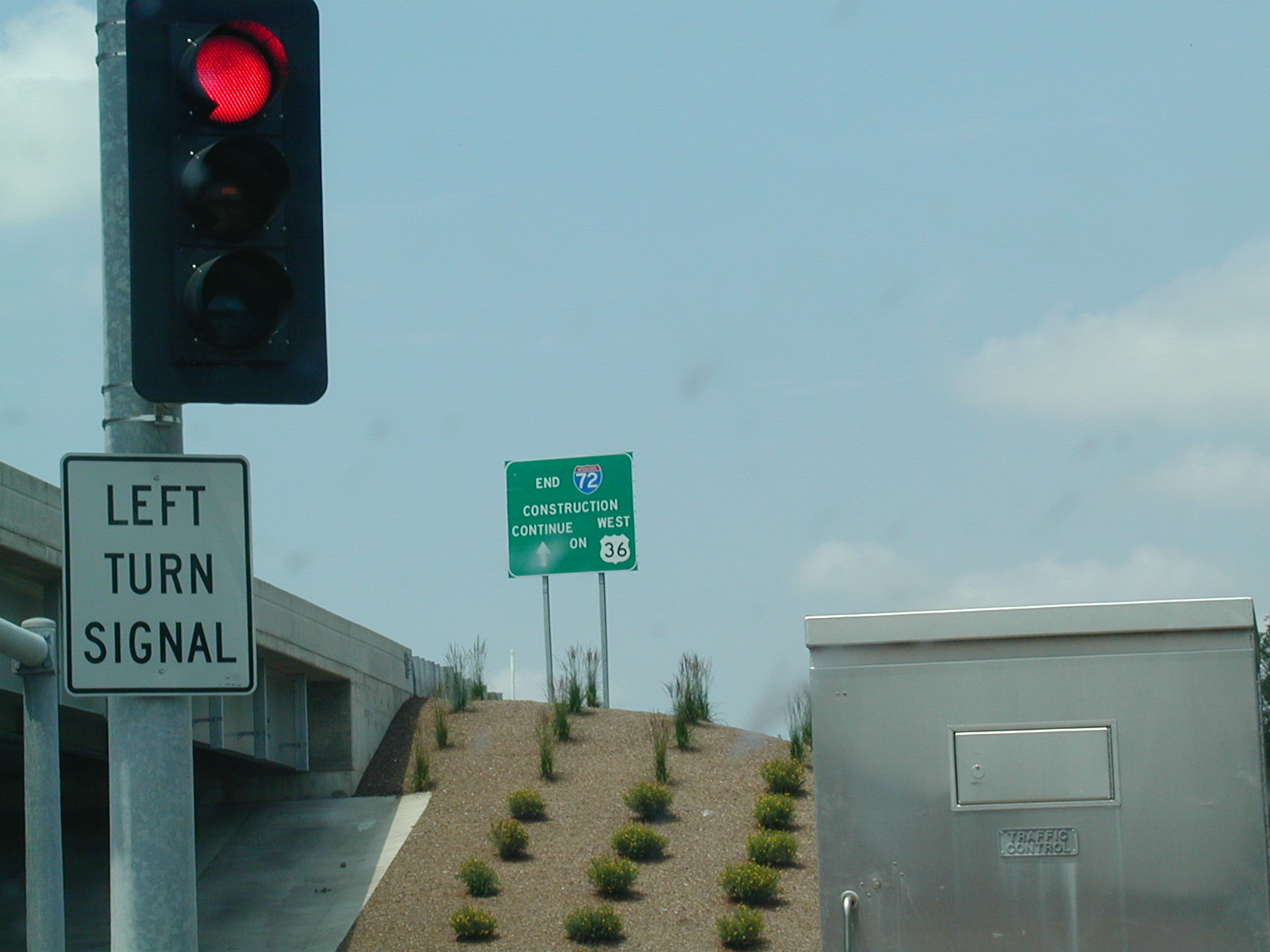 The
sign for I-72's western end.
The
sign for I-72's western end.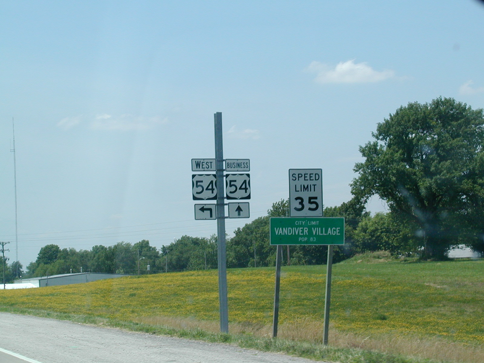 US
54 and Business US 54 in Vandiver Village, which is near Mexico. See
the population count? A whole 83 people live here.
US
54 and Business US 54 in Vandiver Village, which is near Mexico. See
the population count? A whole 83 people live here.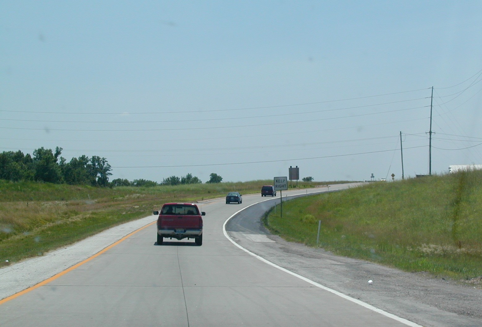 A
fake exit ramp to US 54. There is no interchange here, and it is still
2 lanes.
A
fake exit ramp to US 54. There is no interchange here, and it is still
2 lanes.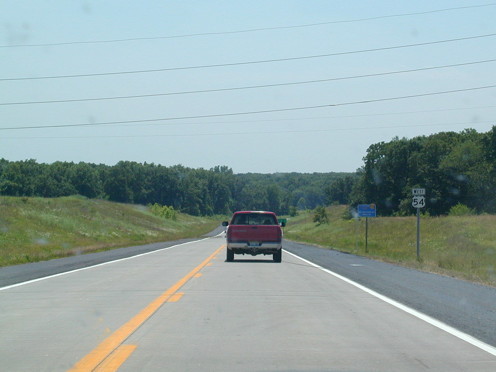 West
US 54. I think this is a super-2 around Mexico.
West
US 54. I think this is a super-2 around Mexico. The
southern end of the Mexico bypass on US 54. It is about to turn into
an expressway.
The
southern end of the Mexico bypass on US 54. It is about to turn into
an expressway.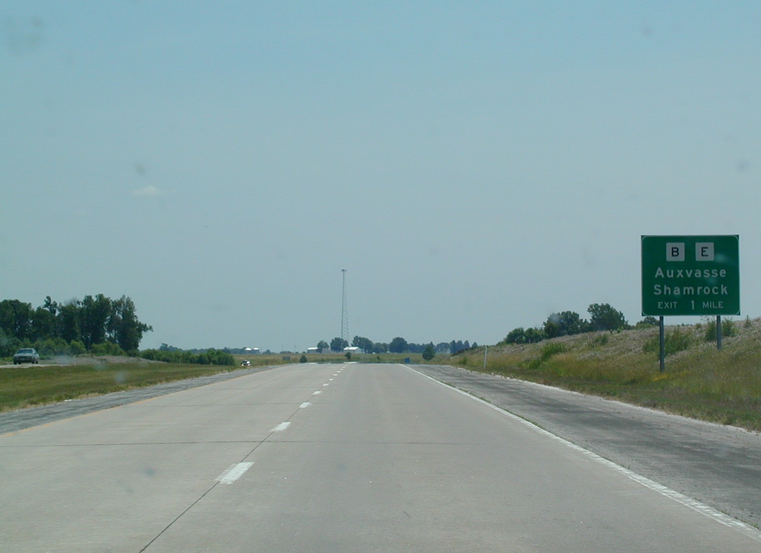 County
Roads B and E go near Auxvasse and Shamrock. The highway is interstate
standard in places and 70 mph for most of the way to Lake of the Ozarks.
County
Roads B and E go near Auxvasse and Shamrock. The highway is interstate
standard in places and 70 mph for most of the way to Lake of the Ozarks.