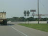
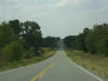
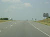
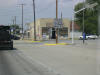
 We're
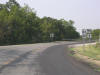
gonna start out in Morris on US 62 WB. We're
gonna start out in Morris on US 62 WB. |
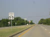
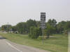
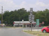
 A
new-style OK State Road shield in downtown Morris. A
new-style OK State Road shield in downtown Morris. |
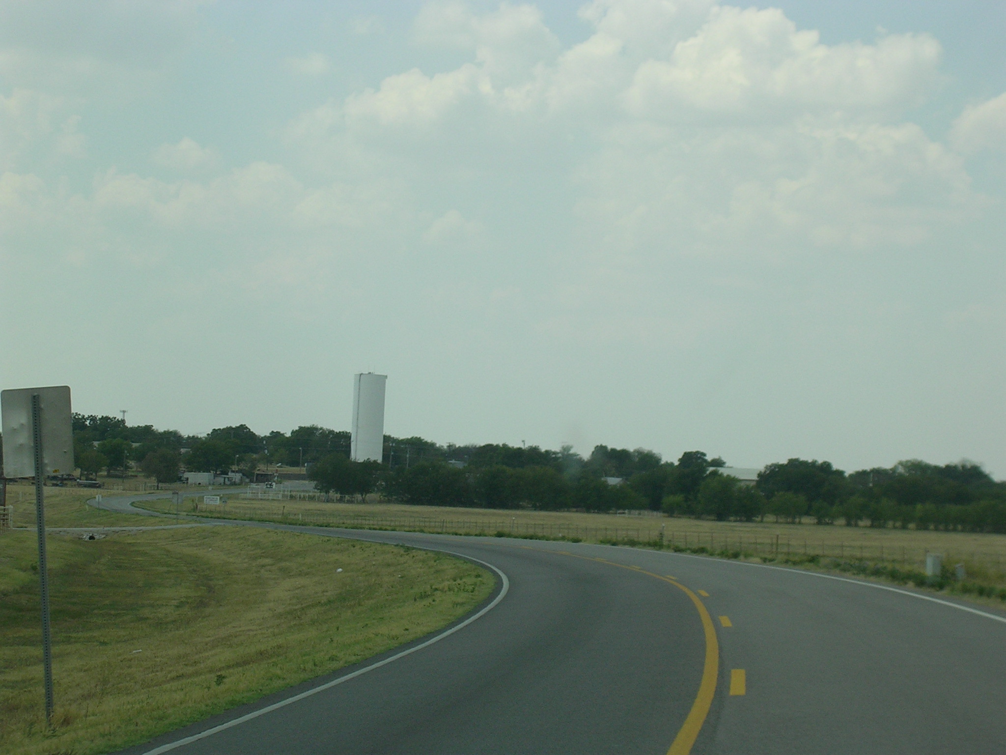
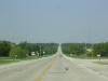
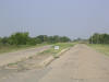
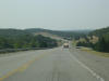
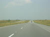
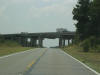
 Heading
west out of Morris, US 62 picks up some wide shoulders and a concrete
surface. Heading
west out of Morris, US 62 picks up some wide shoulders and a concrete
surface. |
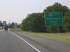
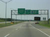
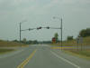
 Eventually,
US 62 hits Loop OK 56, which bypasses the town of Okmulgee. Eventually,
US 62 hits Loop OK 56, which bypasses the town of Okmulgee. |
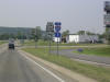
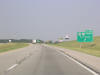
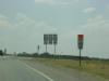
 And
US 62 picks up a couple extra lanes at Loop 56. And
US 62 picks up a couple extra lanes at Loop 56. |
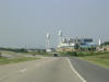
 Now
this is south of Okmulgee on US 62 WB and US 75 SB. The actual
direction is south. Now
this is south of Okmulgee on US 62 WB and US 75 SB. The actual
direction is south. |
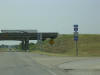
 The
Indian Nation Turnpike begins just ahead on the same alignment as the two
aforementioned US Routes. The
Indian Nation Turnpike begins just ahead on the same alignment as the two
aforementioned US Routes. |
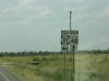
 But
first we have to cross the western end of US 266. US 266 is short and
travels to the east for about 40 miles to its eastern end at US 64 in
Warner. But
first we have to cross the western end of US 266. US 266 is short and
travels to the east for about 40 miles to its eastern end at US 64 in
Warner. |
 A
factory along US 62-75 in Henryetta. A
factory along US 62-75 in Henryetta. |
 As
you can see, US 62-75 splits off to join I-40 and the Indian Nation Tpk.
heads south toward McAlester. Those US shields on the right seem to
indicate that the routes continue ahead, but they don't. Confusing I
say. As
you can see, US 62-75 splits off to join I-40 and the Indian Nation Tpk.
heads south toward McAlester. Those US shields on the right seem to
indicate that the routes continue ahead, but they don't. Confusing I
say. |
 Business
US 62-75 BGS on I-40 and US 62-75 Westbound. Business
US 62-75 BGS on I-40 and US 62-75 Westbound. |
 This
is the old road-- old US 62-75-- which runs parallel to I-40 just to the
north. This
is the old road-- old US 62-75-- which runs parallel to I-40 just to the
north. |
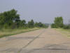 After
a few miles, the super-old pavement takes over and there is almost no
traffic. After
a few miles, the super-old pavement takes over and there is almost no
traffic. |
 An
old-school intersection where US 75 used to split off to the south. An
old-school intersection where US 75 used to split off to the south. |
 This
is the scene immediately after turning left at the intersection in the
previous photo. Back at I-40. This
is the scene immediately after turning left at the intersection in the
previous photo. Back at I-40. |
 South
US 75 picks up at the interstate. South
US 75 picks up at the interstate. |
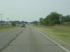
 Just
a US 75 scene. Just
a US 75 scene. |
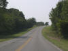
 A
bend in the road brings OK 84 to the picture. A
bend in the road brings OK 84 to the picture. |
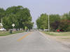
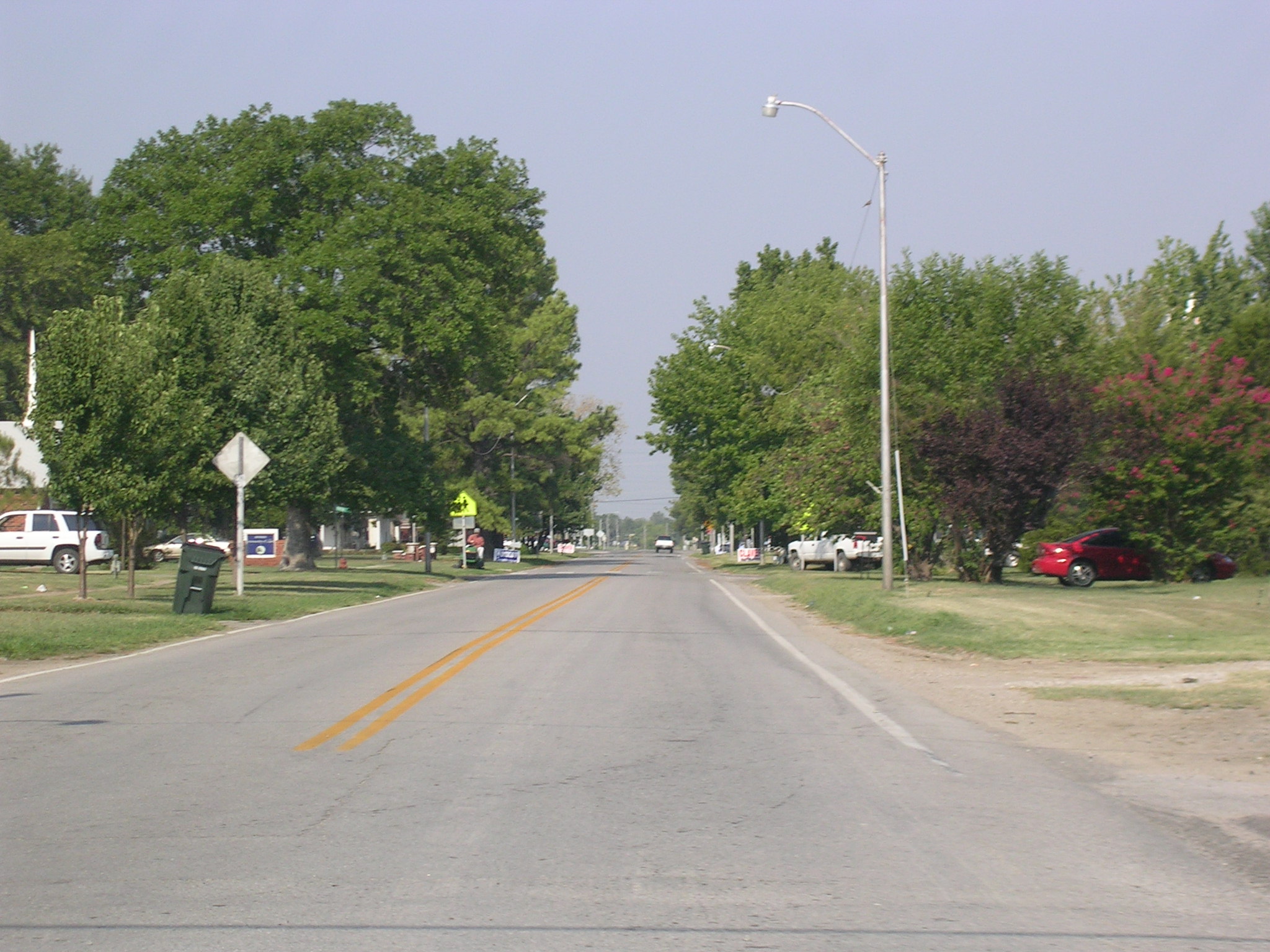
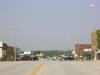 I'm
gonna hedge my bets and say this is Weleetka. I'm
gonna hedge my bets and say this is Weleetka. |
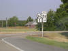
 Don't
have to guess on this one. Don't
have to guess on this one. |
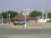
 Here's
OK 9 in Wetumka. Here's
OK 9 in Wetumka. |
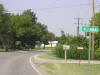
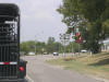
 Ten
miles to the south, in the middle of nowhere, we come upon US 270. Ten
miles to the south, in the middle of nowhere, we come upon US 270. |
 Some
hot shield-on-shield action! Some
hot shield-on-shield action! |
 Everything
looked prettier in person. The cameras don't do Oklahoma justice. Everything
looked prettier in person. The cameras don't do Oklahoma justice. |
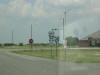
 Aha!
A change of pace: we've just turned west on OK 1. Aha!
A change of pace: we've just turned west on OK 1. |
 OK
1 and OK 48 hook up at Atwood, along the Canadian River. OK
1 and OK 48 hook up at Atwood, along the Canadian River. |
 OK
48 south. Not really a transcontinental route, huh? OK
48 south. Not really a transcontinental route, huh? |
 It
would have been scary to have that "Cross Traffic Does Not Stop" sign if
there was any traffic on OK 3. It
would have been scary to have that "Cross Traffic Does Not Stop" sign if
there was any traffic on OK 3. |
 Old
sign meets new sign. Old
sign meets new sign. |
 OK
48 was detoured at OK 22 for construction, so I took the detour eastward to
US 69-75. OK
48 was detoured at OK 22 for construction, so I took the detour eastward to
US 69-75. |
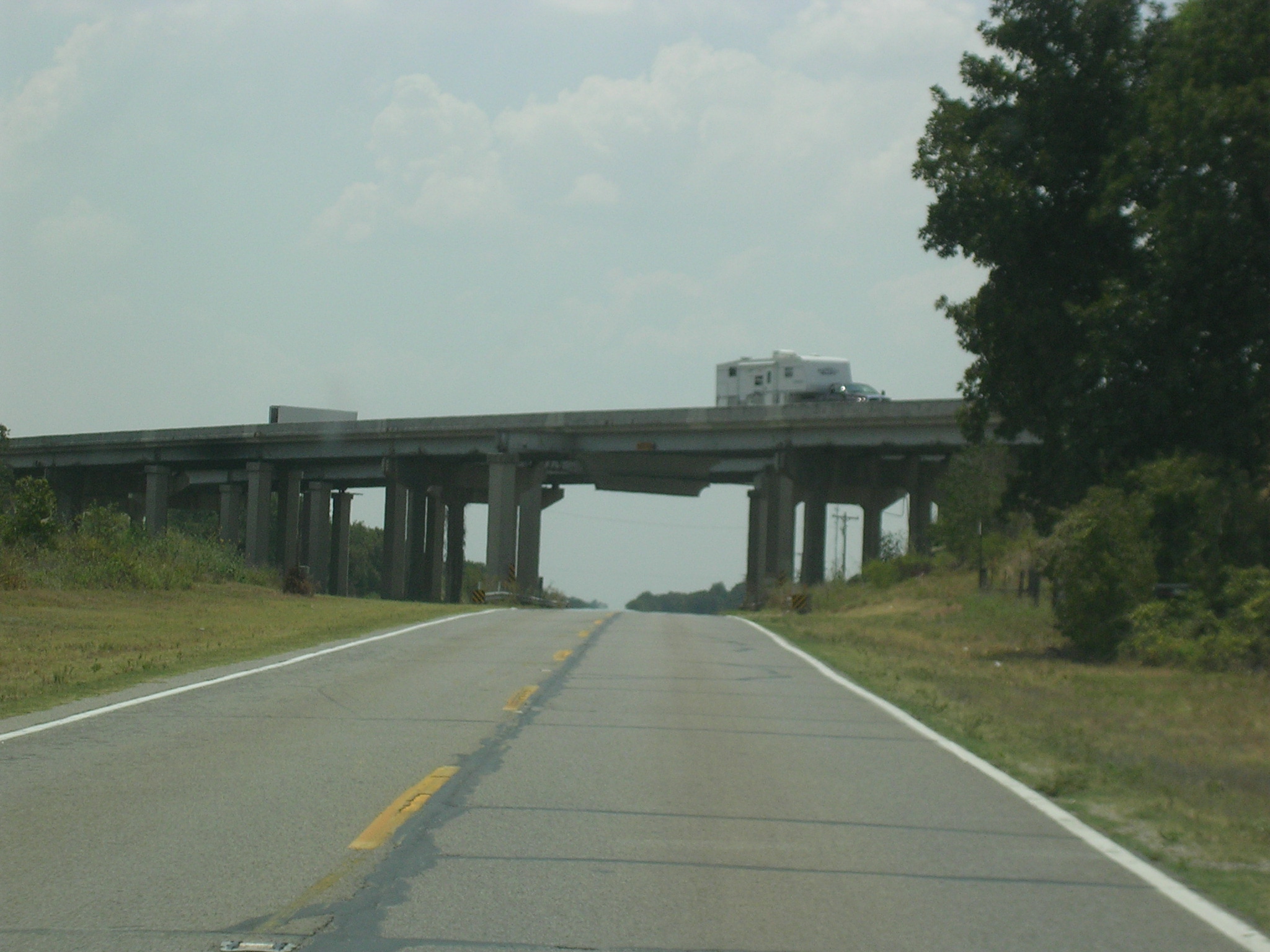
 The
road is a complete freeway here, but US 69 is an expressway (at least) from
I-44 in the north to the Texas line in the south. The
road is a complete freeway here, but US 69 is an expressway (at least) from
I-44 in the north to the Texas line in the south. |
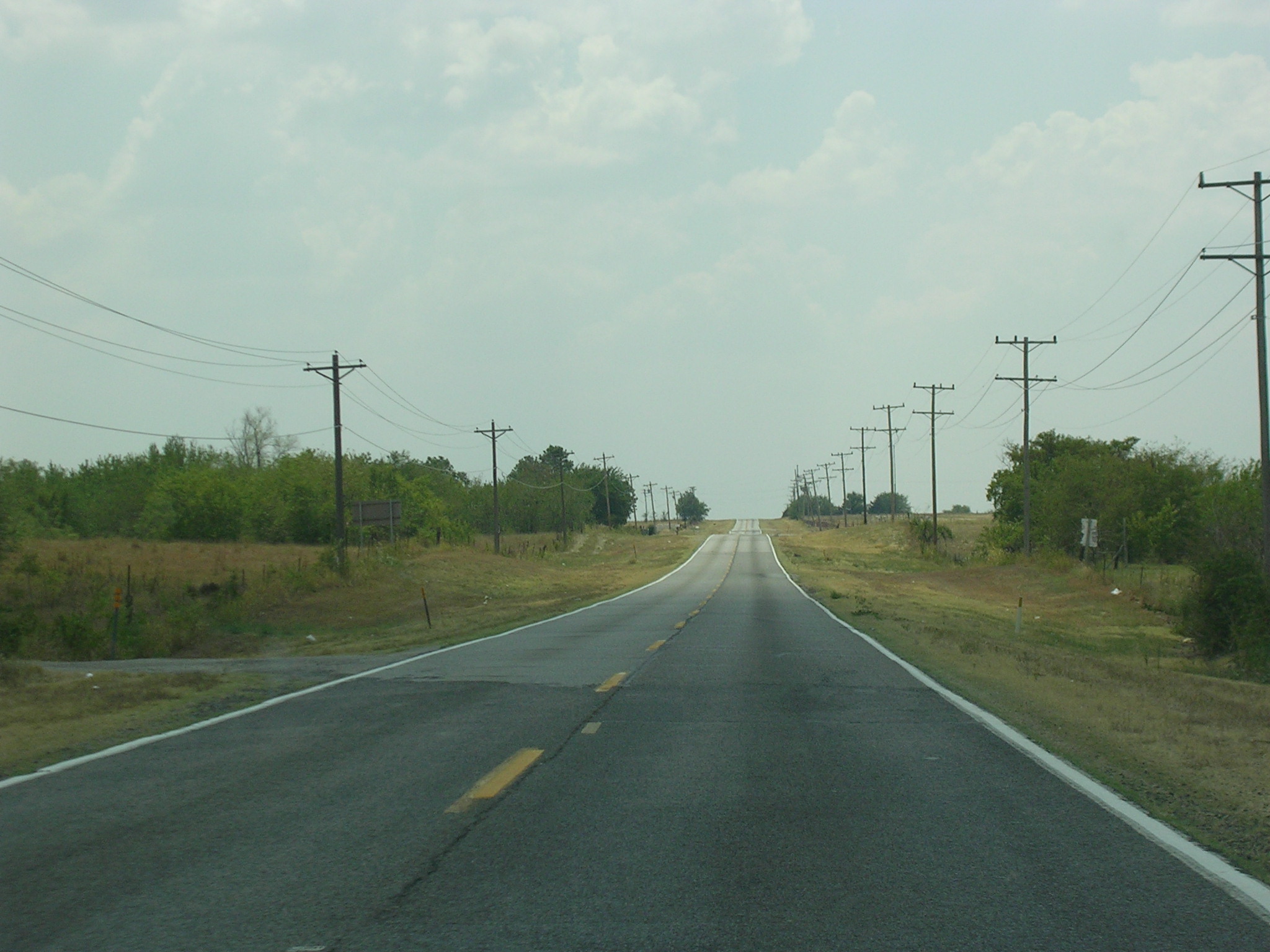
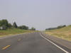
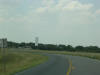
 Although
it looks pretty empty, US 69 is a big truck route throughout the state. Although
it looks pretty empty, US 69 is a big truck route throughout the state. |
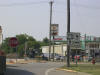
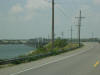 I
got off US 69-75 at US 70 West. This is the road going over a little
part of Lake Texoma, which straddles the OK-TX line as a flooded part of the
Red River with branches up into Oklahoma. I
got off US 69-75 at US 70 West. This is the road going over a little
part of Lake Texoma, which straddles the OK-TX line as a flooded part of the
Red River with branches up into Oklahoma. |
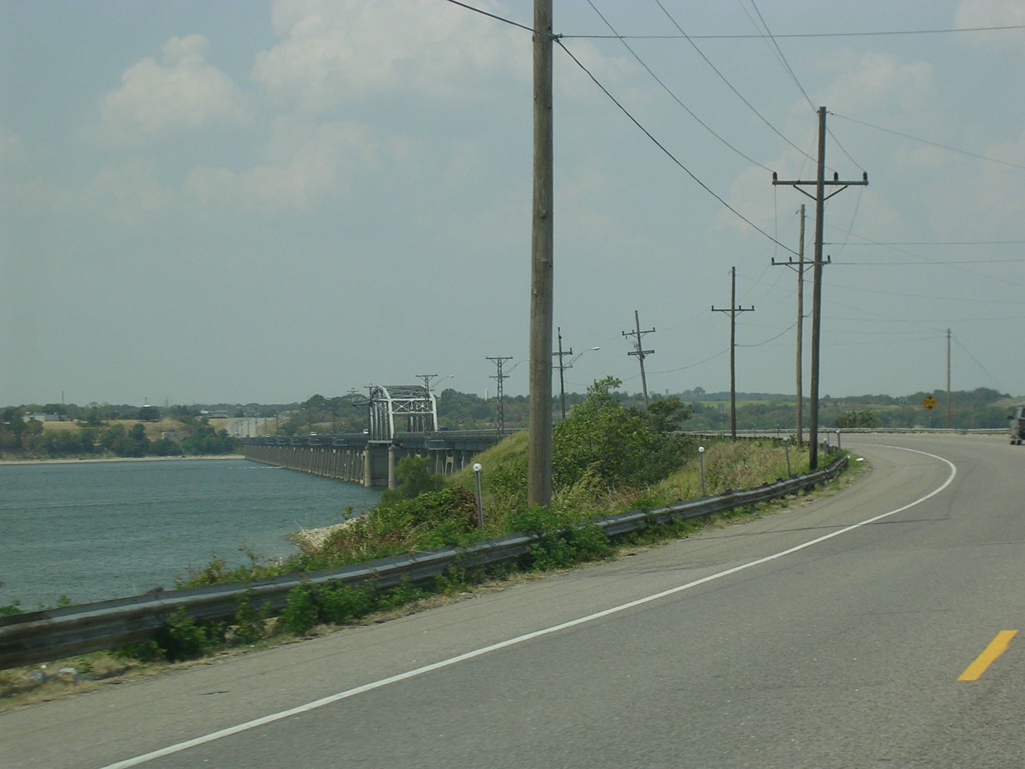
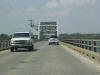 Neat
bridge. Neat
bridge. |
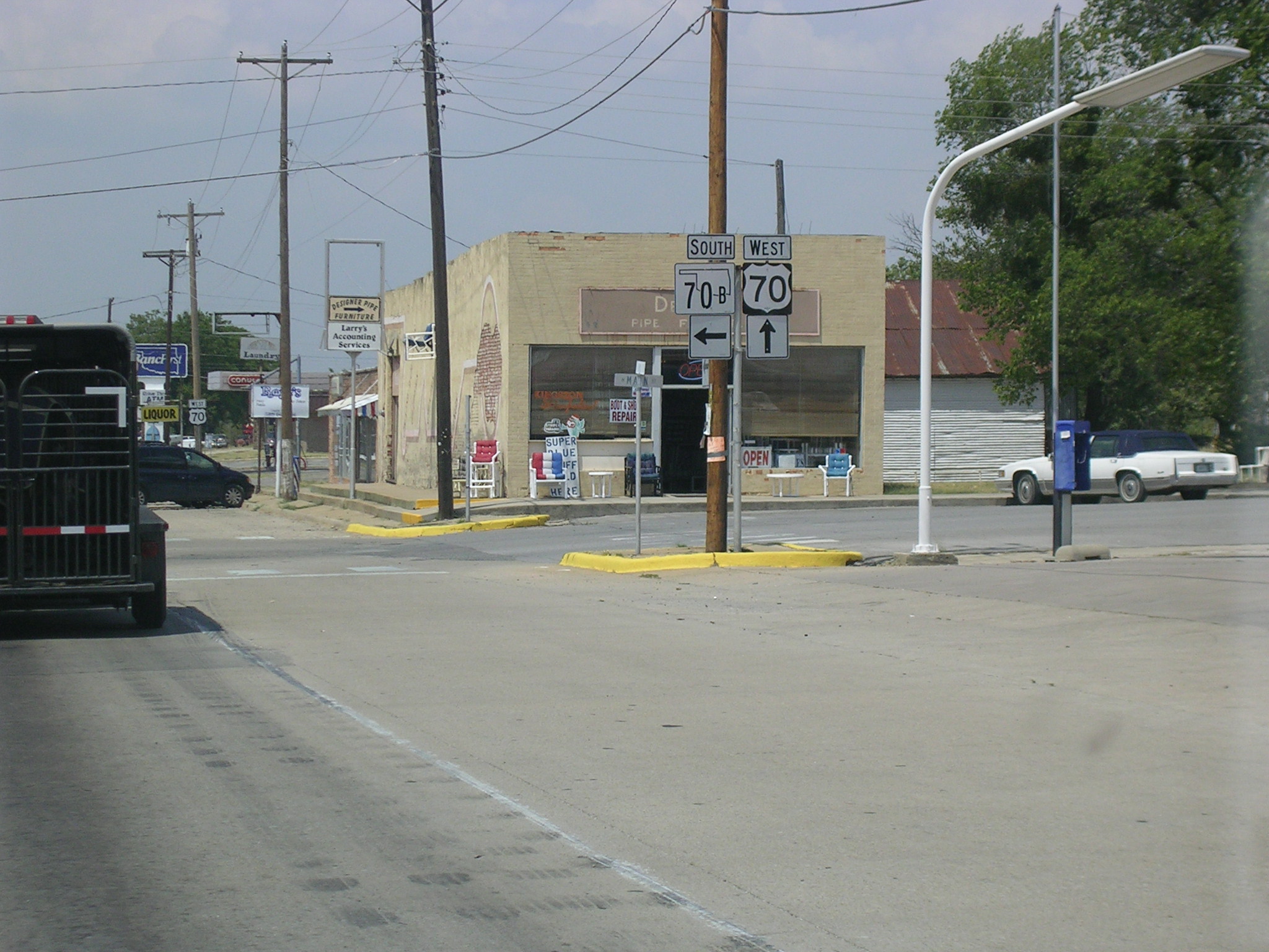
 US
70 WB at OK 70B. US
70 WB at OK 70B. |
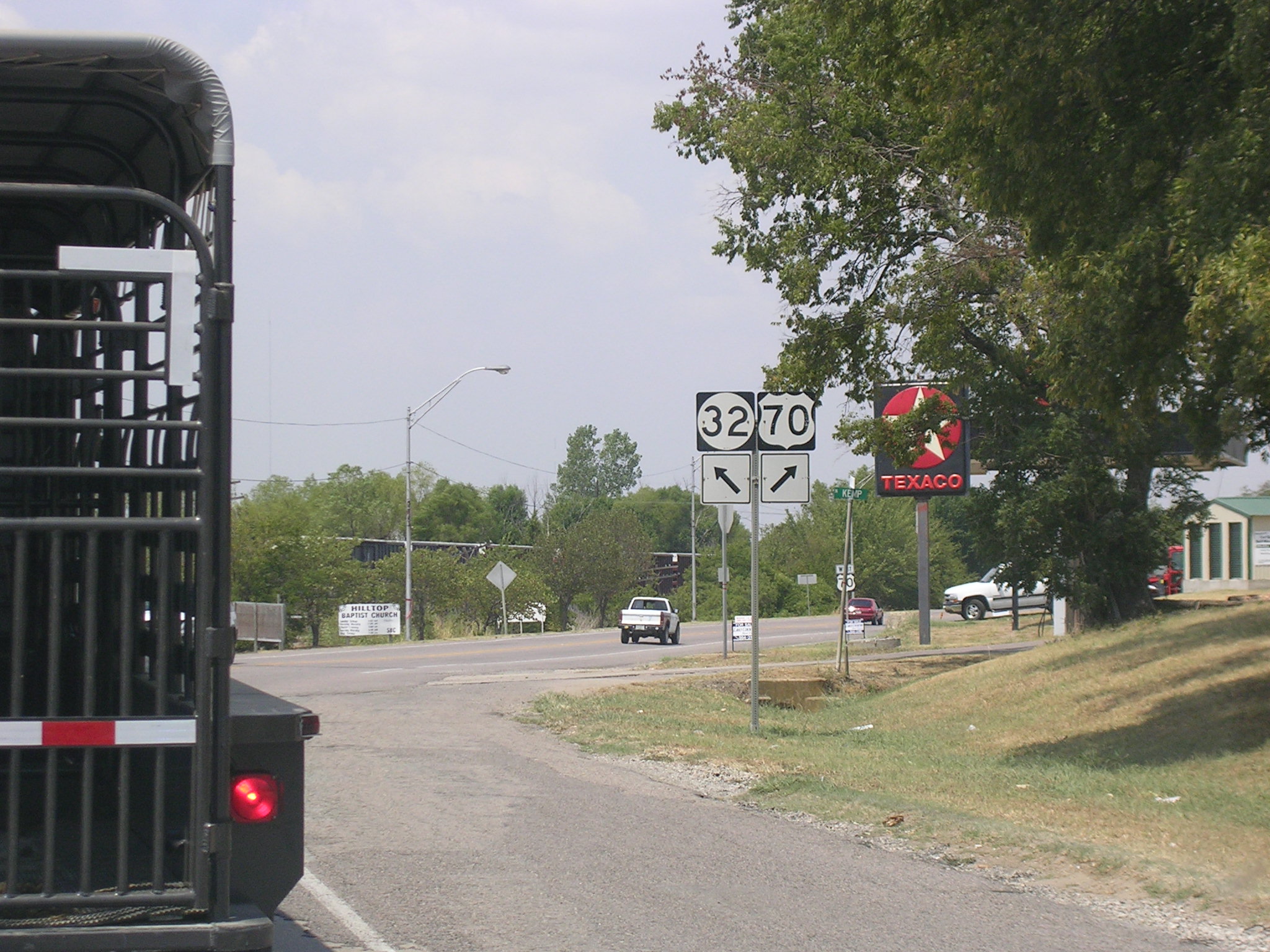
 US
70 goes northwest just a bit and OK 32 continues due west. US
70 goes northwest just a bit and OK 32 continues due west. |
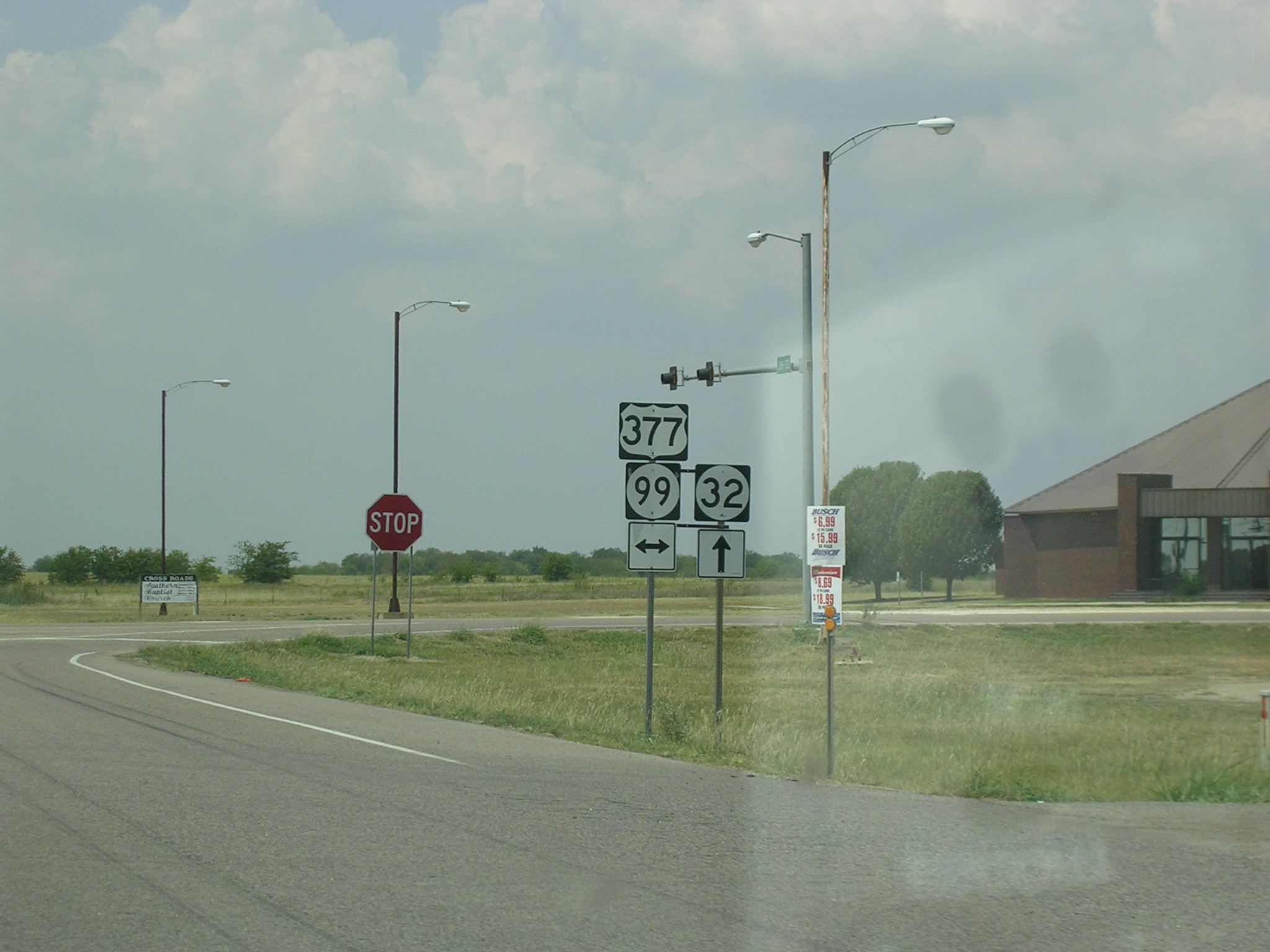
 OK
32 West at US 377 and OK 99. I don't know why OK 99 is signed on US
377-- it seems like a waste of shields and money. Look at a map and
you'll see that all of US 377 in Oklahoma is also OK 99. OK
32 West at US 377 and OK 99. I don't know why OK 99 is signed on US
377-- it seems like a waste of shields and money. Look at a map and
you'll see that all of US 377 in Oklahoma is also OK 99. |
 Again,
this was a prettier picture in real life. Again,
this was a prettier picture in real life. |
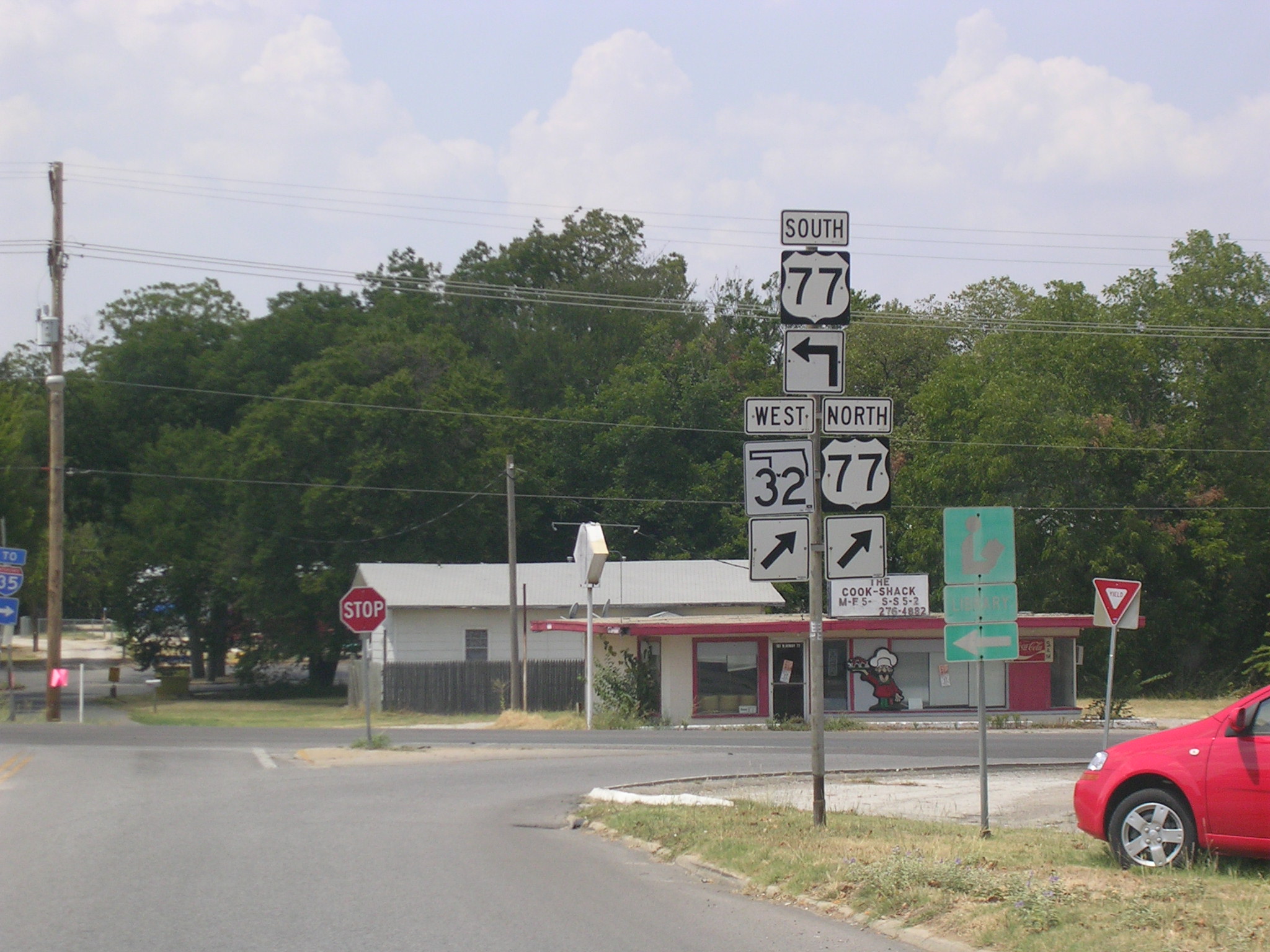
 Here
we are at US 77 in the town of Marietta. I-35 runs alongside US 77
about a mile west of here. Here
we are at US 77 in the town of Marietta. I-35 runs alongside US 77
about a mile west of here. |
 I
elected to travel US 77 South instead of I-35. I
elected to travel US 77 South instead of I-35. |
 This
is where I-35 goes across US 77 without an interchange. This
is where I-35 goes across US 77 without an interchange. |
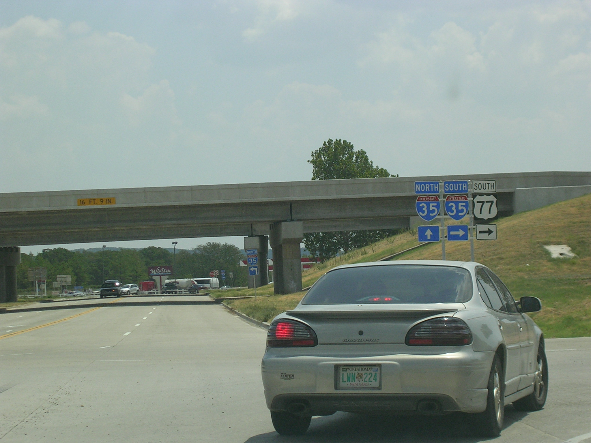
 A
few miles south of the last picture, US 77 finally catches up with I-35 just
north of the Texas border. A
few miles south of the last picture, US 77 finally catches up with I-35 just
north of the Texas border. |
 We're
gonna start out in Morris on US 62 WB.
We're
gonna start out in Morris on US 62 WB.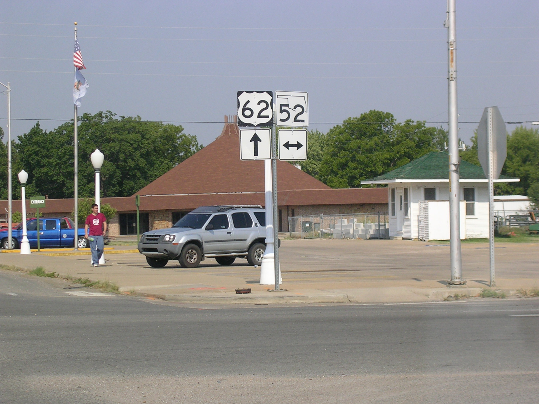 A
new-style OK State Road shield in downtown Morris.
A
new-style OK State Road shield in downtown Morris.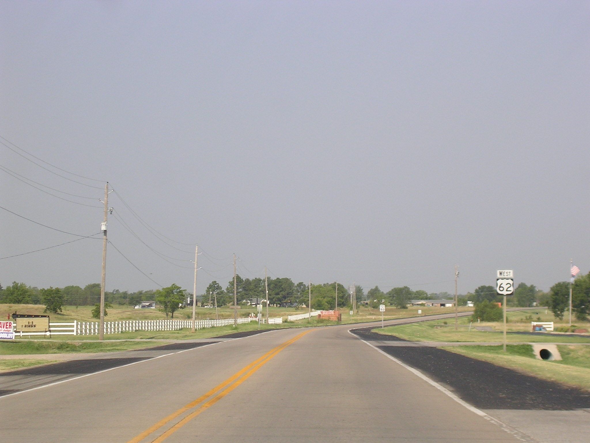 Heading
west out of Morris, US 62 picks up some wide shoulders and a concrete
surface.
Heading
west out of Morris, US 62 picks up some wide shoulders and a concrete
surface. Eventually,
US 62 hits Loop OK 56, which bypasses the town of Okmulgee.
Eventually,
US 62 hits Loop OK 56, which bypasses the town of Okmulgee.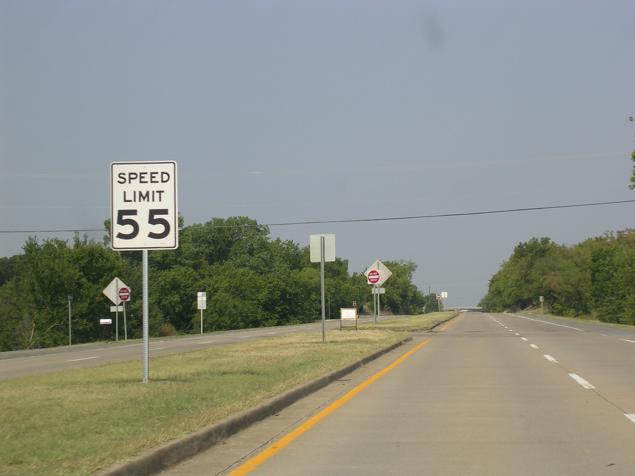 And
US 62 picks up a couple extra lanes at Loop 56.
And
US 62 picks up a couple extra lanes at Loop 56.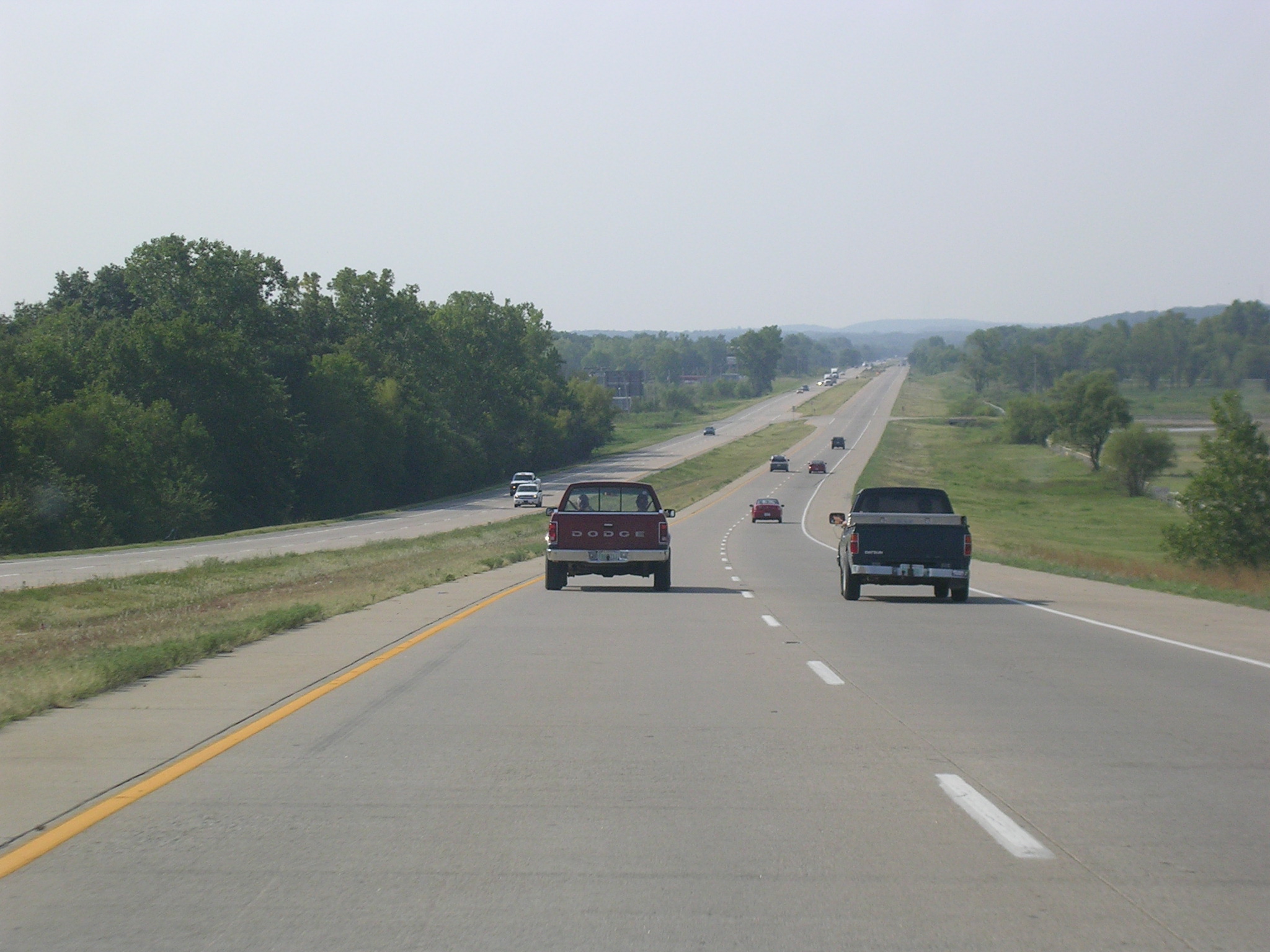 Now
this is south of Okmulgee on US 62 WB and US 75 SB. The actual
direction is south.
Now
this is south of Okmulgee on US 62 WB and US 75 SB. The actual
direction is south.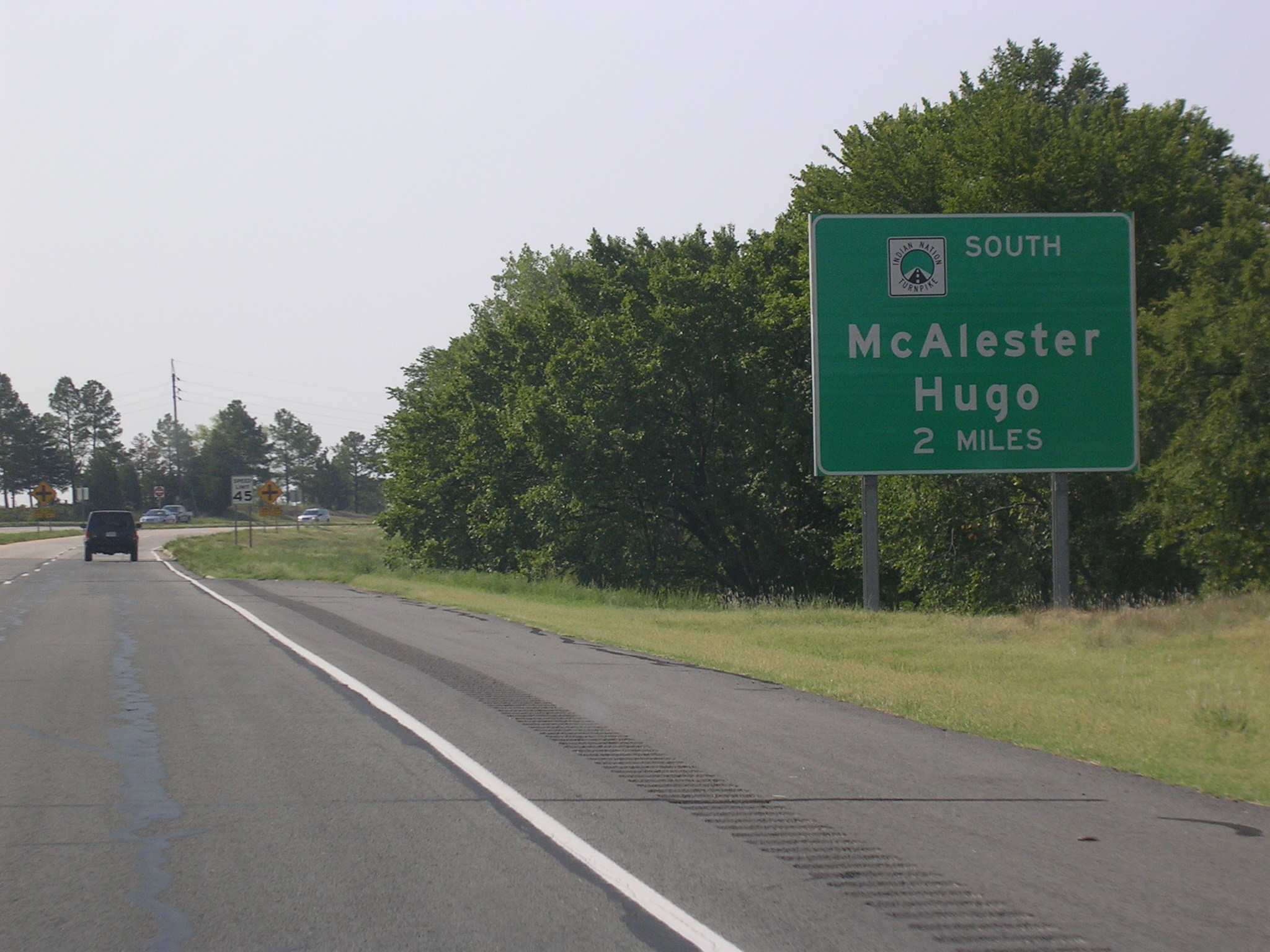 The
Indian Nation Turnpike begins just ahead on the same alignment as the two
aforementioned US Routes.
The
Indian Nation Turnpike begins just ahead on the same alignment as the two
aforementioned US Routes. But
first we have to cross the western end of US 266. US 266 is short and
travels to the east for about 40 miles to its eastern end at US 64 in
Warner.
But
first we have to cross the western end of US 266. US 266 is short and
travels to the east for about 40 miles to its eastern end at US 64 in
Warner.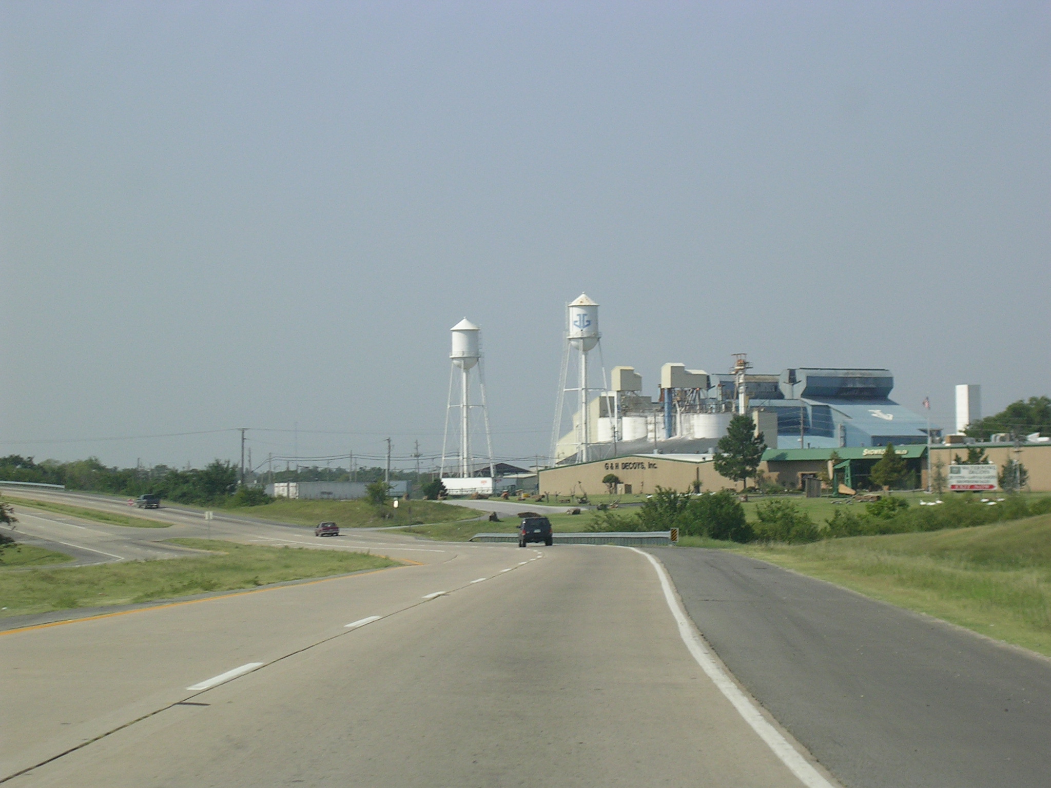 A
factory along US 62-75 in Henryetta.
A
factory along US 62-75 in Henryetta. As
you can see, US 62-75 splits off to join I-40 and the Indian Nation Tpk.
heads south toward McAlester. Those US shields on the right seem to
indicate that the routes continue ahead, but they don't. Confusing I
say.
As
you can see, US 62-75 splits off to join I-40 and the Indian Nation Tpk.
heads south toward McAlester. Those US shields on the right seem to
indicate that the routes continue ahead, but they don't. Confusing I
say. Business
US 62-75 BGS on I-40 and US 62-75 Westbound.
Business
US 62-75 BGS on I-40 and US 62-75 Westbound. This
is the old road-- old US 62-75-- which runs parallel to I-40 just to the
north.
This
is the old road-- old US 62-75-- which runs parallel to I-40 just to the
north.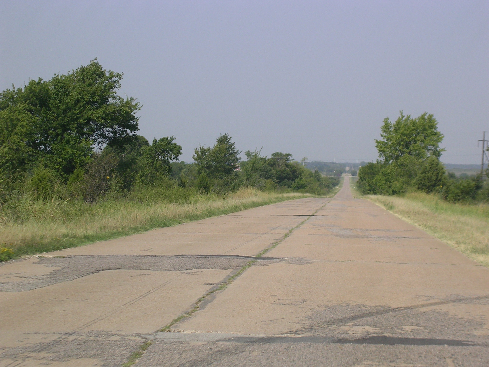 After
a few miles, the super-old pavement takes over and there is almost no
traffic.
After
a few miles, the super-old pavement takes over and there is almost no
traffic.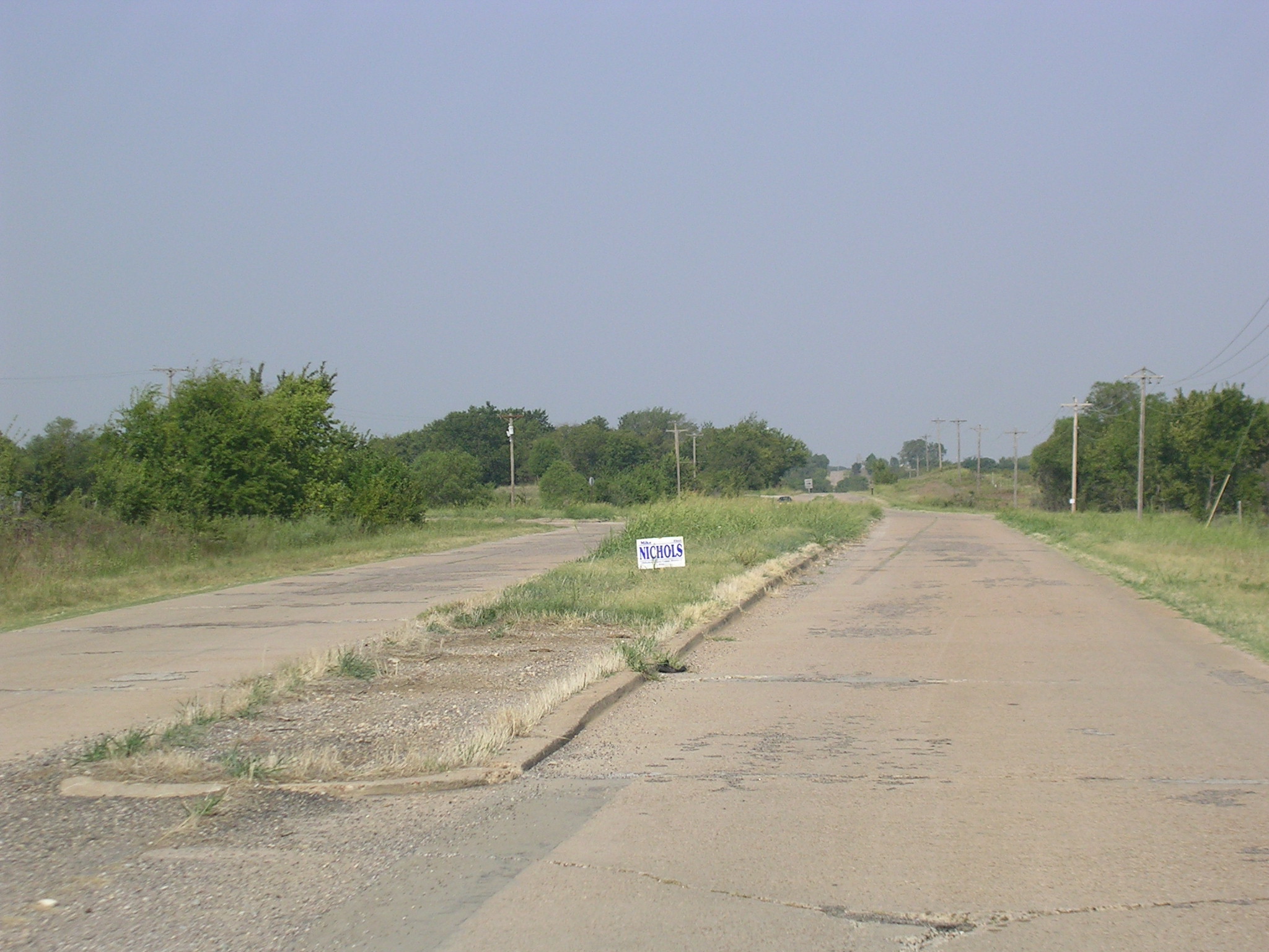 An
old-school intersection where US 75 used to split off to the south.
An
old-school intersection where US 75 used to split off to the south.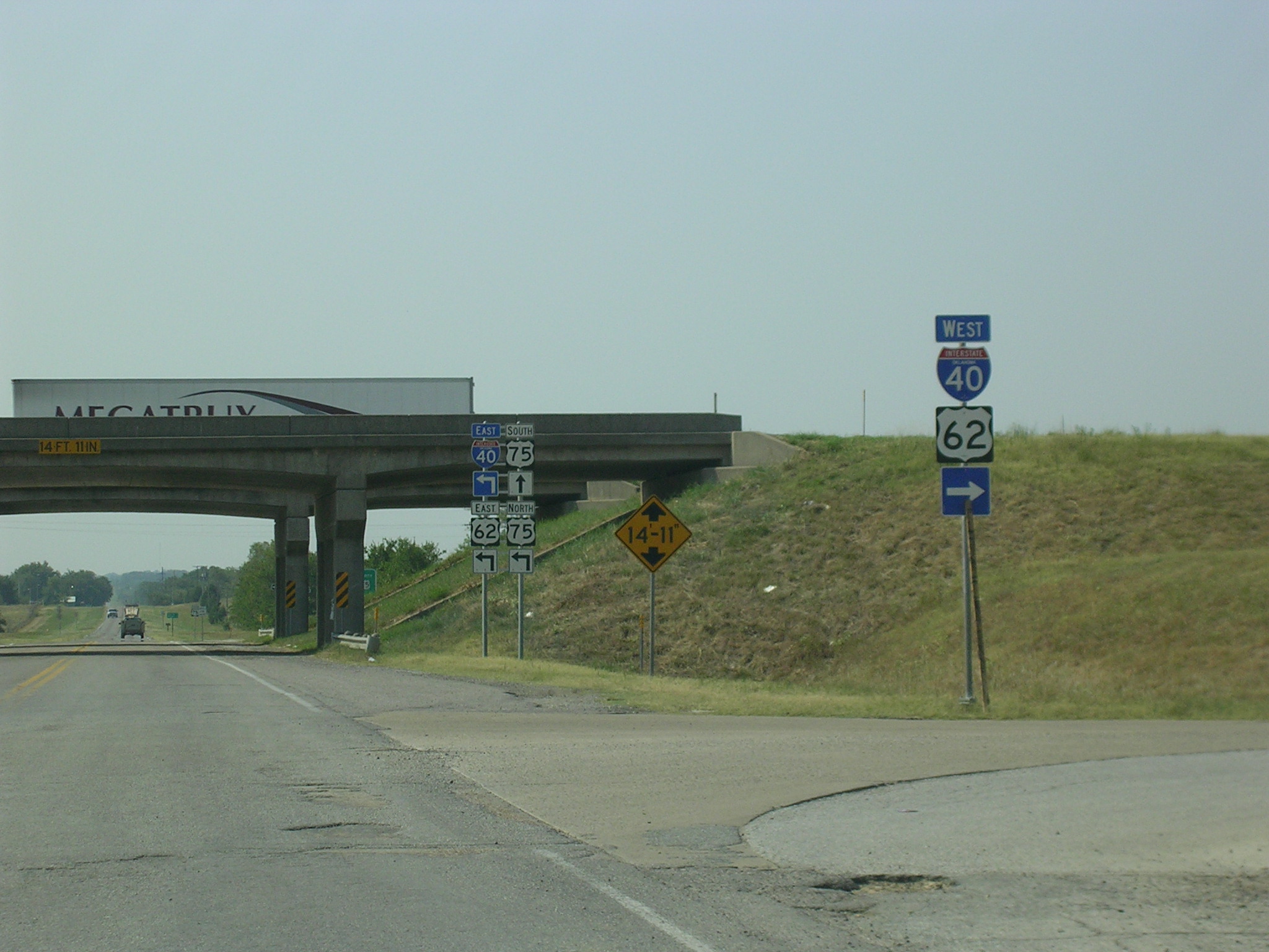 This
is the scene immediately after turning left at the intersection in the
previous photo. Back at I-40.
This
is the scene immediately after turning left at the intersection in the
previous photo. Back at I-40.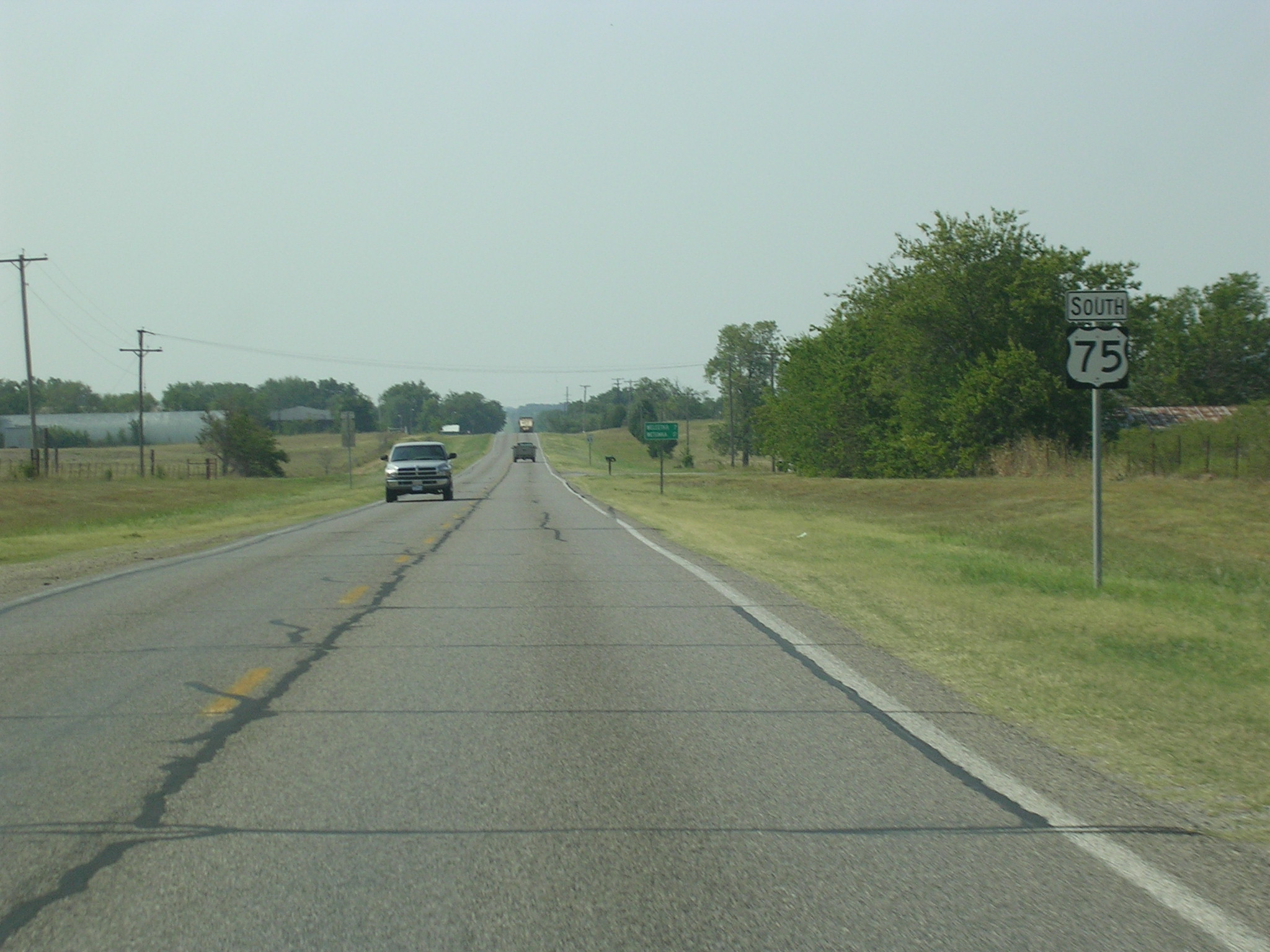 South
US 75 picks up at the interstate.
South
US 75 picks up at the interstate. Just
a US 75 scene.
Just
a US 75 scene.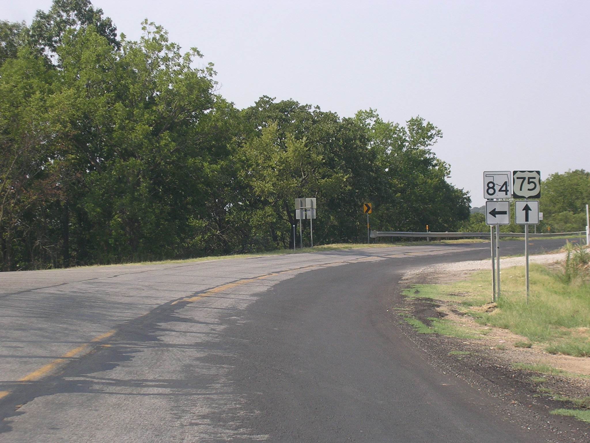 A
bend in the road brings OK 84 to the picture.
A
bend in the road brings OK 84 to the picture.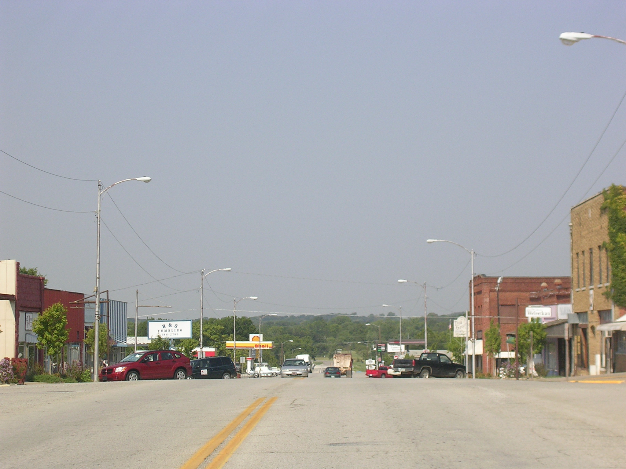 I'm
gonna hedge my bets and say this is Weleetka.
I'm
gonna hedge my bets and say this is Weleetka.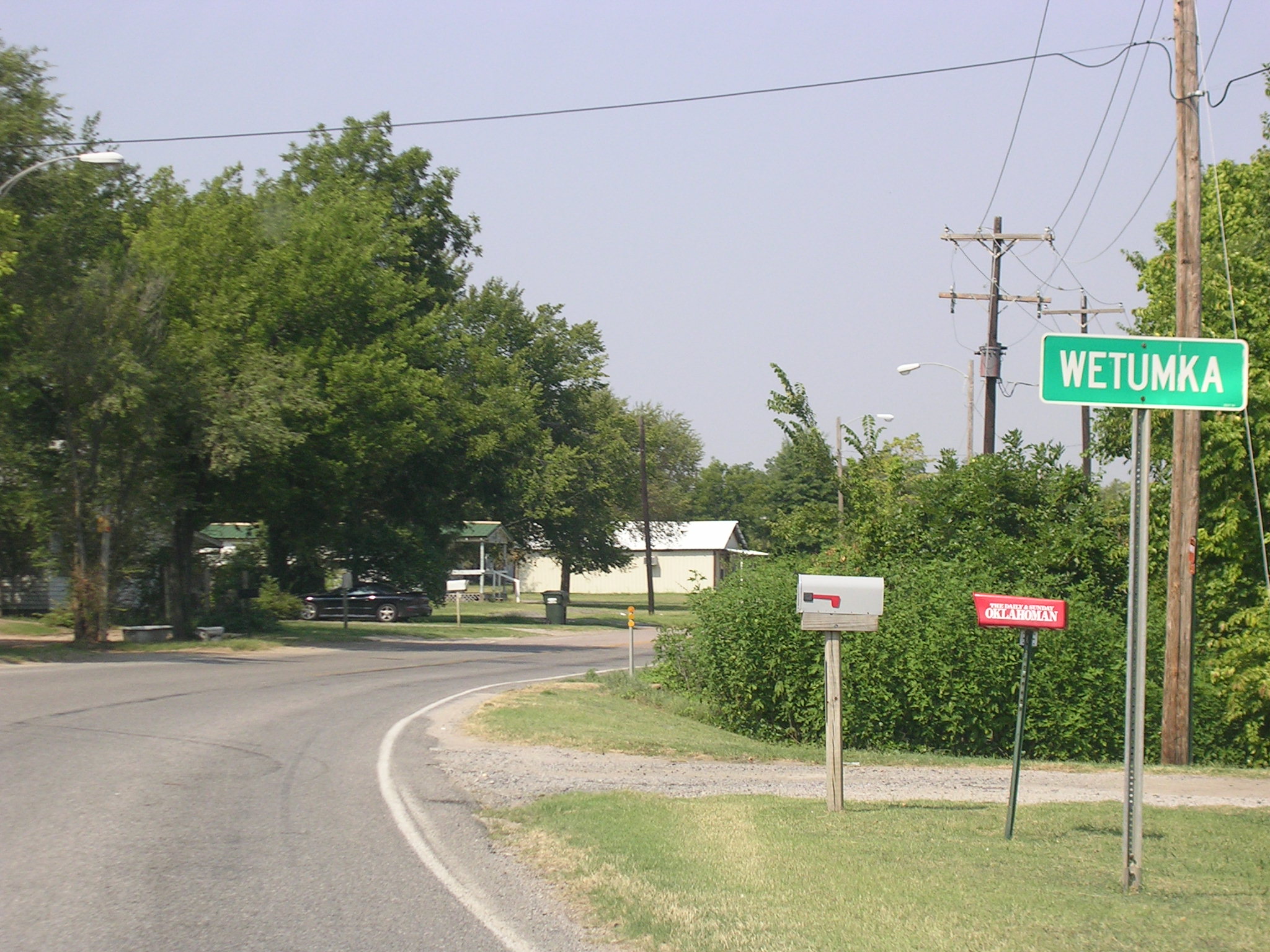 Don't
have to guess on this one.
Don't
have to guess on this one.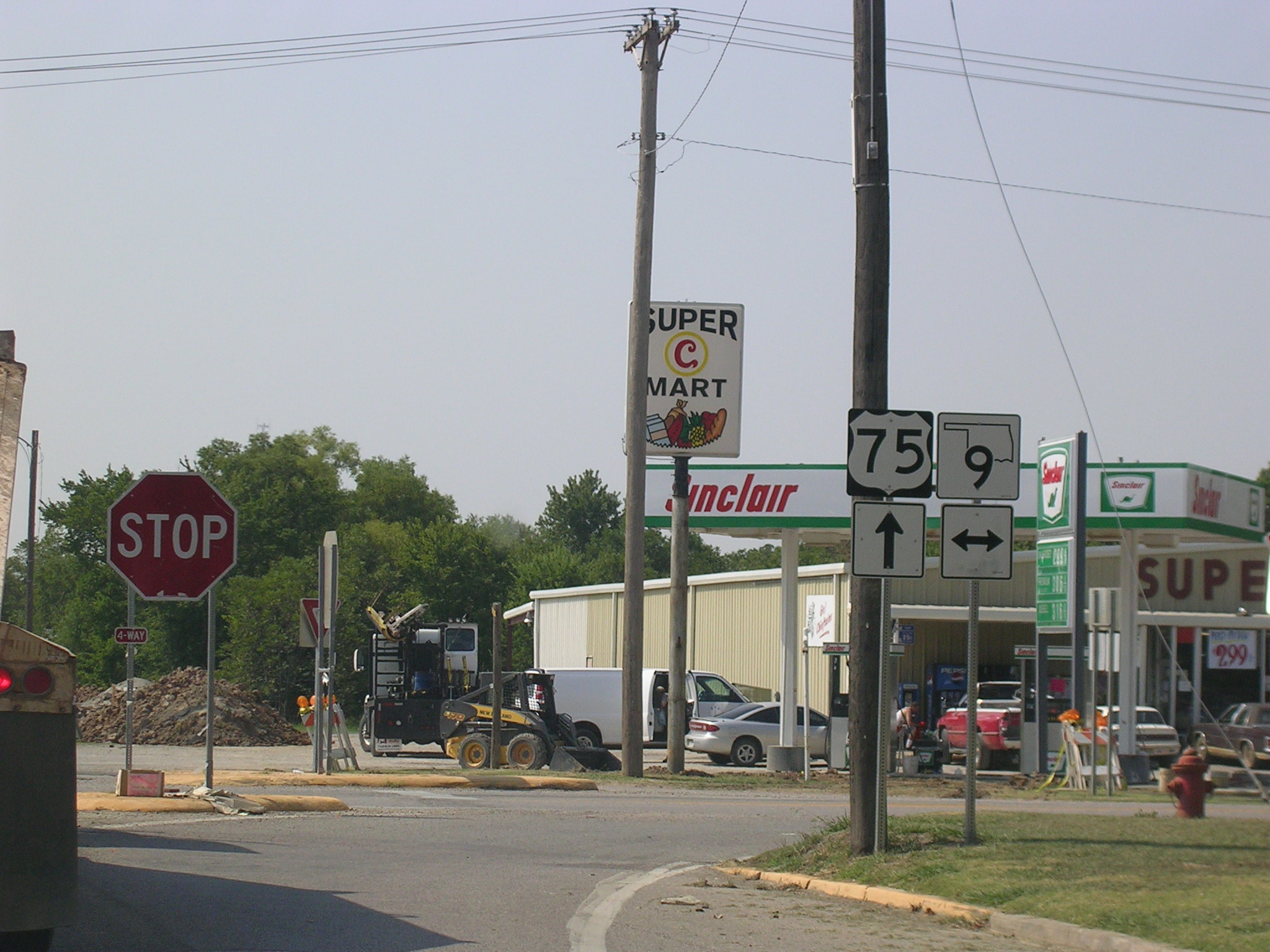 Here's
OK 9 in Wetumka.
Here's
OK 9 in Wetumka. Ten
miles to the south, in the middle of nowhere, we come upon US 270.
Ten
miles to the south, in the middle of nowhere, we come upon US 270. Some
hot shield-on-shield action!
Some
hot shield-on-shield action!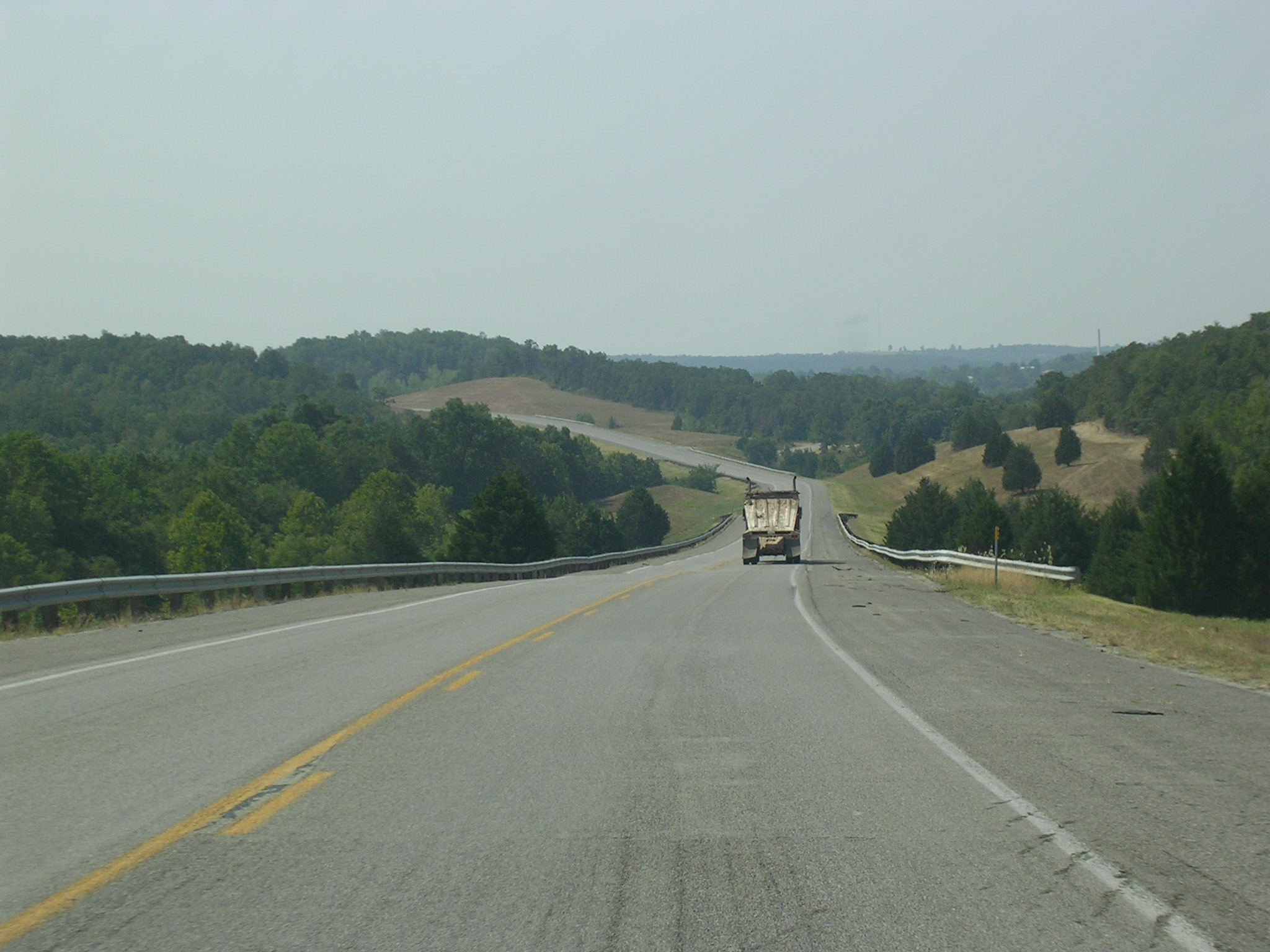 Everything
looked prettier in person. The cameras don't do Oklahoma justice.
Everything
looked prettier in person. The cameras don't do Oklahoma justice. Aha!
A change of pace: we've just turned west on OK 1.
Aha!
A change of pace: we've just turned west on OK 1.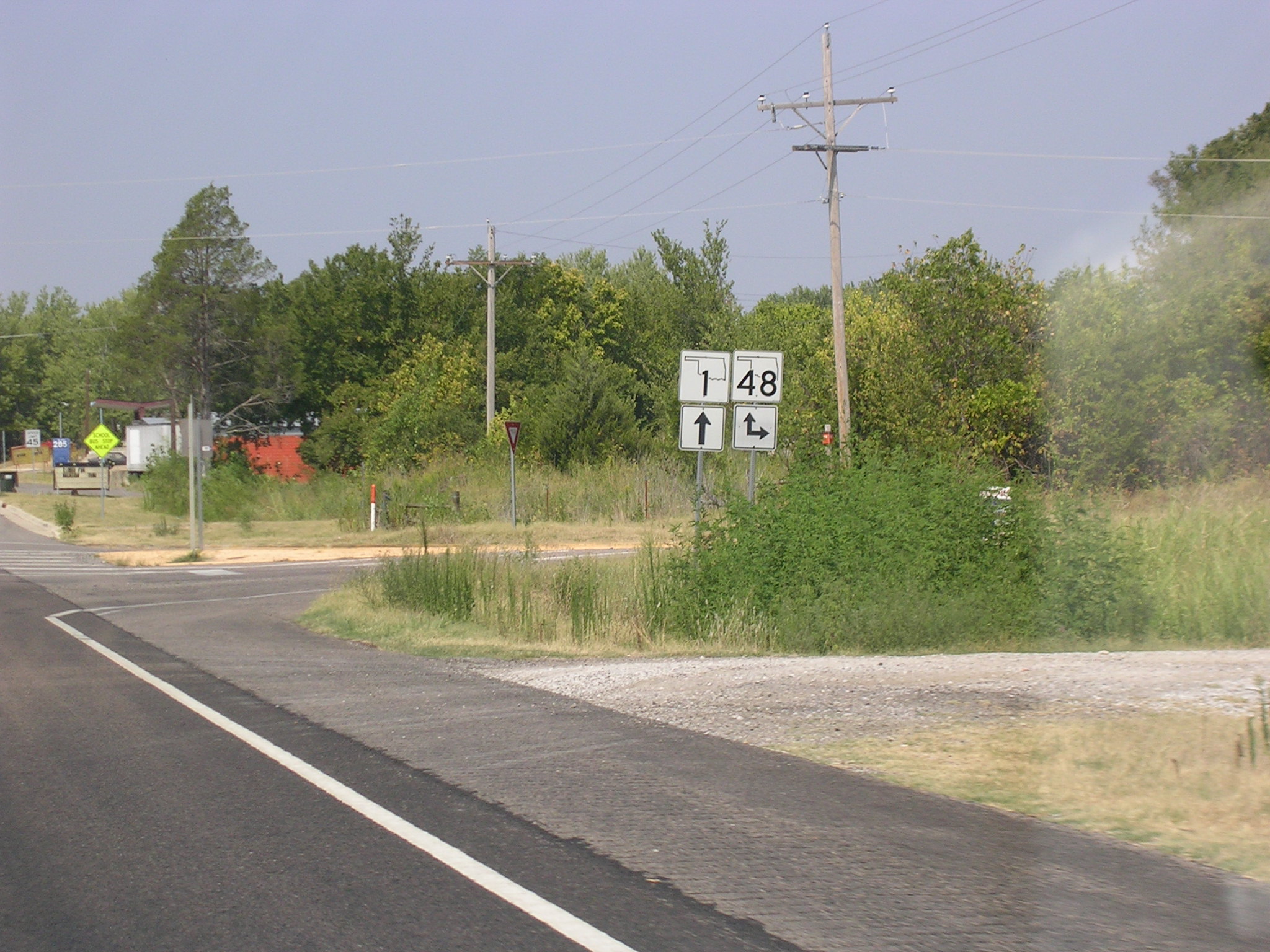 OK
1 and OK 48 hook up at Atwood, along the Canadian River.
OK
1 and OK 48 hook up at Atwood, along the Canadian River. OK
48 south. Not really a transcontinental route, huh?
OK
48 south. Not really a transcontinental route, huh?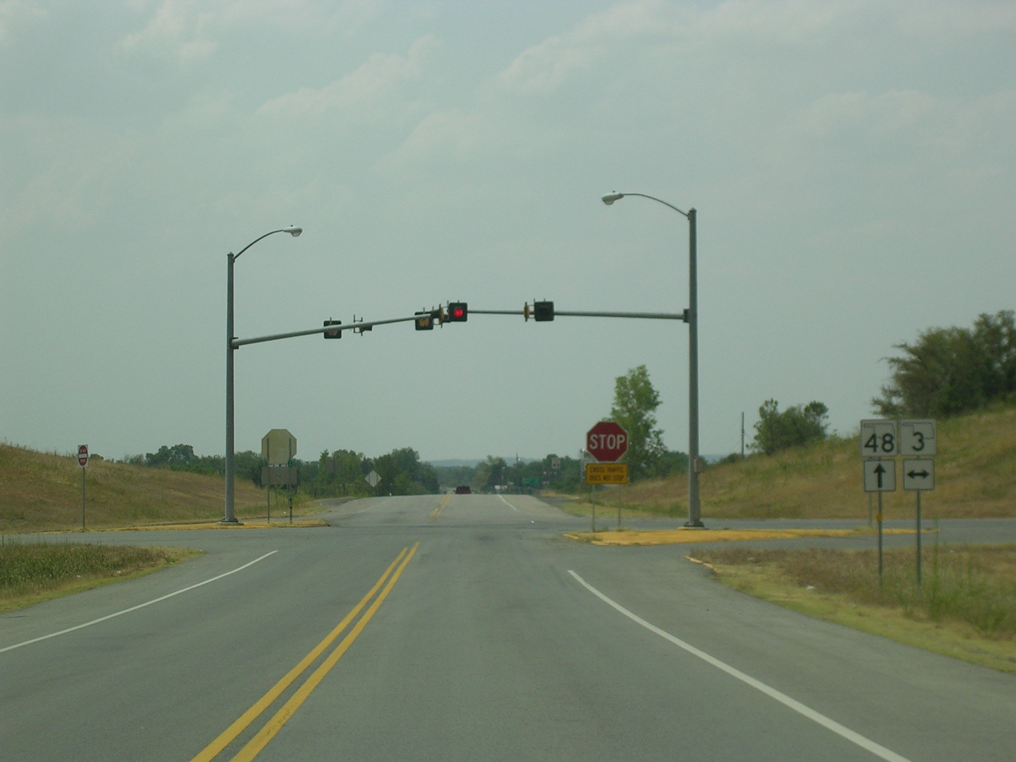 It
would have been scary to have that "Cross Traffic Does Not Stop" sign if
there was any traffic on OK 3.
It
would have been scary to have that "Cross Traffic Does Not Stop" sign if
there was any traffic on OK 3. Old
sign meets new sign.
Old
sign meets new sign.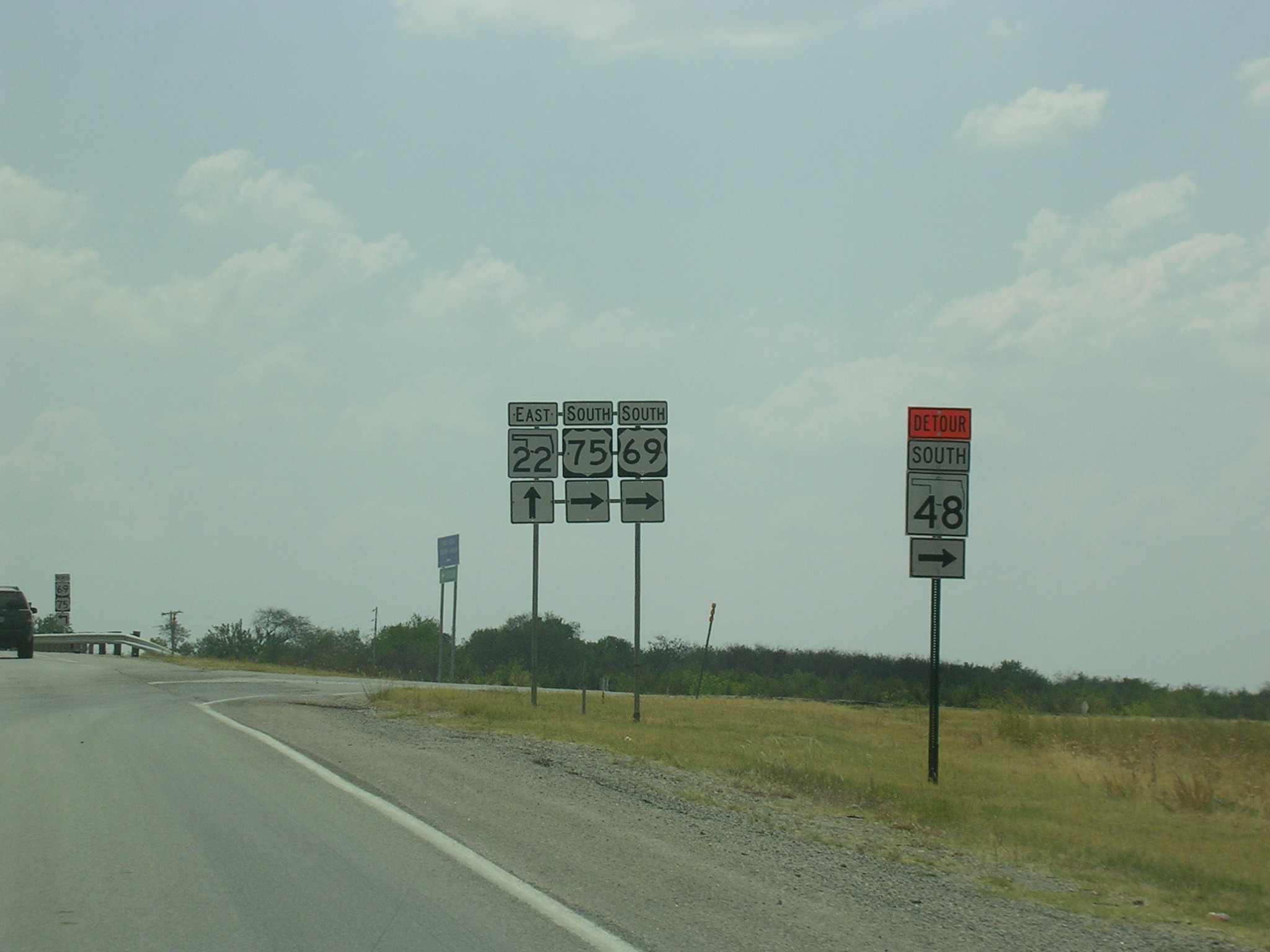 OK
48 was detoured at OK 22 for construction, so I took the detour eastward to
US 69-75.
OK
48 was detoured at OK 22 for construction, so I took the detour eastward to
US 69-75. The
road is a complete freeway here, but US 69 is an expressway (at least) from
I-44 in the north to the Texas line in the south.
The
road is a complete freeway here, but US 69 is an expressway (at least) from
I-44 in the north to the Texas line in the south. 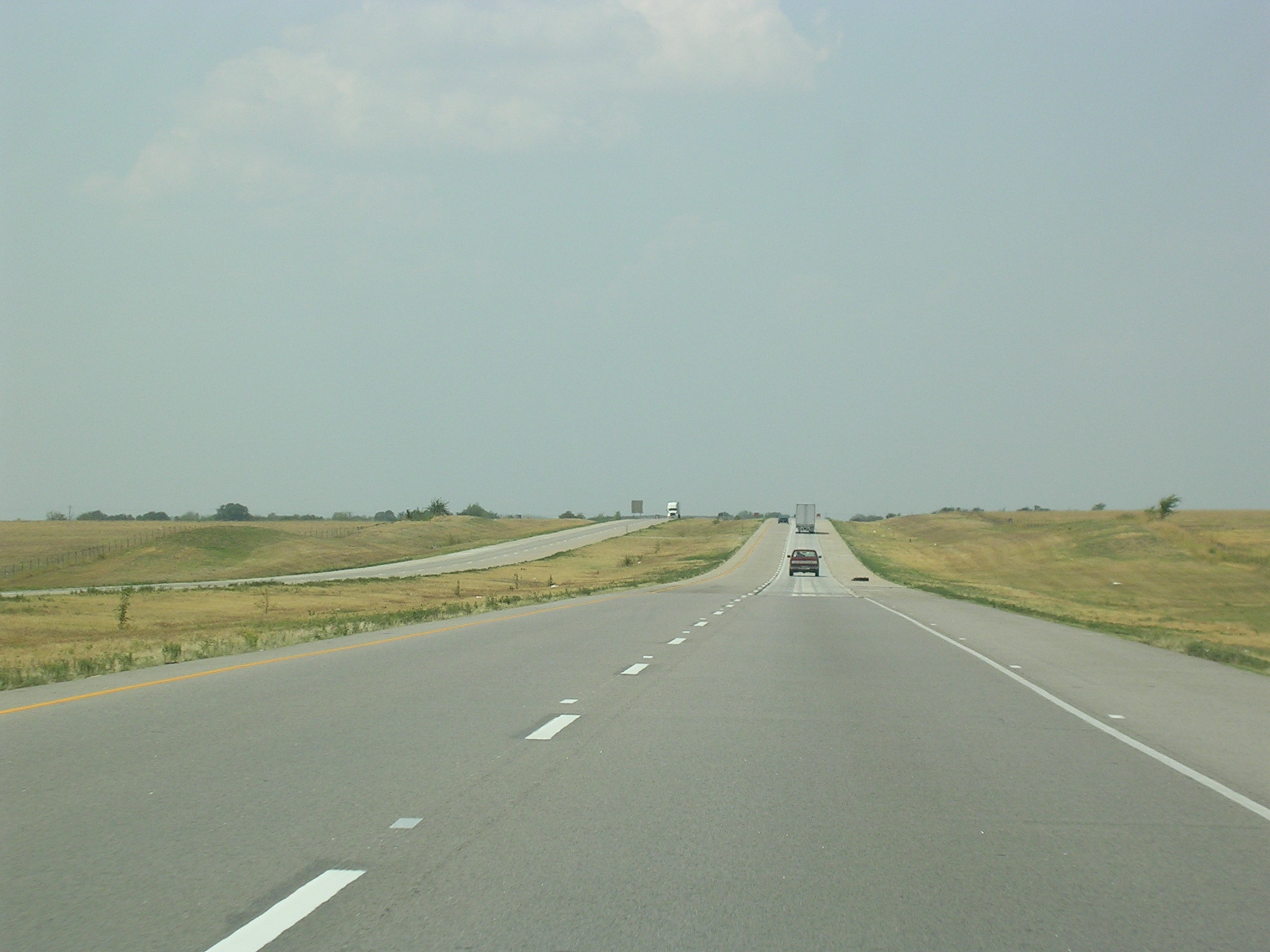 Although
it looks pretty empty, US 69 is a big truck route throughout the state.
Although
it looks pretty empty, US 69 is a big truck route throughout the state.