North
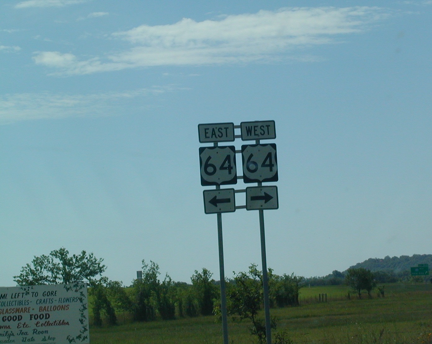
US 64 shield in Warner. This is the same intersection as the previous
picture, just a bit further north. The road doesn't look like this
anymore, it now new and black asphalt, 4-lanes, and an asphalt median. North
US 64 shield in Warner. This is the same intersection as the previous
picture, just a bit further north. The road doesn't look like this
anymore, it now new and black asphalt, 4-lanes, and an asphalt median. |
 I
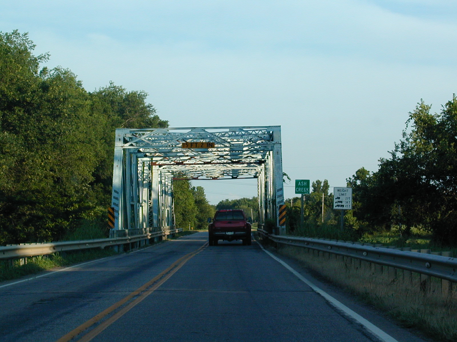
don't know if this is US 64 or what, but somewhere in northwest Muskogee
County, this road crosses the Ash Creek on a nice, old bridge. This
may be on the multiplex of US 64 and OK 72, but I dunno. I
don't know if this is US 64 or what, but somewhere in northwest Muskogee
County, this road crosses the Ash Creek on a nice, old bridge. This
may be on the multiplex of US 64 and OK 72, but I dunno. |
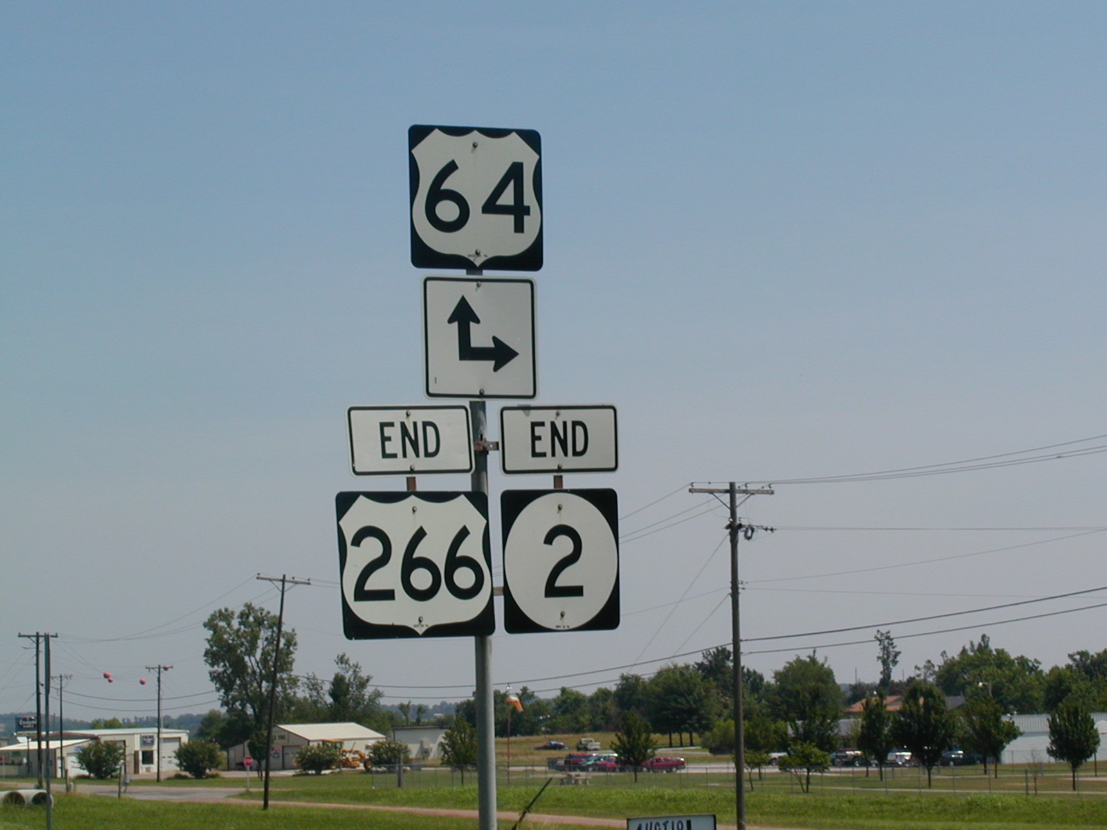
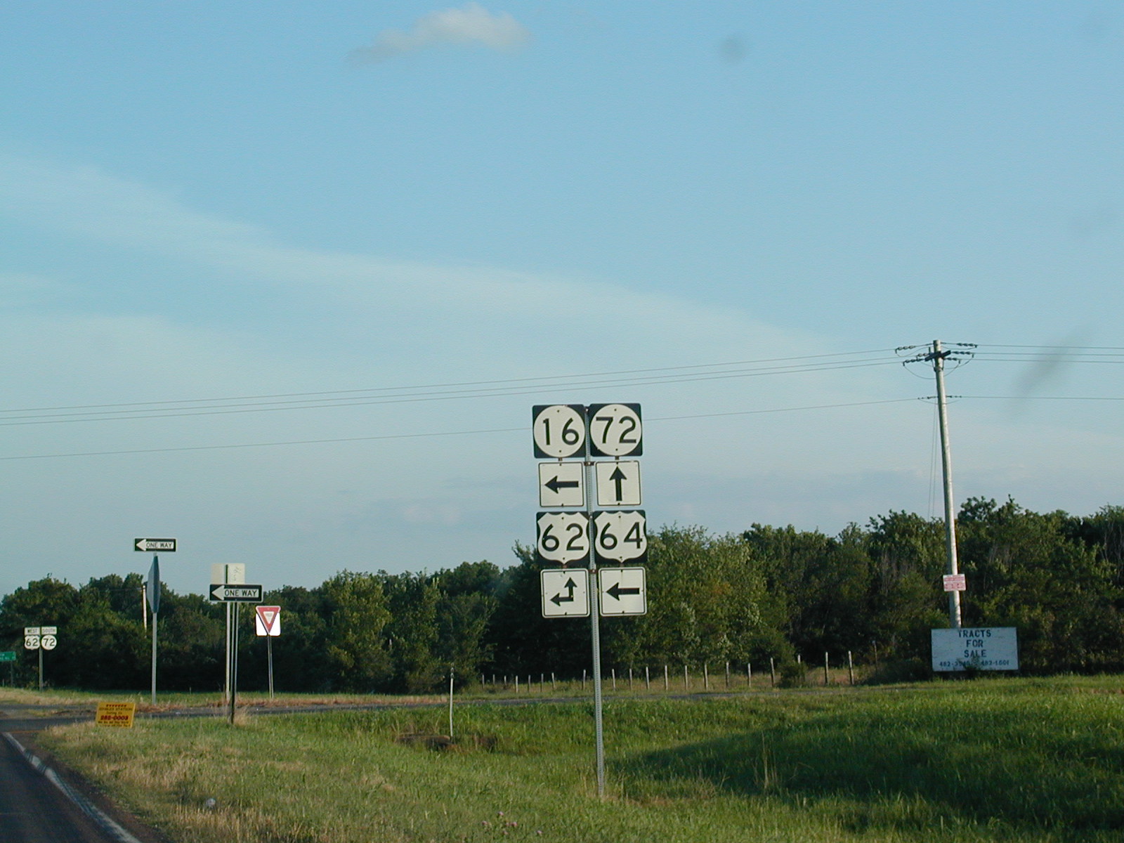
 This
is the intersection of US 62, US 64, OK 16, and OK 72 due west of Muskogee
about 15 miles. This vantage point is from US 64/OK 72 southbound.
US 64 eastbound is about to turn toward Muskogee and we're about to pick up
US 62 westbound. OK 16 heads off to the west from here. This
is the intersection of US 62, US 64, OK 16, and OK 72 due west of Muskogee
about 15 miles. This vantage point is from US 64/OK 72 southbound.
US 64 eastbound is about to turn toward Muskogee and we're about to pick up
US 62 westbound. OK 16 heads off to the west from here.
|
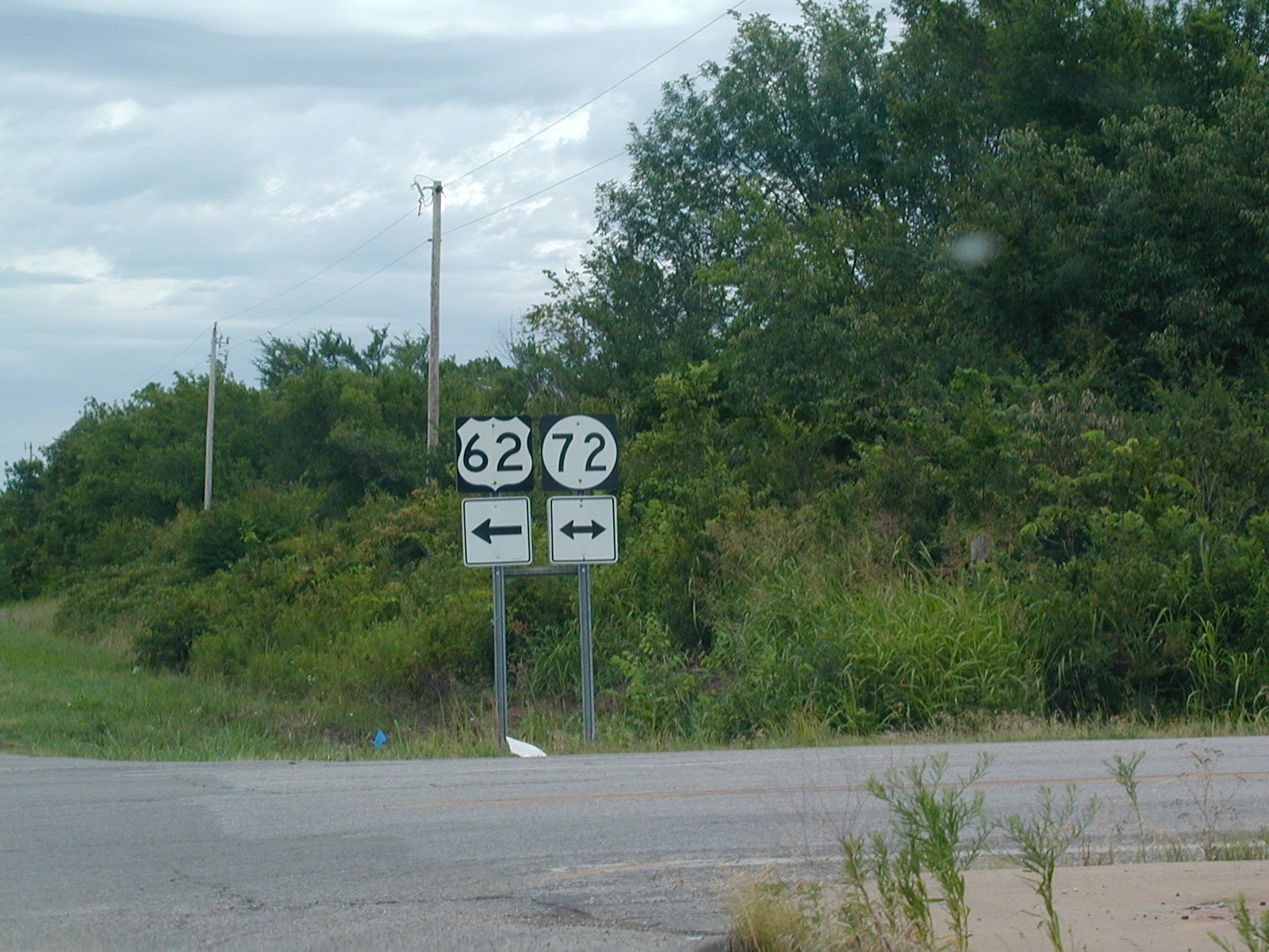
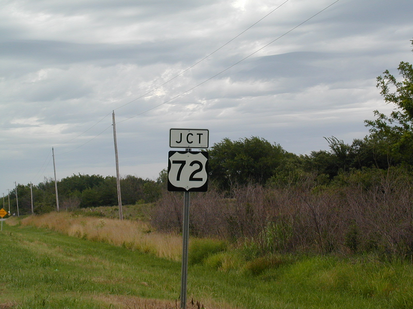
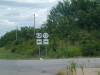 This
is where US 62 connects with OK 72. You can't see the road, but
straight ahead is the Wainwright Rd., which leads to US 69. Council
Hill is to the left a few miles. This
is where US 62 connects with OK 72. You can't see the road, but
straight ahead is the Wainwright Rd., which leads to US 69. Council
Hill is to the left a few miles. |
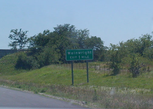 This
is the exit that I know the best: Wainwright Rd. and US 69. Exiting
here will take you 7 miles through the countryside to the town of
Wainwright, which is but a mile or so from my grandparents' house.
This is from the US 69 freeway SB south of Muskogee in Muskogee County.
This
is the exit that I know the best: Wainwright Rd. and US 69. Exiting
here will take you 7 miles through the countryside to the town of
Wainwright, which is but a mile or so from my grandparents' house.
This is from the US 69 freeway SB south of Muskogee in Muskogee County. This
is the Wainwright Rd. eastbound at US 69. This sign shows how to get
to Checotah (in McIntosh County). My grandparents are behind us in
this pic.
This
is the Wainwright Rd. eastbound at US 69. This sign shows how to get
to Checotah (in McIntosh County). My grandparents are behind us in
this pic.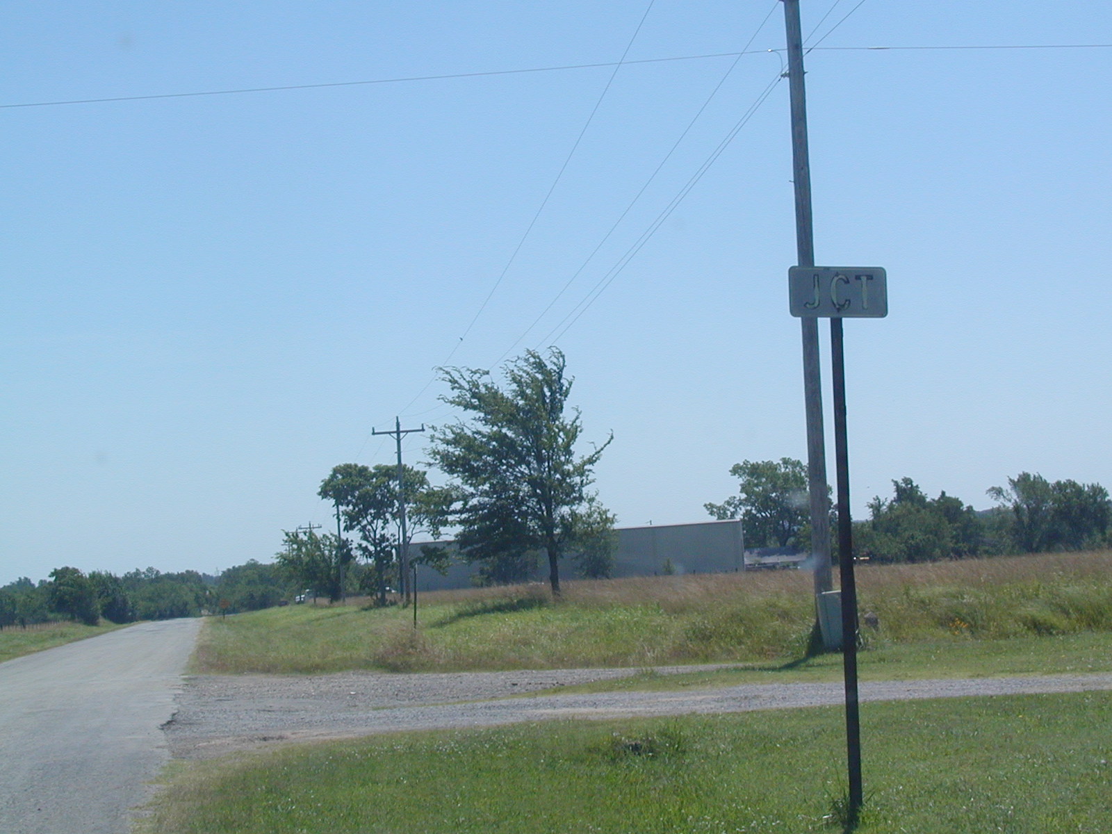 A
relic of the past: the remnants of a JCT US 69 assembly on the Wainwright
Rd. east of the US 69 freeway. Route 69 used to be a 2-laner and
Wainwright Rd. ended just ahead at the road. Now it is just a
non-maintained through road from Muskogee to Lake Eufaula.
A
relic of the past: the remnants of a JCT US 69 assembly on the Wainwright
Rd. east of the US 69 freeway. Route 69 used to be a 2-laner and
Wainwright Rd. ended just ahead at the road. Now it is just a
non-maintained through road from Muskogee to Lake Eufaula. This
is the old US 69, which is a pretty handy way to avoid truck traffic if
you're driving a farm vehicle. Not too much traffic here.
This
is the old US 69, which is a pretty handy way to avoid truck traffic if
you're driving a farm vehicle. Not too much traffic here.