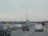
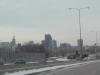
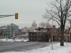
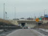
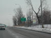
 That's
Minnesota's capitol off in the distance. That's
Minnesota's capitol off in the distance. |
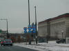
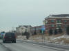
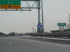
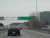
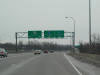
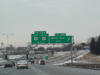 I-94
West at US 10/61 in the outer regions of the city of St. Paul. I-94
West at US 10/61 in the outer regions of the city of St. Paul. |
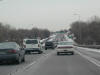
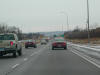
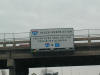 There's
a truck restriction on I-35E for a little while. There's
a truck restriction on I-35E for a little while. |
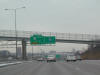 Approaching
central St. Paul. Approaching
central St. Paul. |
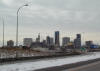
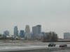
 Part
of the St. Paul skyline. Part
of the St. Paul skyline. |
 A
clearer view. A
clearer view. |
 I-35E
and I-94 shields in downtown St. Paul. We're off the interstate now. I-35E
and I-94 shields in downtown St. Paul. We're off the interstate now. |
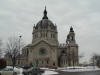 A
pretty church in St. Paul. A
pretty church in St. Paul. |
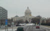
 Downtown
St. Paul, with a look at the capitol building in the distance. Downtown
St. Paul, with a look at the capitol building in the distance. |
 The
I-35E shields have the state name in them, but the I-94 shield does not. The
I-35E shields have the state name in them, but the I-94 shield does not. |
 The
capitol looms ahead. The
capitol looms ahead. |
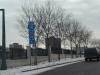
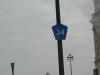 Ramsey
County 34. I don't know which road this is, but it is downtown St.
Paul. Weird to have a county road signed in the city. Ramsey
County 34. I don't know which road this is, but it is downtown St.
Paul. Weird to have a county road signed in the city. |
 The
ramp to MN 280 NB now in Minneapolis. The
ramp to MN 280 NB now in Minneapolis. |
 North
MN 280. North
MN 280. |
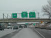
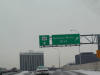
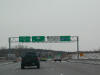
 Route
280 ends at I-35W, which leads to MN 36. Route
280 ends at I-35W, which leads to MN 36. |
 North
I-35W, with what I think must be a milemarker 24 sign underneath. North
I-35W, with what I think must be a milemarker 24 sign underneath. |
 I-35W
has no direction or control cities in this sign bridge. I-35W
has no direction or control cities in this sign bridge. |
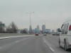 Our
first look at the Minneapolis skyline on I-94 East, which is going south at
this point. Our
first look at the Minneapolis skyline on I-94 East, which is going south at
this point. |
 Closer
view of the Minneapolis skyline. Closer
view of the Minneapolis skyline. |
 West
I-394. West
I-394. |
 The
exit for US 169 from I-394 WB. The
exit for US 169 from I-394 WB. |
 US
169 SB. Route 169 is a small, narrow, busy freeway. US
169 SB. Route 169 is a small, narrow, busy freeway. |
 I
think it's cool that this is the same road that goes through Tulsa, OK. I
think it's cool that this is the same road that goes through Tulsa, OK. |
 US
169 SB approaching US 212 and MN 62. US 212 makes its eastern terminus
here. US
169 SB approaching US 212 and MN 62. US 212 makes its eastern terminus
here. |
 US
169 South at I-494. The freeway has ended temporarily. It kind
of begins and ends a few times I think. US
169 South at I-494. The freeway has ended temporarily. It kind
of begins and ends a few times I think. |
 US
169 is not a freeway here. US
169 is not a freeway here. |
 The
MN 13 exit off US 169 SB. The
MN 13 exit off US 169 SB. |
 This
is still CR 100 I think, approaching MN 13 looking East. This
is still CR 100 I think, approaching MN 13 looking East. |
 This
must be the old-style county road signage. This
must be the old-style county road signage. |
 Quickly
we jump on I-494, then south on US 61, which is also US 10 here. Quickly
we jump on I-494, then south on US 61, which is also US 10 here. |
 That's
Minnesota's capitol off in the distance.
That's
Minnesota's capitol off in the distance.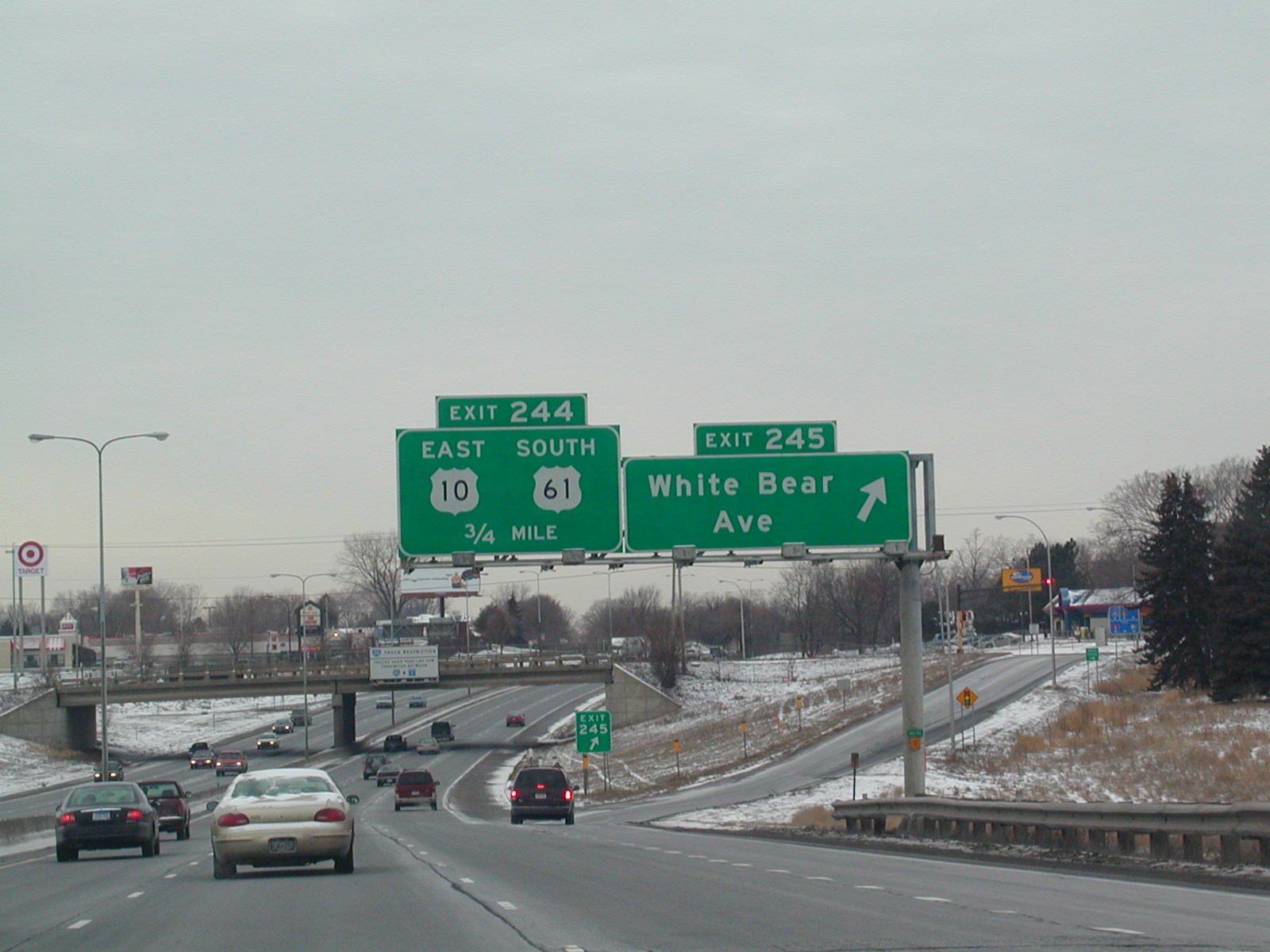 I-94
West at US 10/61 in the outer regions of the city of St. Paul.
I-94
West at US 10/61 in the outer regions of the city of St. Paul.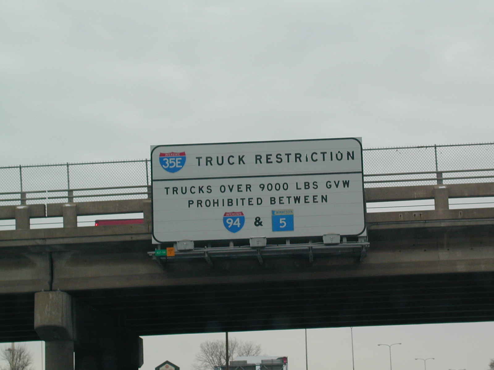 There's
a truck restriction on I-35E for a little while.
There's
a truck restriction on I-35E for a little while.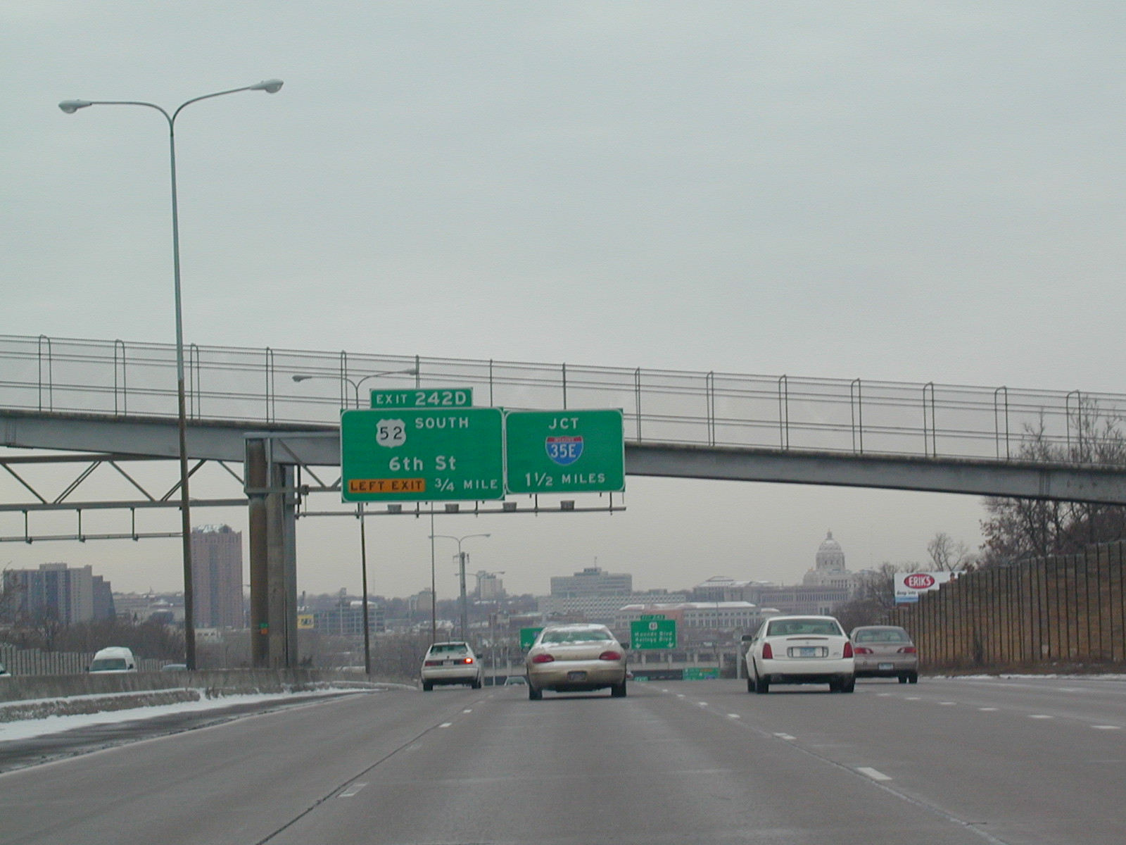 Approaching
central St. Paul.
Approaching
central St. Paul. Part
of the St. Paul skyline.
Part
of the St. Paul skyline. A
clearer view.
A
clearer view.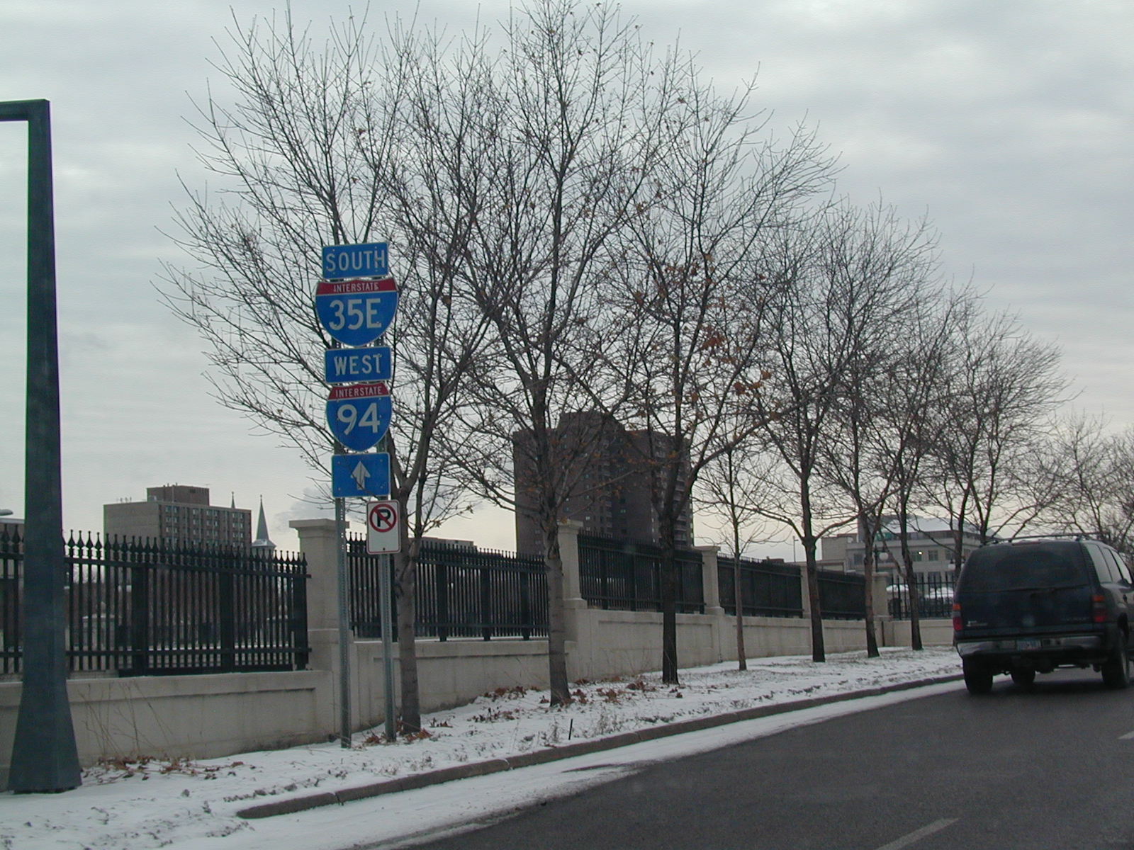 I-35E
and I-94 shields in downtown St. Paul. We're off the interstate now.
I-35E
and I-94 shields in downtown St. Paul. We're off the interstate now.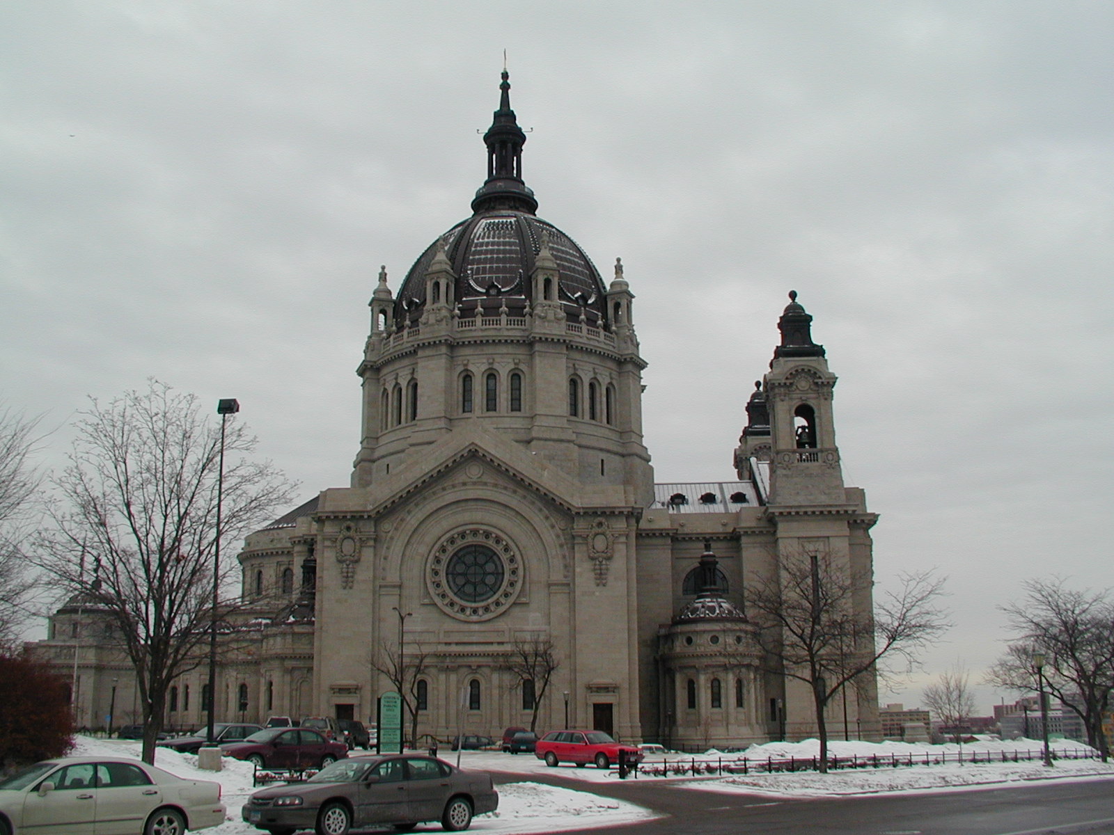 A
pretty church in St. Paul.
A
pretty church in St. Paul.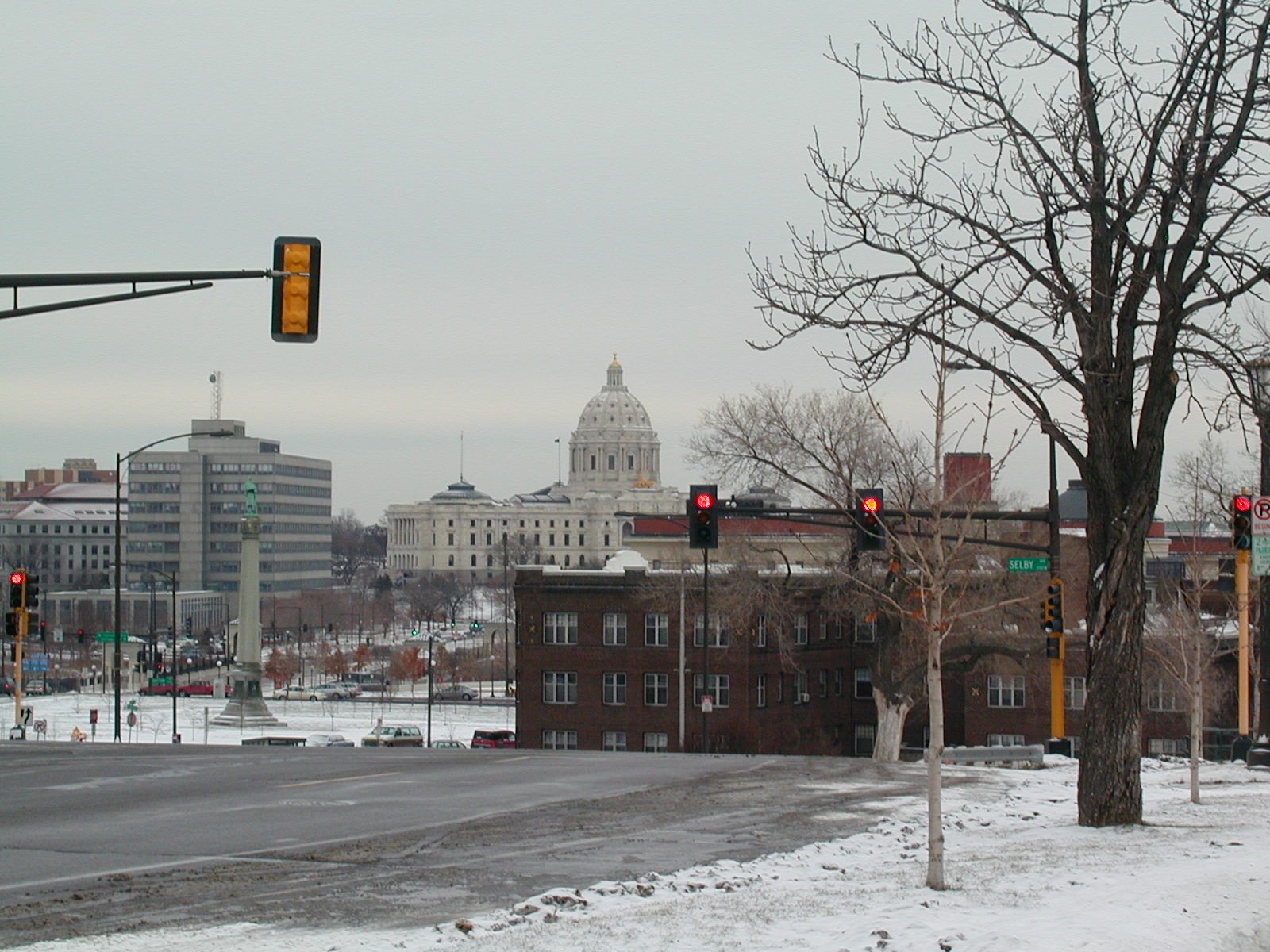 Downtown
St. Paul, with a look at the capitol building in the distance.
Downtown
St. Paul, with a look at the capitol building in the distance.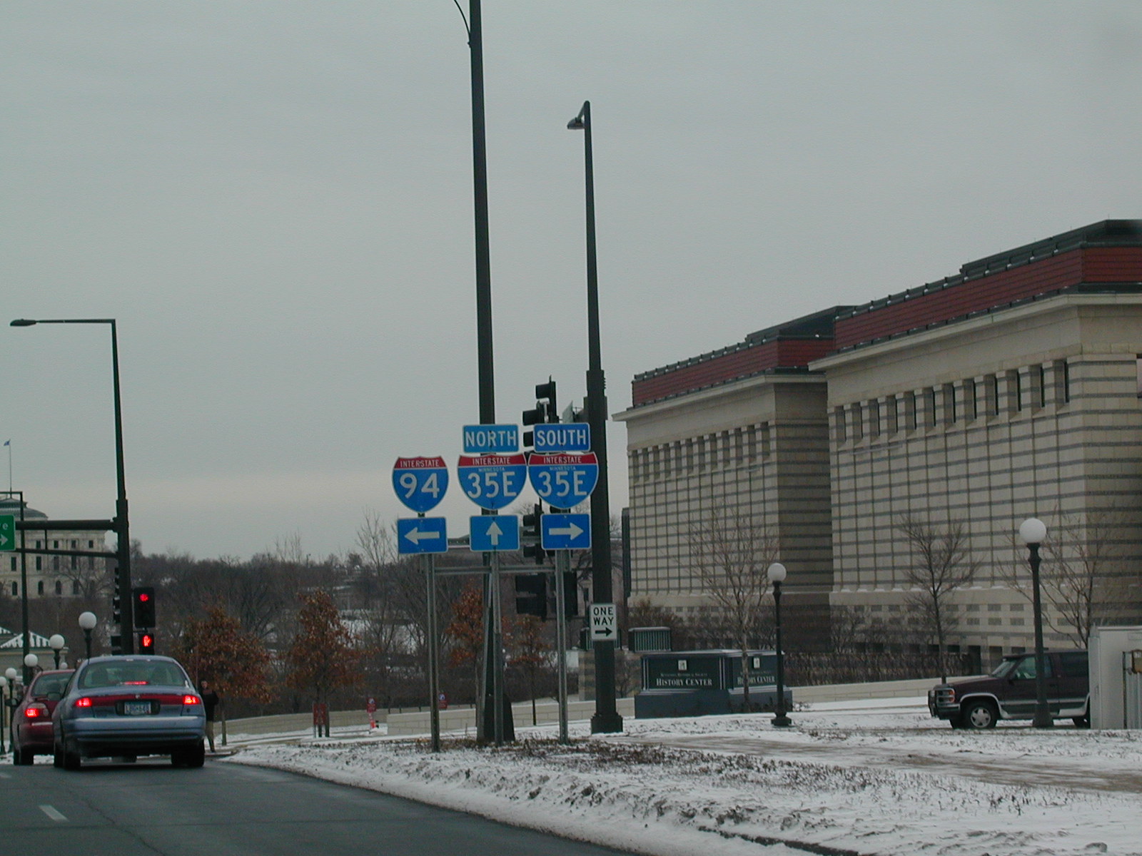 The
I-35E shields have the state name in them, but the I-94 shield does not.
The
I-35E shields have the state name in them, but the I-94 shield does not.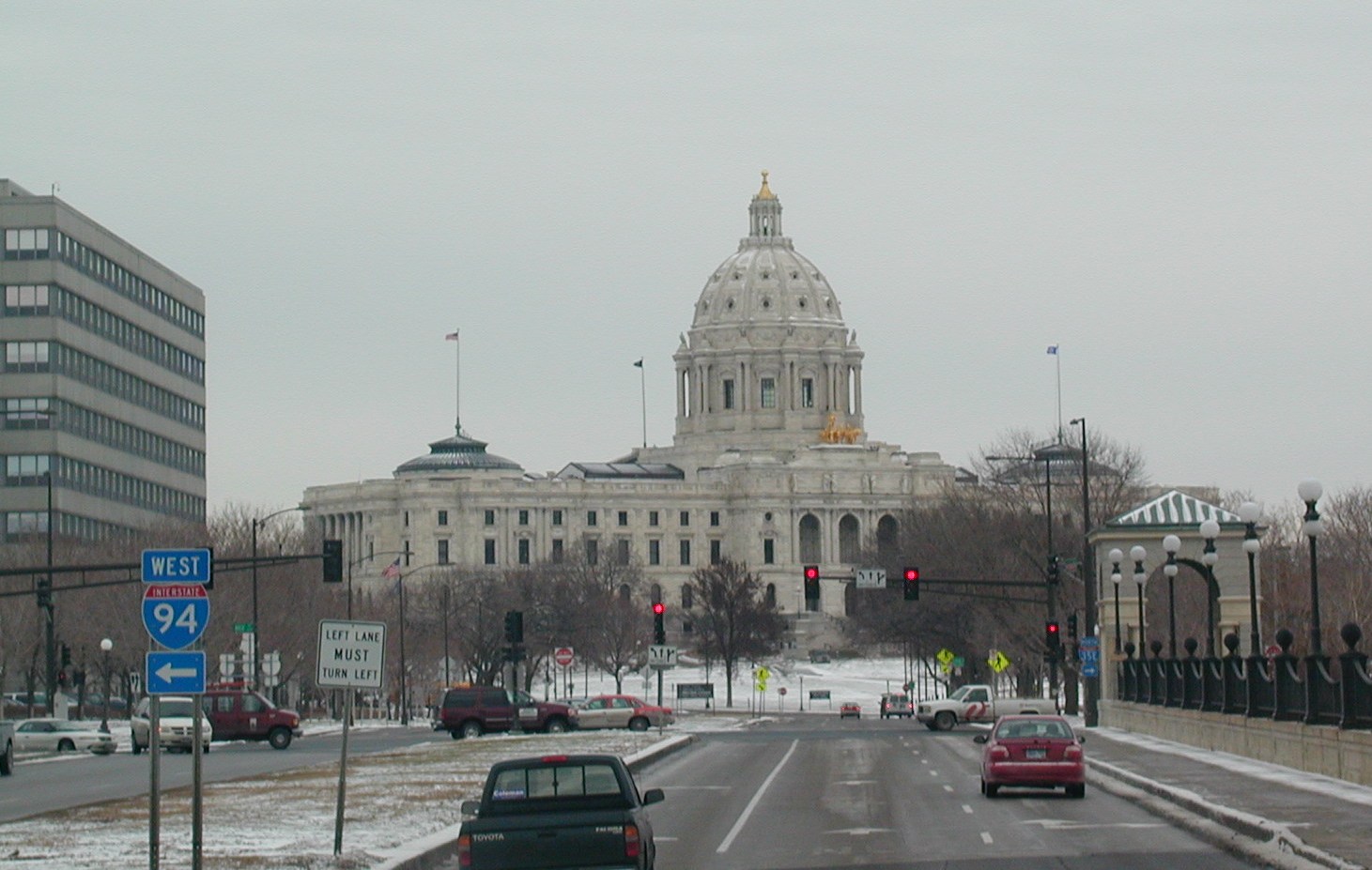 The
capitol looms ahead.
The
capitol looms ahead. Ramsey
County 34. I don't know which road this is, but it is downtown St.
Paul. Weird to have a county road signed in the city.
Ramsey
County 34. I don't know which road this is, but it is downtown St.
Paul. Weird to have a county road signed in the city.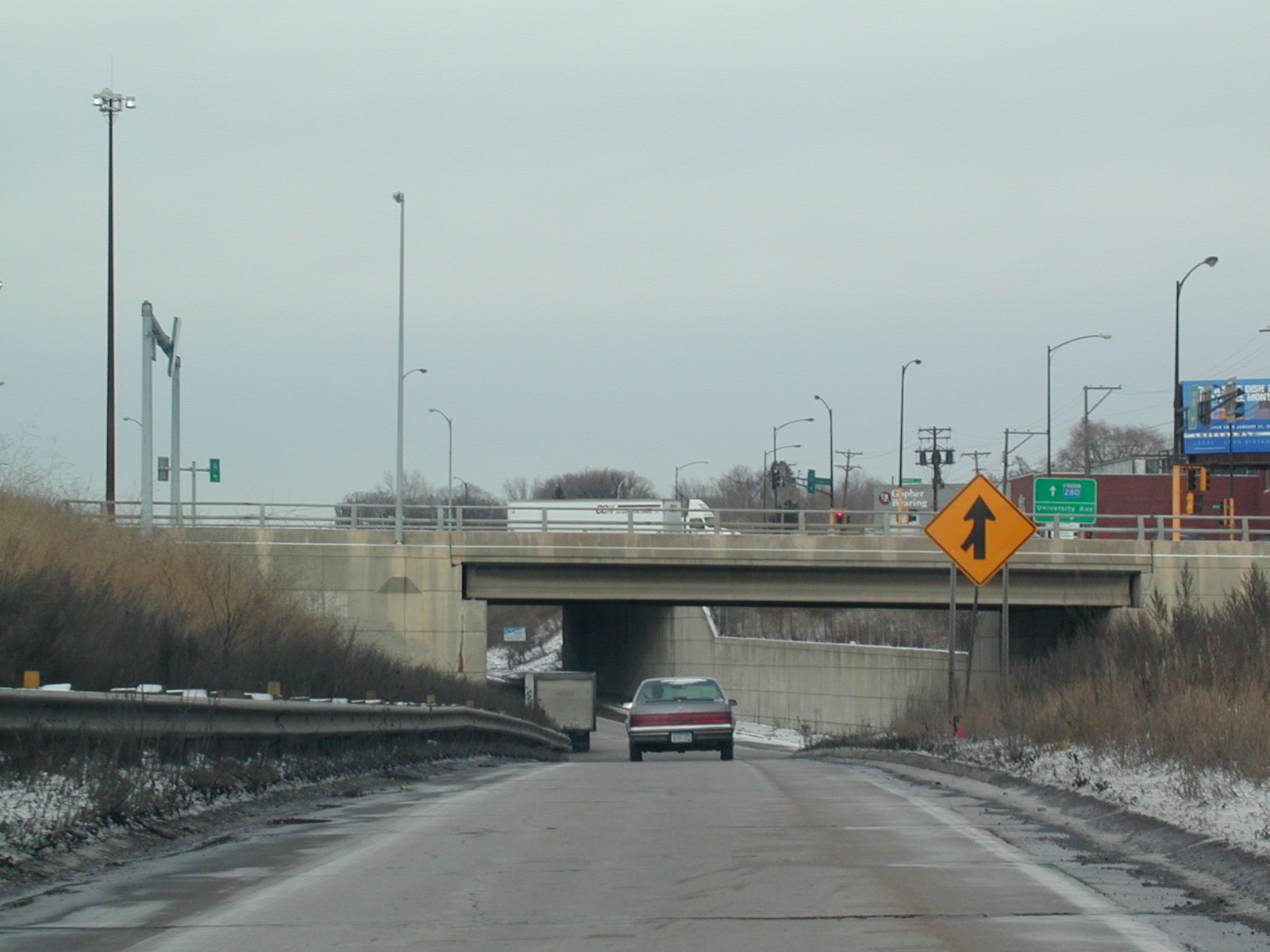 The
ramp to MN 280 NB now in Minneapolis.
The
ramp to MN 280 NB now in Minneapolis.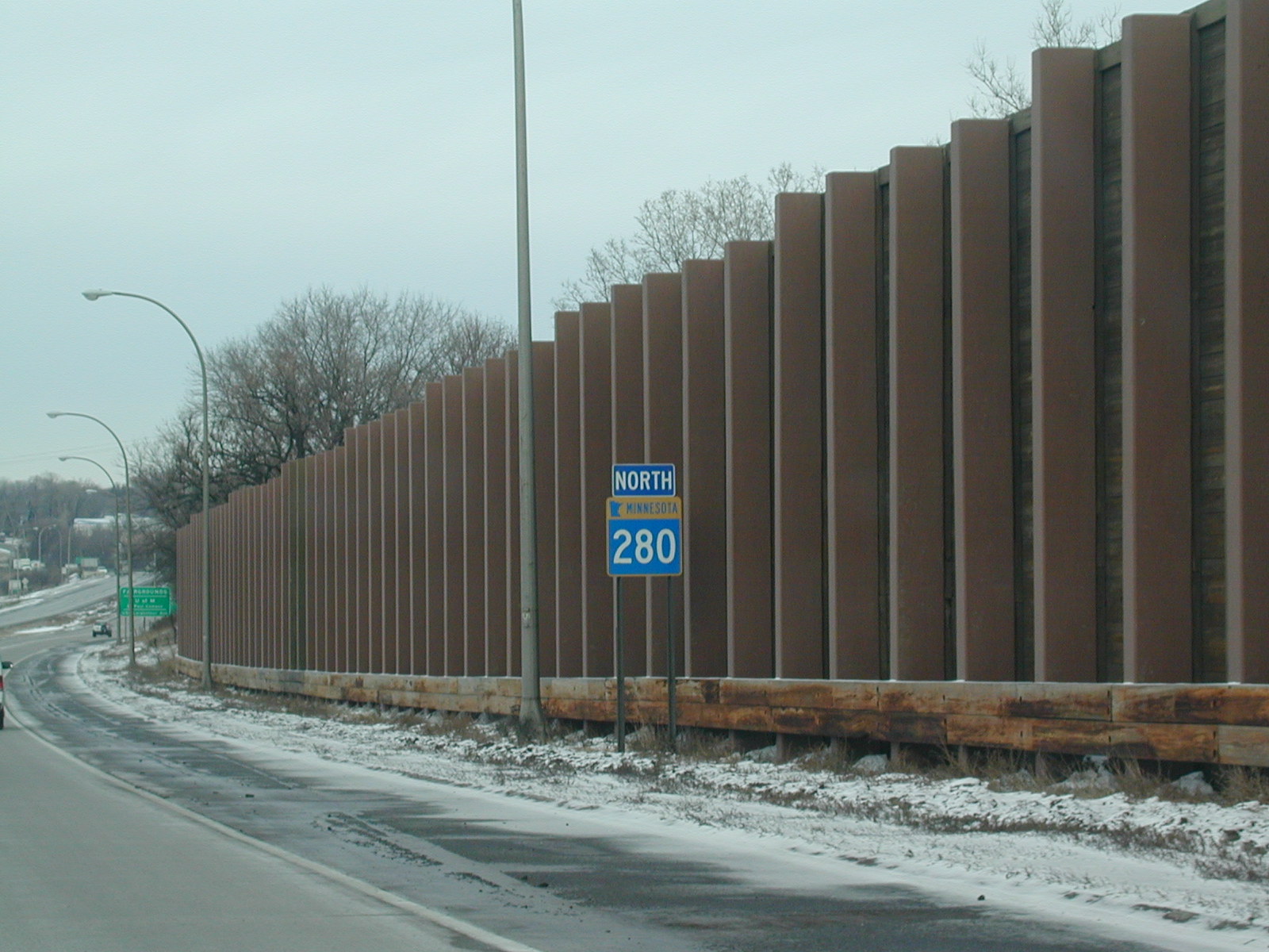 North
MN 280.
North
MN 280.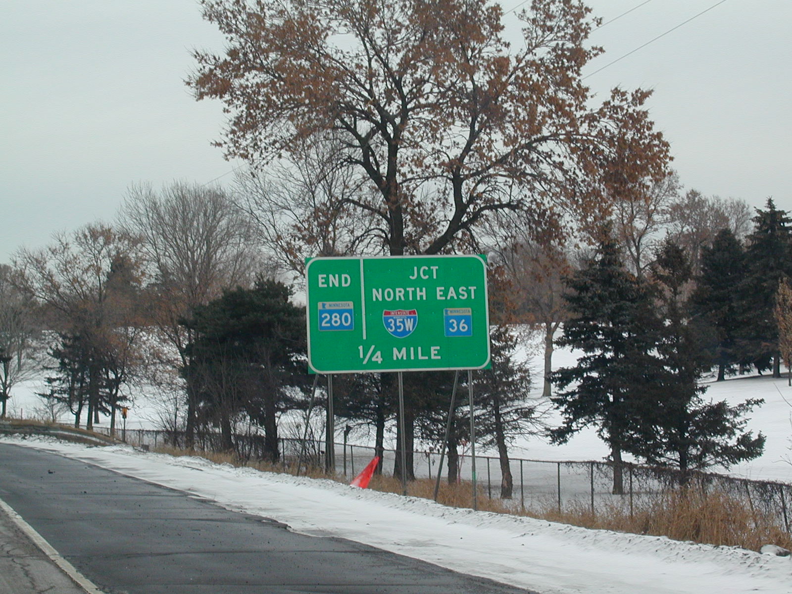 Route
280 ends at I-35W, which leads to MN 36.
Route
280 ends at I-35W, which leads to MN 36.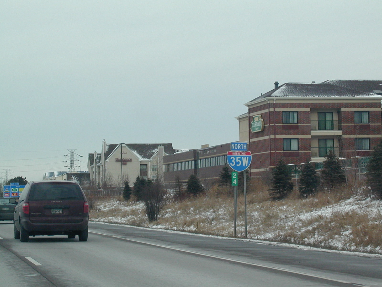 North
I-35W, with what I think must be a milemarker 24 sign underneath.
North
I-35W, with what I think must be a milemarker 24 sign underneath. I-35W
has no direction or control cities in this sign bridge.
I-35W
has no direction or control cities in this sign bridge.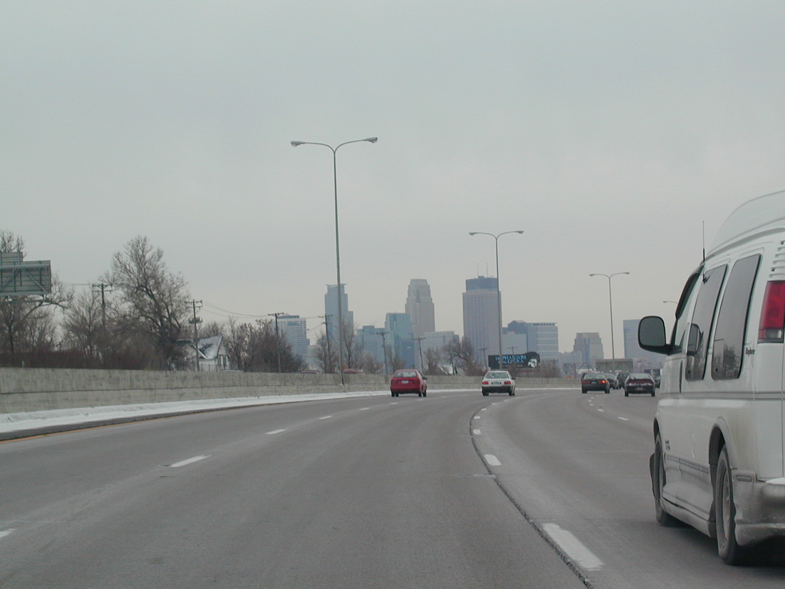 Our
first look at the Minneapolis skyline on I-94 East, which is going south at
this point.
Our
first look at the Minneapolis skyline on I-94 East, which is going south at
this point.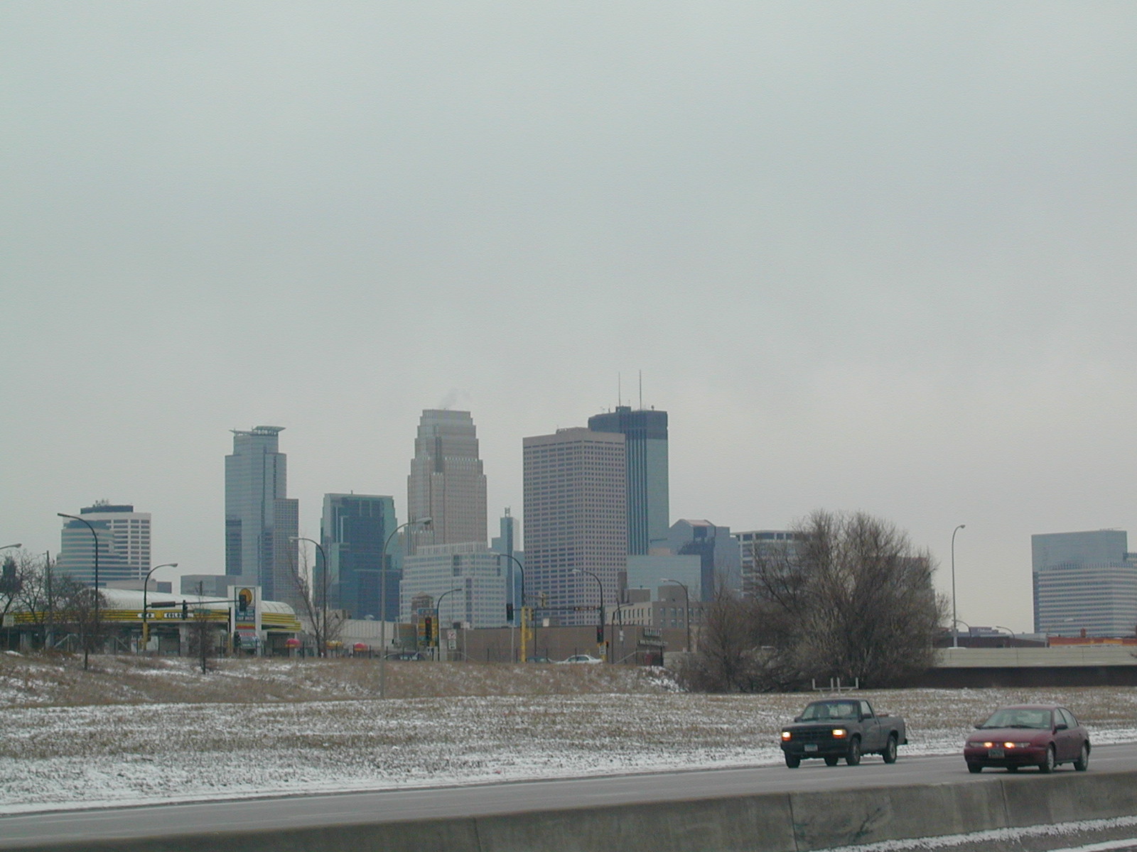 Closer
view of the Minneapolis skyline.
Closer
view of the Minneapolis skyline. West
I-394.
West
I-394.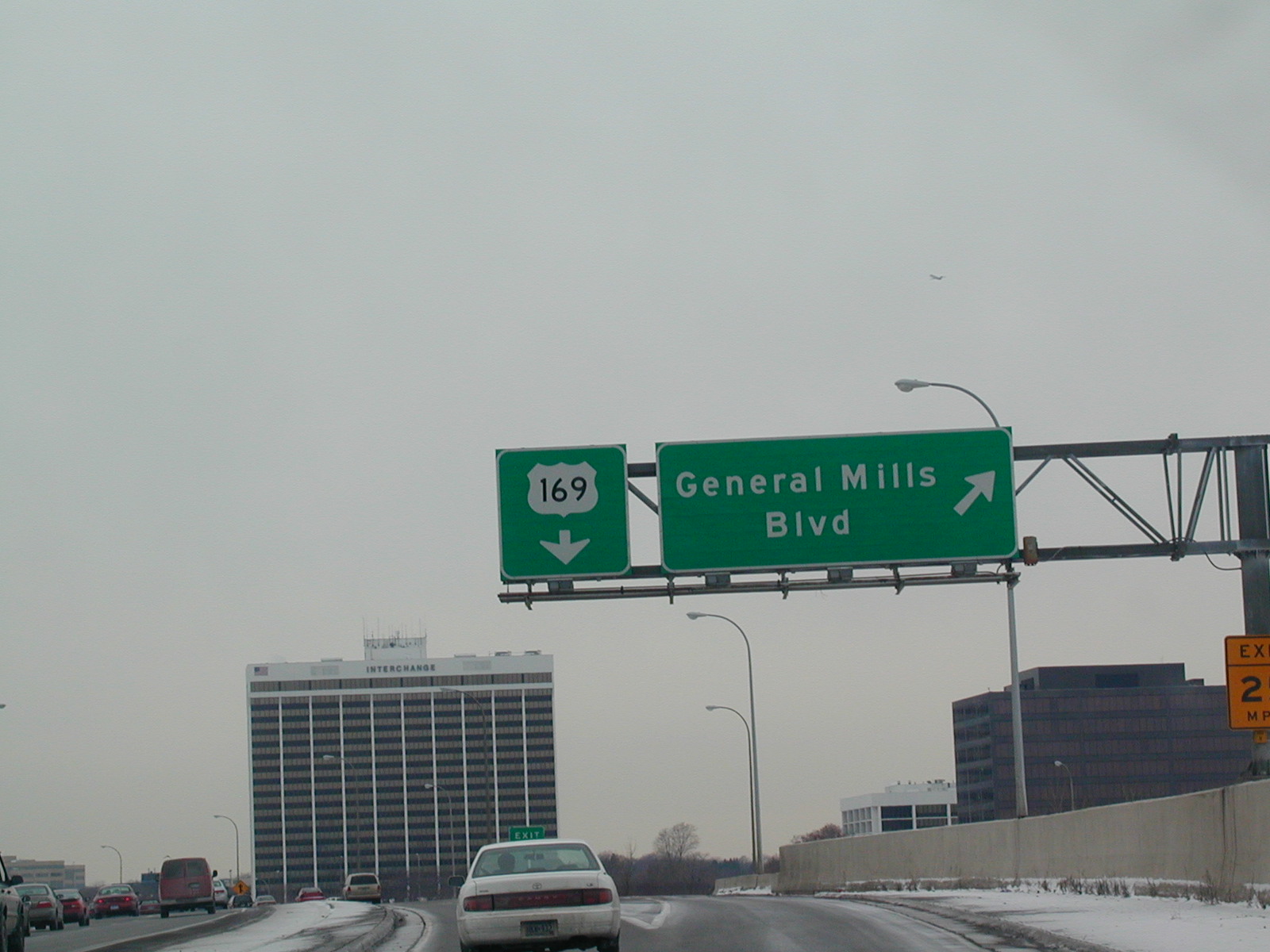 The
exit for US 169 from I-394 WB.
The
exit for US 169 from I-394 WB.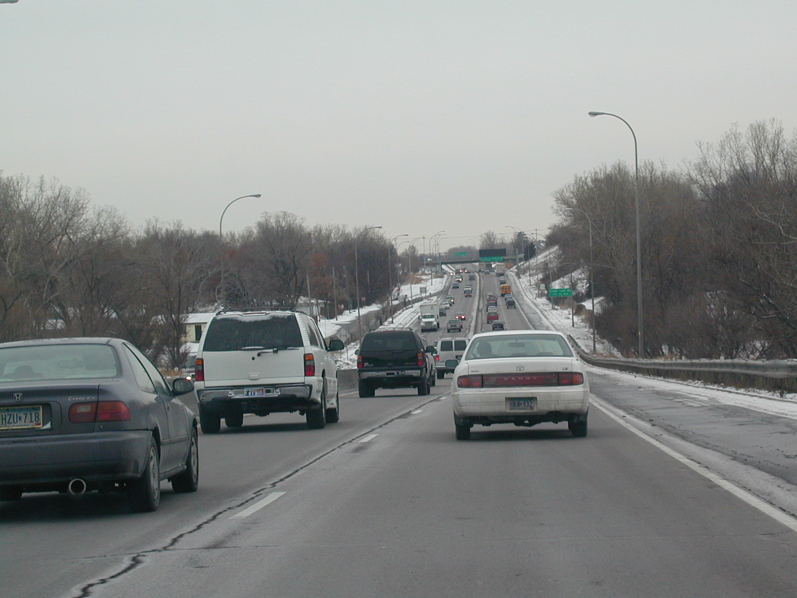 US
169 SB. Route 169 is a small, narrow, busy freeway.
US
169 SB. Route 169 is a small, narrow, busy freeway. I
think it's cool that this is the same road that goes through Tulsa, OK.
I
think it's cool that this is the same road that goes through Tulsa, OK. US
169 SB approaching US 212 and MN 62. US 212 makes its eastern terminus
here.
US
169 SB approaching US 212 and MN 62. US 212 makes its eastern terminus
here. US
169 South at I-494. The freeway has ended temporarily. It kind
of begins and ends a few times I think.
US
169 South at I-494. The freeway has ended temporarily. It kind
of begins and ends a few times I think.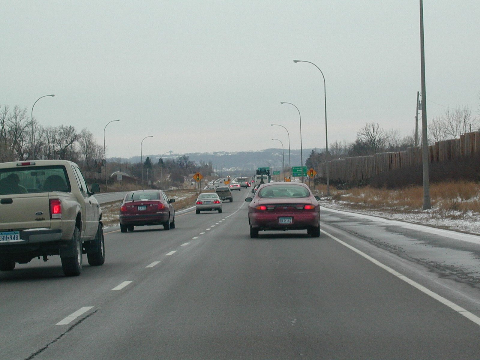 US
169 is not a freeway here.
US
169 is not a freeway here.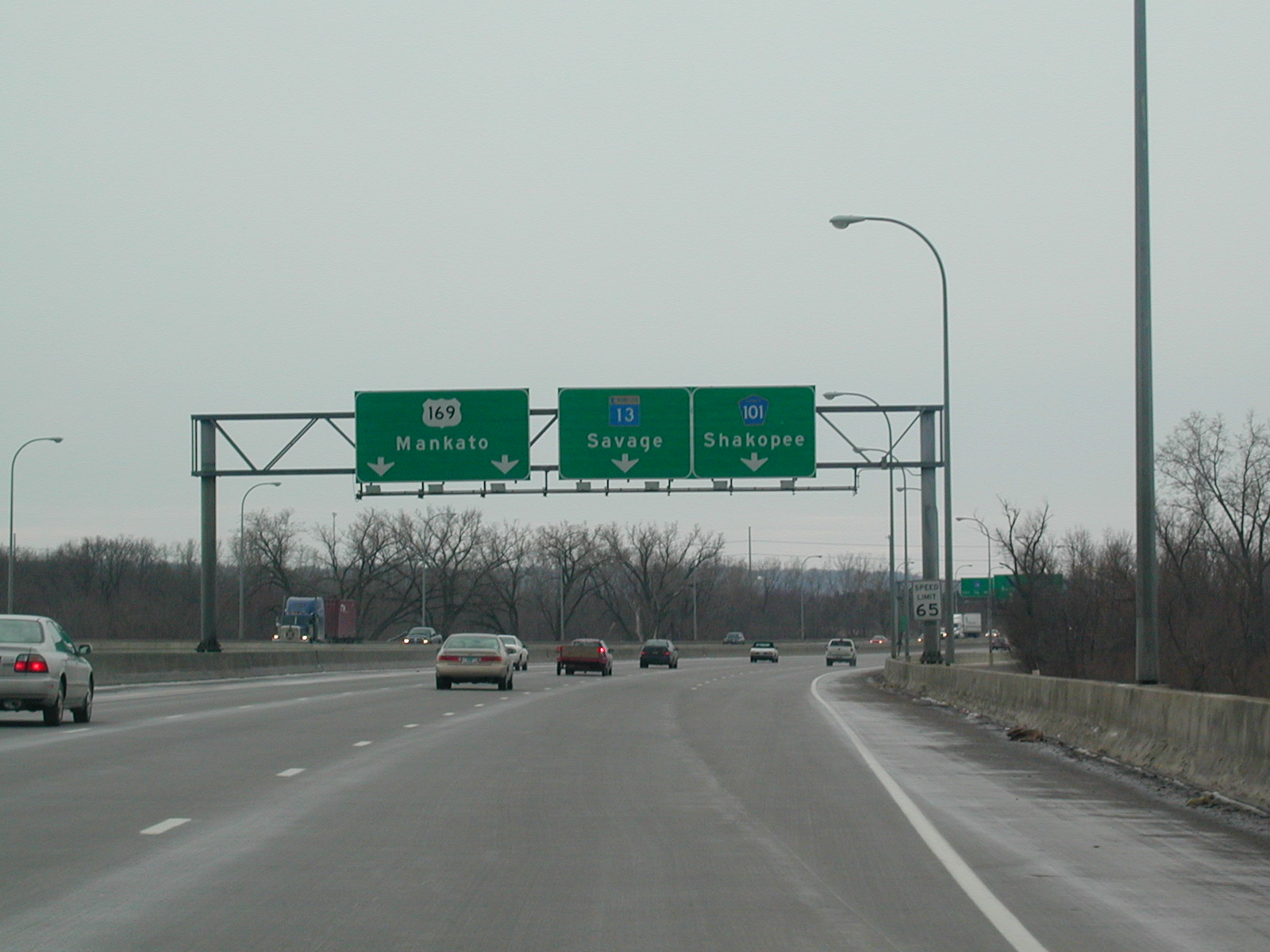 The
MN 13 exit off US 169 SB.
The
MN 13 exit off US 169 SB. 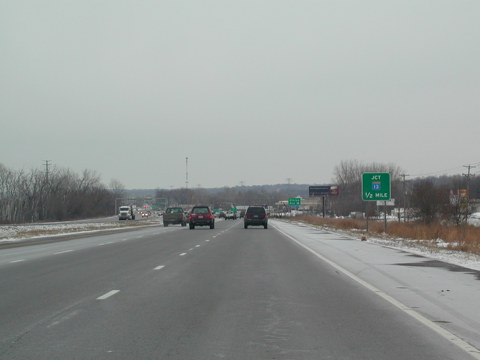 This
is still CR 100 I think, approaching MN 13 looking East.
This
is still CR 100 I think, approaching MN 13 looking East.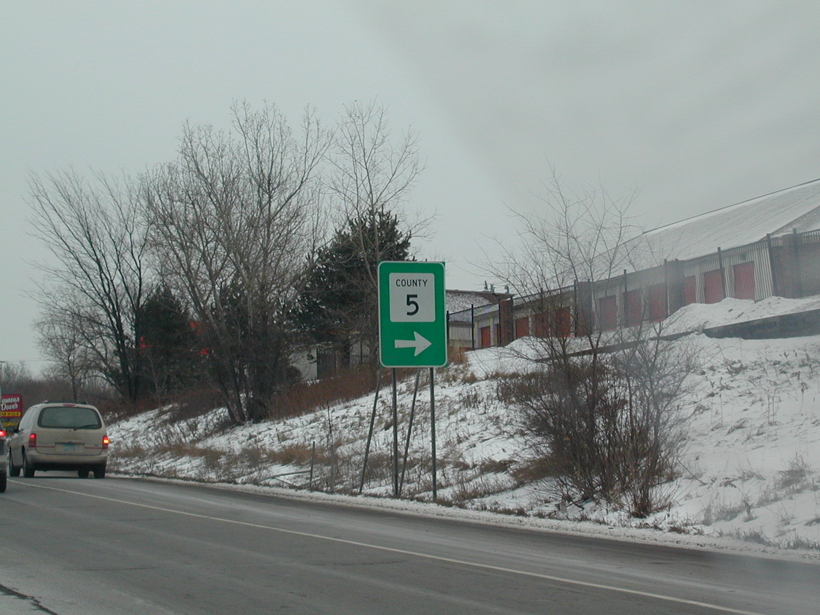 This
must be the old-style county road signage.
This
must be the old-style county road signage.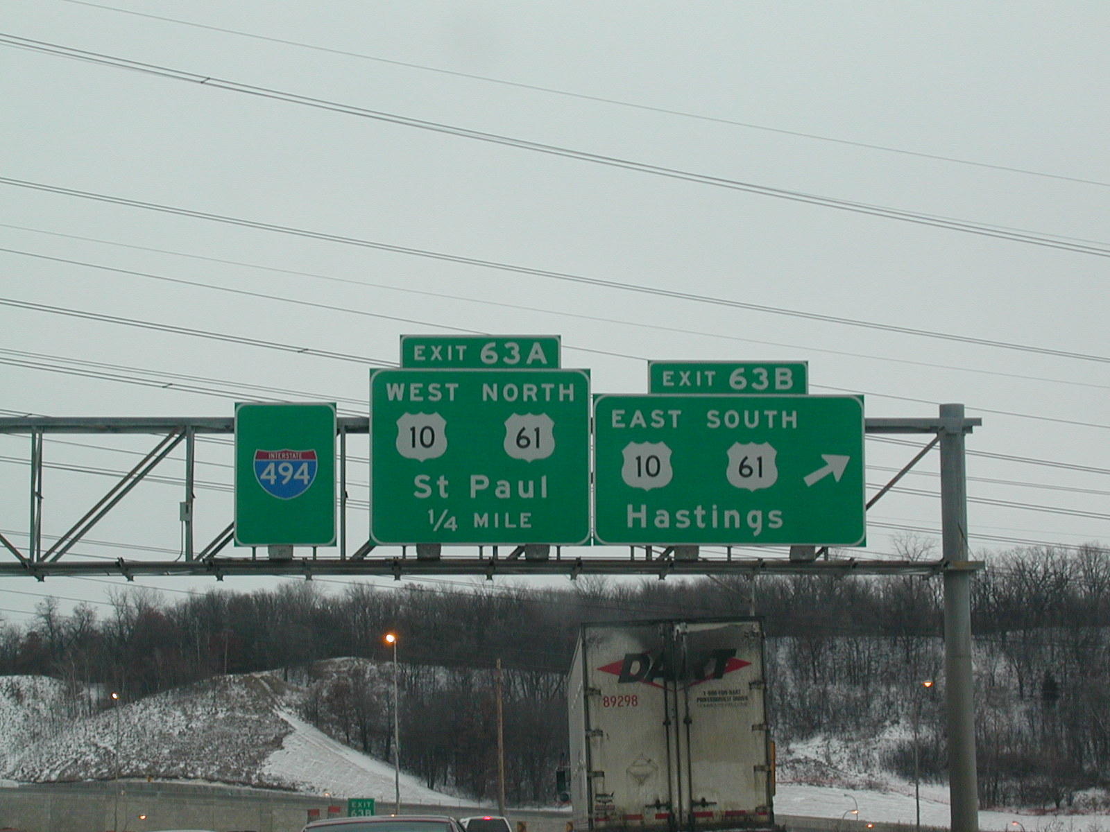 Quickly
we jump on I-494, then south on US 61, which is also US 10 here.
Quickly
we jump on I-494, then south on US 61, which is also US 10 here.