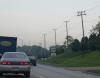
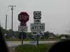
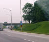
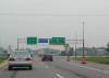
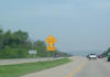
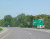
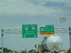
 NB
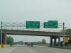
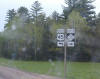
IL 59 at the junction shield for US 20. In the Chicago area, US 20 is
known as Lake Street. NB
IL 59 at the junction shield for US 20. In the Chicago area, US 20 is
known as Lake Street. |
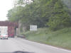
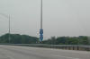
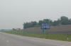
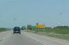
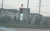 US
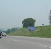
20 is not really a freeway, and neither is Route 59, but there is an
interchange between the two roadways. This is at the ramp to West US
20. US
20 is not really a freeway, and neither is Route 59, but there is an
interchange between the two roadways. This is at the ramp to West US
20. |
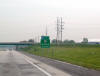
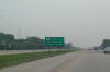
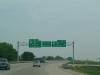
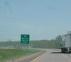
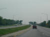 However,
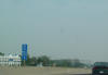
in Elgin, US 20 turns into a freeway that bypasses the main part of the
city. There used to be a Bus. US 20 through Elgin, but that doesn't
exist anymore. However,
in Elgin, US 20 turns into a freeway that bypasses the main part of the
city. There used to be a Bus. US 20 through Elgin, but that doesn't
exist anymore. |
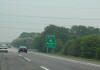
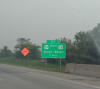
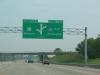
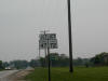 The
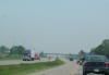
freeway is short-lived, and west of Elgin, US 20 meets IL 47 and IL 72 in
Starks. The
freeway is short-lived, and west of Elgin, US 20 meets IL 47 and IL 72 in
Starks. |
 At
the intersection of the three roads in Starks. At
the intersection of the three roads in Starks. |
 The
three roads share four lanes for about 1/2 mile before splitting up again. The
three roads share four lanes for about 1/2 mile before splitting up again. |
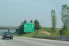
 Notice
how the I-90 shield was just added on to the "Tollway Entrance" green sign. Notice
how the I-90 shield was just added on to the "Tollway Entrance" green sign. |
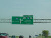
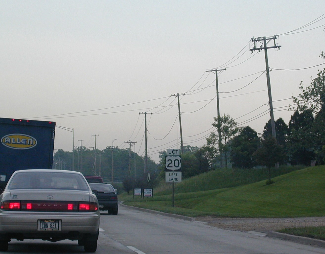
 The
I-39 part of this sign was also added on. I-39 briefly follows US 20
around to I-90 south of Rockford, and the US 20 sign predates the
interstate. So they just tacked on an I-39 little green sign on top. The
I-39 part of this sign was also added on. I-39 briefly follows US 20
around to I-90 south of Rockford, and the US 20 sign predates the
interstate. So they just tacked on an I-39 little green sign on top. |
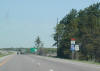
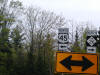
 Getting
closer to I-39. Why no mention of US 51? Getting
closer to I-39. Why no mention of US 51? |
 I-39
officially joins the Northwest Tollway. I-39
officially joins the Northwest Tollway. |
 I-90
is on top, as it is the dominant road. I-90
is on top, as it is the dominant road. |
 The
northern end of the Northwest Tollway. IDOT will take over for a mile
or two before the interstates enter Wisconsin. The
northern end of the Northwest Tollway. IDOT will take over for a mile
or two before the interstates enter Wisconsin. |
 US
51 will leave the roadway in one mile, heading north to parallel I-39/90.
IL 75 heads west and IL 251 meets those two roads and goes south into
Rockford. US
51 will leave the roadway in one mile, heading north to parallel I-39/90.
IL 75 heads west and IL 251 meets those two roads and goes south into
Rockford. |
 Still
in Illinois, but just barely. Wisconsin is in less than a mile. Still
in Illinois, but just barely. Wisconsin is in less than a mile. |
 The
first exit in Wisconsin on I-39/90 NB is for I-43, which sees its southern
terminus here. I-43 goes to Milwaukee before ending in Green Bay. The
first exit in Wisconsin on I-39/90 NB is for I-43, which sees its southern
terminus here. I-43 goes to Milwaukee before ending in Green Bay. |
 Wisconsin
often uses these black backplates on its interstate shields. Wisconsin
often uses these black backplates on its interstate shields. |
 Closing
in on Madison, at US 12 and US 18, which form a belt around Wisonsin's
capitol city. Closing
in on Madison, at US 12 and US 18, which form a belt around Wisonsin's
capitol city. |
 I-94
is about to join I-39/90, forming the longest 3-way multiplex in the nation,
out of 2. I-94
is about to join I-39/90, forming the longest 3-way multiplex in the nation,
out of 2. |
 Begin
the 3-way! Begin
the 3-way! |
 I-39/90/94. I-39/90/94. |
 The
miles are marked for I-90 only. The
miles are marked for I-90 only. |
 The
median is narrow in these parts. The
median is narrow in these parts. |
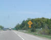
 A
diamond-shaped sign on the interstate advising motorists of gusty winds on
the upcoming bridge. A
diamond-shaped sign on the interstate advising motorists of gusty winds on
the upcoming bridge. |
 I-39
prepares to leave the roadway up to Wausau, where it will end. I-39
prepares to leave the roadway up to Wausau, where it will end. |
 The
I-90 shield must have fallen off because there is only I-94 left. The
I-90 shield must have fallen off because there is only I-94 left.
|
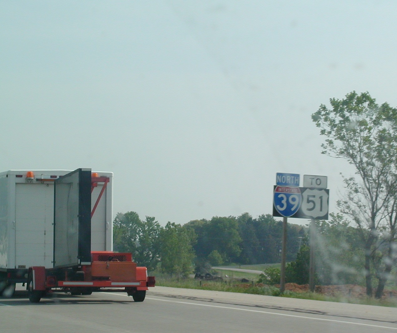
 I-39,
"To" US 51. I-39,
"To" US 51. |
 I-39
had a detour for CR J at the time. I-39
had a detour for CR J at the time. |
 I-39
NB near Stevens Point. I-39
NB near Stevens Point. |
 Wisconsin
has weird-looking speed limit signs on some of its interstates. Wisconsin
has weird-looking speed limit signs on some of its interstates. |
 Rough
road on the interstates. Rough
road on the interstates. |
 Low
bridges ahead on I-39 US 51. Low
bridges ahead on I-39 US 51. |
 US
51 is about to take over the roadway as I-39 ends soon. US
51 is about to take over the roadway as I-39 ends soon. |
 US
51 and WI 29 continue, I-39 is dead in Wausau. US
51 and WI 29 continue, I-39 is dead in Wausau. |
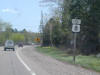 East
US 8 west of Rhinelander. East
US 8 west of Rhinelander. |
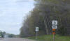 WI
17 NB north of Rhinelander. WI
17 NB north of Rhinelander. |
 This
sign must want to pick a fight. This
sign must want to pick a fight. |
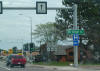 In
Eagle River, we pick up US 45. In
Eagle River, we pick up US 45. |
 US
45 and WI 32, which I think is called the Red Arrow Highway, and explains
the red arrows inside the shield. US
45 and WI 32, which I think is called the Red Arrow Highway, and explains
the red arrows inside the shield. |
 Ottawa
National Forest. Ottawa
National Forest. |
 US
45 North in Michigan now. US
45 North in Michigan now. |
 US
45 crosses US 2 in Watersmeet. US
45 crosses US 2 in Watersmeet. |
 M
28 Bruce Crossing. M
28 Bruce Crossing. |
 M
26 south of Rockland. M
26 south of Rockland. |
 North
US 45 turns left to Ontonogan. North
US 45 turns left to Ontonogan. |
 NB
IL 59 at the junction shield for US 20. In the Chicago area, US 20 is
known as Lake Street.
NB
IL 59 at the junction shield for US 20. In the Chicago area, US 20 is
known as Lake Street. US
20 is not really a freeway, and neither is Route 59, but there is an
interchange between the two roadways. This is at the ramp to West US
20.
US
20 is not really a freeway, and neither is Route 59, but there is an
interchange between the two roadways. This is at the ramp to West US
20. However,
in Elgin, US 20 turns into a freeway that bypasses the main part of the
city. There used to be a Bus. US 20 through Elgin, but that doesn't
exist anymore.
However,
in Elgin, US 20 turns into a freeway that bypasses the main part of the
city. There used to be a Bus. US 20 through Elgin, but that doesn't
exist anymore.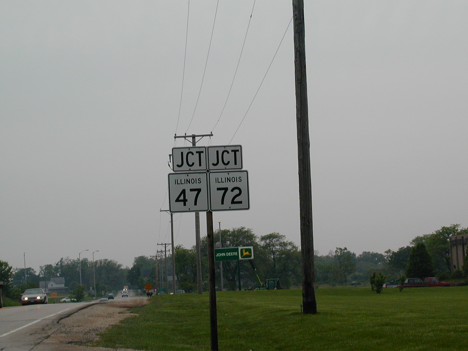 The
freeway is short-lived, and west of Elgin, US 20 meets IL 47 and IL 72 in
Starks.
The
freeway is short-lived, and west of Elgin, US 20 meets IL 47 and IL 72 in
Starks. At
the intersection of the three roads in Starks.
At
the intersection of the three roads in Starks. The
three roads share four lanes for about 1/2 mile before splitting up again.
The
three roads share four lanes for about 1/2 mile before splitting up again.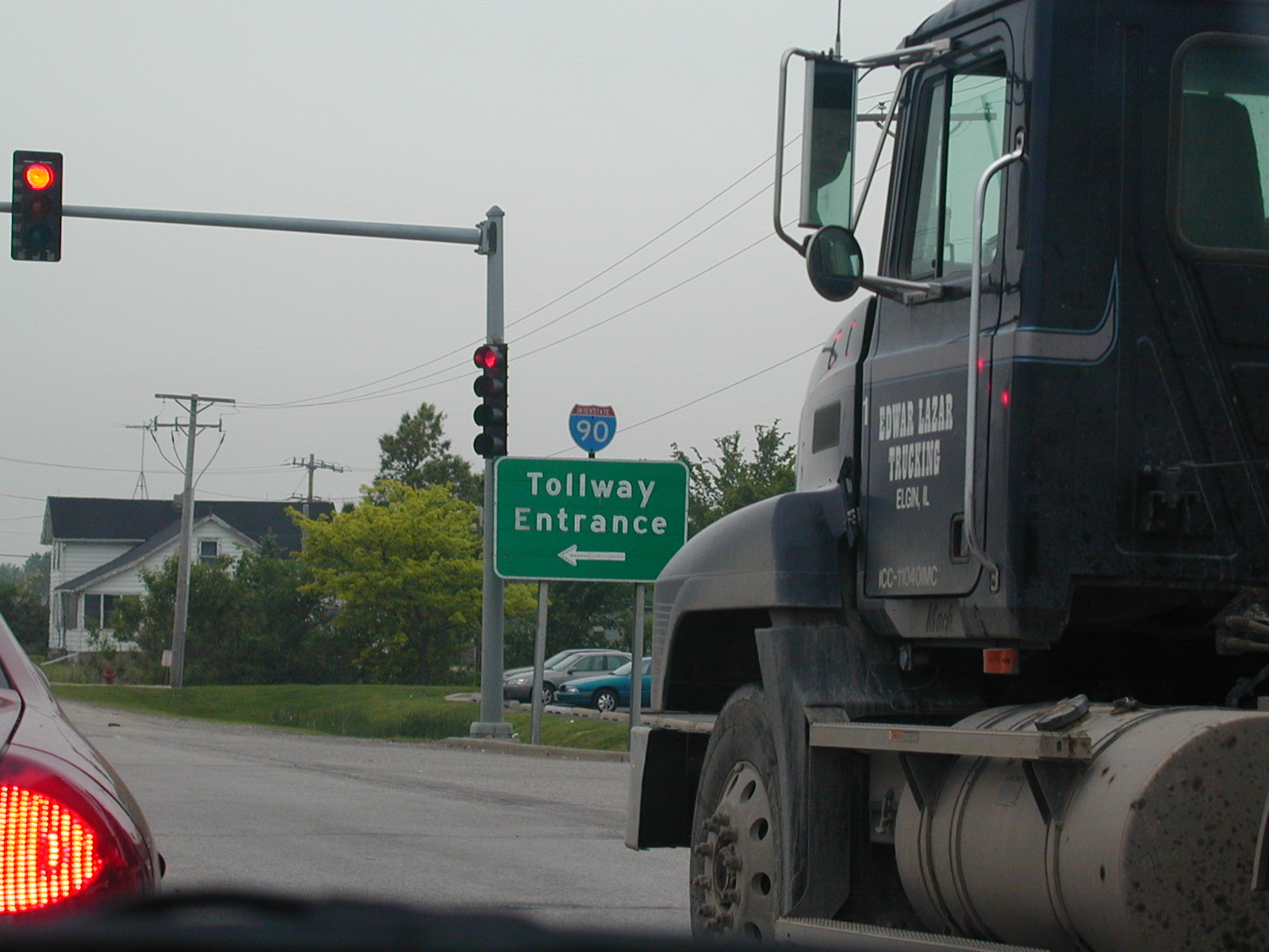 Notice
how the I-90 shield was just added on to the "Tollway Entrance" green sign.
Notice
how the I-90 shield was just added on to the "Tollway Entrance" green sign.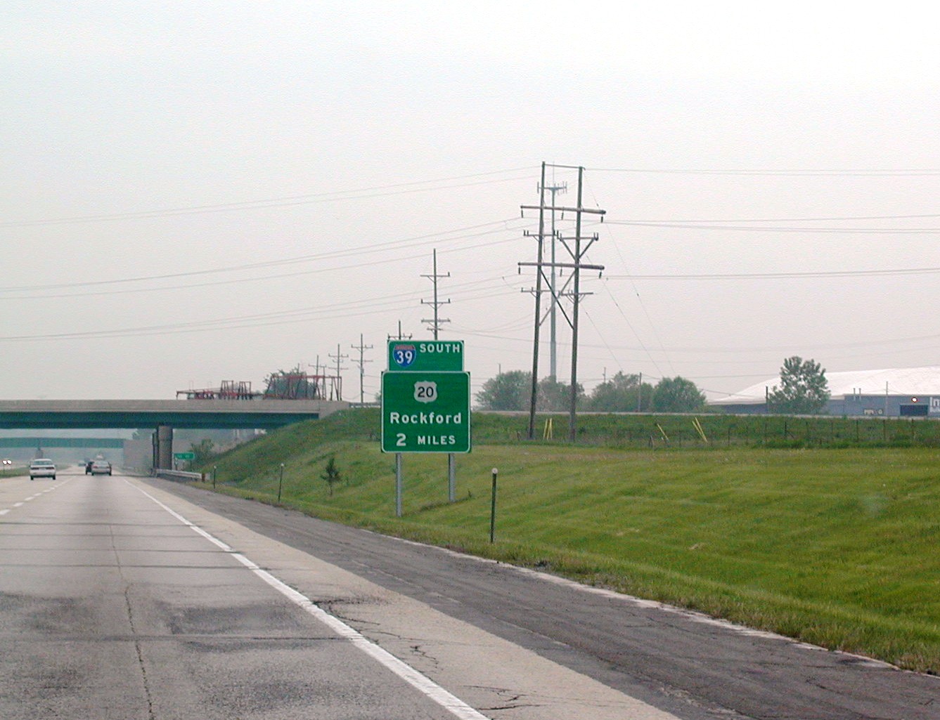 The
I-39 part of this sign was also added on. I-39 briefly follows US 20
around to I-90 south of Rockford, and the US 20 sign predates the
interstate. So they just tacked on an I-39 little green sign on top.
The
I-39 part of this sign was also added on. I-39 briefly follows US 20
around to I-90 south of Rockford, and the US 20 sign predates the
interstate. So they just tacked on an I-39 little green sign on top. Getting
closer to I-39. Why no mention of US 51?
Getting
closer to I-39. Why no mention of US 51?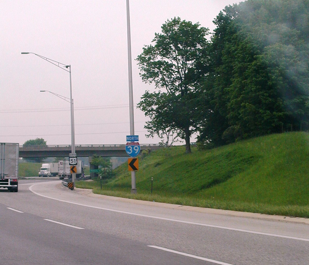 I-39
officially joins the Northwest Tollway.
I-39
officially joins the Northwest Tollway.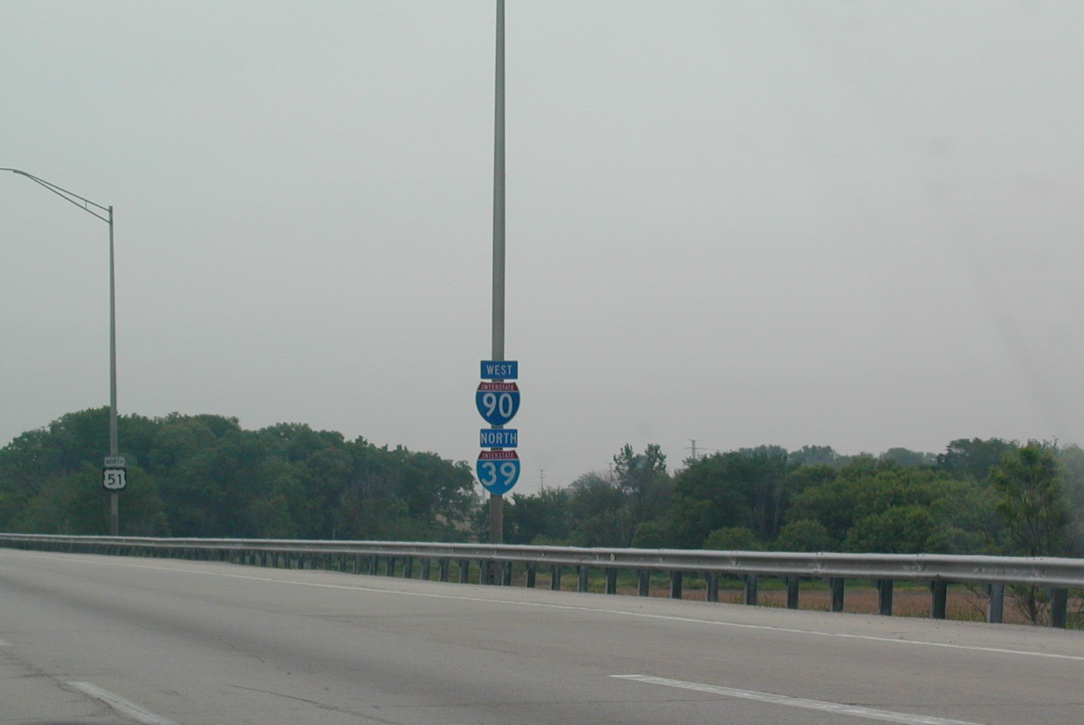 I-90
is on top, as it is the dominant road.
I-90
is on top, as it is the dominant road. The
northern end of the Northwest Tollway. IDOT will take over for a mile
or two before the interstates enter Wisconsin.
The
northern end of the Northwest Tollway. IDOT will take over for a mile
or two before the interstates enter Wisconsin.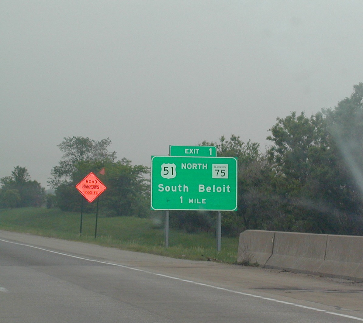 US
51 will leave the roadway in one mile, heading north to parallel I-39/90.
IL 75 heads west and IL 251 meets those two roads and goes south into
Rockford.
US
51 will leave the roadway in one mile, heading north to parallel I-39/90.
IL 75 heads west and IL 251 meets those two roads and goes south into
Rockford. Still
in Illinois, but just barely. Wisconsin is in less than a mile.
Still
in Illinois, but just barely. Wisconsin is in less than a mile.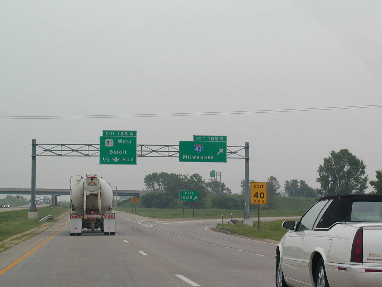 The
first exit in Wisconsin on I-39/90 NB is for I-43, which sees its southern
terminus here. I-43 goes to Milwaukee before ending in Green Bay.
The
first exit in Wisconsin on I-39/90 NB is for I-43, which sees its southern
terminus here. I-43 goes to Milwaukee before ending in Green Bay.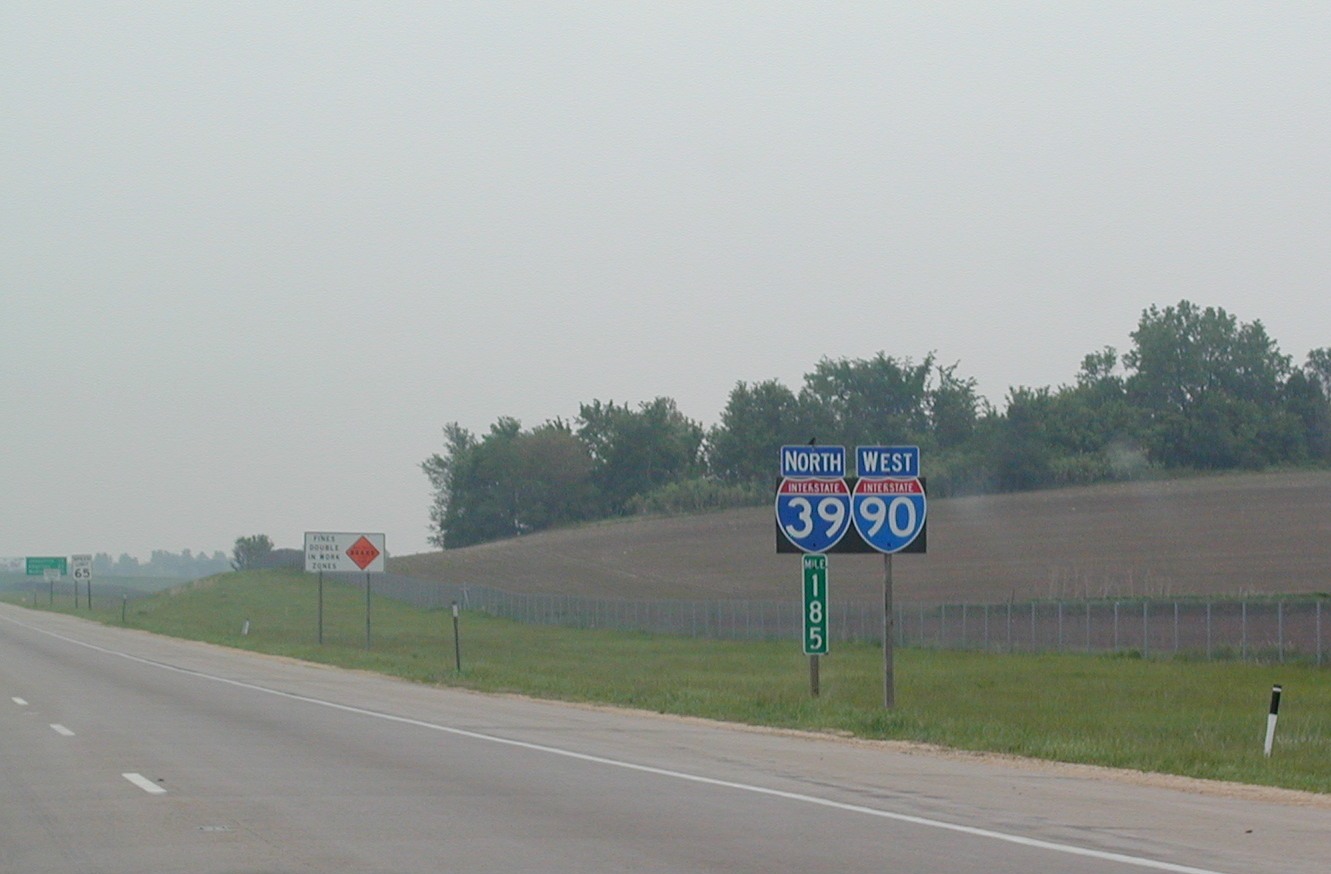 Wisconsin
often uses these black backplates on its interstate shields.
Wisconsin
often uses these black backplates on its interstate shields.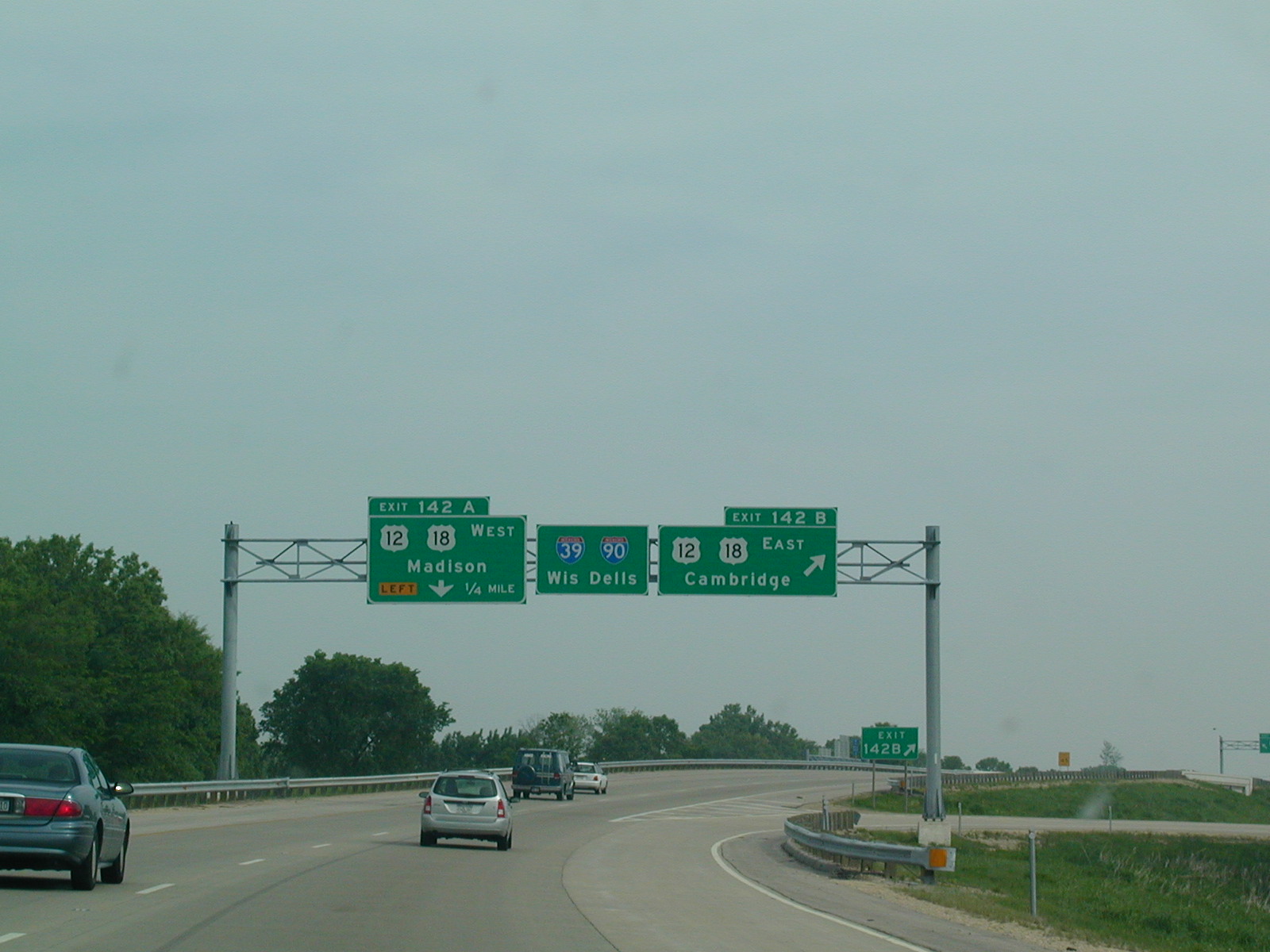 Closing
in on Madison, at US 12 and US 18, which form a belt around Wisonsin's
capitol city.
Closing
in on Madison, at US 12 and US 18, which form a belt around Wisonsin's
capitol city. I-94
is about to join I-39/90, forming the longest 3-way multiplex in the nation,
out of 2.
I-94
is about to join I-39/90, forming the longest 3-way multiplex in the nation,
out of 2.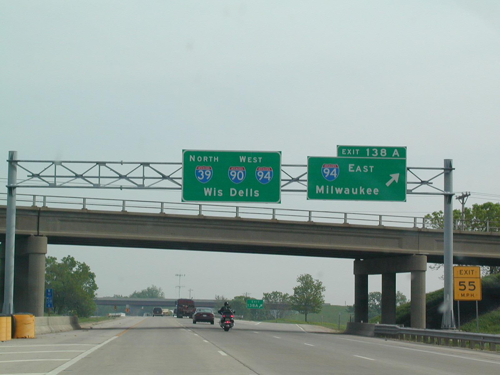 Begin
the 3-way!
Begin
the 3-way!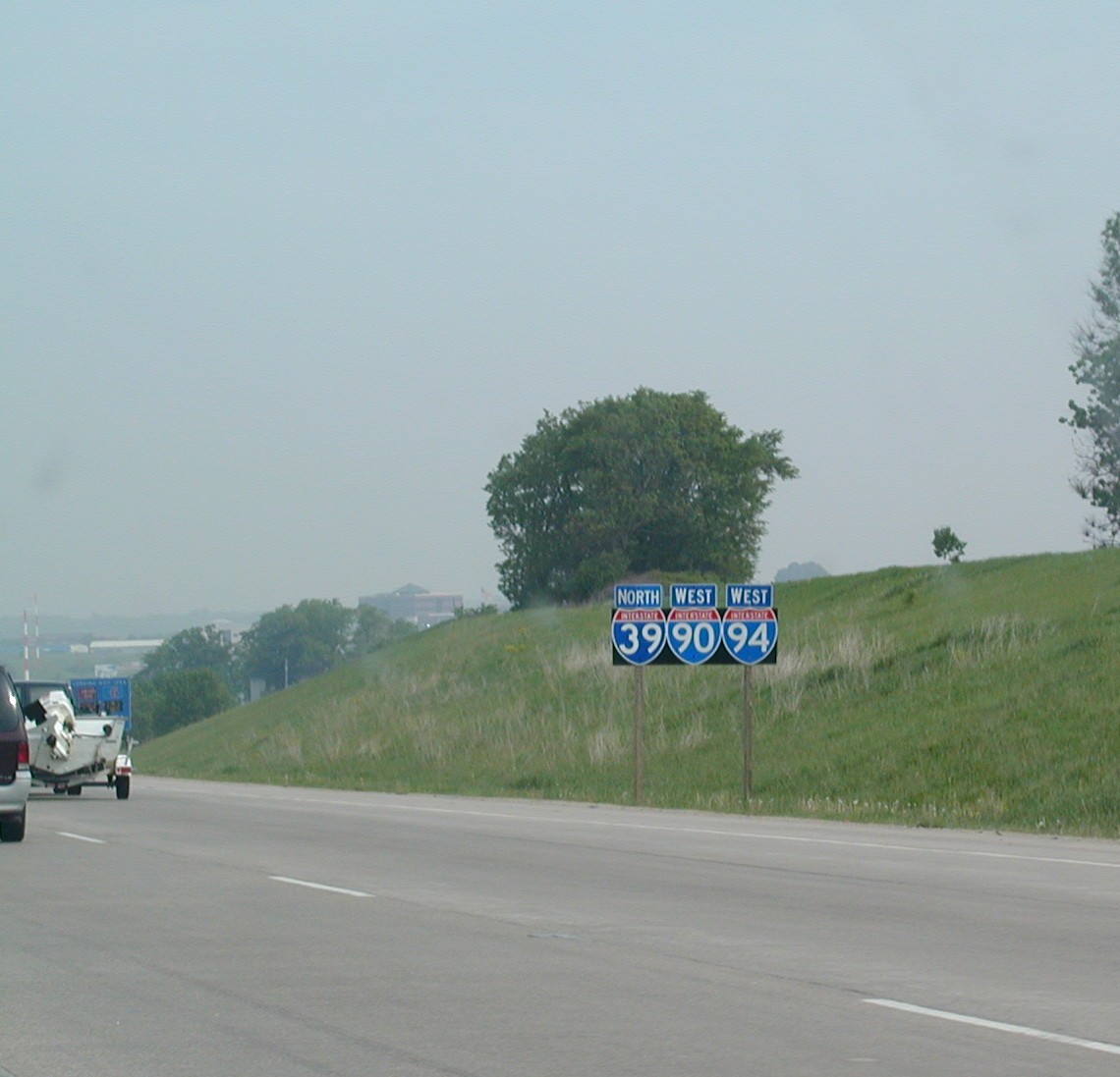 I-39/90/94.
 The
miles are marked for I-90 only.
The
miles are marked for I-90 only. The
median is narrow in these parts.
The
median is narrow in these parts. A
diamond-shaped sign on the interstate advising motorists of gusty winds on
the upcoming bridge.
A
diamond-shaped sign on the interstate advising motorists of gusty winds on
the upcoming bridge.  I-39
prepares to leave the roadway up to Wausau, where it will end.
I-39
prepares to leave the roadway up to Wausau, where it will end.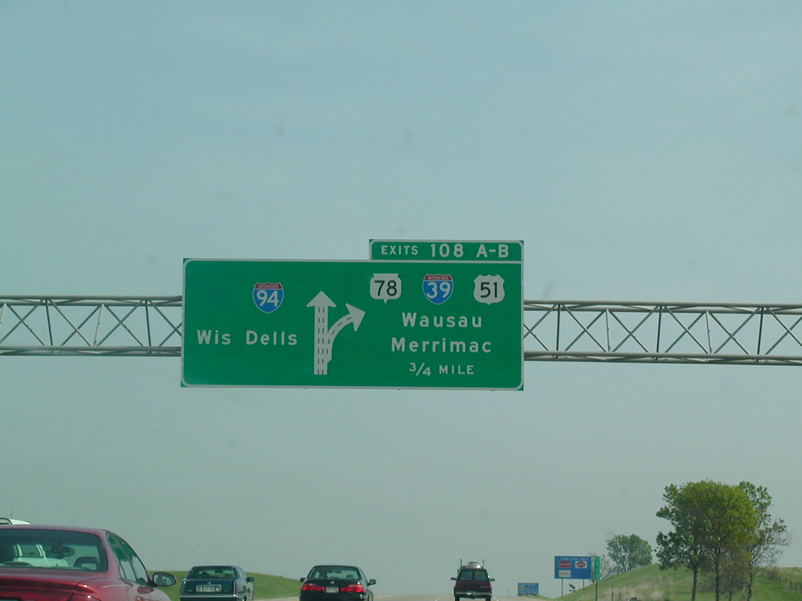 The
I-90 shield must have fallen off because there is only I-94 left.
The
I-90 shield must have fallen off because there is only I-94 left.
 I-39,
"To" US 51.
I-39,
"To" US 51. I-39
had a detour for CR J at the time.
I-39
had a detour for CR J at the time.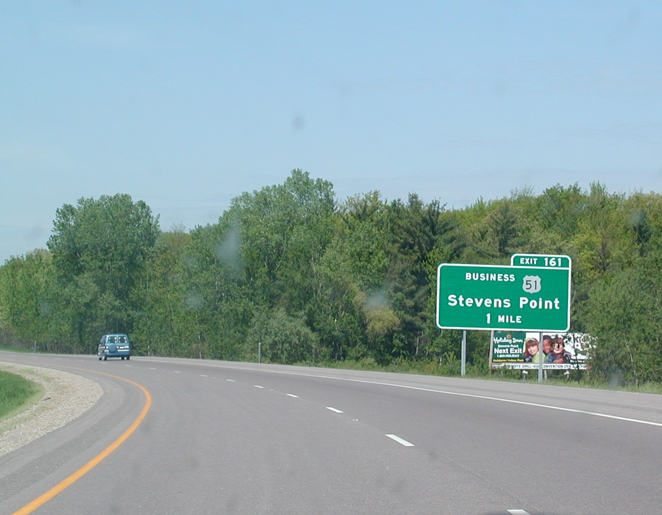 I-39
NB near Stevens Point.
I-39
NB near Stevens Point.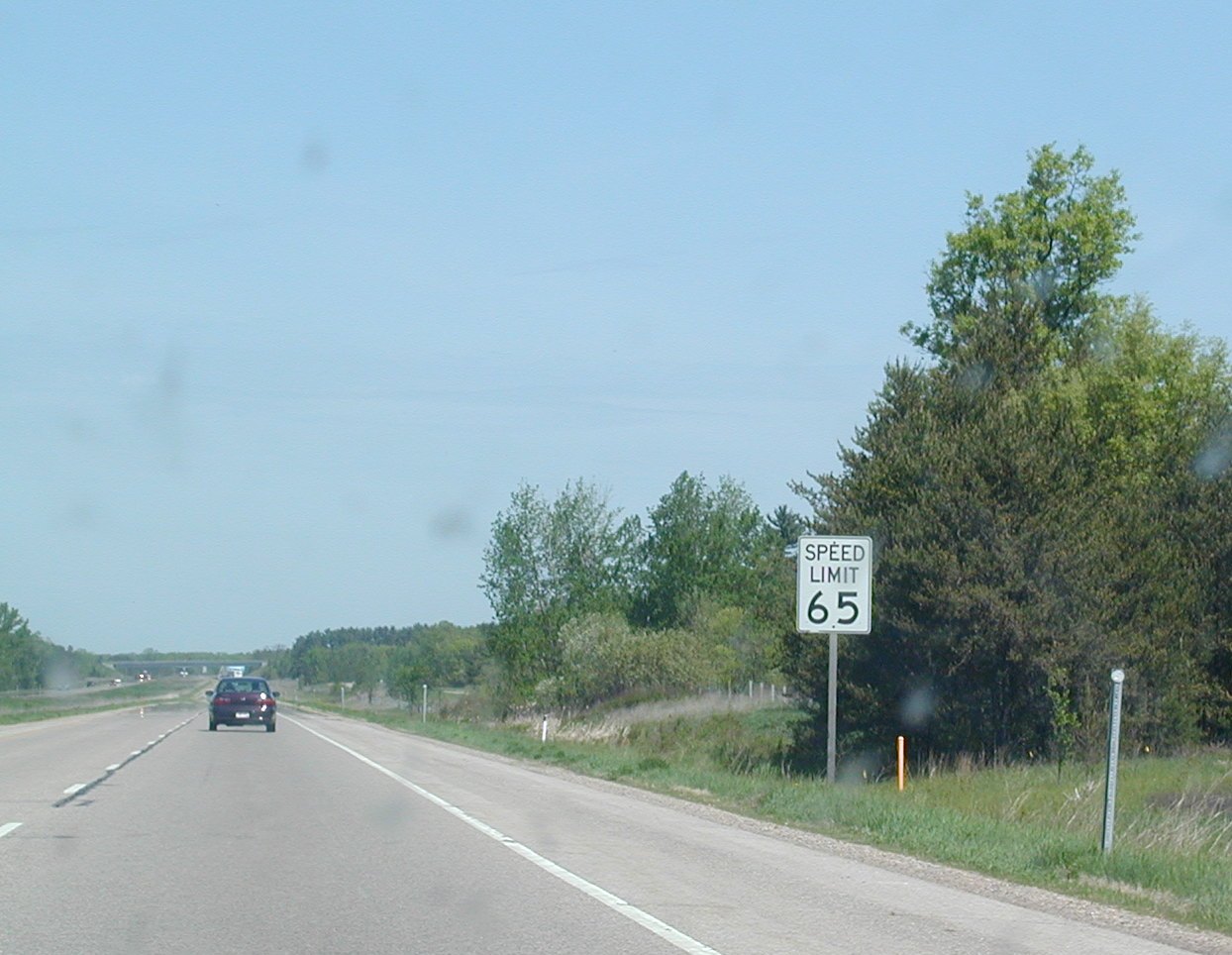 Wisconsin
has weird-looking speed limit signs on some of its interstates.
Wisconsin
has weird-looking speed limit signs on some of its interstates. Rough
road on the interstates.
Rough
road on the interstates. Low
bridges ahead on I-39 US 51.
Low
bridges ahead on I-39 US 51.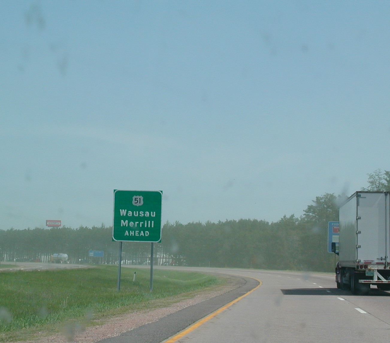 US
51 is about to take over the roadway as I-39 ends soon.
US
51 is about to take over the roadway as I-39 ends soon.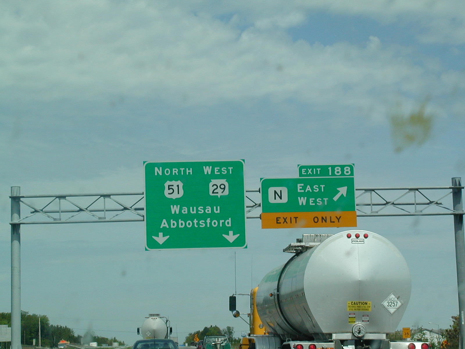 US
51 and WI 29 continue, I-39 is dead in Wausau.
US
51 and WI 29 continue, I-39 is dead in Wausau.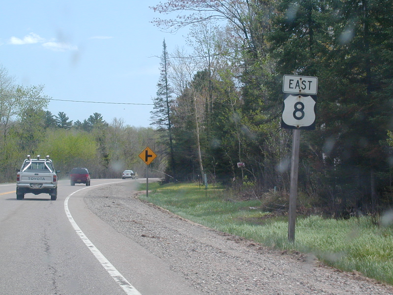 East
US 8 west of Rhinelander.
East
US 8 west of Rhinelander.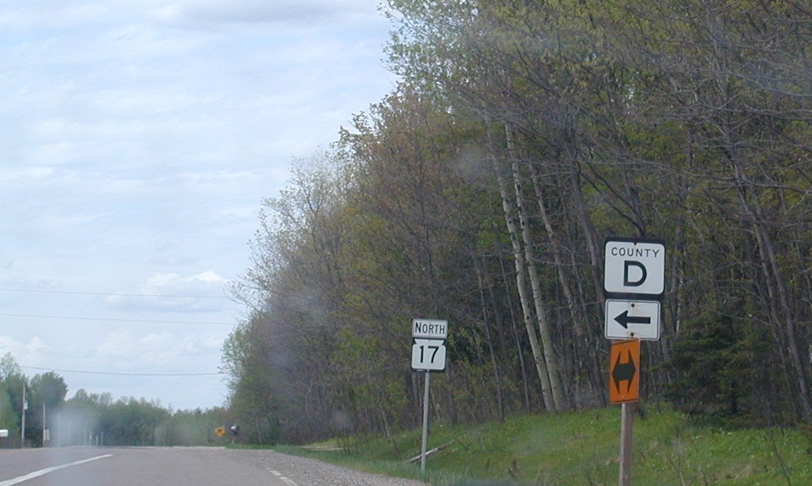 WI
17 NB north of Rhinelander.
WI
17 NB north of Rhinelander. This
sign must want to pick a fight.
This
sign must want to pick a fight. In
Eagle River, we pick up US 45.
In
Eagle River, we pick up US 45.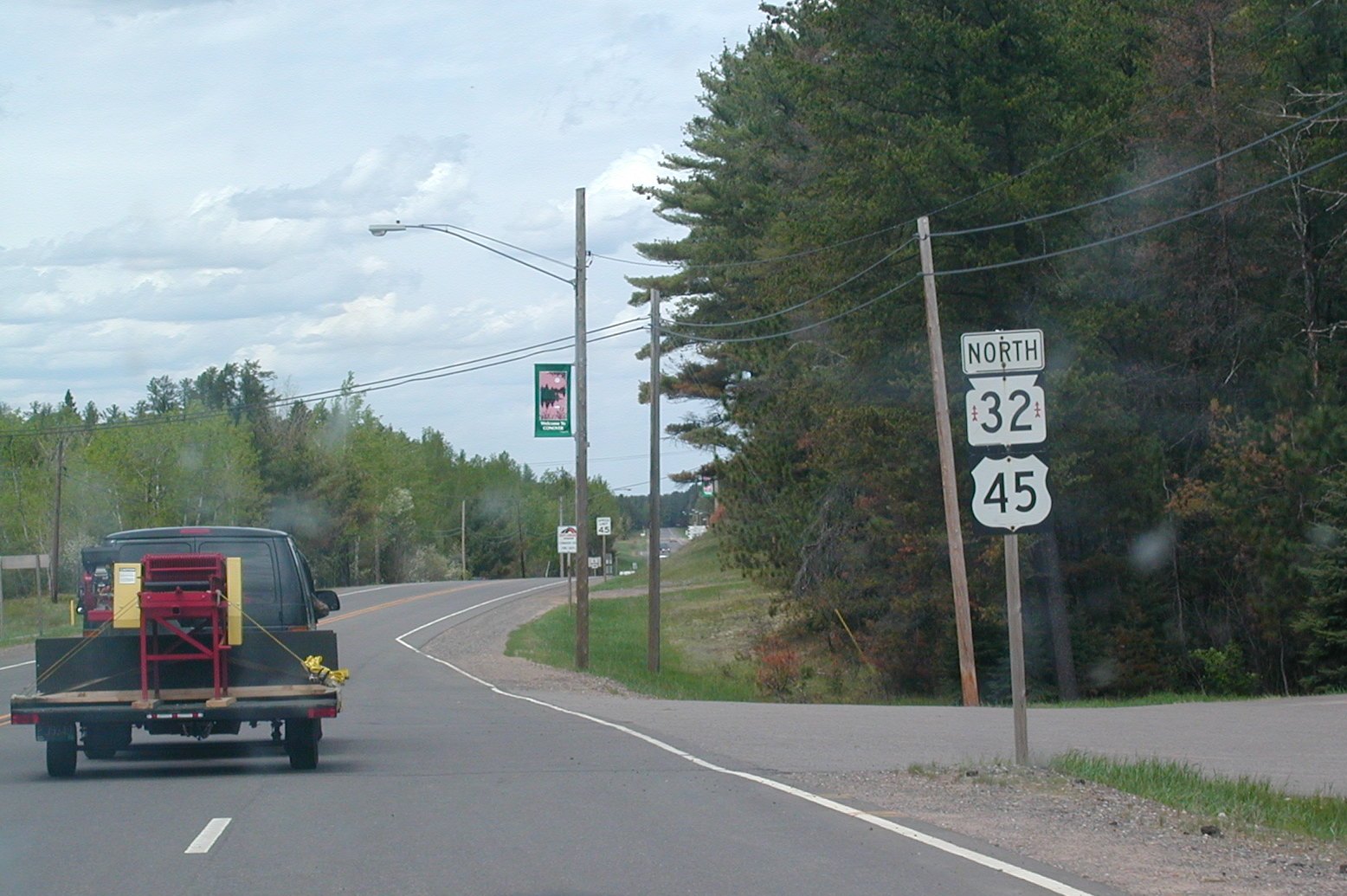 US
45 and WI 32, which I think is called the Red Arrow Highway, and explains
the red arrows inside the shield.
US
45 and WI 32, which I think is called the Red Arrow Highway, and explains
the red arrows inside the shield.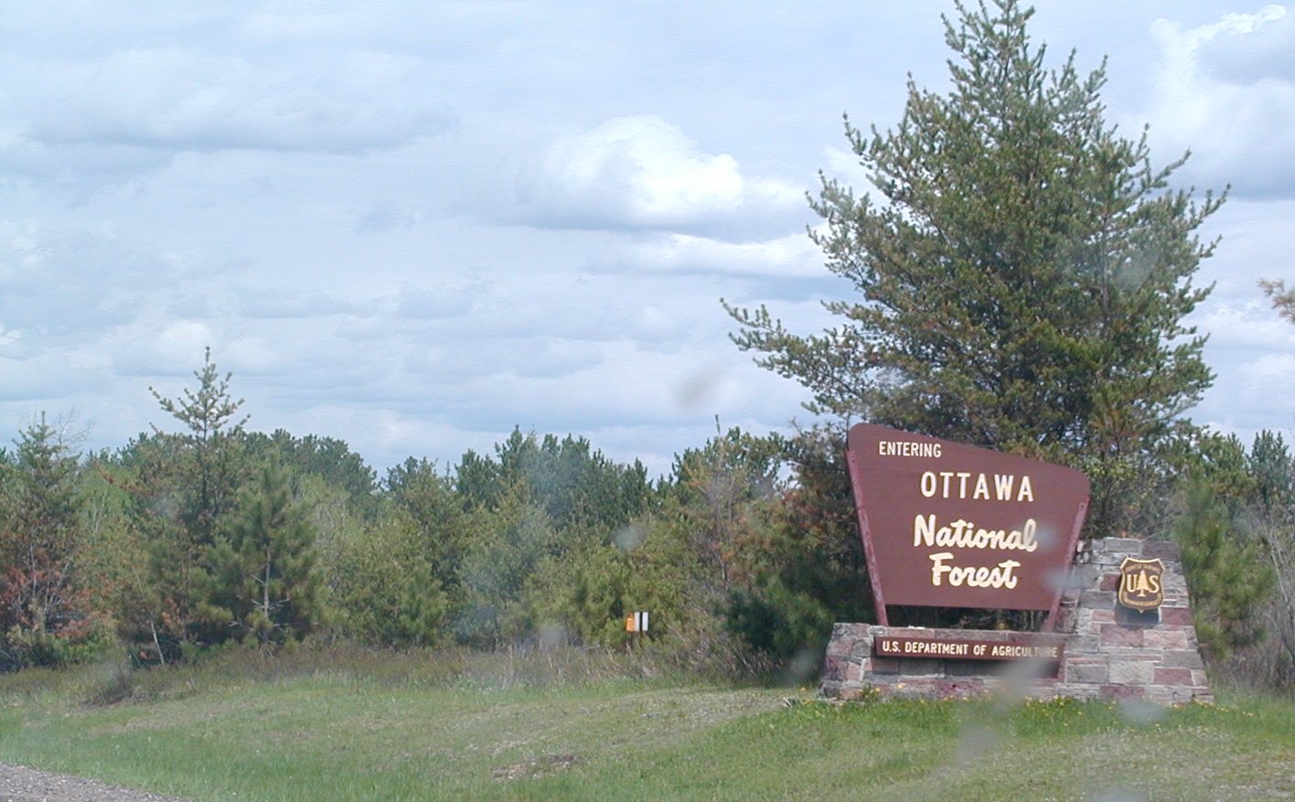 Ottawa
National Forest.
Ottawa
National Forest. US
45 North in Michigan now.
US
45 North in Michigan now.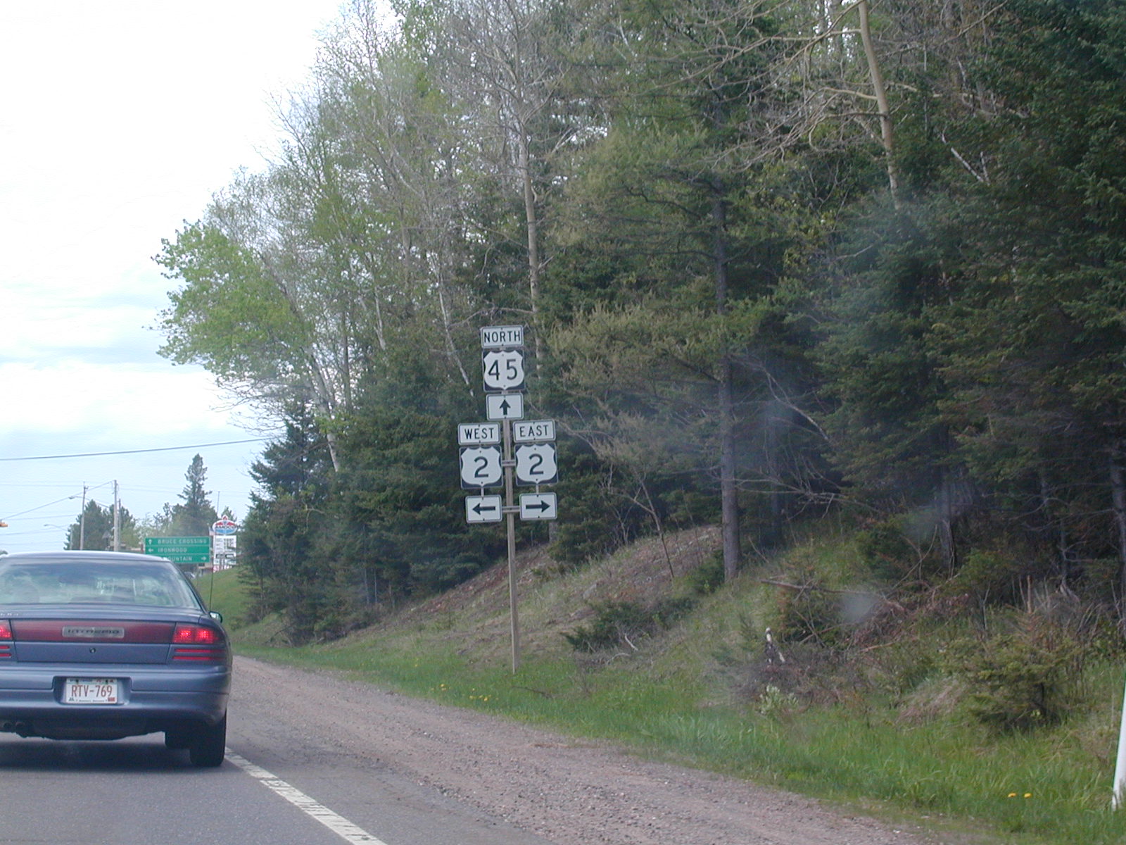 US
45 crosses US 2 in Watersmeet.
US
45 crosses US 2 in Watersmeet.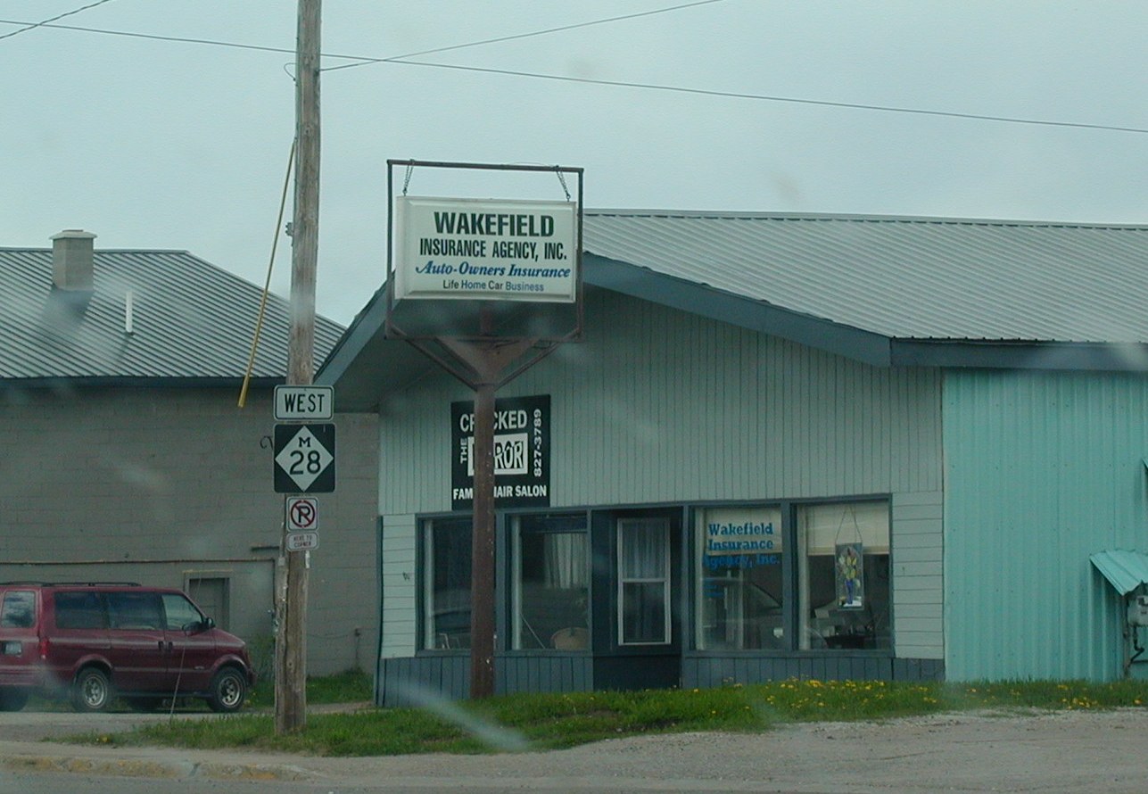 M
28 Bruce Crossing.
M
28 Bruce Crossing. M
26 south of Rockland.
M
26 south of Rockland.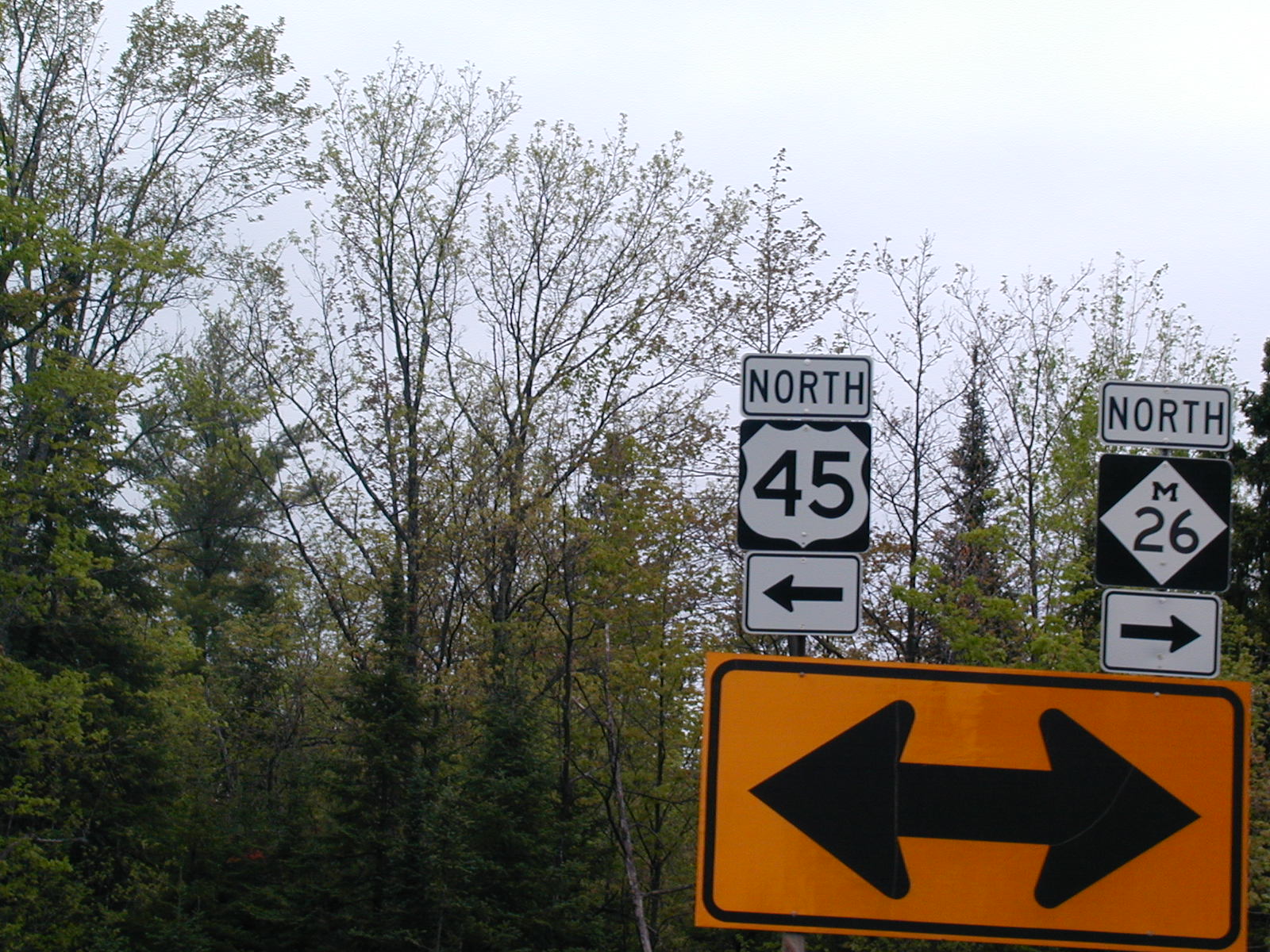 North
US 45 turns left to Ontonogan.
North
US 45 turns left to Ontonogan.