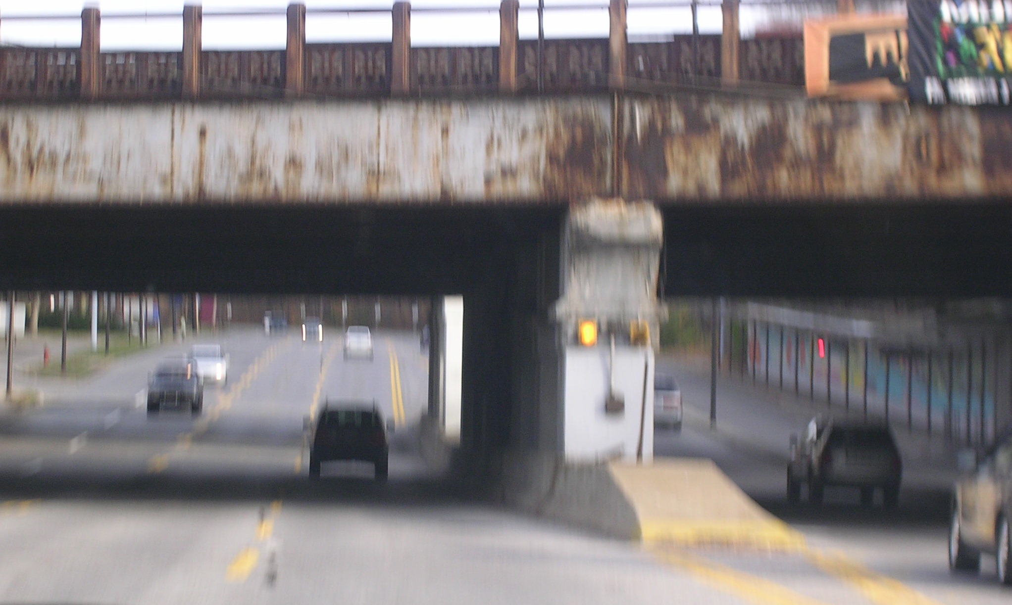
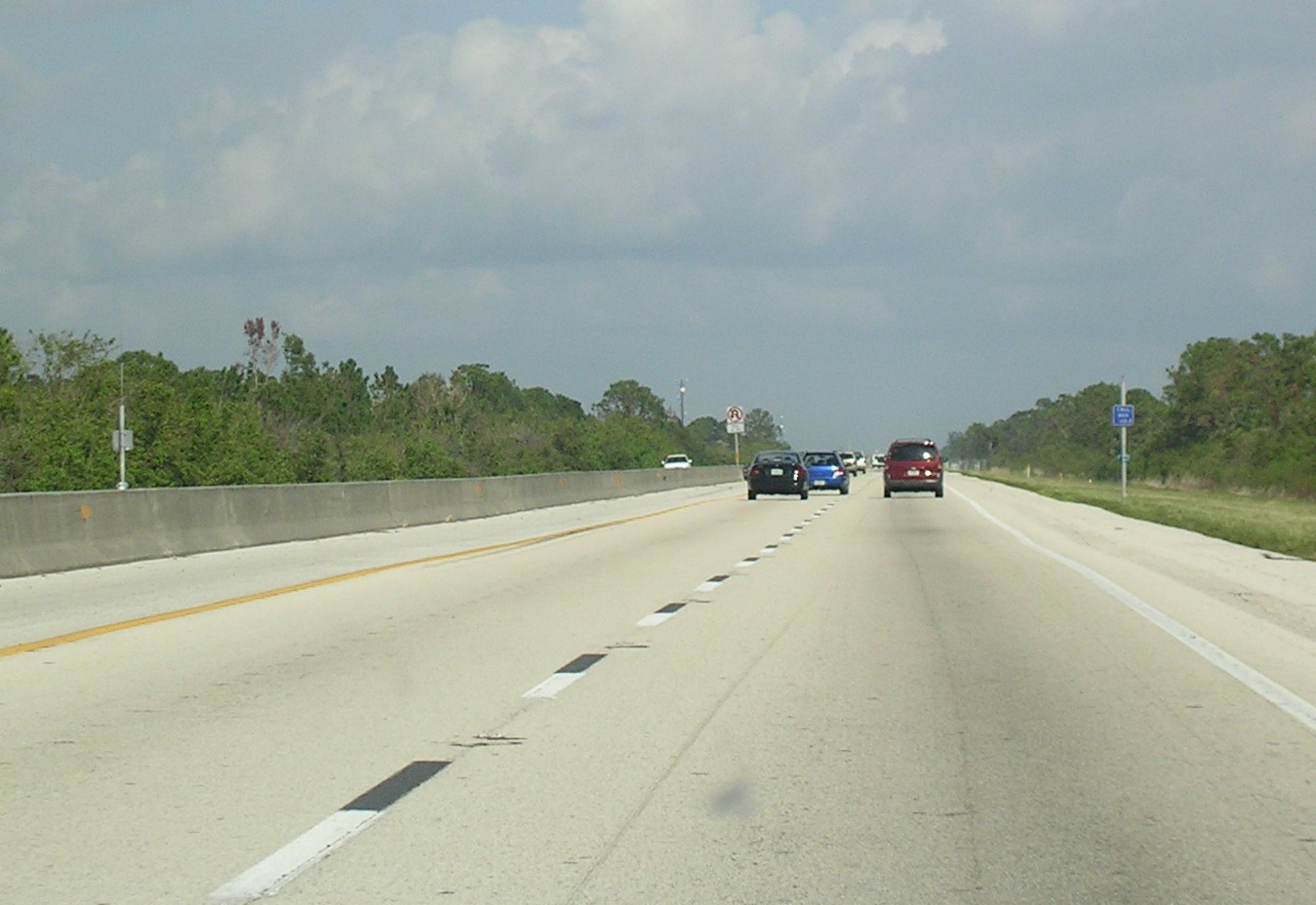
 This
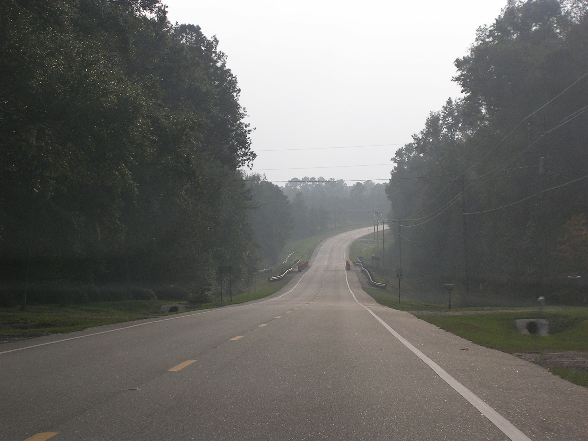
is the NB Florida's Turnpike in Palm Beach County. In addition, this
road is named the Ronald Reagan Turnpike.
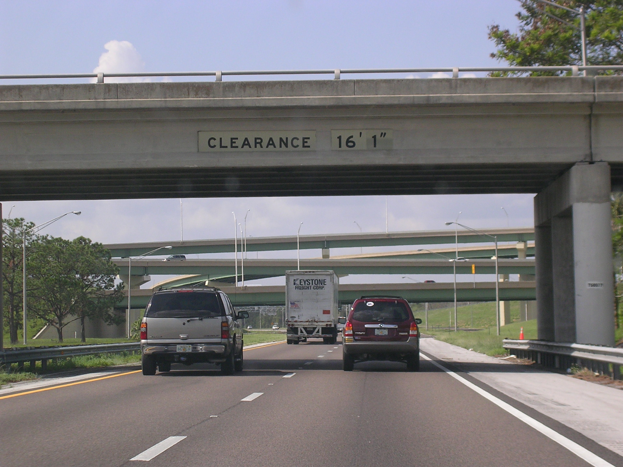
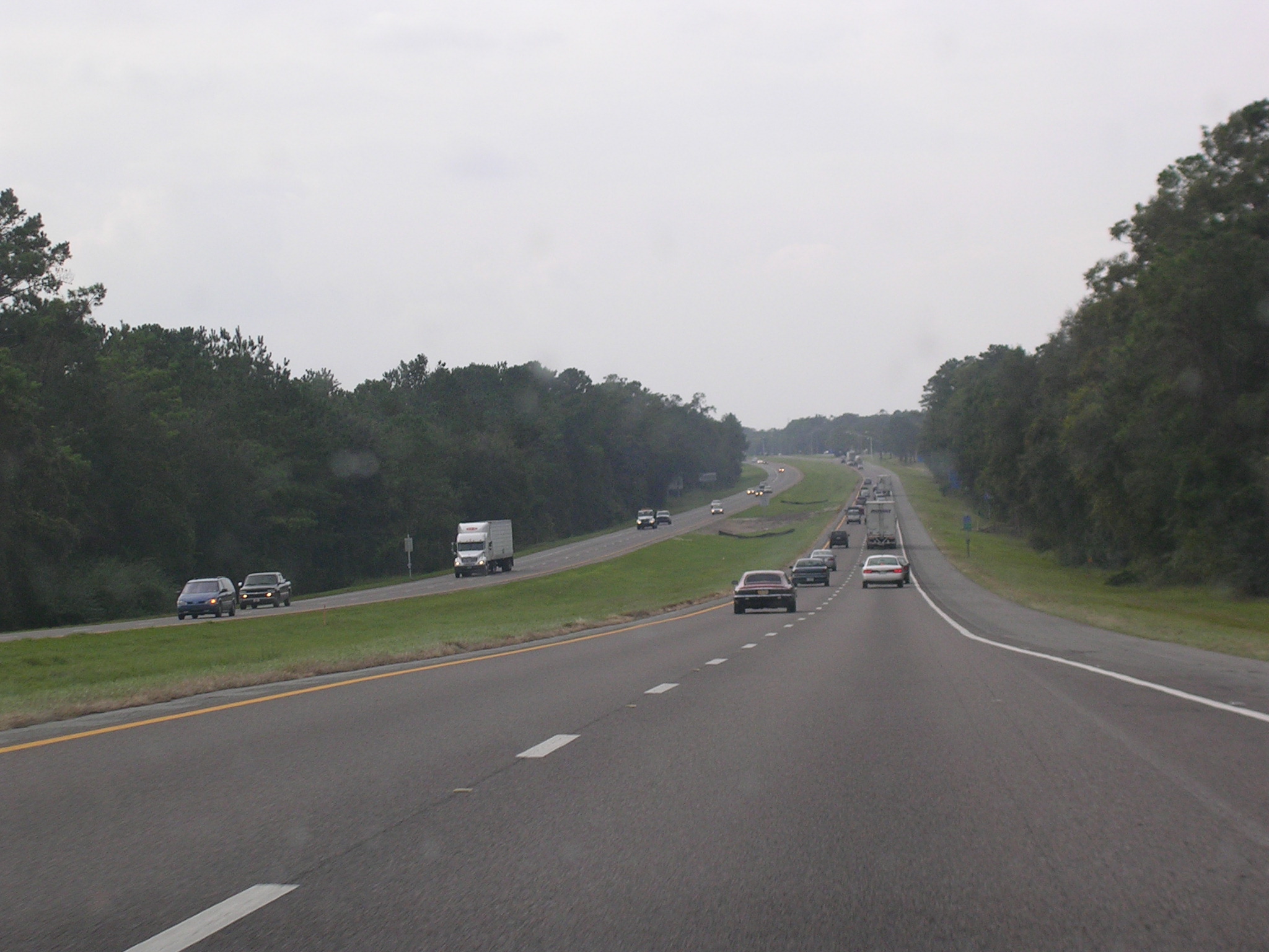
This
is the NB Florida's Turnpike in Palm Beach County. In addition, this
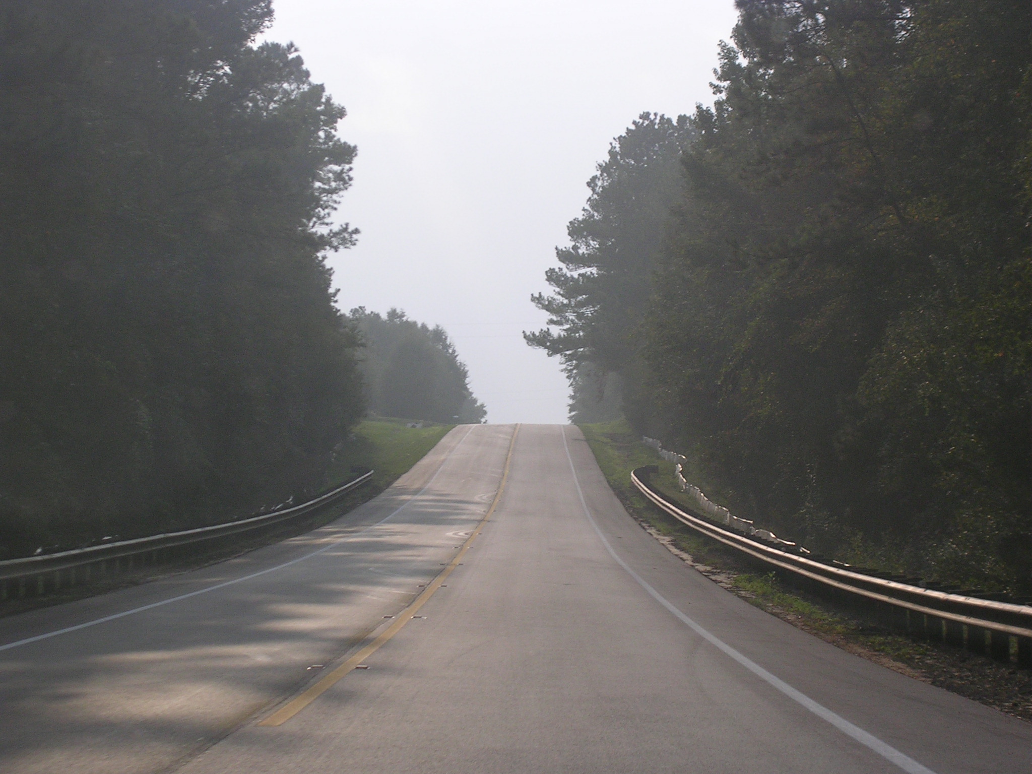
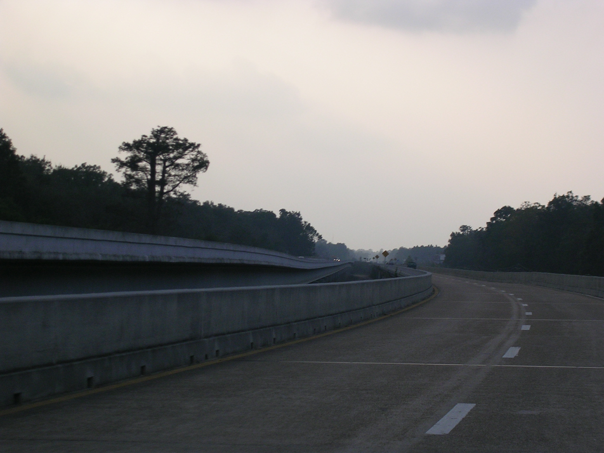
road is named the Ronald Reagan Turnpike.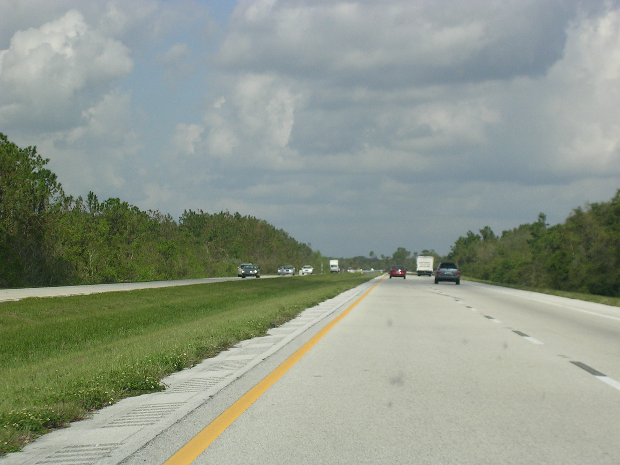 And
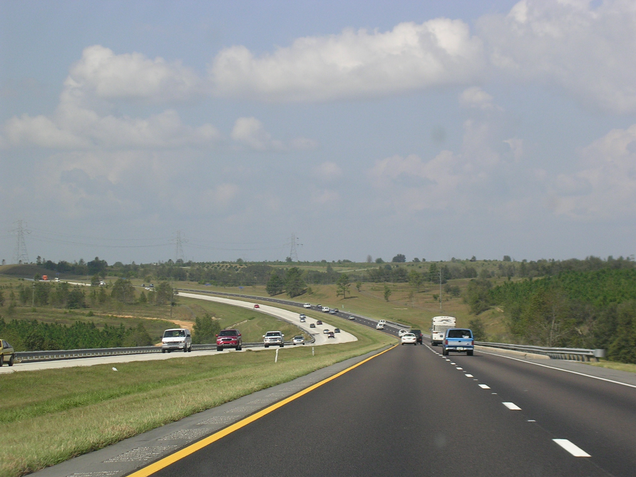
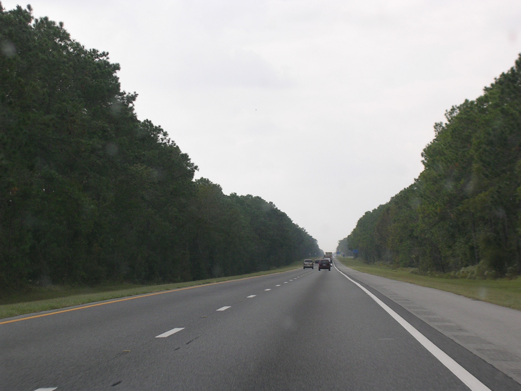
this is the turnpike further north, without a jersey barrier.
And
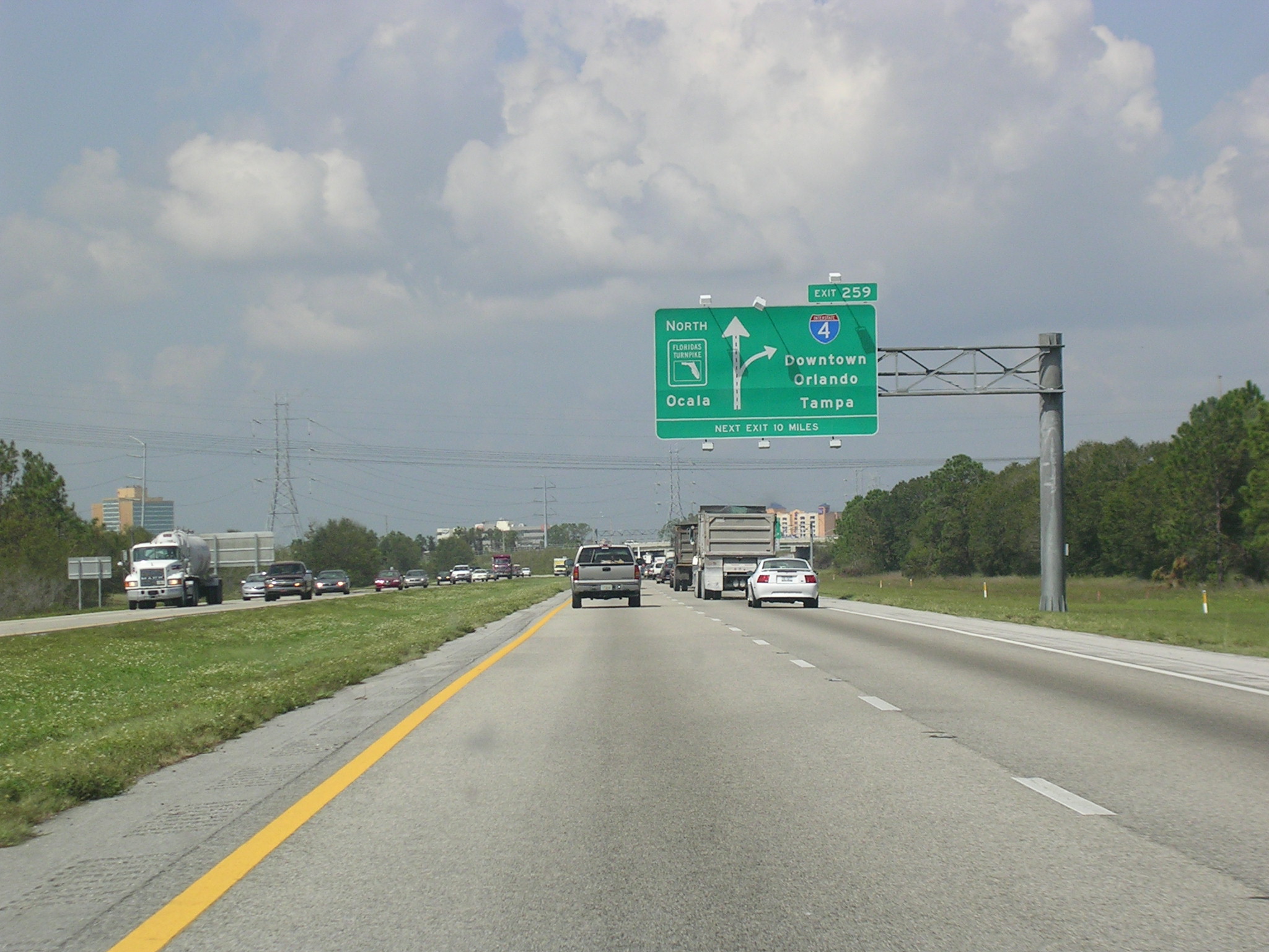
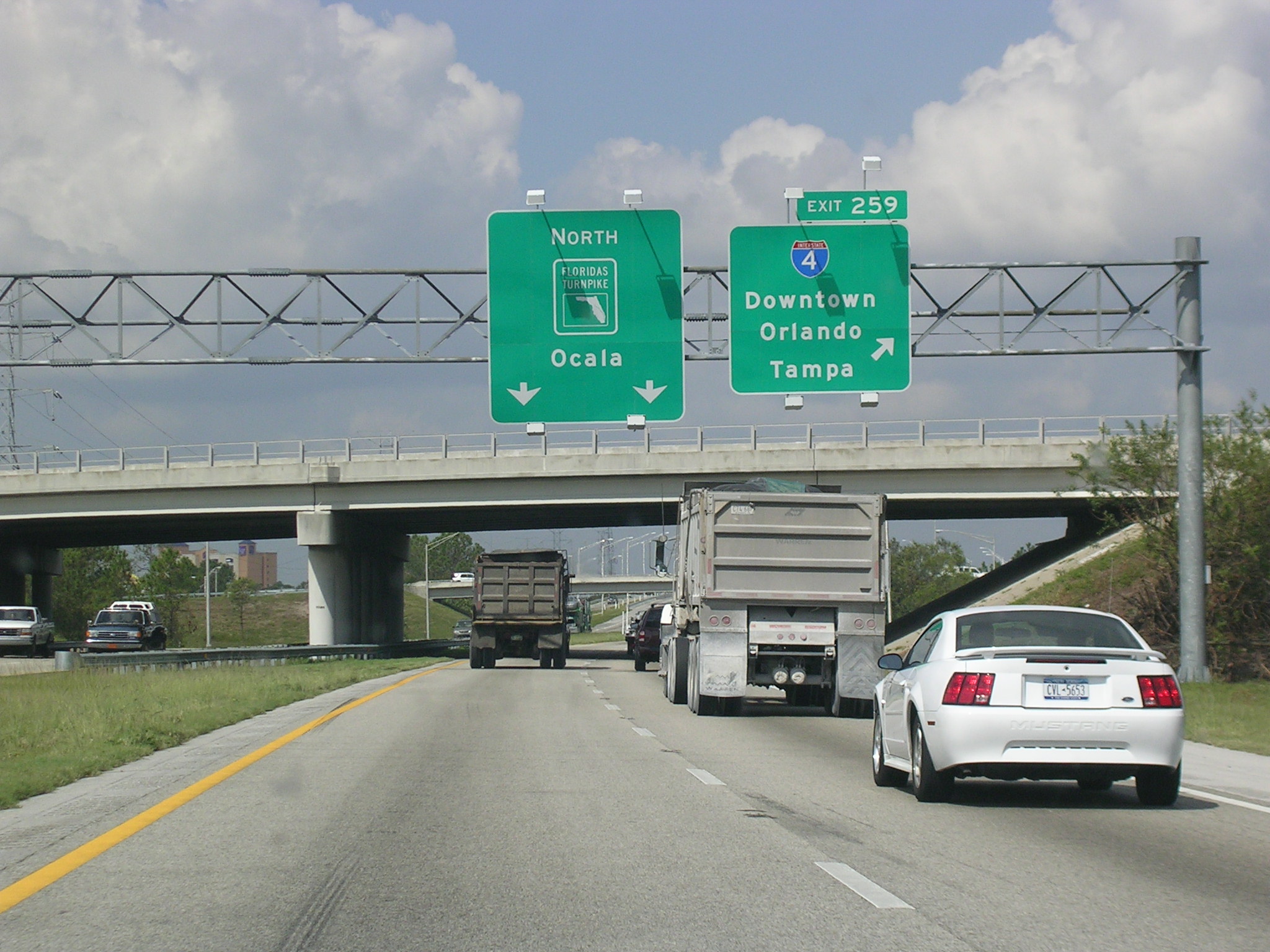
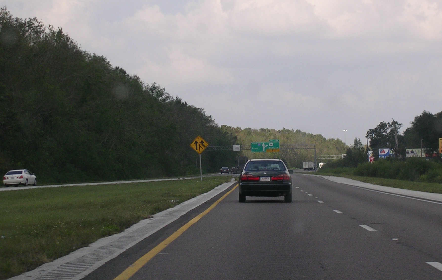
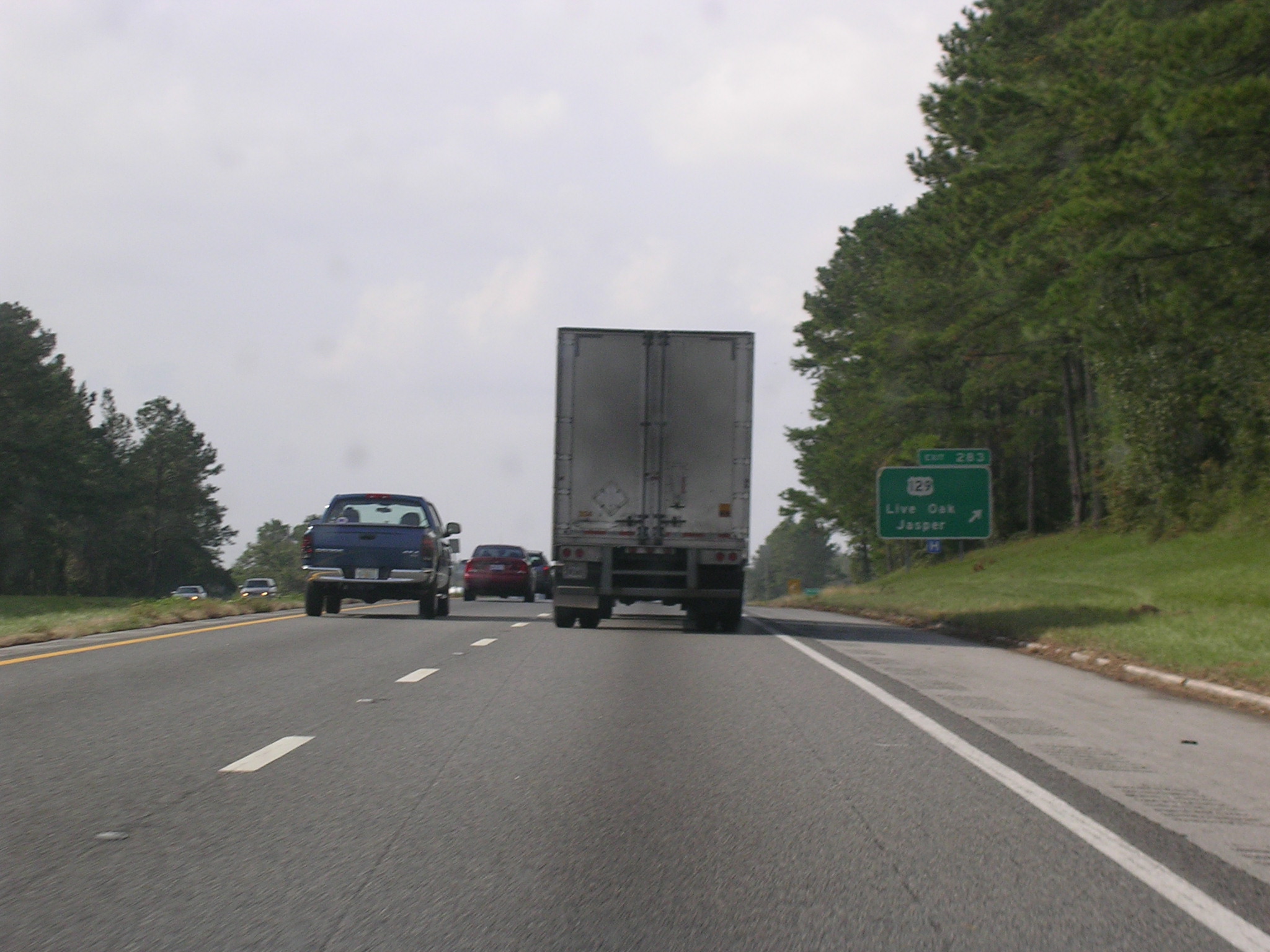
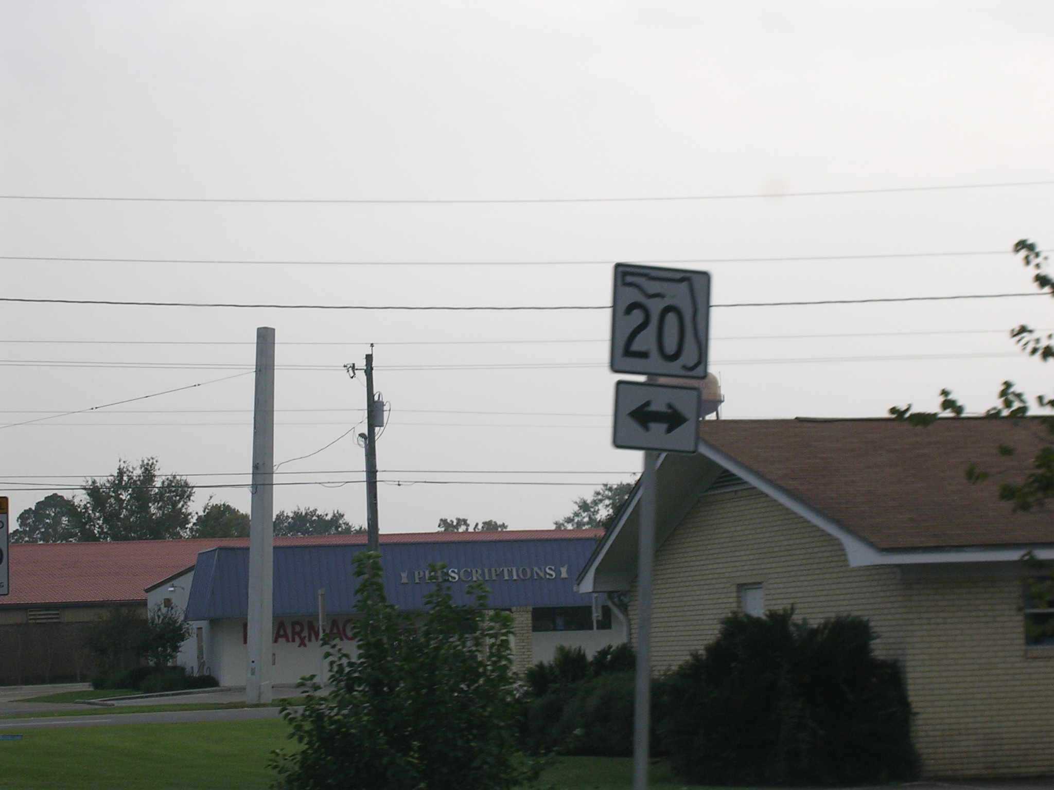
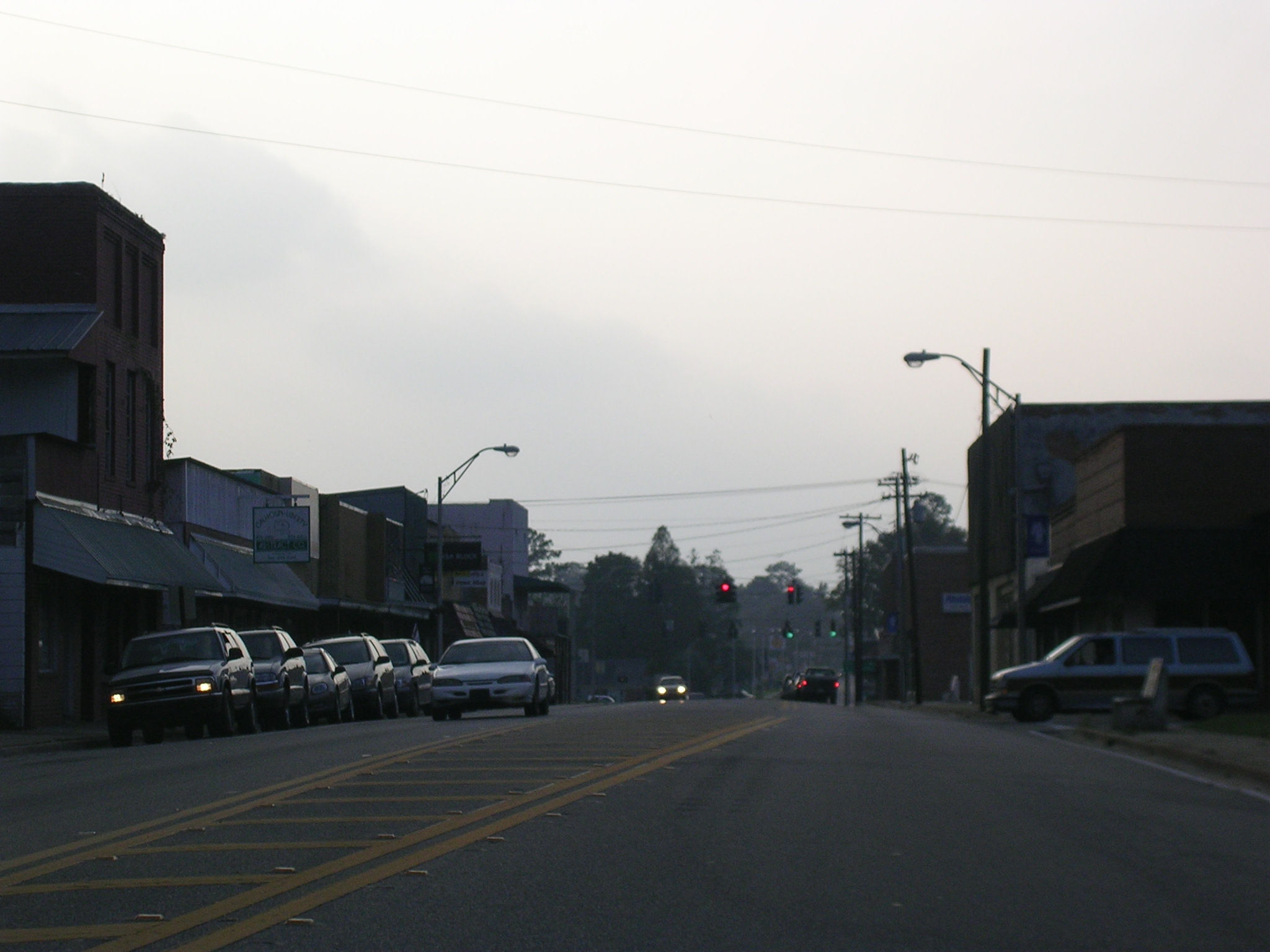
this is the turnpike further north, without a jersey barrier.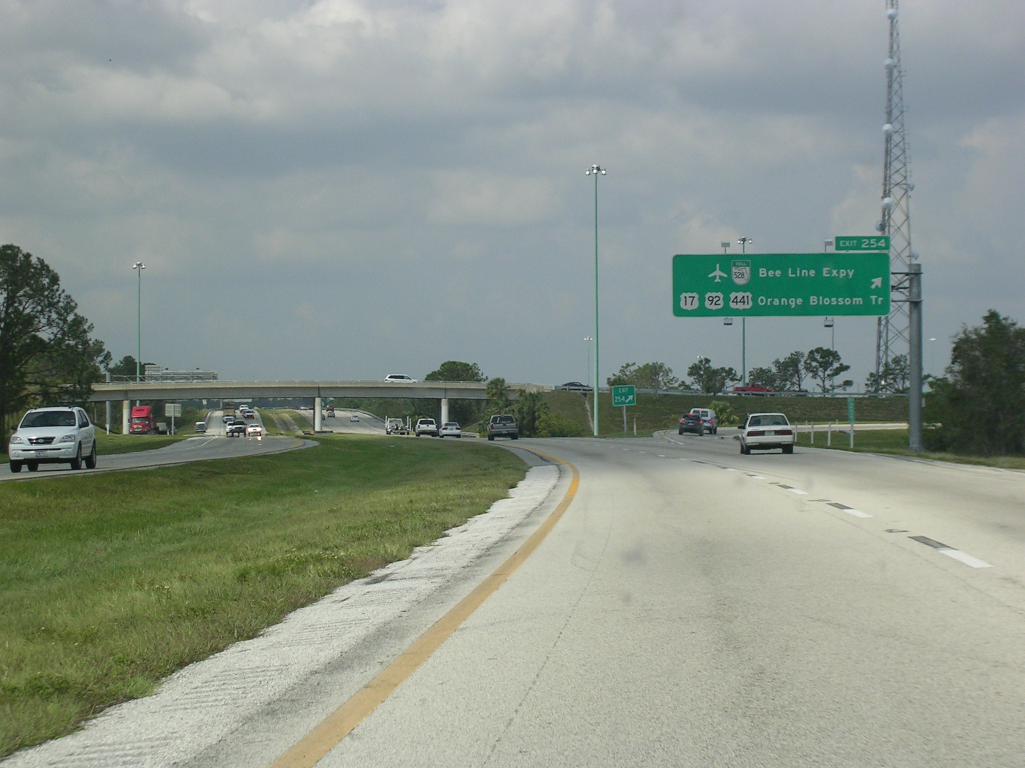 NB
turnpike nearing Orlando. This is at the Beeline Expy. exit, which
coincides with the junction for US 17, US 92, and US 441.
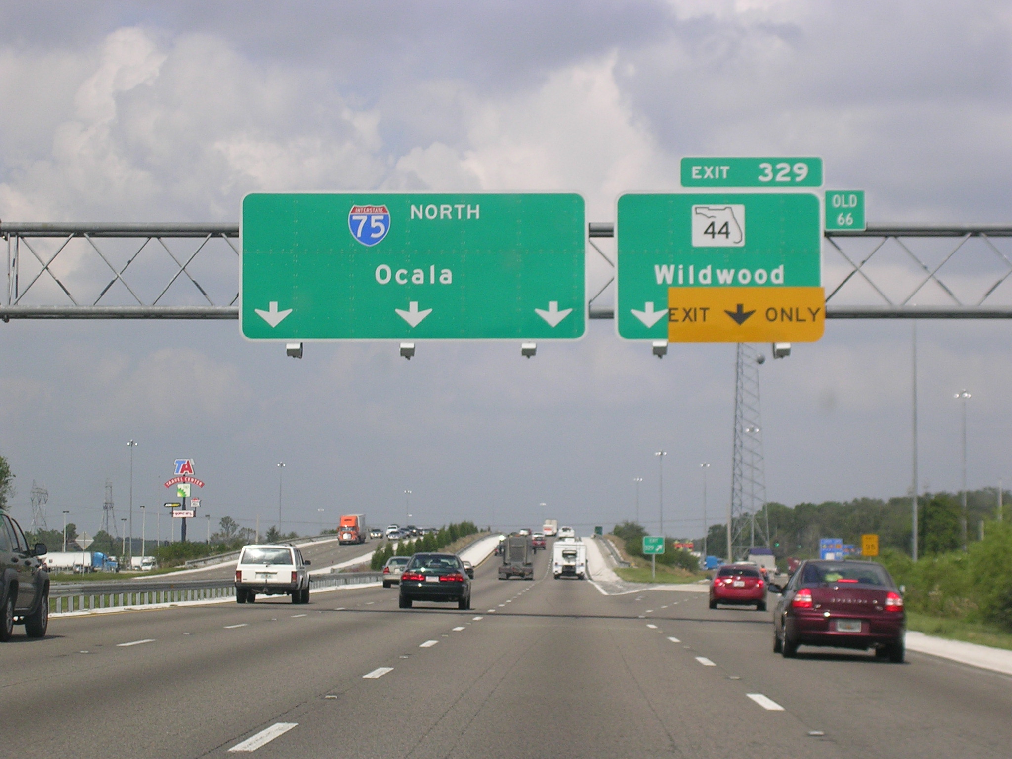
NB
turnpike nearing Orlando. This is at the Beeline Expy. exit, which
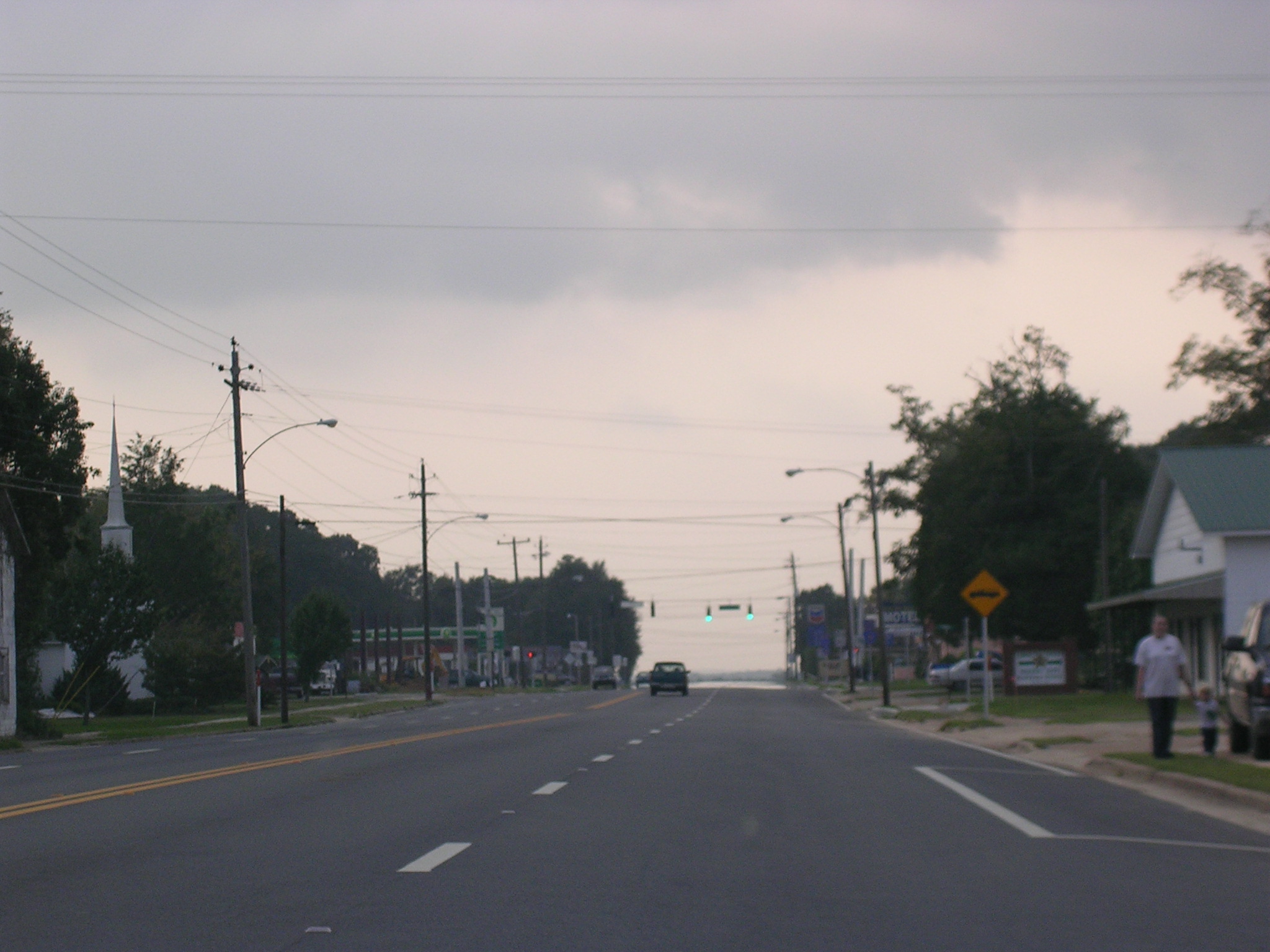
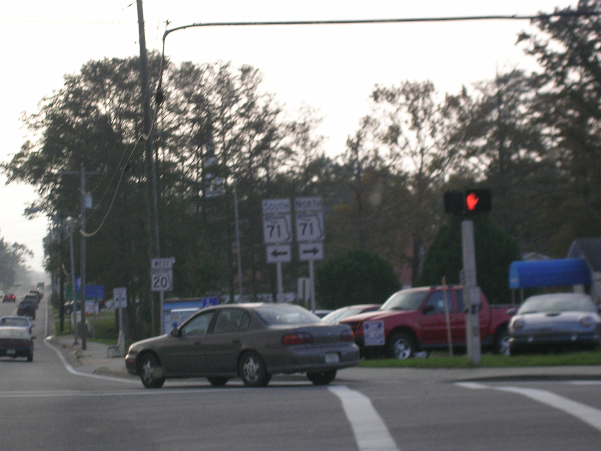
coincides with the junction for US 17, US 92, and US 441.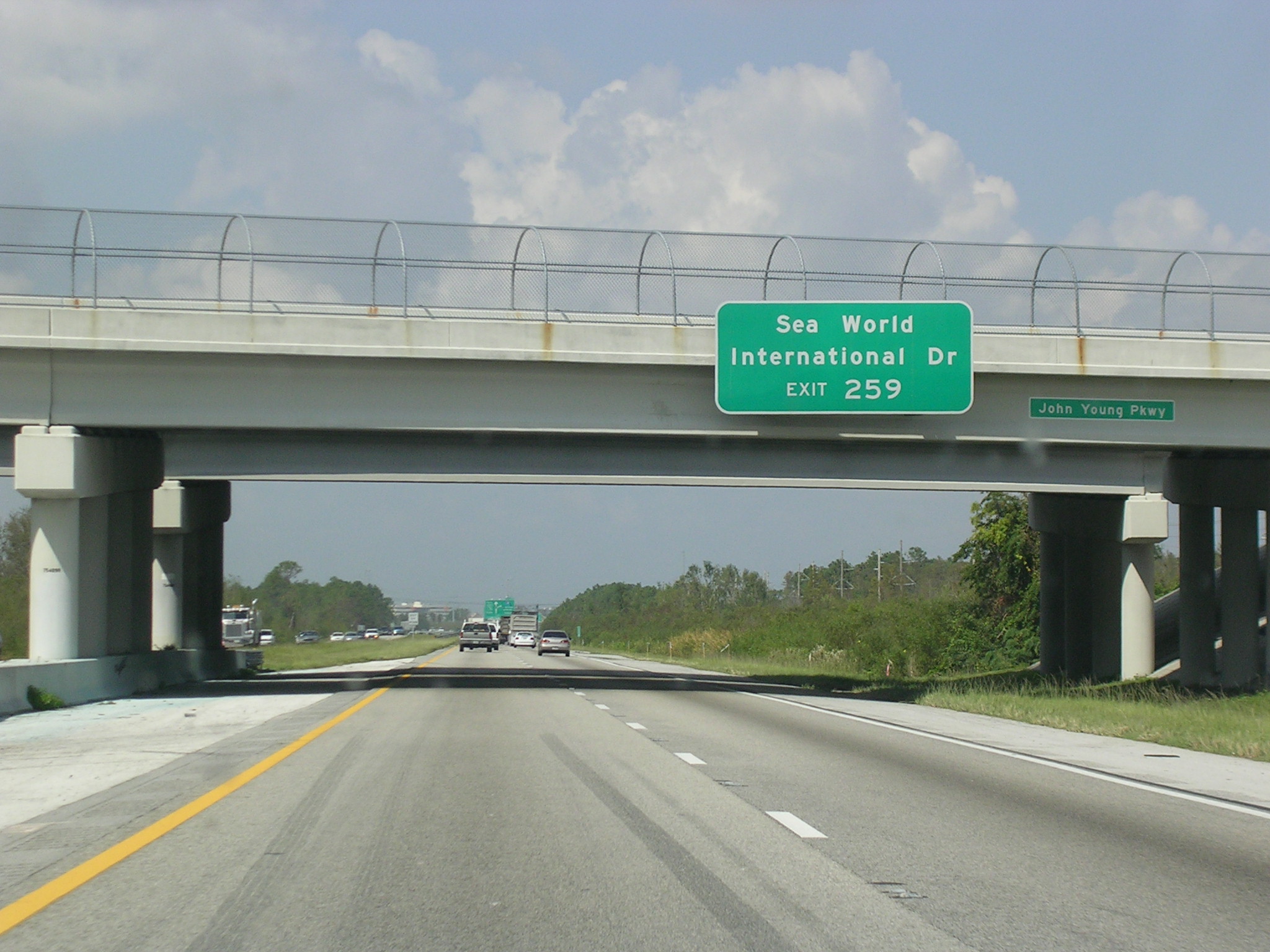 Neat-o,
we're at Sea World!
Neat-o,
we're at Sea World!