 A
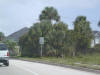
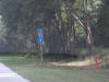
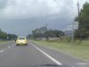
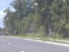
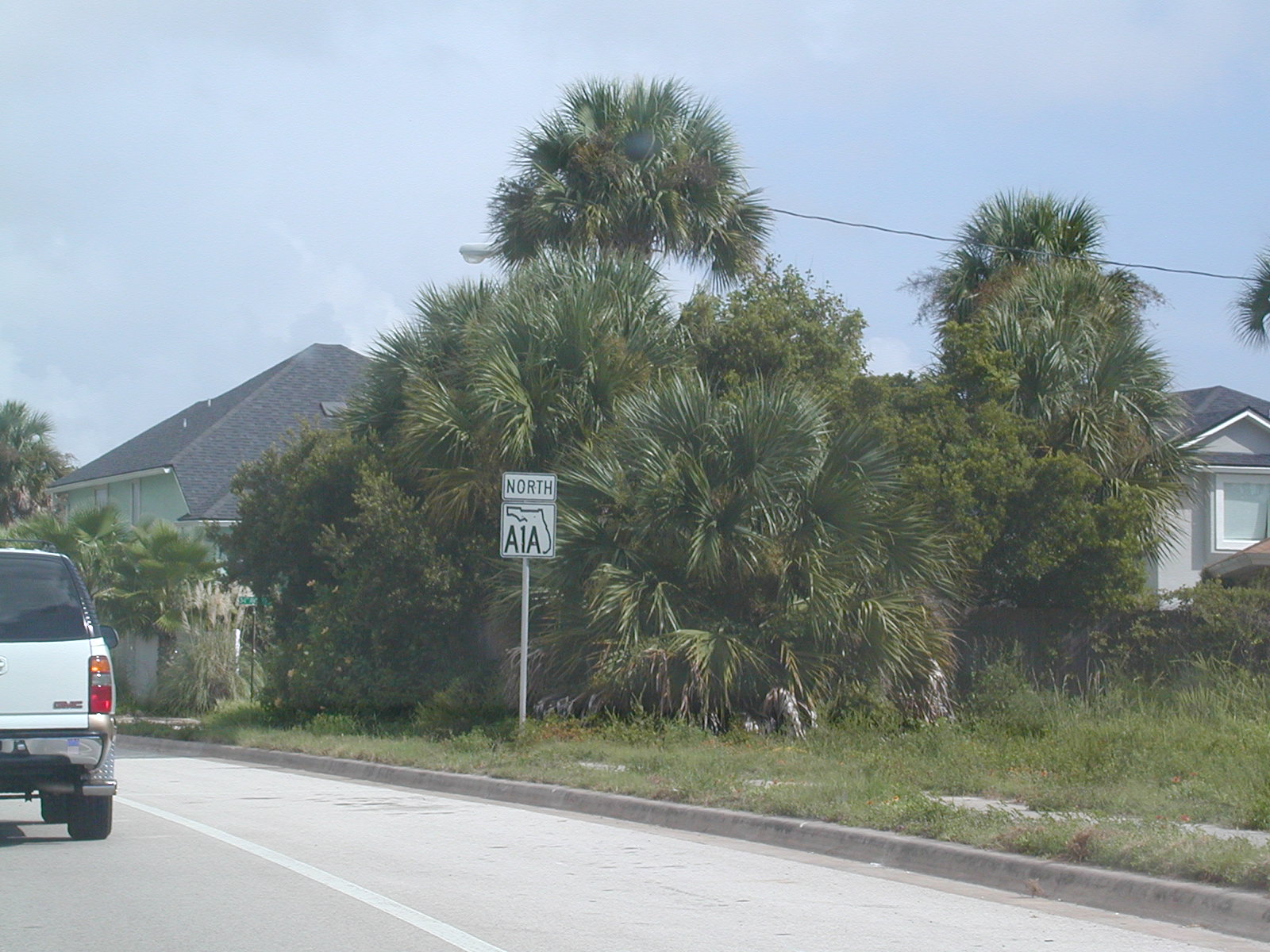
North FL A1A shield around Jax Beach. A
North FL A1A shield around Jax Beach. |
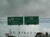
 This
would be the eastern beginning of US 90, which ends in the nothingness of
West Texas. This
would be the eastern beginning of US 90, which ends in the nothingness of
West Texas. |
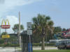
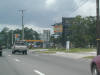
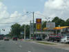
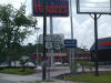
 Oh
mother, look at all those fantastically low gas prices!! Oh
mother, look at all those fantastically low gas prices!! |
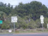
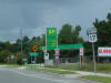
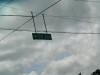
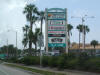 Here's
FL 10, which has no relation to I-10, although looking at a map it looks
like the state road is a continuation of the interstate. Here's
FL 10, which has no relation to I-10, although looking at a map it looks
like the state road is a continuation of the interstate. |
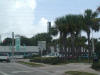 FL
A1A NB follows the beginning of FL 10. FL
A1A NB follows the beginning of FL 10. |
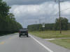
 West
and north on two state roads. West
and north on two state roads. |
 FL
A1A NB at FL 101, near the Mayport Naval Station. Soon, FL A1A will go
over a ferry to cross over the St. John's River, right near the mouth of the
river. FL
A1A NB at FL 101, near the Mayport Naval Station. Soon, FL A1A will go
over a ferry to cross over the St. John's River, right near the mouth of the
river. |
 Follow
the truck route via FL 105. Follow
the truck route via FL 105. |
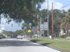
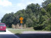 Whoa
there, mixin' it up! Roundabout ahead. Whoa
there, mixin' it up! Roundabout ahead. |
 And
here's the famous roundabout. And
here's the famous roundabout. |
 All
signs lead to I-95 it seems. All
signs lead to I-95 it seems. |
 In
Fernandina Beach, FL A1A makes a turn to the west, along FL 200.
They're multiplexed until Callahan, a while away. In
Fernandina Beach, FL A1A makes a turn to the west, along FL 200.
They're multiplexed until Callahan, a while away. |
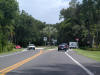
 Notice
how there are no longer any "North" banners on the FL A1A shields. Notice
how there are no longer any "North" banners on the FL A1A shields. |
 The
bridge over the Intracoastal. The
bridge over the Intracoastal. |
 There's
no reason for both state roads methinks. Get rid of FL A1A, because
that is a coastal road its entire length, except for this stretch. There's
no reason for both state roads methinks. Get rid of FL A1A, because
that is a coastal road its entire length, except for this stretch. |
 At
US 17 north of Jax. At
US 17 north of Jax. |
 North
US 17 shield. North
US 17 shield. |
 We
kept going on FL A1A and FL 200 West. We
kept going on FL A1A and FL 200 West. |
 The
road narrows on its way to US 301. The
road narrows on its way to US 301. |
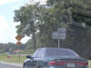
 I
wonder why US 301 gets prominence and US 1 seems a little shoved to the
side. I
wonder why US 301 gets prominence and US 1 seems a little shoved to the
side. |
 But
here US 301 takes its its rightful position on the bottom. We came
here so I could see the end of FL A1A. But
here US 301 takes its its rightful position on the bottom. We came
here so I could see the end of FL A1A. |
 Proof
of FL A1A's demise. Proof
of FL A1A's demise. |
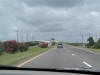
 Headed
south on US 1 and US 23 on our way back to Jacksonville International
Airport. Headed
south on US 1 and US 23 on our way back to Jacksonville International
Airport. |
 I
didn't like this beach much to walk on (too shelly) but it really was
pretty. Dad took this picture. I
didn't like this beach much to walk on (too shelly) but it really was
pretty. Dad took this picture. |
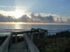 Taken
from the walkover from the house we rented on Vilano Beach, north of St.
Augustine. Taken
from the walkover from the house we rented on Vilano Beach, north of St.
Augustine. |
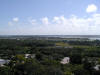 Looking
southwest from the top of the St. Augustine lighthouse. Looking
southwest from the top of the St. Augustine lighthouse. |
 A
look at downtown. The pointy buildings are Flagler College. The
Bridge of Lions was up when I snapped this shot. A
look at downtown. The pointy buildings are Flagler College. The
Bridge of Lions was up when I snapped this shot. |
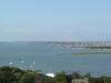
 A
look northward towards the Vilano Beach bridge (FL A1A) over the Tolomato
River. The Matanzas River comes in from the top left to merge with the
Tolomato (from the north) and an inlet (foreground) before exiting into the
Atlantic. A
look northward towards the Vilano Beach bridge (FL A1A) over the Tolomato
River. The Matanzas River comes in from the top left to merge with the
Tolomato (from the north) and an inlet (foreground) before exiting into the
Atlantic. |
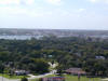
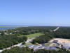
 The
view of Vilano Beach (the town) with the inlet taking up most of the
picture. The
view of Vilano Beach (the town) with the inlet taking up most of the
picture. |
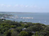
 Looking
south down FL A1A. Looking
south down FL A1A. |
 The
inlet kinda fizzes away and a strip of beach separates it from the Atlantic. The
inlet kinda fizzes away and a strip of beach separates it from the Atlantic. |
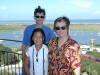 Buncha
freaks if you ask me. Buncha
freaks if you ask me. |
 A
North FL A1A shield around Jax Beach.
A
North FL A1A shield around Jax Beach.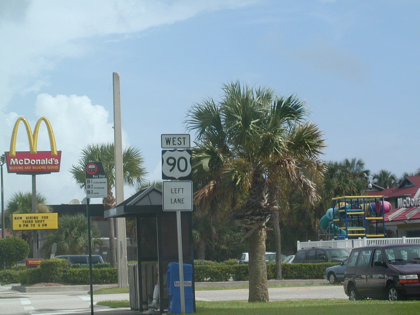 This
would be the eastern beginning of US 90, which ends in the nothingness of
West Texas.
This
would be the eastern beginning of US 90, which ends in the nothingness of
West Texas.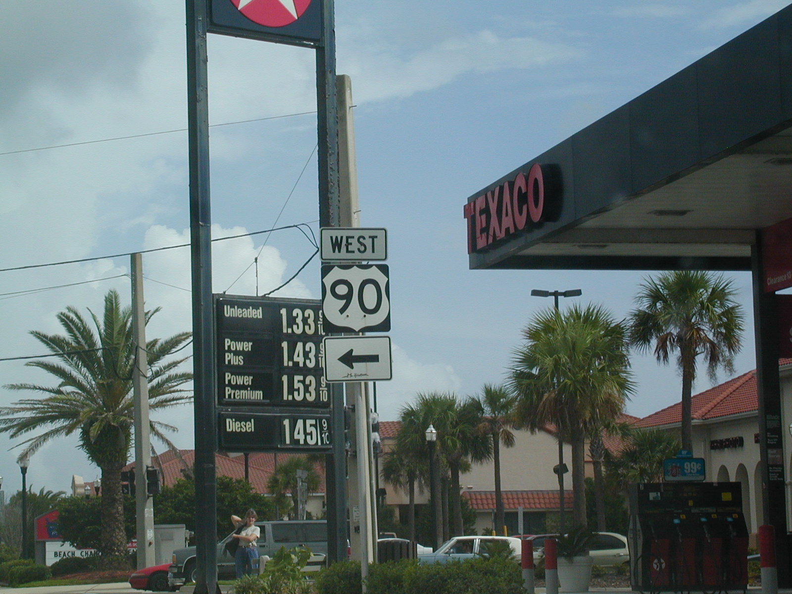 Oh
mother, look at all those fantastically low gas prices!!
Oh
mother, look at all those fantastically low gas prices!!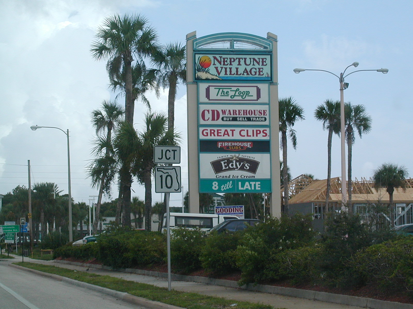 Here's
FL 10, which has no relation to I-10, although looking at a map it looks
like the state road is a continuation of the interstate.
Here's
FL 10, which has no relation to I-10, although looking at a map it looks
like the state road is a continuation of the interstate. FL
A1A NB follows the beginning of FL 10.
FL
A1A NB follows the beginning of FL 10.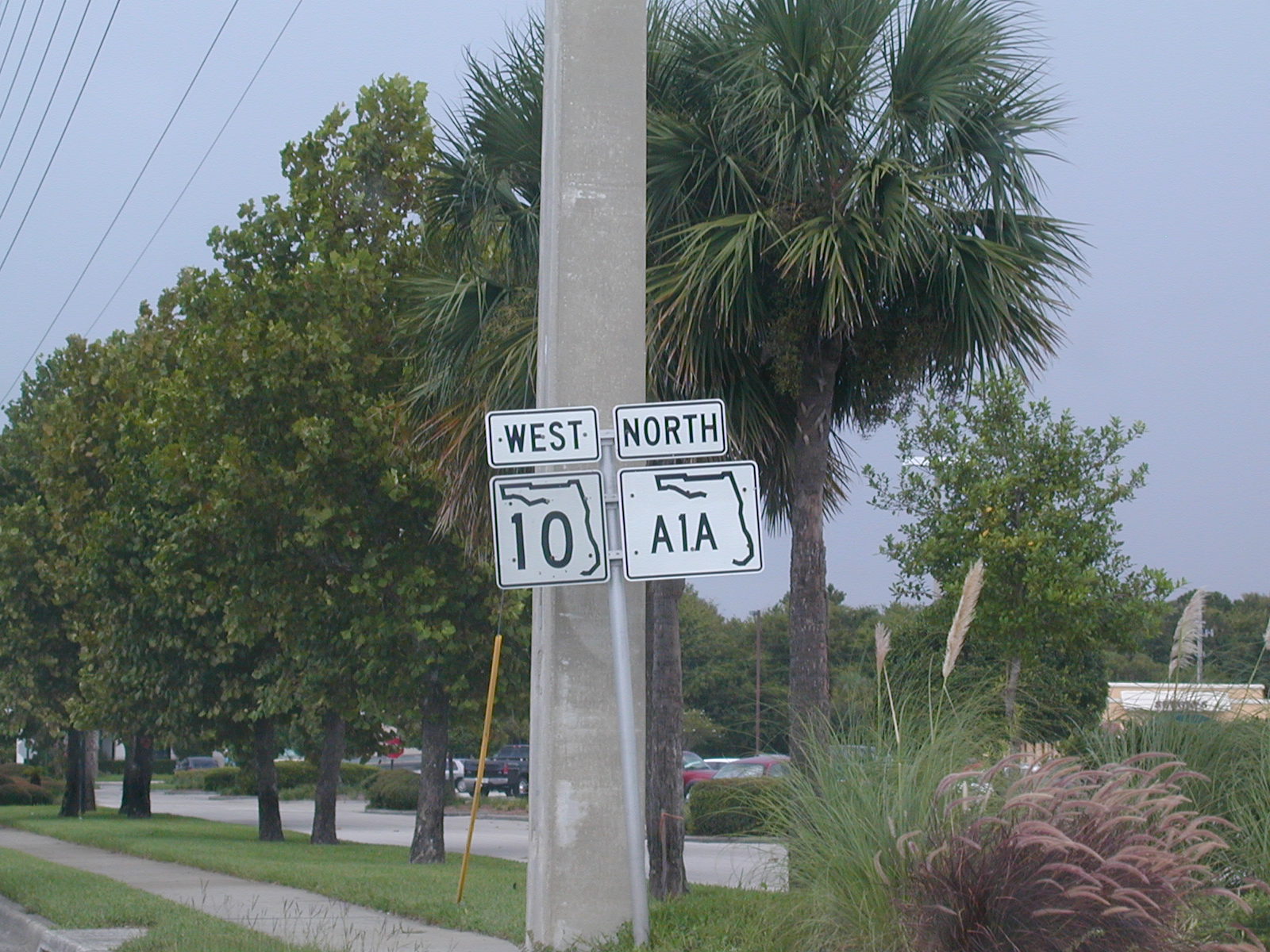 West
and north on two state roads.
West
and north on two state roads.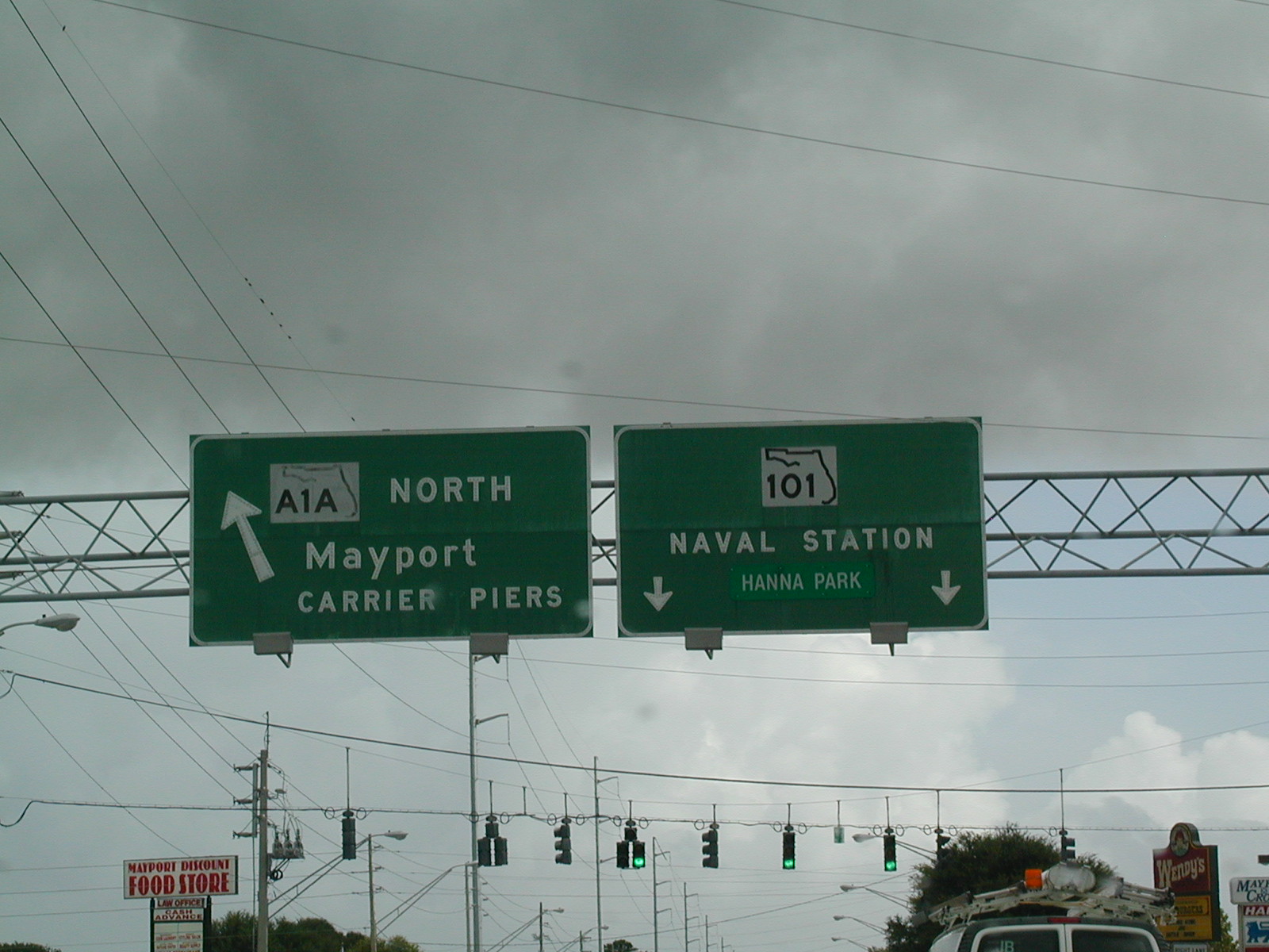 FL
A1A NB at FL 101, near the Mayport Naval Station. Soon, FL A1A will go
over a ferry to cross over the St. John's River, right near the mouth of the
river.
FL
A1A NB at FL 101, near the Mayport Naval Station. Soon, FL A1A will go
over a ferry to cross over the St. John's River, right near the mouth of the
river.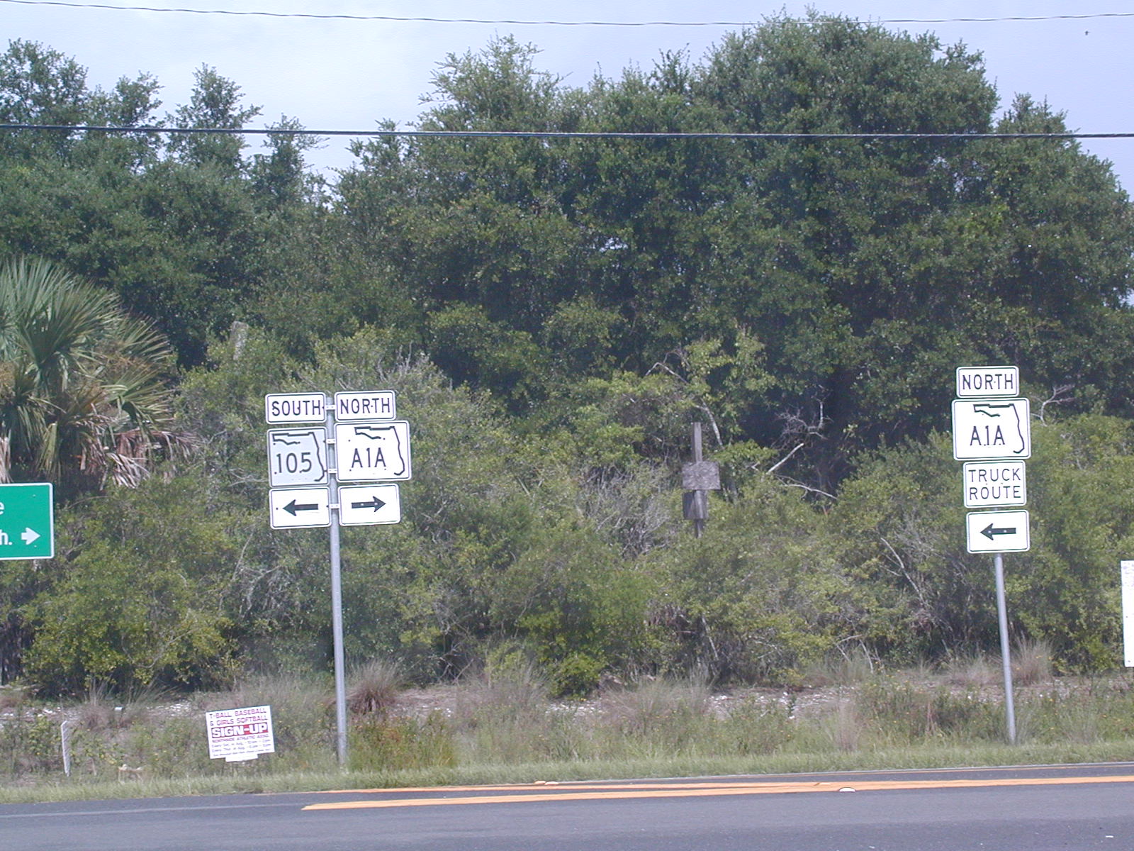 Follow
the truck route via FL 105.
Follow
the truck route via FL 105.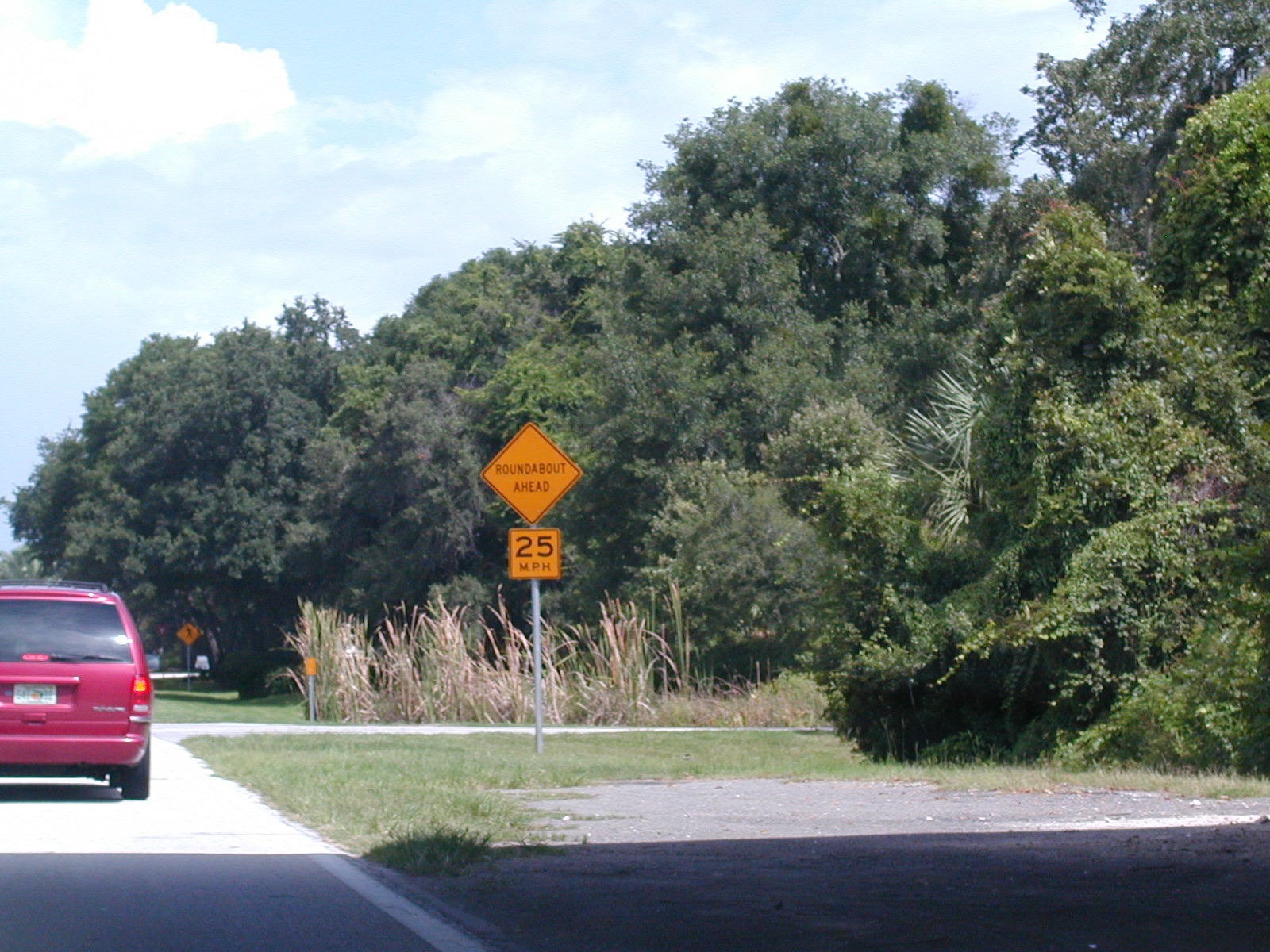 Whoa
there, mixin' it up! Roundabout ahead.
Whoa
there, mixin' it up! Roundabout ahead.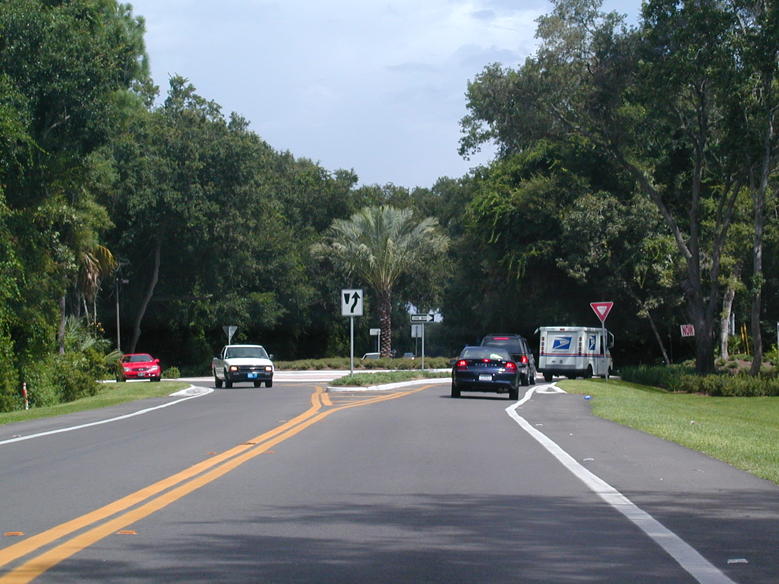 And
here's the famous roundabout.
And
here's the famous roundabout. All
signs lead to I-95 it seems.
All
signs lead to I-95 it seems.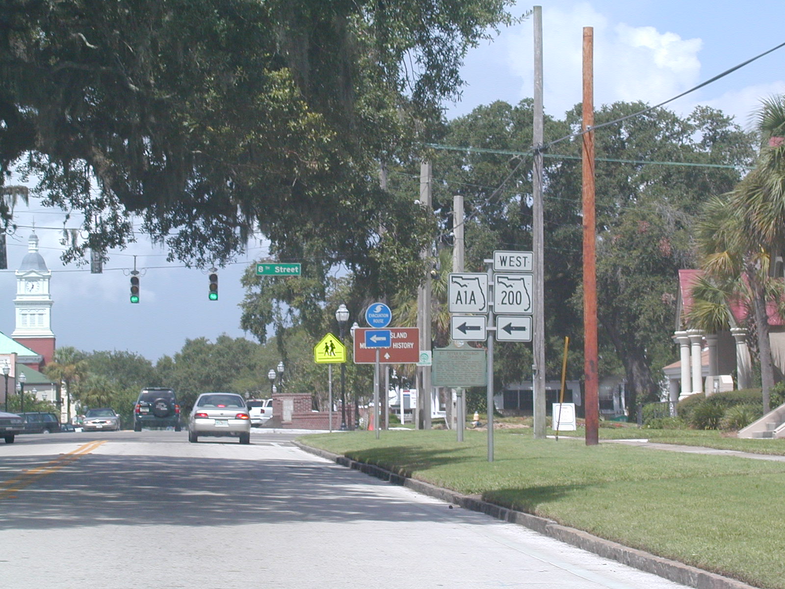 In
Fernandina Beach, FL A1A makes a turn to the west, along FL 200.
They're multiplexed until Callahan, a while away.
In
Fernandina Beach, FL A1A makes a turn to the west, along FL 200.
They're multiplexed until Callahan, a while away. Notice
how there are no longer any "North" banners on the FL A1A shields.
Notice
how there are no longer any "North" banners on the FL A1A shields. The
bridge over the Intracoastal.
The
bridge over the Intracoastal. There's
no reason for both state roads methinks. Get rid of FL A1A, because
that is a coastal road its entire length, except for this stretch.
There's
no reason for both state roads methinks. Get rid of FL A1A, because
that is a coastal road its entire length, except for this stretch.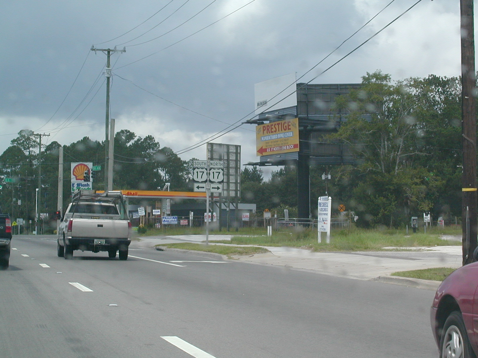 At
US 17 north of Jax.
At
US 17 north of Jax. North
US 17 shield.
North
US 17 shield.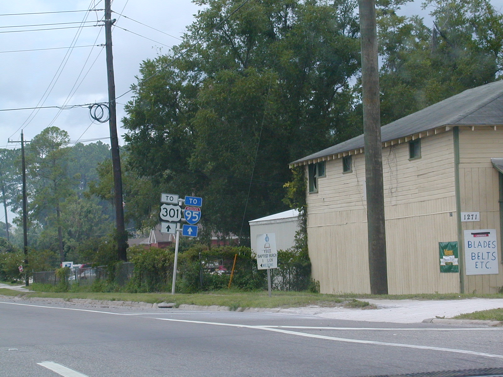 We
kept going on FL A1A and FL 200 West.
We
kept going on FL A1A and FL 200 West.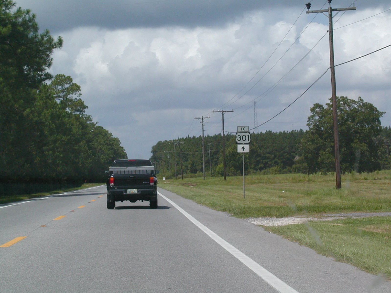 The
road narrows on its way to US 301.
The
road narrows on its way to US 301.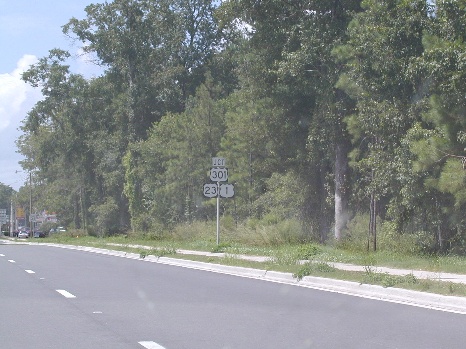 I
wonder why US 301 gets prominence and US 1 seems a little shoved to the
side.
I
wonder why US 301 gets prominence and US 1 seems a little shoved to the
side. But
here US 301 takes its its rightful position on the bottom. We came
here so I could see the end of FL A1A.
But
here US 301 takes its its rightful position on the bottom. We came
here so I could see the end of FL A1A.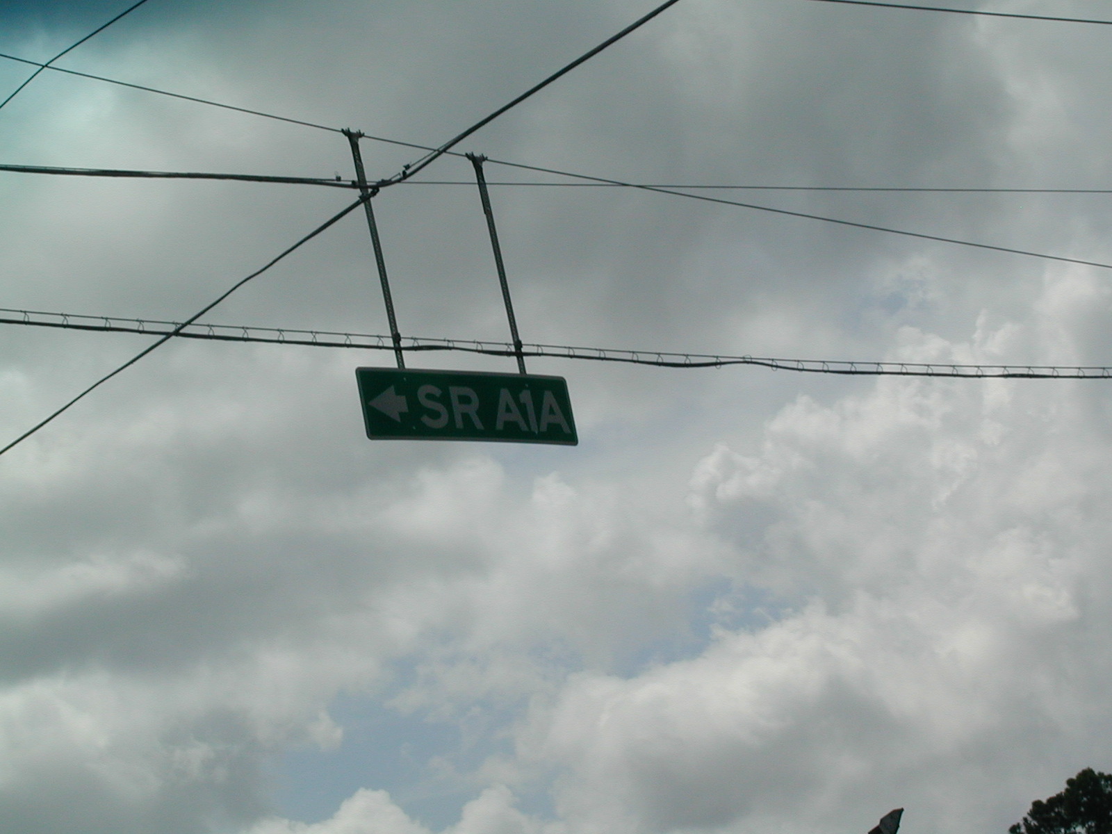 Proof
of FL A1A's demise.
Proof
of FL A1A's demise. Headed
south on US 1 and US 23 on our way back to Jacksonville International
Airport.
Headed
south on US 1 and US 23 on our way back to Jacksonville International
Airport.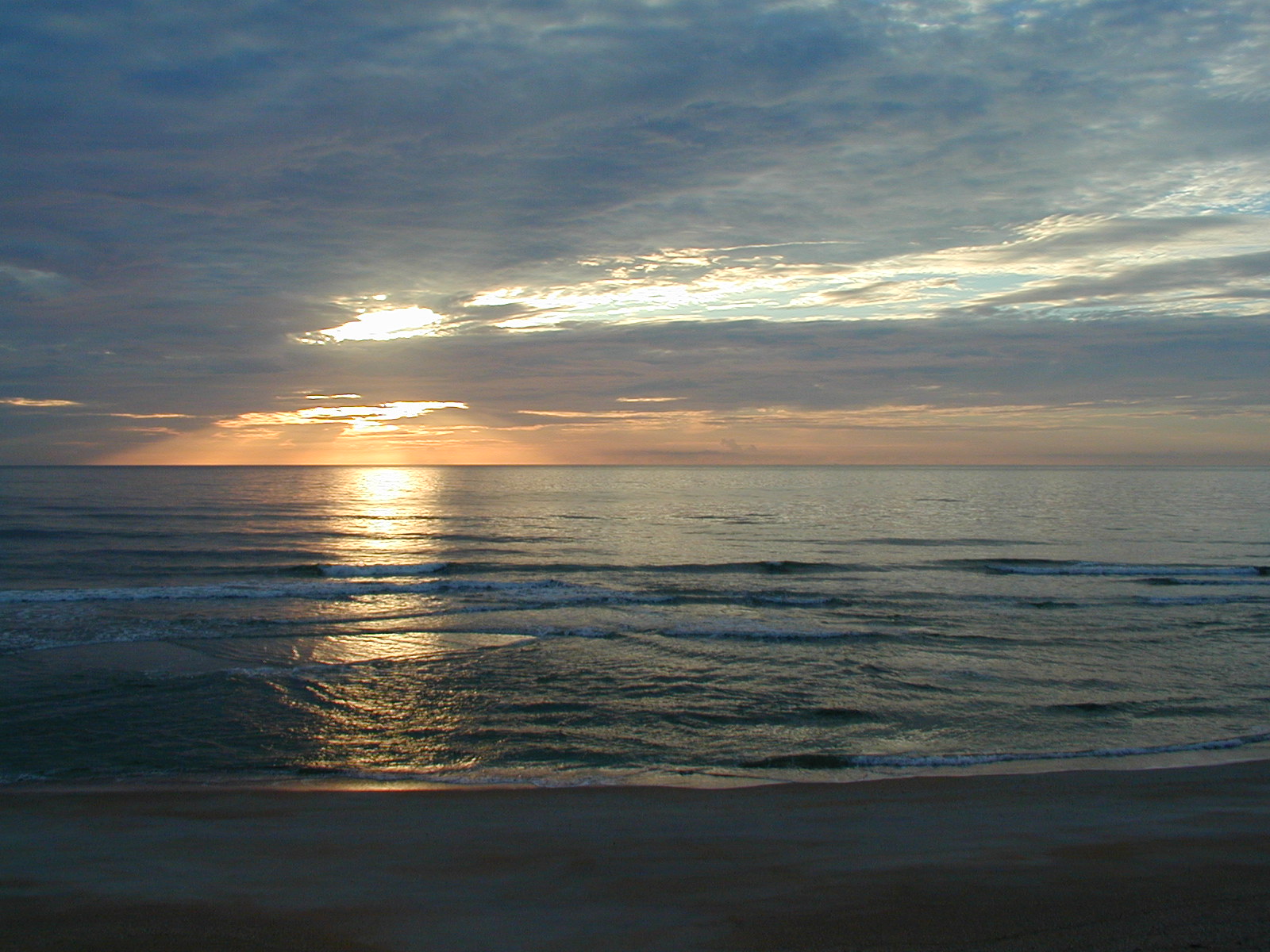 I
didn't like this beach much to walk on (too shelly) but it really was
pretty. Dad took this picture.
I
didn't like this beach much to walk on (too shelly) but it really was
pretty. Dad took this picture. Taken
from the walkover from the house we rented on Vilano Beach, north of St.
Augustine.
Taken
from the walkover from the house we rented on Vilano Beach, north of St.
Augustine. Looking
southwest from the top of the St. Augustine lighthouse.
Looking
southwest from the top of the St. Augustine lighthouse. A
look at downtown. The pointy buildings are Flagler College. The
Bridge of Lions was up when I snapped this shot.
A
look at downtown. The pointy buildings are Flagler College. The
Bridge of Lions was up when I snapped this shot.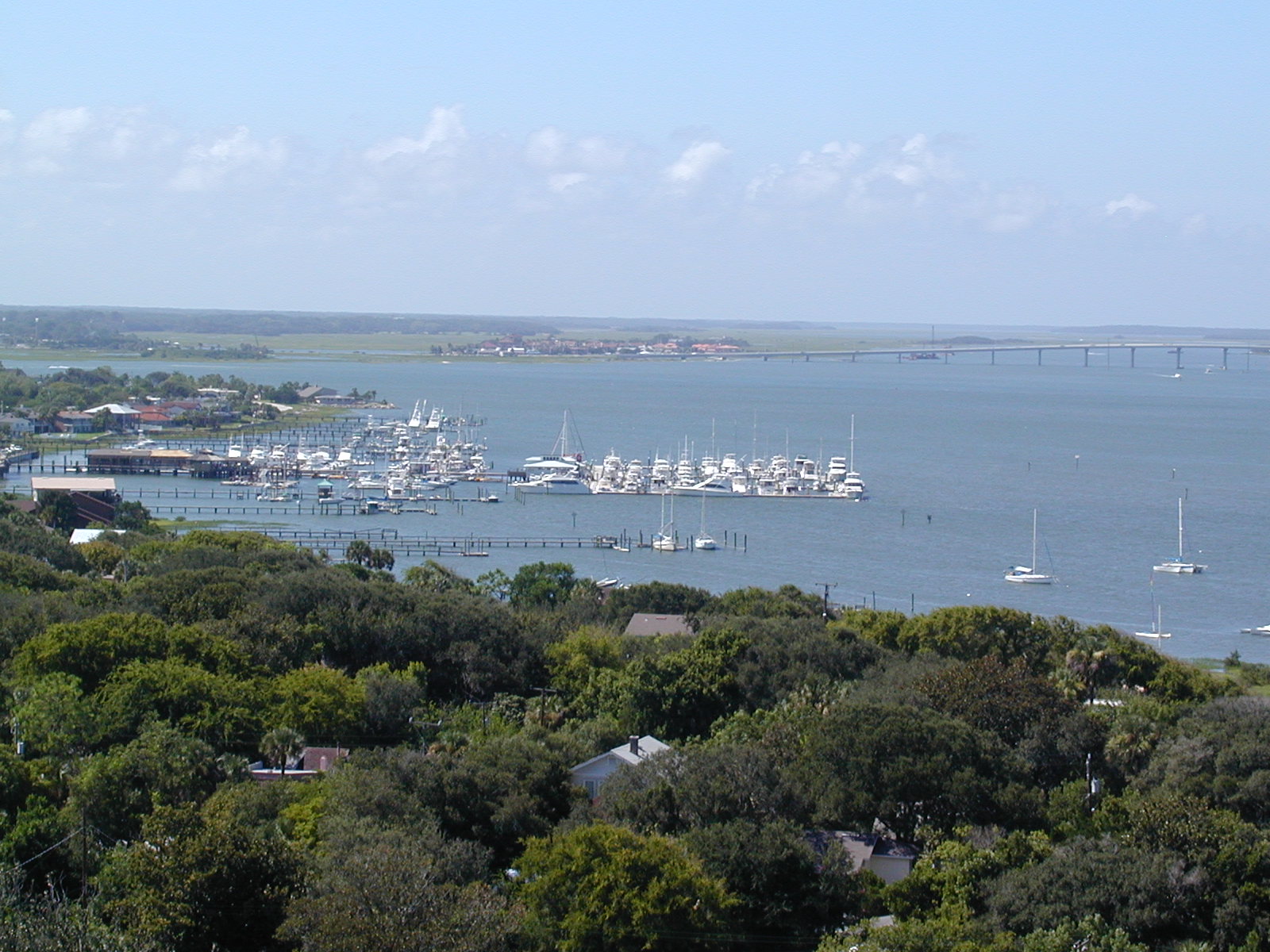 A
look northward towards the Vilano Beach bridge (FL A1A) over the Tolomato
River. The Matanzas River comes in from the top left to merge with the
Tolomato (from the north) and an inlet (foreground) before exiting into the
Atlantic.
A
look northward towards the Vilano Beach bridge (FL A1A) over the Tolomato
River. The Matanzas River comes in from the top left to merge with the
Tolomato (from the north) and an inlet (foreground) before exiting into the
Atlantic.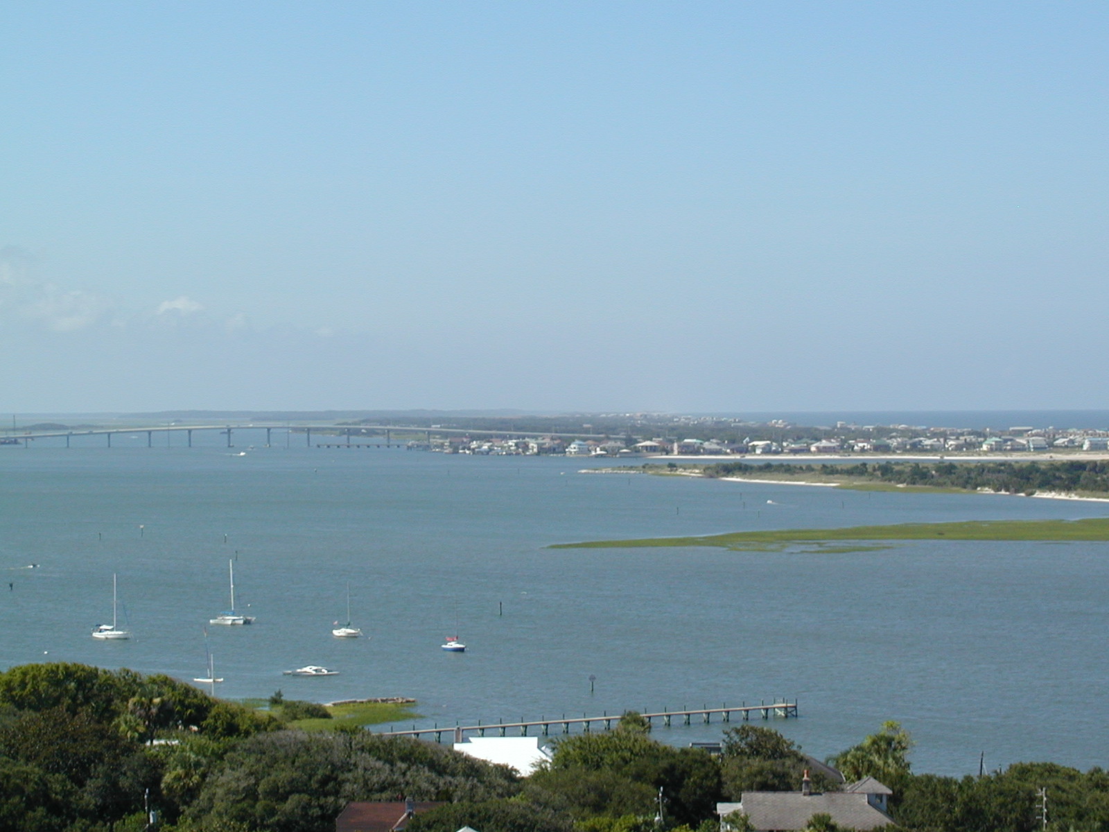 The
view of Vilano Beach (the town) with the inlet taking up most of the
picture.
The
view of Vilano Beach (the town) with the inlet taking up most of the
picture.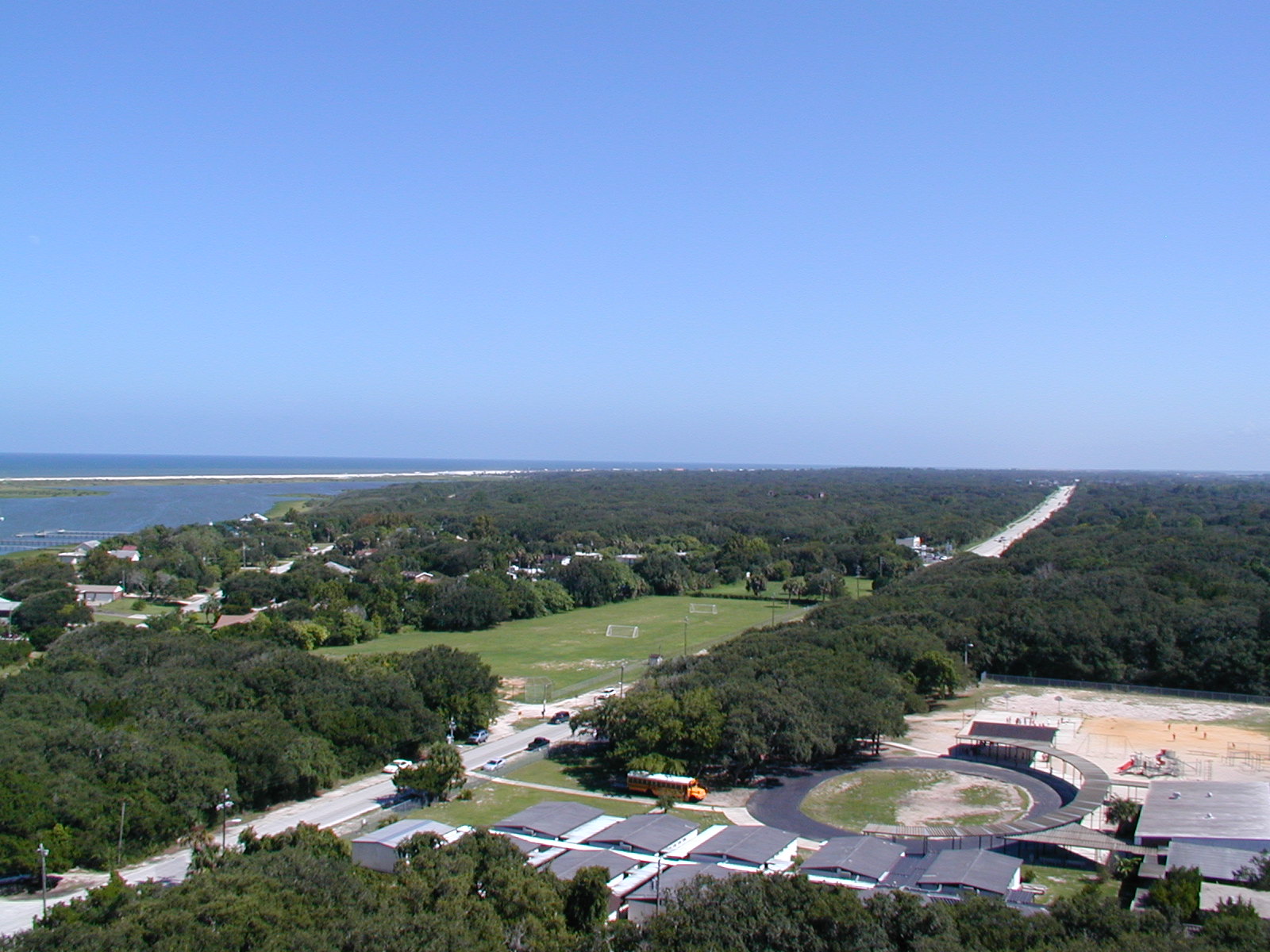 Looking
south down FL A1A.
Looking
south down FL A1A.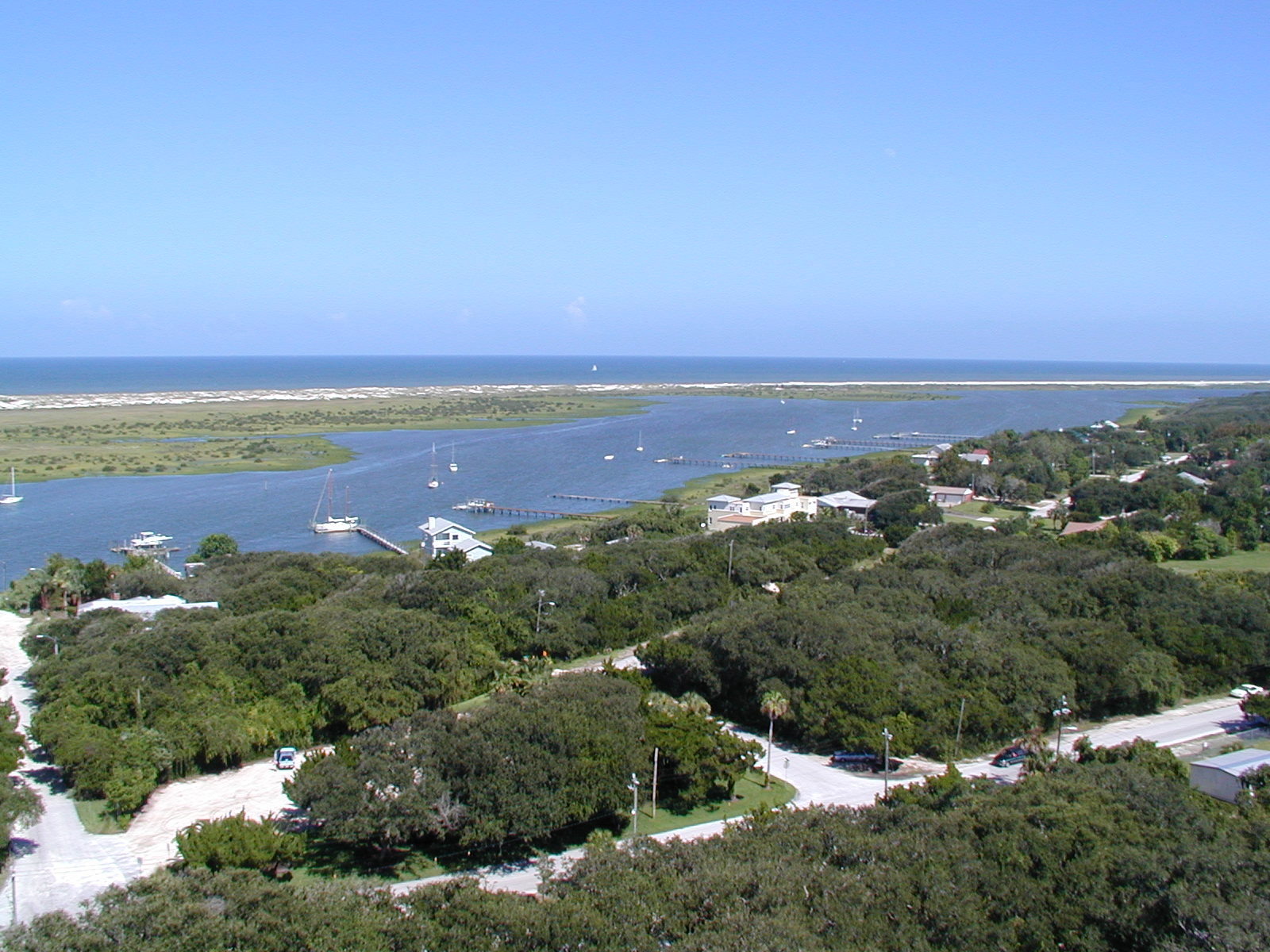 The
inlet kinda fizzes away and a strip of beach separates it from the Atlantic.
The
inlet kinda fizzes away and a strip of beach separates it from the Atlantic. Buncha
freaks if you ask me.
Buncha
freaks if you ask me.