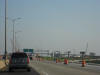
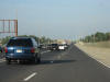
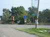
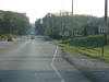
 This
is the view immediately south of the (currently) final toll plaza on I-355
SB. This
is the view immediately south of the (currently) final toll plaza on I-355
SB. |
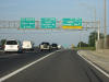
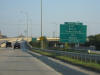
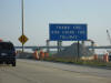 This
sign is destined for the scrap heap, as you might be able to tell with all
the construction around. I-55 is just ahead. This
sign is destined for the scrap heap, as you might be able to tell with all
the construction around. I-55 is just ahead. |
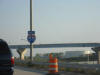 I
hate when the road authorities put reassurance shields on roads that don't
deserve them. This is not I-55 NB, it is still on I-355 SB, albeit on
the ramp. I
hate when the road authorities put reassurance shields on roads that don't
deserve them. This is not I-55 NB, it is still on I-355 SB, albeit on
the ramp. |
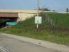 This
shield is faded and green-looking. But it used to be brown,
designating an historic route. That route would be US 66. This
pic is on I-55 NB just north of I-355. This
shield is faded and green-looking. But it used to be brown,
designating an historic route. That route would be US 66. This
pic is on I-55 NB just north of I-355. |
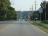
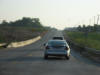
 This
is what I-55 NB looks like. This
is what I-55 NB looks like. |
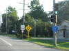
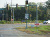
 I-55
NB (Stevenson Expy) at Lemont Road. I-55
NB (Stevenson Expy) at Lemont Road. |
 Lemont
Road is DuPage CR 9. If you look super super close at the lower right
corner of the blue pentagon shield, you'll see that DuPage DOT installed it
in 2004. Lemont
Road is DuPage CR 9. If you look super super close at the lower right
corner of the blue pentagon shield, you'll see that DuPage DOT installed it
in 2004. |
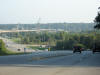 The
view of Lemont Road as it crosses the Des Plaines River. The
view of Lemont Road as it crosses the Des Plaines River. |
 End
DuPage CR 9. Welcome to Will County! End
DuPage CR 9. Welcome to Will County! |
 This
seems like a pretty makeshift BGS. But I guess it is just for Lemont
Road and not an interstate. This
seems like a pretty makeshift BGS. But I guess it is just for Lemont
Road and not an interstate. |
 The
name for Lemont Road in the town of Lemont is State Street. The
name for Lemont Road in the town of Lemont is State Street. |
 And
here it crosses IL 171, Archer Avenue. Archer Ave. heads northeast all
the way into downtown Chicago. And
here it crosses IL 171, Archer Avenue. Archer Ave. heads northeast all
the way into downtown Chicago. |
 But
we're heading in the opposite direction, toward Joliet. But
we're heading in the opposite direction, toward Joliet. |
 This
is where I-355 will soon cross over Archer Ave. This
is where I-355 will soon cross over Archer Ave. |
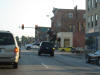
 Just
an IL 171 scene. Just
an IL 171 scene. |
 Now
we're in Lockport, just north of Joliet, at IL 7. Now
we're in Lockport, just north of Joliet, at IL 7. |
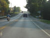
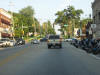 IL
7 EB in downtown Lockport. IL
7 EB in downtown Lockport. |
 Okay,
so it says North, but IL 7 generally goes SW to NE and in these parts it is
due E-W. Okay,
so it says North, but IL 7 generally goes SW to NE and in these parts it is
due E-W. |
 This
is the view immediately south of the (currently) final toll plaza on I-355
SB.
This
is the view immediately south of the (currently) final toll plaza on I-355
SB. This
sign is destined for the scrap heap, as you might be able to tell with all
the construction around. I-55 is just ahead.
This
sign is destined for the scrap heap, as you might be able to tell with all
the construction around. I-55 is just ahead.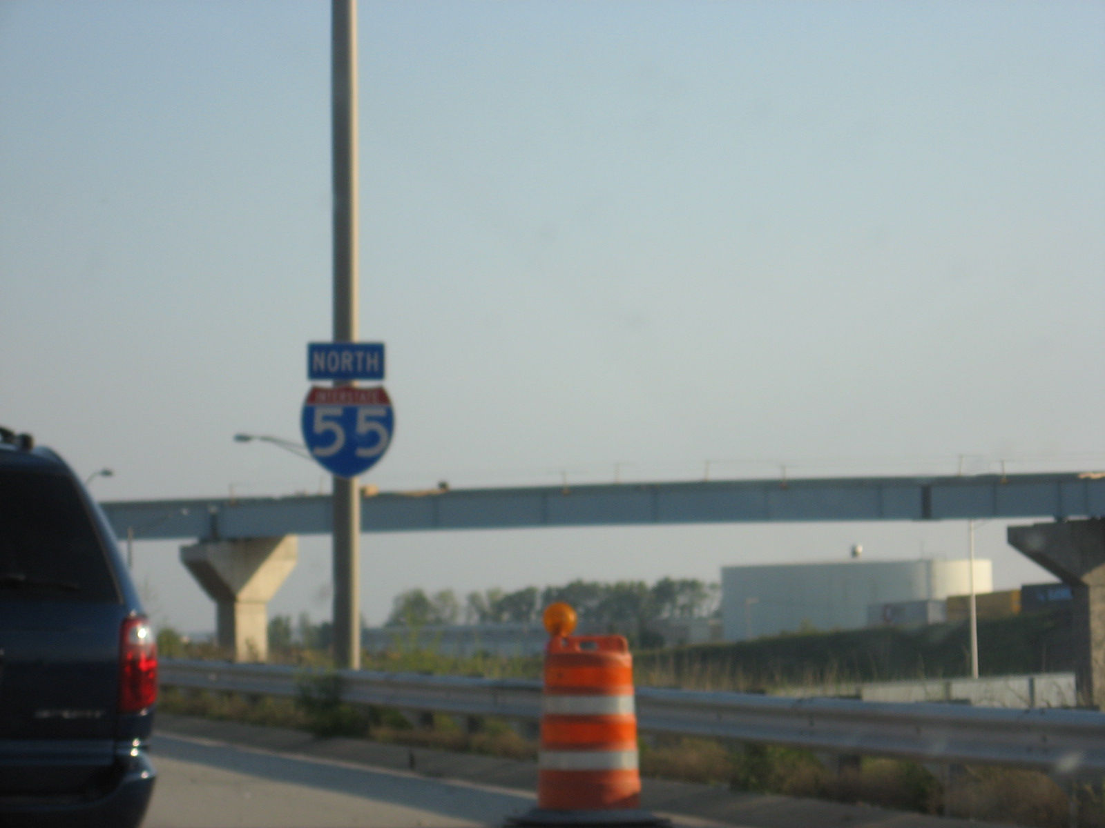 I
hate when the road authorities put reassurance shields on roads that don't
deserve them. This is not I-55 NB, it is still on I-355 SB, albeit on
the ramp.
I
hate when the road authorities put reassurance shields on roads that don't
deserve them. This is not I-55 NB, it is still on I-355 SB, albeit on
the ramp. This
shield is faded and green-looking. But it used to be brown,
designating an historic route. That route would be US 66. This
pic is on I-55 NB just north of I-355.
This
shield is faded and green-looking. But it used to be brown,
designating an historic route. That route would be US 66. This
pic is on I-55 NB just north of I-355.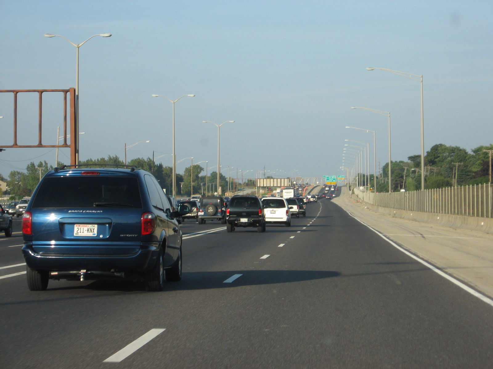 This
is what I-55 NB looks like.
This
is what I-55 NB looks like.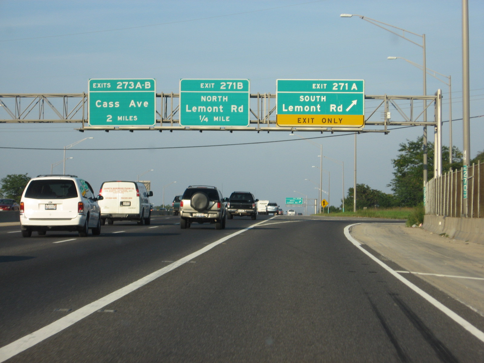 I-55
NB (Stevenson Expy) at Lemont Road.
I-55
NB (Stevenson Expy) at Lemont Road.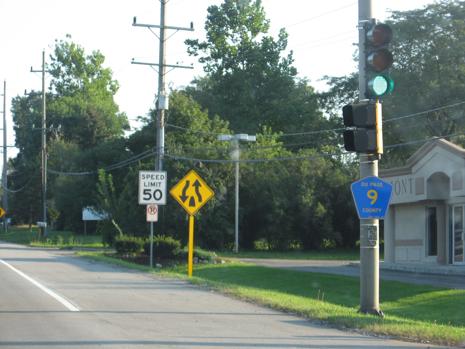 Lemont
Road is DuPage CR 9. If you look super super close at the lower right
corner of the blue pentagon shield, you'll see that DuPage DOT installed it
in 2004.
Lemont
Road is DuPage CR 9. If you look super super close at the lower right
corner of the blue pentagon shield, you'll see that DuPage DOT installed it
in 2004.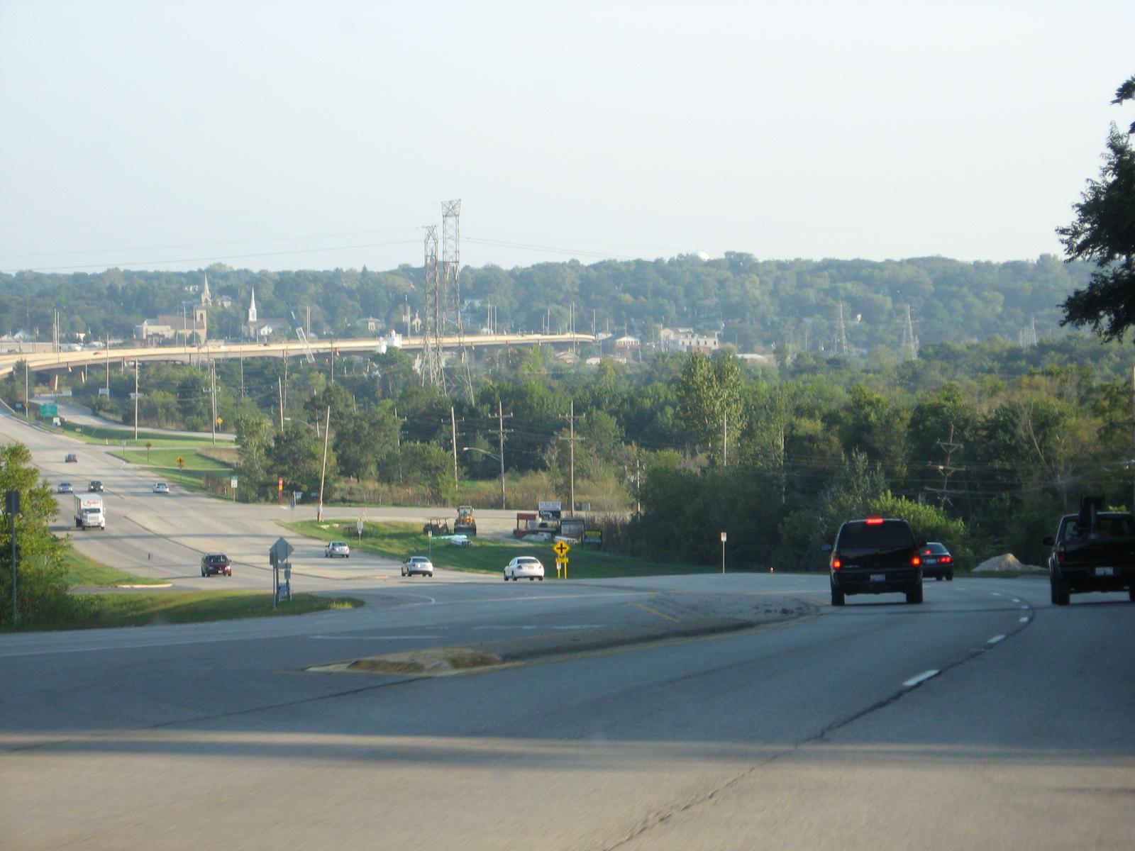 The
view of Lemont Road as it crosses the Des Plaines River.
The
view of Lemont Road as it crosses the Des Plaines River. End
DuPage CR 9. Welcome to Will County!
End
DuPage CR 9. Welcome to Will County! This
seems like a pretty makeshift BGS. But I guess it is just for Lemont
Road and not an interstate.
This
seems like a pretty makeshift BGS. But I guess it is just for Lemont
Road and not an interstate.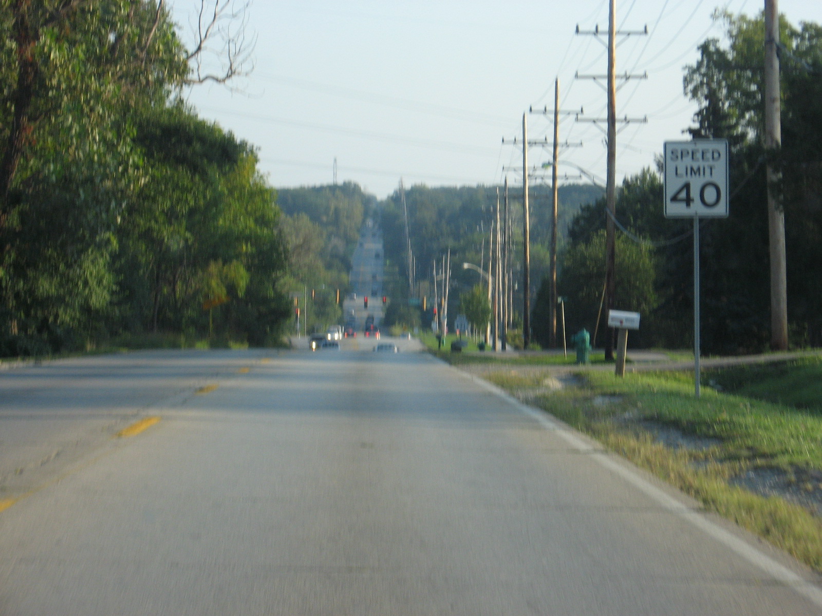 The
name for Lemont Road in the town of Lemont is State Street.
The
name for Lemont Road in the town of Lemont is State Street. And
here it crosses IL 171, Archer Avenue. Archer Ave. heads northeast all
the way into downtown Chicago.
And
here it crosses IL 171, Archer Avenue. Archer Ave. heads northeast all
the way into downtown Chicago.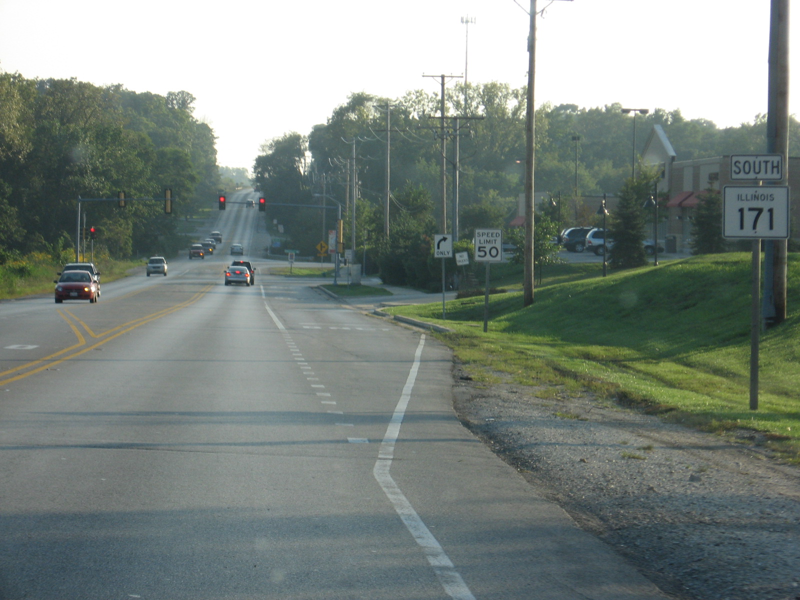 But
we're heading in the opposite direction, toward Joliet.
But
we're heading in the opposite direction, toward Joliet.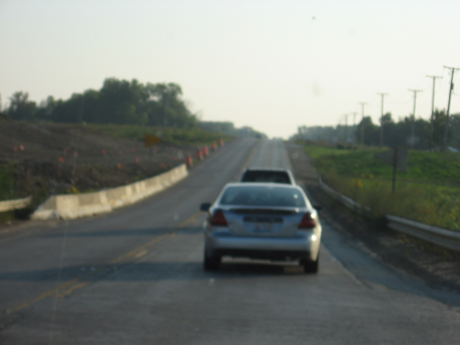 This
is where I-355 will soon cross over Archer Ave.
This
is where I-355 will soon cross over Archer Ave. Just
an IL 171 scene.
Just
an IL 171 scene. Now
we're in Lockport, just north of Joliet, at IL 7.
Now
we're in Lockport, just north of Joliet, at IL 7.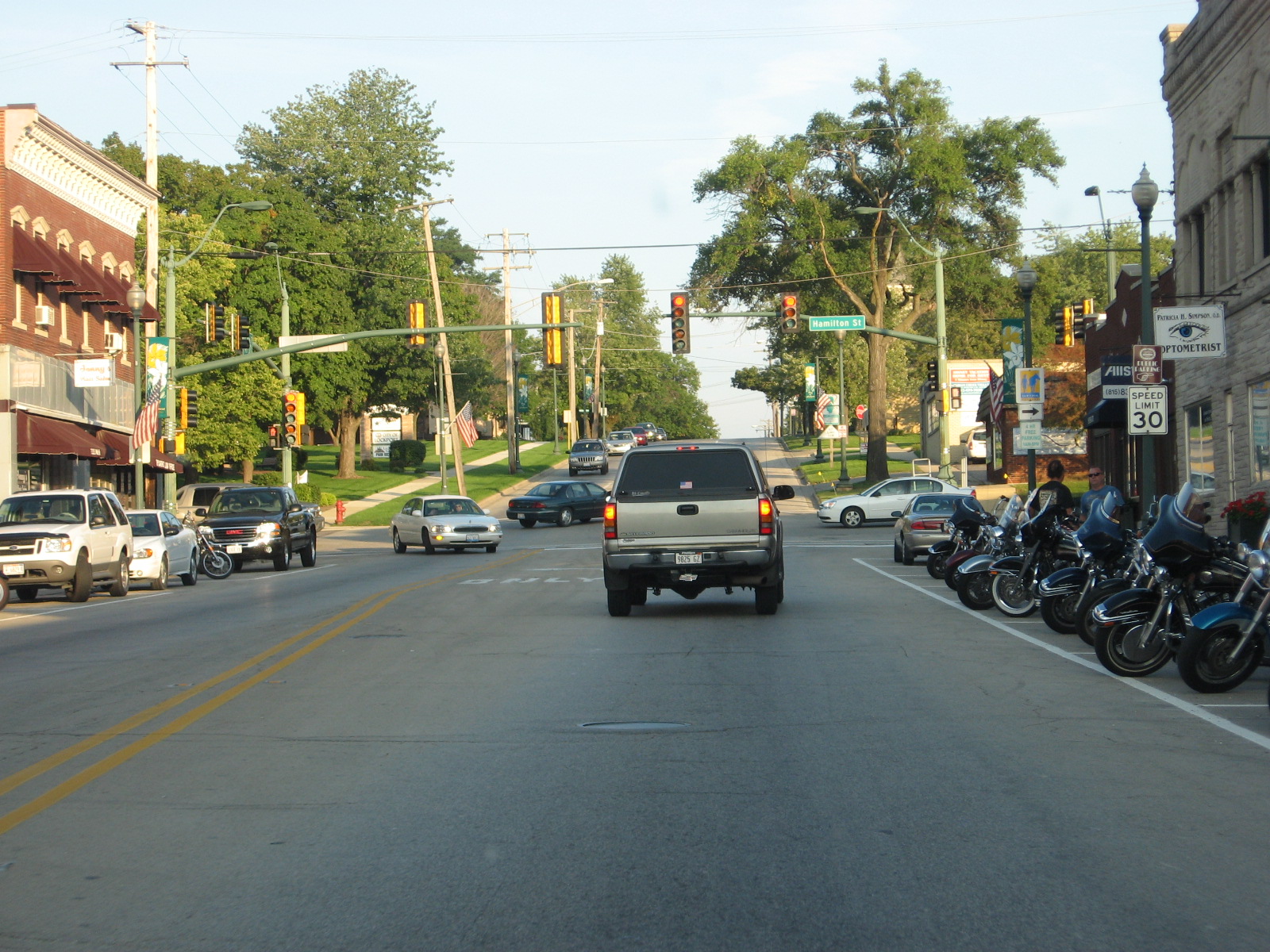 IL
7 EB in downtown Lockport.
IL
7 EB in downtown Lockport.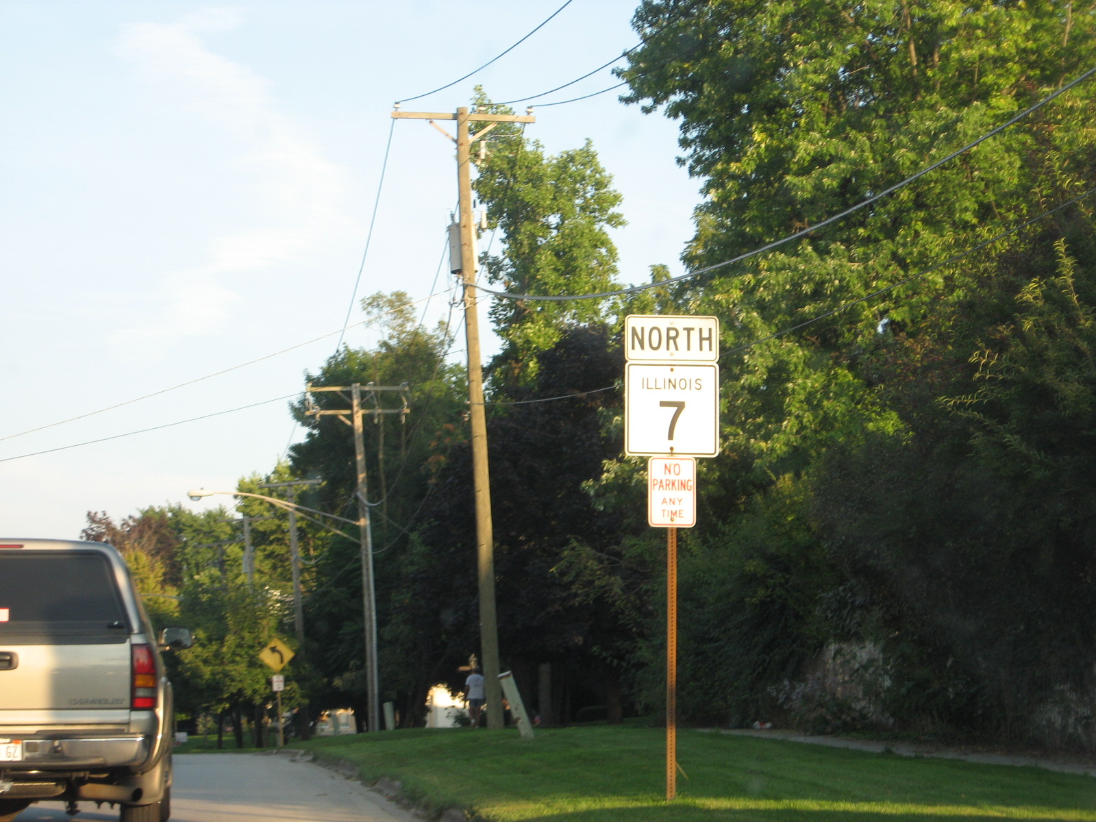 Okay,
so it says North, but IL 7 generally goes SW to NE and in these parts it is
due E-W.
Okay,
so it says North, but IL 7 generally goes SW to NE and in these parts it is
due E-W.