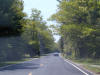
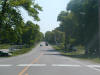
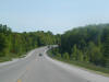
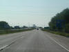
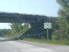
 On
the road to Point Beach State Forest. On
the road to Point Beach State Forest. |
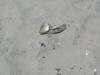 Yummy.
I've always wanted to have rotting fish heads at my beach. Yummy.
I've always wanted to have rotting fish heads at my beach. |
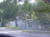
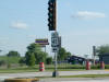
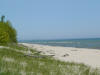 The
beach. The
beach. |
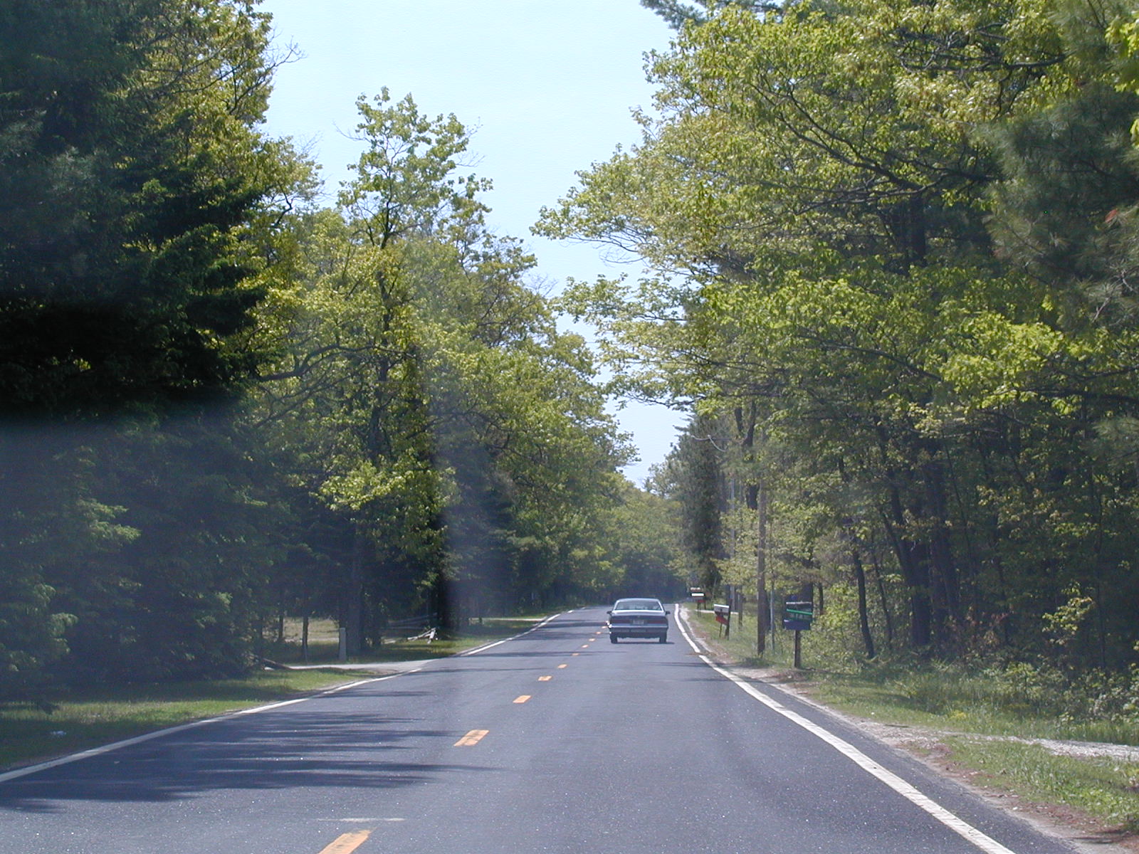
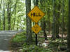 Hill.
Steep Hill. Hill.
Steep Hill. |
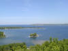
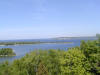 From
the lookout tower in Potawatomie State Park in Door County. This is
looking out at where Sturgeon Bay meets Green Bay. From
the lookout tower in Potawatomie State Park in Door County. This is
looking out at where Sturgeon Bay meets Green Bay. |
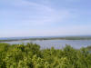 From
the lookout tower. From
the lookout tower. |
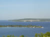 Lots
of water here. Lots
of water here. |
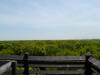 The
opposite side of the lookout tower. The
opposite side of the lookout tower. |
 One
last look at the bays. One
last look at the bays. |
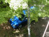 I
spy something blue... I
spy something blue... |
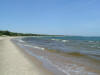 I
think this may be the beach at Whitefish Dunes SP. I
think this may be the beach at Whitefish Dunes SP. |
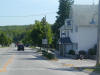
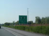
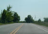 This
is either WI 57 NB or WI 47 SB near Ephraim. There are only ten miles
or so until the northern end of Door County (not counting Washington
Island). This
is either WI 57 NB or WI 47 SB near Ephraim. There are only ten miles
or so until the northern end of Door County (not counting Washington
Island). |
 This
is WI 42 SB now. This
is WI 42 SB now. |
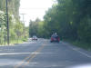 Bear
right slightly to stay on the road. Bear
right slightly to stay on the road. |
 Still
going. Still
going. |
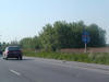
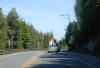 Trucks
barrelling around the curves on WI 42 SB. Trucks
barrelling around the curves on WI 42 SB. |
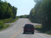
 A
smooth curve. A
smooth curve. |
 WI
42 without a directional banner. WI
42 without a directional banner. |
 WI
42 and CR G north of Sturgeon Bay. WI
42 and CR G north of Sturgeon Bay. |
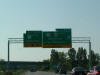
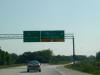 WI
57 SB is a very boring ride, so we skip ahead to where it meets I-43.
The control cities are Hwy 41-141 for northbound, as it ends at those US
Routes a few miles north of here. WI
57 SB is a very boring ride, so we skip ahead to where it meets I-43.
The control cities are Hwy 41-141 for northbound, as it ends at those US
Routes a few miles north of here. |
 I-43
NB in Green Bay. I-43
NB in Green Bay. |
 Near
the northern terminus of I-43. Near
the northern terminus of I-43. |
 This
is it: End I-43! This
is it: End I-43! |
 We're
going on US 41 South. We're
going on US 41 South. |
 South
US 41 and US 141. This is the same US 41 as Tamiami Trail in Miami,
FL. Cool! South
US 41 and US 141. This is the same US 41 as Tamiami Trail in Miami,
FL. Cool! |
 South
US 41 shield. US 41 is an interstate-compatible freeway from north of
Green Bay down to Milwaukee. There have been suggestions of I-41 here,
coinciding with US 41, but its all conjecture. South
US 41 shield. US 41 is an interstate-compatible freeway from north of
Green Bay down to Milwaukee. There have been suggestions of I-41 here,
coinciding with US 41, but its all conjecture. |
 On
the road to Point Beach State Forest.
On
the road to Point Beach State Forest.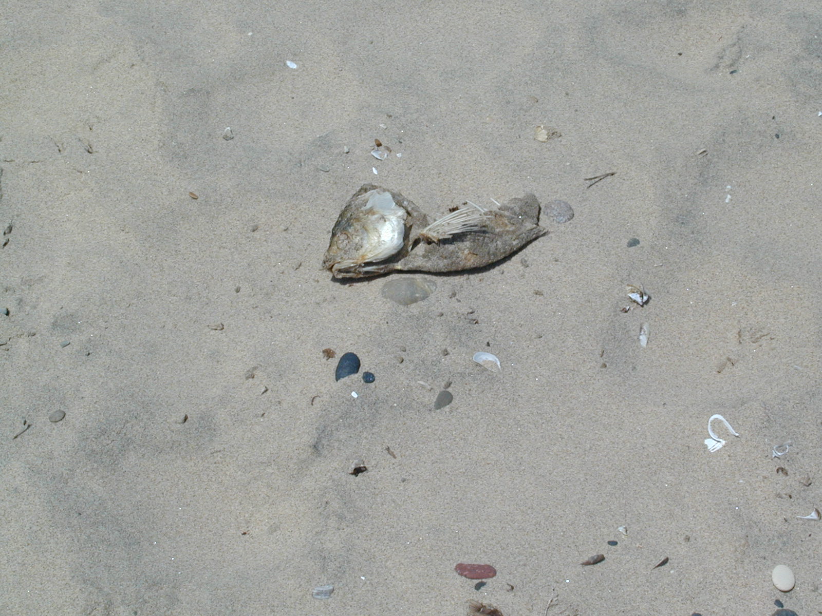 Yummy.
I've always wanted to have rotting fish heads at my beach.
Yummy.
I've always wanted to have rotting fish heads at my beach.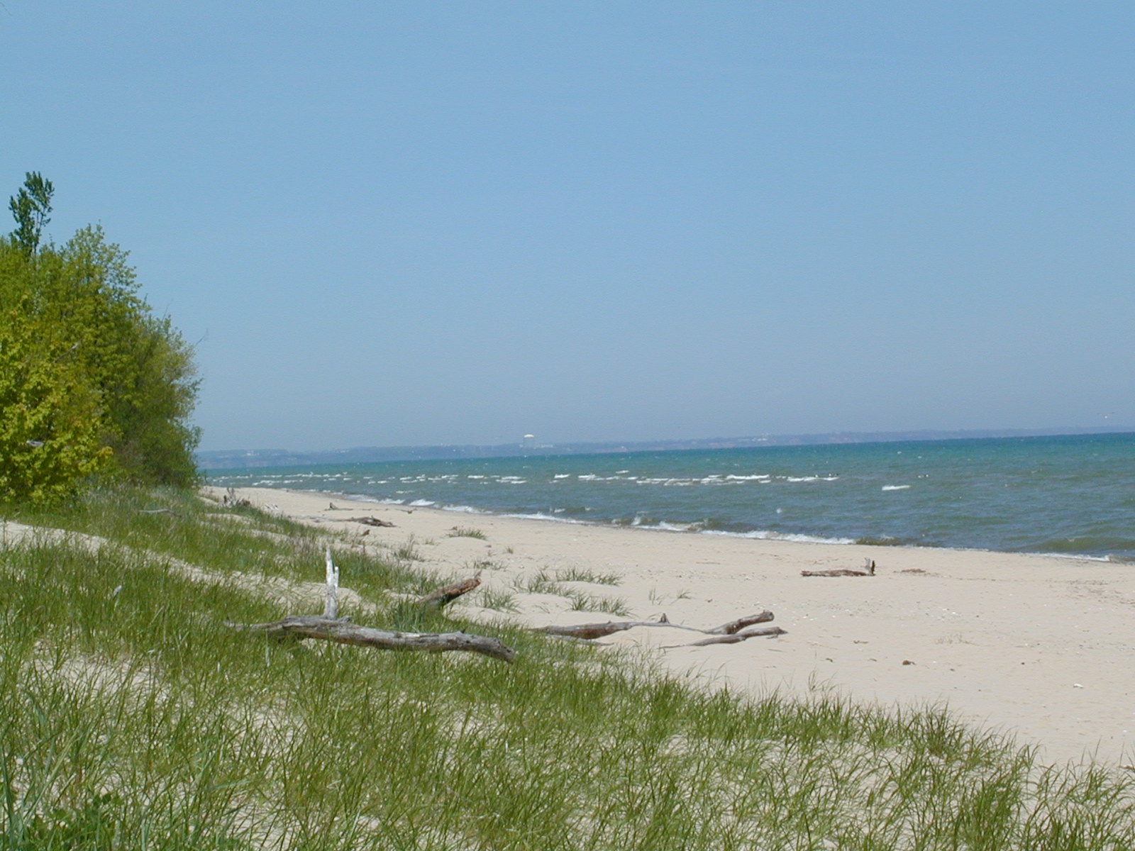 The
beach.
The
beach. Hill.
Steep Hill.
Hill.
Steep Hill. 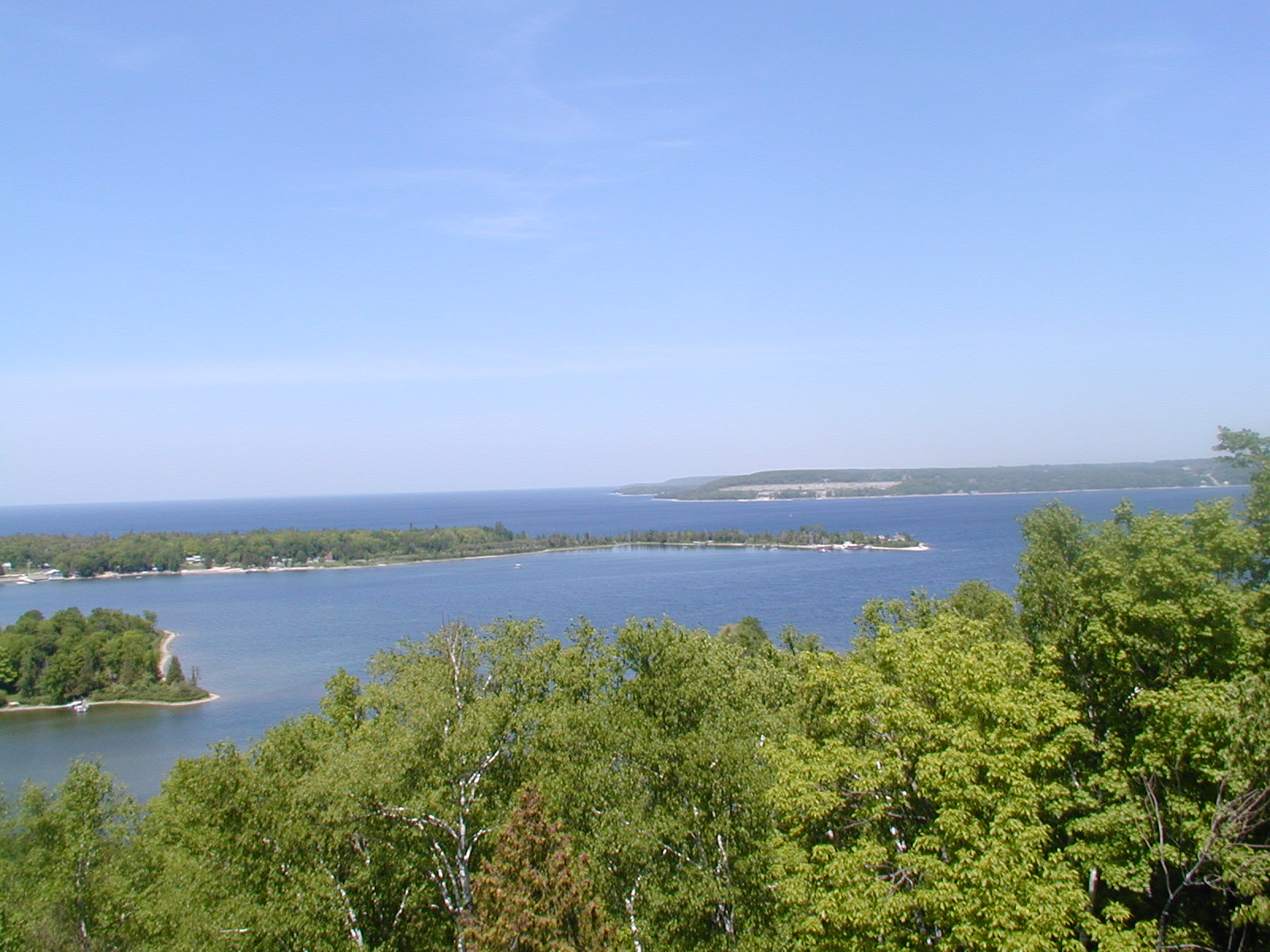 From
the lookout tower in Potawatomie State Park in Door County. This is
looking out at where Sturgeon Bay meets Green Bay.
From
the lookout tower in Potawatomie State Park in Door County. This is
looking out at where Sturgeon Bay meets Green Bay.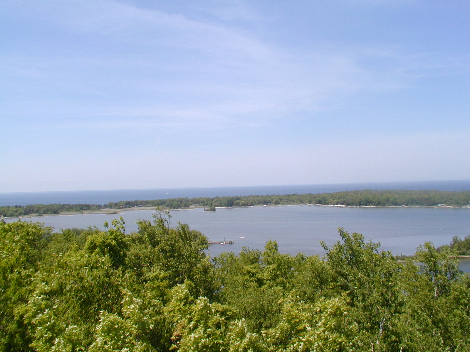 From
the lookout tower.
From
the lookout tower.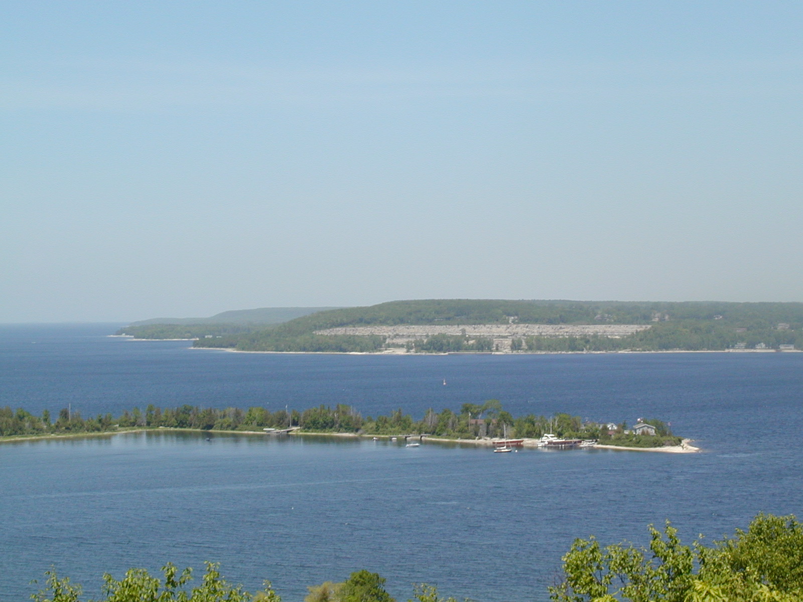 Lots
of water here.
Lots
of water here.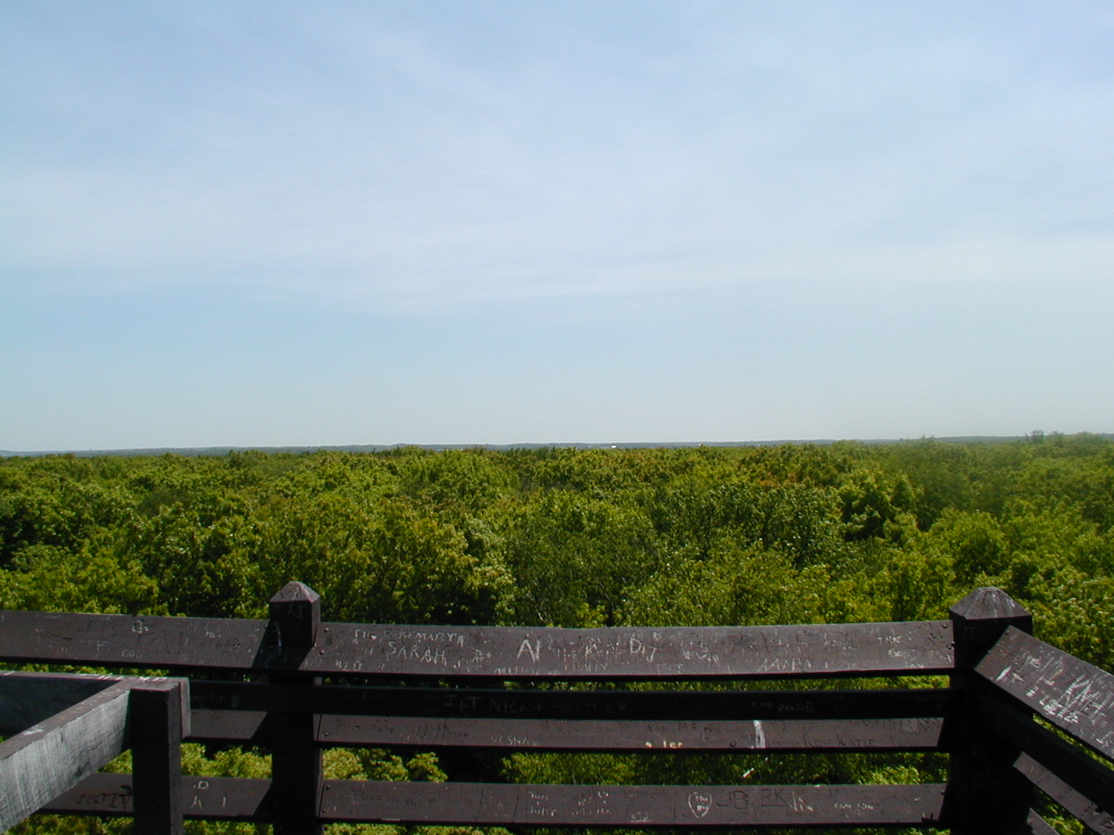 The
opposite side of the lookout tower.
The
opposite side of the lookout tower. One
last look at the bays.
One
last look at the bays.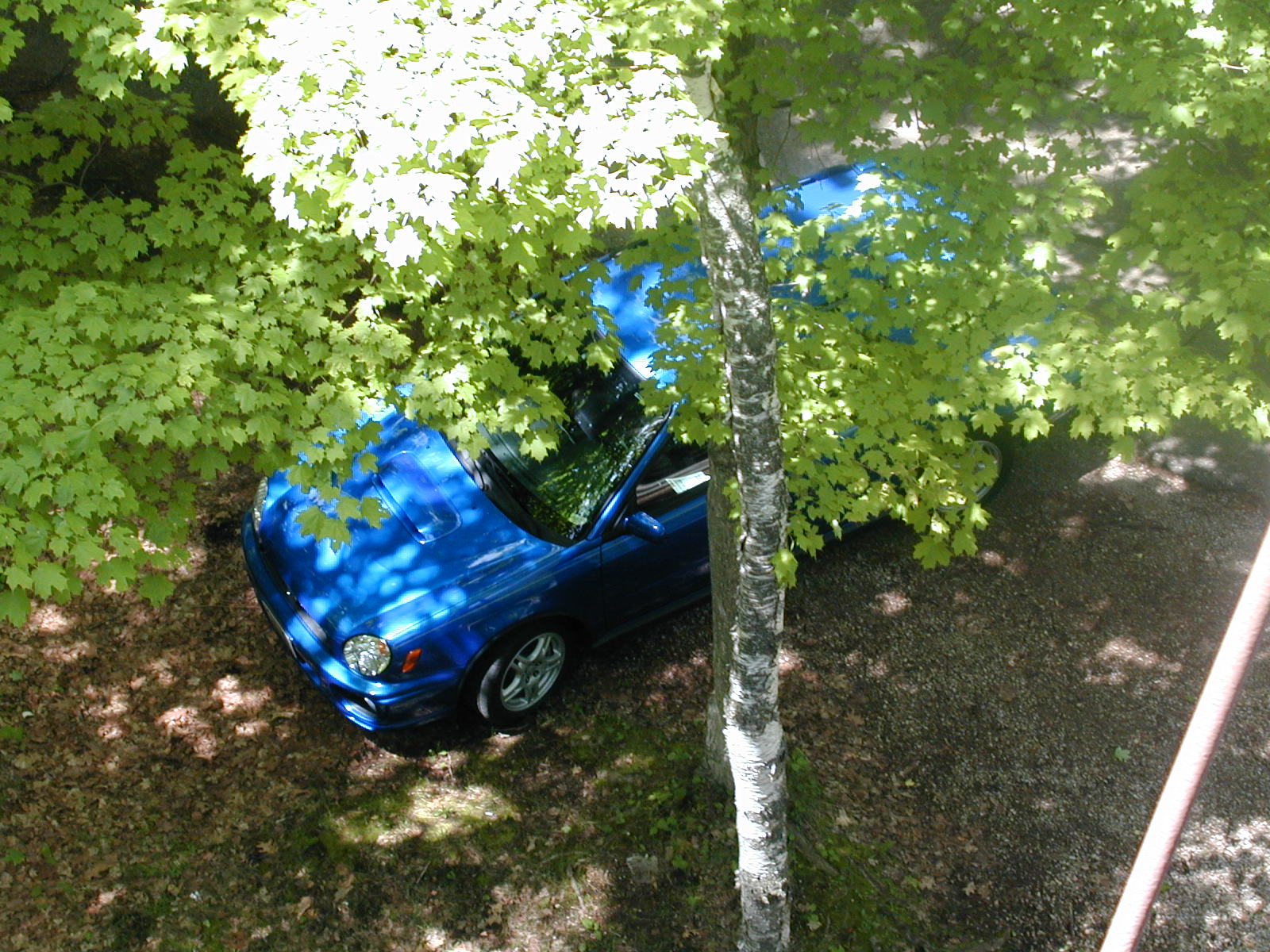 I
spy something blue...
I
spy something blue...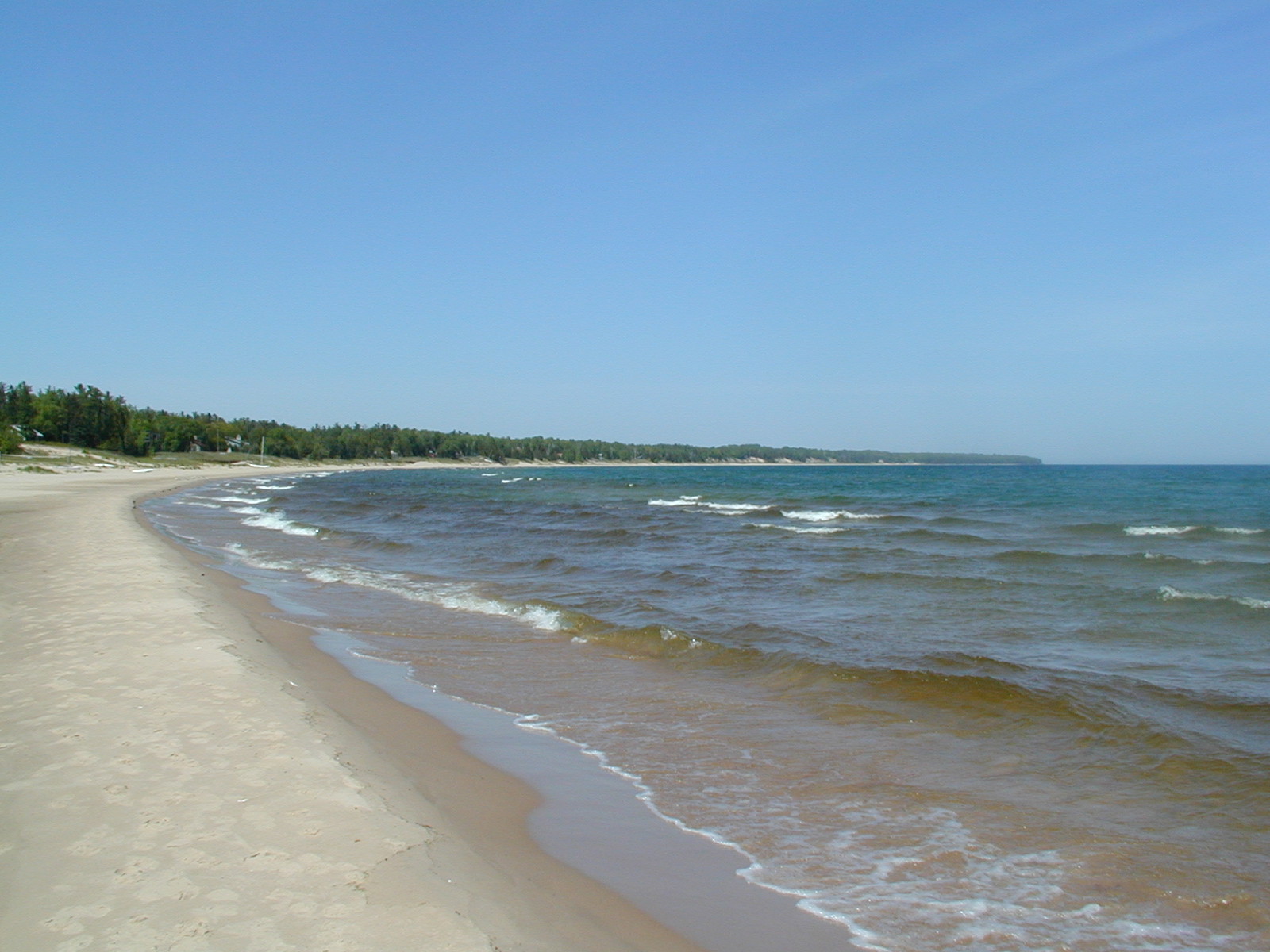 I
think this may be the beach at Whitefish Dunes SP.
I
think this may be the beach at Whitefish Dunes SP.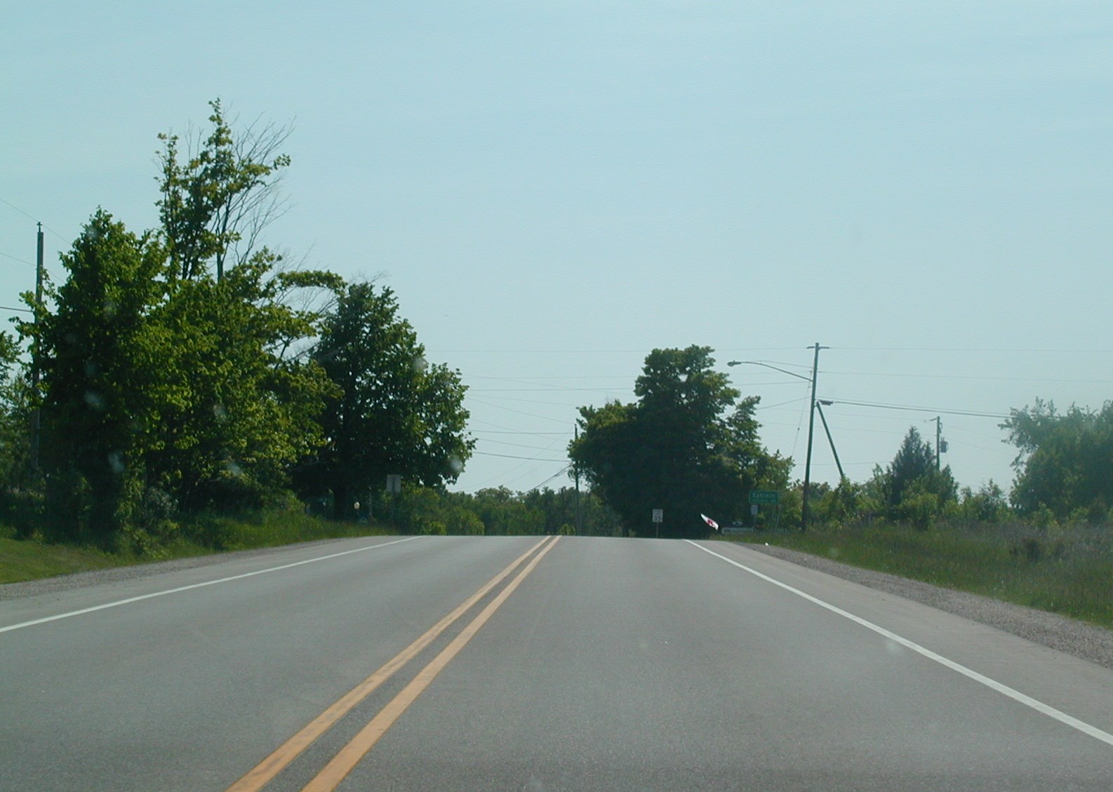 This
is either WI 57 NB or WI 47 SB near Ephraim. There are only ten miles
or so until the northern end of Door County (not counting Washington
Island).
This
is either WI 57 NB or WI 47 SB near Ephraim. There are only ten miles
or so until the northern end of Door County (not counting Washington
Island).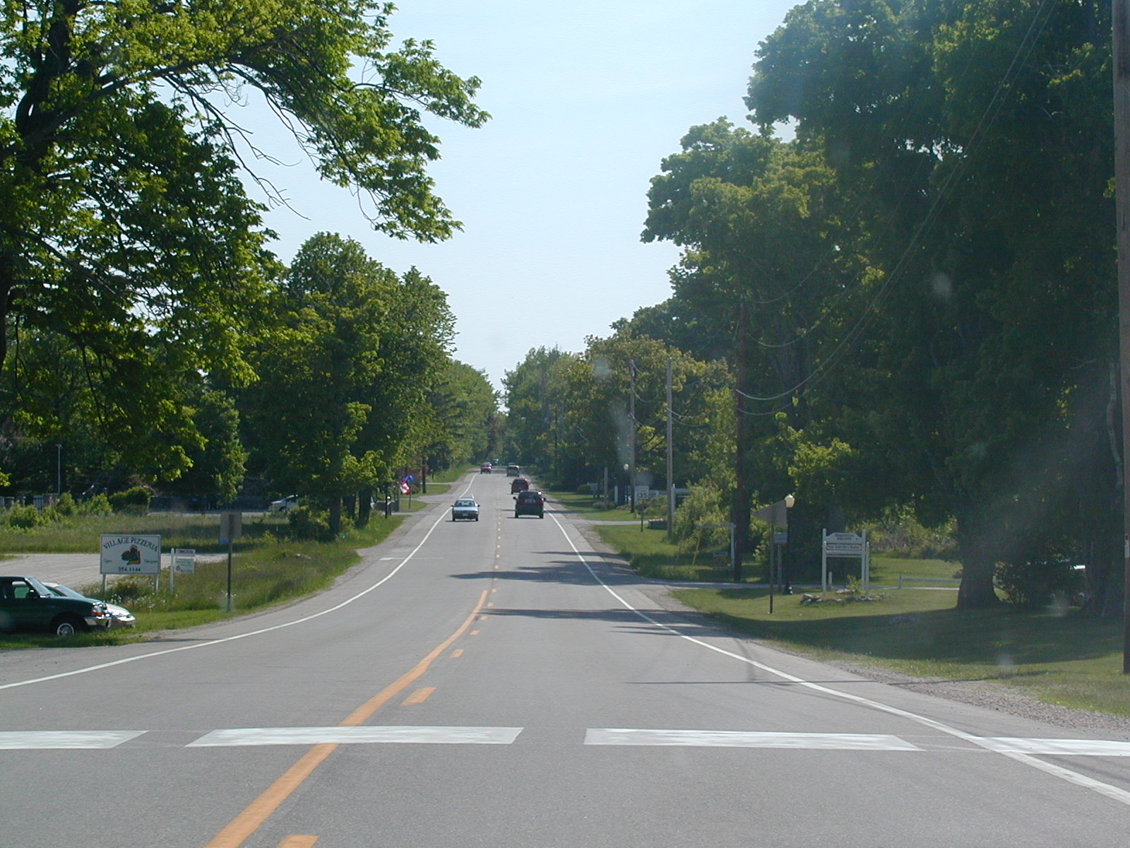 This
is WI 42 SB now.
This
is WI 42 SB now. Bear
right slightly to stay on the road.
Bear
right slightly to stay on the road. Still
going.
Still
going. Trucks
barrelling around the curves on WI 42 SB.
Trucks
barrelling around the curves on WI 42 SB.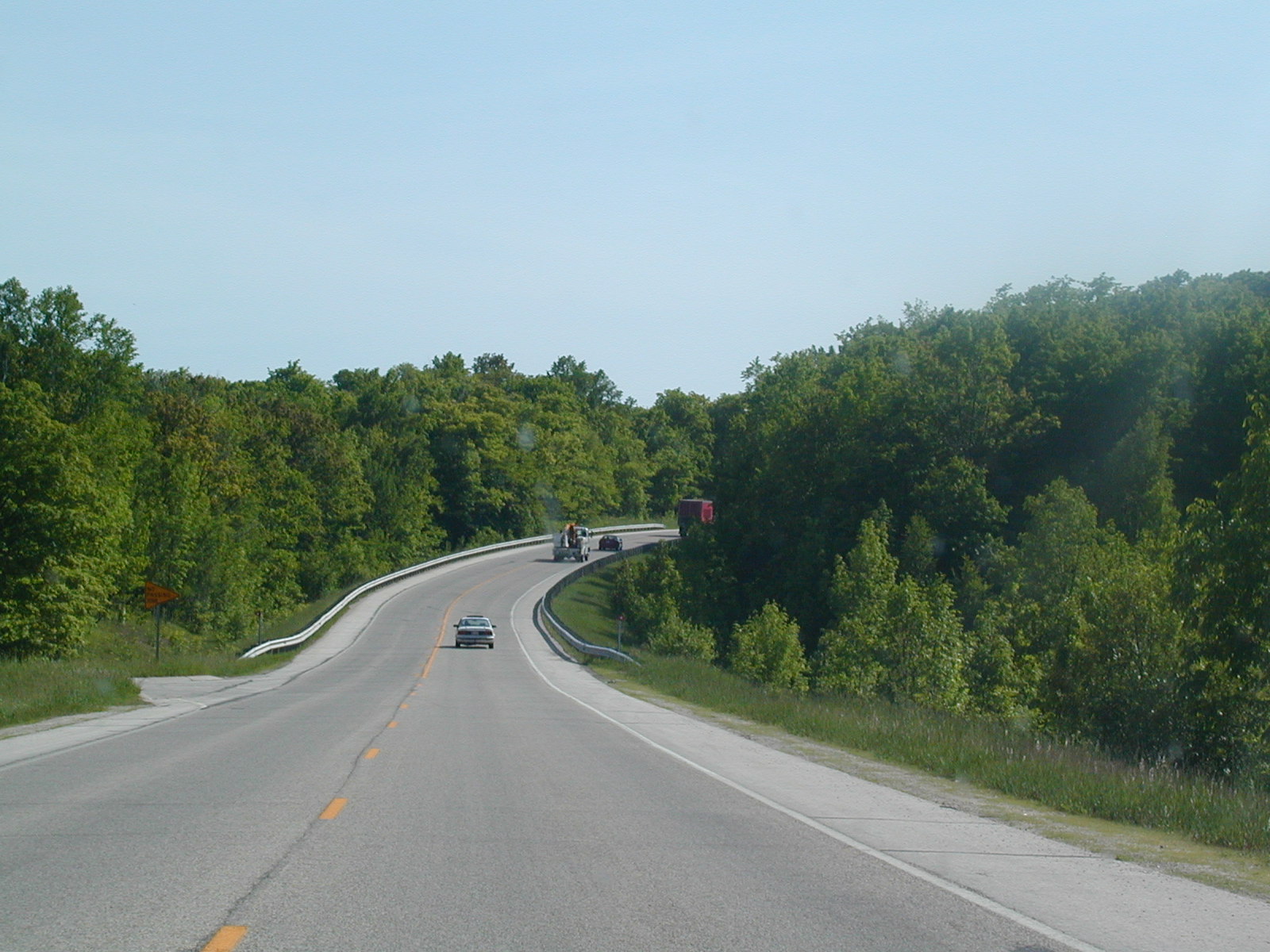 A
smooth curve.
A
smooth curve. WI
42 without a directional banner.
WI
42 without a directional banner. WI
42 and CR G north of Sturgeon Bay.
WI
42 and CR G north of Sturgeon Bay.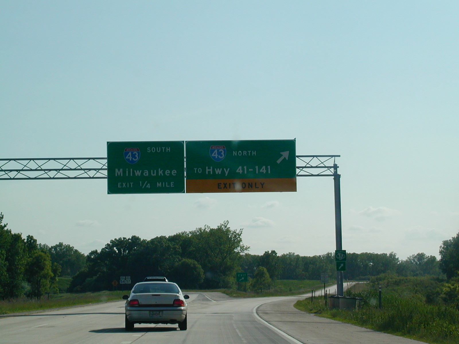 WI
57 SB is a very boring ride, so we skip ahead to where it meets I-43.
The control cities are Hwy 41-141 for northbound, as it ends at those US
Routes a few miles north of here.
WI
57 SB is a very boring ride, so we skip ahead to where it meets I-43.
The control cities are Hwy 41-141 for northbound, as it ends at those US
Routes a few miles north of here. I-43
NB in Green Bay.
I-43
NB in Green Bay.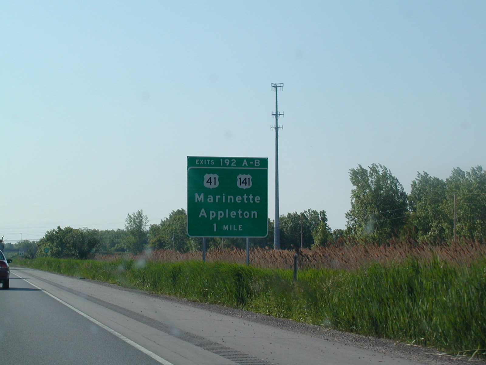 Near
the northern terminus of I-43.
Near
the northern terminus of I-43.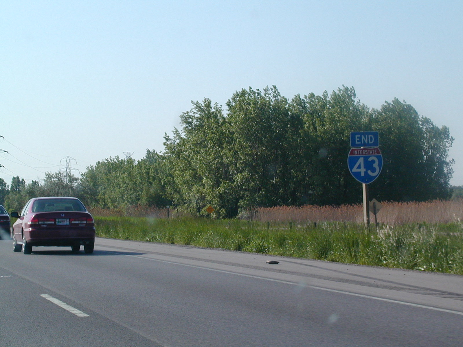 This
is it: End I-43!
This
is it: End I-43!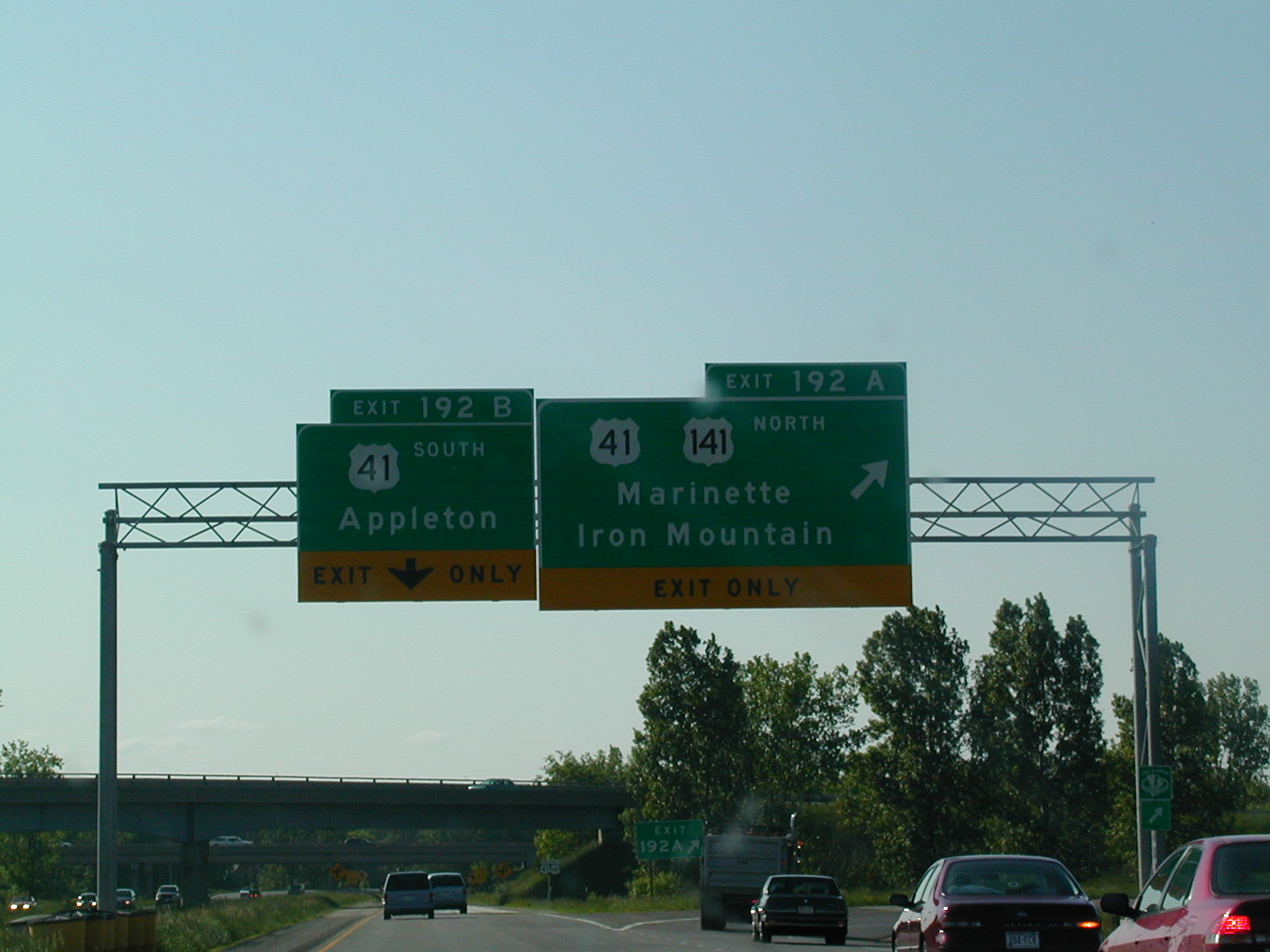 We're
going on US 41 South.
We're
going on US 41 South.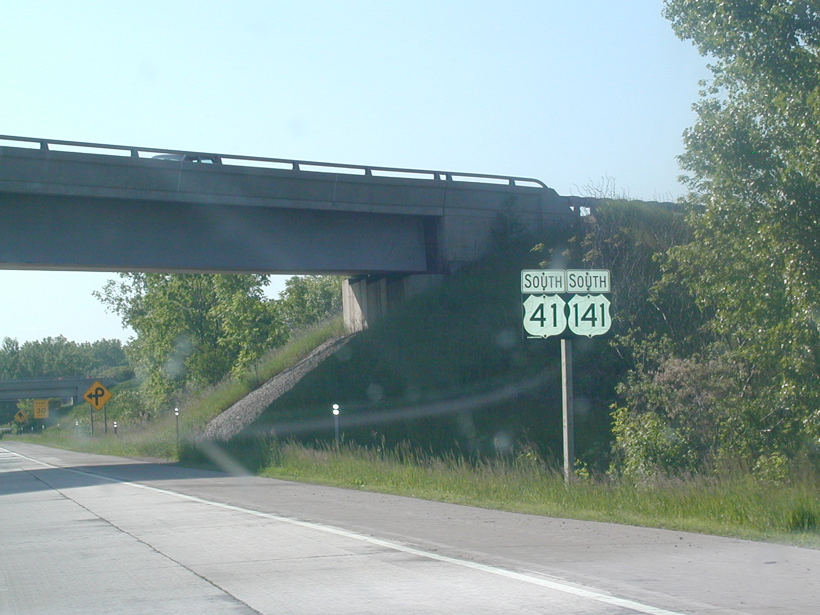 South
US 41 and US 141. This is the same US 41 as Tamiami Trail in Miami,
FL. Cool!
South
US 41 and US 141. This is the same US 41 as Tamiami Trail in Miami,
FL. Cool! South
US 41 shield. US 41 is an interstate-compatible freeway from north of
Green Bay down to Milwaukee. There have been suggestions of I-41 here,
coinciding with US 41, but its all conjecture.
South
US 41 shield. US 41 is an interstate-compatible freeway from north of
Green Bay down to Milwaukee. There have been suggestions of I-41 here,
coinciding with US 41, but its all conjecture.