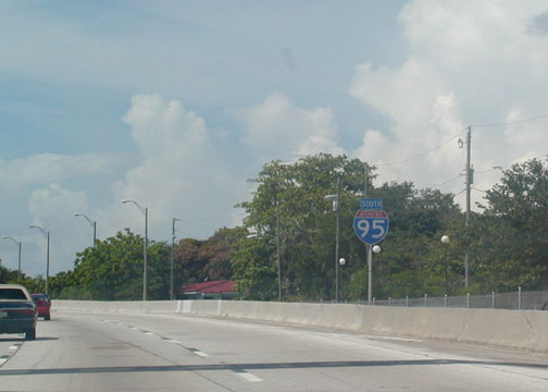
 End
I-95. This sign is actually on US 1 just after the actual interchange.
US 1 is 6-lanes divided with a green, treey median for the next several
miles. End
I-95. This sign is actually on US 1 just after the actual interchange.
US 1 is 6-lanes divided with a green, treey median for the next several
miles. |
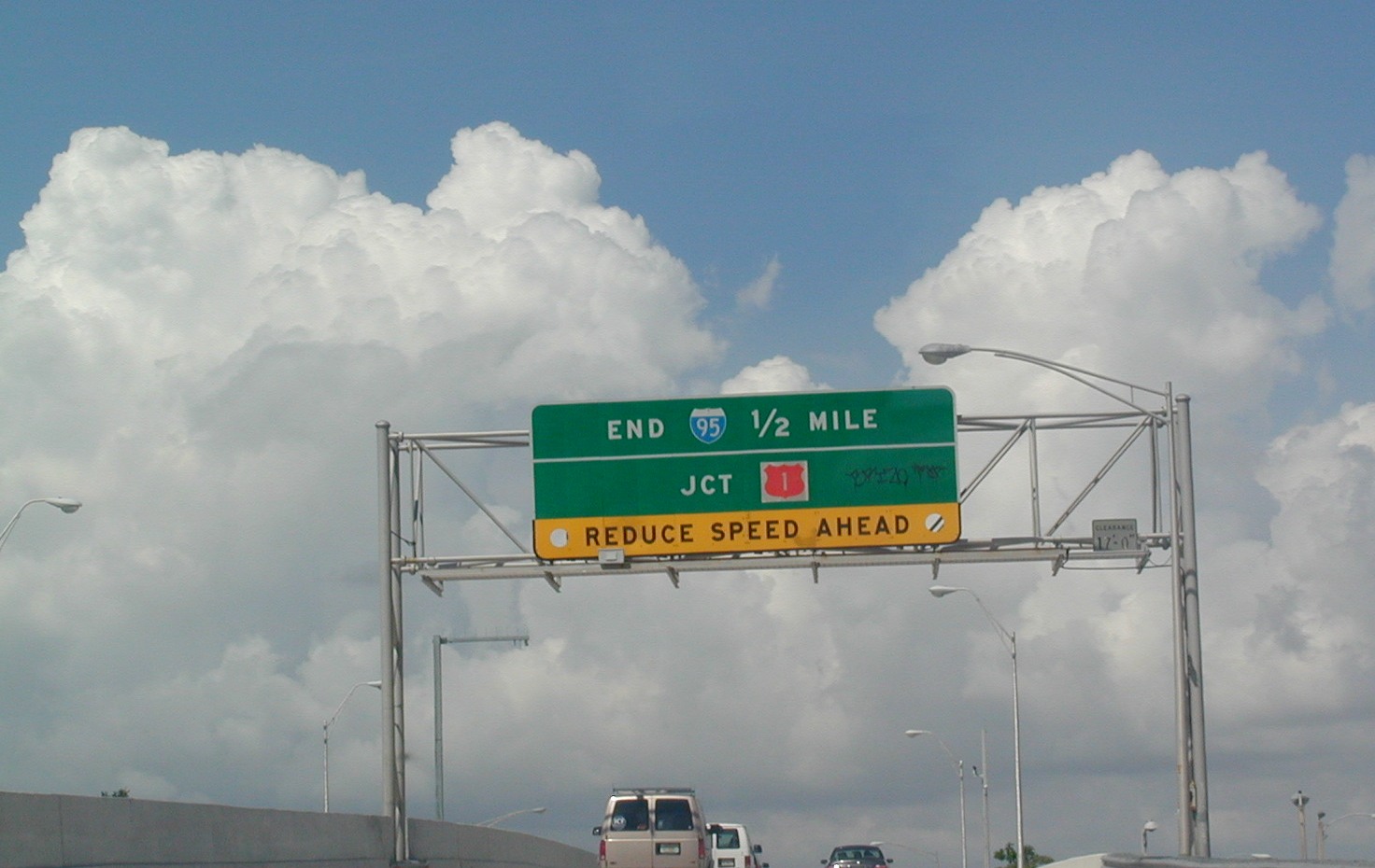
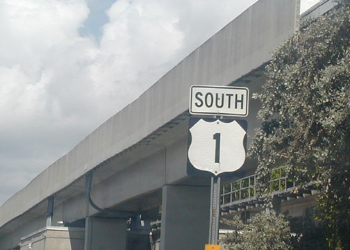
 As
mentioned earlier, US 1 takes over from here. The concrete structure
on the right is the elevated train service called the Metrorail. I
think it should be expaned so that it is easier to get downtown by rail than
car from the north and the south, but so far that has not happened. It
does go from UM to the Orange Bowl, so that's a plus! As
mentioned earlier, US 1 takes over from here. The concrete structure
on the right is the elevated train service called the Metrorail. I
think it should be expaned so that it is easier to get downtown by rail than
car from the north and the south, but so far that has not happened. It
does go from UM to the Orange Bowl, so that's a plus! |
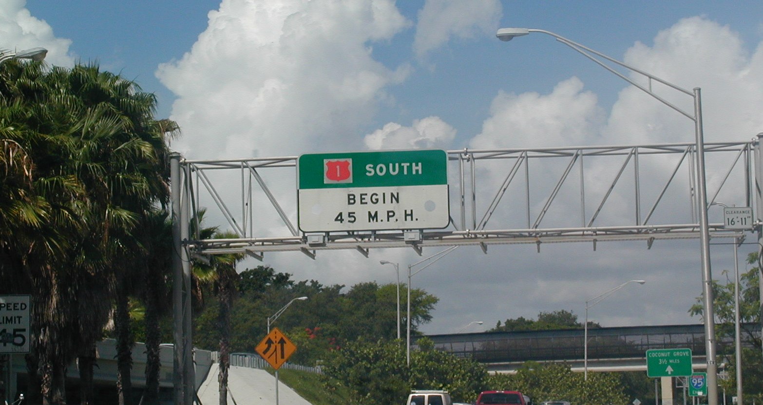
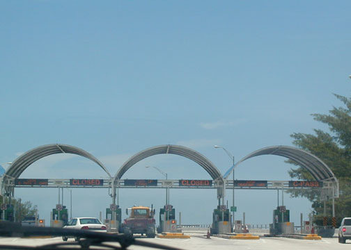
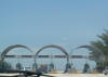 This
is FL 913, the Rickenbacker Causeway. This is a tolled causeway, and
it leads to Key Biscayne, a very pretty island with a beach and lighthouse,
not to mention some good restaurants. This
is FL 913, the Rickenbacker Causeway. This is a tolled causeway, and
it leads to Key Biscayne, a very pretty island with a beach and lighthouse,
not to mention some good restaurants. |
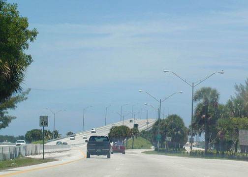
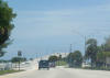 The
Rickenbacker Causeway as seen just after the toll booths. Speed Limit
45 throughout. The
Rickenbacker Causeway as seen just after the toll booths. Speed Limit
45 throughout. |
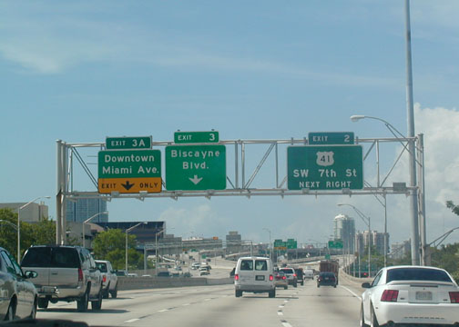
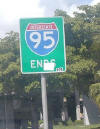
 I-95
SB just before its end in Miami. US 41 is ahead (also known as
Lake Shore Drive in Chicago). I-95
SB just before its end in Miami. US 41 is ahead (also known as
Lake Shore Drive in Chicago). |
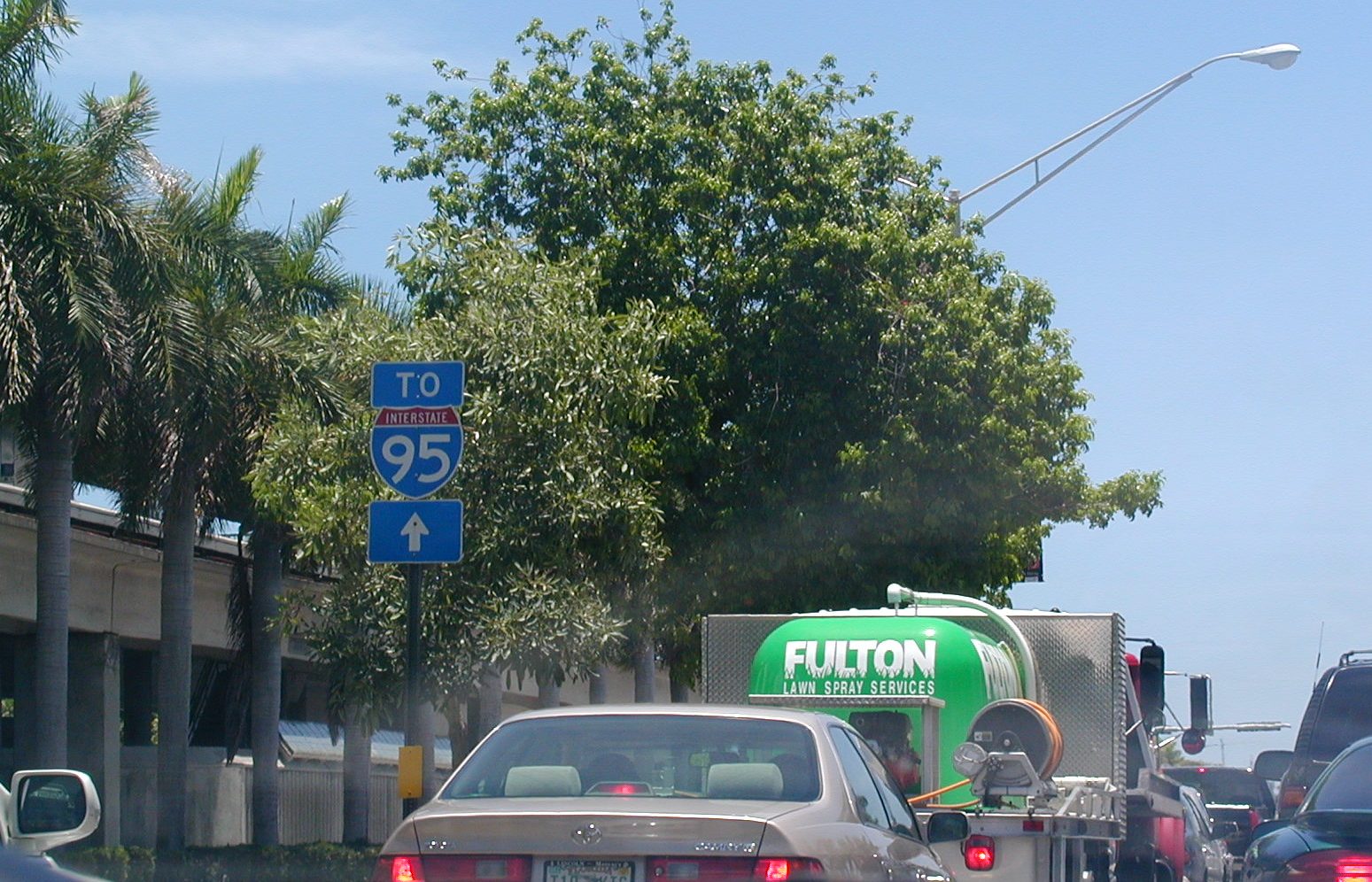
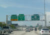
 Holy
nuggets!! Look at the congestion! A To I-95 shield on NB US 1 in
southern Miami. No such shield exists today, but there are still
little green signs warning you of the interchange about 1/2 before I-95
splits off US 1. Holy
nuggets!! Look at the congestion! A To I-95 shield on NB US 1 in
southern Miami. No such shield exists today, but there are still
little green signs warning you of the interchange about 1/2 before I-95
splits off US 1. |
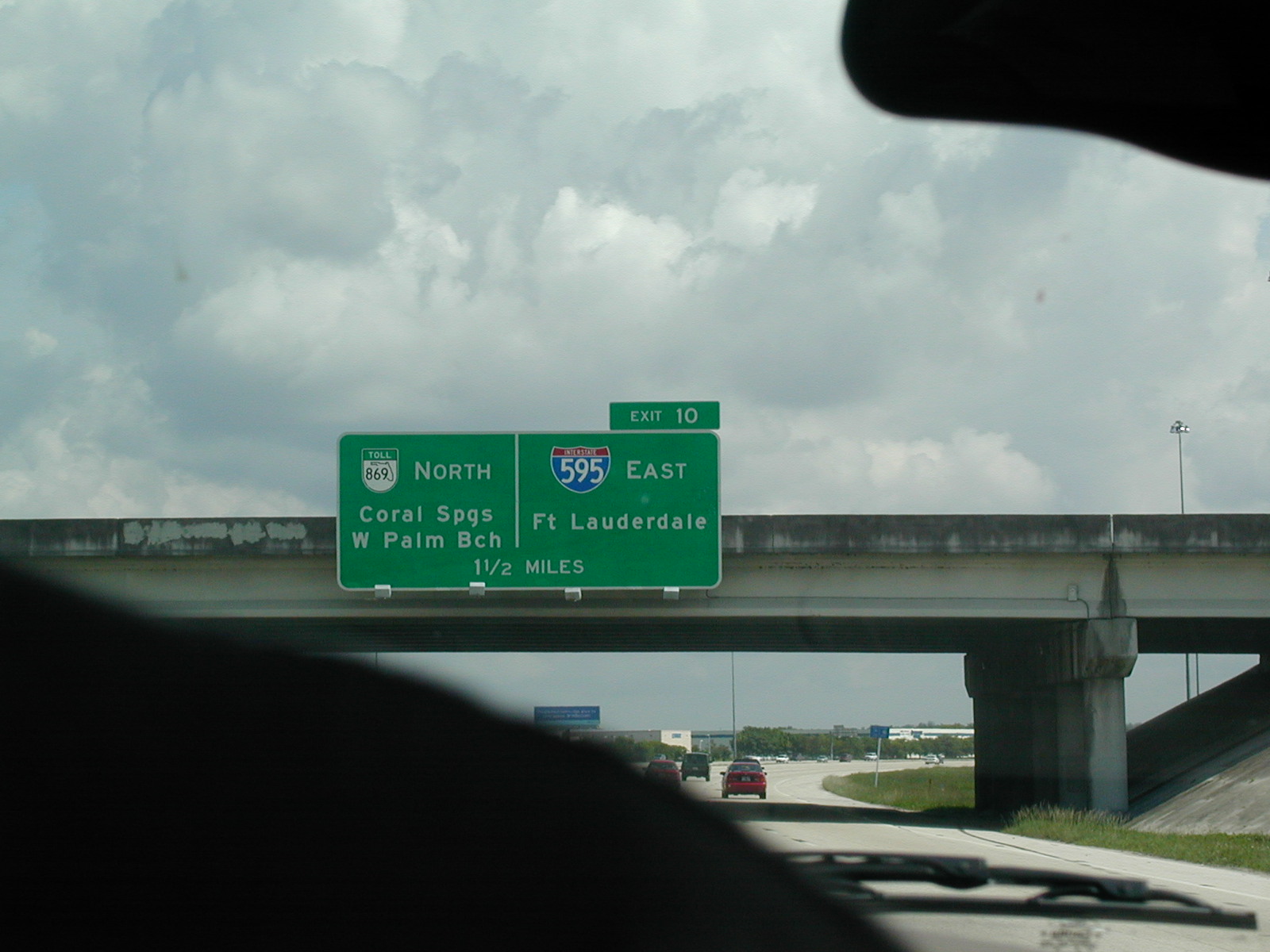
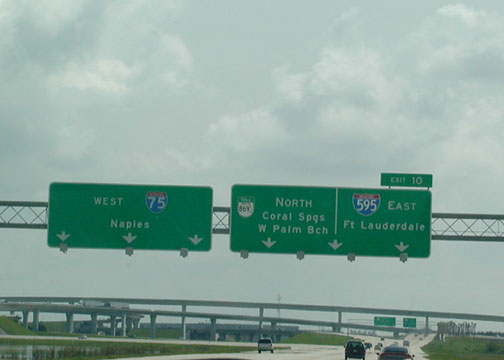
 I-595
WB (I think WB) as it approaches I-95 in Ft. Lauderdale. I was
eternally upset about the Speed Limit 55 sign to the right, but FDOT has
just recently pushed the speed up to 65 mph. Yay.
I-595
WB (I think WB) as it approaches I-95 in Ft. Lauderdale. I was
eternally upset about the Speed Limit 55 sign to the right, but FDOT has
just recently pushed the speed up to 65 mph. Yay.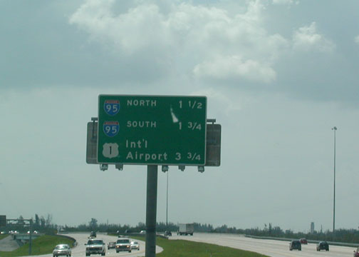 Near
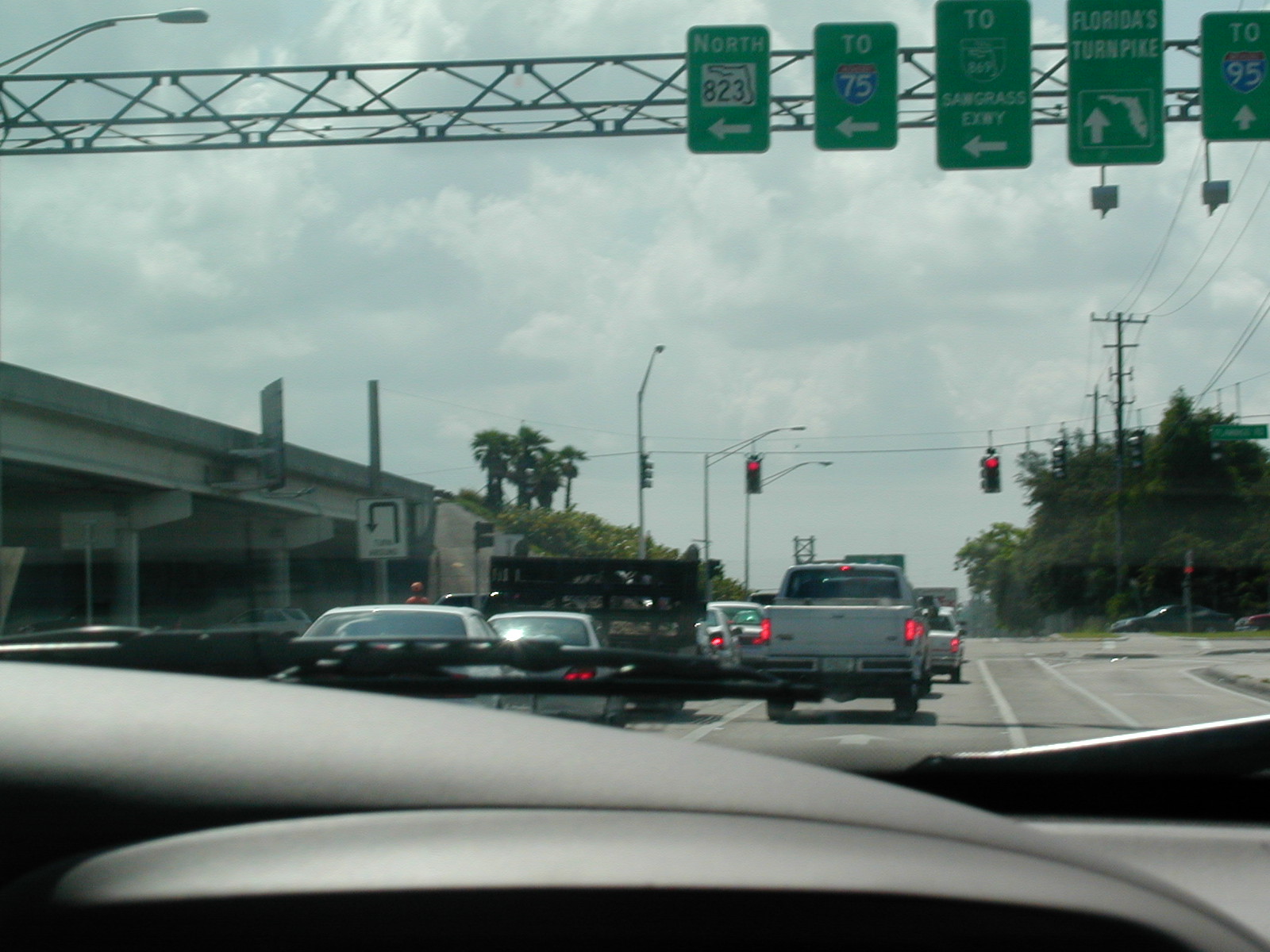
I-95 and Ft. Lauderdale-Hollywood Int'l Airport on I-595. The road is
nice and wide from I-95 in the east to I-75 in the west.
Near
I-95 and Ft. Lauderdale-Hollywood Int'l Airport on I-595. The road is
nice and wide from I-95 in the east to I-75 in the west. 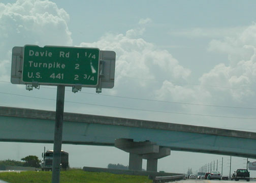 EB
I-595 nearing Davie Rd. in Davie.
EB
I-595 nearing Davie Rd. in Davie.  End
I-595 EB at US 1 and the International Airport. Port Everglades is
straight ahead, although I-595 doesn't continue.
End
I-595 EB at US 1 and the International Airport. Port Everglades is
straight ahead, although I-595 doesn't continue.