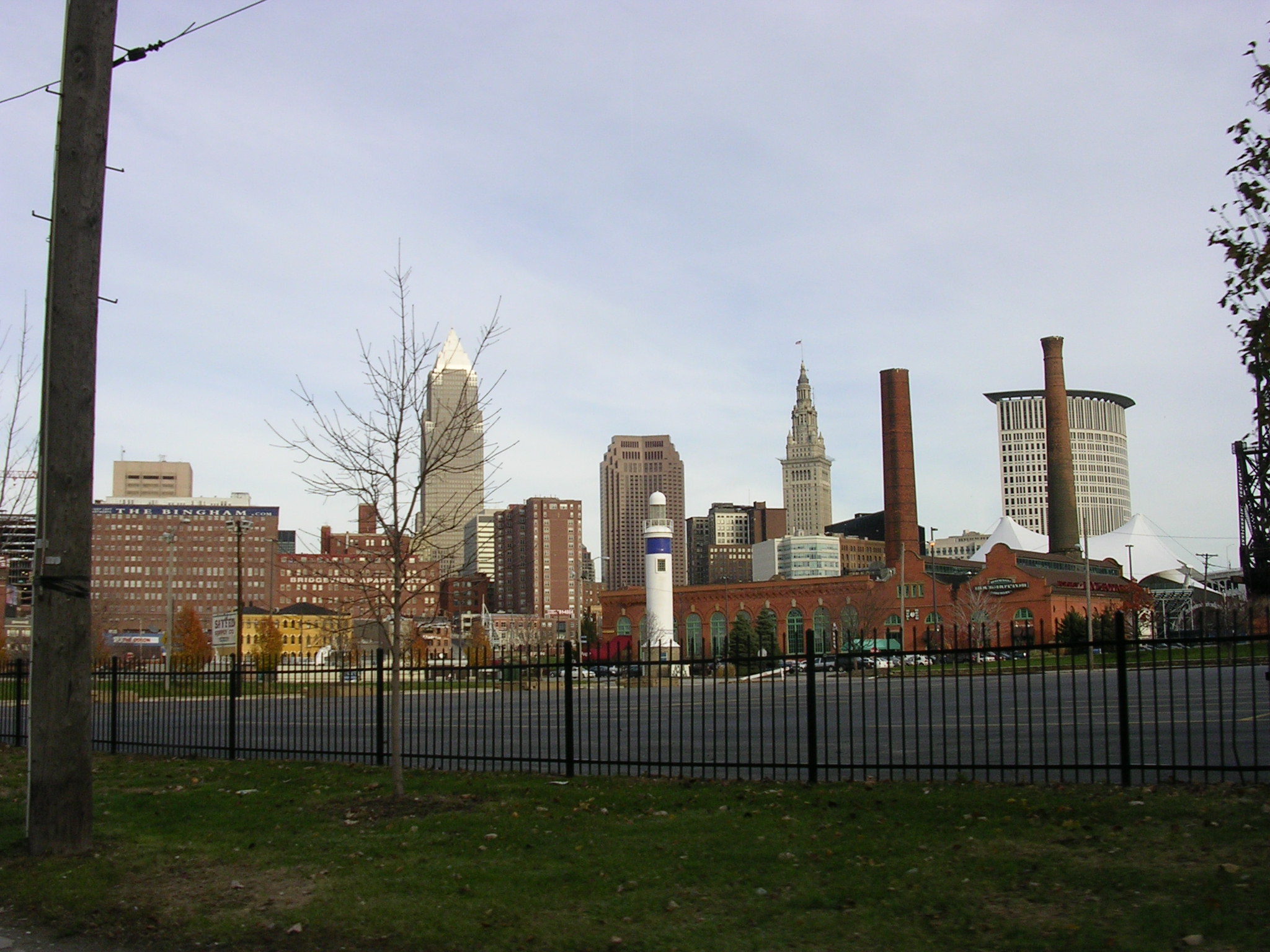
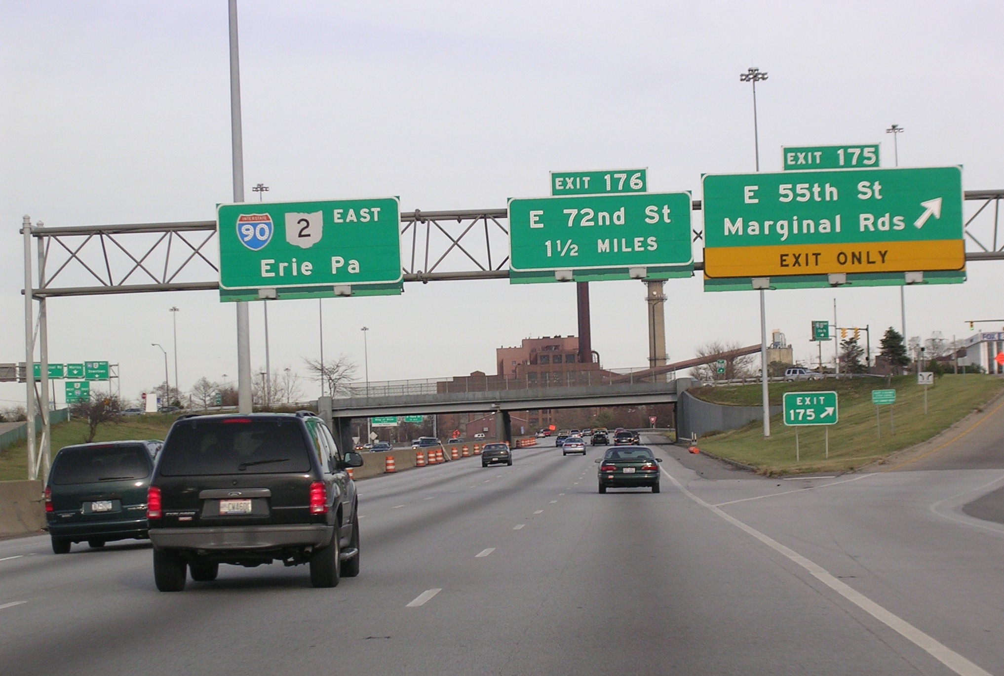
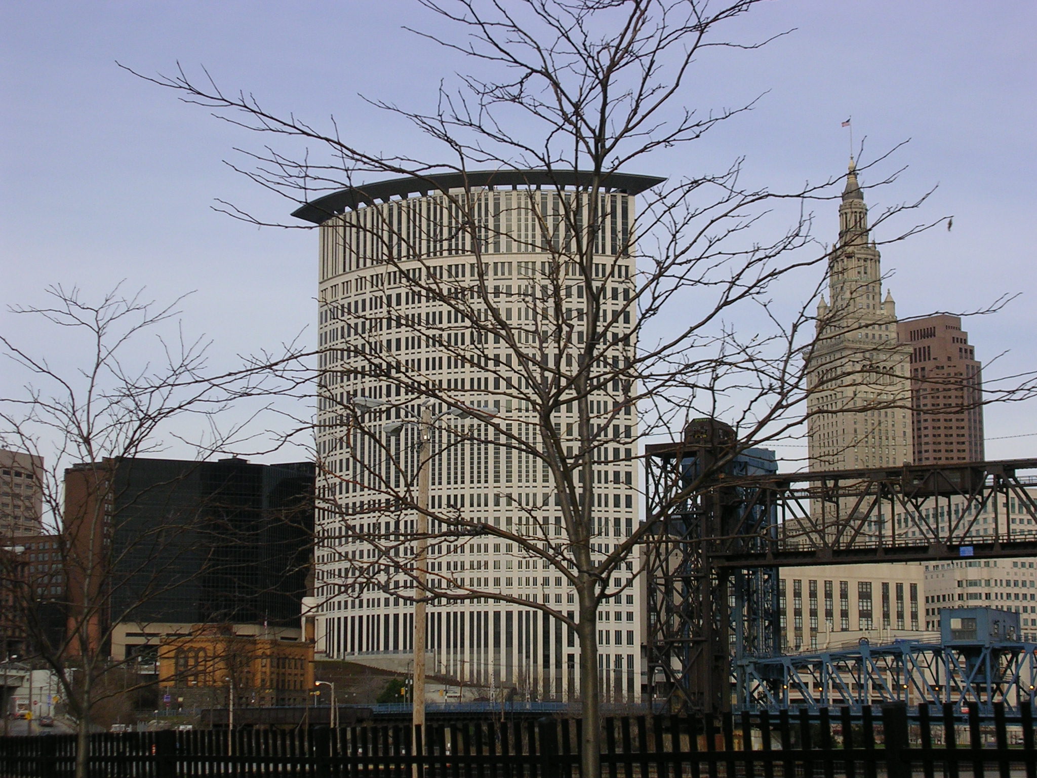
 There's
a roundish building I'd never seen before. See what happens when you
get lost?
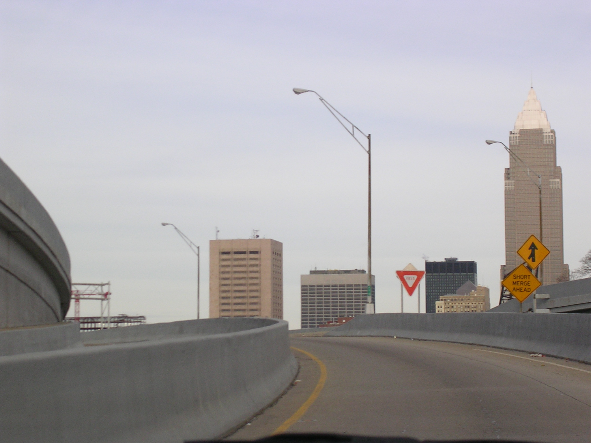
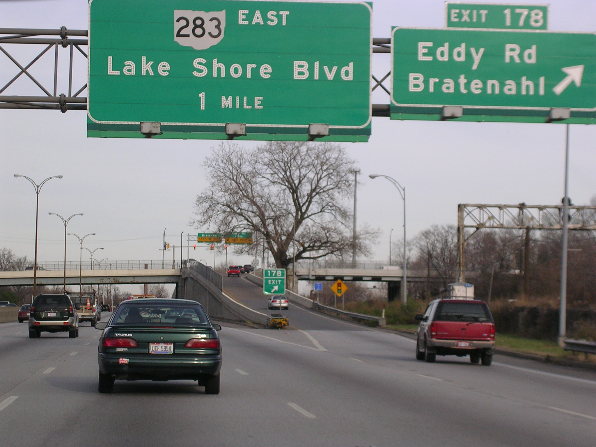
There's
a roundish building I'd never seen before. See what happens when you
get lost?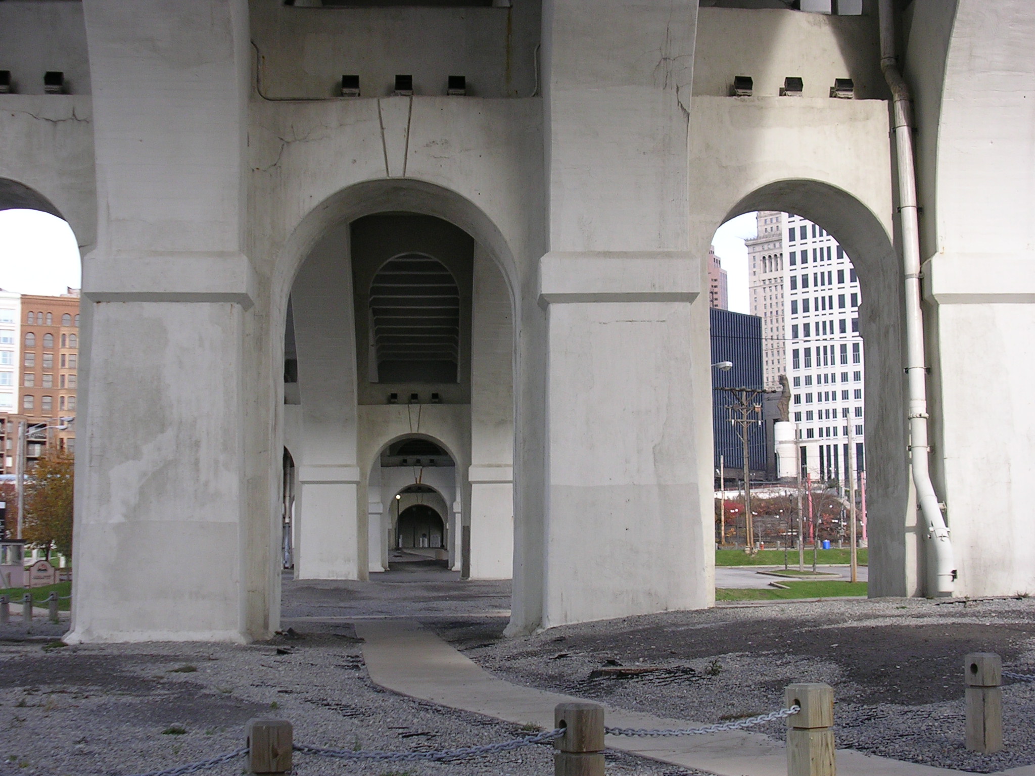 This
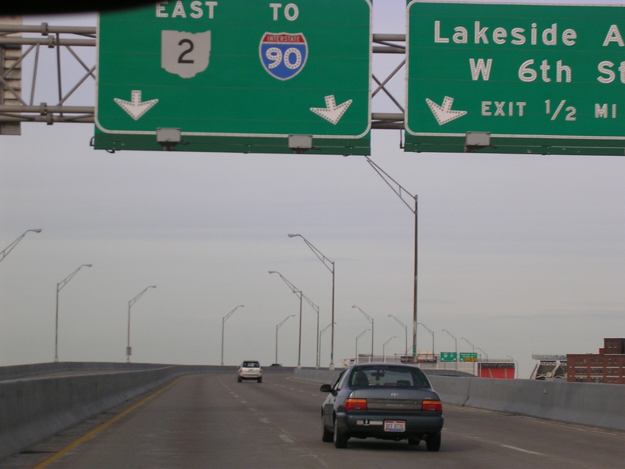
is the underside of the US 20 and US 42 bridge.
This
is the underside of the US 20 and US 42 bridge. It's
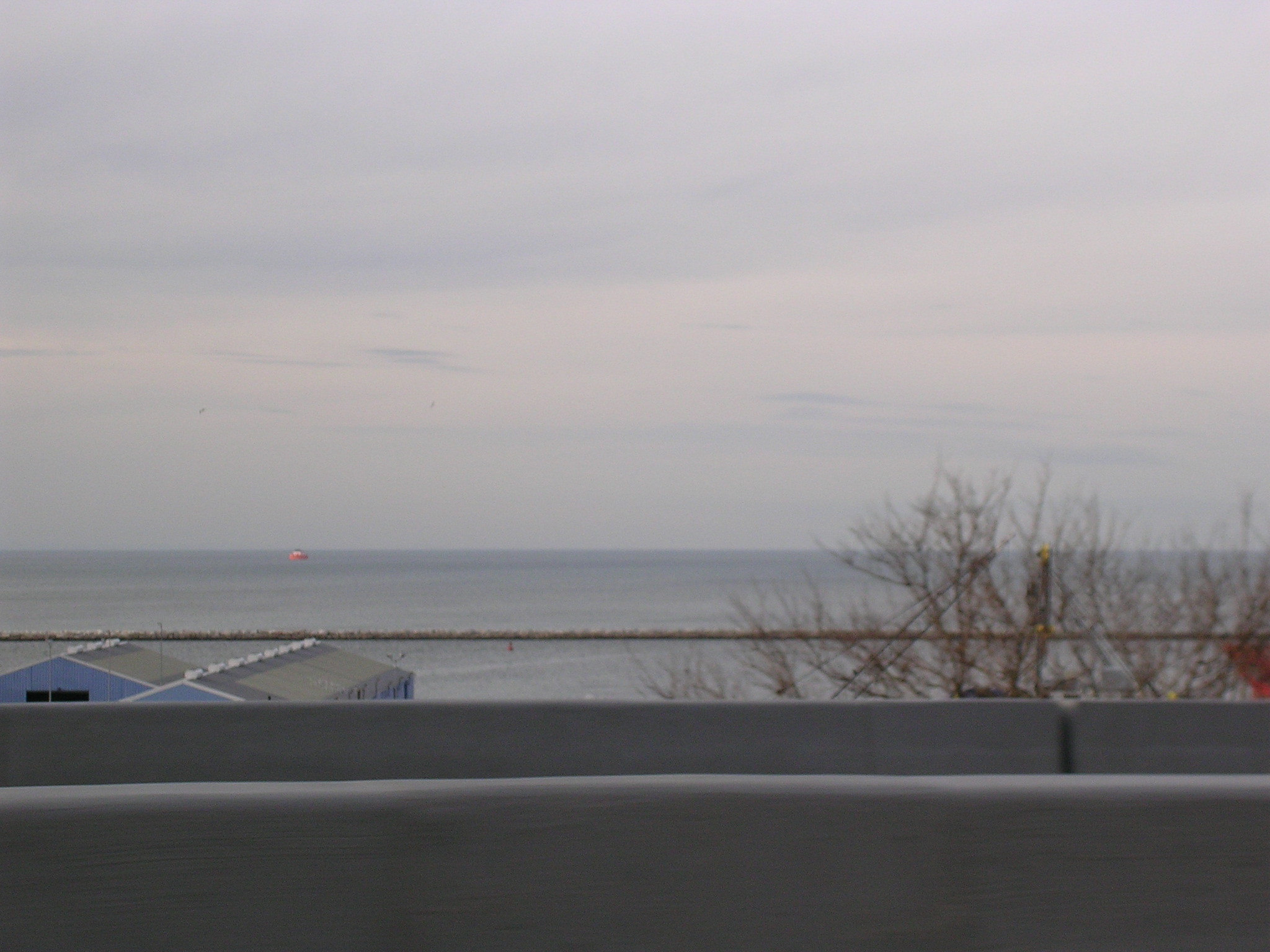
blurry, but it's the Flats! Somehow, we made it to the parking area.
Wasn't too busy today.
It's
blurry, but it's the Flats! Somehow, we made it to the parking area.
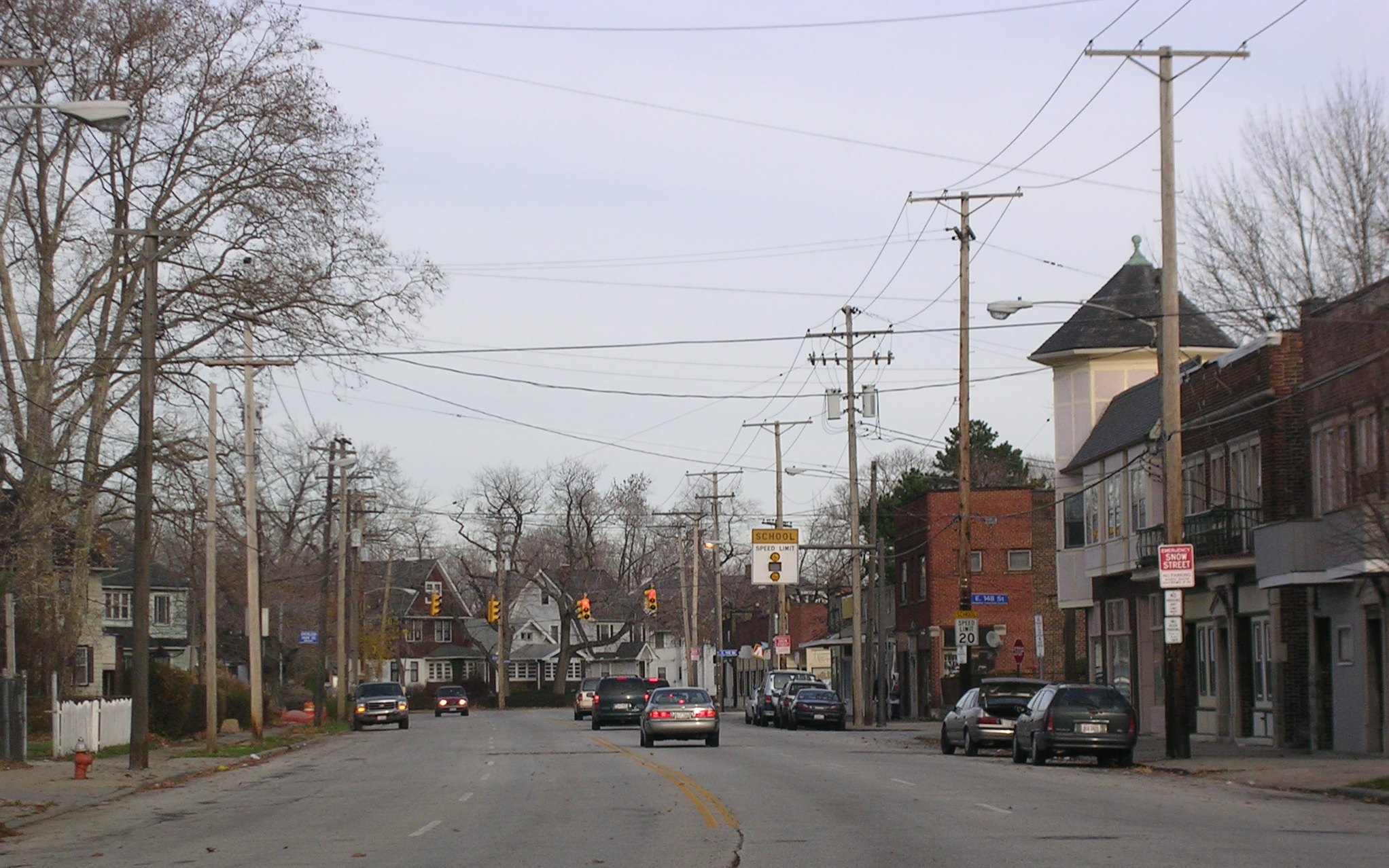
Wasn't too busy today.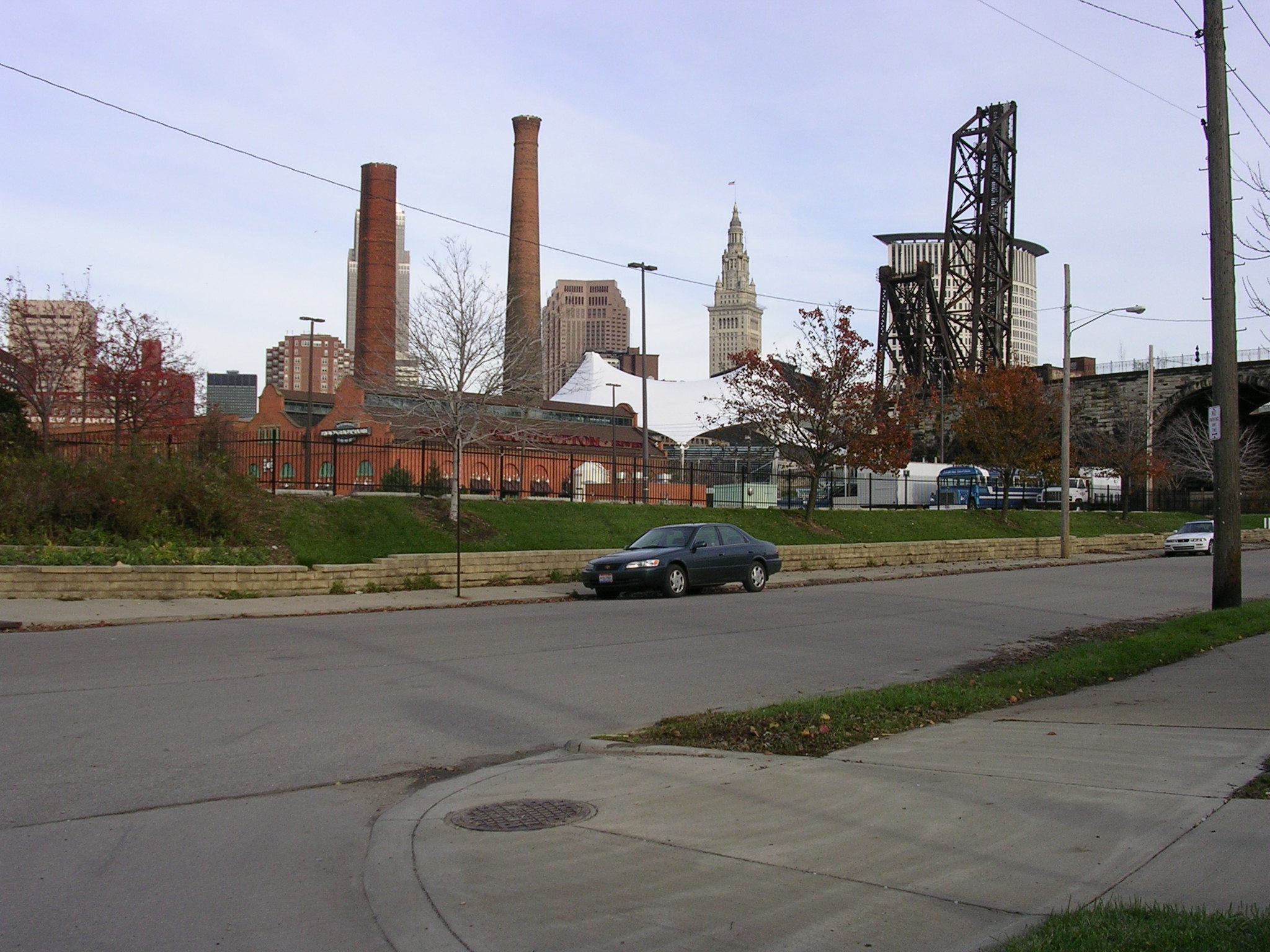 More
views of the city.
More
views of the city.