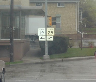
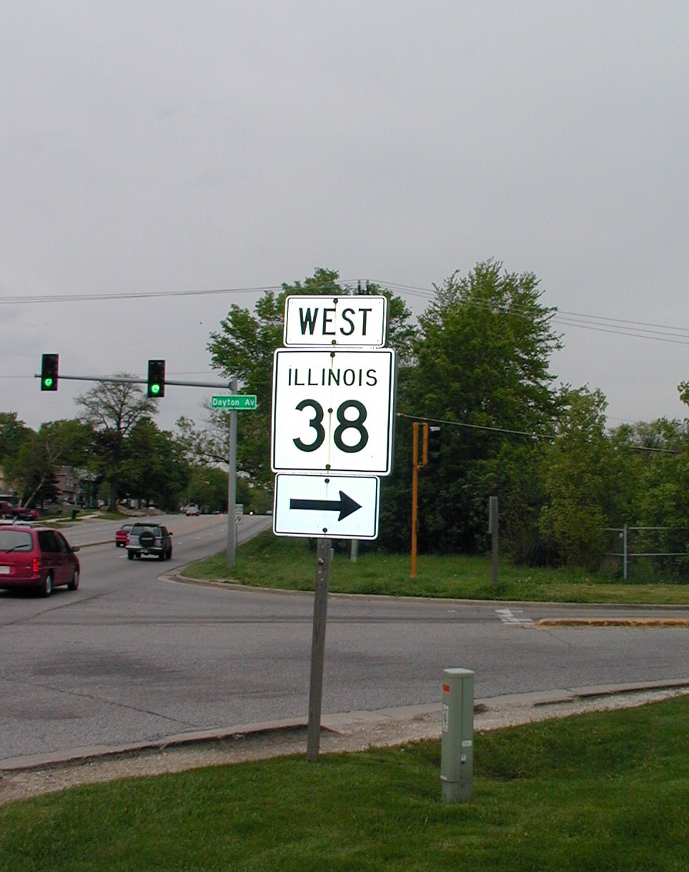
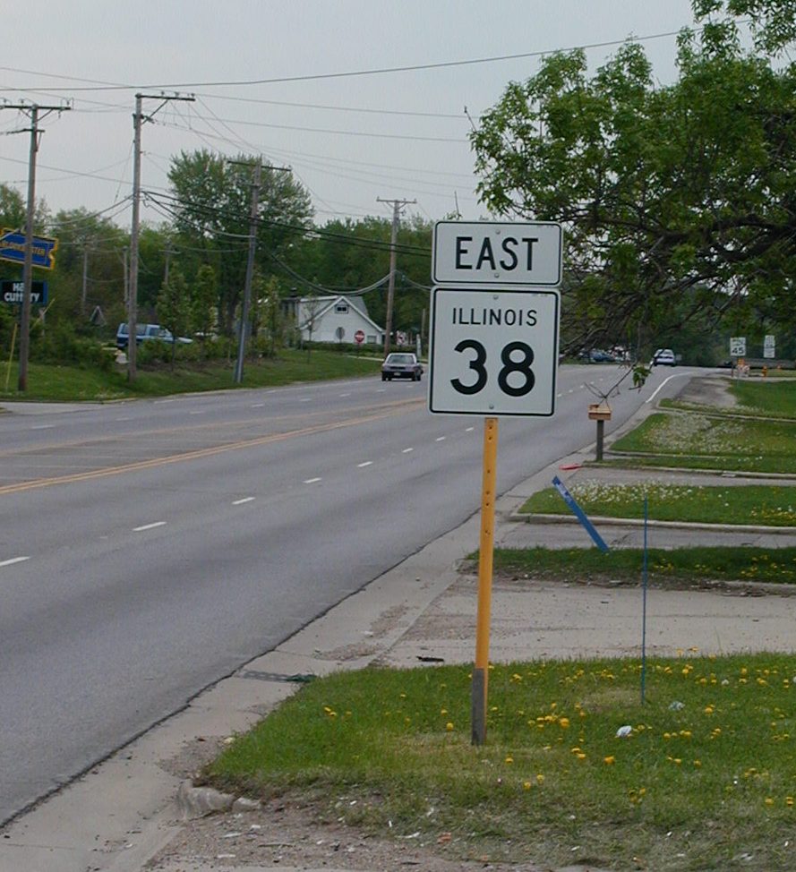
 This
directional sign for IL 38 is from NB IL 59. Route 59 connects to IL
38 (known locally as Roosevelt Rd.) via Dayton Ave., as Roosevelt heads
under 59 (officially, but not called, Neltnor Blvd.). Route 59 is four
lanes divided throughout the city (and really throughout DuPage County). This
directional sign for IL 38 is from NB IL 59. Route 59 connects to IL
38 (known locally as Roosevelt Rd.) via Dayton Ave., as Roosevelt heads
under 59 (officially, but not called, Neltnor Blvd.). Route 59 is four
lanes divided throughout the city (and really throughout DuPage County). |
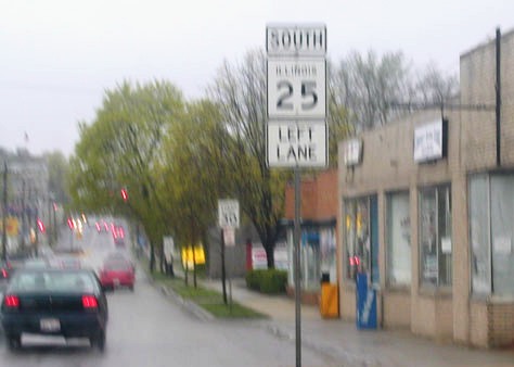
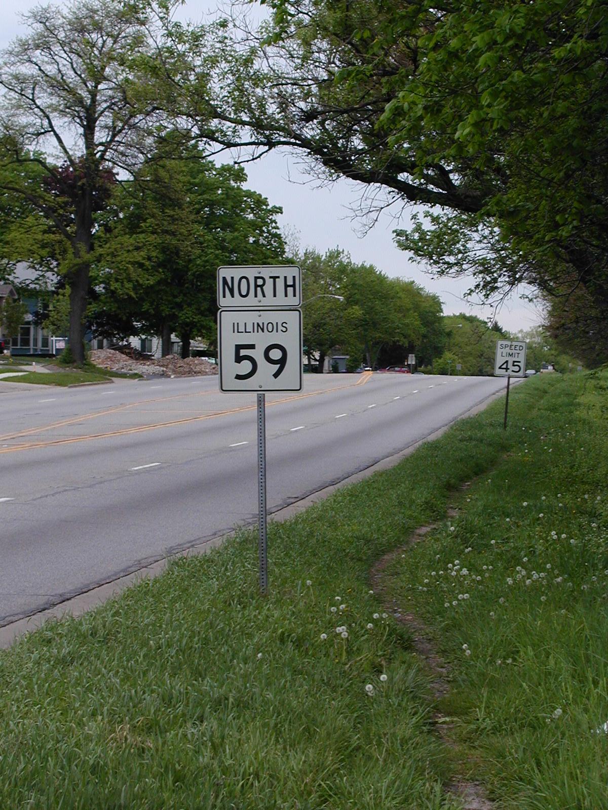 North
IL 59 shield just north of the previous intersection. The speed is 45
here, but drops to 35 closer to downtown. Average traffic speed
throughout West Chicago seems to be about 50 or so with a few drivers who go
35 the whole way. North
IL 59 shield just north of the previous intersection. The speed is 45
here, but drops to 35 closer to downtown. Average traffic speed
throughout West Chicago seems to be about 50 or so with a few drivers who go
35 the whole way. |
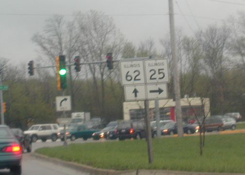
 Eastbound
Roosevelt just past Joliet Street (which probably means nothing to you).
This stretch has a Jewel on the left and a tire store and a car dealer on
the right. It hits IL 59 in about a mile (if you look closely, you can
see the JCT signage in the distance after the Speed Limit 45 sign). Eastbound
Roosevelt just past Joliet Street (which probably means nothing to you).
This stretch has a Jewel on the left and a tire store and a car dealer on
the right. It hits IL 59 in about a mile (if you look closely, you can
see the JCT signage in the distance after the Speed Limit 45 sign). |
 Okay,
so this is not in West Chicago, but it is just south of the city, in
Warrenville. This I-88 shield has been around since about 1993, when
Winfield Rd. was extended into Cantera, and has the Illinois state name
inside the shield. This is on SB Winfield Rd. at the Warrenville Rd.
intersection. A Walgreens was being constructed at the time of this
photo in spring 2002. Okay,
so this is not in West Chicago, but it is just south of the city, in
Warrenville. This I-88 shield has been around since about 1993, when
Winfield Rd. was extended into Cantera, and has the Illinois state name
inside the shield. This is on SB Winfield Rd. at the Warrenville Rd.
intersection. A Walgreens was being constructed at the time of this
photo in spring 2002. |
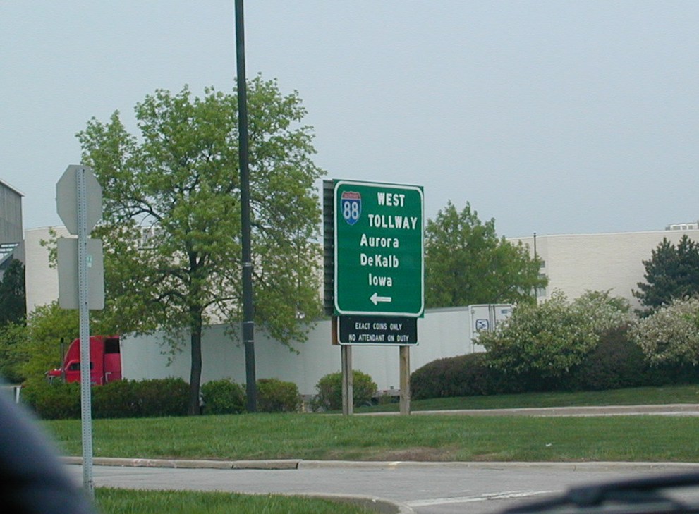
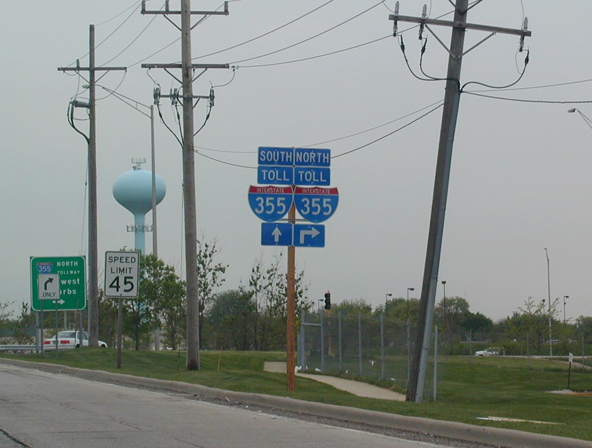
Oak Brook and Downer's Grove: