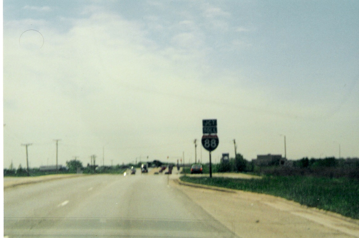
 SB
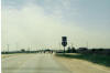
IL 59 approaching I-88 in Naperville. SB
IL 59 approaching I-88 in Naperville. |
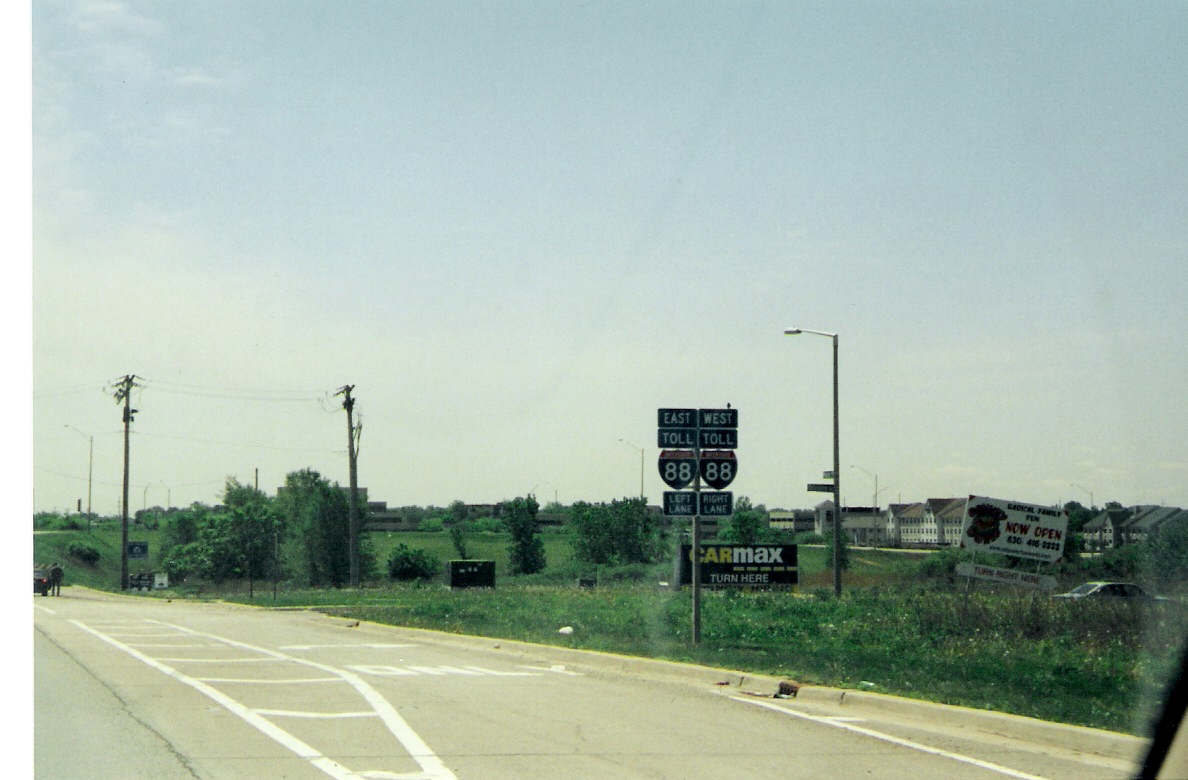
 Illinois
puts a "Toll" banner on its tollways. Illinois
puts a "Toll" banner on its tollways. |
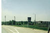
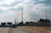
 This
interchange no longer looks like this picture shows it with I-88's
reconstruction in 2004-05. This
interchange no longer looks like this picture shows it with I-88's
reconstruction in 2004-05. |
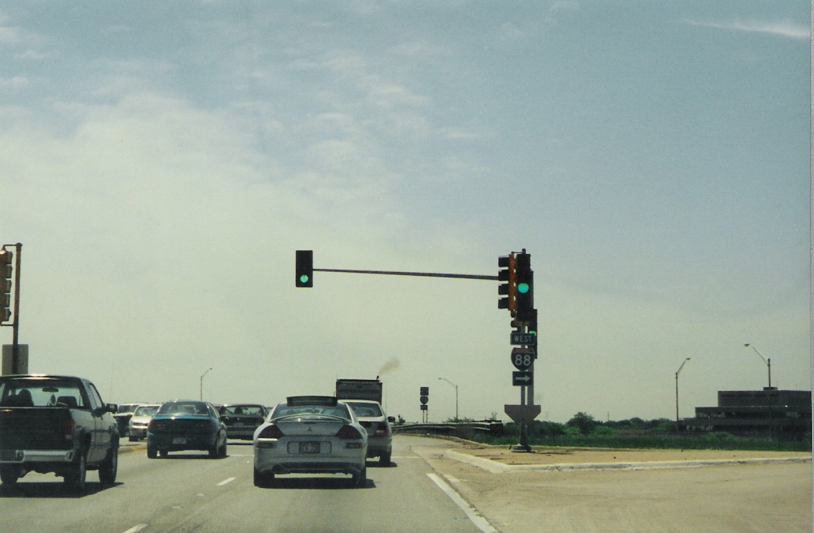
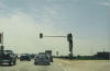
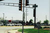
 This
was the scene to get to EB I-88. This
was the scene to get to EB I-88. |
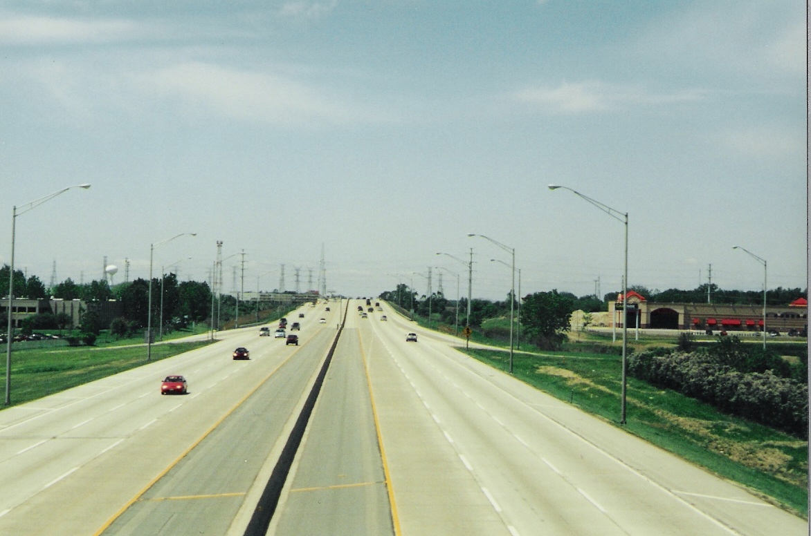
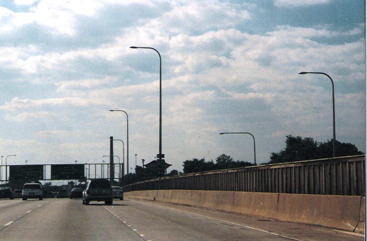
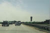
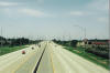 Looking
west on I-88 from the IL 59 overpass. Jeez, I remember when I-88 used
to become a rural 65 m.p.h. highway here! Looking
west on I-88 from the IL 59 overpass. Jeez, I remember when I-88 used
to become a rural 65 m.p.h. highway here! |
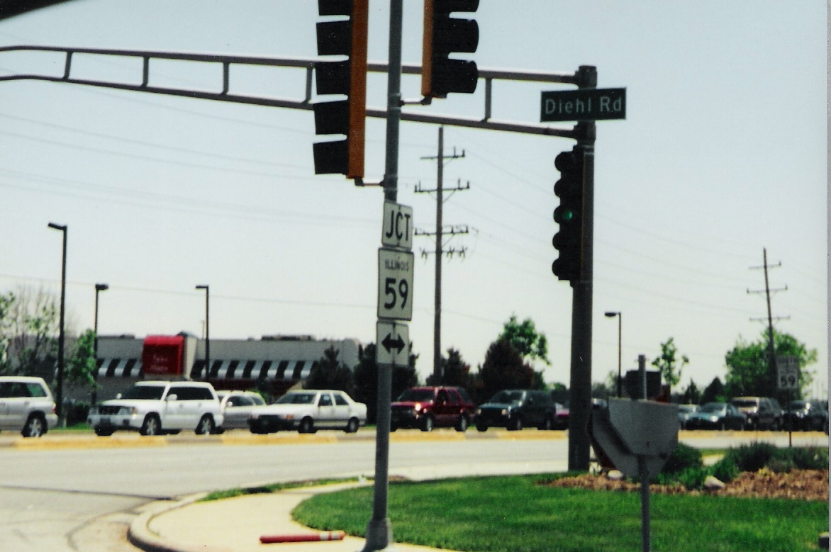
 On
Diehl Road, there is a sign with a JCT banner added for good measure. On
Diehl Road, there is a sign with a JCT banner added for good measure. |
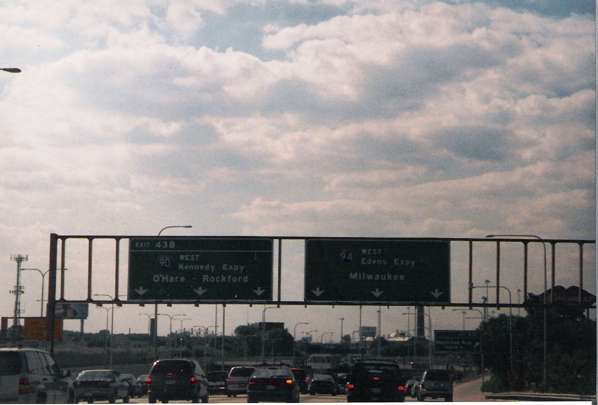
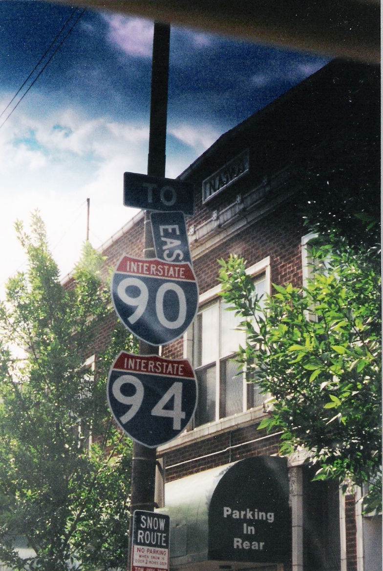
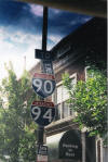
 Whoa
there, how'd we get all the way into the city? This is the Kennedy
Outbound, otherwise known as I-90/94 West. Whoa
there, how'd we get all the way into the city? This is the Kennedy
Outbound, otherwise known as I-90/94 West. |
 I-94
splits off the Kennedy Expy. off to Milwaukee, while I-90 goes to the
airport. Weird how I-94's exit numbers are used here. I-94
splits off the Kennedy Expy. off to Milwaukee, while I-90 goes to the
airport. Weird how I-94's exit numbers are used here. |
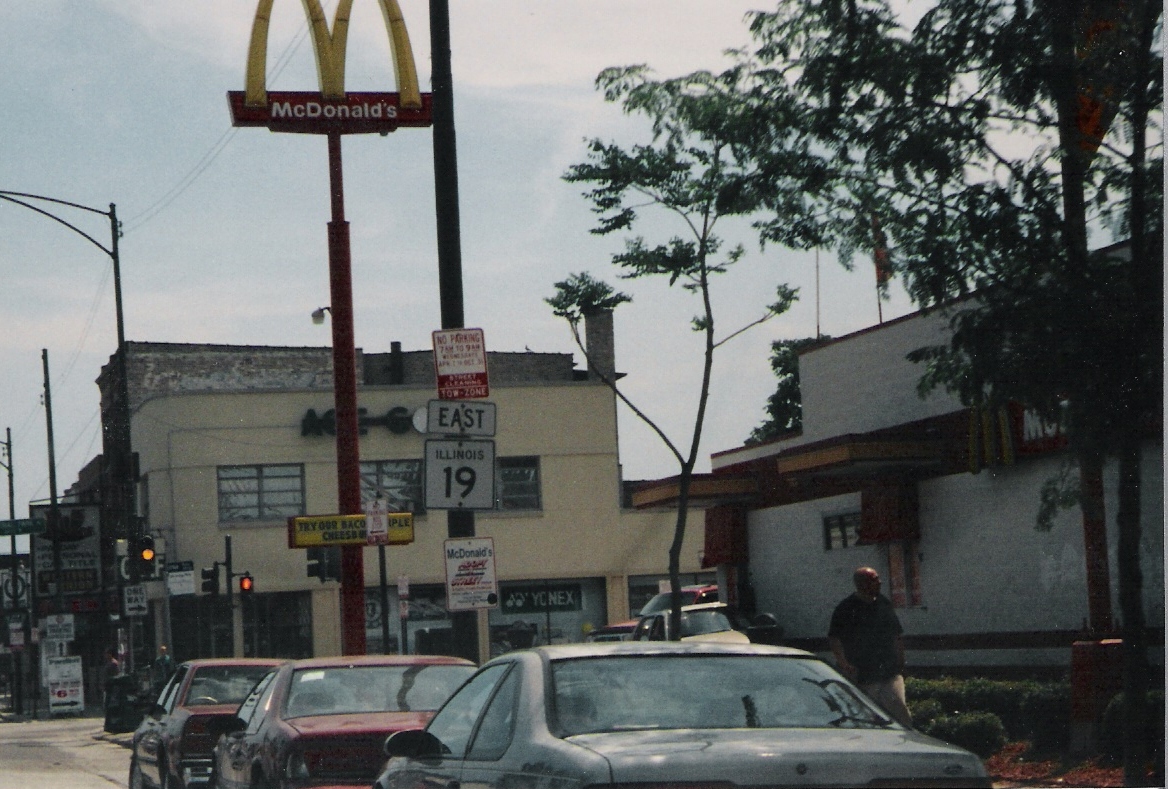
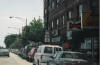
 A
couple of shields that have seen better days on IL 19, Irving Park Road. A
couple of shields that have seen better days on IL 19, Irving Park Road. |
 Here's
EB IL 19, which runs from Elgin to Lake Shore Drive. This is the way
to Wrigley Field. Here's
EB IL 19, which runs from Elgin to Lake Shore Drive. This is the way
to Wrigley Field. |
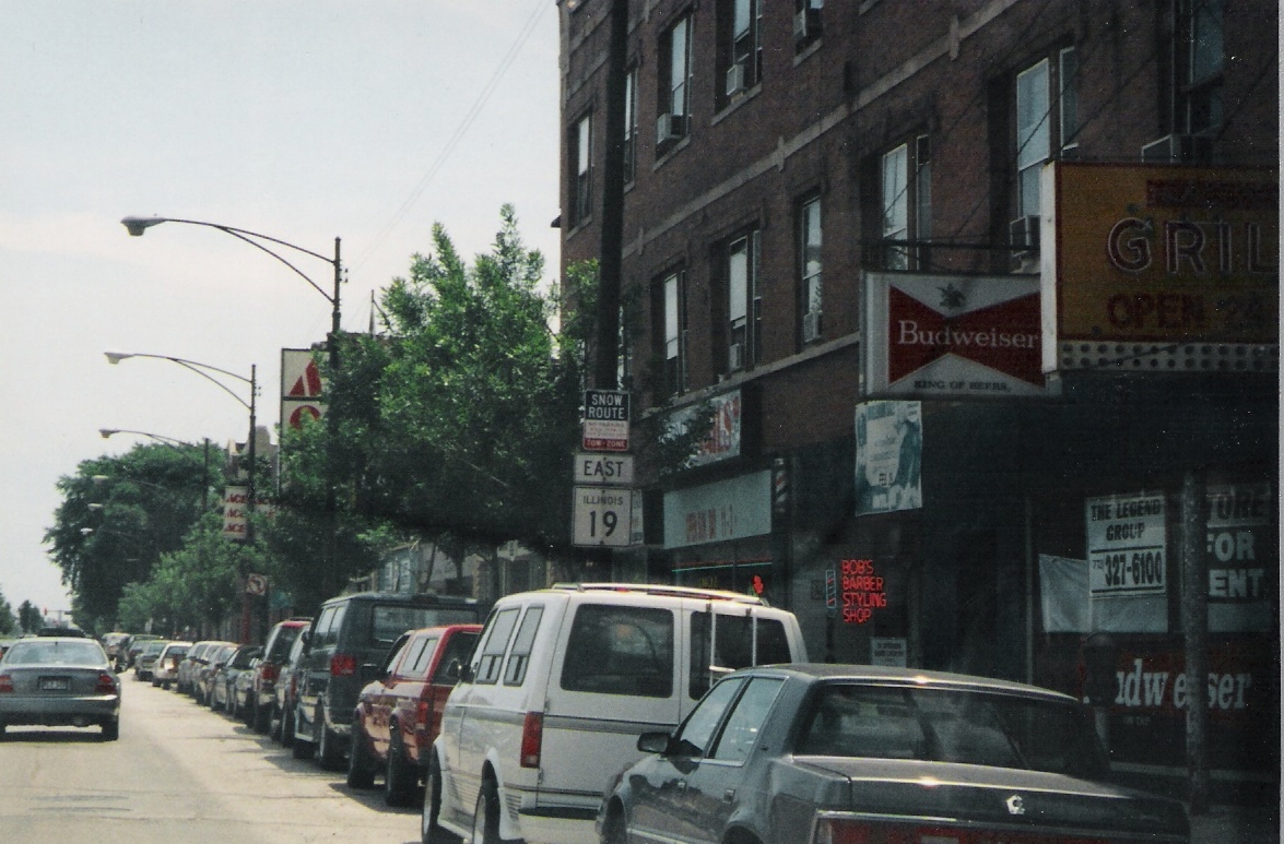
 Another
IL 19 East shield. Another
IL 19 East shield. |
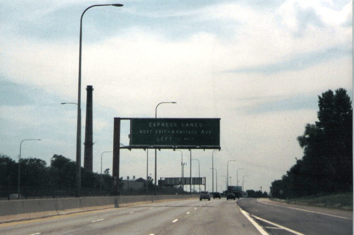
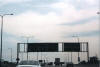
 Now
back on the Kennedy, where Express lanes exist! Now
back on the Kennedy, where Express lanes exist! |
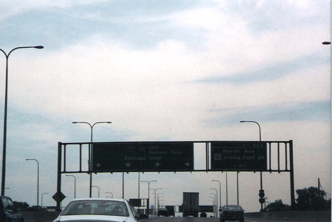
 And,
of course, the BGS assembly for IL 19 and the Chicago Loop. Loop means
downtown for out of towners. And,
of course, the BGS assembly for IL 19 and the Chicago Loop. Loop means
downtown for out of towners. |
|
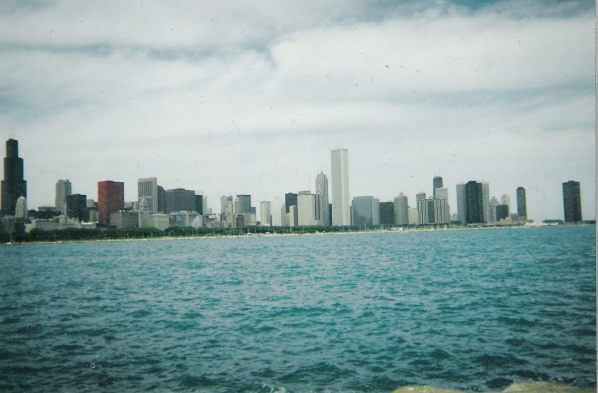 Lake
Michigan is pretty blue in the summertime.
Lake
Michigan is pretty blue in the summertime.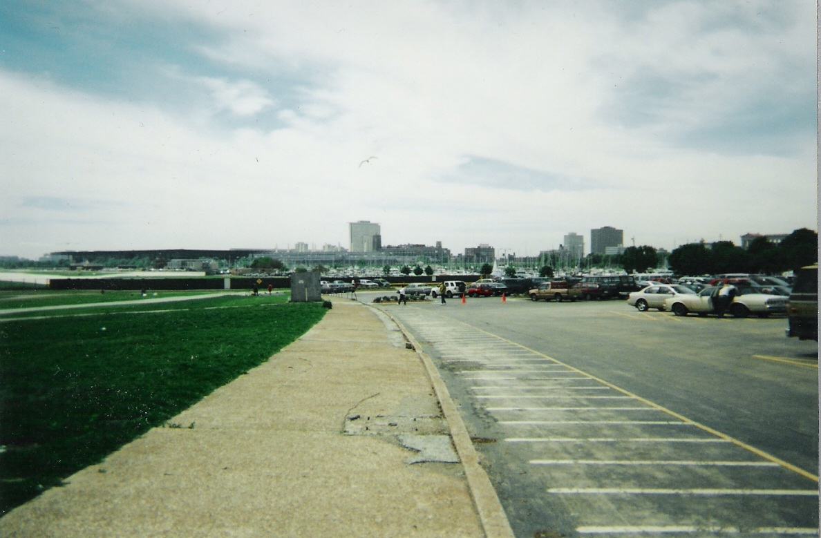 Looking
south at what was Meigs Field on Northerly Island. After da Mare
ripped up the runways in the middle of the night a couple years ago, there
is no longer an airport, rather a park.
Looking
south at what was Meigs Field on Northerly Island. After da Mare
ripped up the runways in the middle of the night a couple years ago, there
is no longer an airport, rather a park.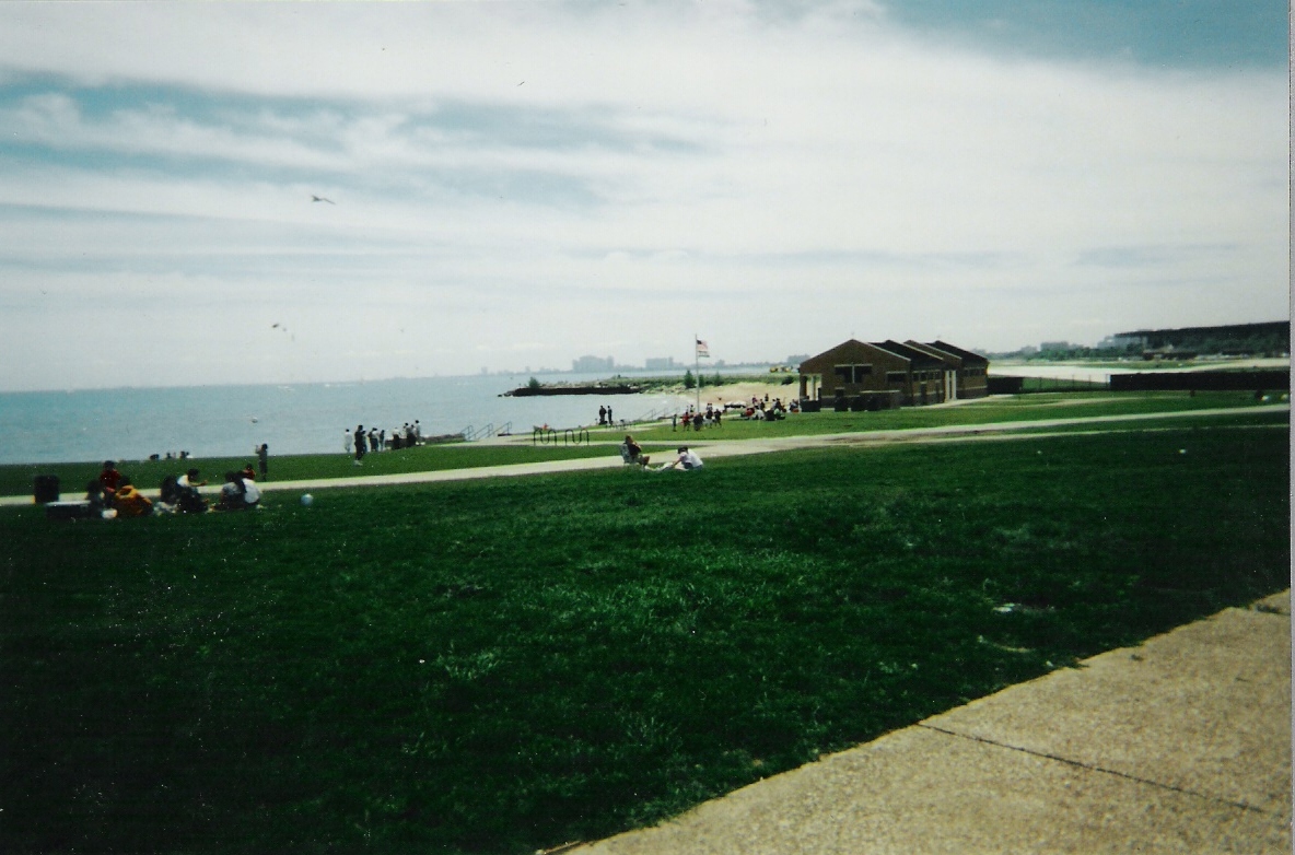 People
were already using the area for recreational purposes, obviously.
People
were already using the area for recreational purposes, obviously.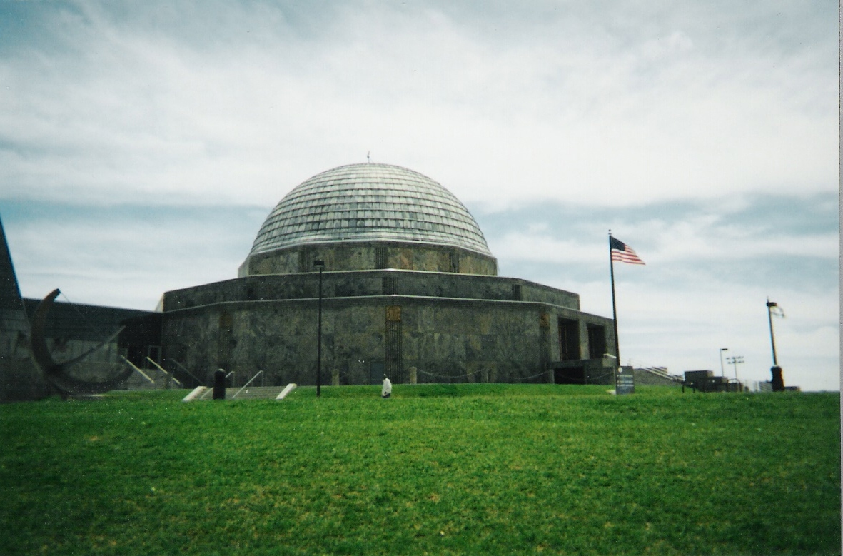 That's
the planetarium.
That's
the planetarium.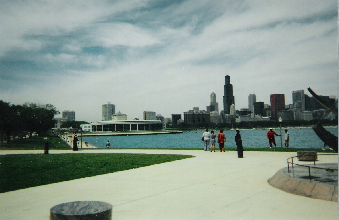 And
that would be the Shedd Aquarium in the background there.
And
that would be the Shedd Aquarium in the background there.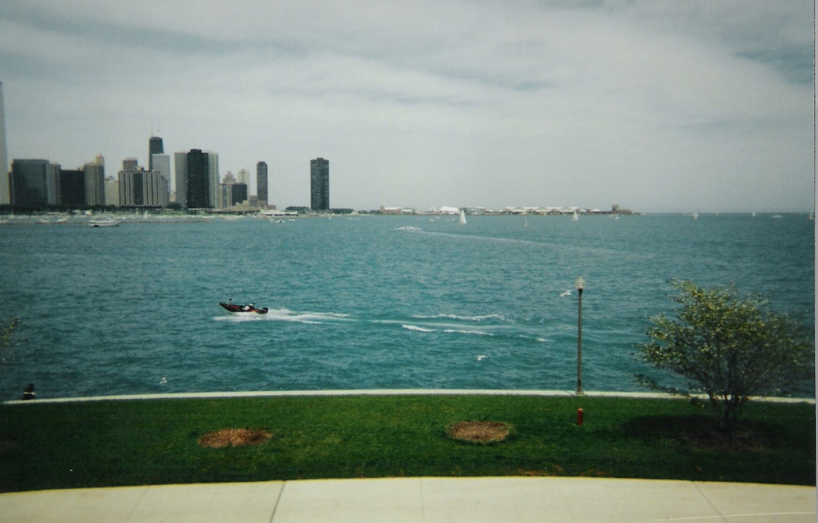 Off
in the distance, you can see Navy Pier, before it was the giant tourist
attraction it is now.
Off
in the distance, you can see Navy Pier, before it was the giant tourist
attraction it is now.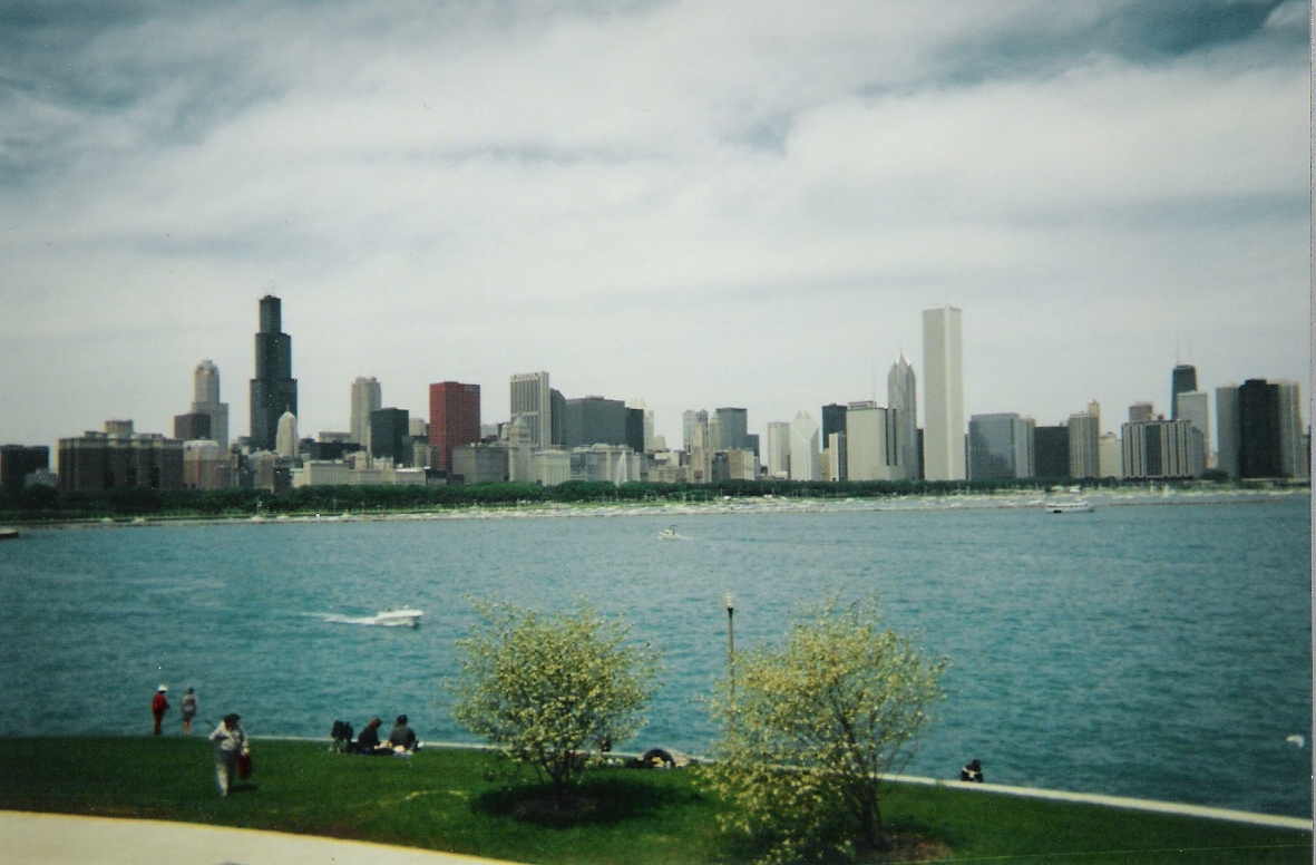 More
pretty skyline.
More
pretty skyline.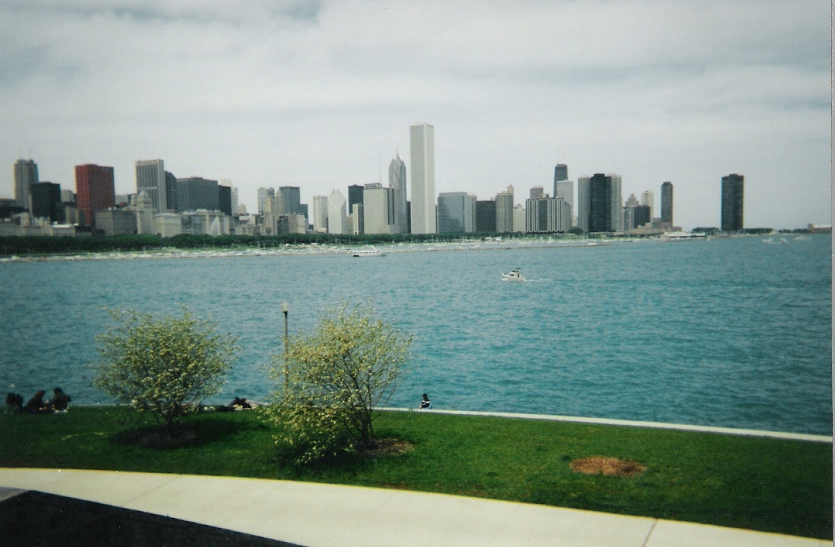 One
last shot.
One
last shot.