EXPRESSWAYS
Tollways and IDOT
Expressways
I-88 (Ronald Reagan Memorial Tollway, formerly
East-West Tollway):
Interstate 88 was commissioned around 1990, and before that was
called IL 5. It stretches from Hillside, where it meets I-290, I-294 and
IL 38 in what is known as the Hillside Strangler, all the way across the
northern part of the state to Moline, IL. IL 5 then continues as a
surface-level expressway to Rock Island, IL. All of I-88 in the Chicago
area is tolled, and is currently 6 lanes with a jersey barrier, although
construction started to widen it to 8 lanes in July 2004. I can't
update it regularly because I don't live there anymore. Sad. But I
have some new pics of the construction from 2005!
2001:
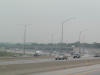
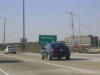
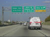
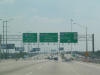
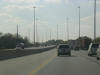
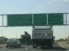
 I-88
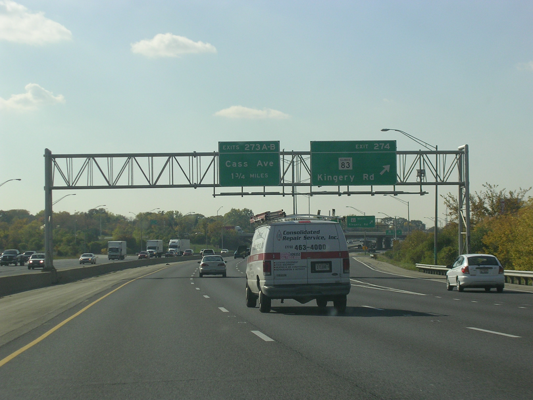
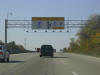
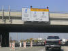
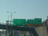
WB after the York Toll Plaza in Oak Brook. This exit is for IL 83 (Kingery
Hwy.) and Cermak Rd (which is 22nd Street in DuPage County, but Cermak in
Cook County). The exit actually connects to Spring Rd., but that is
unimportant in this case. The Oak Brook Shopping Mall is at this exit. I-88
WB after the York Toll Plaza in Oak Brook. This exit is for IL 83 (Kingery
Hwy.) and Cermak Rd (which is 22nd Street in DuPage County, but Cermak in
Cook County). The exit actually connects to Spring Rd., but that is
unimportant in this case. The Oak Brook Shopping Mall is at this exit. |
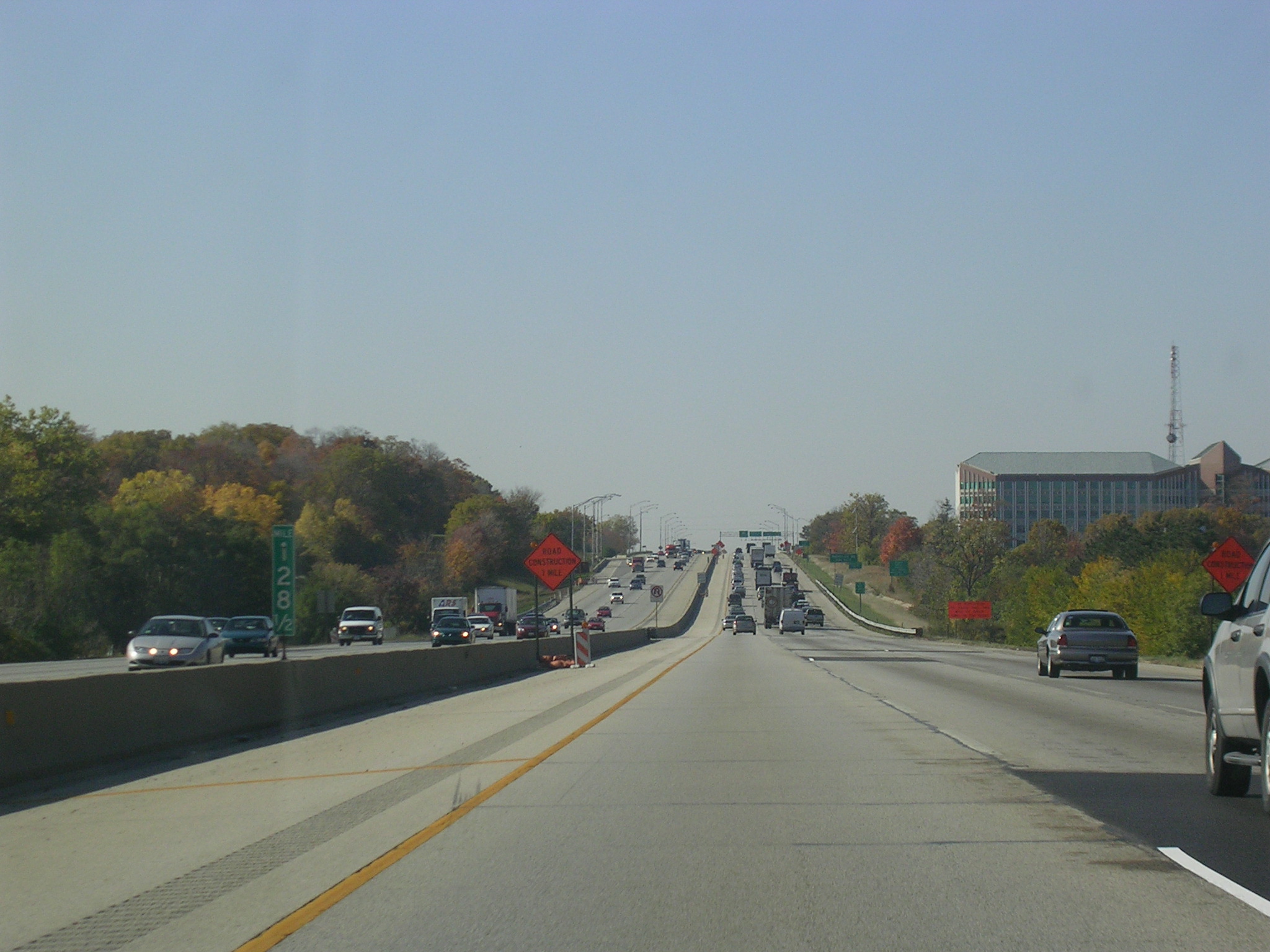
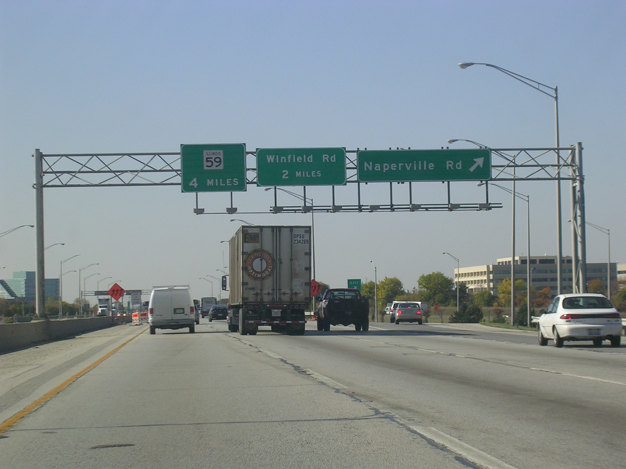
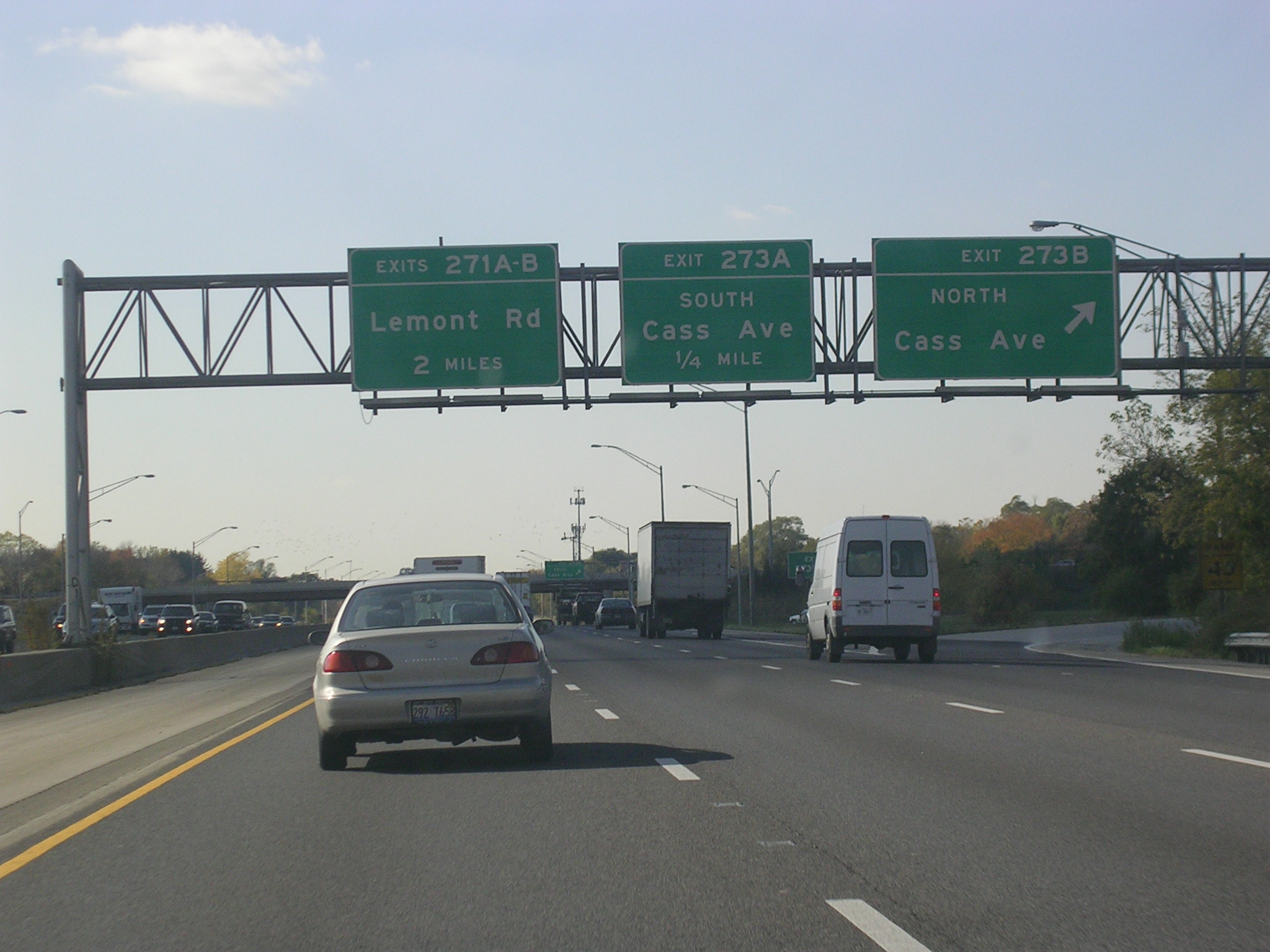
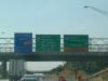
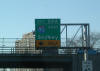
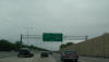
 I-88
WB at Naperville Rd (DuPage CR 23). Winfield Rd. (CR 13) is next, and
it was the exit that took me to my house in Winfield. I-88
WB at Naperville Rd (DuPage CR 23). Winfield Rd. (CR 13) is next, and
it was the exit that took me to my house in Winfield. |
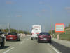
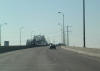
 EB
I-88 at I-355 (North-South Tollway). This is an interesting
interchange, because I-355 parallels I-88 for a mile or so, so the South
exit is here and the North exit is in a mile and a half. EB
I-88 at I-355 (North-South Tollway). This is an interesting
interchange, because I-355 parallels I-88 for a mile or so, so the South
exit is here and the North exit is in a mile and a half. |
 This
might help any confusion: I-88 is the nearest set of lanes, and the other
set is I-355. There is no division between the two tollways except a
jersey barrier. This
might help any confusion: I-88 is the nearest set of lanes, and the other
set is I-355. There is no division between the two tollways except a
jersey barrier. |
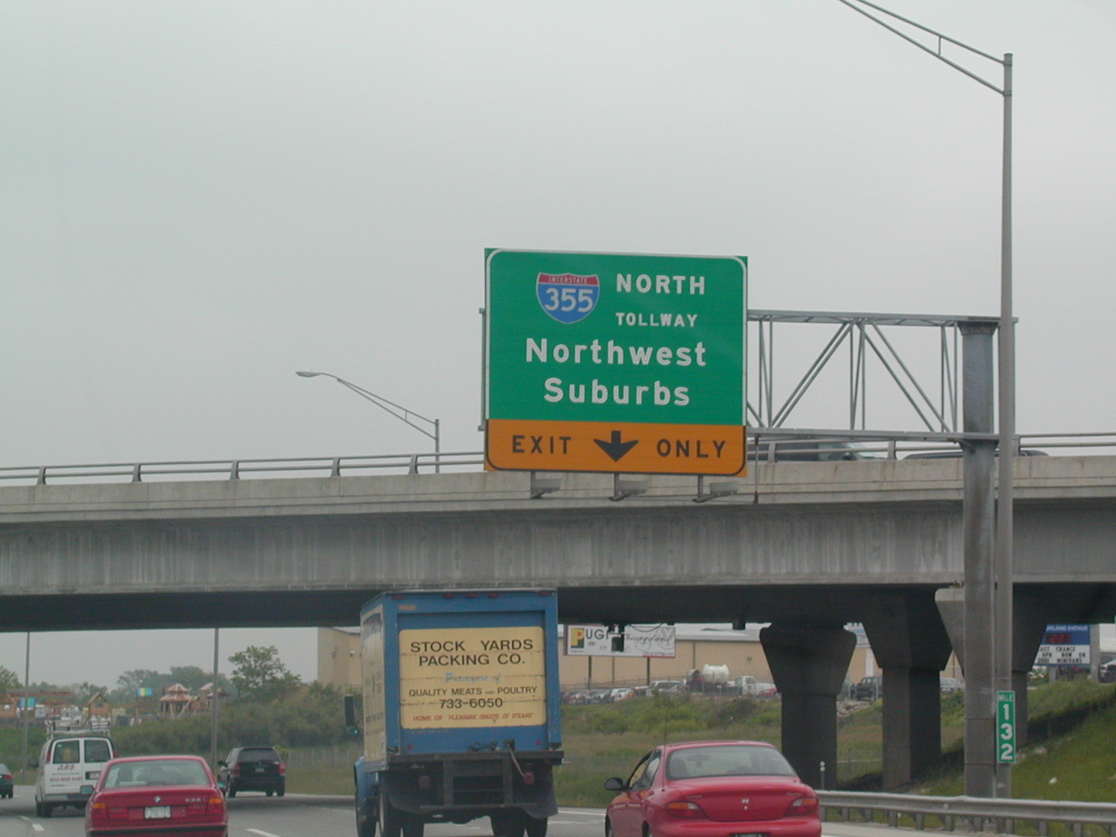
 This
is the exit from I-88 EB to I-355 NB, via the flyover ramp seen in the
background of the previous picture. This
is the exit from I-88 EB to I-355 NB, via the flyover ramp seen in the
background of the previous picture. |
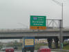
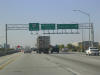
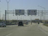
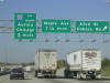
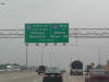
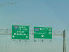
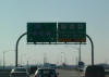
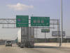
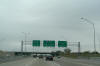
 Just
east of the York Toll Plaza, I-290 and I-294 appear on BGSs. I-88 will
end in two miles at I-290 (Eisenhower Expy). This is the upcoming
Hillside Strangler. Just
east of the York Toll Plaza, I-290 and I-294 appear on BGSs. I-88 will
end in two miles at I-290 (Eisenhower Expy). This is the upcoming
Hillside Strangler. |
 I-88
approaches its end at the Ike (I-290). I think this is a pretty sign,
so I snapped it. You can tell how old this picture is by the fact that
old IL license plates were in use, and the new ones took over in 2001. I-88
approaches its end at the Ike (I-290). I think this is a pretty sign,
so I snapped it. You can tell how old this picture is by the fact that
old IL license plates were in use, and the new ones took over in 2001. |
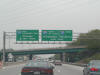
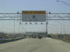
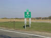
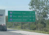
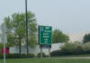 From
22nd Street in Oak Brook, this BGS has a control city or three for I-88. From
22nd Street in Oak Brook, this BGS has a control city or three for I-88. |
2005:
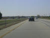
 I-88
WB scene just after crossing Yackley Ave. Naperville Road is the next
exit. I-88
WB scene just after crossing Yackley Ave. Naperville Road is the next
exit. |
 I-88
WB at Naperville Road. This picture should look familiar if you saw
the pictures above. I-88
WB at Naperville Road. This picture should look familiar if you saw
the pictures above. |
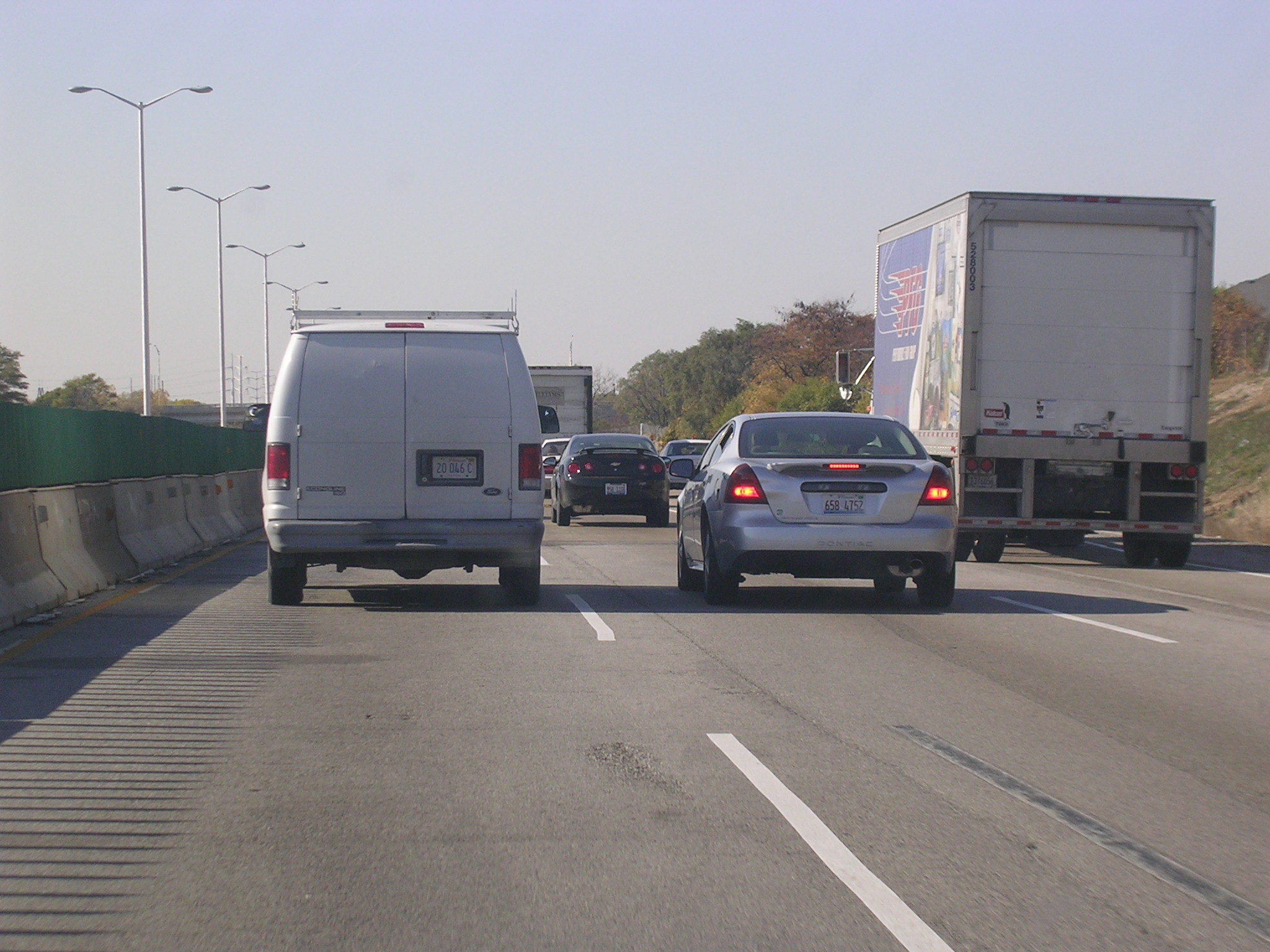
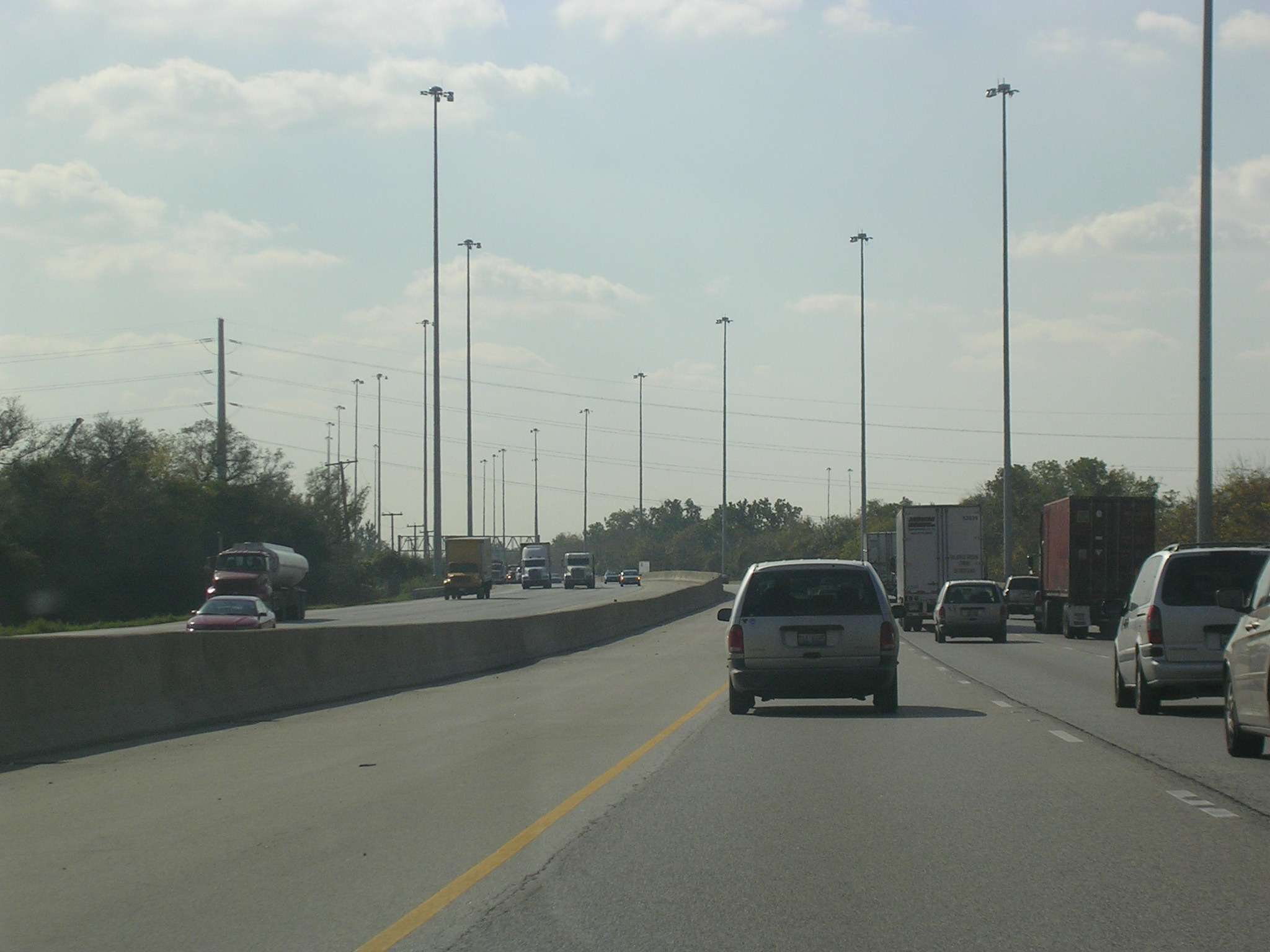
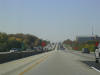
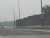
 Three
lanes remain open at all times, but it's squishy. Three
lanes remain open at all times, but it's squishy. |
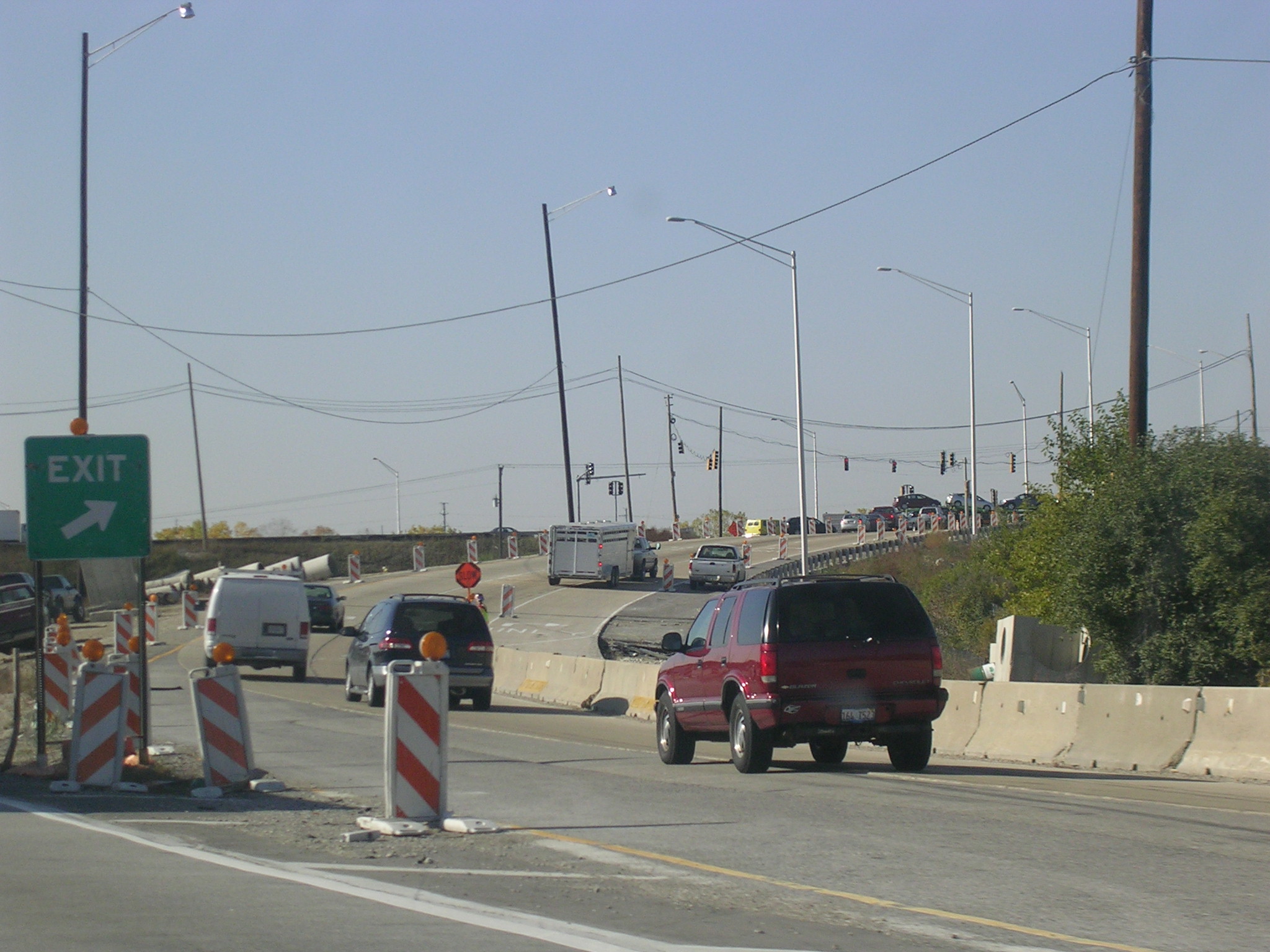
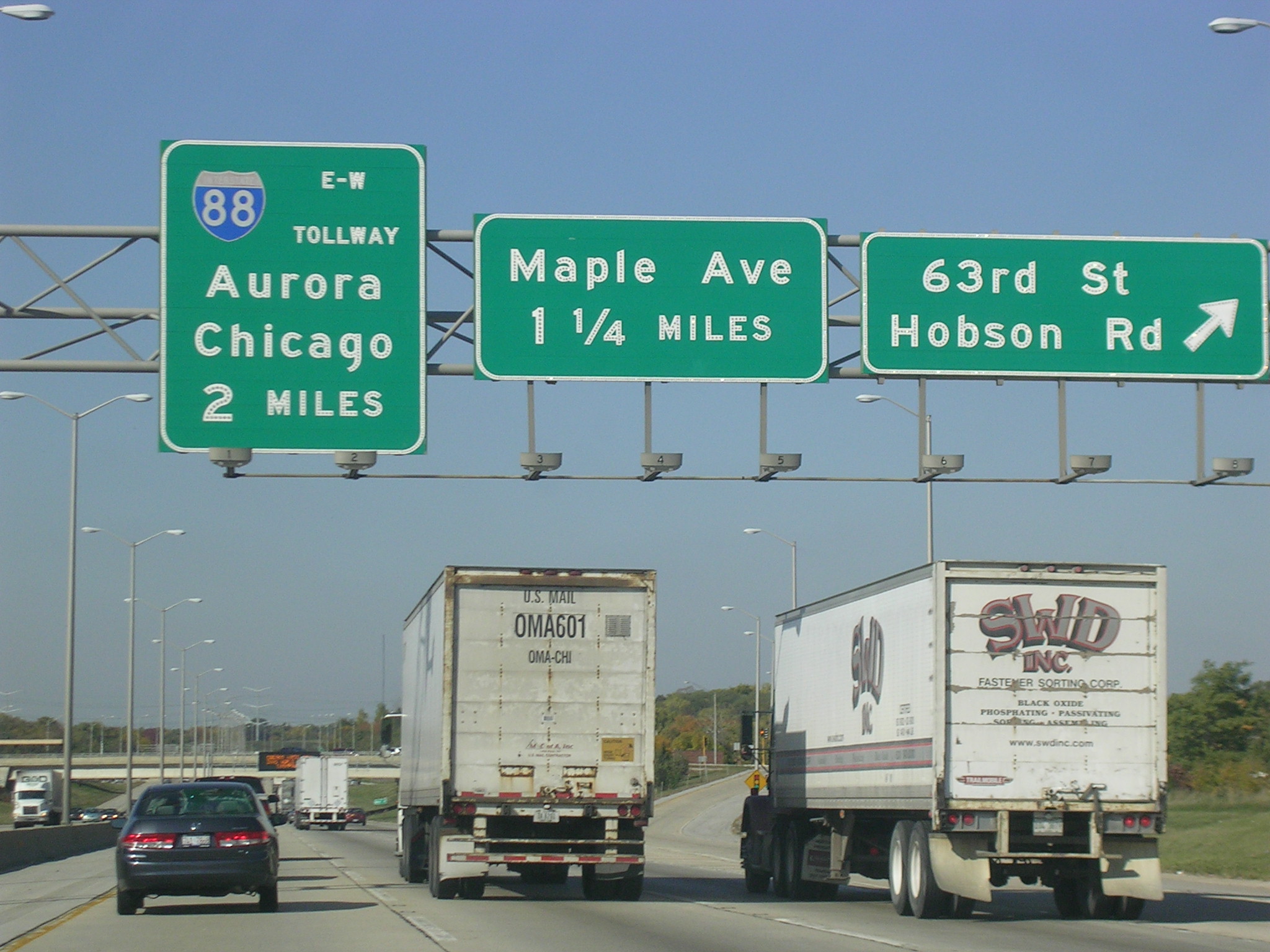
 My
old exit. My
old exit. |
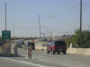 Wow,
what are they doing to Route 59's ramps? They've built new offices at
this interchange since I moved. Wow,
what are they doing to Route 59's ramps? They've built new offices at
this interchange since I moved. |
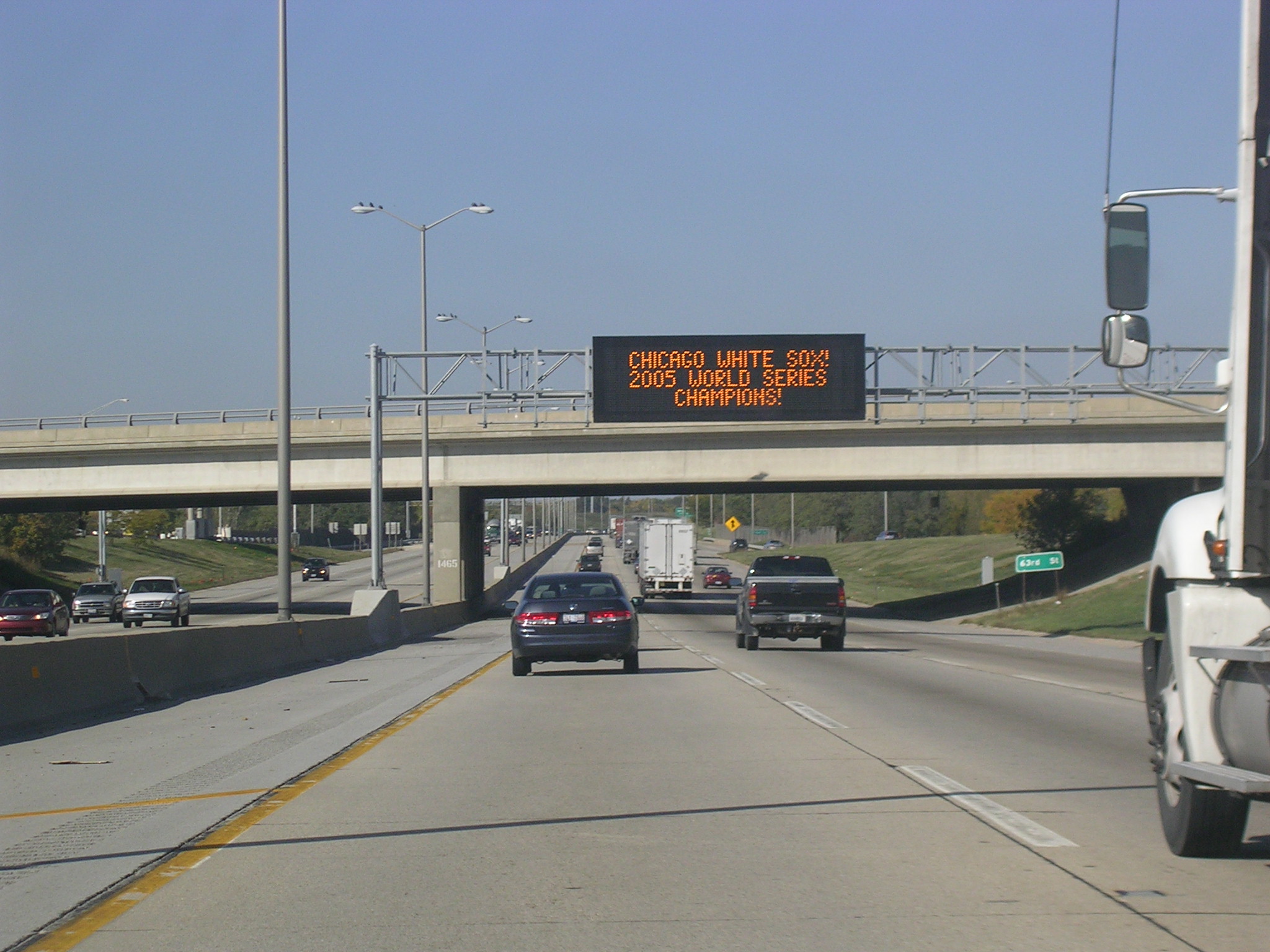
 Yeah
right. It took Ricky like 15-20 minutes to get to DeKalb from here. Yeah
right. It took Ricky like 15-20 minutes to get to DeKalb from here. |
 A
pretty I-88 shield. A
pretty I-88 shield. |
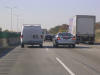
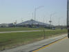
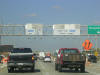
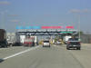
 Coming
up on the Aurora toll plaza. Coming
up on the Aurora toll plaza. |
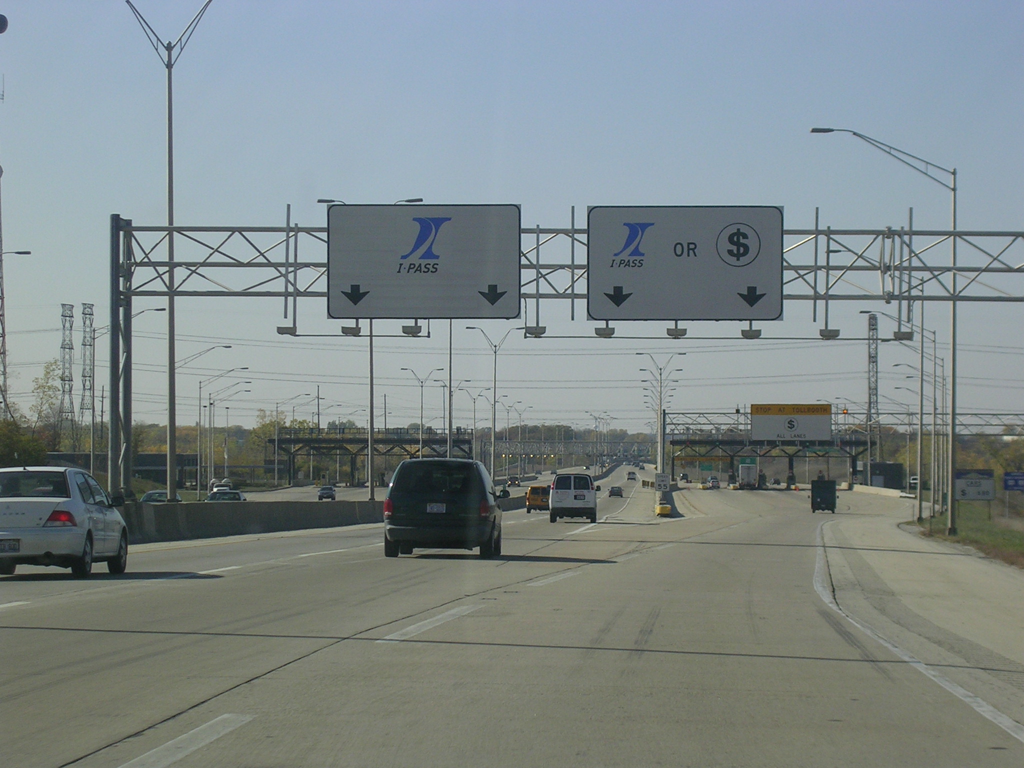
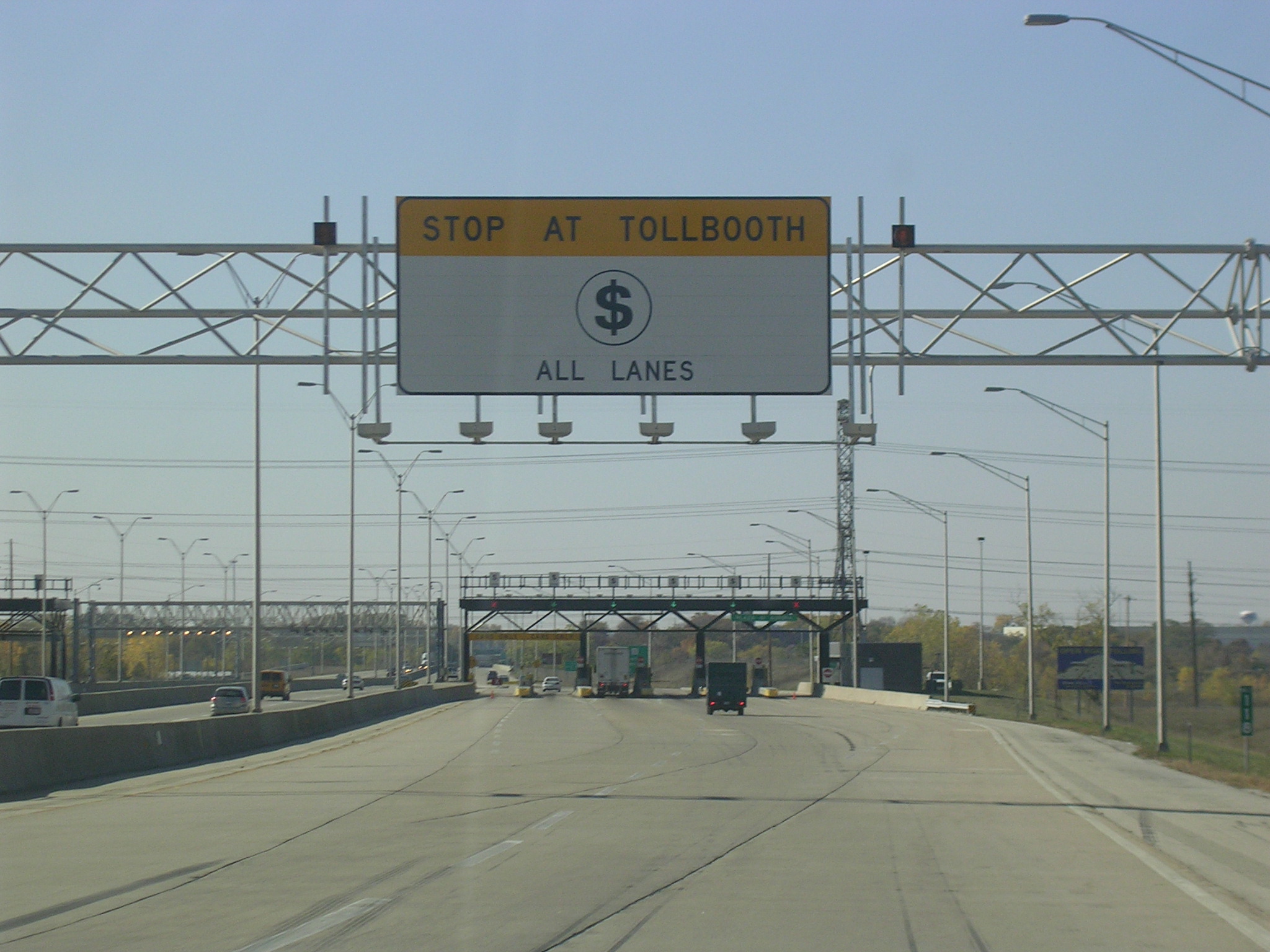
 Since
this plaza had an I-PASS express lane, it wasn't too hard to convert it to
Open-Road Tolling, and thus, it is the first completed plaza. There
are brand new signs in place, so I took a picture of them. Since
this plaza had an I-PASS express lane, it wasn't too hard to convert it to
Open-Road Tolling, and thus, it is the first completed plaza. There
are brand new signs in place, so I took a picture of them. |
 I
don't think the $ symbol rubs me right. I miss my pastels (see the
I-355 page for explanation). I
don't think the $ symbol rubs me right. I miss my pastels (see the
I-355 page for explanation). |
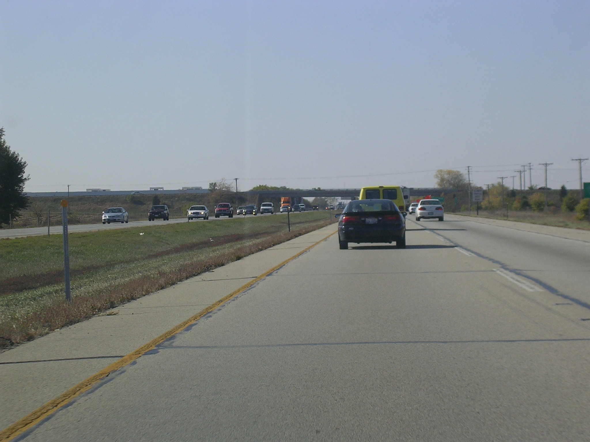
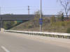
 Just
west of the toll plaza. Just
west of the toll plaza. |
 Ruralness
abounds. Ruralness
abounds. |
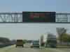
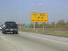
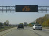 Just
before Orchard Road, another variable message system tells us to be alert
for the next 30 miles (there is bridge work being done). Just
before Orchard Road, another variable message system tells us to be alert
for the next 30 miles (there is bridge work being done). |
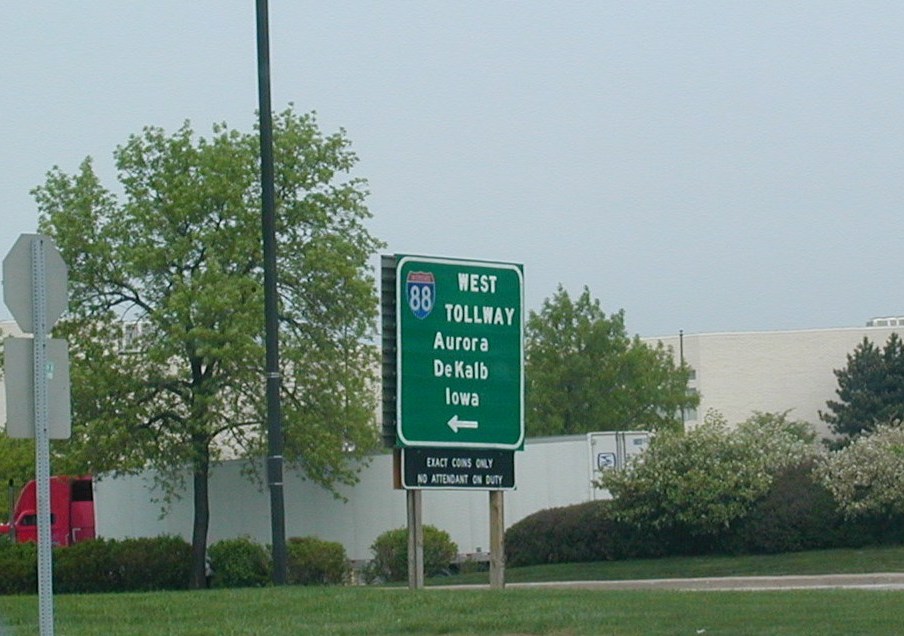
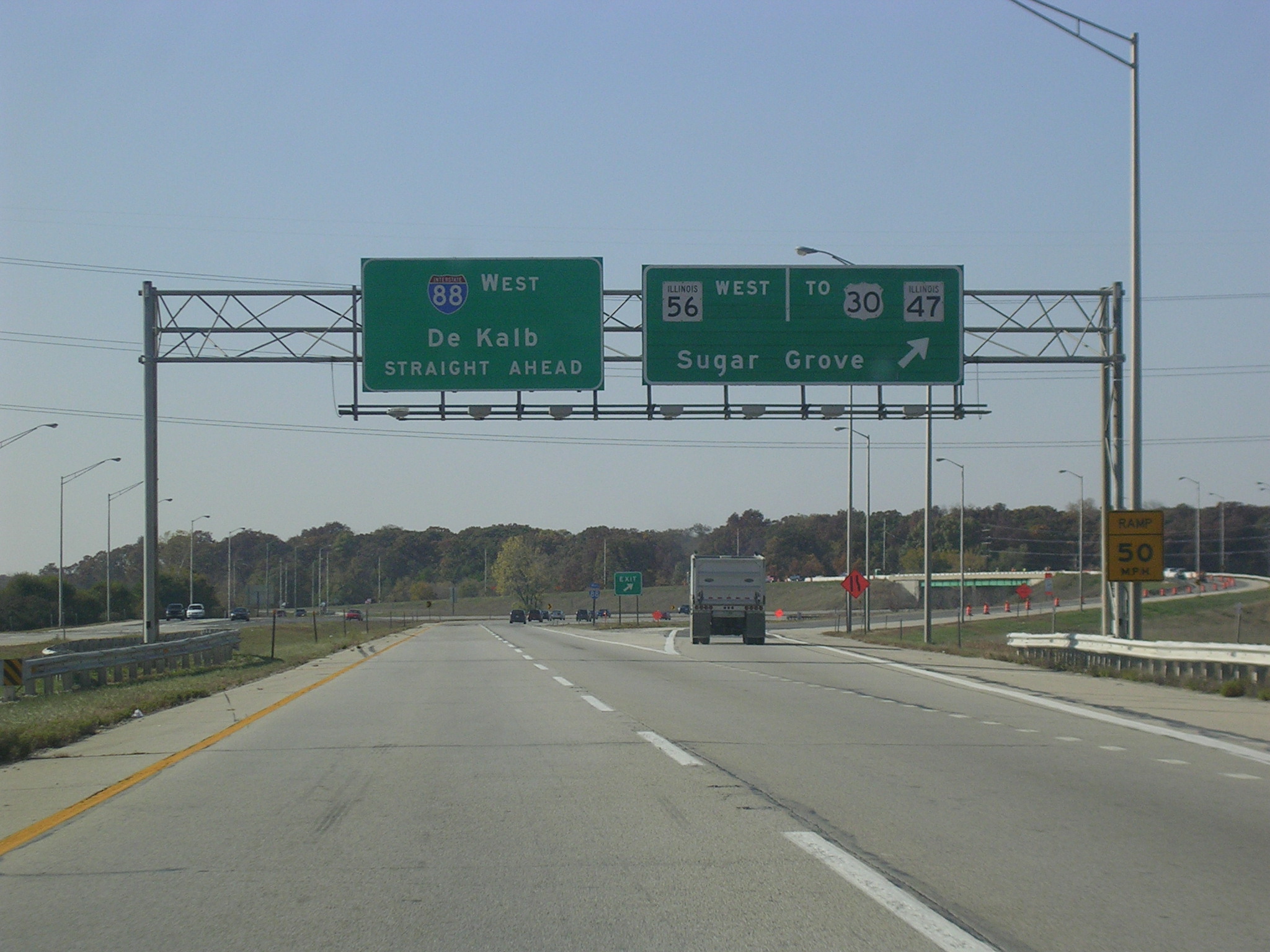
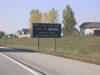
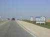
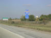
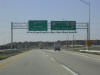 IL
56 is the only state route in IL that accompanies the tollway for any
length. It runs from IL 31 in Aurora to right here, where it branches
off to become its own freeway (an old leg of the tollway) to Sugar Grove and
IL 47/US 30. IL
56 is the only state route in IL that accompanies the tollway for any
length. It runs from IL 31 in Aurora to right here, where it branches
off to become its own freeway (an old leg of the tollway) to Sugar Grove and
IL 47/US 30. |
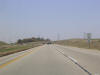 Speed
increases to 65 m.p.h. because there's nothing out here. It should be
70, if you ask me. Speed
increases to 65 m.p.h. because there's nothing out here. It should be
70, if you ask me. |
 The
newly renovated De Kalb Oasis. The
newly renovated De Kalb Oasis. |
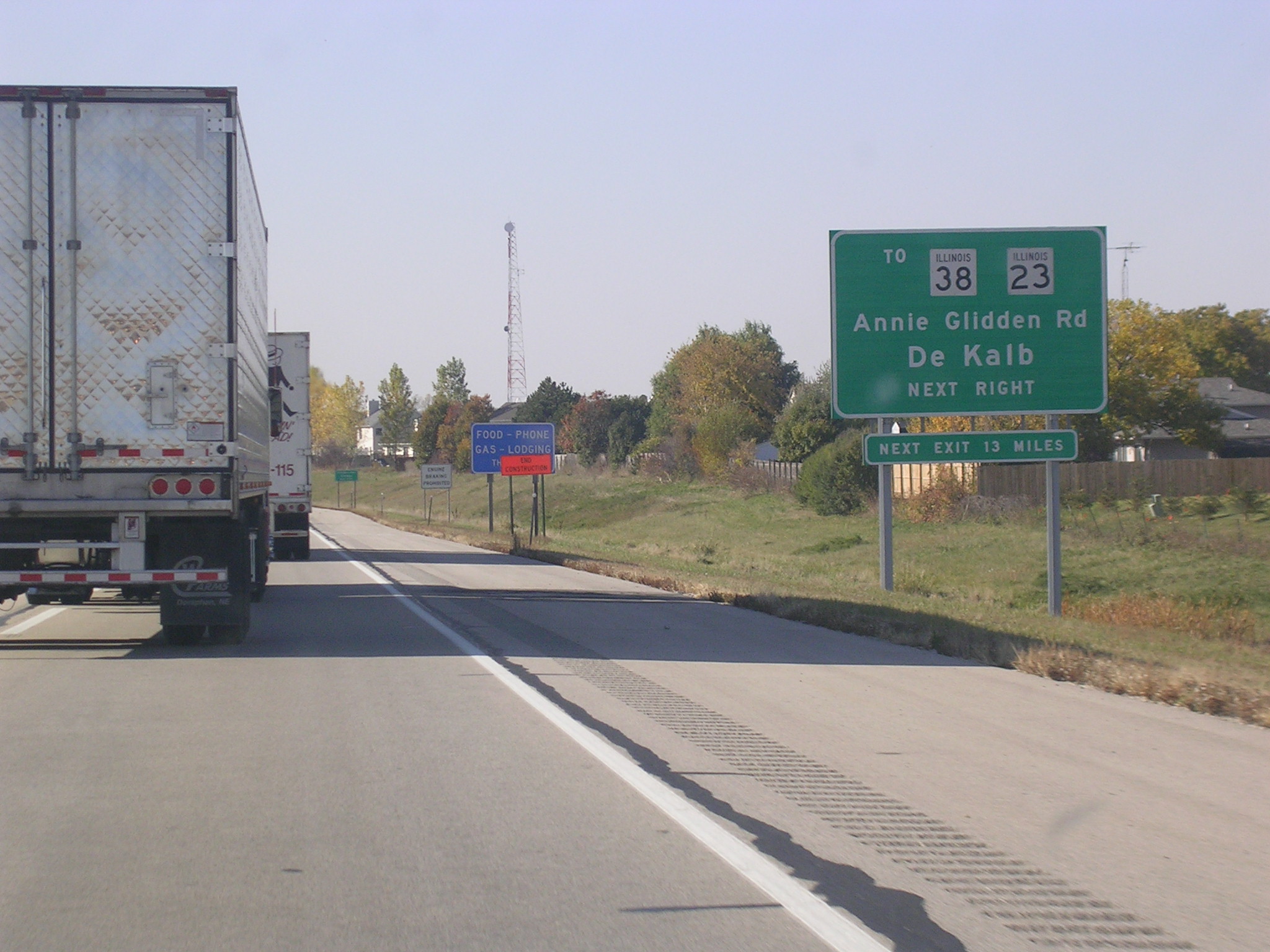
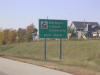
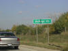
 Annie
Glidden Road runs past IL 23/IL 38 and goes all the way north to Wisconsin. Annie
Glidden Road runs past IL 23/IL 38 and goes all the way north to Wisconsin. |
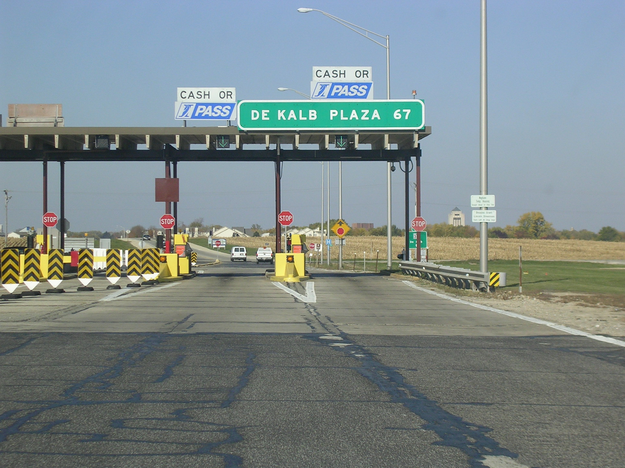
 Tolls
used to be 55 cents and now are $1.10. Tolls
used to be 55 cents and now are $1.10. |
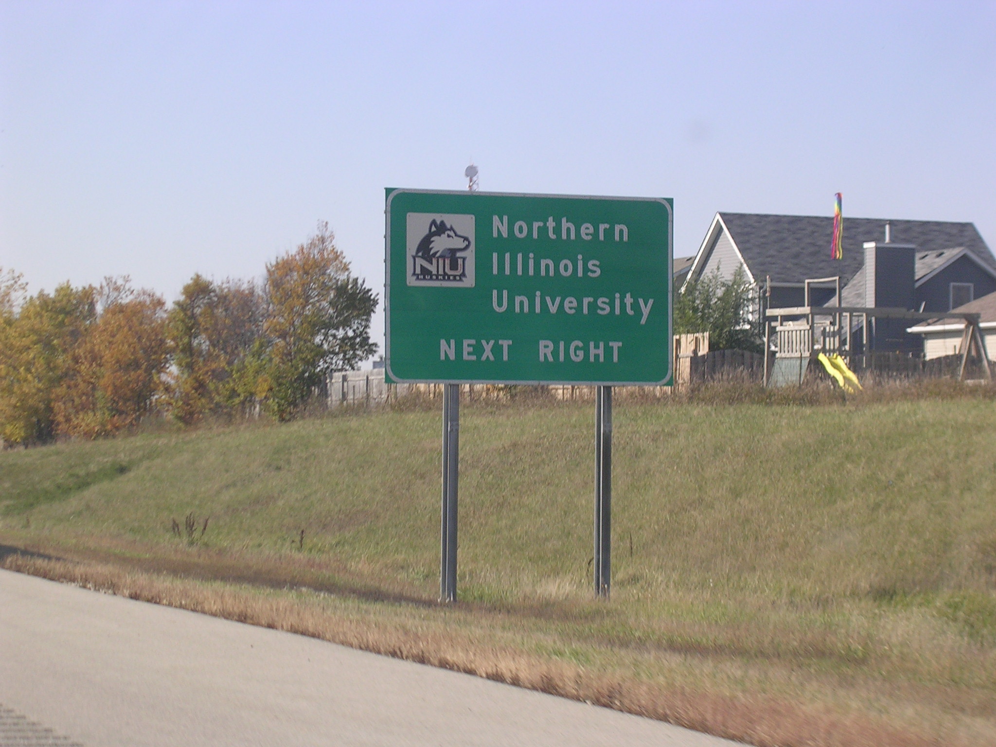
 My
destination for the weekend. My
destination for the weekend. |
 A
toll plaza on Annie Glidden Road. A
toll plaza on Annie Glidden Road. |
 Look
at those funky shields! Look like they are BGS shields and were just
used as stand alones. Look
at those funky shields! Look like they are BGS shields and were just
used as stand alones. |
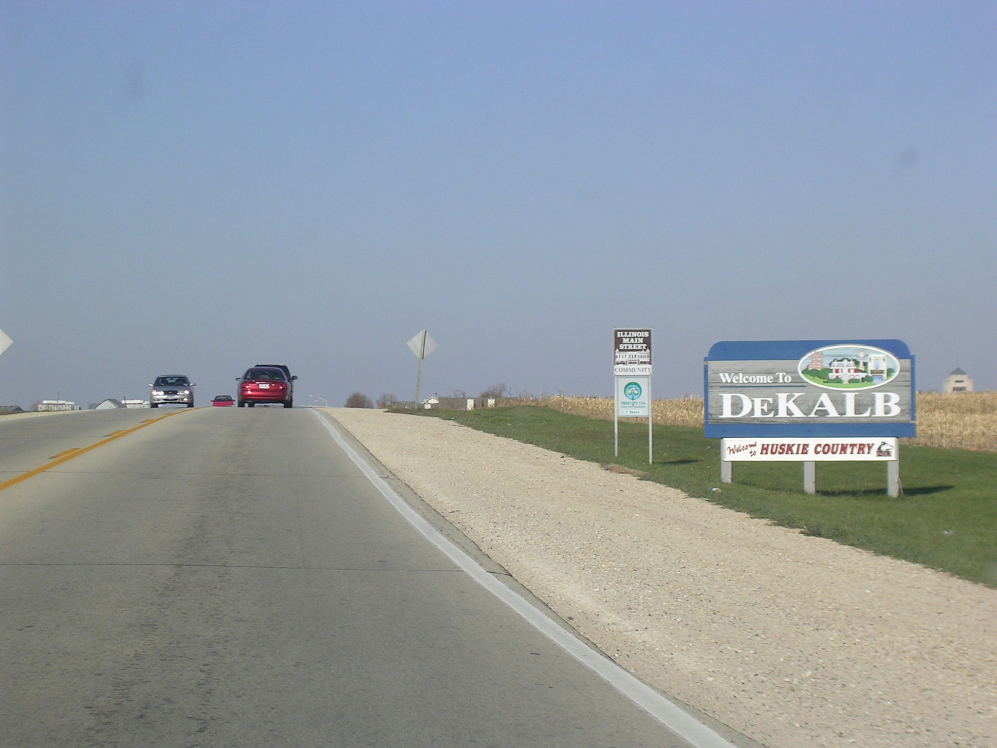
 De
Kalb welcomes me. De
Kalb welcomes me. |
 Annie
Glidden goes under railroad tracks before popping up into downtown De Kalb. Annie
Glidden goes under railroad tracks before popping up into downtown De Kalb. |
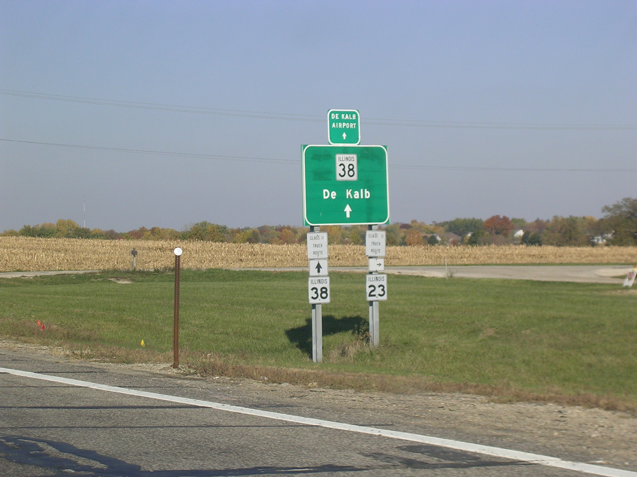
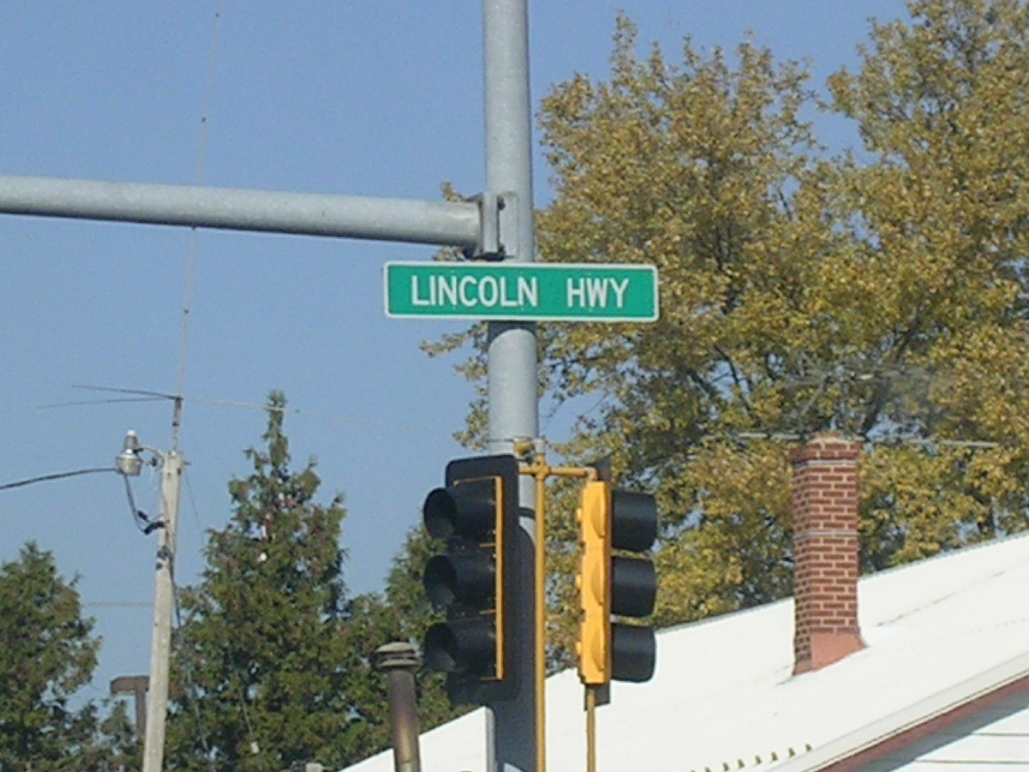
 IL
38 is known as Lincoln Hwy. in this town. It is Roosevelt Road in
Winfield, where I am from. IL
38 is known as Lincoln Hwy. in this town. It is Roosevelt Road in
Winfield, where I am from. |
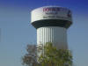 Huskie
water tower. Huskie
water tower. |
|
I-355 (North-South Tollway):
I-355 is a short tollway, running from I-290 near
Wooddale Mall to I-55 in Bolingbrook. However, its new end will be further
south at I-80 east of Joliet. That's a welcome addition if you ask me,
that will ease the trip to Indiana from the western burbs. Soon we won't
have to go through downtown Chicago to get to points east. These pics were
taken in 2005 courtesy of my friend Ricky's ride.
 North
I-355 shield. North
I-355 shield. |
 Tolls
have doubled since I've been here. Unless you have I-PASS. Tolls
have doubled since I've been here. Unless you have I-PASS. |
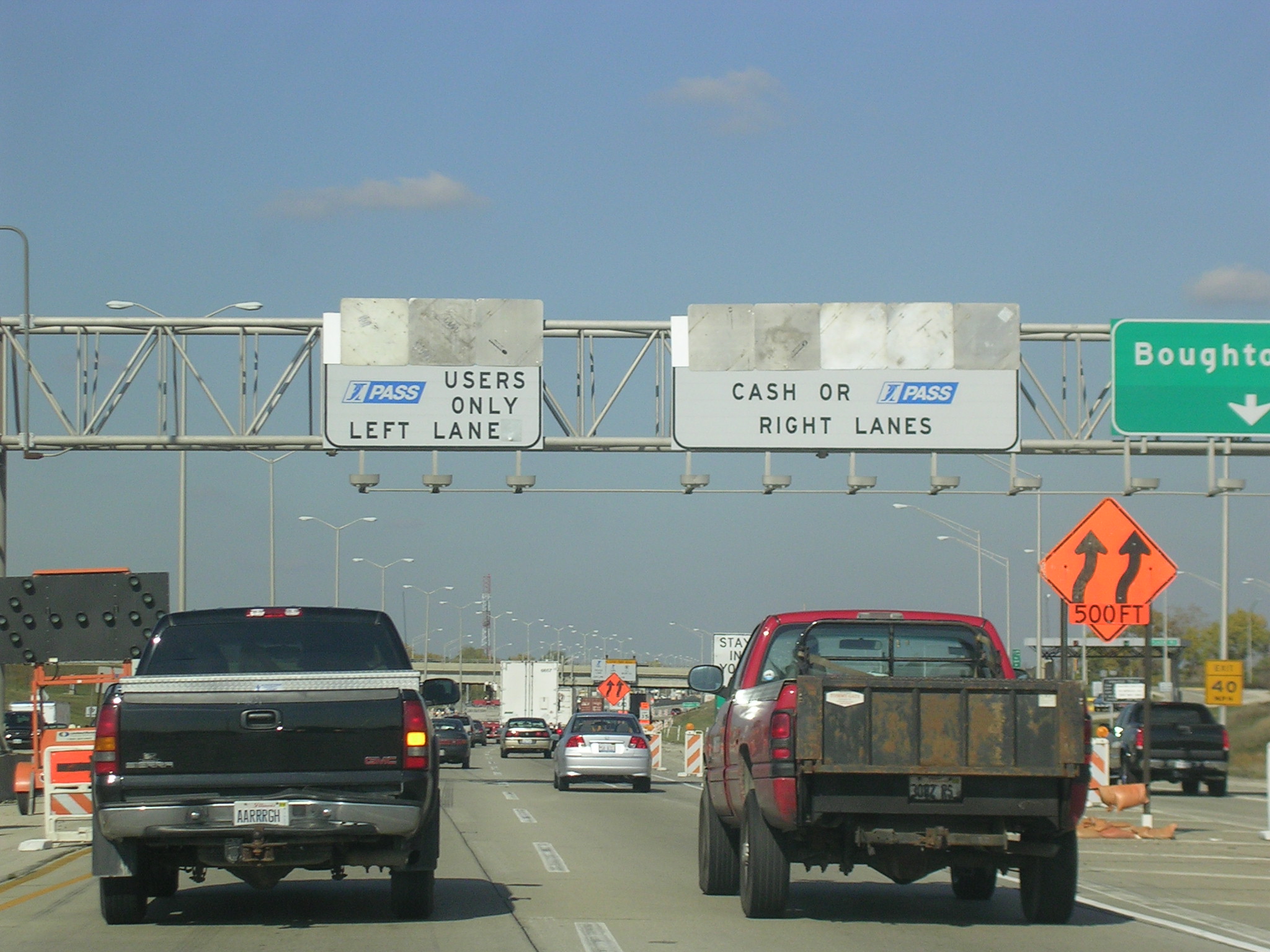
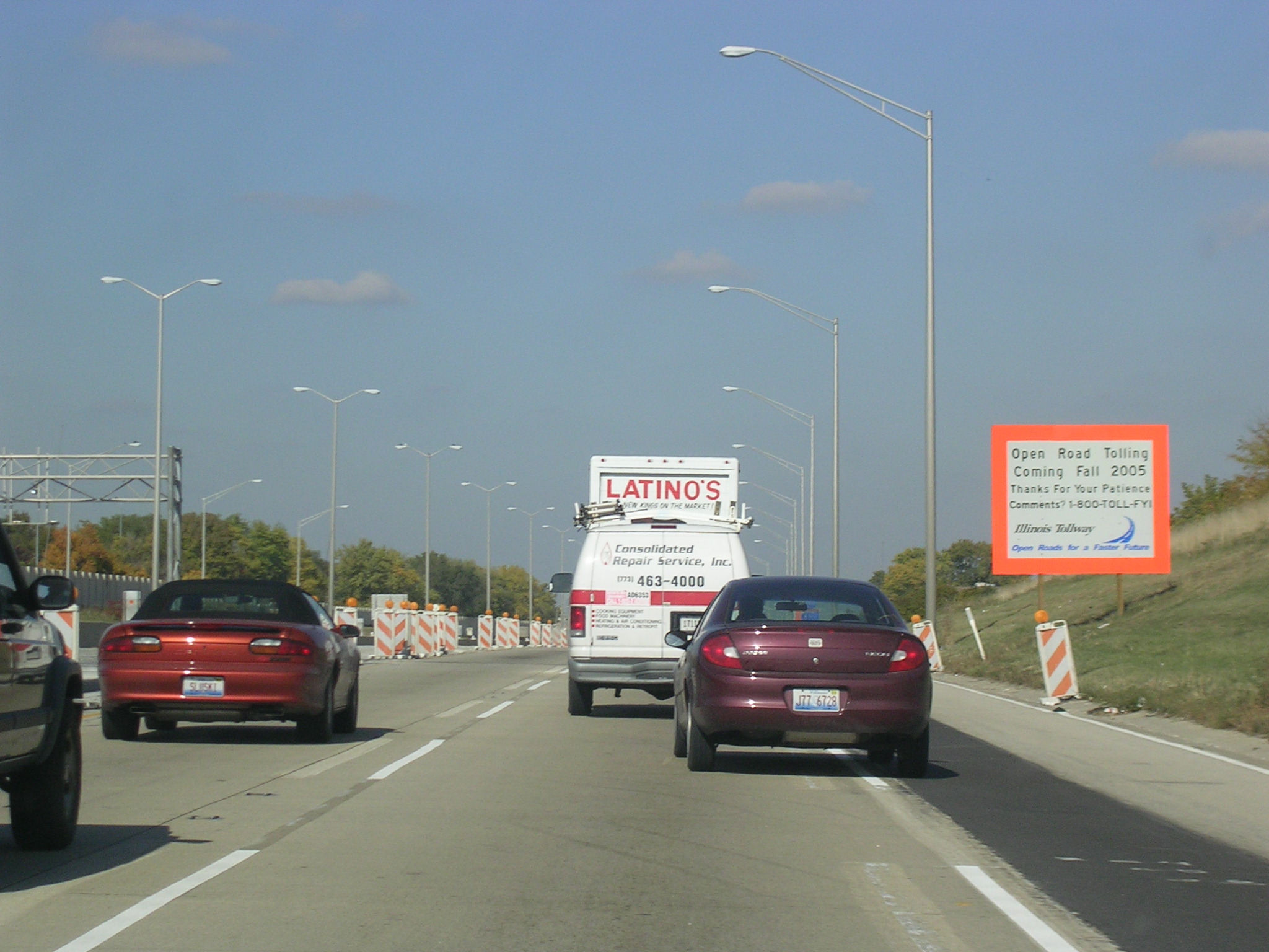
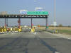
 We've
barely been on the road and already there's a toll plaza ahead, which is
under construction to make it Open-Road Tolling. I-PASS users won't
have to stop to pay tolls but everyone else will have to exit the roadway to
pay. We've
barely been on the road and already there's a toll plaza ahead, which is
under construction to make it Open-Road Tolling. I-PASS users won't
have to stop to pay tolls but everyone else will have to exit the roadway to
pay. |
 The
only thing that stinks about this new project is that my pastel toll plaza
signs (blue for I-PASS, purple for coins, and pink for cash) are now
history. The
only thing that stinks about this new project is that my pastel toll plaza
signs (blue for I-PASS, purple for coins, and pink for cash) are now
history. |
 My
home county. My
home county. |
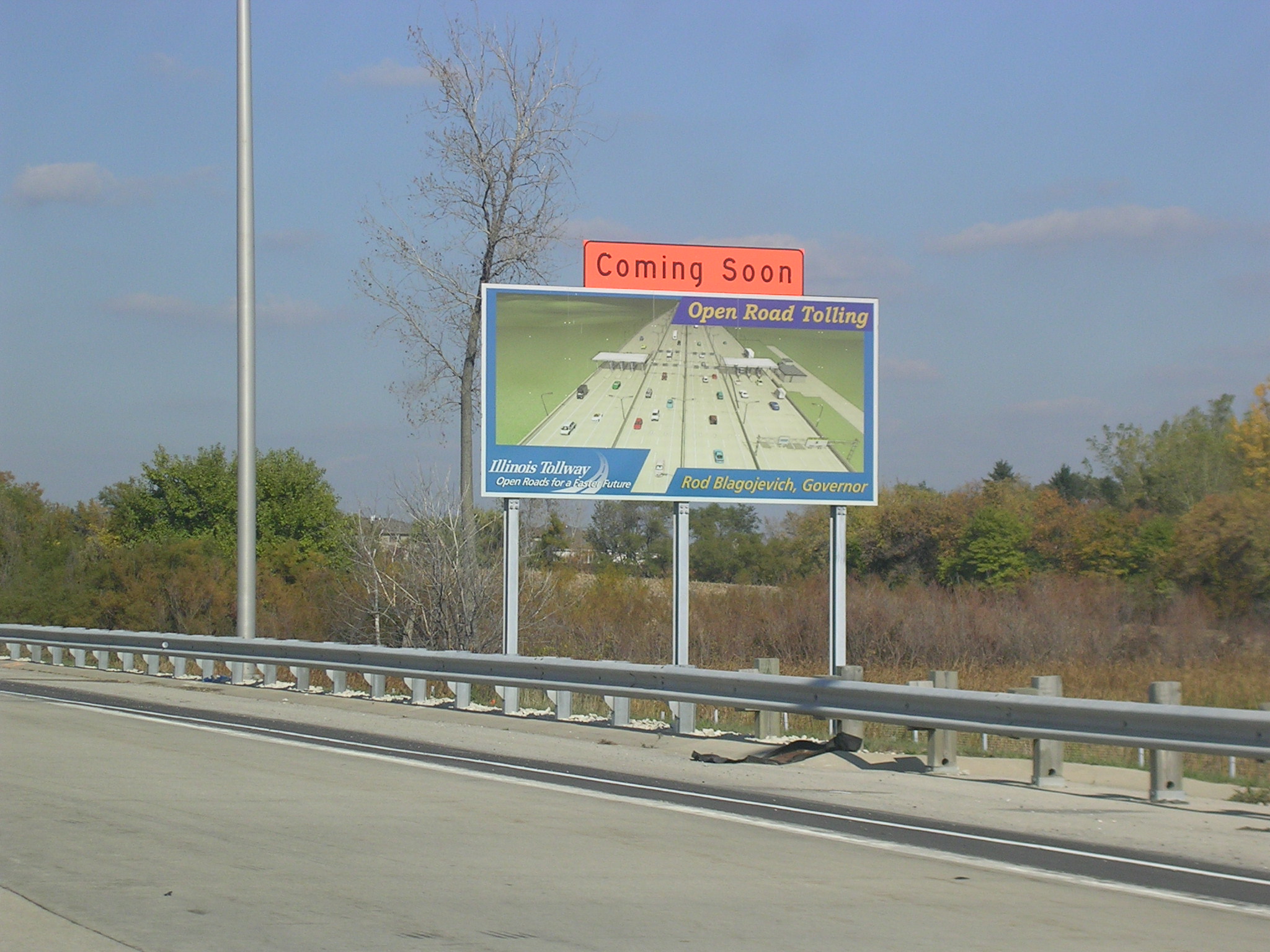
 This
is an Open-Road Tolling diagram. This
is an Open-Road Tolling diagram. |
 The
toll plaza looks kinda wimpy now, but soon there will be 3 high-speed lanes
on the left and this will be all coin and cash machines. The
toll plaza looks kinda wimpy now, but soon there will be 3 high-speed lanes
on the left and this will be all coin and cash machines. |
 Construction
just north of the plaza. Construction
just north of the plaza. |
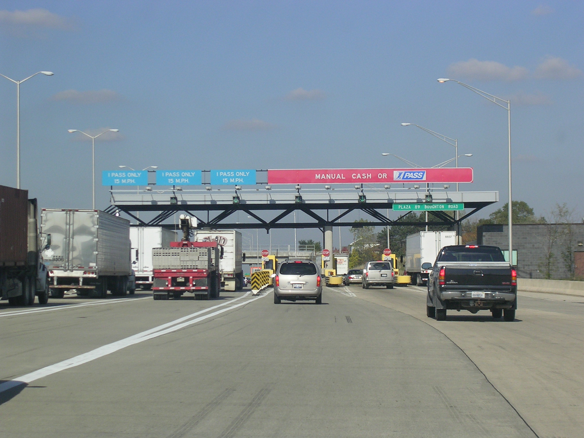
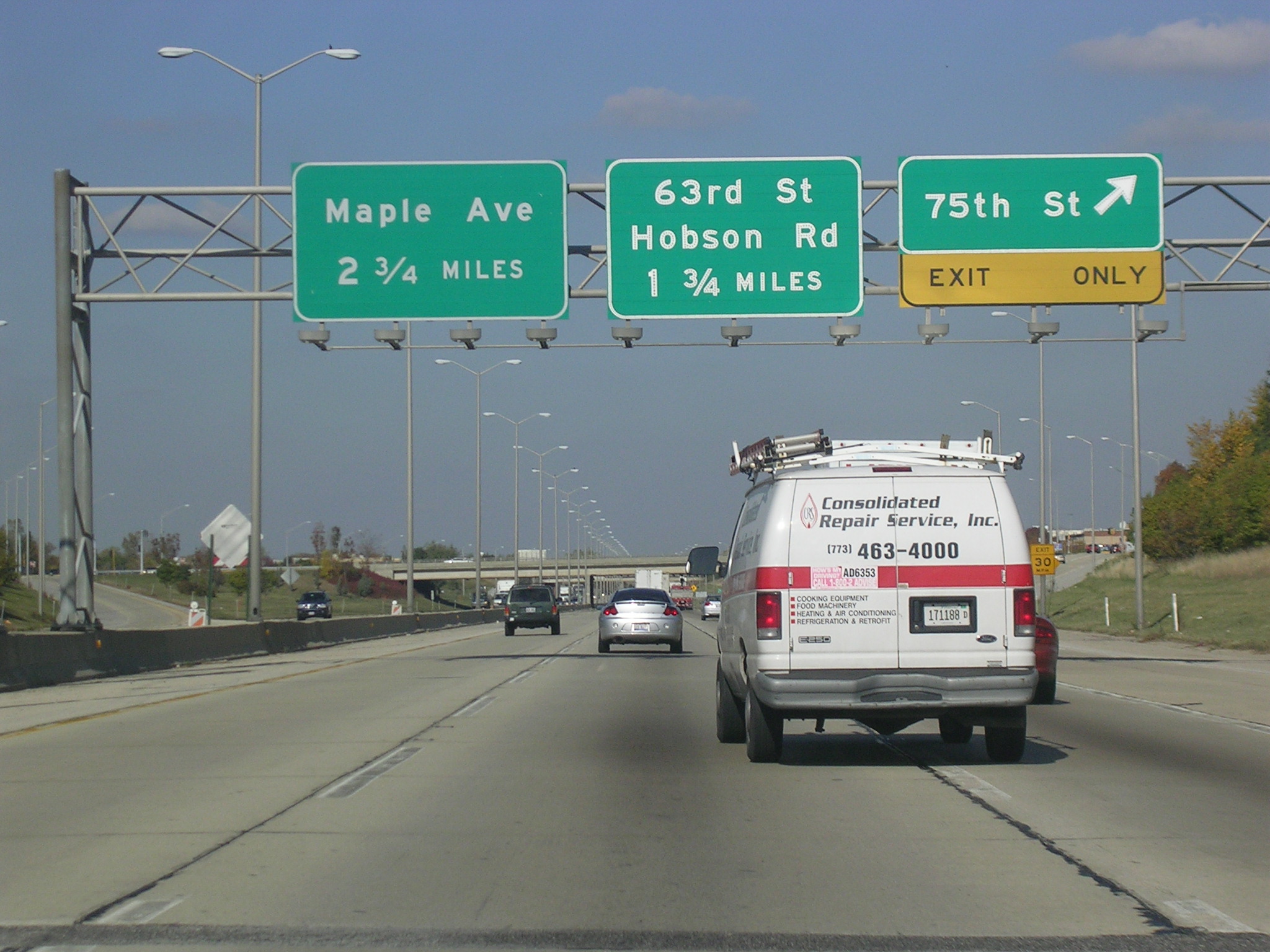
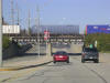
 NB
I-355 at 75th Street. NB
I-355 at 75th Street. |
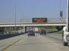
 Coming
up on I-88, which is the Reagan Tollway, but still says E-W Tollway.
Sigh... It'll always be the E-W Tollway to me... Coming
up on I-88, which is the Reagan Tollway, but still says E-W Tollway.
Sigh... It'll always be the E-W Tollway to me... |
 Is
this really pertinent information to be putting out on the highways?
Now if it were the Cubs... Is
this really pertinent information to be putting out on the highways?
Now if it were the Cubs... |
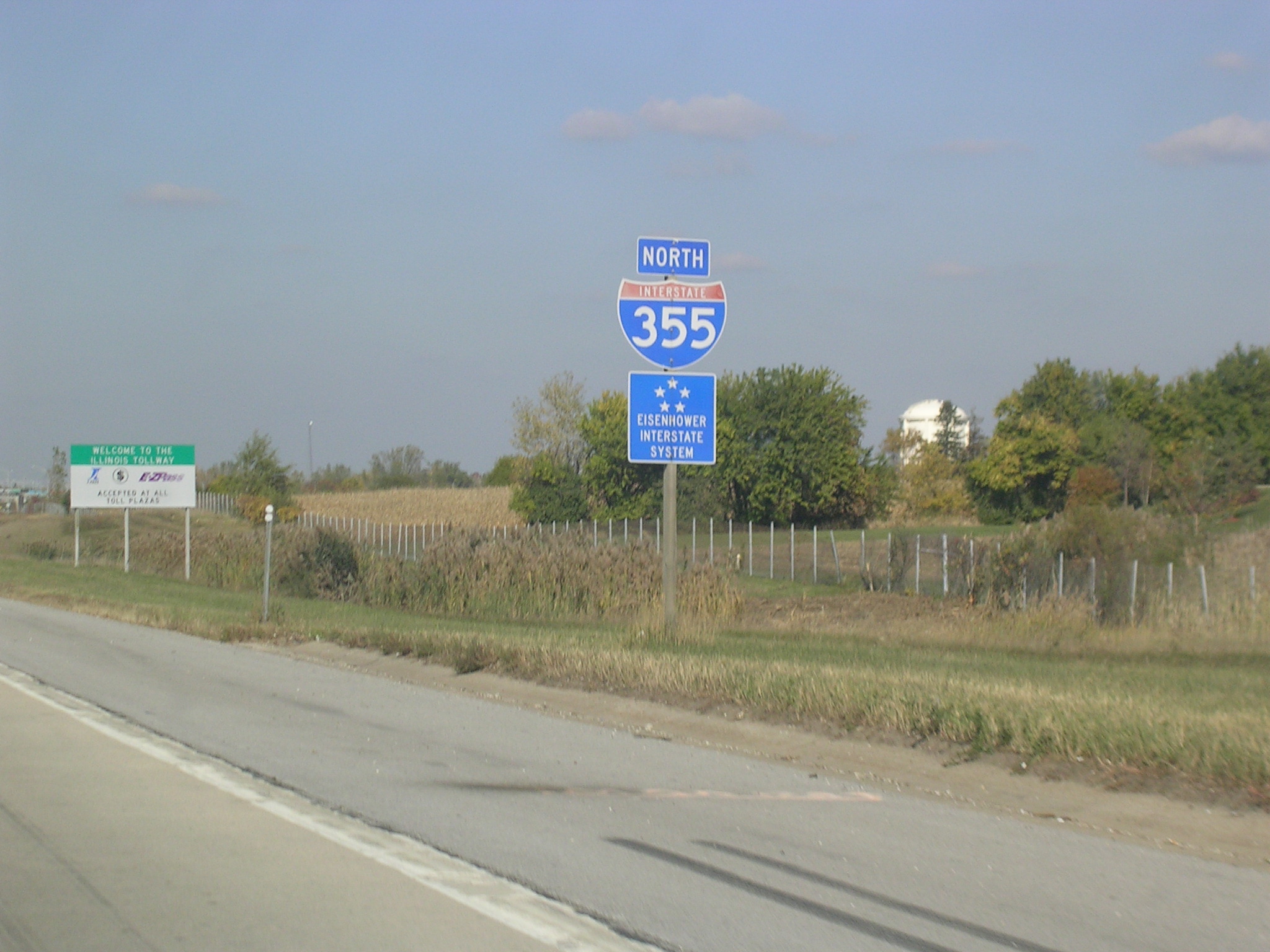
 An
I-355 shield just before the I-88 interchange. An
I-355 shield just before the I-88 interchange. |
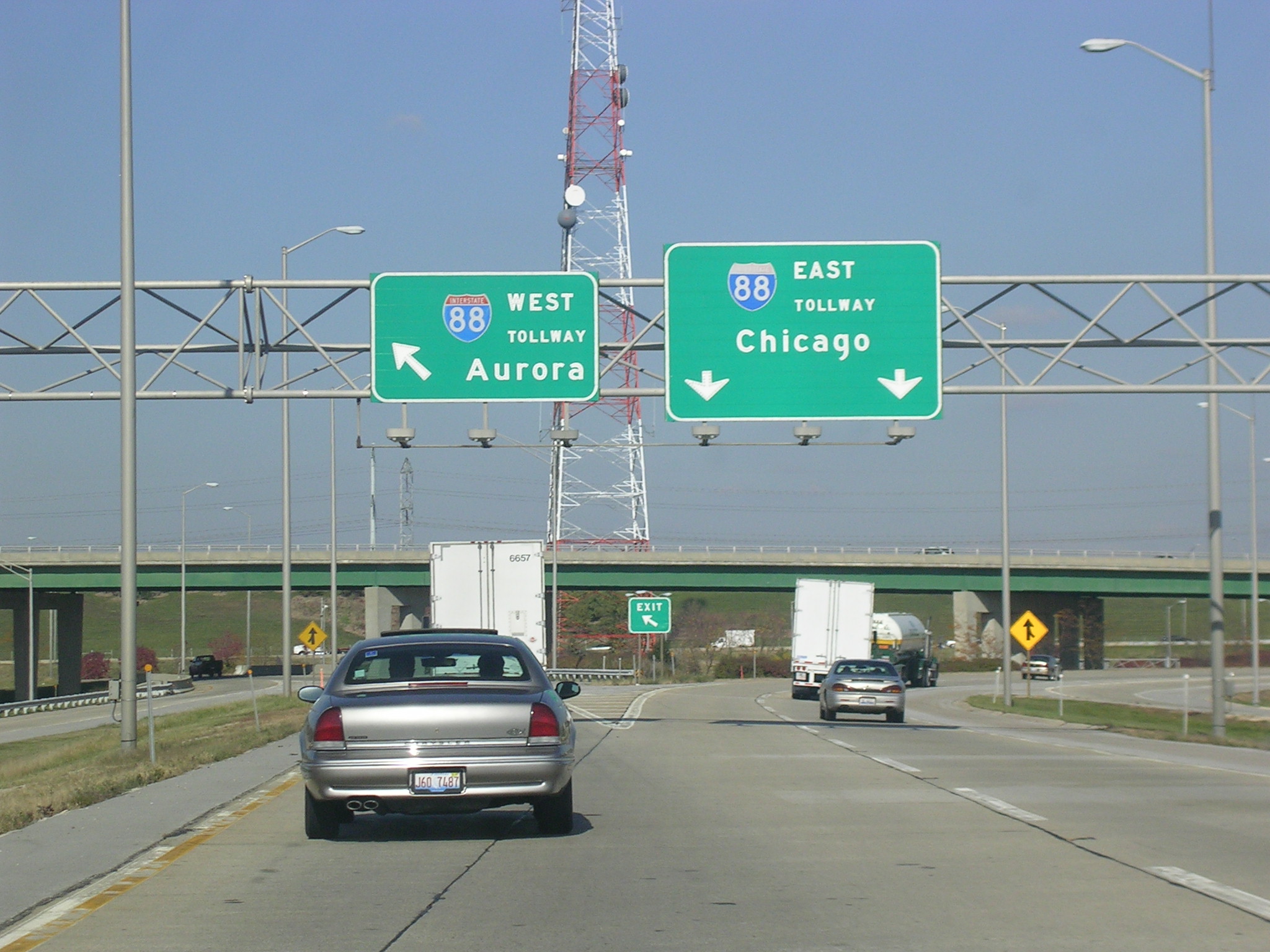
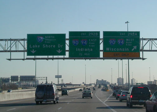
 Want
to go to Aurora or Chicago? I'll take Aurora please. Want
to go to Aurora or Chicago? I'll take Aurora please. |
|
I-294 (Tri-State Tollway):
I-294 is known as the Tri-State and is quite busy. It is the main
thoroughfare to get to O'Hare for anyone in the North, West, or South Burbs.
It runs from I-80/94 in Lansing south of the city to where I-94 usurps the
Tri-State designation in Deerfield. Pics from 2002.
 I-294
NB on the Cook-DuPage County Line on a beautiful day in Chicagoland.
I-294 is 8 lanes from O'Hare Int'l Airport southward until who knows where
in the Southwest Burbs. I-294
NB on the Cook-DuPage County Line on a beautiful day in Chicagoland.
I-294 is 8 lanes from O'Hare Int'l Airport southward until who knows where
in the Southwest Burbs. |
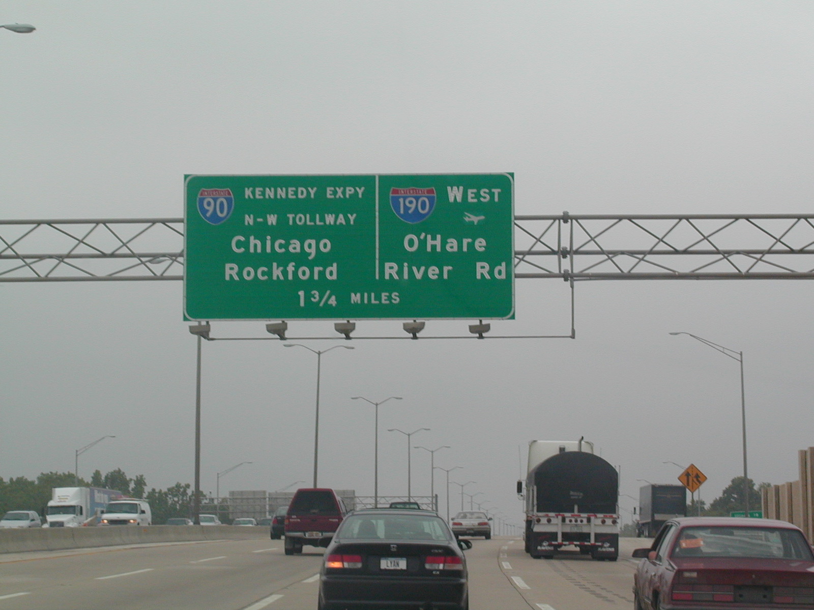
 I-294
NB approaching I-90 and I-190 near O'Hare. I-90 is the Northwest
Tollway to the west of the Tri-State and the Kennedy Expressway east into
Chicago. I-294
NB approaching I-90 and I-190 near O'Hare. I-90 is the Northwest
Tollway to the west of the Tri-State and the Kennedy Expressway east into
Chicago. |
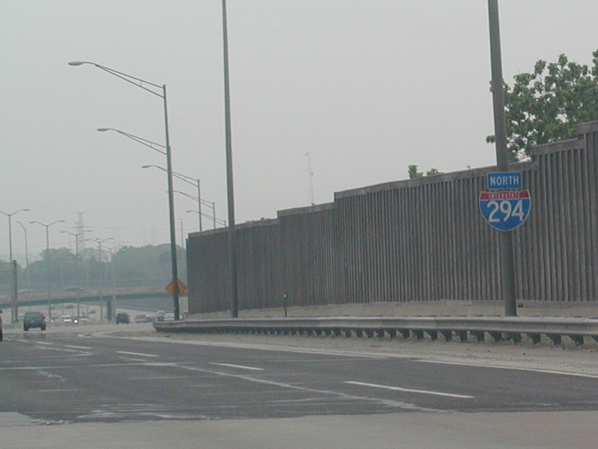
 I-294
is off to the left, and the ramp to I-90/I-190 splits ahead. Near
O'Hare. I-294
is off to the left, and the ramp to I-90/I-190 splits ahead. Near
O'Hare. |
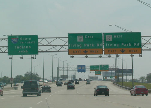
 I-294
SB at IL 19, Irving Park Rd, just south of the Irving Park Toll Plaza.
Irving Park goes from Elgin to the Lake as IL 19, one of the only remaining
IL Routes still signed in the downtown part of the city. IL 64 (North
Ave.) is the other. I-294
SB at IL 19, Irving Park Rd, just south of the Irving Park Toll Plaza.
Irving Park goes from Elgin to the Lake as IL 19, one of the only remaining
IL Routes still signed in the downtown part of the city. IL 64 (North
Ave.) is the other. |
 On
a nicer day, I-294 SB at I-290 WB. I-290 parallels I-294 sort of like
I-355 does I-88 for a few miles. It then heads east into Chicago and
west out to Schaumburg. On
a nicer day, I-294 SB at I-290 WB. I-290 parallels I-294 sort of like
I-355 does I-88 for a few miles. It then heads east into Chicago and
west out to Schaumburg. |
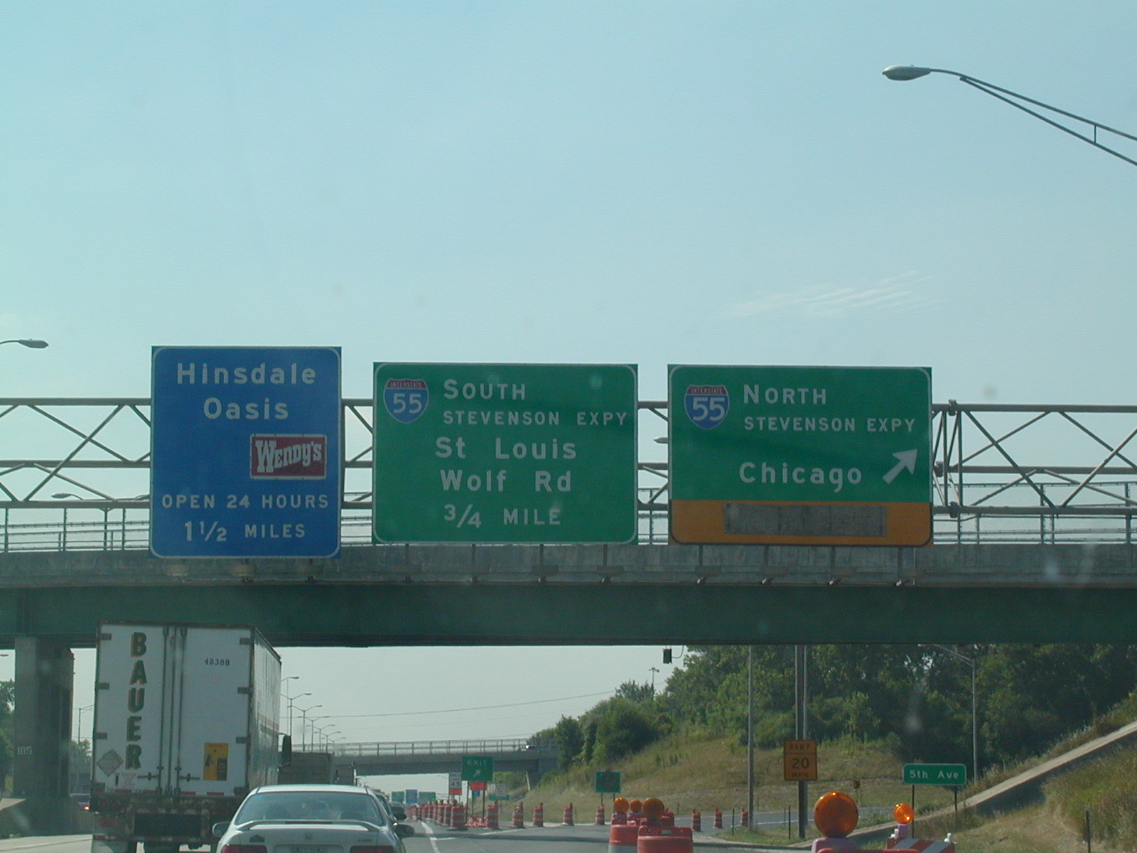
 Tri-State
NB at the Stevenson Expy. (I-55) near Countryside and Burr Ridge. The
Hinsdale Oasis is just ahead, and along with the rest of them, are
undergoing reconstruction in 2004. Tri-State
NB at the Stevenson Expy. (I-55) near Countryside and Burr Ridge. The
Hinsdale Oasis is just ahead, and along with the rest of them, are
undergoing reconstruction in 2004. |
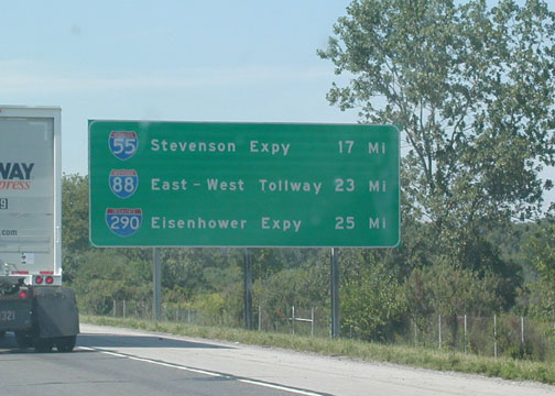
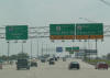
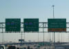
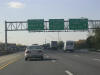
 Mileage
signs for the Western Burbs' expressway system. I-55 in 17 miles, I-88
in 23, and I-290 in 25. Mileage
signs for the Western Burbs' expressway system. I-55 in 17 miles, I-88
in 23, and I-290 in 25. |
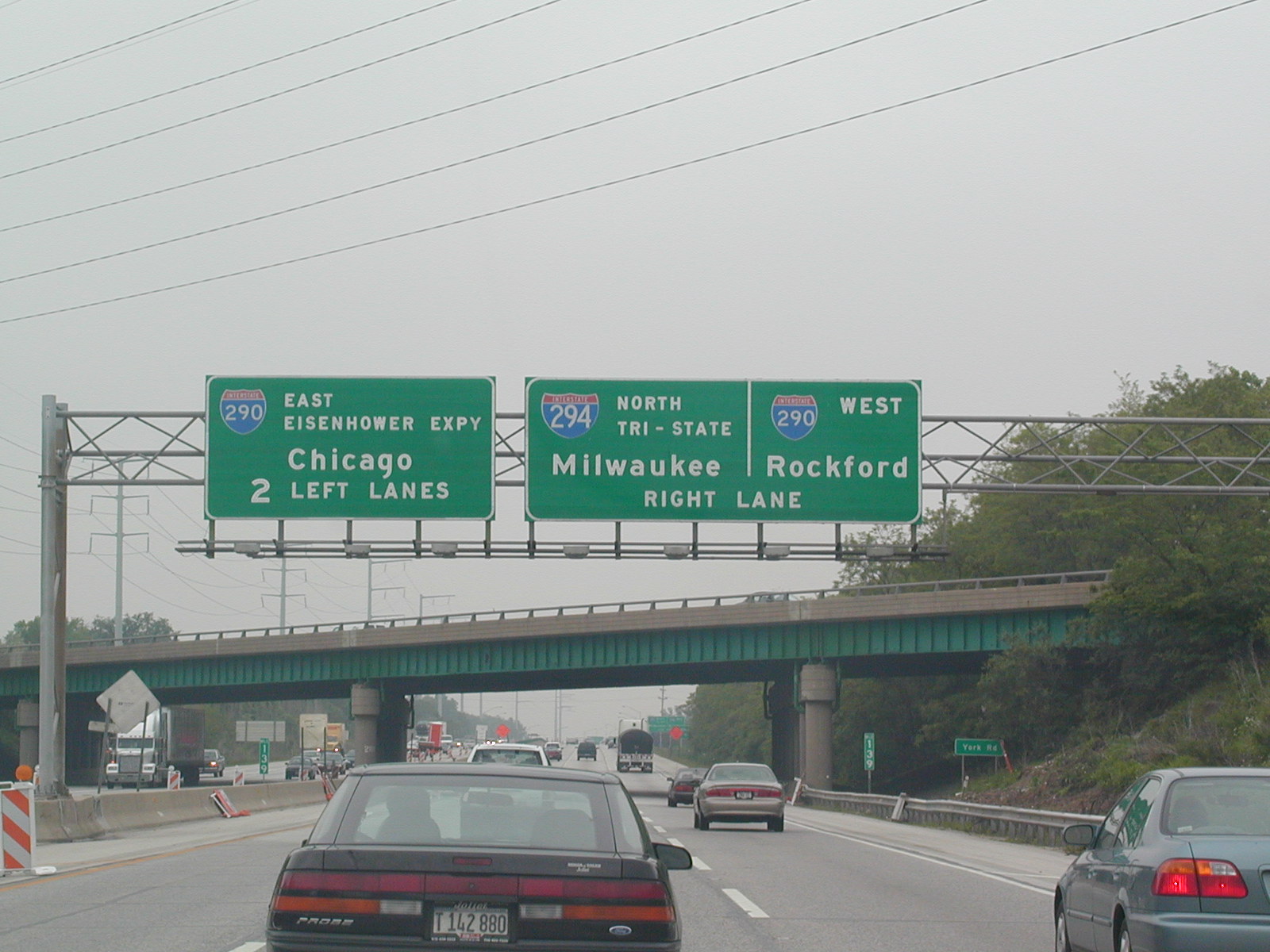
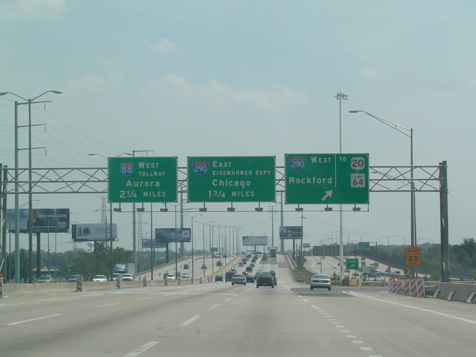
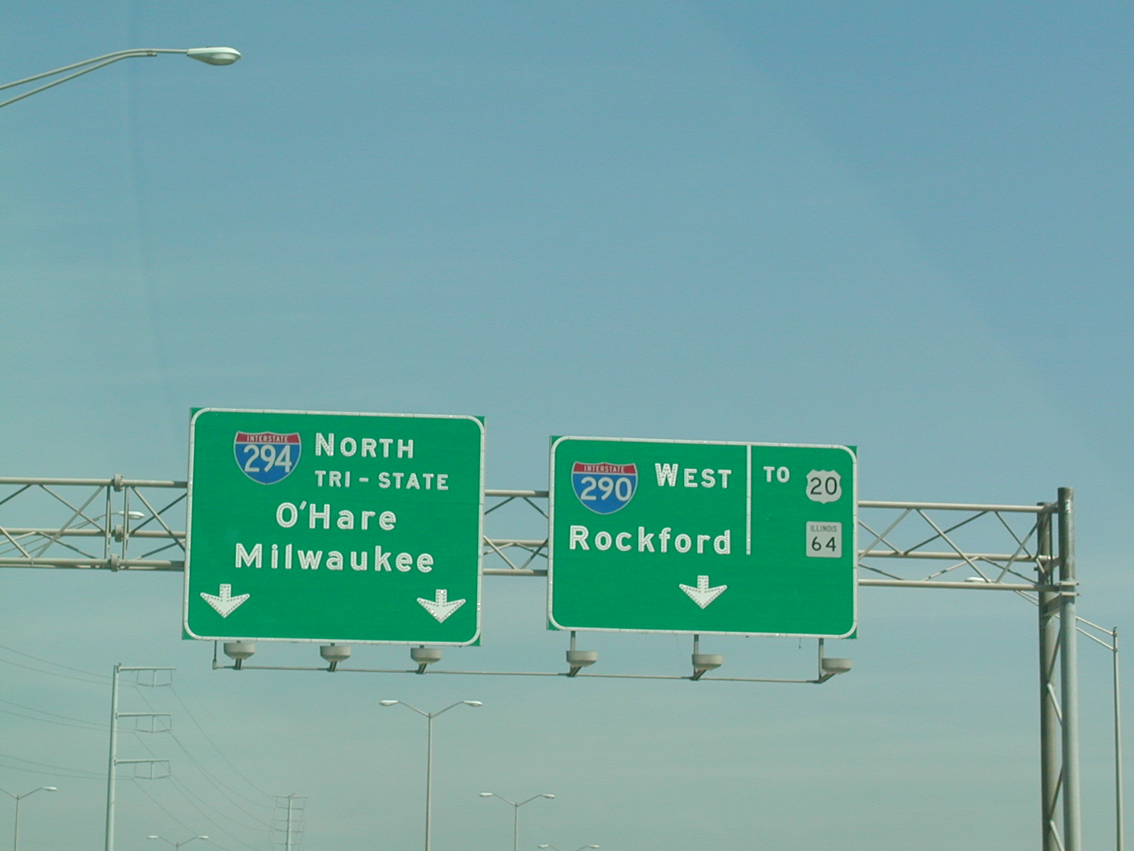
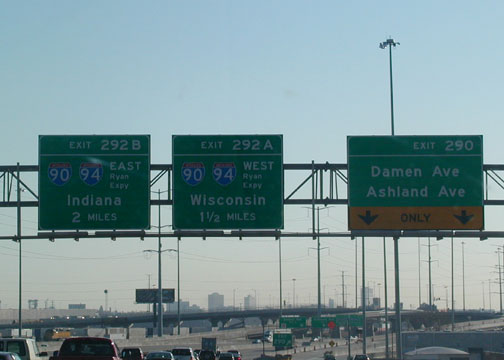
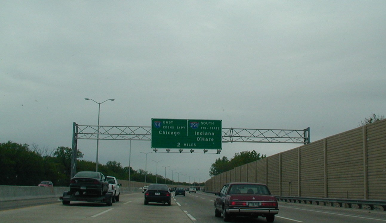
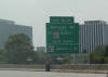
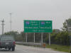
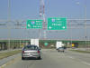
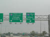
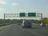
 From
the exit from I-88 EB to I-294 NB, you encounter this sign that has an exit
to I-290 to Rockford. From
the exit from I-88 EB to I-294 NB, you encounter this sign that has an exit
to I-290 to Rockford. |
I-90 (Chicago Skyway):
The Skyway is a 7-mile-long bridge that connects the Dan Ryan Expressway to
the Indiana E-W Toll Road. It is below interstate standard, but I-90
should be on the road. It is really not that bad of a road and should be
I-90 anyway. It's also always under construction. Pics from 2002.
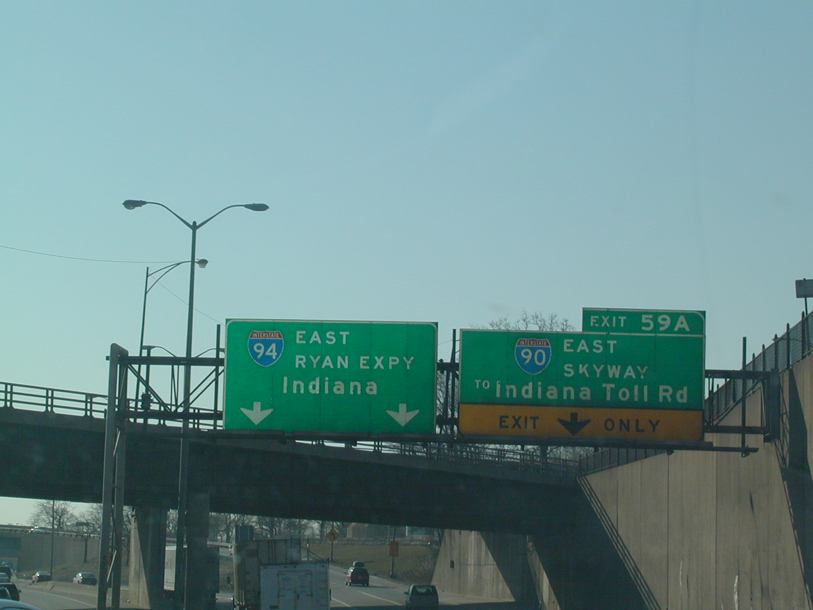
 A
really old sign on the outbound (Eastbound) Ryan Expy. (I-90/94) showing the
split of the two interstates. The Ryan continues south to Calumet City
and the Skyway begins here, turning into the Indiana Toll Road 7 miles
ahead. A
really old sign on the outbound (Eastbound) Ryan Expy. (I-90/94) showing the
split of the two interstates. The Ryan continues south to Calumet City
and the Skyway begins here, turning into the Indiana Toll Road 7 miles
ahead. |
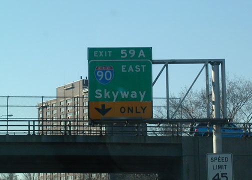
 This
BGS is technically incorrect as it shows the Skyway as I-90. But the
Skyway is below interstate standard and is signed "To I-90" throughout. This
BGS is technically incorrect as it shows the Skyway as I-90. But the
Skyway is below interstate standard and is signed "To I-90" throughout. |
 See? See? |
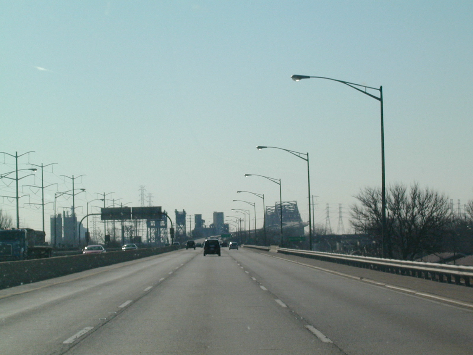
 Here's
what the Skyway looks like. An elevated 7-mile expressway. The
bridge ahead gives a spectacular view of the city to the left and to the
right, a spectacular view of ugly industry. Here's
what the Skyway looks like. An elevated 7-mile expressway. The
bridge ahead gives a spectacular view of the city to the left and to the
right, a spectacular view of ugly industry. |
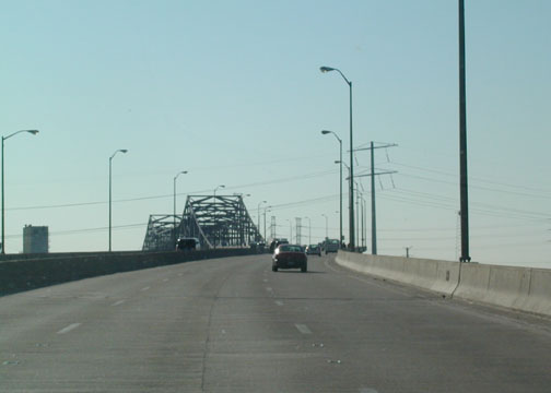
 Climbing
the bridge. The Skyway is in a perpetual state of construction, so
this is the 2002 view. The 2004 view has a bit more orange. Climbing
the bridge. The Skyway is in a perpetual state of construction, so
this is the 2002 view. The 2004 view has a bit more orange. |
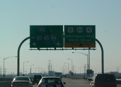
 The
last sign bridge on the Skyway eastbound. The Indiana line is just
ahead. The
last sign bridge on the Skyway eastbound. The Indiana line is just
ahead. |
I-55 (Stevenson Expressway):
The Stevenson starts somewhere between I-355 in Bolingbrook and I-294 near
Countryside. Who knows where exactly? Not me. It is one of the
few interstates that don't end at another interstate, as I-55 ends at US 41 in
Chicago near McCormick Place. The southern end of I-55 is at I-10 near New
Orleans.
2002:
 Too
bad this truck got in the way of the greatest city on Earth. From the
inbound Stevenson. Too
bad this truck got in the way of the greatest city on Earth. From the
inbound Stevenson. |
 Inbound
Stevenson at the Ryan. I-55 continues past I-90/94 for about a mile
and a half before it ends at Lake Shore Drive, US 41. Inbound
Stevenson at the Ryan. I-55 continues past I-90/94 for about a mile
and a half before it ends at Lake Shore Drive, US 41. |
 Inbound
Stevenson at the exit for I-90/94 West to Wisconsin. Inbound
Stevenson at the exit for I-90/94 West to Wisconsin. |
|
2005:
 I
came back to Chicago in October 2005, and flew into Midway, where my friend
Ricky picked me up. So here's the Stevenson in Chicago just south of
the Midway exit. I
came back to Chicago in October 2005, and flew into Midway, where my friend
Ricky picked me up. So here's the Stevenson in Chicago just south of
the Midway exit. |
 The
Stevenson at US 12-20-45, LaGrange Road. The
Stevenson at US 12-20-45, LaGrange Road. |
 It
says Kingery Road, but it's really Kingery Highway. This is in DuPage
County now. It
says Kingery Road, but it's really Kingery Highway. This is in DuPage
County now. |
 Cass
Ave, which heads north to become Midwest Road in Oak Brook and Summit Ave.
in Lombard. Cass
Ave, which heads north to become Midwest Road in Oak Brook and Summit Ave.
in Lombard. |
 Approaching
I-355, which is being extended southward to I-80 as we speak. Approaching
I-355, which is being extended southward to I-80 as we speak. |
 South
I-55. Is this the Stevenson Expy. here or not? Who knows? South
I-55. Is this the Stevenson Expy. here or not? Who knows? |
I-94 (Tri-State Tollway):
I-94 is mostly north-south in the state of Illinois. It comes into
Illinois from Wisconsin as the Tri-State Tollway and then splits off to the east
at I-294, called the Edens Spur. The Edens Spur is really part of the
Tri-State. But the Tri-State continues on I-294 and I-94 becomes the Edens
Expy. into Chicago. Pics from 2002.
 I-94
inbound (EB) approaching I-294. This is where the Edens Spur splits
off to the left, carrying I-94 and the Tri-State continues on I-294. I-94
inbound (EB) approaching I-294. This is where the Edens Spur splits
off to the left, carrying I-94 and the Tri-State continues on I-294. |
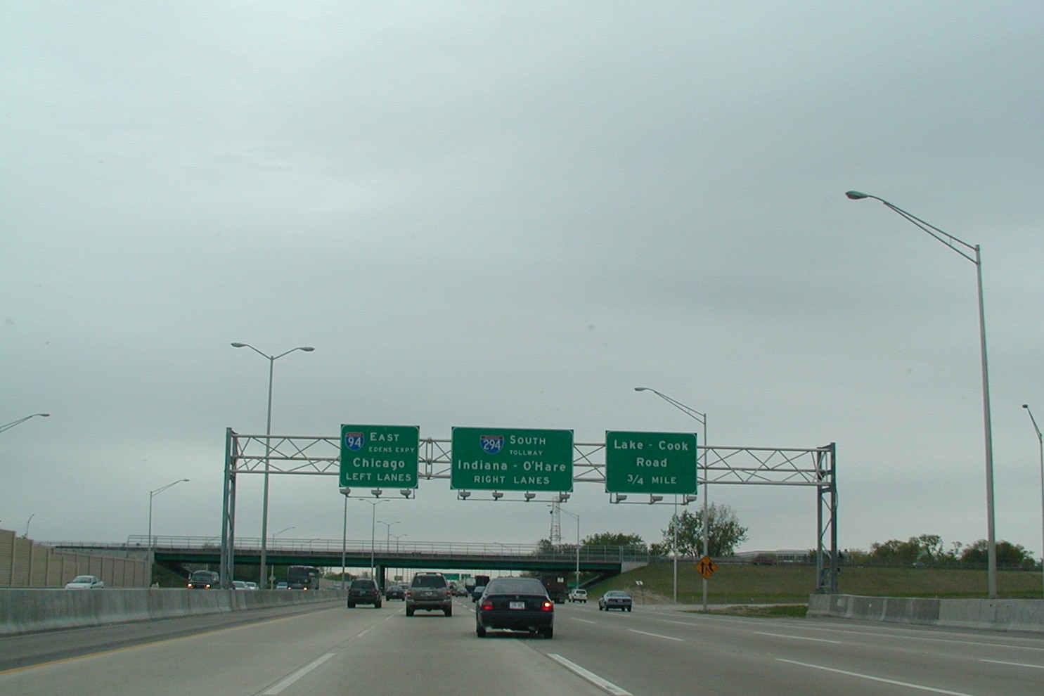
 Notice
that I-94 is signed as the Edens Expy. in the left BGS. Lake-Cook Road
is the County Line road for the two counties it is named after. Notice
that I-94 is signed as the Edens Expy. in the left BGS. Lake-Cook Road
is the County Line road for the two counties it is named after. |
 This
sign is from Half Day Rd, IL 22, and shows I-94 East as I-94 South.
Technically, the sign is correct because the Tri-State is a N-S highway. This
sign is from Half Day Rd, IL 22, and shows I-94 East as I-94 South.
Technically, the sign is correct because the Tri-State is a N-S highway. |
|
Back to Chicagoland
Page
Home
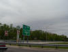
 I-88
WB after the York Toll Plaza in Oak Brook. This exit is for IL 83 (Kingery
Hwy.) and Cermak Rd (which is 22nd Street in DuPage County, but Cermak in
Cook County). The exit actually connects to Spring Rd., but that is
unimportant in this case. The Oak Brook Shopping Mall is at this exit.
I-88
WB after the York Toll Plaza in Oak Brook. This exit is for IL 83 (Kingery
Hwy.) and Cermak Rd (which is 22nd Street in DuPage County, but Cermak in
Cook County). The exit actually connects to Spring Rd., but that is
unimportant in this case. The Oak Brook Shopping Mall is at this exit.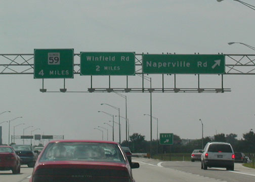 I-88
WB at Naperville Rd (DuPage CR 23). Winfield Rd. (CR 13) is next, and
it was the exit that took me to my house in Winfield.
I-88
WB at Naperville Rd (DuPage CR 23). Winfield Rd. (CR 13) is next, and
it was the exit that took me to my house in Winfield.